The best mountain hikes around Wasserburg
4.6
(7)
30
hikers
12
hikes
Mountaineering routes around Wasserburg traverse the scenic Inn valley floor and the rolling moraines and hills of the Bavarian Alpenvorlandes. While the town itself is nestled in the foothills, its immediate surroundings offer diverse terrain, including the picturesque Inn River banks and the Stadtwald forest. This region serves as a strategic gateway to the more demanding alpine challenges of the wider Bavarian Alps, providing a blend of local trails and access to high-altitude mountaineering.
Best mountaineering routes around Wasserburg
- The…
Last updated: October 8, 2026
2
hikers
20.4km
07:44
1,090m
1,090m
Hard mountaineering route. Very good fitness required. Sure-footedness, sturdy shoes and alpine experience required.
7
hikers
11.5km
04:33
690m
680m
Moderate mountaineering route. Good fitness required. Mostly accessible paths. Sure-footedness required.

5.0
(2)
4
hikers
7.29km
02:45
330m
330m
Hard mountaineering route. Good fitness required. Sure-footedness, sturdy shoes and alpine experience required.
3.0
(1)
4
hikers
14.7km
05:11
790m
790m
Hard mountaineering route. Very good fitness required. Mostly accessible paths. Sure-footedness required.
2
hikers
3.48km
01:19
200m
200m
Moderate mountaineering route. Great for any fitness level. Mostly accessible paths. Sure-footedness required.
Get access to more routes and recommendations from other explorers.
Already have an account?
Our route recommendations are based on thousands of hikes, rides, and runs completed by other people on komoot.
Start today with a free account
Your next adventure awaits.
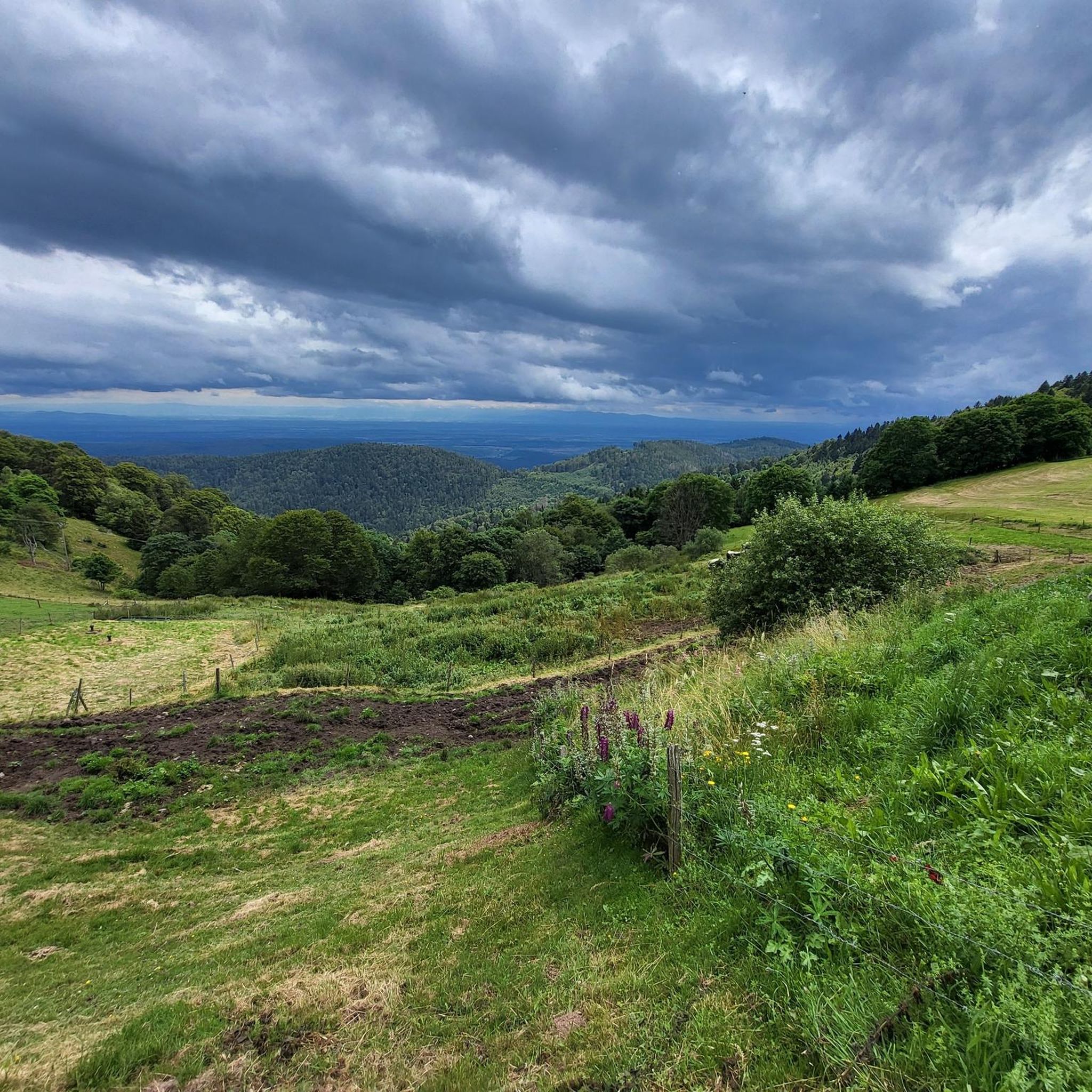
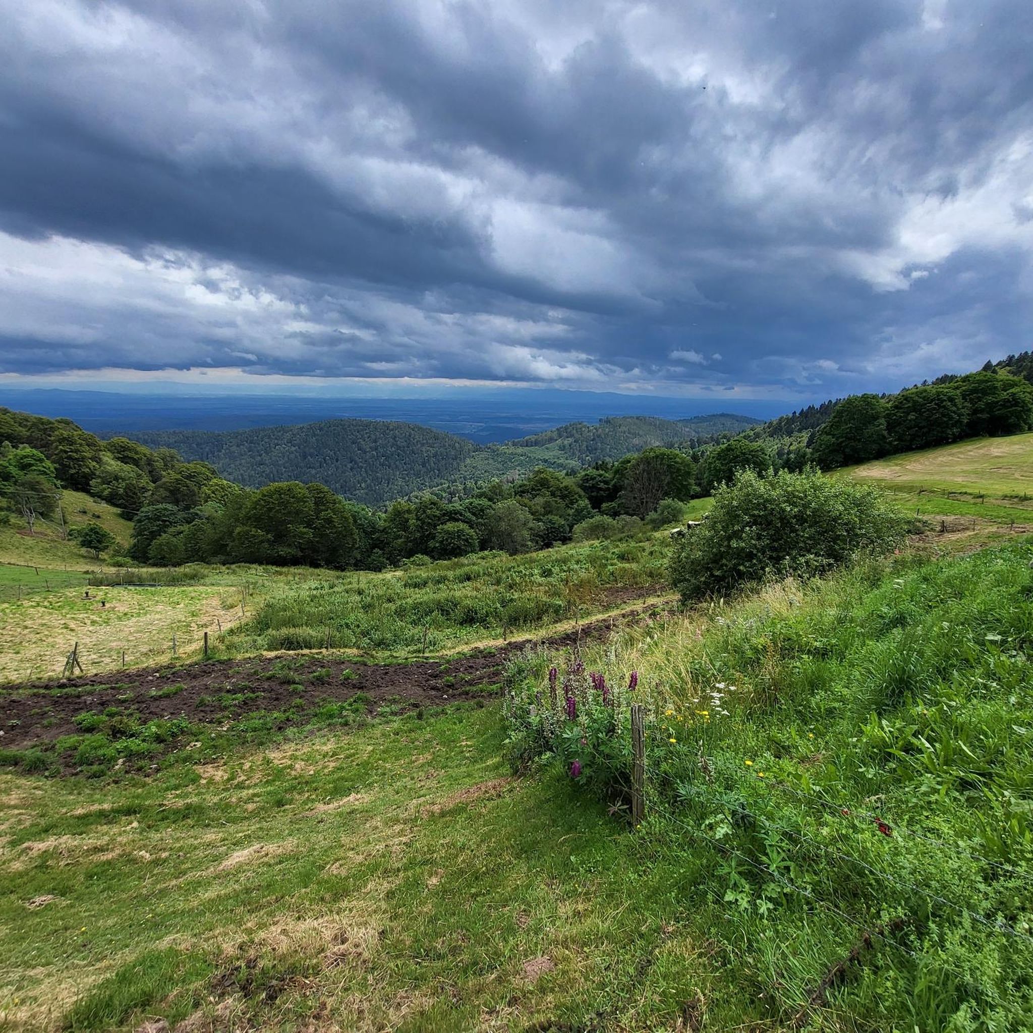
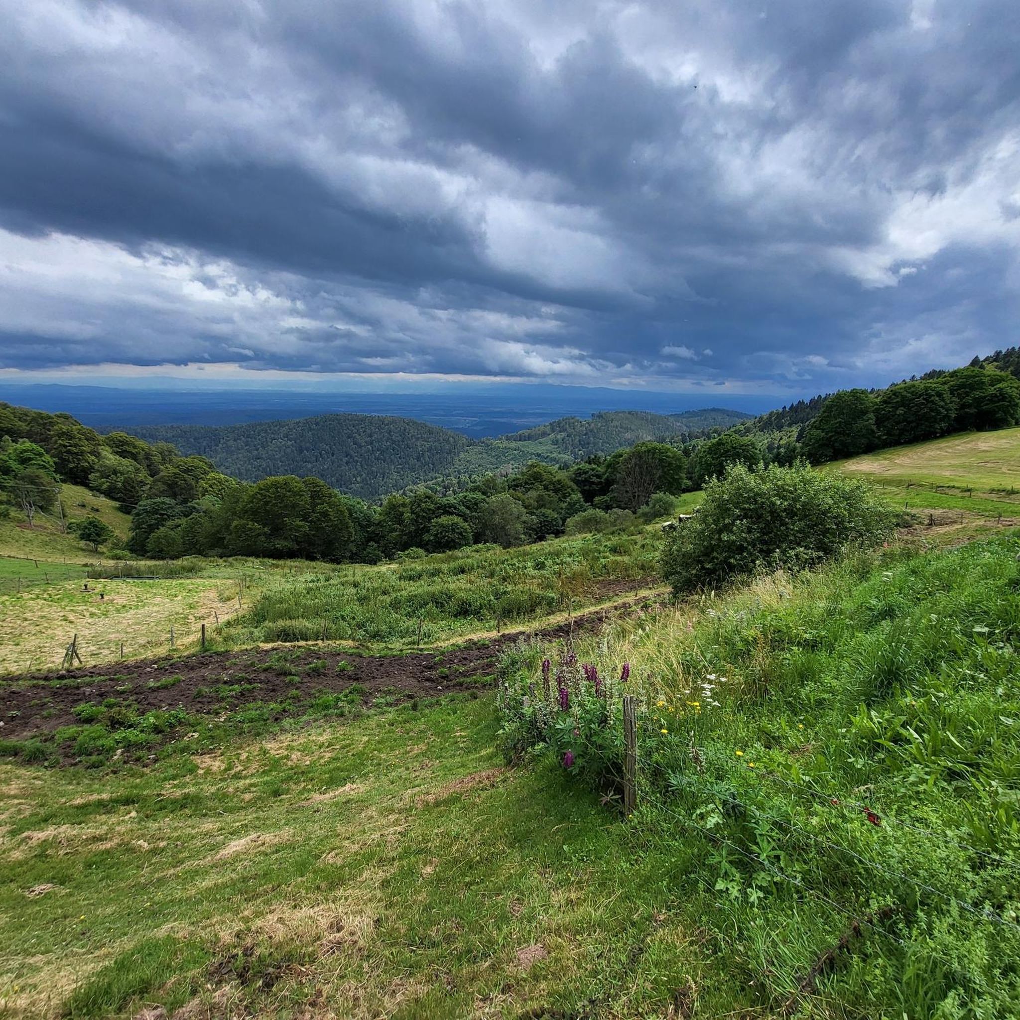
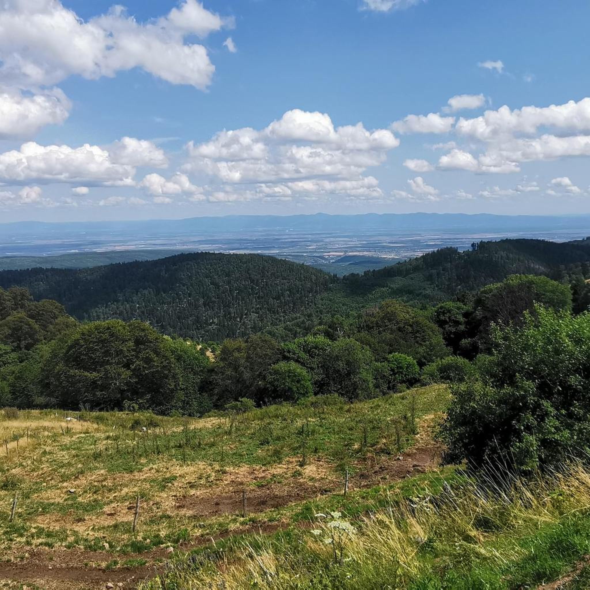

Tips from the Community


The Schaeferthalpass (French: Col du Schaeferthal) is an important mountain pass located at an altitude of 1,224 to 1,228 meters in the High Vosges. It connects the ice-age Frankenthal Valley with the glacial cirque of the Schiessrothried lake and forms a central hub for challenging circular hikes.
0
0
The Réserve Naturelle Nationale de Frankenthal-Missheimle is one of the most spectacular and ecologically valuable nature reserves in the High Vosges. It extends along the Alsatian eastern side of the Vosges ridge between the Hohneck and the Col de la Schlucht. The area is characterized by steep glacial valleys (cirques), vertical rock faces, high moors, and alpine plateaus. Landscape highlights in the reserve: The Frankenthal Valley: A kettle-shaped, deeply incised glacial valley. Here lies the Ferme Auberge of the same name amidst lush meadows. The Martinswand: An imposing, almost vertical rock face directly above the valley. It is an extremely popular climbing area and a breeding ground for rare birds. The Hirschsteine (Rochers des Hirschsteine): A striking rock formation that can be ascended via an adventurous path secured with ladders and steps (the Sentier des Hirschsteine). The Missheimle Moor: A sensitive high moor below the rocks of the Petit Wurzelstein. Flora and fauna Due to the harsh microclimate, glacial relics and alpine species have been preserved here: Animals: The reserve is famous for its chamois, which can be observed particularly in the mornings on the steep slopes of the Wormspel. The extremely rare and protected capercaillie (Grand Tétras) and peregrine falcons also live here. Plants: Botanical specialities such as arnica, yellow gentian, and the Vosges alpine knotweed characterize the vegetation.
0
0

via gravel road approx. 700m east of the Col du Petit Ballon. From the pass summit itself, the view is (somewhat) limited. On the descent there are wonderful views small parking possibility, surrounded by forest and meadow
0
0

It always amazes me to see how long remnants of wars remain in the landscape. This was one of many other signs of WWI.
0
0
It is easier than it looks but with the heat everything was more difficult.
0
0
This refuge was heaven sent. By this moment, my water reserves were comletely depleted. The refuge provided exactly that: refuge. The carer was super friendly and helpful, giving me water and again, suggesting places of where to camp.
1
0
Frequently Asked Questions
What kind of mountaineering routes can I expect around Wasserburg?
The mountaineering routes listed for the Wasserburg guide primarily feature challenging hikes in mountainous terrain, often with significant elevation gain. These routes are located in a region known for its diverse landscapes, including lakes, summits, and forests, offering a blend of moderate to difficult ascents. For example, the Lake Fischboedle – Hohneck loop from Mittlach is a difficult route with over 1000 meters of elevation gain.
Are there any easy mountaineering routes for beginners?
While the guide focuses on mountaineering, which typically implies more challenging terrain, there are routes suitable for those looking for a moderate challenge. For instance, the Col du Schaeferthal loop from Gaschney is a moderate 6.1 km path that offers a balanced experience through varied terrain.
What are some notable natural features or landmarks I might encounter on these routes?
The routes often pass by significant natural features and viewpoints. You might encounter beautiful lakes like Lake Schiessrothried or Lake Fischboedle. Summits such as Petit Ballon and the Panoramic view from the Grand Ballon summit offer expansive vistas. Some routes also pass by unique spots like Ferme Auberge du Frankenthal.
How long do the mountaineering routes typically take to complete?
The duration varies significantly based on the route's difficulty and length. Moderate routes like the Petit Ballon Pass (1,163 m) – Petit Ballon loop from Petit Ballon can take around 1 hour 20 minutes. More difficult and longer routes, such as the Lake Fischboedle – Hohneck loop from Mittlach, can require nearly 8 hours to complete.
Are there any circular mountaineering walks available?
Yes, many of the mountaineering routes are designed as loops, allowing you to start and end at the same point. Examples include the Col du Schaeferthal loop from Gaschney and the Petit Ballon – Col du Hilsenfirst loop from Linthal.
What is the general difficulty level of mountaineering in this area?
The routes in this guide range from moderate to difficult. There are 8 moderate routes and 4 difficult routes listed, indicating a good selection for those with some experience looking for a challenge, as well as options for more seasoned mountaineers.
What do other mountaineers say about these routes?
The routes in this guide are highly rated by the komoot community, with an average score of 4.7 stars from around 10 reviews. Users often praise the challenging terrain, expansive views, and the natural beauty of the lakes and summits encountered along the way.
Are there any routes that offer panoramic views?
Absolutely. Many routes are designed to showcase the stunning landscapes. The Panoramic view from the Grand Ballon summit is a highlight that can be incorporated into longer tours, offering breathtaking vistas of the surrounding mountains and valleys.
Can I find routes that pass by mountain refuges or places to rest?
Some routes may pass by mountain establishments. For example, the Ferme Auberge du Frankenthal is a highlight that could serve as a resting point or a destination on certain tours, offering a chance to experience local hospitality amidst the mountains.
How many mountaineering routes are covered in this guide?
This guide features 12 distinct mountaineering routes, offering a variety of options for different skill levels and preferences.
Most popular routes around Wasserburg
Most popular attractions around Wasserburg

Get inspired with the komoot mobile app


Explore more
Browse the best Mountain Hikes & Routes in other regions.
