The best gravel rides in Ernest E. Debs Regional Park
5.0
(2)
78
riders
15
rides
Gravel biking in Ernest E. Debs Regional Park offers access to a diverse landscape characterized by rolling hills and native woodlands. The park serves as a key access point to the paved Arroyo Seco Trail, providing a generally easy and family-friendly cycling route. Within the park, gravel biking can involve challenging routes with significant elevation gains across its 282 acres. The region provides panoramic views of the Los Angeles skyline and the San Gabriel Mountains from its 884-foot peak.
Best…
Last updated: October 1, 2026
5.0
(1)
7
riders
101km
08:41
2,700m
2,700m
Hard gravel ride. Very good fitness required. Mostly paved surfaces. Suitable for all skill levels.
11
riders
52.0km
04:00
1,120m
1,120m
Hard gravel ride. Very good fitness required. Mostly paved surfaces. Suitable for all skill levels.

4
riders
53.6km
04:51
1,460m
1,460m
Hard gravel ride. Very good fitness required. Mostly paved surfaces. Suitable for all skill levels.
12
riders
39.9km
03:55
1,230m
1,230m
Hard gravel ride. Very good fitness required. Mostly paved surfaces. Suitable for all skill levels.
4
riders
21.8km
02:02
700m
700m
Hard gravel ride. Very good fitness required. Mostly paved surfaces. Suitable for all skill levels.
Get access to more routes and recommendations from other explorers.
Already have an account?
Our route recommendations are based on thousands of hikes, rides, and runs completed by other people on komoot.
Start today with a free account
Your next adventure awaits.


Tips from the Community

Short tunnel on the eastern slope below San Gabriel Peak, part of the old Mt Lowe Motorway, that was never paved. The tunnel is very short, so you don't have to worry about bringing light. The road continues to the trailhead half a mile uphill.
0
0


A solid entry to the Verdugo Mountains with rewarding climbs and views, but watch the start—there are ruts and leftover metal pieces on the trail. Stay alert and pick your line carefully to avoid punctures or spills before the smoother sections begin.
1
0

This tunnel was blasted into existence in 1942 to form the old Mount Lowe Motorway.
0
0

Climb out of the Brookside Golf Club area and into the Pasadena suburban area. This climb has a nice shoulder and is lined with trees.
0
0
The Club House is a vibrant bike shop offering bike sales and service, apparel, gear, and cacti. What began with a red VW bus and online sales in 2017 transitioned to an old service station turned plant store. A small, fun-loving team runs the shop, sharing their love of cycling. Stop by for events like the annual Bike & Car Show, a lazy Sunday ride, the Wednesday night Basket Ride, or just to grab coffee at their mobile espresso bar.
1
0
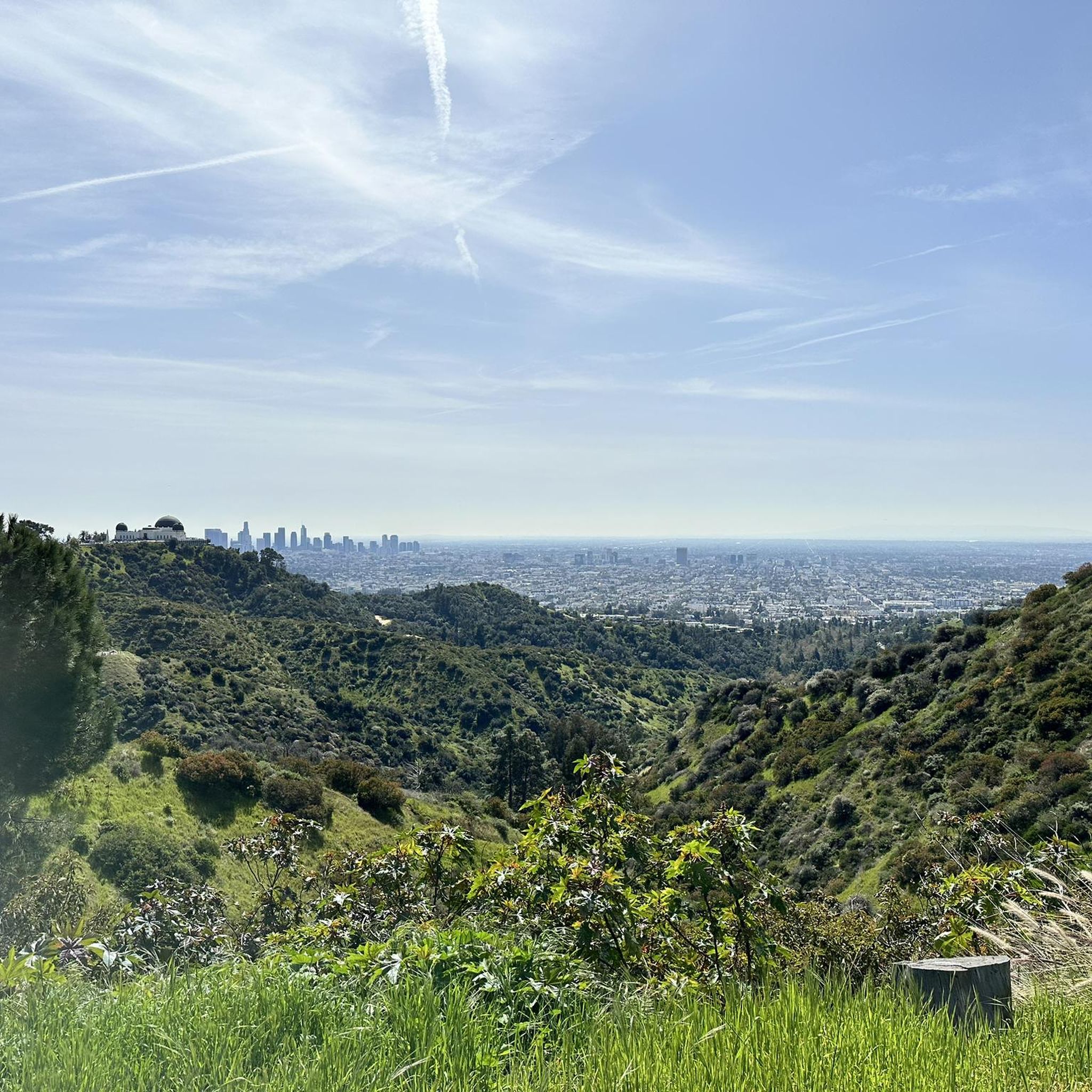
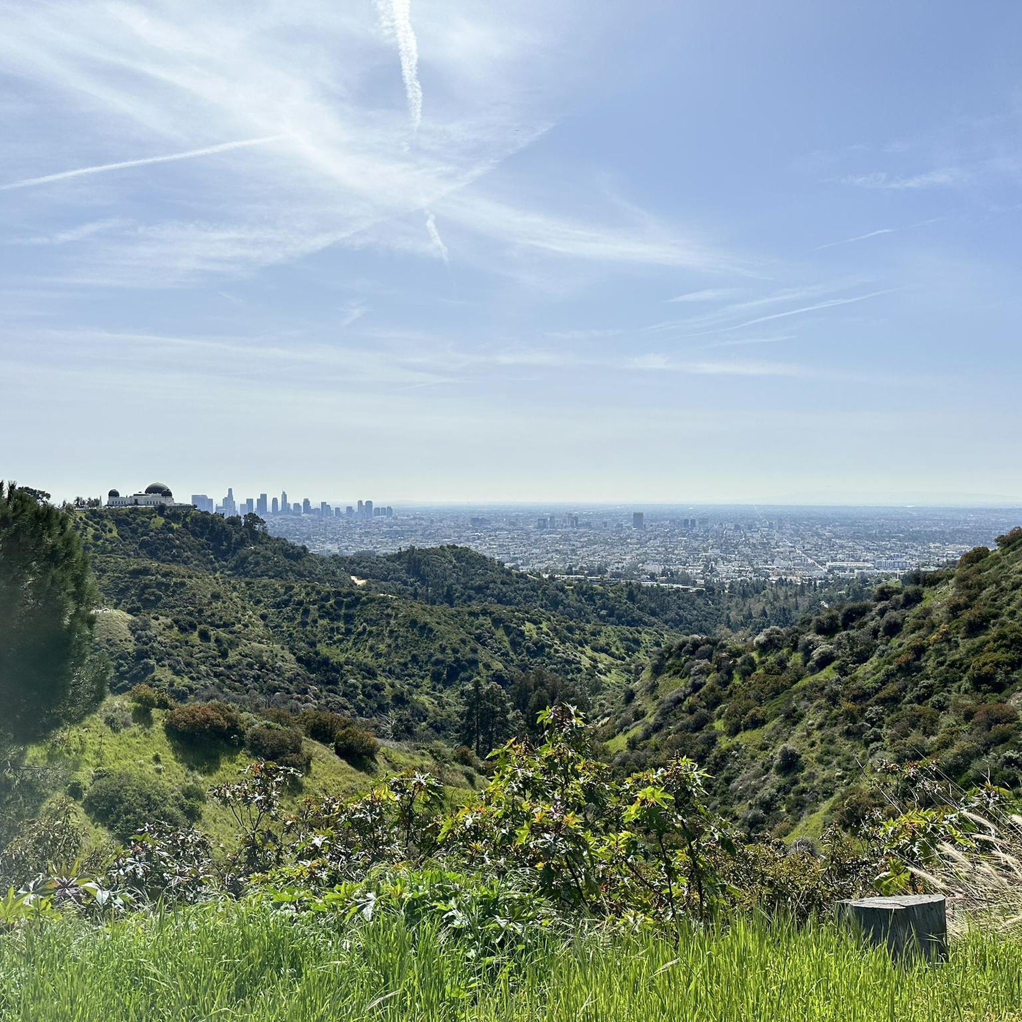
A quick pull-off from the Angeles Crest Highway gives way to Millard Falls Trailhead and LA Overlook, with great views of downtown and the forests in the gateway to Angeles National Forest.
0
0
Red Box Gap, located below Lawlor Peak, offers great views and an ideal spot for a break. A 3.5-mile trail from here leads to Strawberry Peak, which comes into view before reaching the saddle. Popular with hikers and bikers, Red Box has a trailhead parking area, the Haramokngna American Indian Cultural Center, and a natural stone viewpoint. The center typically opened on weekends and holidays from 10 a.m. to 6 p.m.
0
0
Frequently Asked Questions
What are the rules for gravel biking within Ernest E. Debs Regional Park itself?
Ernest E. Debs Regional Park has specific regulations regarding cycling. While the park offers extensive hiking trails, bikes are generally not allowed on pedestrian-only trails. Additionally, no bikes of any kind (motorized or non-motorized) are permitted within the Audubon lease area and adjacent interpretive natural habitats. Gravel cyclists should be aware that many unpaved, natural surface trails within the park might be restricted. However, the park does provide access to the paved Arroyo Seco Trail, which is suitable for gravel bikes.
How many gravel bike trails are available in the Ernest E. Debs Regional Park area?
Our guide features 14 gravel bike routes in the Ernest E. Debs Regional Park area. These routes primarily utilize the surrounding network of trails and roads, including sections of the paved Arroyo Seco Trail, offering diverse experiences for gravel cyclists.
What kind of terrain and difficulty can I expect on gravel bike trails near Ernest E. Debs Regional Park?
The gravel bike trails in the Ernest E. Debs Regional Park area are generally challenging, featuring significant elevation gains and varied landscapes. You'll encounter rolling hills and native woodlands, with routes often incorporating both paved sections, like the Arroyo Seco Trail, and more demanding unpaved segments outside the immediate park boundaries. For example, the Mount Wilson Summit Viewpoint – Arroyo Seco Bike Trail loop from South Pasadena involves nearly 2,000 meters of elevation gain.
Are there any family-friendly gravel biking options in or around Ernest E. Debs Regional Park?
While many routes in this guide are challenging, the paved Arroyo Seco Trail, which is accessible from Ernest E. Debs Regional Park, is a family-friendly cycling path. It offers an easy ride through the Arroyo Seco canyon with views of the LA skyline and historic bridges. For a route that incorporates this, consider the Pasadena Historic City Hall – Picnic area & Arroyo Seco loop from Fillmore, which is a good option for a longer family outing.
What are some notable landmarks or viewpoints I can see while gravel biking in the area?
The region offers stunning panoramic views of the Los Angeles skyline, the San Gabriel Mountains, and neighboring Mount Washington. An 884-foot peak within Ernest E. Debs Regional Park provides excellent vantage points. Routes like the Arroyo Seco Bike Trail – Verdugo Peak loop from South Pasadena offer views towards Verdugo Peak, while the Brookside Park – View of Eagle Rock loop from South Pasadena provides glimpses of Eagle Rock.
Is Ernest E. Debs Regional Park dog-friendly for gravel bikers?
Ernest E. Debs Regional Park is generally dog-friendly, with dogs permitted on leash on most hiking trails. However, given the restrictions on bikes on pedestrian-only trails within the park, and the explicit prohibition in the Audubon lease area, gravel biking with dogs directly within the park's unpaved sections might be limited. When utilizing the paved Arroyo Seco Trail or other public roads and trails outside the park, dogs on leash are typically welcome, but always check local regulations for specific areas.
What is the best time of year to go gravel biking near Ernest E. Debs Regional Park?
The Los Angeles area generally enjoys mild weather, making gravel biking enjoyable for much of the year. Spring and fall offer pleasant temperatures, ideal for longer rides. Summers can be hot, especially in the afternoon, so early morning rides are recommended. Winters are typically mild, though occasional rain can affect trail conditions. Always check the weather forecast before heading out.
Are there any loop trails suitable for gravel biking in the Ernest E. Debs Regional Park area?
Yes, many of the gravel bike routes in this guide are designed as loops, allowing you to start and end at the same point. For example, the popular LA River Bike Path – Baum Bicycle Bridge loop from Heritage Square is a substantial loop that incorporates sections of the LA River Bike Path, offering a comprehensive ride without retracing your steps.
Where can I find parking or access public transport to reach the gravel trails?
Ernest E. Debs Regional Park has parking facilities available. For public transport, various bus lines serve the vicinity of the park. To access the wider network of gravel trails, you might consider starting points like South Pasadena or Heritage Square, which also offer parking and public transport connections. Always check specific route starting points for the most convenient access options.
Are there cafes or accommodation options near Ernest E. Debs Regional Park?
Yes, being in Los Angeles, there are numerous cafes, restaurants, and accommodation options in the neighborhoods surrounding Ernest E. Debs Regional Park, such as Highland Park, South Pasadena, and Lincoln Heights. You'll find a variety of choices for pre-ride coffee, post-ride meals, or overnight stays within a short distance of the park and its accessible trails.
What kind of gear is recommended for gravel biking in this region?
Given the challenging terrain and significant elevation gains on many routes, a well-maintained gravel bike with appropriate gearing for climbing is essential. Tires with good grip are recommended for varied surfaces. Always carry plenty of water, especially on longer rides, as well as navigation tools, a repair kit, and sun protection. Helmets are, of course, mandatory.
Most popular routes in Ernest E. Debs Regional Park

Get inspired with the komoot mobile app


Explore more
Browse the best Gravel rides in other regions.
