The best road cycling routes in Ernest E. Debs Regional Park
4.5
(197)
5,392
riders
120
rides
Road cycling in Ernest E. Debs Regional Park offers diverse terrain within a 282-acre urban wilderness in the Montecito Hills of central-northeast Los Angeles. The park features rolling hills and native California walnut and oak woodlands, with an 884-foot peak providing panoramic views of the Los Angeles skyline and San Gabriel Mountains. It includes a mix of paved fore roads and cycling trails, connecting to the Arroyo Seco Trail, known for its smooth asphalt surfaces. While many routes are paved,…
Last updated: October 9, 2026
53
riders
85.9km
04:16
1,220m
1,220m
Hard road ride. Very good fitness required. Mostly well-paved surfaces and easy to ride.
6
riders
28.1km
01:27
420m
420m
Moderate road ride. Good fitness required. Mostly well-paved surfaces and easy to ride.

4.9
(18)
333
riders
52.4km
02:53
840m
840m
Moderate road ride. Good fitness required. Mostly well-paved surfaces and easy to ride.
5.0
(2)
221
riders
79.7km
04:37
1,750m
1,750m
Hard road ride. Very good fitness required. Some segments of this route may be unpaved and difficult to ride.
57
riders
61.2km
03:17
940m
940m
Hard road ride. Very good fitness required. Mostly well-paved surfaces and easy to ride.
Get access to more routes and recommendations from other explorers.
Already have an account?
Our route recommendations are based on thousands of hikes, rides, and runs completed by other people on komoot.
Start today with a free account
Your next adventure awaits.


Tips from the Community


This trail currently runs about 38 miles in several disconnected segments; there are plans to eventually unify it in a continuous, 50-mile swath. There are stretches of dirt mixed in with the paved trail, so you're best off with a touring bike instead of a road bike.
0
0

Climb out of the Brookside Golf Club area and into the Pasadena suburban area. This climb has a nice shoulder and is lined with trees.
0
0

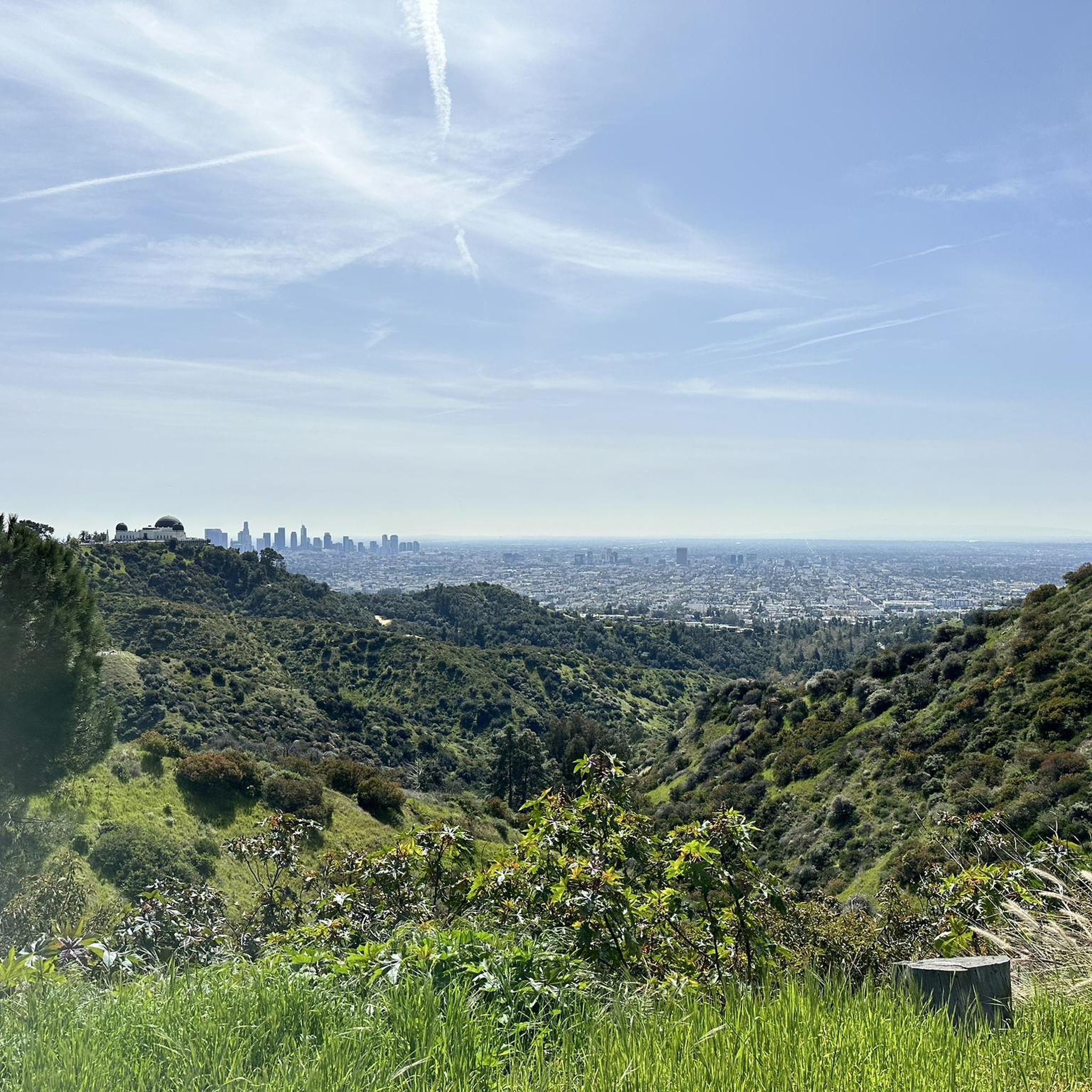
Griffith's iconic Observatory is southern California's gateway to the cosmos. This hugely popular venue is the most visited observatory in the world. Since opening in 1935, the Observatory has welcomed over 85 million visitors. It is also 1,134 feet above sea level and is visible from most parts of the city it also has some of the best views of downtown Los Angeles and in particular the world-famous Hollywood Sign.
1
0
Brookside Park is Pasadena's largest fully maintained park at 61.1 acres. It sits south of Rose Bowl Stadium with tons of parking off Arroyo Boulevard. The park features a lighted baseball diamond, two softball diamonds, and a large, lighted, multi-purpose field for soccer and flag football. There is also a speaker's platform with permanent seating, numerous picnic tables, barbecue pits, a play area, restrooms, and drinking fountains.
0
0
A quick pull-off from the Angeles Crest Highway gives way to Millard Falls Trailhead and LA Overlook, with great views of downtown and the forests in the gateway to Angeles National Forest.
0
0
Red Box Gap, located below Lawlor Peak, offers great views and an ideal spot for a break. A 3.5-mile trail from here leads to Strawberry Peak, which comes into view before reaching the saddle. Popular with hikers and bikers, Red Box has a trailhead parking area, the Haramokngna American Indian Cultural Center, and a natural stone viewpoint. The center typically opened on weekends and holidays from 10 a.m. to 6 p.m.
0
0

Named after the famous playwright due to its gothic design, this bridge was named as a Los Angeles Historic-Cultural Monument in 1974.
0
0
Frequently Asked Questions
How many road cycling routes are available in Ernest E. Debs Regional Park?
Ernest E. Debs Regional Park offers over 110 road cycling routes. These routes cater to various skill levels, with approximately 40 easy, nearly 60 moderate, and about 10 difficult options.
What kind of terrain can I expect when road cycling in Ernest E. Debs Regional Park?
The park features diverse terrain, primarily consisting of paved fore roads and dedicated cycling trails. While many routes are mostly paved, some segments within Debs Park itself can be unpaved and more challenging. The adjacent Arroyo Seco Trail, accessible from the park, is known for its smooth asphalt.
Are there any family-friendly road cycling routes in the park?
Yes, the park offers several family-friendly options, particularly those with mostly paved surfaces. The Arroyo Seco Trail, which connects to the park, is generally considered easy and suitable for families due to its smooth asphalt. Many of the 40 easy routes within the park are also great for families.
What are some notable landmarks or viewpoints along the road cycling routes?
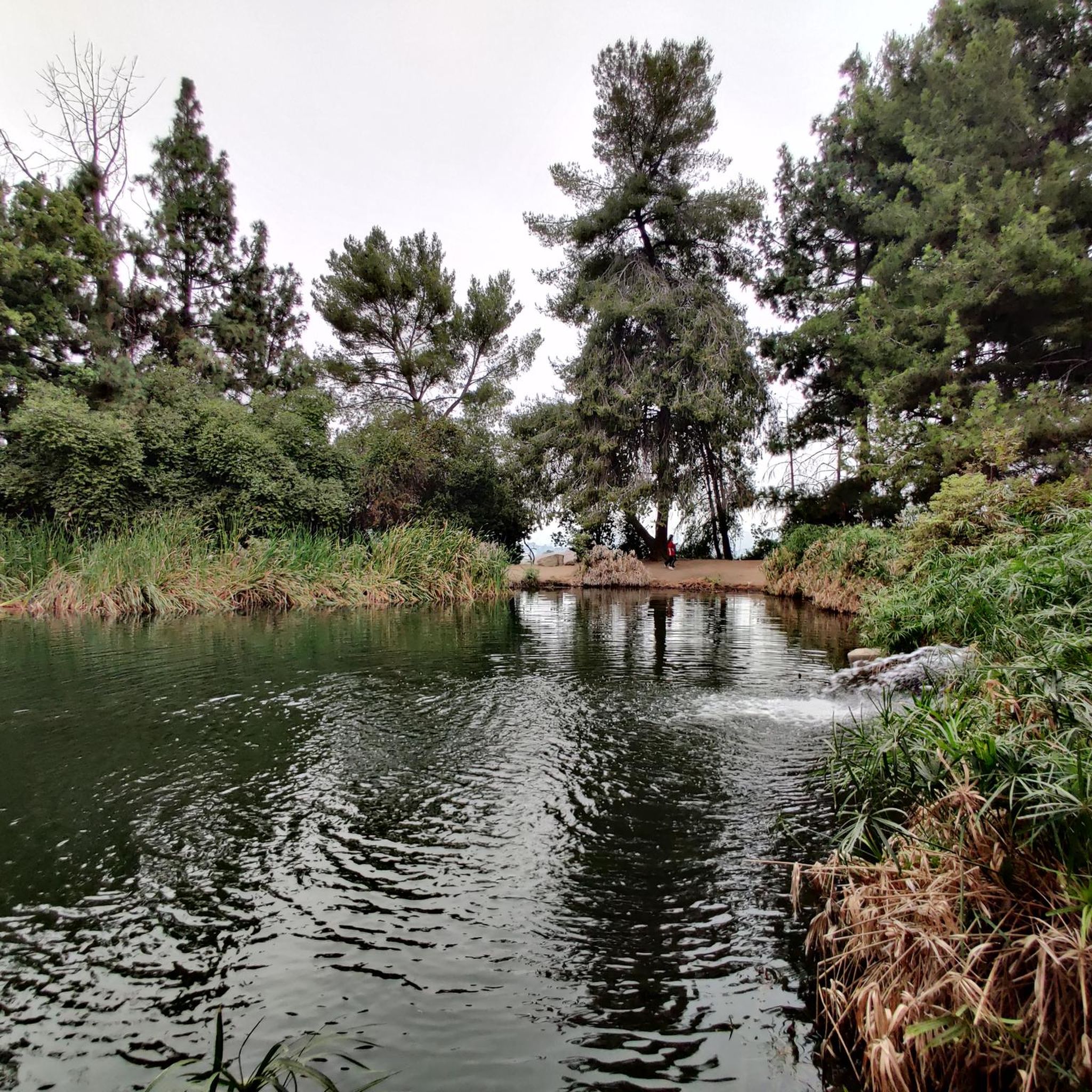
Cyclists can enjoy stunning 180-degree panoramic views from the park's 884-foot peak, overlooking Northeast Los Angeles, Downtown LA, and the San Gabriel Mountains. Other notable features include the picturesque Debs Pond and the Audubon Center at Debs Park, which is a haven for birdlife. Some routes, like the Patrician Way Switchbacks – View of Eagle Rock loop from Southwest Museum, specifically highlight views towards Eagle Rock.
Are there any advanced or challenging road cycling routes in Ernest E. Debs Regional Park?
Yes, there are about 10 difficult road cycling routes for experienced cyclists. One such challenging route is the Baum Bicycle Bridge – Muholland Drive loop from Southwest Museum, which is 54.2 miles long and includes significant elevation gain. Another difficult option is the Mount Hollywood Drive – Griffith Observatory loop from Highland Park, offering a substantial climb.
Can I find circular road cycling routes in the park?
Yes, many of the routes in Ernest E. Debs Regional Park are designed as loops, allowing you to start and end at the same point. Examples include the Baum Bicycle Bridge – Muholland Drive loop from Southwest Museum and the Brookside Park – Brookside Park loop from Highland Park.
What do other road cyclists enjoy most about cycling in Ernest E. Debs Regional Park?
The area is highly rated by the komoot community, with an average score of 4.7 stars from over 180 reviews. Cyclists often praise the park's diverse terrain, the mix of paved pathways, and the panoramic vistas from its elevated points. The connection to the smooth Arroyo Seco Trail is also a popular feature.
Is Ernest E. Debs Regional Park accessible by public transport for cyclists?
Yes, Ernest E. Debs Regional Park is located in the Arroyo Seco neighborhood near downtown Los Angeles, making it accessible via public transport. Specific bus routes serve the area, providing options for reaching the park without a car.
Are there parking facilities available for road cyclists at Ernest E. Debs Regional Park?
Yes, parking is available at Ernest E. Debs Regional Park. There are designated parking areas within the park, providing convenient access for cyclists bringing their bikes by car.
Are dogs allowed on the bike trails in Ernest E. Debs Regional Park?
Ernest E. Debs Regional Park is generally dog-friendly, with many trails allowing leashed dogs. However, it's always recommended to check specific trail regulations within the park, as some multi-use trails may have restrictions, and certain pedestrian-only paths may not permit bicycles or dogs.
What is the best time of year to go road cycling in Ernest E. Debs Regional Park?
Given its Southern California location, Ernest E. Debs Regional Park is suitable for road cycling year-round. Spring and fall offer pleasant temperatures, while winter provides cooler weather ideal for longer rides. Summer can be warm, so early morning or late afternoon rides are often preferred during this season.
Are there any cafes or amenities near the road cycling routes?
As an urban oasis near downtown Los Angeles, the park is surrounded by various neighborhoods. While the park itself has picnic tables and barbecue pits, you can find cafes and other amenities in the nearby communities of Highland Park, Lincoln Heights, and other surrounding areas for pre- or post-ride refreshments.
Most popular routes in Ernest E. Debs Regional Park

Get inspired with the komoot mobile app


Explore more
Browse the best Road cycling routes in other regions.
