El Corte De Madera Creek Open Space Preserve (Closed Area)
El Corte De Madera Creek Open Space Preserve (Closed Area)
The best gravel rides in El Corte De Madera Creek Open Space Preserve (Closed Area)
4.8
(3)
30
riders
4
rides
Gravel biking in El Corte De Madera Creek Open Space Preserve (Closed Area) offers a network of trails through nearly 3,000 acres of varied terrain. The preserve is characterized by dense second-growth redwood and mixed evergreen forests, deep canyons, and tanoak woods. Riders encounter varied surfaces, from smoother paths to rocky sections, with significant elevation changes and sandstone outcroppings. This landscape provides a challenging and engaging experience for gravel cyclists.
Best gravel bike trails in El Corte De Madera Creek Open Space Preserve (Closed Area)
- The most popular gravel bike trail is Skeggs Point loop from Skeggs Point, a 7.4 miles (11.9 km) trail that takes 1 hour 20 minutes to complete. This moderate route traverses through forested sections with notable elevation gains.
- Another top favourite among local gravel bikers is Pulgas Water Temple – Water Dog Lake loop from Huddart County Park, a difficult 21.8 miles (35.0 km) path. This route features significant climbs and descents through rugged, heavily forested terrain.
- Local gravel bikers also love the Kings Mountain Road – Crystal Springs Reservoir dam loop from Cañada College, a 29.1 miles (46.8 km) trail leading through forested mountains and past a reservoir, often completed in about 3 hours 37 minutes.
- Gravel biking in El Corte De Madera Creek Open Space Preserve (Closed Area) is defined by dense redwood forests, varied trail surfaces, and sandstone outcroppings. The network offers options for different ability levels, from moderate paths to challenging climbs.
- The routes in El Corte De Madera Creek Open Space Preserve (Closed Area) are highly rated by the komoot community with an average score of 4.5 stars from 2 reviews. More than 19 gravel bikers have used komoot to explore El Corte De Madera Creek Open Space Preserve (Closed Area)'s varied terrain.
Last updated: July 11, 2026
2
riders
11.9km
01:20
420m
420m
Moderate gravel ride. Good fitness required. Mostly paved surfaces. Suitable for all skill levels.
5
riders
Hard gravel ride. Very good fitness required. Mostly paved surfaces. Suitable for all skill levels.

Sign up for free
3
riders
42.4km
03:35
1,140m
1,140m
Hard gravel ride. Very good fitness required. Mostly paved surfaces. Suitable for all skill levels.
5.0
(1)
7
riders
35.0km
02:12
460m
460m
Hard gravel ride. Very good fitness required. Mostly paved surfaces. Suitable for all skill levels.
3
riders
46.7km
03:38
1,210m
1,210m
Hard gravel ride. Very good fitness required. Mostly paved surfaces. Suitable for all skill levels.
Our route recommendations are based on thousands of hikes, rides, and runs completed by other people on komoot.
Start today with a free account
Your next adventure awaits.
Login or Signup
Popular around El Corte De Madera Creek Open Space Preserve (Closed Area)
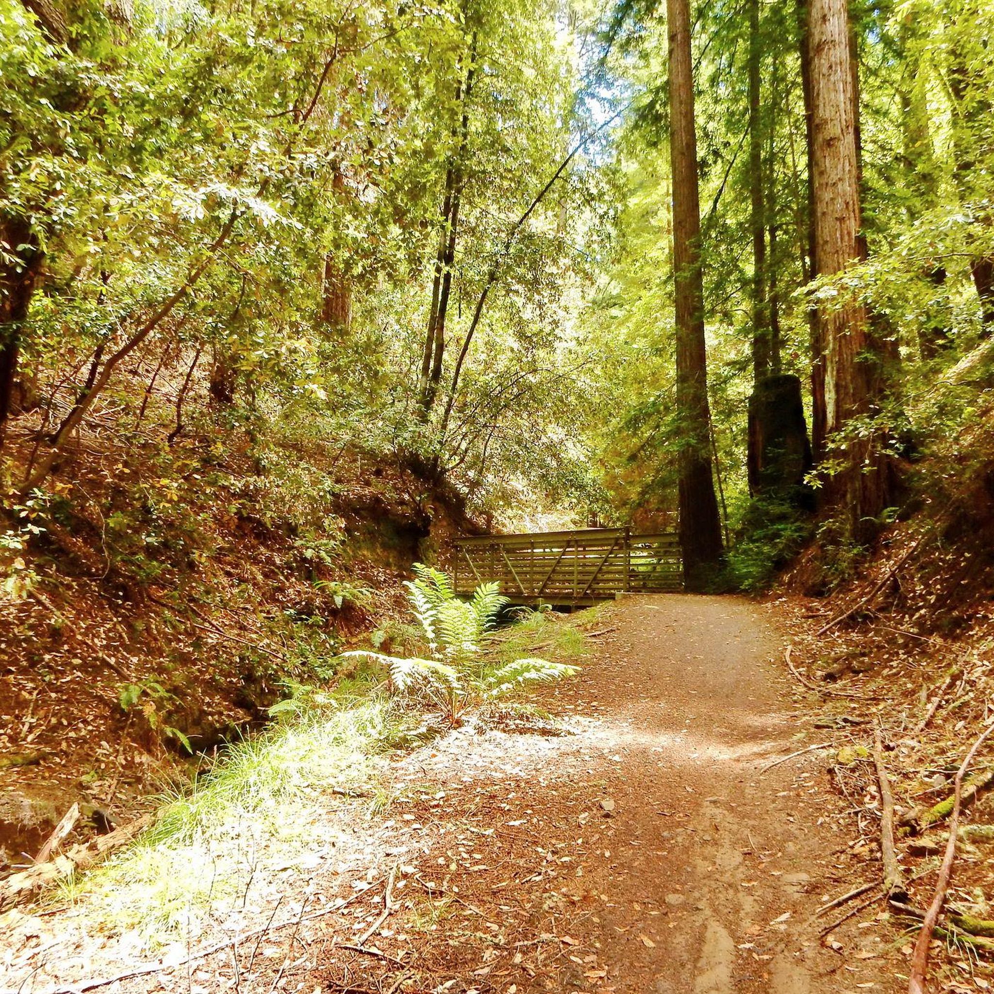
Hiking in El Corte De Madera Creek Open Space Preserve (Closed Area)
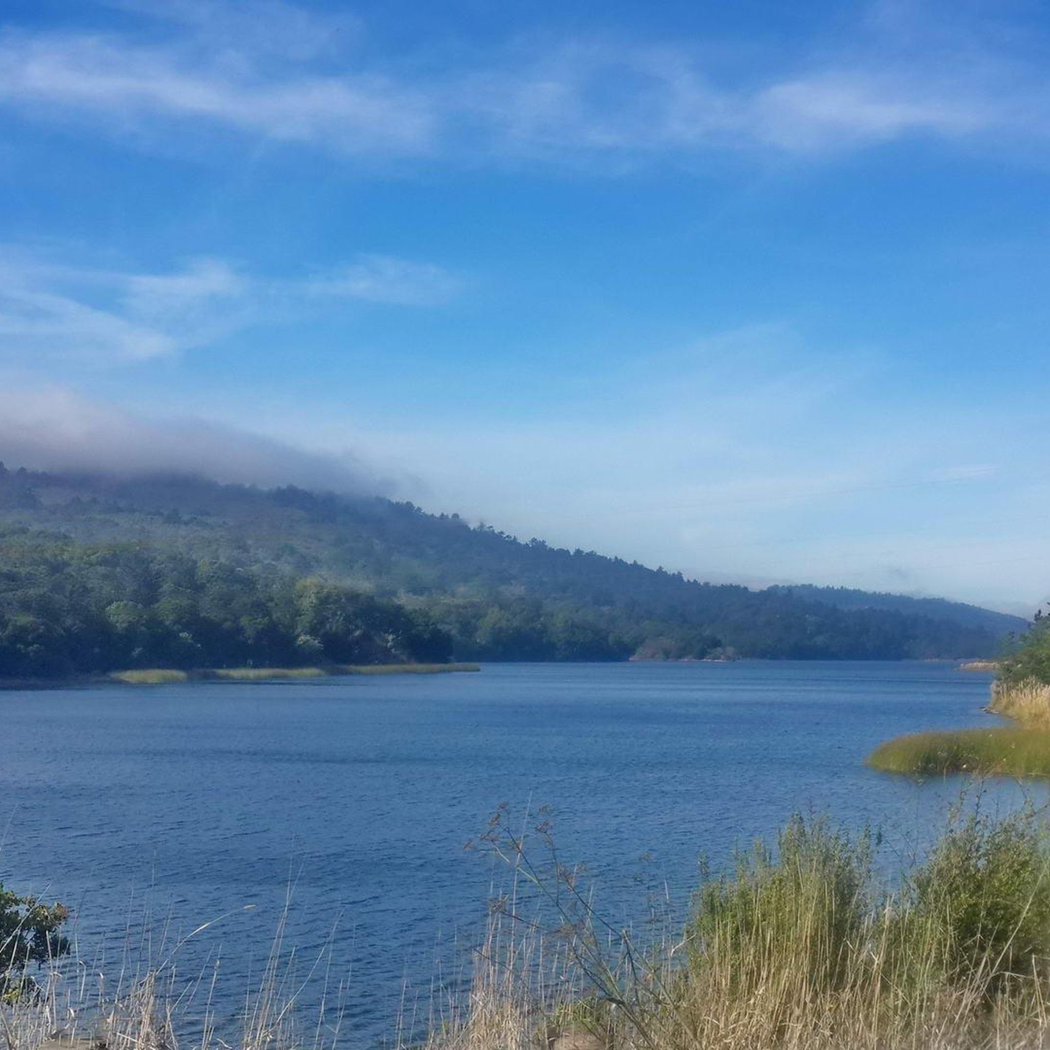
MTB Trails in El Corte De Madera Creek Open Space Preserve (Closed Area)
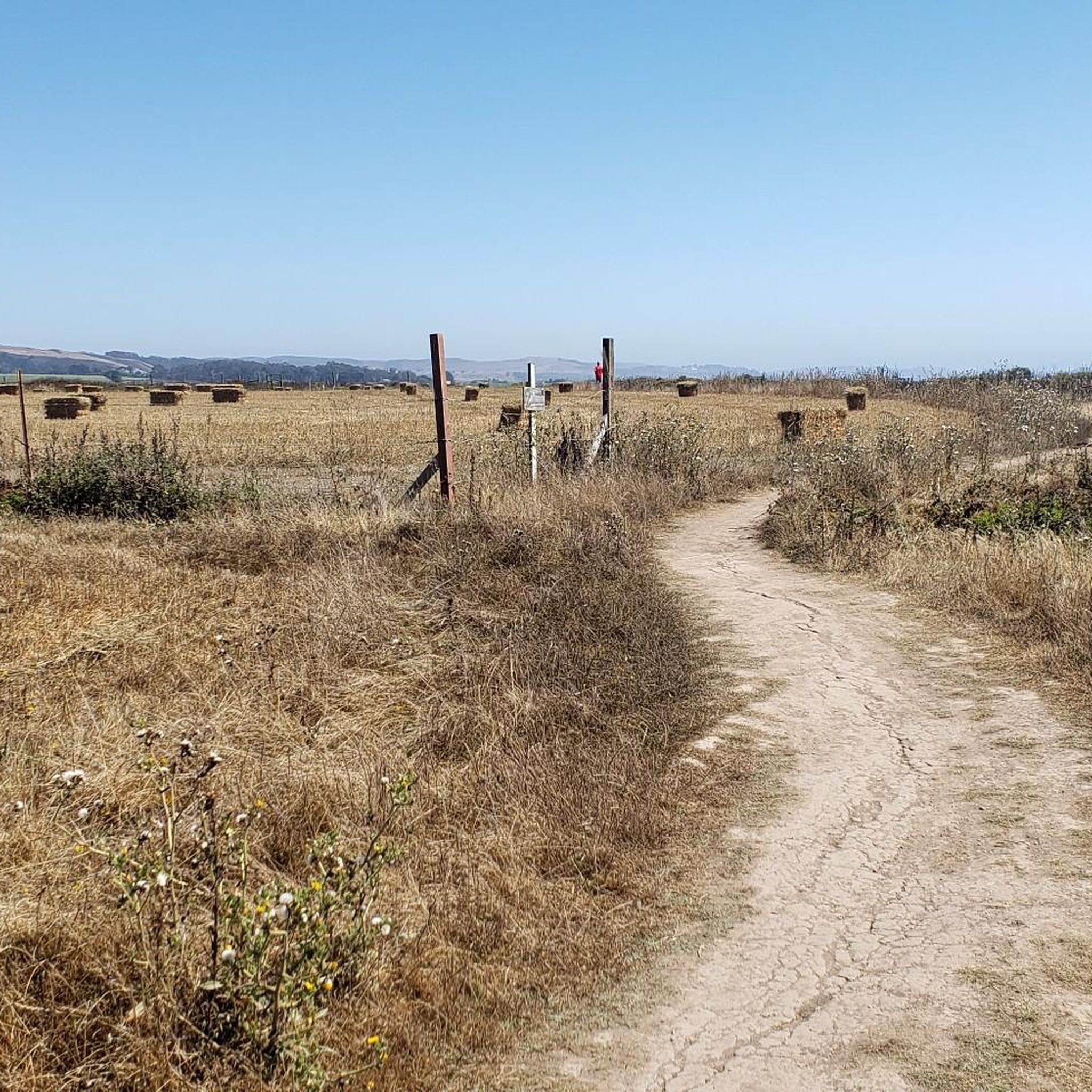
Running Trails in El Corte De Madera Creek Open Space Preserve (Closed Area)
Cycling in El Corte De Madera Creek Open Space Preserve (Closed Area)
Road Cycling Routes in El Corte De Madera Creek Open Space Preserve (Closed Area)
Tips from the Community

A fun, pretty place to stop while riding Cañada road. I has water and an air pump and bathrooms. Take a photo with friends.
0
0

You're not hallucinating: This monument was deliberately built in the style of ancient Greek and Roman architecture, to commemorate the Great Depression-era Hetchy Hetchy Project that brought water down from the mountains to the Bay Area. The frieze says, “I give waters in the wilderness and rivers in the desert, to give drink to my people.”
1
0

Woodside Store was built back in the 1850s by two pioneers who came to California for the gold rush. At the time it was the only stagecoach stop between San Francisco and Santa Clara, and it carried all the essential items that travelers riding between cities might need. The store has been restored, inside and out, to look exactly as it did centuries ago. You can call the museum ahead of your trip to book tours.
0
0
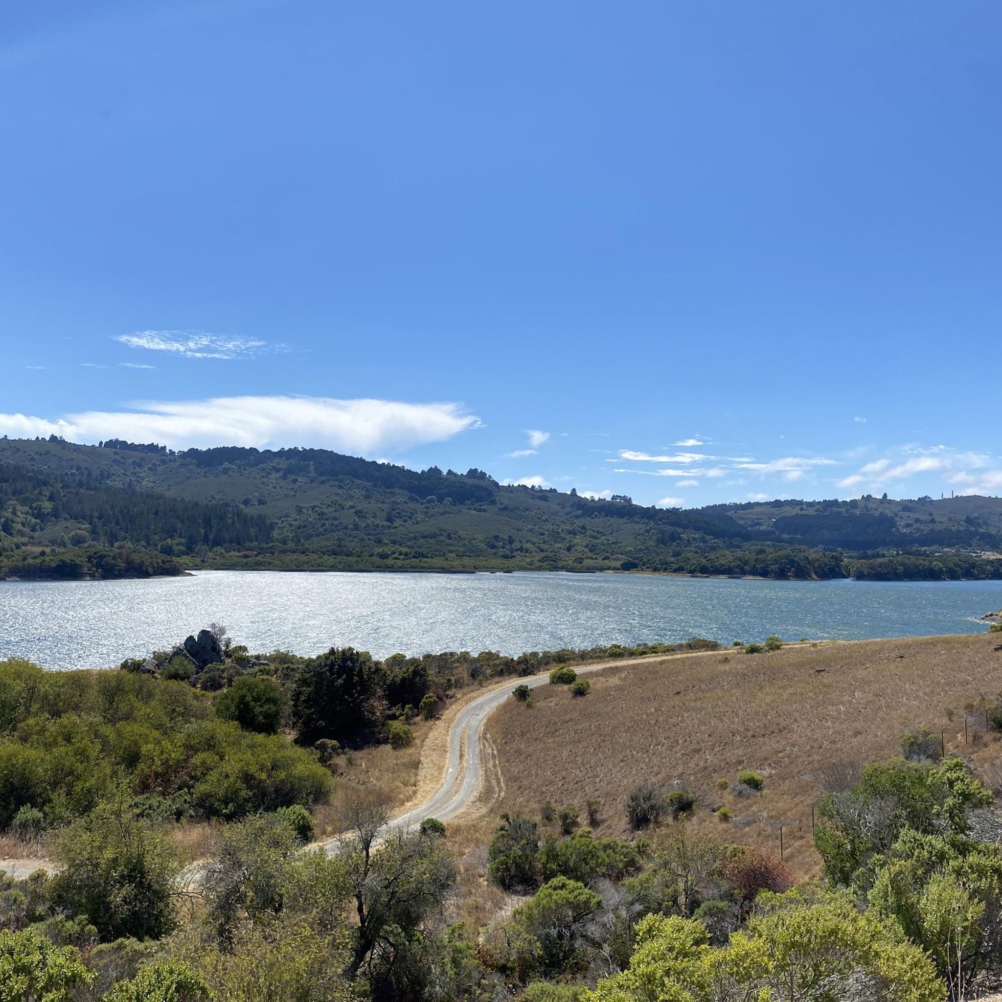
This lake is actually an obstructed stream, once dammed up to provide water to nearby Belmont. Now it's a fantastic recreation site, with several loops of trails that are good for hiking, running and biking.
0
0

Purisima Creek Trailhead features a fence separating the trail from the road and a small pit toilet at the base. Parking is available just 250 feet southeast along Skyline Boulevard. This trail offers everything, from stunning views to towering redwoods, fern-filled canyons, and creeks. Riding through the redwoods is a unique experience.
0
0
Skyline Boulevard, also known as State Route 35, offers a scenic drive through the majestic redwoods of the Santa Cruz Mountains and Bay Area. Winding through forests, open spaces, and mountains, this section passes by the Purisima Creek Redwoods. It's a breathtaking ride through where the redwoods meet the road.
0
0

The Woodside Store, also known as Tripp Store, is located at 3300 Tripp Road at Kings Mountain Road in Woodside, San Mateo County, California. It has been listed on the National Register of Historic Places since 1985 and was designated a California Historical Landmark in 1949. The store's history dates back to October 1849 when Matthias Alfred Parkhurst purchased land in the area and began a shingle-making and lumber business with his partners, including Robert Orville Tripp. The store was established in 1853, originally serving the needs of lumbermen and settlers during the Gold Rush era. Dr. Tripp became the sole operator of the store after Parkhurst's death in 1863, running it until his own death in 1909. He was a well-known figure in Woodside, holding various public offices. The San Mateo County Historical Association acquired the store in the 1940s, and it was restored to its 1880s condition by 1994.
0
0

Skegg's Point, right off of Skyline Boulevard, has panoramic views of the surrounding peaks.
0
0
Frequently Asked Questions
What kind of terrain can I expect on the gravel bike trails in El Corte De Madera Creek Open Space Preserve?
The preserve offers a diverse range of terrain, from smoother paths to rocky and rutted sections. You'll ride through dense second-growth redwood and mixed evergreen forests, deep canyons, and tanoak woods. Expect significant elevation changes, with some trails featuring singletrack winding through the trees. The landscape also includes unique sandstone outcroppings and historical logging features.
Are there any easy gravel bike trails suitable for beginners?
Yes, there are options for various skill levels. For a moderate experience, consider the Skeggs Point – Blue Blossom Trail loop from Skeggs Point. This 14.0 km route takes about 1 hour 43 minutes and traverses forested sections with notable elevation gains, offering a good introduction to the preserve's gravel biking.
What are some challenging gravel bike routes for experienced riders?
Experienced riders looking for a challenge can tackle routes with significant climbs and descents. The Pulgas Water Temple – Water Dog Lake loop from Huddart County Park is a difficult 35.0 km path that features rugged, heavily forested terrain. Another demanding option is the Kings Mountain Road – Crystal Springs Reservoir dam loop from Cañada College, which is 46.8 km long with over 1200 meters of elevation gain.
Are there any loop gravel bike trails in the preserve?
Yes, many of the gravel bike trails in El Corte De Madera Creek Open Space Preserve are designed as loops. For example, the Skegg's Point – Skeggs Point loop from Skeggs Point is a moderate 11.9 km route that allows you to start and end at the same point. The Miramar Beach – Wavecrest Open Space Preserve loop from Cowell Ranch Beach Trailhead also offers a loop experience, covering 22.5 km through coastal and open space landscapes.
What natural features or landmarks can I see along the trails?
The preserve is rich in natural beauty and unique geological formations. You'll be immersed in dense redwood and mixed evergreen forests. Keep an eye out for rare Tafoni rock formations, which are sandstone features with cave-like indentations. You might also spot sandstone outcroppings and evidence of the area's logging history, including old-growth stumps. From certain vantage points, you can even catch occasional ocean views.
What is the best time of year to go gravel biking in El Corte De Madera Creek Open Space Preserve?
The dense redwood and mixed evergreen forests provide ample shade, making it pleasant for activities even during warmer months. However, for the most comfortable riding conditions, spring and fall are often ideal, offering mild temperatures and generally drier trails. During winter, trails can be wet and muddy due to rainfall, so be prepared for varied conditions.
Is parking available at the trailheads?
Yes, parking is generally available at various access points to the preserve. For instance, routes like the Skeggs Point – Blue Blossom Trail loop start from Skeggs Point, which typically has parking facilities. It's always a good idea to check specific trailhead information before your visit for the most up-to-date parking details.
Are there any permits required for gravel biking in the Closed Area?
While the preserve is generally open for public use, it's always recommended to check the official Midpeninsula Regional Open Space District website for the latest regulations regarding permits or any specific restrictions for activities within the 'Closed Area' designation, as rules can change.
What do other gravel bikers enjoy most about the preserve?
The area is highly rated by the komoot community, with an average score of 4.5 stars. Reviewers often praise the challenging and engaging experience offered by the varied terrain, the immersion in dense redwood forests, and the sense of remoteness despite being in San Mateo County. The diverse network of trails caters to different ability levels, making it a popular choice for many.
Are the gravel bike trails in El Corte De Madera Creek Open Space Preserve family-friendly?
While the preserve offers diverse trails, many routes feature significant elevation changes and varied surfaces, including rocky sections and singletrack. Some trails are quite challenging. For families with younger or less experienced riders, it's best to carefully review the difficulty ratings and elevation profiles of specific routes. There are easier paths, but the overall terrain can be demanding.
Can I bring my dog on the gravel bike trails?
Policies regarding dogs in open space preserves can vary. It's crucial to consult the official Midpeninsula Regional Open Space District website or signage at the preserve entrance for the most current information on dog policies, including whether dogs are permitted on trails, if they need to be on a leash, and any restricted areas.
Most popular routes in El Corte De Madera Creek Open Space Preserve (Closed Area)

Get inspired with the komoot mobile app


Explore more
Browse the best Gravel rides in other regions.
