La Honda Creek Open Space Preserve (Permit Area)
La Honda Creek Open Space Preserve (Permit Area)
The best gravel rides in La Honda Creek Open Space Preserve (Permit Area)
5.0
(1)
48
riders
9
rides
Gravel biking in La Honda Creek Open Space Preserve (Permit Area) offers a diverse landscape characterized by redwood forests, oak woodlands, and expansive coastal grasslands. The preserve features a connected trail system with varied terrain, including multi-use trails and former ranch roads. Riders can expect significant elevation changes, with some routes climbing approximately 1,200 feet (365 m). This environment provides a remote experience for gravel bikers seeking challenging rides through natural settings.
Best gravel bike trails in La Honda Creek…
Last updated: June 29, 2026
2
riders
11.9km
01:20
420m
420m
Moderate gravel ride. Good fitness required. Mostly paved surfaces. Suitable for all skill levels.
4
riders
48.2km
03:59
1,300m
1,300m
Hard gravel ride. Very good fitness required. Mostly paved surfaces. Suitable for all skill levels.

Sign up for free
2
riders
13.9km
01:13
440m
440m
Moderate gravel ride. Good fitness required. Mostly paved surfaces. Suitable for all skill levels.
3
riders
65.1km
04:51
1,560m
1,560m
Hard gravel ride. Very good fitness required. Mostly paved surfaces. Suitable for all skill levels.
5.0
(1)
7
riders
35.0km
02:12
460m
460m
Hard gravel ride. Very good fitness required. Mostly paved surfaces. Suitable for all skill levels.
Get access to more routes and recommendations from other explorers.
Sign up for free
Already have an account?
Our route recommendations are based on thousands of hikes, rides, and runs completed by other people on komoot.
Start today with a free account
Your next adventure awaits.
Login or Signup
Popular around La Honda Creek Open Space Preserve (Permit Area)
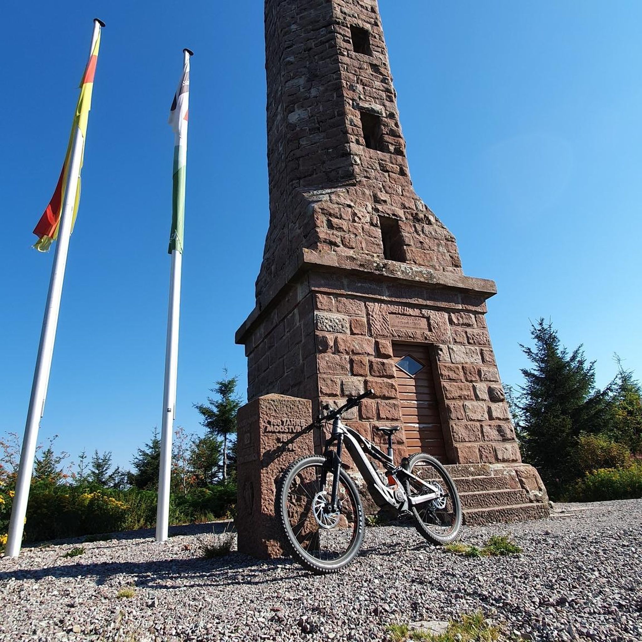
Hiking in La Honda Creek Open Space Preserve (Permit Area)

MTB Trails in La Honda Creek Open Space Preserve (Permit Area)
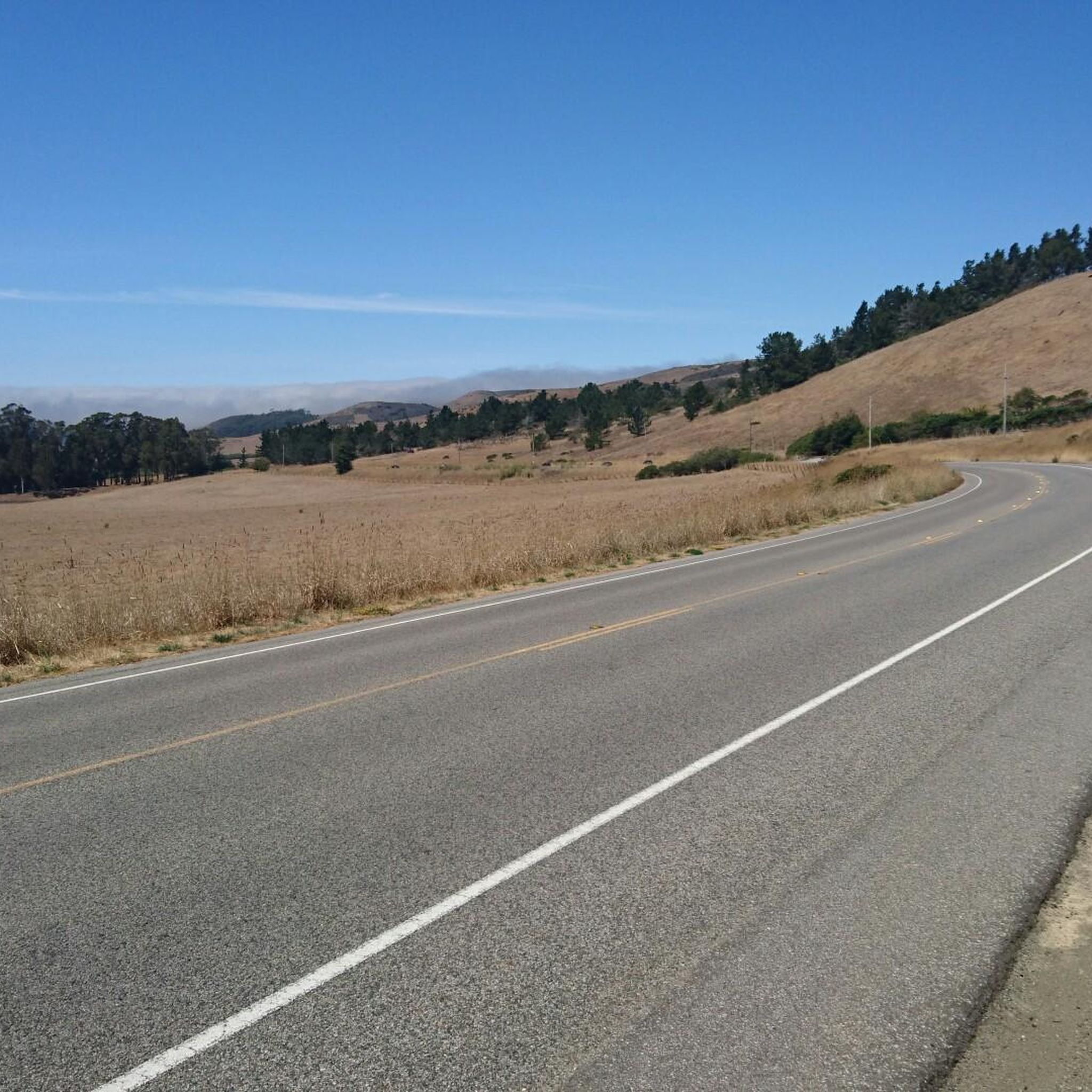
Road Cycling Routes in La Honda Creek Open Space Preserve (Permit Area)

Running Trails in La Honda Creek Open Space Preserve (Permit Area)
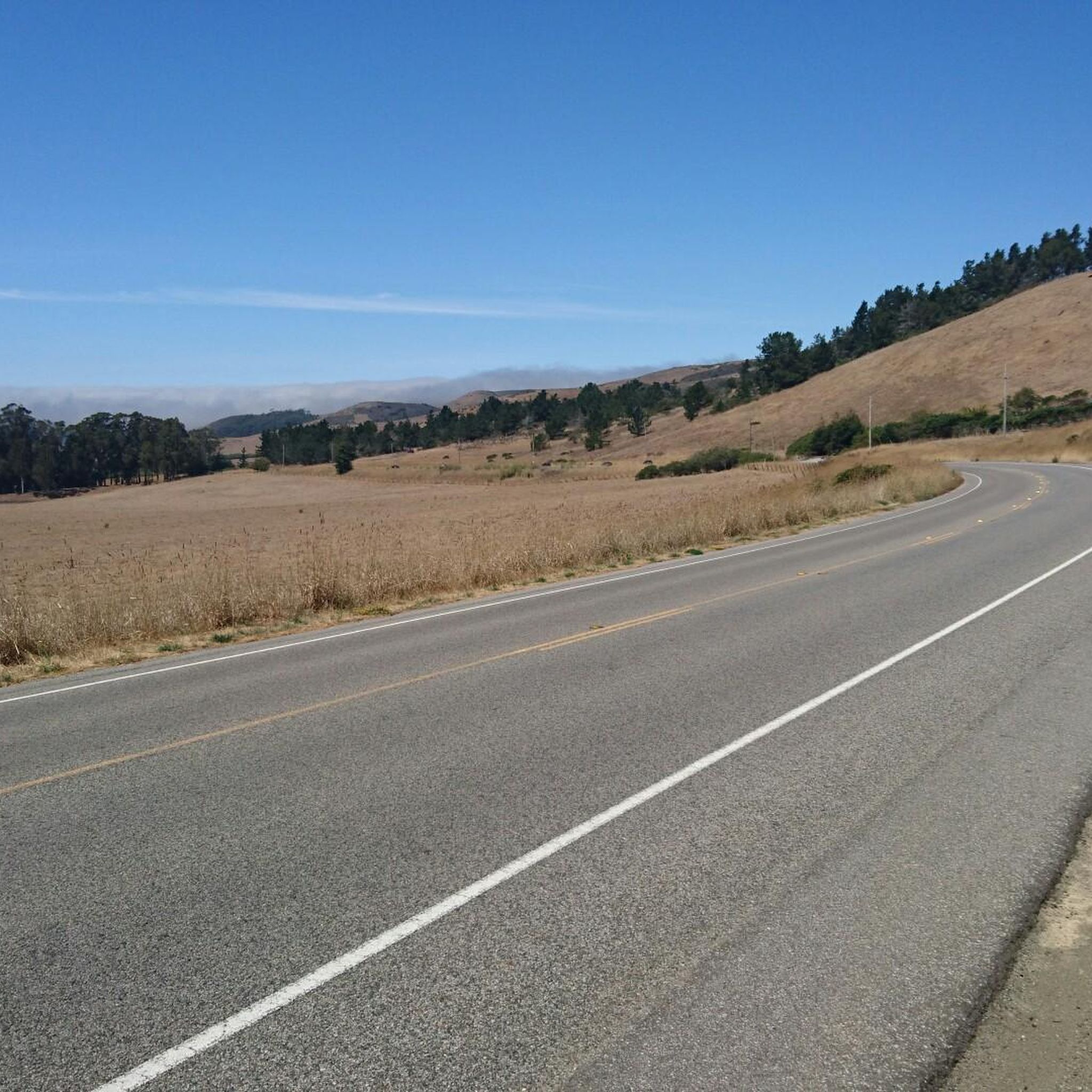
Cycling in La Honda Creek Open Space Preserve (Permit Area)
Tips from the Community

A fun, pretty place to stop while riding Cañada road. I has water and an air pump and bathrooms. Take a photo with friends.
0
0

Alise’s Restaurant is a popular spot for both cyclists and motorcyclists. The food is good, the staff is known for being friendly, and the place has a laid-back, welcoming vibe—perfect for a post-ride meal or coffee break.
1
0

You're not hallucinating: This monument was deliberately built in the style of ancient Greek and Roman architecture, to commemorate the Great Depression-era Hetchy Hetchy Project that brought water down from the mountains to the Bay Area. The frieze says, “I give waters in the wilderness and rivers in the desert, to give drink to my people.”
1
0

Borel Hill is my favorite place to watch spring flowers. The western slope near ancient oaks (5-10min west of Borel Hill) are covered with orange California Poppies and purple flowers starting in April. Borel Hill itself peaks around mid May and has a wide variety of flowers. The show lasts only a few weeks until end of May. The peak time and flower intensity varies from year to year, so come several times between April and May. There is small summit NW of Borel Hill and a narrow dirt trail leads you to a rock within 2 min. The rock is big enough for 2-3 to sit on. On a sunny day, the rock is nice warm even if the air is cold. Good views on the ocean and the Bay.
1
0
Didn’t OLR used to turn into Dirt before reaching Skyline? Is it all pavement now?? Scott
0
0

Woodside Store was built back in the 1850s by two pioneers who came to California for the gold rush. At the time it was the only stagecoach stop between San Francisco and Santa Clara, and it carried all the essential items that travelers riding between cities might need. The store has been restored, inside and out, to look exactly as it did centuries ago. You can call the museum ahead of your trip to book tours.
0
0

Black Mountain, situated on Monte Bello Ridge, is a popular destination for hikers and mountain bikers. With an elevation of 2,812 feet, it's easy to understand why. From the summit, the views of the Santa Cruz Mountains and Silicon Valley are breathtaking.
0
0

Great place for a break in a beautiful, peaceful spot among the redwoods. The restaurant is popular with locals, motorcyclists, hikers, and cyclists, and is the perfect place for a cold drink after finishing the climb up.
1
0
Frequently Asked Questions
How many gravel bike trails are available in La Honda Creek Open Space Preserve (Permit Area)?
There are nearly 10 gravel bike routes documented on komoot for La Honda Creek Open Space Preserve (Permit Area). These routes offer a mix of moderate and difficult challenges, traversing diverse landscapes.
What kind of terrain can I expect on the gravel bike trails?
The preserve offers a varied landscape for gravel biking, including towering second-growth redwood forests, oak woodlands, and expansive coastal grasslands. You'll encounter both expertly designed multi-use trails and incorporated existing ranch roads, with significant elevation changes, often around 1,200 feet.
Are there any challenging gravel bike routes for experienced riders?
Yes, La Honda Creek Open Space Preserve features several challenging routes. For instance, the Black Mountain – Arastradero Lake loop from Portola Valley is a difficult 29.9-mile trail with substantial elevation gain, leading through varied landscapes. Another demanding option is the Portola Road – Old La Honda Road loop from Portola Valley, which spans over 40 miles and features significant climbs.
What are some scenic highlights or viewpoints along the gravel bike trails?
The preserve is known for its sweeping vistas. From locations like the Coho Vista point, you can enjoy panoramic views of the Santa Cruz Mountains, the coast, and even the Pacific Ocean on clear days. Open ridge tops also offer views of the wider Bay Area. Trails like Western Meadowlark and Lone Madrone traverse open grasslands, providing expansive views.
Do I need a permit to access the gravel bike trails in La Honda Creek Open Space Preserve?
Access to certain areas, particularly via the Allen Road Permit Parking Area, requires a free permit obtained in advance. However, biking is generally allowed on designated trails from the Sears Ranch Road parking area without a specific biking permit, though a vehicle permit might be needed for that parking area itself.
What is the best time of year for gravel biking in La Honda Creek Open Space Preserve?
Spring is particularly beautiful, as the grasslands are dotted with wildflowers, enhancing the scenic beauty of a ride. The preserve offers a remote experience year-round, but checking local weather conditions is always advisable, especially during the rainy season when some trails might be muddy.
Are there any moderate gravel bike routes suitable for a less intense ride?
Absolutely. For a moderate ride, consider the Skeggs Point – Blue Blossom Trail loop from Skeggs Point, an 8.7-mile trail that takes you through varied forested areas. Another popular moderate option is the Skegg's Point – Skeggs Point loop from Skeggs Point, offering views and a mix of trail surfaces over 7.4 miles.
What natural features can I observe while gravel biking in the preserve?
Beyond the diverse forests and grasslands, you can find unique geological formations, such as a large tafoni rock formation along the Coho Vista Trail. The preserve is also rich in native plants and wildlife, offering opportunities for birding and observing local fauna, especially in spring when wildflowers are abundant.
Are there any loop trails for gravel biking?
Yes, many of the gravel routes in the preserve are designed as loops. For example, the Old La Honda Road – Portola Road loop from Portola Valley is a moderate 8.6-mile loop that provides a comprehensive experience of the area's terrain.
What do other gravel bikers enjoy most about La Honda Creek Open Space Preserve?
Komoot users frequently praise the preserve for its remote and challenging experience, diverse landscapes ranging from redwood forests to coastal grasslands, and the significant elevation changes that make for a rewarding ride. The extensive and varied trail system, including multi-use trails and ranch roads, is also a highlight for many.
Most popular routes in La Honda Creek Open Space Preserve (Permit Area)

Get inspired with the komoot mobile app


Explore more
Browse the best Gravel rides in other regions.
