La Honda Creek Open Space Preserve (Permit Area)
La Honda Creek Open Space Preserve (Permit Area)
The best cycling routes in La Honda Creek Open Space Preserve (Permit Area)
4.9
(16)
924
riders
39
rides
Touring cycling in La Honda Creek Open Space Preserve (Permit Area) traverses a diverse landscape of over 6,100 acres. The preserve features open rolling grasslands, dense redwood forests, and oak woodlands, with significant elevation changes. While many trails are unpaved, consisting of dirt and gravel roads, doubletrack, and singletrack, the area offers varied terrain for touring cyclists. Panoramic views of the San Mateo County Coast and Santa Cruz Mountains are accessible from various points within the preserve.
Best touring cycling…
Last updated: July 2, 2026
22
riders
11.9km
01:24
420m
420m
Moderate bike ride. Good fitness required. Mostly paved surfaces. Suitable for all skill levels.
12
riders
48.8km
03:25
880m
880m
Hard bike ride. Very good fitness required. Mostly paved surfaces. Suitable for all skill levels.

Sign up for free
9
riders
36.4km
02:34
760m
760m
Hard bike ride. Very good fitness required. Mostly paved surfaces. Suitable for all skill levels.
6
riders
18.0km
02:01
640m
640m
Hard bike ride. Very good fitness required. Mostly paved surfaces. Suitable for all skill levels.
61
riders
28.6km
02:02
550m
550m
Hard bike ride. Very good fitness required. Mostly paved surfaces. Suitable for all skill levels.
Get access to more routes and recommendations from other explorers.
Sign up for free
Already have an account?
Our route recommendations are based on thousands of hikes, rides, and runs completed by other people on komoot.
Start today with a free account
Your next adventure awaits.
Login or Signup
Popular around La Honda Creek Open Space Preserve (Permit Area)
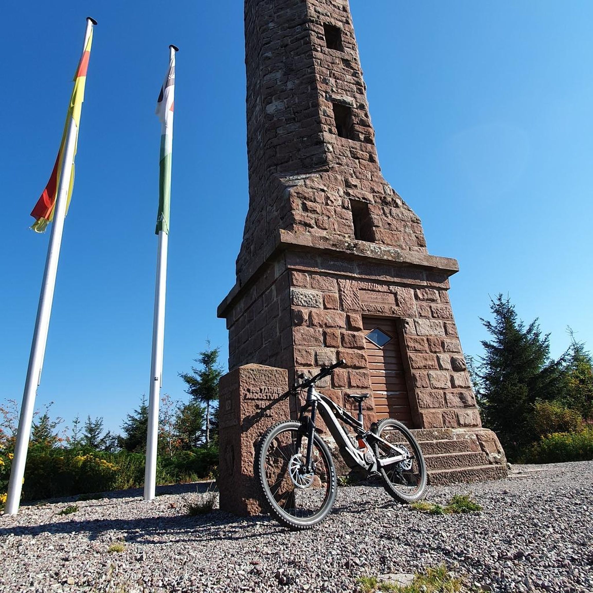
Hiking in La Honda Creek Open Space Preserve (Permit Area)

MTB Trails in La Honda Creek Open Space Preserve (Permit Area)
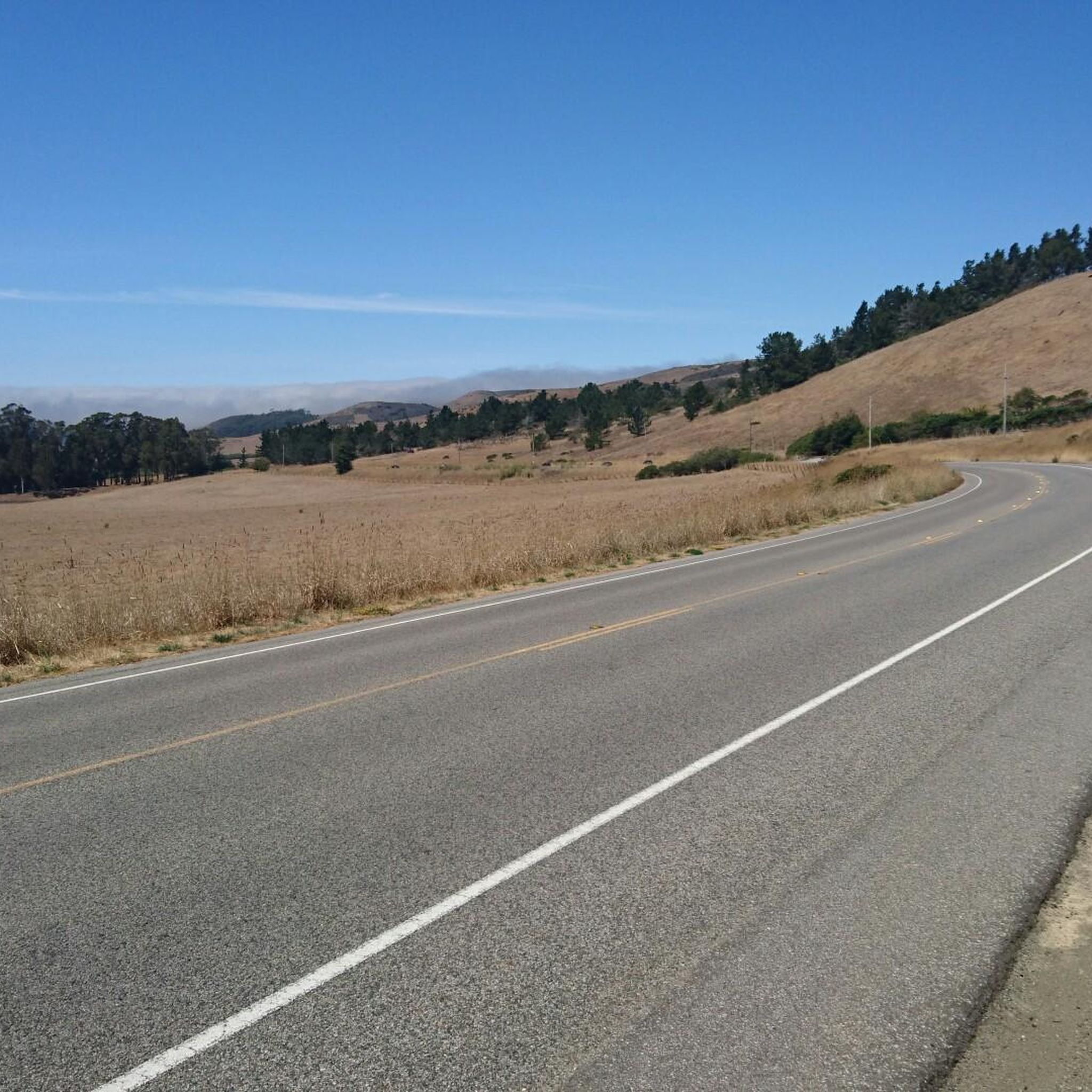
Road Cycling Routes in La Honda Creek Open Space Preserve (Permit Area)
Running Trails in La Honda Creek Open Space Preserve (Permit Area)
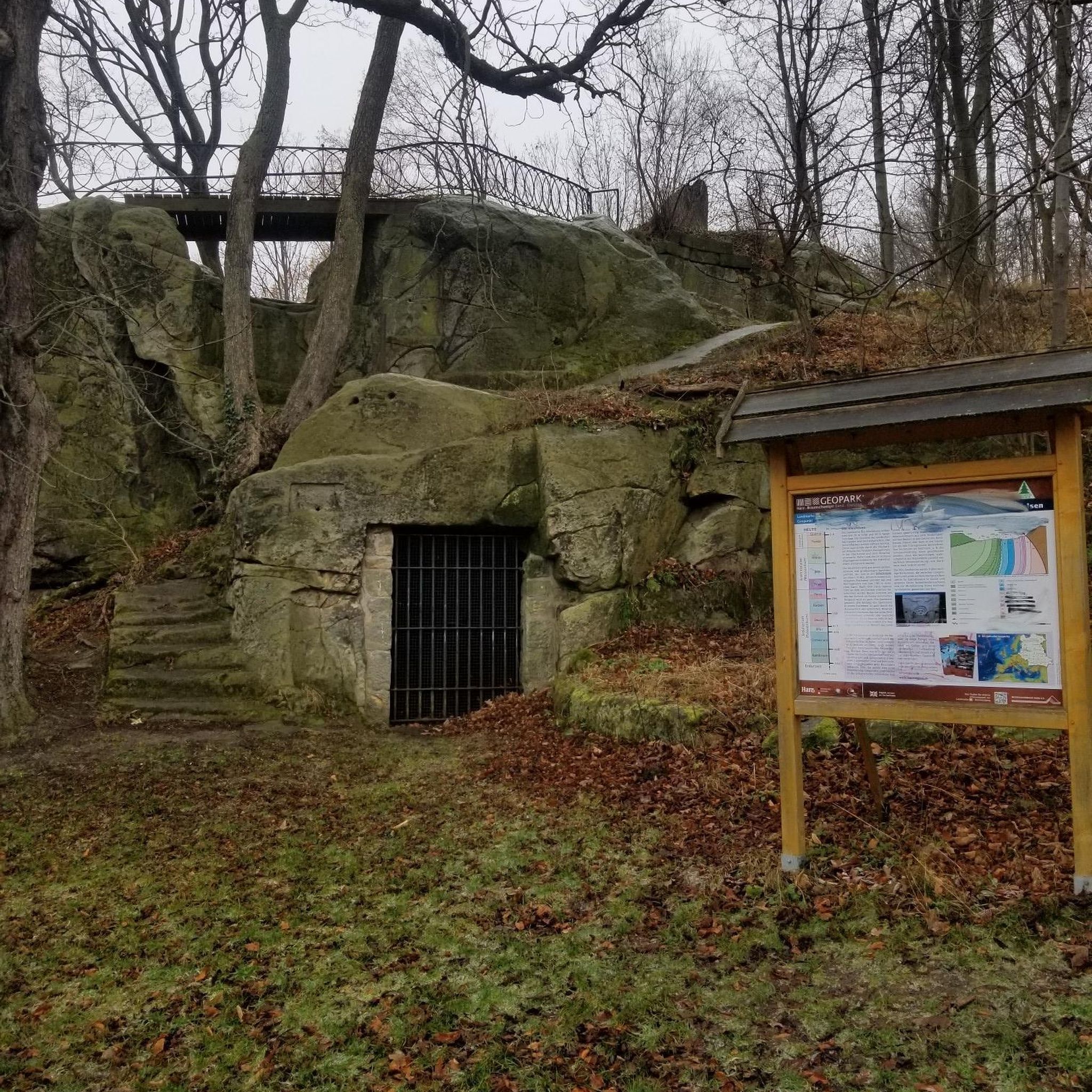
Gravel biking in La Honda Creek Open Space Preserve (Permit Area)
Tips from the Community

Alise’s Restaurant is a popular spot for both cyclists and motorcyclists. The food is good, the staff is known for being friendly, and the place has a laid-back, welcoming vibe—perfect for a post-ride meal or coffee break.
1
0
This is where La Ronda Road meets Skyline Boulevard. After the climb, it’s the perfect place to recharge and grab something to eat at one of the nearby restaurants or grocery stores. Alise's Restaurant is a popular one.
0
0

Woodside Store was built back in the 1850s by two pioneers who came to California for the gold rush. At the time it was the only stagecoach stop between San Francisco and Santa Clara, and it carried all the essential items that travelers riding between cities might need. The store has been restored, inside and out, to look exactly as it did centuries ago. You can call the museum ahead of your trip to book tours.
0
0

Russian Ridge is an incredible 3,137-acre preserve that boasts a rich diversity of plants and wildlife, steep forested canyons, and grasslands, with abundant wildflowers in the spring. The open ridge tops provide breathtaking panoramic views of the Santa Cruz Mountains, the Bay Area, and the Pacific Ocean, making it one of the most scenic preserves in the area to enjoy a picturesque ride.
0
0

Great place for a break in a beautiful, peaceful spot among the redwoods. The restaurant is popular with locals, motorcyclists, hikers, and cyclists, and is the perfect place for a cold drink after finishing the climb up.
1
0

The Woodside Store, also known as Tripp Store, is located at 3300 Tripp Road at Kings Mountain Road in Woodside, San Mateo County, California. It has been listed on the National Register of Historic Places since 1985 and was designated a California Historical Landmark in 1949. The store's history dates back to October 1849 when Matthias Alfred Parkhurst purchased land in the area and began a shingle-making and lumber business with his partners, including Robert Orville Tripp. The store was established in 1853, originally serving the needs of lumbermen and settlers during the Gold Rush era. Dr. Tripp became the sole operator of the store after Parkhurst's death in 1863, running it until his own death in 1909. He was a well-known figure in Woodside, holding various public offices. The San Mateo County Historical Association acquired the store in the 1940s, and it was restored to its 1880s condition by 1994.
0
0

It's all downhill from here! It's a pretty awesome section all the way to San Gregorio Beach.
0
0
Frequently Asked Questions
How many touring cycling routes are available in La Honda Creek Open Space Preserve (Permit Area)?
There are over 35 touring cycling routes available in La Honda Creek Open Space Preserve (Permit Area), offering a variety of experiences from moderate to difficult.
What kind of terrain can I expect on touring cycling routes in La Honda Creek Open Space Preserve?
The preserve features a diverse landscape including open rolling grasslands, dense redwood forests, and oak woodlands. While some routes may include paved sections, many trails within the preserve are unpaved, consisting of dirt and gravel roads, doubletrack, and even singletrack. Expect significant elevation changes throughout the area.
Are there any specific permits required for touring cycling in La Honda Creek Open Space Preserve?
Yes, access to certain areas of La Honda Creek Open Space Preserve, particularly Upper La Honda Creek and some parking areas, requires a no-fee permit. These permits should be requested at least 48 hours in advance due to parking limitations. It's important to check the official Midpeninsula Regional Open Space District website for the most current permit requirements.
Where can I park when visiting La Honda Creek Open Space Preserve for cycling?
Parking is available at designated areas, but some, like the Allen Road parking area, require a permit and are for hiking only. For cycling, it's crucial to check specific access points and permit requirements beforehand, as walking or biking to or from trails via Allen Road is not permitted. Plan your route and parking in advance, especially considering the permit system.
Can I bring my dog on touring cycling routes in La Honda Creek Open Space Preserve?
Dogs on leash are allowed on designated trails within the preserve. This includes all trails in Upper La Honda Creek (with a permit) and seasonally on the Grasshopper Loop Trail. Always check for current regulations regarding dogs before your visit.
Are there any family-friendly touring cycling routes in the preserve?
While the preserve offers a range of routes, many feature significant elevation changes and unpaved surfaces, making them more suitable for experienced riders or those with appropriate bikes (like gravel or mountain bikes). There are 2 routes rated as easy, but the majority are moderate to difficult. For families, it's best to carefully review the route details and terrain before setting out.
What natural features or viewpoints can I see while cycling in La Honda Creek Open Space Preserve?
Cyclists can enjoy magnificent panoramic views of the San Mateo County Coast and the Santa Cruz Mountains, with glimpses of the Pacific Ocean on clear days. The preserve also features diverse ecosystems, including open rolling grasslands, dense redwood forests, and oak woodlands. You might also encounter historic ranchland with grazing cattle.
Are there any circular touring cycling routes available?
Yes, many of the touring cycling routes in the preserve are loops. For example, you can explore the Skegg's Point – Morena Sierra loop from Woodside or the more challenging View of Skyline Ridge – Mountain Ridge View loop from La Honda, both offering varied terrain and scenic views.
What is the best time of year to go touring cycling in La Honda Creek Open Space Preserve?
Spring is particularly beautiful, with the grasslands adorned by colorful wildflower displays. However, the preserve offers year-round cycling opportunities. Be aware that trail conditions can vary with weather, especially after rain, and some trails may have seasonal restrictions. Always check current conditions before your ride.
What do other cyclists say about touring cycling in La Honda Creek Open Space Preserve?
The area is highly rated by the komoot community, with an average score of 4.8 stars from over 20 reviews. Reviewers often praise the varied terrain, the stunning panoramic views, and the immersive experience of cycling through diverse ecosystems like redwood forests and open grasslands.
Are there any notable landmarks or attractions along the cycling routes?
A significant natural attraction is the 'Big Tree,' one of the few remaining old-growth redwood trees in the area, accessible via the Cielo Trail in Upper La Honda Creek. The preserve also offers immersion into historic ranchland, complete with a historic Red Barn visible from trails like Western Meadowlark and Lone Madrone.
Is public transport an option for accessing the cycling routes?
Public transport options directly to the preserve are limited, and access to some areas requires a permit and private vehicle. It is generally recommended to plan for private transportation to reach the trailheads and parking areas.
What should I consider bringing for a touring cycling trip in the preserve?
Given the varied terrain and potential for significant elevation changes, it's advisable to bring a bike suitable for unpaved surfaces (like a gravel or mountain bike) with appropriate tires. Carry plenty of water, snacks, sun protection, and navigation tools. A permit may also be required for certain areas, so ensure you have that ready.
What are some of the more challenging touring cycling routes for experienced riders?
For experienced riders seeking a challenge, routes like the Skeggs Point – San Gregorio State Beach loop from Huddart County Park, covering 84.9 km with over 1700m of elevation gain, offer a demanding experience. Another difficult option is the Kings Mountain Road – Lower Kings Mountain Road loop from Woodside, which includes significant climbs.
Most popular routes in La Honda Creek Open Space Preserve (Permit Area)

Get inspired with the komoot mobile app


Explore more
Browse the best Cycling routes in other regions.
