La Honda Creek Open Space Preserve (Closed Areas)
La Honda Creek Open Space Preserve (Closed Areas)
The best gravel rides in La Honda Creek Open Space Preserve (Closed Areas)
5.0
(1)
31
riders
13
rides
Gravel biking in La Honda Creek Open Space Preserve (Closed Areas) offers diverse landscapes, from historic ranchland and rolling grasslands to dense redwood and Douglas fir forests. The preserve features a connected trail system with varied terrain, including significant elevation gains across the Santa Cruz Mountains. Riders can experience broad vistas of the San Mateo County Coast and explore areas previously less accessible, now managed for visitor enjoyment. The region encompasses significant portions of the Bogess Creek and La Honda Creek watersheds.
Best gravel bike trails in La Honda Creek Open Space Preserve (Closed Areas)
- The most popular gravel bike trail is Black Mountain – Arastradero Lake loop from Portola Valley, a 29.9 miles (48.2 km) trail that takes 3 hours 58 minutes to complete. This difficult route features substantial climbing through varied landscapes.
- Another top favourite among local gravel bikers is Old La Honda Road – Portola Road loop from Portola Valley, a moderate 8.6 miles (13.9 km) path. This route offers a mix of paved and gravel surfaces with notable elevation changes.
- Local gravel bikers also love the Skeggs Point loop from Skeggs Point, a 7.4 miles (11.9 km) trail leading through forest areas, often completed in about 1 hour 20 minutes.
- Gravel biking in La Honda Creek Open Space Preserve (Closed Areas) is defined by historic ranchland, expansive rolling grasslands, and impressive redwood forests. The network offers options for various ability levels, from moderate paths to more challenging routes with significant climbs.
- The guide includes highly-rated routes that showcase the best of the region's landscape. More than 40 gravel bikers have used komoot to explore La Honda Creek Open Space Preserve (Closed Areas)'s varied terrain.
Last updated: July 12, 2026
5
riders
Hard gravel ride. Very good fitness required. Mostly paved surfaces. Suitable for all skill levels.
4
riders
48.2km
03:59
1,300m
1,300m
Hard gravel ride. Very good fitness required. Mostly paved surfaces. Suitable for all skill levels.

Sign up for free
2
riders
13.9km
01:13
440m
440m
Moderate gravel ride. Good fitness required. Mostly paved surfaces. Suitable for all skill levels.
11
riders
48.0km
03:34
1,170m
1,170m
Hard gravel ride. Very good fitness required. Mostly paved surfaces. Suitable for all skill levels.
5.0
(1)
5
riders
Moderate gravel ride. Good fitness required. Mostly paved surfaces. Suitable for all skill levels.
Get access to more routes and recommendations from other explorers.
Sign up for free
Already have an account?
Our route recommendations are based on thousands of hikes, rides, and runs completed by other people on komoot.
Start today with a free account
Your next adventure awaits.
Login or Signup
Popular around La Honda Creek Open Space Preserve (Closed Areas)

Classy road bike rides on the SF peninsula
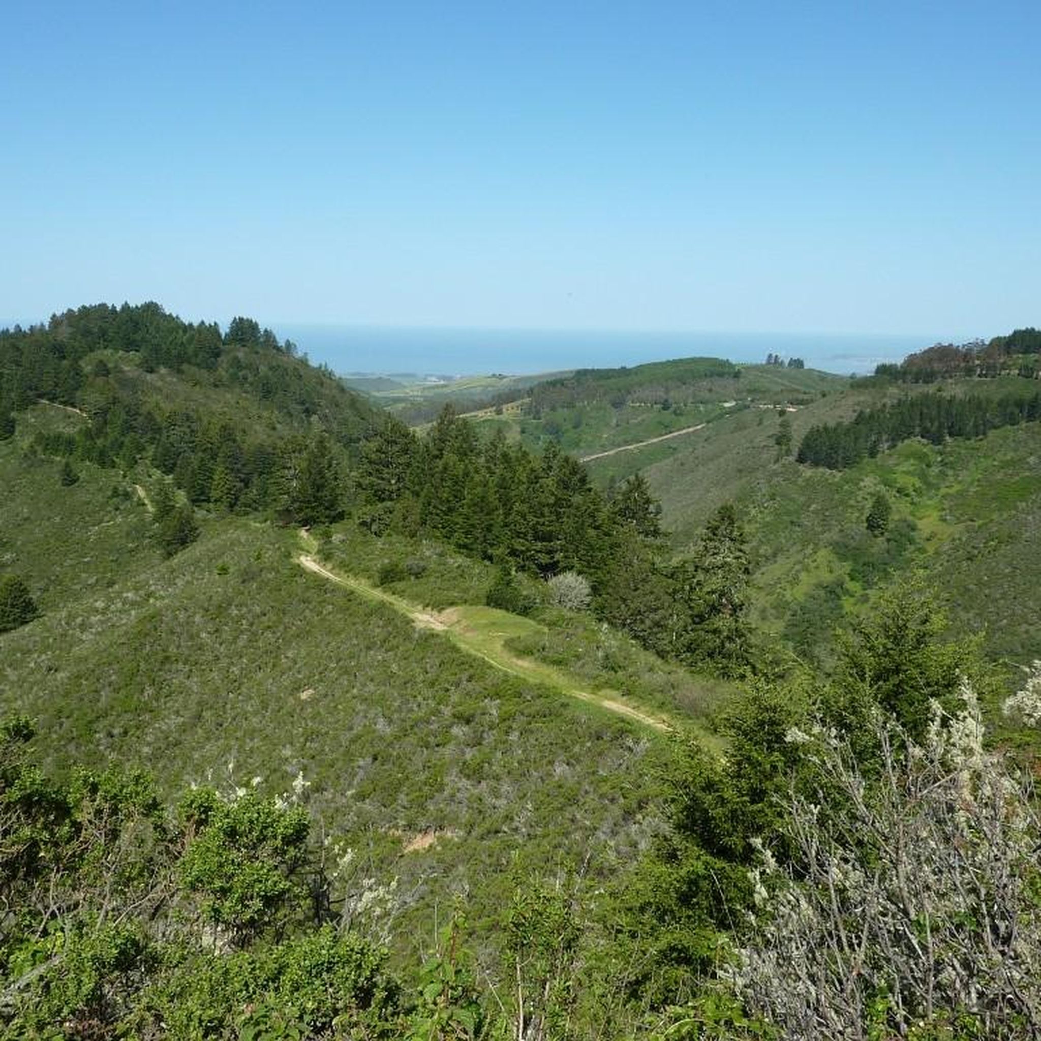
Hiking in La Honda Creek Open Space Preserve (Closed Areas)

MTB Trails in La Honda Creek Open Space Preserve (Closed Areas)
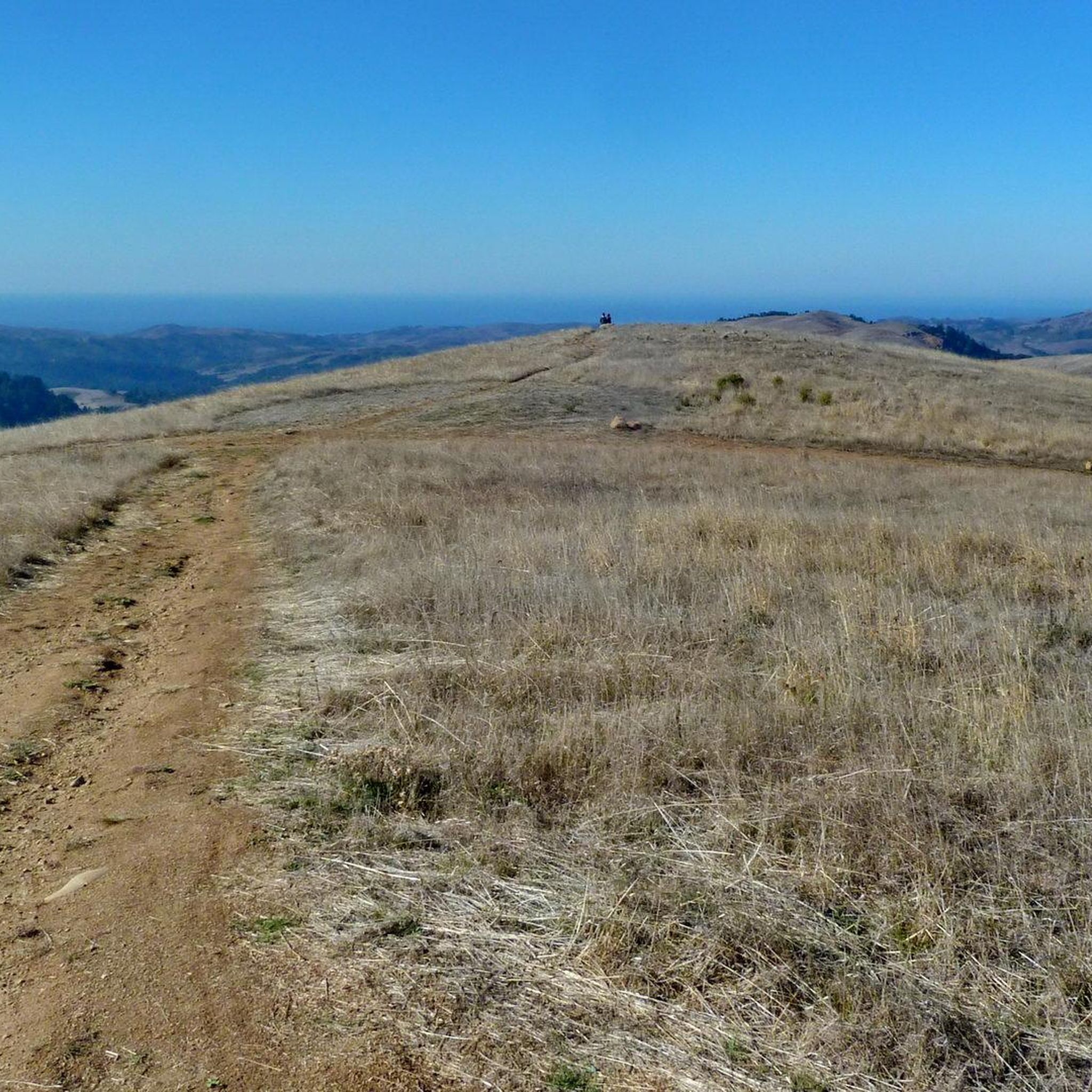
Road Cycling Routes in La Honda Creek Open Space Preserve (Closed Areas)
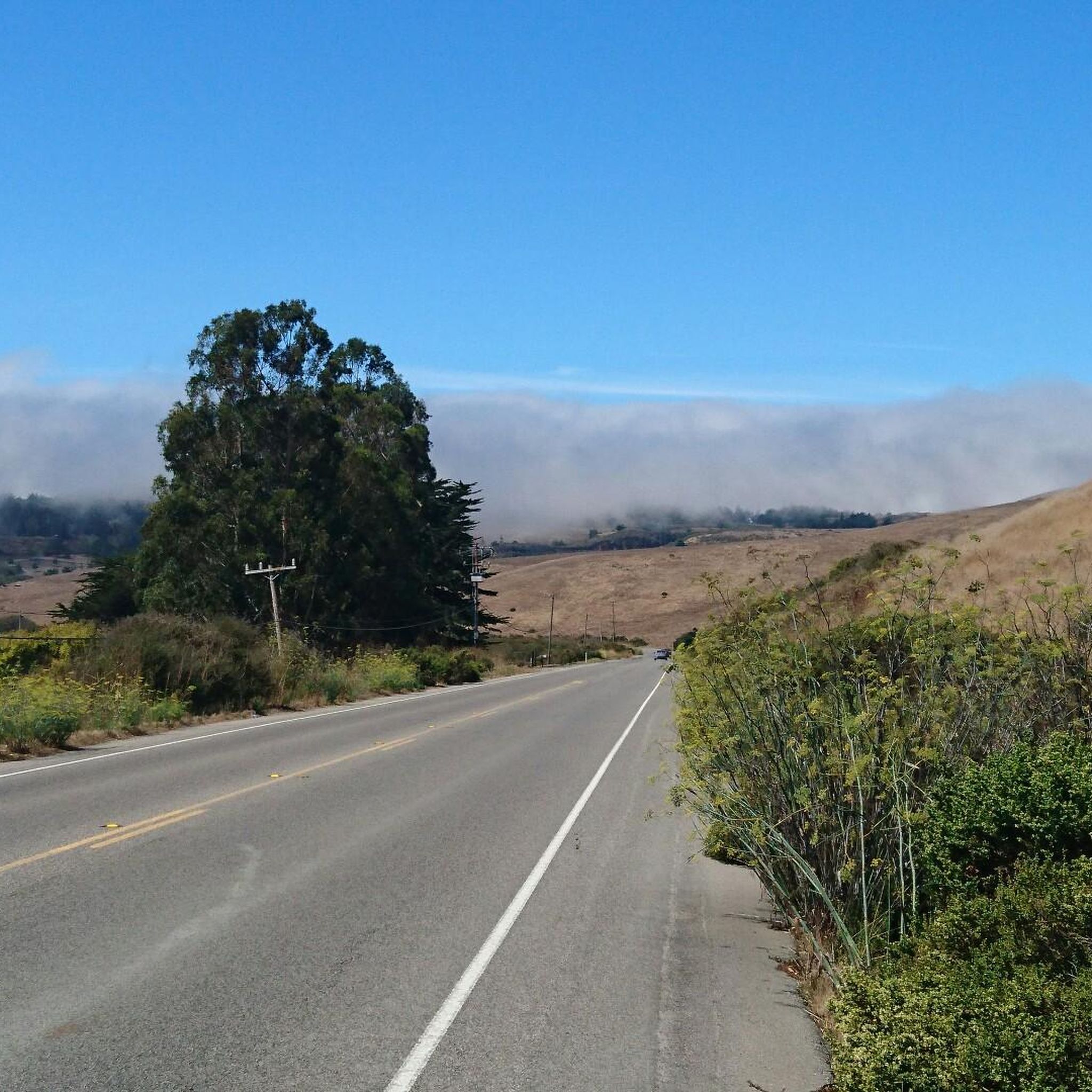
Cycling in La Honda Creek Open Space Preserve (Closed Areas)

Running Trails in La Honda Creek Open Space Preserve (Closed Areas)
Other adventures in La Honda Creek Open Space Preserve (Closed Areas)

Tips from the Community

Borel Hill is my favorite place to watch spring flowers. The western slope near ancient oaks (5-10min west of Borel Hill) are covered with orange California Poppies and purple flowers starting in April. Borel Hill itself peaks around mid May and has a wide variety of flowers. The show lasts only a few weeks until end of May. The peak time and flower intensity varies from year to year, so come several times between April and May. There is small summit NW of Borel Hill and a narrow dirt trail leads you to a rock within 2 min. The rock is big enough for 2-3 to sit on. On a sunny day, the rock is nice warm even if the air is cold. Good views on the ocean and the Bay.
1
0
Didn’t OLR used to turn into Dirt before reaching Skyline? Is it all pavement now?? Scott
0
0

Here, the Steve's Creek Nature Trail and the Canyon Trail intersect. A lovely patch of grass surrounds the junction, making it an ideal spot for a break.
0
0

Black Mountain, situated on Monte Bello Ridge, is a popular destination for hikers and mountain bikers. With an elevation of 2,812 feet, it's easy to understand why. From the summit, the views of the Santa Cruz Mountains and Silicon Valley are breathtaking.
0
0

Boronda Lake features a couple scenic picnic areas with piers out over the water. A small arched bridge leads out to Sunfish Island from a trail on the side of the lake opposite the road. This is great place from which to enjoy beautiful Foothills Nature Preserve.
0
0

Old La Honda Rd downhill video: https://youtu.be/icnBpBZQ8gE?si=xYovaH-Nr8llwLEM
0
0

A small hike/bike-in campground with a vault toilet and (non-portable) water. You can oversee the lights of Bay Area at night and wake up above the cloud in the morning. You have to get a permit ($2) and the park rangers come and check the permit in the evening.
2
0
Frequently Asked Questions
How many gravel bike trails are available in La Honda Creek Open Space Preserve (Closed Areas)?
There are over 10 gravel bike trails available in La Honda Creek Open Space Preserve (Closed Areas). These routes offer a variety of experiences, from moderate loops to more challenging rides with significant elevation gains.
What does 'Closed Areas' refer to in La Honda Creek Open Space Preserve?
The term 'Closed Areas' often refers to sections of the preserve that historically had restricted access or require specific permits for entry, such as the Upper La Honda Creek area. These areas are now managed to provide unique outdoor experiences, including access to redwood forests and features like the 'Big Tree'.
Do I need a permit to gravel bike in La Honda Creek Open Space Preserve, especially in the 'Closed Areas'?
Yes, for certain areas like the Upper La Honda Creek, a no-fee permit is required due to parking limitations. This system helps manage visitor numbers and ensures a more secluded experience. It's always best to check the Midpeninsula Regional Open Space District's official website for the most current permit requirements before your visit.
What kind of terrain and elevation can I expect on gravel bike trails in La Honda Creek Open Space Preserve?
You can expect diverse terrain ranging from historic ranchland and rolling grasslands to dense redwood and Douglas fir forests. Trails vary from mostly paved surfaces to challenging gravel sections. Elevation gains can be significant, with some routes featuring over 1,000 feet of climbing, offering a good workout for riders.
Are there any family-friendly gravel biking options in La Honda Creek Open Space Preserve?
While many routes involve significant elevation, some shorter, moderate loops might be suitable for families with older children or those comfortable with some climbing. For example, the White Oak Trail – Bella Vista Trail loop from Los Trancos Open Space Preserve is a moderate option that covers about 6 miles.
What are the rules regarding dogs on gravel bike trails in La Honda Creek Open Space Preserve?
Dog access rules can vary and may include seasonal closures, especially in areas with active ranchland operations during cattle calving season, such as the Grasshopper Loop Trail. It's crucial to check the Midpeninsula Regional Open Space District's guidelines for specific trail regulations regarding dogs.
Where can I park when visiting La Honda Creek Open Space Preserve for gravel biking?
Parking availability can vary by trailhead. For areas requiring a permit, such as Upper La Honda Creek, parking is often limited and managed through the permit system. Always plan your parking in advance and check for designated parking areas near your chosen trailhead.
What are some challenging gravel biking routes in the preserve?
For experienced gravel bikers seeking a challenge, routes like the Black Mountain – Arastradero Lake loop from Portola Valley offer substantial climbing over nearly 30 miles. Another difficult option is the Old La Honda Road – West Old La Honda Road loop from Portola Valley, which also features significant elevation changes.
What kind of views and natural features can I expect to see along the gravel bike routes?
Riders can enjoy magnificent panoramic views of the San Mateo County Coast and the Santa Cruz Mountains, especially from vista points within the preserve. You'll also pass through historic ranchland with actively grazing cattle, expansive rolling grasslands, and impressive redwood and Douglas fir groves. Keep an eye out for diverse flora and potential wildlife sightings.
Are there any circular gravel bike routes in La Honda Creek Open Space Preserve?
Yes, many of the gravel bike routes in the preserve are designed as loops, allowing you to start and end at the same point. Examples include the Old La Honda Road – Portola Road loop from Portola Valley and the Skeggs Point – Blue Blossom Trail loop from Skeggs Point.
What is the best time of year for gravel biking in La Honda Creek Open Space Preserve?
Spring is particularly beautiful, with wildflowers like California poppy and blue-eyed grass in bloom across the grasslands. However, the preserve offers enjoyable riding conditions throughout much of the year, though summer can be warm and winter may bring rain. Always check local weather and trail conditions before heading out.
What do other gravel bikers enjoy most about La Honda Creek Open Space Preserve?
Gravel bikers frequently praise the preserve's diverse landscapes, which transition from open ranchland and grasslands to dense redwood forests. The challenging climbs and rewarding panoramic views of the coast and mountains are also highly valued, offering a varied and engaging riding experience.
Most popular routes in La Honda Creek Open Space Preserve (Closed Areas)

Get inspired with the komoot mobile app


Explore more
Browse the best Gravel rides in other regions.
