The best walks and hikes in La Honda Creek Open Space Preserve (Closed Areas)
4.7
(290)
3,928
hikers
174
hikes
Hiking in La Honda Creek Open Space Preserve (Closed Areas) offers routes through a landscape of rolling grasslands, historic ranchlands, and redwood forests. The preserve is part of the Santa Cruz Mountains and features trails with significant elevation changes. Some routes provide expansive views of the San Mateo County Coast and the Pacific Ocean.
Best hiking trails in La Honda Creek Open Space Preserve (Closed Areas)
- The most popular hiking route is Windy Hill Summit loop from Portola Valley,…
Last updated: July 1, 2026
9
hikers
4.20km
01:08
60m
60m
Easy hike. Great for any fitness level. Easily-accessible paths. Suitable for all skill levels.
5.0
(1)
31
hikers
11.0km
03:27
450m
440m
Moderate hike. Good fitness required. Easily-accessible paths. Suitable for all skill levels.

Sign up for free
17
hikers
7.52km
02:13
220m
220m
Moderate hike. Good fitness required. Easily-accessible paths. Suitable for all skill levels.
10
hikers
21.3km
06:31
730m
730m
Hard hike. Very good fitness required. Easily-accessible paths. Suitable for all skill levels.
5.0
(2)
7
hikers
23.7km
07:13
760m
950m
Hard hike. Very good fitness required. Easily-accessible paths. Suitable for all skill levels.
Get access to more routes and recommendations from other explorers.
Sign up for free
Already have an account?
Our route recommendations are based on thousands of hikes, rides, and runs completed by other people on komoot.
Start today with a free account
Your next adventure awaits.
Login or Signup
Popular around La Honda Creek Open Space Preserve (Closed Areas)

Classy road bike rides on the SF peninsula

MTB Trails in La Honda Creek Open Space Preserve (Closed Areas)
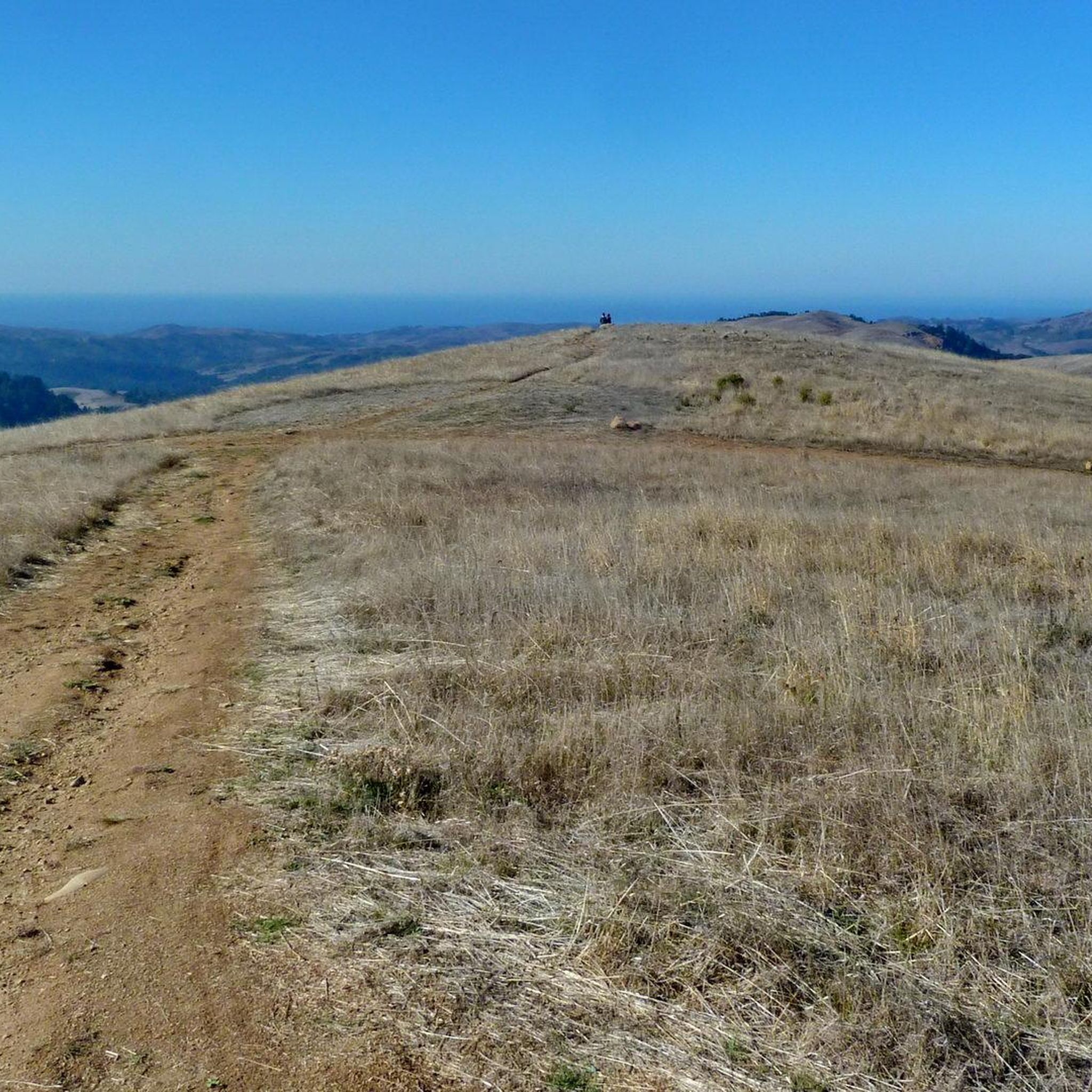
Road Cycling Routes in La Honda Creek Open Space Preserve (Closed Areas)
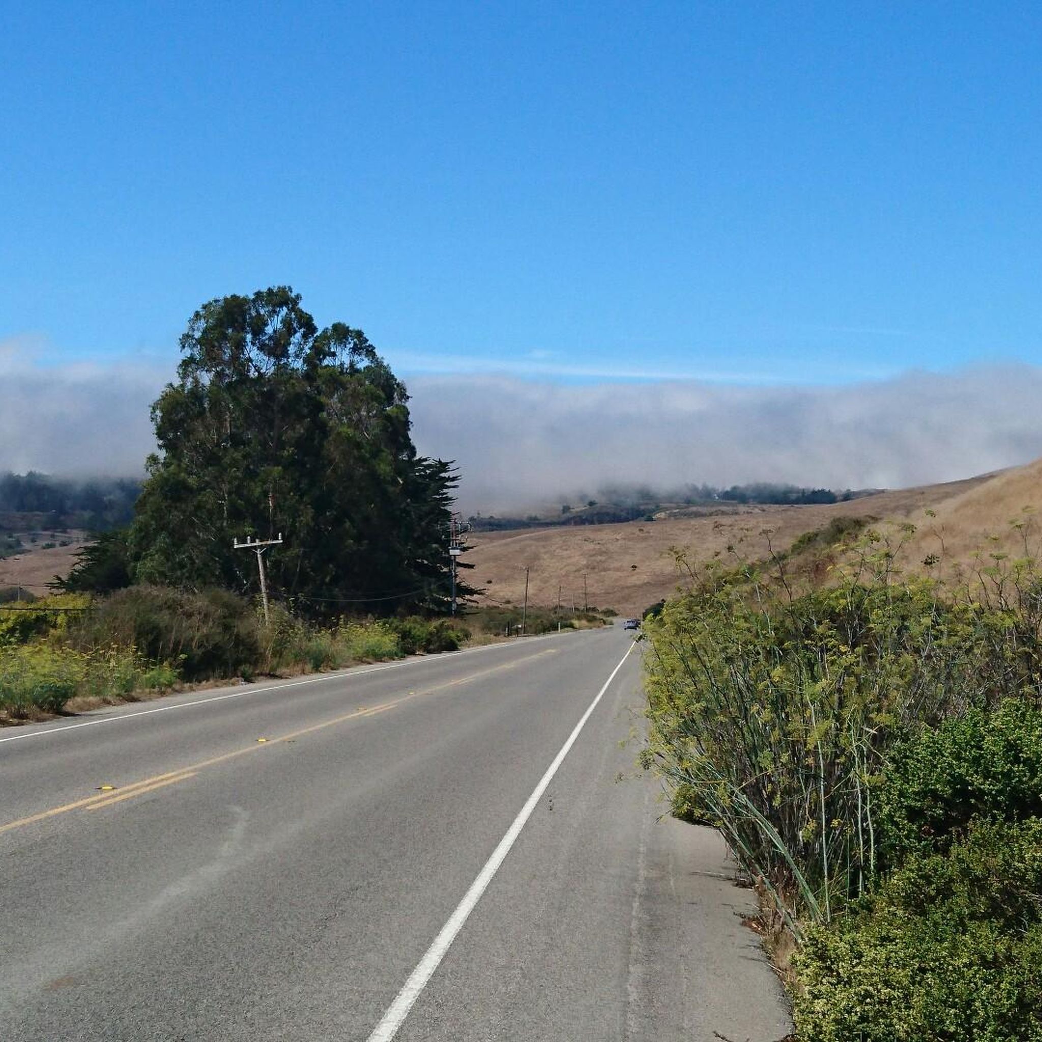
Cycling in La Honda Creek Open Space Preserve (Closed Areas)

Running Trails in La Honda Creek Open Space Preserve (Closed Areas)
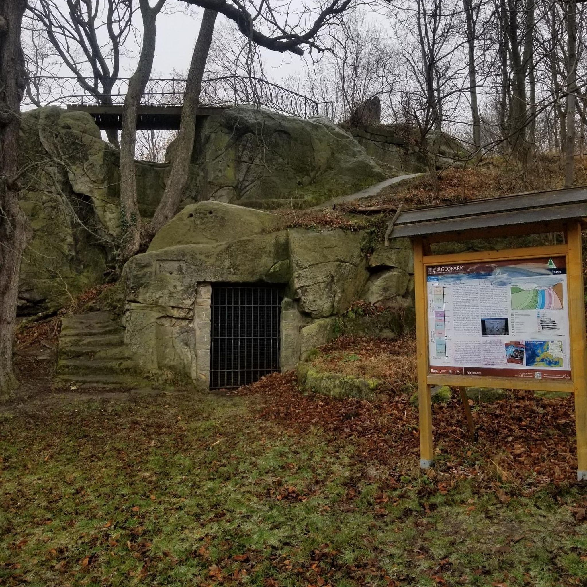
Gravel biking in La Honda Creek Open Space Preserve (Closed Areas)
Other adventures in La Honda Creek Open Space Preserve (Closed Areas)

Tips from the Community

The hike from Razorback Ridge trailhead to the Windyhill summit is mostly through shaded sections. Sections of it kept cool from the fog rolling in from the Santa Cruz Mountains. The final section, Anniversary Trail is out in the open but has nice views of the bay.
0
0

On a clear day, you can see up the bay to San Francisco and out across Silicon Valley. The trail follows a packed dirt track which winds above the treetops, granting sweeping views from this northern section.
0
0

Windy Hill Summit, located at an elevation of 1,905 feet within the Windy Hill Open Space Preserve, offers great views of Silicon Valley and the Peninsula. The preserve stretches 1,132 acres along the east side of the Santa Cruz Mountains, coming up from the valley road near Portola Valley to this scenic summit. It’s a great spot to watch the sunset and take in views.
0
1

Windy Hill Open Space Preserve encompasses a little over 1,100 acres of barren land with a few spotty forest areas. The majority of the Peninsula Range (the mountain range in which the park is encompassed) is completely covered in trees, but the Windy Hill Open Space Preserve has a bunch of open meadows and bald hills with expansive views.
0
0

At an estimated age of 1860 years and reaching a towering height of over 200 feet at its tallest point and with a trunk diameter of 14 feet, this remarkable tree stands as one of the few remaining first-growth trees in the region. Witnessing its grandeur firsthand is essential to fully comprehend its immense magnitude.
0
0

Skeggs (El Corte de Madera Creek Open Space Preserve) is one of the best mountain biking locations in the Bay Area. The park features lots of trails, many of them first-class singletrack. No matter what if you are an advanced rider or a beginner, you will find the perfect loop in this trail area.
1
1

Pleasant wide trail section that's great for climbing Northeast out of the El Corte de Madera Creek valley.
1
0
Trailhead on Skyline boulevard a few steps from the ancient Methuselah tree. Starting point of the Methuselah Trail, and access to the more narrow Sierra Morena Trail.
1
1
Frequently Asked Questions
Why are some areas of La Honda Creek Open Space Preserve marked as 'closed'?
Certain areas, like the Upper La Honda Creek entrance on Allen Road, are not permanently closed but require a free, single-day use permit for access. This system is in place to manage parking, protect the natural resources, and maintain a sense of solitude for visitors. Always check the Midpeninsula Regional Open Space District website for the latest access information and to obtain a permit before your visit.
Are dogs allowed on the trails in La Honda Creek?
Yes, dogs are welcome in the preserve but must be on a leash at all times. They are permitted on designated trails, primarily in the lower, publicly accessible areas. Be aware that some of the more remote or permit-only areas may have restrictions, so it's best to check the trail signage at the start of your hike.
Where can I find a trail map for the preserve?
You can view and plan your routes directly within komoot, which has detailed trail information for the area. Additionally, maps are usually available at the main trailheads, such as the one at the Sears Ranch Road parking area. It's always a good idea to download a map for offline use as cell service can be unreliable in the preserve.
Are there any easy, family-friendly hikes available?
Yes, the Grasshopper Loop Trail is an excellent option for families or those looking for a less strenuous walk. It's a 1.3-mile easy-access trail that offers a wonderful taste of the preserve's landscape, passing through ranchlands, oak woodlands, and redwood forests with several viewpoints along the way.
Which trails offer the best views of the Pacific Ocean?
For stunning coastal views, head to the newer trails in the central part of the preserve, such as the Coho Vista and Western Meadowlark trails. These routes are more remote and challenging, involving significant elevation gain, but reward hikers with expansive views of the ocean from open coastal grasslands.
Where is the best place to see redwood trees?
The preserve has several beautiful redwood groves. For a memorable experience, consider the Methusela Tree – Tafoni Sandstone Formation loop from Woodside. This moderate hike leads you through serene forested areas where you can admire these magnificent trees.
What is the parking situation at La Honda Creek?
The main public access point with parking is located on Sears Ranch Road for the lower portion of the preserve. For the permit-required Upper La Honda Creek area, access is via Allen Road, where parking is limited and managed through the permit system to prevent overcrowding.
Is the preserve accessible by public transport?
No, there is no direct public transportation to La Honda Creek Open Space Preserve. The trailheads are in a rural area, so accessing them requires a private vehicle.
Are there any good circular hikes in the preserve?
Absolutely. The preserve is well-suited for loop hikes. A great moderate option is the Skyline Trail – Great Climb to Skyline loop from Woodside, which offers a rewarding climb and showcases the area's varied terrain over its 6-mile (9.7 km) distance.
What are the trail conditions like?
The trails vary greatly. Some routes, like the Harrington Creek Trail, are very exposed with little shade, so sun protection is essential. Others are deep within shaded redwood forests. Many trails, especially the newer ones, are remote and can have significant elevation changes of up to 1,200 feet. Always wear sturdy hiking shoes and bring plenty of water.
What do other hikers enjoy about La Honda Creek Open Space Preserve?
The preserve is highly rated by the komoot community. Hikers frequently praise the diversity of the landscape, from the open, rolling grasslands with grazing cattle to the quiet, shady redwood forests. The sense of solitude and the expansive views of the coast are also commonly highlighted.
Most popular routes in La Honda Creek Open Space Preserve (Closed Areas)

Get inspired with the komoot mobile app


Explore more
Browse the best Hikes in other regions.
