La Honda Creek Open Space Preserve (Closed Areas)
La Honda Creek Open Space Preserve (Closed Areas)
The best cycling routes in La Honda Creek Open Space Preserve (Closed Areas)
4.9
(24)
1,247
riders
49
rides
Touring cycling in La Honda Creek Open Space Preserve (Closed Areas) offers routes through diverse landscapes, including historic ranchlands, open rolling grasslands, and significant redwood forests. The preserve spans over 6,100 acres, featuring oak woodlands and ridge tops that provide expansive views of the Santa Cruz Mountains and the Pacific Ocean. Many routes incorporate existing ranch roads, offering a mix of paved and unpaved surfaces. Elevation changes are common, providing challenging and rewarding rides for touring cyclists.
Best touring cycling…
Last updated: November 2, 2026
11
riders
36.5km
02:35
760m
760m
Hard bike ride. Very good fitness required. Mostly paved surfaces.
65
riders
28.6km
02:02
550m
550m
Hard bike ride. Very good fitness required. Mostly paved surfaces.

44
riders
18.4km
01:29
520m
520m
Hard bike ride. Very good fitness required. Mostly paved surfaces.
21
riders
11.9km
01:24
420m
420m
Moderate bike ride. Good fitness required. Mostly paved surfaces.
11
riders
49.0km
03:25
880m
880m
Hard bike ride. Very good fitness required. Mostly paved surfaces.
Get access to more routes and recommendations from other explorers.
Already have an account?
Our route recommendations are based on thousands of hikes, rides, and runs completed by other people on komoot.
Start today with a free account
Your next adventure awaits.
Popular around La Honda Creek Open Space Preserve (Closed Areas)
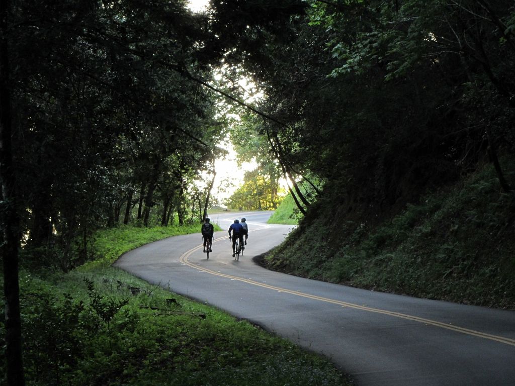
Classy road bike rides on the SF peninsula
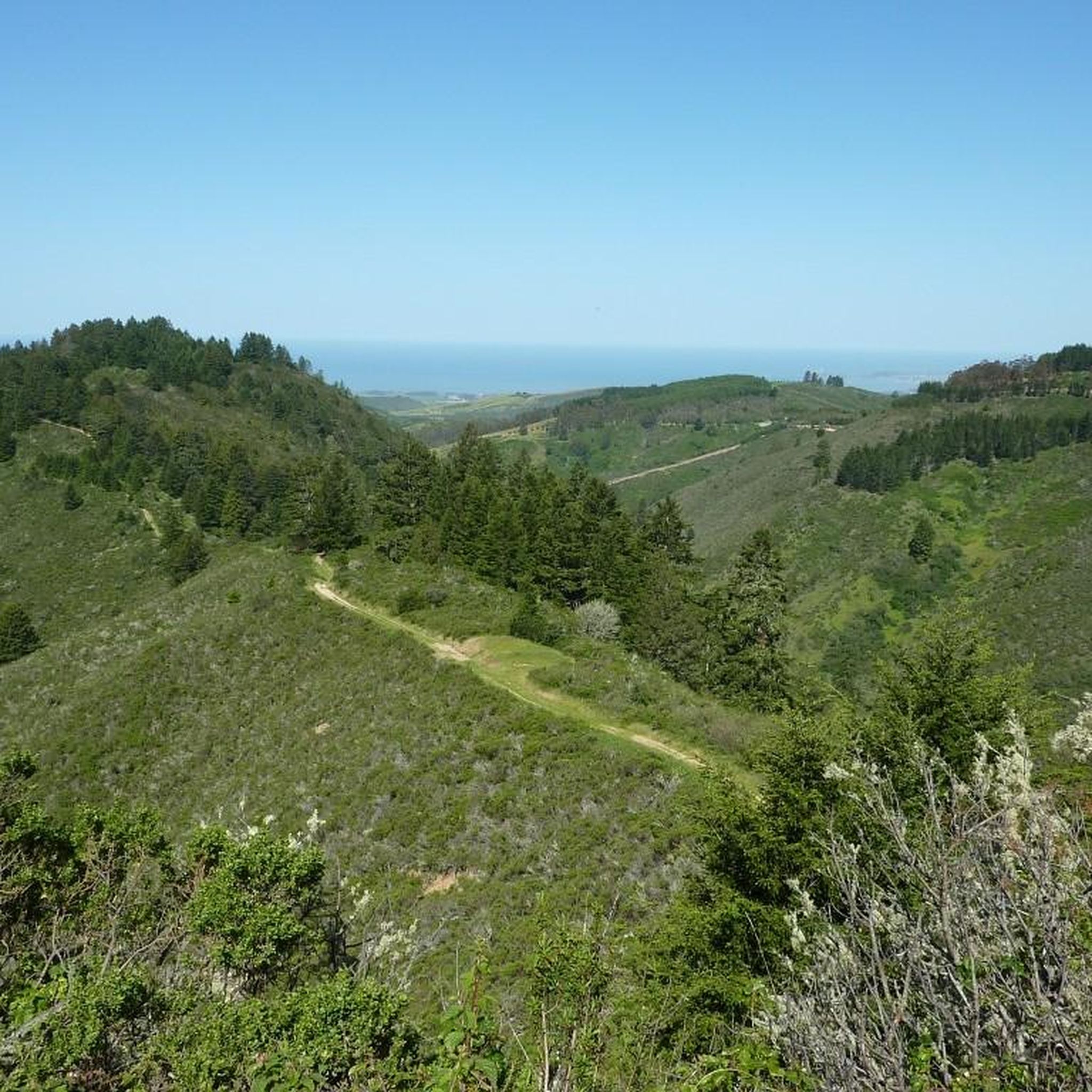
Hiking in La Honda Creek Open Space Preserve (Closed Areas)

MTB Trails in La Honda Creek Open Space Preserve (Closed Areas)
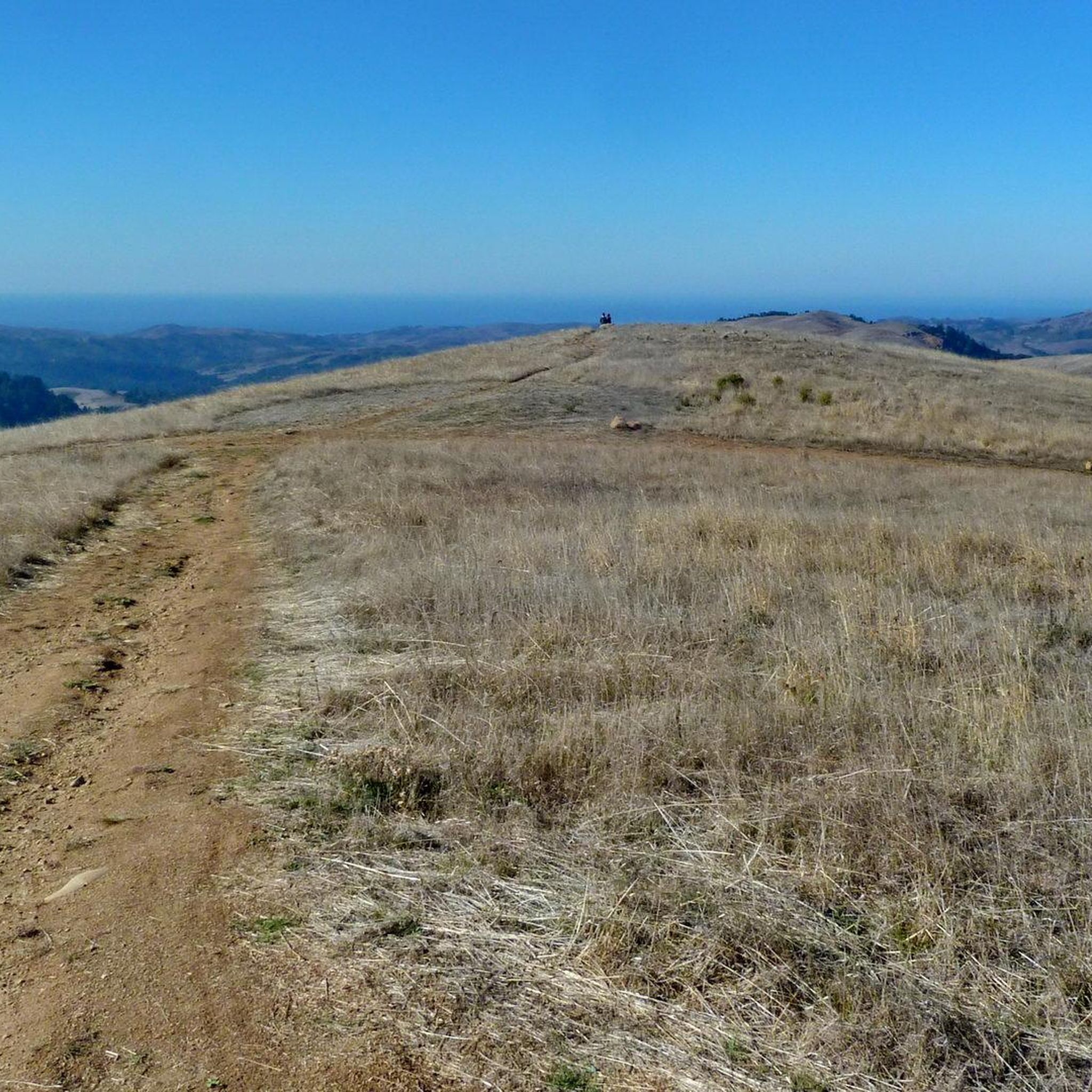
Road Cycling Routes in La Honda Creek Open Space Preserve (Closed Areas)
Running Trails in La Honda Creek Open Space Preserve (Closed Areas)
Gravel biking in La Honda Creek Open Space Preserve (Closed Areas)
Other adventures in La Honda Creek Open Space Preserve (Closed Areas)

Tips from the Community

Once upon a time this was the only general store in this area, serving not only as a general-purpose retailer but also the post office, bank, and informal dentist's office. Nowadays it's a museum, staffed by docents ready to offer drop-in history lessons.
0
0

Alise’s Restaurant is a popular spot for both cyclists and motorcyclists. The food is good, the staff is known for being friendly, and the place has a laid-back, welcoming vibe—perfect for a post-ride meal or coffee break.
1
0
This is where La Ronda Road meets Skyline Boulevard. After the climb, it’s the perfect place to recharge and grab something to eat at one of the nearby restaurants or grocery stores. Alise's Restaurant is a popular one.
0
0

Woodside Store was built back in the 1850s by two pioneers who came to California for the gold rush. At the time it was the only stagecoach stop between San Francisco and Santa Clara, and it carried all the essential items that travelers riding between cities might need. The store has been restored, inside and out, to look exactly as it did centuries ago. You can call the museum ahead of your trip to book tours.
0
0

Russian Ridge is an incredible 3,137-acre preserve that boasts a rich diversity of plants and wildlife, steep forested canyons, and grasslands, with abundant wildflowers in the spring. The open ridge tops provide breathtaking panoramic views of the Santa Cruz Mountains, the Bay Area, and the Pacific Ocean, making it one of the most scenic preserves in the area to enjoy a picturesque ride.
0
0

Great place for a break in a beautiful, peaceful spot among the redwoods. The restaurant is popular with locals, motorcyclists, hikers, and cyclists, and is the perfect place for a cold drink after finishing the climb up.
1
0

The Woodside Store, also known as Tripp Store, is located at 3300 Tripp Road at Kings Mountain Road in Woodside, San Mateo County, California. It has been listed on the National Register of Historic Places since 1985 and was designated a California Historical Landmark in 1949. The store's history dates back to October 1849 when Matthias Alfred Parkhurst purchased land in the area and began a shingle-making and lumber business with his partners, including Robert Orville Tripp. The store was established in 1853, originally serving the needs of lumbermen and settlers during the Gold Rush era. Dr. Tripp became the sole operator of the store after Parkhurst's death in 1863, running it until his own death in 1909. He was a well-known figure in Woodside, holding various public offices. The San Mateo County Historical Association acquired the store in the 1940s, and it was restored to its 1880s condition by 1994.
0
0
Frequently Asked Questions
What are the different difficulty levels for touring cycling routes in La Honda Creek Open Space Preserve?
La Honda Creek Open Space Preserve offers a range of touring cycling routes to suit various fitness levels. You'll find 2 easy routes, 18 moderate routes, and 21 difficult routes. The difficult routes often feature substantial climbs and can involve elevation gains of up to 1,500 feet.
Are there any notable landmarks or scenic viewpoints along the touring cycling routes?
Yes, touring cyclists can enjoy several scenic highlights. The preserve's open ridge tops provide breathtaking panoramic views of the Santa Cruz Mountains, the Bay Area, and the Pacific Ocean. The Cielo Trail leads to an impressive "Big Tree," one of the few remaining old-growth redwood trees. Additionally, trails like the Grasshopper Loop offer expansive viewpoints across coastal grasslands, oak woodlands, and redwood forests.
Do I need a permit to access touring cycling trails in La Honda Creek Open Space Preserve?
Some areas of La Honda Creek Open Space Preserve operate under a permit system, primarily to manage visitor impact and parking. These permits are often free and can be requested in advance. It's advisable to check the official preserve website before your visit for the most current permit requirements.
Where can I park when visiting La Honda Creek Open Space Preserve for touring cycling?
A primary access point for the lower sections of La Honda Creek Open Space Preserve is the Sears Ranch Road Parking Area. Due to limited parking in some areas, it's recommended to plan your visit, especially if a permit is required for specific sections.
What is the best time of year to go touring cycling in La Honda Creek Open Space Preserve?
The preserve is generally accessible year-round, but conditions can vary. Be aware that intermittent trail closures may occur for maintenance, weather conditions, or utility work. Spring and fall often offer pleasant temperatures and vibrant scenery, while summer can be warm. Always check for current trail conditions before heading out.
Are there family-friendly touring cycling routes in La Honda Creek Open Space Preserve?
While many routes offer challenging terrain, the preserve does have 2 easy routes that could be suitable for families or those looking for a less strenuous ride. The varied terrain, including existing ranch roads, provides options for different cycling preferences, with some routes featuring mostly paved surfaces.
Are there any circular touring cycling routes available in the preserve?
Yes, many of the touring cycling routes in La Honda Creek Open Space Preserve are designed as loops, allowing you to start and end at the same point. For example, the Skegg's Point – Morena Sierra loop from Woodside is a moderate 7.8-mile path that winds through varied terrain.
What do other touring cyclists enjoy the most about touring cycling in La Honda Creek Open Space Preserve?
The area is highly rated by the komoot community, with an average score of 4.8 stars from over 25 reviews. Reviewers often praise the diverse landscapes, including historic ranchlands, redwood forests, and open ridge tops, as well as the challenging and rewarding rides with significant elevation changes and panoramic views.
What kind of terrain can I expect on touring cycling routes in La Honda Creek Open Space Preserve?
The preserve offers diverse terrain, ranging from historic ranchlands and open rolling grasslands to oak woodlands and significant pockets of redwood forests. Many routes incorporate existing ranch roads, providing a mix of paved and unpaved surfaces. Expect elevation changes, as rides can feature up to 1,500 feet of climbing.
Are there any long-distance touring cycling routes that connect to other areas?
Yes, some routes extend beyond the immediate preserve boundaries, offering longer and more challenging rides. For instance, the Skeggs Point – San Gregorio State Beach loop from Huddart County Park is a difficult 52.8-mile route with over 5,800 feet of elevation gain, connecting the preserve area to the coast.
Can I find routes that are suitable for beginners in touring cycling?
While many routes are moderate to difficult, there are 2 easy routes available that could be suitable for beginners or those looking for a more relaxed touring cycling experience. These routes generally have less elevation gain and shorter distances.
What are some specific routes that offer good views or go through redwood forests?
For panoramic views, consider routes that traverse the open ridge tops. To experience redwood forests, look for trails that lead through the significant pockets of redwoods mentioned in the preserve's description. The Lower Kings Mountain Road – Manzanita Way loop from Woodside offers a moderate ride through varied landscapes that include forested sections.
Most popular routes in La Honda Creek Open Space Preserve (Closed Areas)

Get inspired with the komoot mobile app


Explore more
Browse the best Cycling routes in other regions.
