The best gravel rides in Iona Beach Regional Park
4.7
(8)
177
riders
4
rides
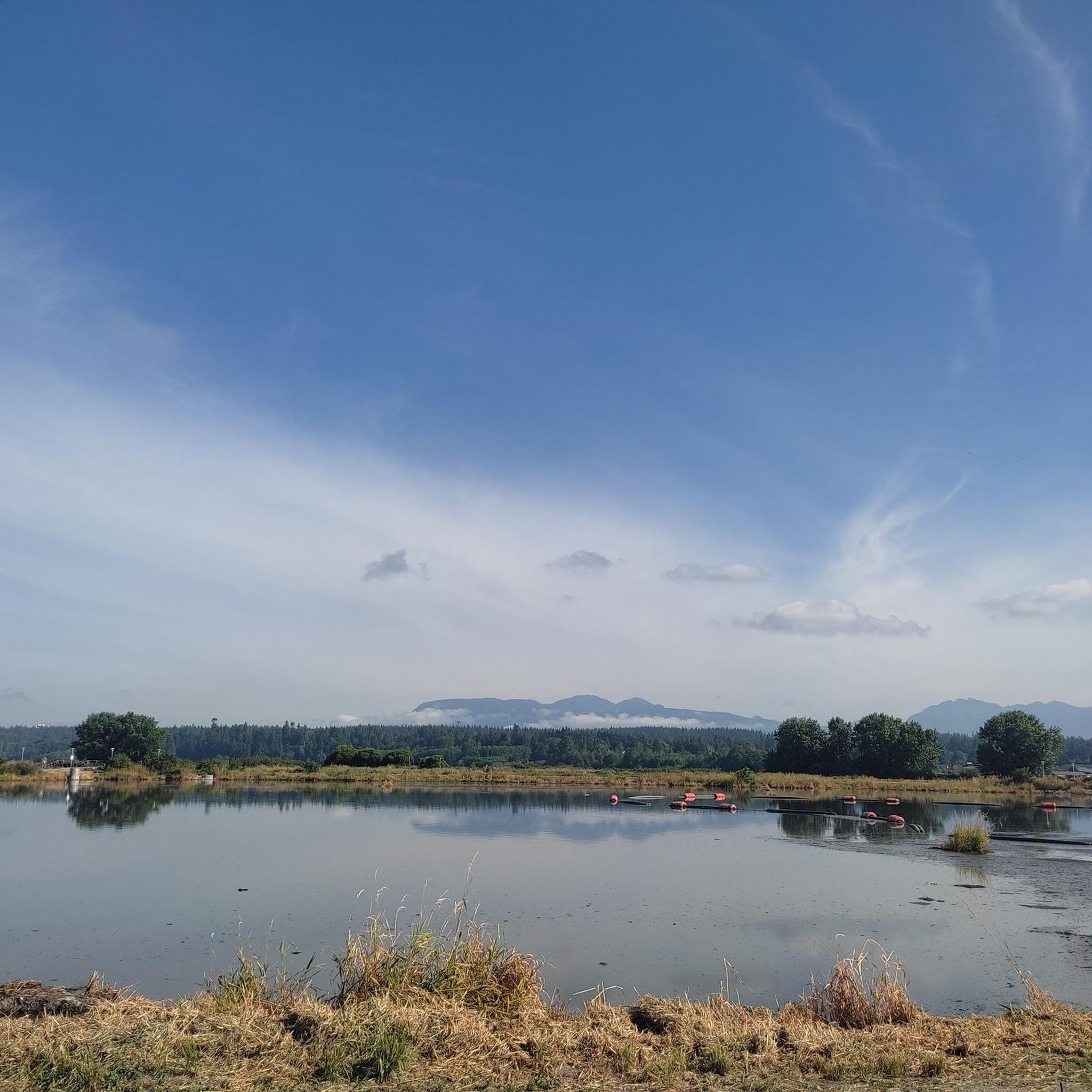
Gravel biking in Iona Beach Regional Park offers routes that traverse coastal areas and parkland, characterized by relatively flat terrain with some gentle elevation changes. The region provides opportunities for riding along the shoreline and through natural areas, often featuring views of the water. These trails are generally accessible, making them suitable for various skill levels.
Best gravel bike trails in Iona Beach Regional Park
- The most popular gravel bike trail is Clinton Trail loop from University of British Columbia…
Last updated: July 3, 2026
2
riders
9.06km
00:38
80m
80m
Easy gravel ride. Great for any fitness level. Mostly paved surfaces. Suitable for all skill levels.
5.0
(3)
5
riders
18.7km
01:08
170m
170m
Moderate gravel ride. Good fitness required. Mostly paved surfaces. Suitable for all skill levels.

Sign up for free
8
riders
24.9km
01:34
270m
270m
Moderate gravel ride. Good fitness required. Mostly paved surfaces. Suitable for all skill levels.
4.4
(5)
162
riders
36.7km
02:11
310m
310m
Moderate gravel ride. Good fitness required. Mostly paved surfaces. Suitable for all skill levels.
Our route recommendations are based on thousands of hikes, rides, and runs completed by other people on komoot.
Start today with a free account
Your next adventure awaits.
Login or Signup
Tips from the Community

As you follow this short flat section of the trail, you will be surrounded by a beautiful mix of tall deciduous and coniferous trees, including big leaf maples, towering red cedars, and ancient Douglas firs.
0
0
Here, the Sasamat Trail meets with the St. Georges Trail. Because the junction is located near the eastern edge of the park, it is highly accessible if you enter from the nearby neighborhood streets like 16th Avenue or Sasamat Street.
0
0
The landmark sits near SW Marine Drive, along the western edge of the park, and it honors the historic 1808 journey of explorer Simon Fraser and John Stuart, who traveled the great Fraser River all the way to the Pacific Ocean. From the monument area, you can look out toward the North Arm of the Fraser River and take in views of the natural landscape.
0
0

The Granville Island Public Market is located in the northern part of the peninsula. The market is open daily from 9:00 a.m. to 6:00 p.m. – until 7:00 p.m. during the summer months. The buildings of the Public Market once housed companies in the timber, mining, and shipping industries. https://granvilleisland.com/public-market https://granvilleisland.com/history/the-public-market
2
0

Granville Island is now a shopping and cultural district; the peninsula was previously an industrial area. The island takes its name from Granville George Leveson-Gower, 2nd Earl Granville, the British Colonial Secretary at the time of its first mapping.
1
0

Although Spanish seamen had noted the Fraser estuary in 1791, when Alexander Mackenzie reached the upper Fraser in 1793 on his way to the Pacific, he thought he was on the Columbia. Simon Fraser and John Stuart of the North West Company explored the river under the same misapprehension in 1808, realizing only when they reached the sea that two great river systems drained the north Pacific slope. Although the Fraser was not throughout its course a practical canoe route, the Hudson's Bay company integrated it into a new supply system when forced in 1848 to abandon the Columbia.
0
0

A good opportunity to buy fresh fruit, vegetables and fish.
1
0
Locarno Beach is one of the beaches that line English Bay in Vancouver. It is situated in the West Point Grey neighborhood, between Jericho Beach and the Spanish Banks beaches.
0
0
Frequently Asked Questions
What is the general difficulty level of gravel biking trails in Iona Beach Regional Park?
Gravel biking in Iona Beach Regional Park offers a range of difficulties. Most routes are considered easy to moderate, with one more challenging option. The terrain is generally flat with some gentle elevation changes, making it accessible for various skill levels.
What are the typical distances for gravel bike trails in Iona Beach Regional Park?
The trails vary in length, offering options for different preferences. For example, the Clinton Trail loop from University of British Columbia is about 5.6 miles (9.1 km), while the John Hendry Park – Central Valley Greenway loop from Yaletown–Roundhouse extends to over 31 miles (50 km).
Is there parking available for gravel bikers at Iona Beach Regional Park?
Yes, Iona Beach Regional Park typically offers designated parking areas for visitors. It's advisable to check the official park website or signage upon arrival for specific parking locations and any potential fees.
Are there family-friendly gravel biking options in Iona Beach Regional Park?
Absolutely. Many of the routes in Iona Beach Regional Park are suitable for families, especially those looking for a relaxed ride. The park's relatively flat terrain and coastal paths make it enjoyable for all ages. Consider routes categorized as 'easy' for the most family-friendly experience.
What are the best times of year for gravel biking in Iona Beach Regional Park?
The park is generally enjoyable year-round, but spring and fall offer pleasant temperatures and beautiful scenery. Summer can be warm, while winter rides are possible, though you might encounter cooler, wetter conditions. Always check local weather forecasts before heading out.
What kind of views and scenery can I expect along the gravel bike routes?
The routes in Iona Beach Regional Park are known for their coastal paths, offering expansive views of the water, including English Bay. You'll also ride through parkland and natural areas, providing a mix of open vistas and green spaces. Routes like the View of English Bay – Jericho Beach Park loop from West Point Grey specifically highlight these coastal views.
Can I spot wildlife while gravel biking in Iona Beach Regional Park?
Iona Beach Regional Park is a significant bird sanctuary and a great spot for birdwatching. Keep an eye out for various bird species, especially near the shoreline and wetlands. You might also encounter other small wildlife typical of coastal park environments.
Are there any circular gravel bike routes in Iona Beach Regional Park?
Yes, many of the gravel bike routes in the park are designed as loops, allowing you to start and end at the same point. For instance, the View of English Bay – Spanish Banks loop from West Point Grey is a popular circular option that takes you through coastal parkland.
What do other gravel bikers enjoy most about Iona Beach Regional Park?
The area is highly rated by the komoot community, with an average score of 4.6 stars. Reviewers often praise the park's accessible, relatively flat coastal paths, the beautiful views of English Bay, and the opportunity for relaxed rides suitable for various skill levels.
Are there any cafes or places to get refreshments near the gravel trails?
While Iona Beach Regional Park itself is primarily a natural area, there are cafes and amenities available in the nearby communities of Richmond and Vancouver, particularly closer to the University of British Columbia or West Point Grey areas, which serve as starting points for some routes.
How many gravel bike trails are available in Iona Beach Regional Park?
There are at least 5 gravel bike trails documented in Iona Beach Regional Park on komoot, offering a variety of distances and experiences for riders.
What are the trail conditions like for gravel biking in Iona Beach Regional Park?
The trails are generally well-maintained and suitable for gravel bikes. As they are coastal and parkland paths, conditions can vary with weather; expect some sections to be exposed to wind, and after rain, some areas might be softer. Always check recent conditions if possible.
Most popular routes in Iona Beach Regional Park

Get inspired with the komoot mobile app


Explore more
Browse the best Gravel rides in other regions.
