The best gravel rides in River Valley Area
4.1
(7)
103
riders
5
rides
Gravel biking in River Valley Area offers diverse landscapes characterized by riverine environments, extensive trail networks, and varied terrain. The region features paths that traverse along riverbanks, through forested sections, and over rolling hills. These routes provide opportunities to explore natural settings and open spaces, with options ranging from relatively flat sections to more challenging inclines. River valleys are formed by the erosive and depositional actions of rivers, leading to varied landscapes that include both lowlands and elevated areas.
Best…
Last updated: October 6, 2026
35
riders
50.8km
02:57
380m
380m
Moderate gravel ride. Good fitness required. Mostly paved surfaces. Suitable for all skill levels.
4.2
(5)
27
riders
Moderate gravel ride. Good fitness required. Mostly paved surfaces. Suitable for all skill levels.

4.0
(2)
21
riders
Hard gravel ride. Good fitness required. You may need to push your bike for some segments of this route.
11
riders
Moderate gravel ride. Good fitness required. Mostly paved surfaces. Suitable for all skill levels.
14
riders
34.3km
02:09
310m
310m
Moderate gravel ride. Good fitness required. Mostly paved surfaces. Suitable for all skill levels.
Our route recommendations are based on thousands of hikes, rides, and runs completed by other people on komoot.
Start today with a free account
Your next adventure awaits.
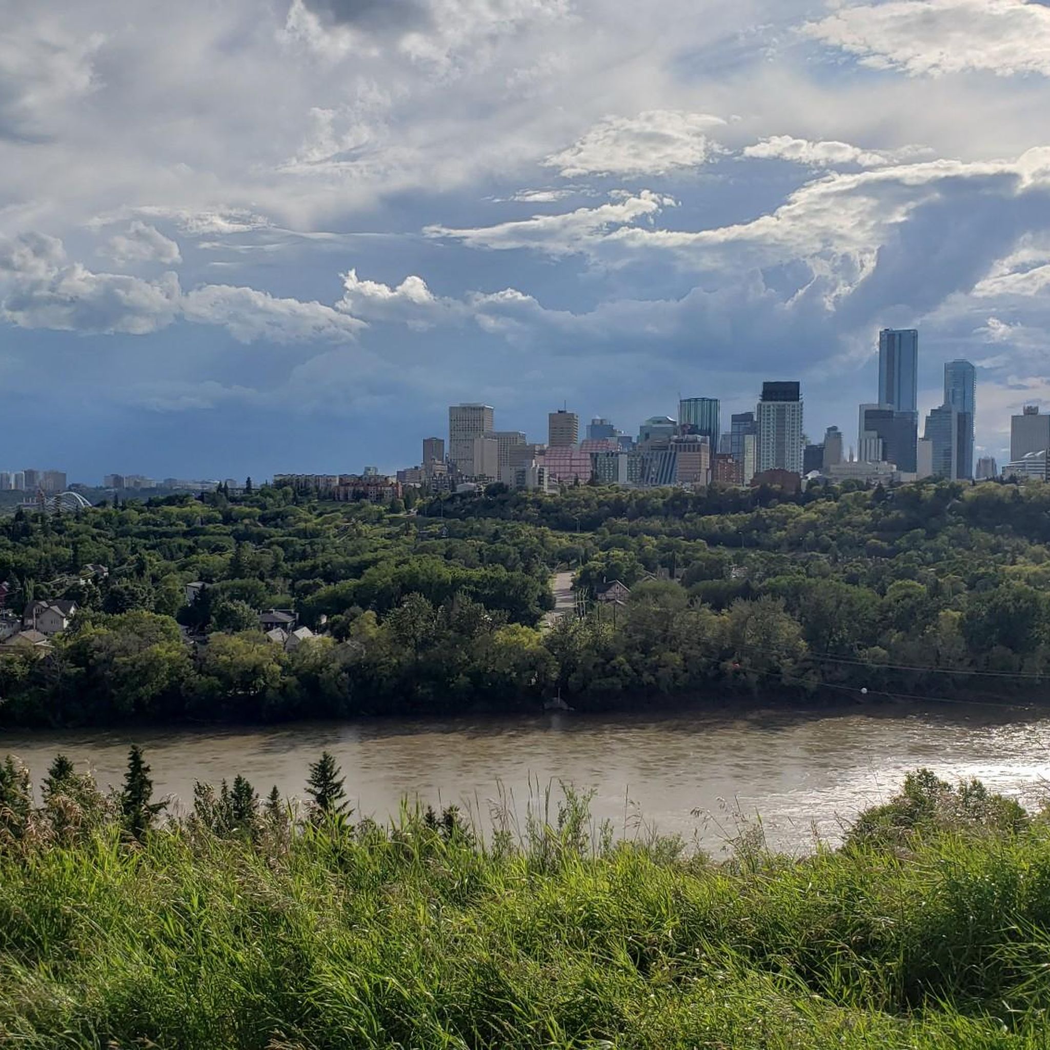
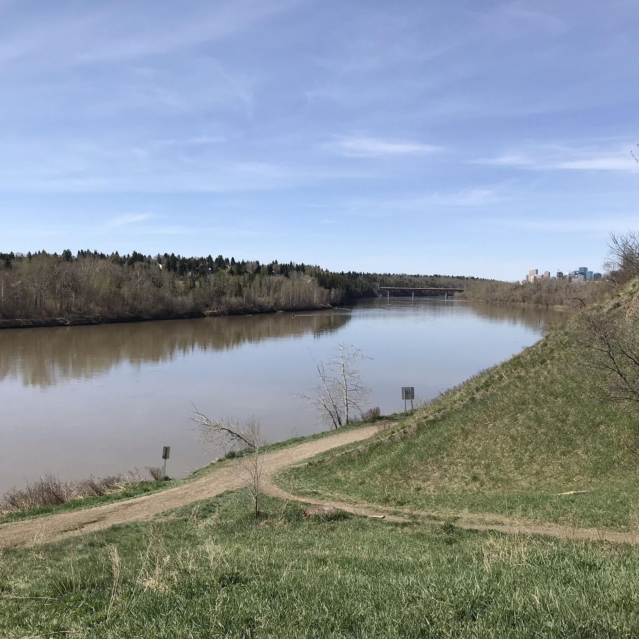
Other adventures in River Valley Area

Tips from the Community

Terwillegar Park Footbridge is the longest stressed ribbon bridge in Canada and the second longest such bridge in the entire world. Opened in 2016, it's 262 metres (860 ft) long and provides lovely views across the Saskatchewan River. The overall cost of the build was just less than $25 million.
1
0

Great for accessing Hawrelak Park and the UofA from the north side of the river.
0
0

Henrietta Muir Edwards Park is a beautiful river valley park set along the North Saskatchewan River, with a mix of open green space and mature forest. Paved and unpaved trails connect to the wider valley network, with viewpoints overlooking the river and access to nearby footbridges. The park also features a historic home linked to Henrietta Muir Edwards, adding cultural significance to its natural setting.
0
0
Emily Murphy Park, nestled along the south bank of the North Saskatchewan River, is a beautiful spot with picnic areas, a playground, a small boat launch, and open grassy areas that lead down toward the river. In winter, its toboggan hill becomes a local favourite, adding to its year-round appeal for families and casual outings.
0
0
Groat Bridge spans the North Saskatchewan River, carrying traffic and pedestrians between the river valley communities of Glenora and Mayfair. Opened in 1955, the twin-span structure offers fantastic elevated views of the surrounding parkland. Recent upgrades have widened its shared-use path, making it a key crossing for both commuters and recreational users.
0
0

The Ainsworth Dyer Memorial Bridge is a scenic crossing and a touch of local history. Named in honor of Ainsworth Dyer, a prominent figure in Edmonton’s community, the bridge connects trails on either side of the river, making it popular for walking, jogging, and cycling. From the bridge, you can enjoy sweeping views of the river valley and the surrounding parks.
0
0
Emily Murphy (1868-1933) was the first female police magistrate in the British Empire (1916). The City's Names Advisory Committee originally decided to name the park "Janey Canuck," Murphy's pen name, but Murphy's daughter convinced the committee to change the name before it went to City Council. Murphy was born in Ontario and came to Edmonton in 1907. Already a popular author, she lobbied for provisions in the Dower Act that entitled a woman to part of her husband's estate. She campaigned for female suffrage, and became a judge in 1916. Her efforts in the Persons Case, as part of the Famous five, saw women legally declared to be "persons," giving women the right to become members of the Senate. Emily Murphy Park is located in the river valley and has an area of 11 ha.
0
0
Henrietta Louise Edwards (née Muir), women’s rights activist, reformer, artist (born 18 December 1849 in Montreal, Canada East; died 9 November 1931 in Fort Macleod, AB). Henrietta Edwards fought from a young age for women’s rights and education, as well as women’s work and health. She helped establish many movements, societies and organizations aimed at improving the lives of women, and was instrumental in passing Alberta’s Dower Act in 1917. She was also one of the Famous Five behind the Persons Case, the successful campaign to have women declared persons in the eyes of British law. However, her views on immigration and eugenics have been criticized as racist and elitist. She was named a Person of National Historic Significance in 1962 and an honorary senator in 2009.
0
0
Frequently Asked Questions
How many gravel bike trails are there in River Valley Area?
The River Valley Area offers a diverse network of over 10 gravel bike trails. These routes cater to various skill levels, from moderate to more challenging, allowing you to explore the region's river paths, forested sections, and rolling hills.
What kind of terrain can I expect on gravel bike trails in the River Valley Area?
Gravel biking in the River Valley Area features diverse landscapes, including riverine environments, extensive trail networks, and varied terrain. You'll find paths traversing along riverbanks, through forested sections, and over rolling hills. Depending on the specific region within the River Valley, this can range from the extensive forest service roads of the Arkansas River Valley to the idyllic farm country and rugged climbs of the Susquehanna River Valley.
Are there options for beginner gravel bikers in the River Valley Area?
Yes, the River Valley Area offers routes suitable for beginners. For instance, the Holla Bend Wildlife Management Area in the Arkansas River Valley provides well-maintained, mostly flat gravel roads, ideal for those new to gravel biking. While our guide features routes with moderate to difficult ratings, you can find easier sections within the broader River Valley network.
What is the best time of year to go gravel biking in the River Valley Area?
The best time to go gravel biking often depends on the specific River Valley region. Generally, spring and fall offer pleasant temperatures and beautiful scenery. For example, the Susquehanna River Valley hosts its 'unPAved' event during the peak fall foliage season, highlighting the stunning autumn colors. Always check local weather conditions, as winter can bring challenging conditions, and summer might be very warm in some areas like the Arkansas River Valley.
Are there any challenging gravel routes for experienced riders?
Absolutely. The River Valley Area includes routes with significant elevation gain for experienced riders. For a challenging experience, consider the Terwillegar Park Footbridge – Fort Edmonton Footbridge loop from Riverbend, which is rated as difficult and features substantial climbs. The Soo River Valley in British Columbia is also known for its challenging gradients and spectacular views.
What scenic viewpoints or landmarks can I see along the gravel bike trails?
Many gravel routes in the River Valley Area offer scenic views and pass by interesting landmarks. You might encounter views of the Arkansas River, historic bridge crossings, or sweeping vistas of golden fields in the Susquehanna River Valley. Specific highlights include Constable Ezio Faraone Park, the High Level Bridge, and the Kâhasinîskâk Pedestrian Bridge. The Susquehanna River Valley also boasts natural wonders like Chickies Rock and Wind Cave.
Are there any circular gravel bike routes in the River Valley Area?
Yes, many of the gravel bike trails in the River Valley Area are designed as loops, offering convenient starting and ending points. A popular example is the Tawatina Bridge – Walterdale Bridge loop from South Campus/Fort Edmonton Park, which provides a comprehensive tour of the river valley landscapes.
What do other gravel bikers enjoy the most about gravel biking in River Valley Area?
The River Valley Area is highly rated by the komoot community, with an average score of 4.4 stars. Riders often praise the diverse terrain, the beautiful river valley landscapes, and the variety of routes available for different skill levels. The opportunity to explore natural settings and open spaces is a frequently highlighted aspect.
Are the gravel trails in River Valley Area dog-friendly?
While many outdoor areas in River Valley regions are dog-friendly, specific regulations can vary by park, trail, or wildlife management area. For example, the Holla Bend Wildlife Management Area in Arkansas allows for wildlife viewing, but it's always best to check local signage or the specific park's website for their pet policies before bringing your dog on a gravel biking adventure.
Are there family-friendly gravel biking options?
Yes, the River Valley Area offers family-friendly gravel biking options, particularly in regions with flatter, well-maintained paths. The Holla Bend Wildlife Management Area in the Arkansas River Valley, with its beginner-friendly gravel roads, is an excellent choice for families looking for a relaxed ride and opportunities to view wildlife. Always check the route's difficulty and length to ensure it suits all family members.
How long are the typical gravel bike trails in River Valley Area?
The length of gravel bike trails in the River Valley Area varies significantly. Our guide features routes ranging from approximately 25.5 miles (41.1 km) to 29.5 miles (47.6 km). However, the broader River Valley network, especially in areas like the Arkansas River Valley, boasts thousands of miles of forest service roads, offering options for shorter rides or extended multi-day adventures.
Is public transport available to access gravel bike trails in the River Valley Area?
Public transport access to gravel bike trails can vary greatly depending on the specific River Valley location. In some urban-adjacent River Valley areas, public transport might get you close to trailheads. However, many prime gravel biking spots, especially those in more remote national forests or wildlife areas, typically require personal vehicle access. It's advisable to research specific trailhead locations and local transport options beforehand.
Where can I find parking for gravel biking trailheads?
Parking availability for gravel biking trailheads in the River Valley Area depends on the specific route and location. Many popular trailheads, especially those near parks or designated recreational areas, will have dedicated parking lots. For example, routes like the Terwillegar Park Footbridge – Fort Edmonton Footbridge loop from Cameron Heights often have accessible parking nearby. Always check the starting point of your chosen route for specific parking information.
Most popular routes in River Valley Area
Most popular attractions in River Valley Area

Get inspired with the komoot mobile app


Explore more
Browse the best Gravel rides in other regions.
