The best road cycling routes in River Valley Area
4.3
(29)
1,072
riders
69
rides
Road cycling routes in River Valley Area feature a diverse topography, offering a mix of flat, rolling, and hilly terrain suitable for various skill levels. The region is characterized by its eponymous rivers, extensive forested areas, and agricultural landscapes, providing varied backdrops for rides. Dedicated cycling paths and scenic byways are common, often following river courses or traversing peaceful countryside. This blend of natural features creates a dynamic environment for road cyclists.
Best road cycling routes in River Valley Area
…Last updated: October 2, 2026
4.8
(14)
88
riders
45.1km
02:10
380m
380m
Moderate road ride. Good fitness required. Mostly well-paved surfaces and easy to ride.
49
riders
Moderate road ride. Good fitness required. Mostly well-paved surfaces and easy to ride.

5.0
(1)
60
riders
26.6km
01:13
180m
180m
Easy road ride. Great for any fitness level. Mostly well-paved surfaces and easy to ride.
31
riders
20.1km
01:00
200m
200m
Easy road ride. Great for any fitness level. Mostly well-paved surfaces and easy to ride.
33
riders
25.6km
01:17
230m
230m
Easy road ride. Great for any fitness level. Mostly well-paved surfaces and easy to ride.
Get access to more routes and recommendations from other explorers.
Already have an account?
Our route recommendations are based on thousands of hikes, rides, and runs completed by other people on komoot.
Start today with a free account
Your next adventure awaits.
Other adventures in River Valley Area

Tips from the Community

Terwillegar Park Footbridge is the longest stressed ribbon bridge in Canada and the second longest such bridge in the entire world. Opened in 2016, it's 262 metres (860 ft) long and provides lovely views across the Saskatchewan River. The overall cost of the build was just less than $25 million.
1
0

This large, riverside park has picnic areas, multi-use trails, and an off-leash dog area. One unique feature of the park is the gravel path designed with vision impaired visitors in mind. The flat gravel path has raised wooden edges which are easily detected with a walking cane, and 7 braille signs along the pathway.
0
0

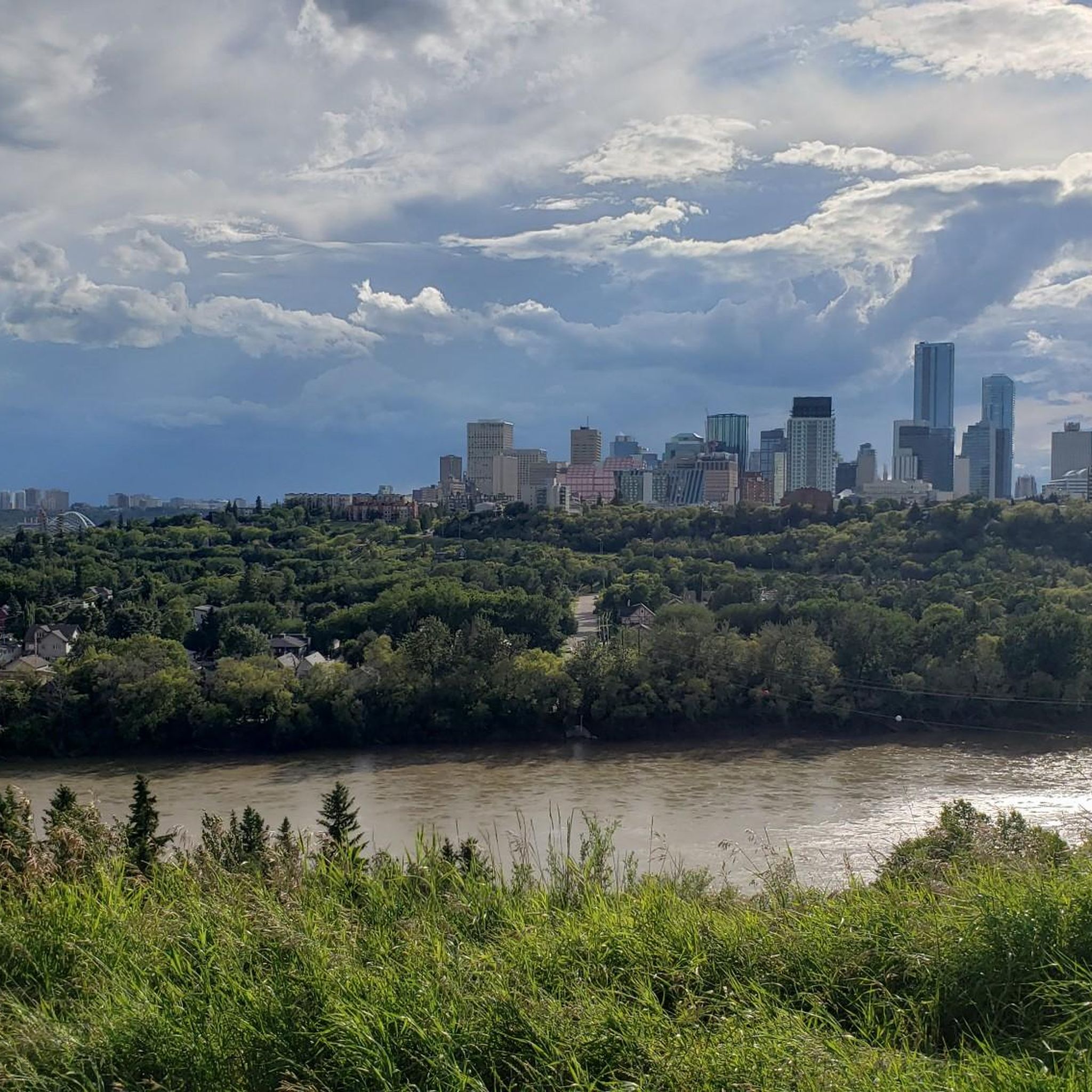
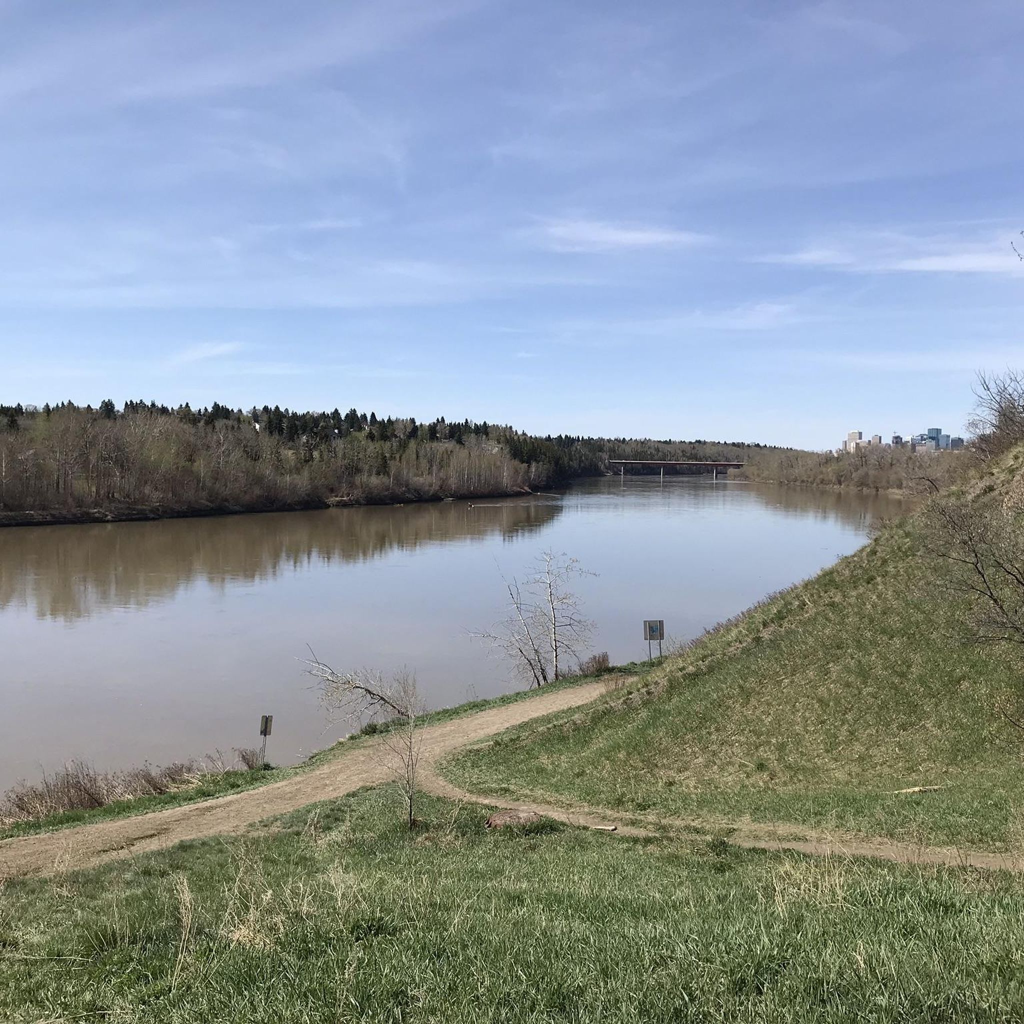
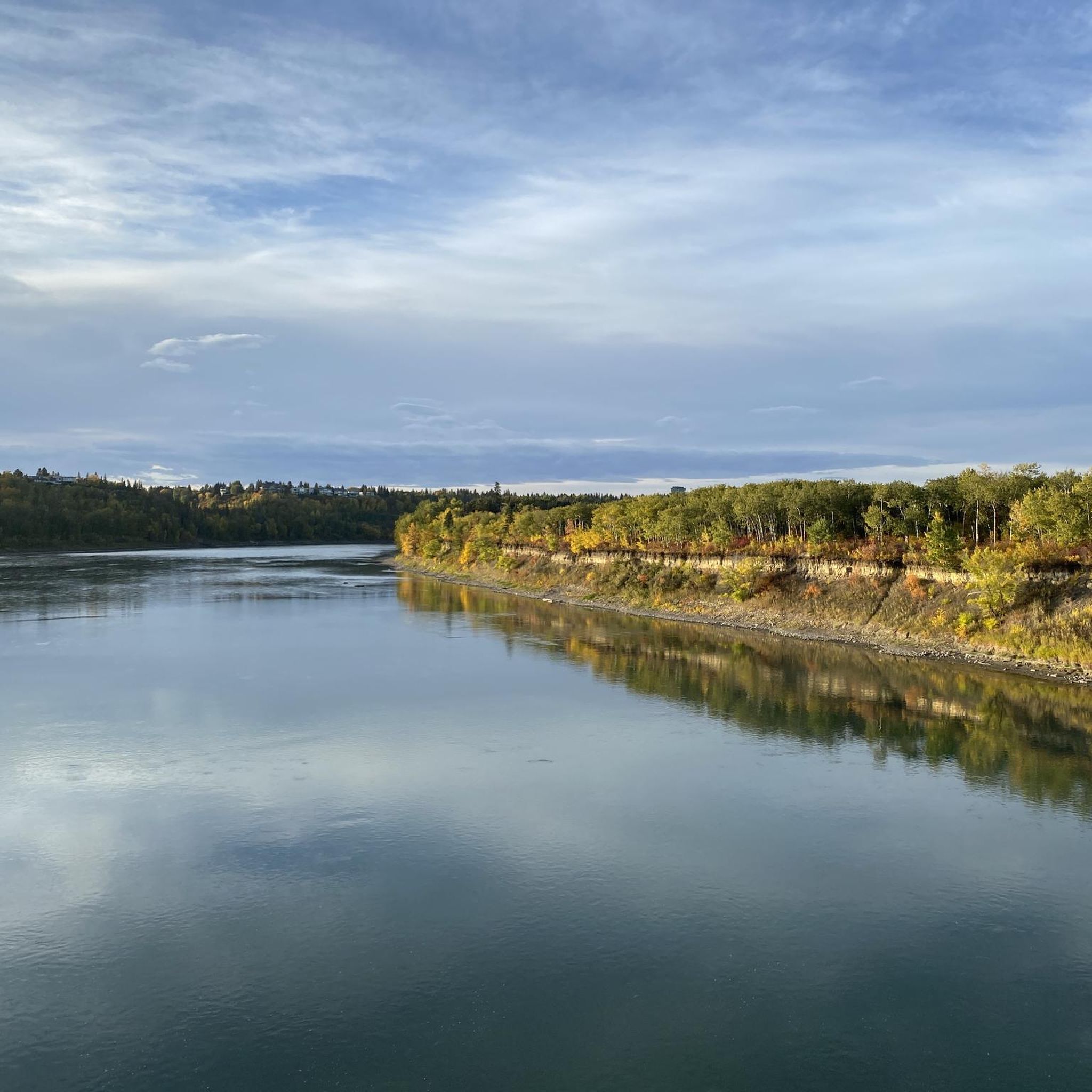
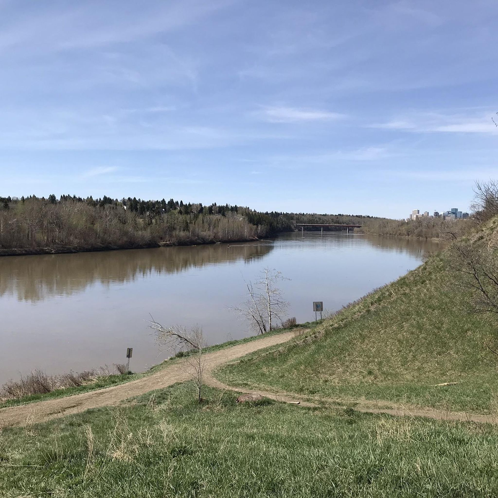
Flowing for more than 1,200 kilometres from the Columbia Icefield in the Canadian Rockies to central Saskatchewan, the North Saskatchewan River has shaped Edmonton's landscape for thousands of years. Here, the river winds through a broad valley lined with forests, and parkland, creating one of the largest urban river valley systems in North America. The constantly changing water levels, sandbars, and riverside habitat support a wide variety of wildlife and make the river the defining feature of this part of the city.
0
0

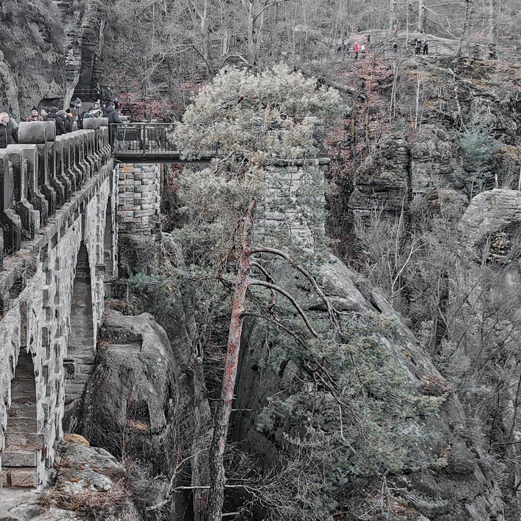
Mill Creek Ravine Bridge is a pedestrian bridge spanning Mill Creek, parallel to 76 Avenue Northwest. It is a relic of the Edmonton, Yukon and Pacific Railway line (EY&PR) running in the early 1900s. There are nice view from the top of the bridge of the river below, and great views of the bridge from the trails below the bridge.
0
0

Fun downhill and a good workout on the uphill. Much improved since it was an abandoned road full of potholes.
0
0
Great for accessing Hawrelak Park and the UofA from the north side of the river.
0
0
Frequently Asked Questions
How many road cycling routes are available in the River Valley Area?
The River Valley Area offers a wide selection of road cycling routes, with over 80 tours available on komoot. These routes cater to various skill levels, from easy rides to more challenging excursions.
What kind of terrain can I expect on road cycling routes in the River Valley Area?
The River Valley Area is known for its diverse topography, featuring a mix of flat sections, rolling hills, and some more challenging climbs. You'll find routes that traverse extensive forested areas, peaceful agricultural landscapes, and scenic paths alongside the eponymous rivers.
Are there any easy or beginner-friendly road cycling routes in the River Valley Area?
Yes, the River Valley Area has plenty of options for beginners and those looking for an easier ride. There are 35 easy routes available, many of which follow dedicated cycling paths or scenic byways. A good example is the Tawatina Bridge loop from University of Alberta, an easy 14.3-mile route through urban parklands and along the river.
Are there challenging road cycling routes for experienced cyclists?
Absolutely. For experienced cyclists seeking a challenge, the River Valley Area offers routes with more significant elevation changes. While most routes are moderate, there are 2 difficult routes available. The region's varied terrain, including some strenuous climbs through forests, provides ample opportunity for advanced riders.
What are some scenic viewpoints or natural attractions along the road cycling routes?
Road cycling in the River Valley Area offers numerous scenic views. You'll often ride alongside the river, through lush forests, and past charming farmland. Notable natural attractions include the picturesque Mill Creek Ravine and MacKenzie Ravine, which provide beautiful natural settings. Many routes also feature views of bridges like the High Level Bridge.
What do other road cyclists enjoy most about the River Valley Area?
The River Valley Area is highly rated by the komoot community, with an average score of 4.4 stars from over 30 reviews. Cyclists often praise the diverse scenery, the well-maintained paths, and the blend of riverine, forested, and agricultural landscapes that make each ride unique. The variety of routes catering to all skill levels is also frequently highlighted.
Are there any routes that pass by historical or cultural landmarks?
While the primary focus is natural beauty, the River Valley Area does have points of interest. For example, the John Janzen Nature Centre – Fort Edmonton Park loop from University offers varied scenery through parklands and along the river, potentially passing by cultural sites. The broader region is also known for unique historical features like covered bridges in some areas, which add a cultural touch to scenic tours.
What is the best time of year for road cycling in the River Valley Area?
The River Valley Area offers a dynamic backdrop for cycling throughout the year, with each season bringing its own unique beauty. Spring and autumn are particularly popular for their mild temperatures and vibrant foliage, while summer provides long daylight hours. Always check local weather conditions before heading out.
Are there any long-distance road cycling routes in the River Valley Area?
Yes, the River Valley Area offers several longer routes for those looking to spend more time on the road. For instance, the John Janzen Nature Centre – Fort Edmonton Park loop from University is a moderate 39.0-mile path, and the Tawatina Bridge – Wedgewood Ravine loop from Muttart covers 28.2 miles, both offering extended riding experiences.
Are there any loop trails for road cycling in the River Valley Area?
Many of the road cycling routes in the River Valley Area are designed as convenient loop trails, allowing you to start and end at the same point. Examples include the RiverSide 100 loop from Parkallen and the Tawatina Bridge loop from Strathcona, making planning your ride straightforward.
What kind of infrastructure is available for cyclists in the River Valley Area?
The River Valley Area benefits from dedicated cycling infrastructure, including rail trails and well-maintained scenic byways. These paths often follow river courses or traverse peaceful countryside, enhancing the safety and enjoyment of your ride. Organizations in the region actively support the development of interconnected bicycle and pedestrian trails.
Most popular routes in River Valley Area
Most popular attractions in River Valley Area

Get inspired with the komoot mobile app


Explore more
Browse the best Road cycling routes in other regions.
