The best gravel rides in Coquitlam Watershed
4.3
(56)
187
riders
8
rides
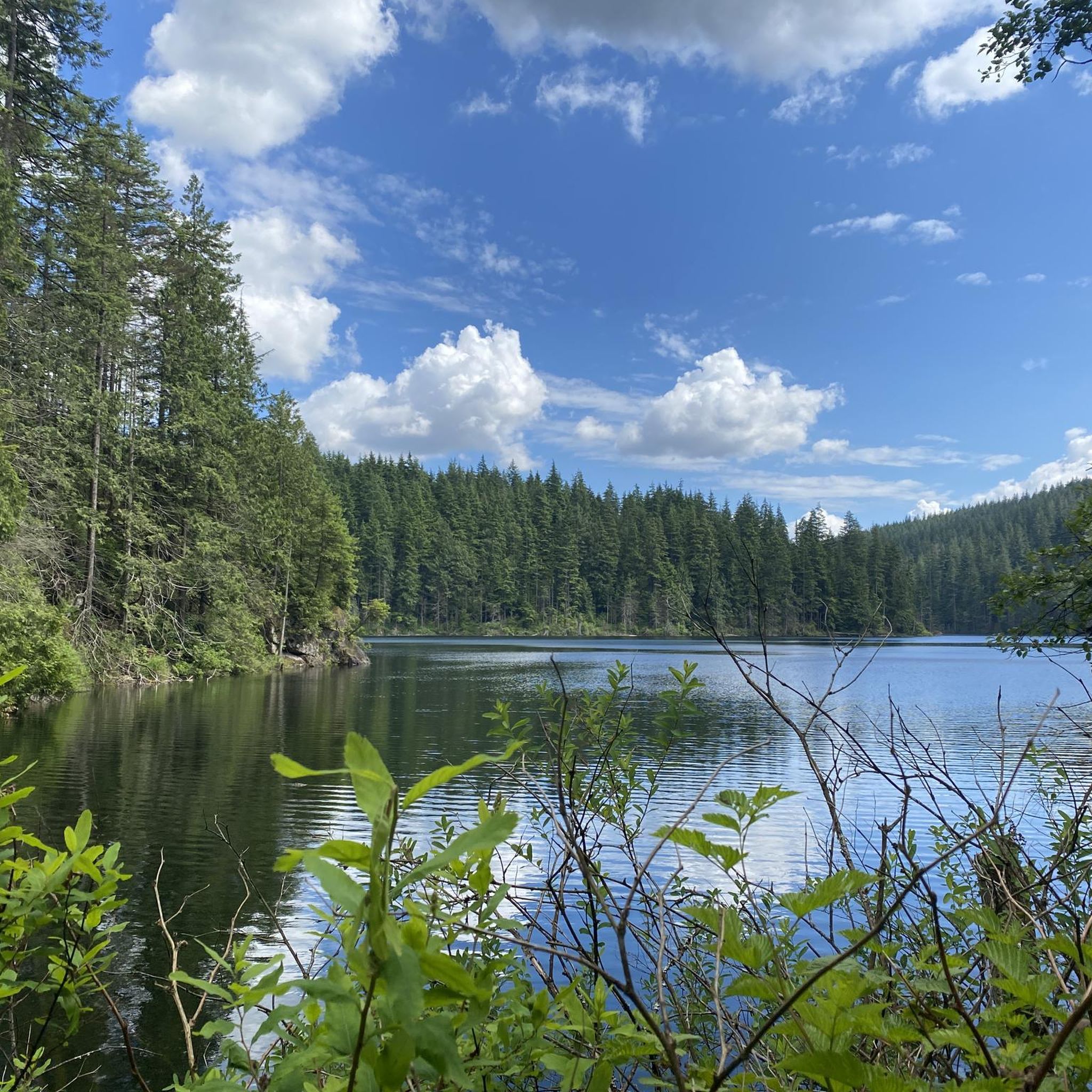
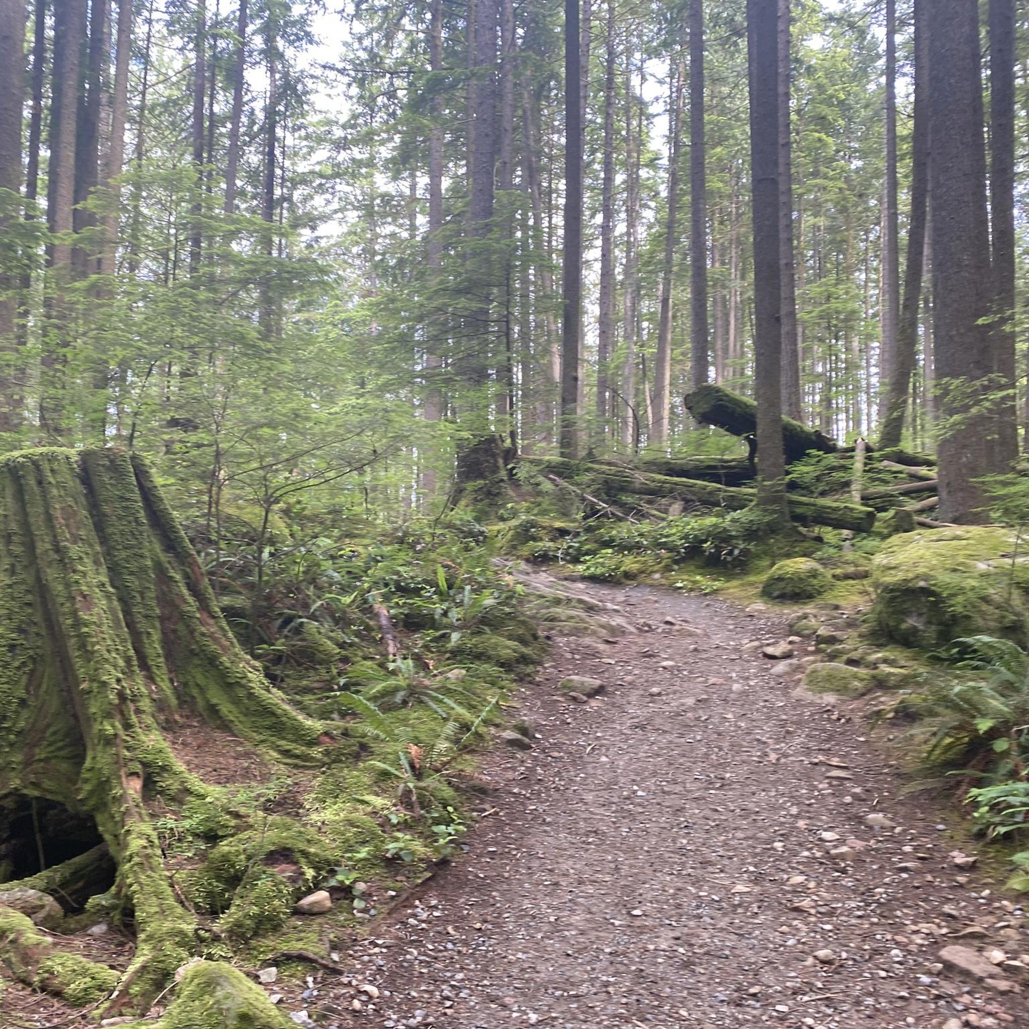
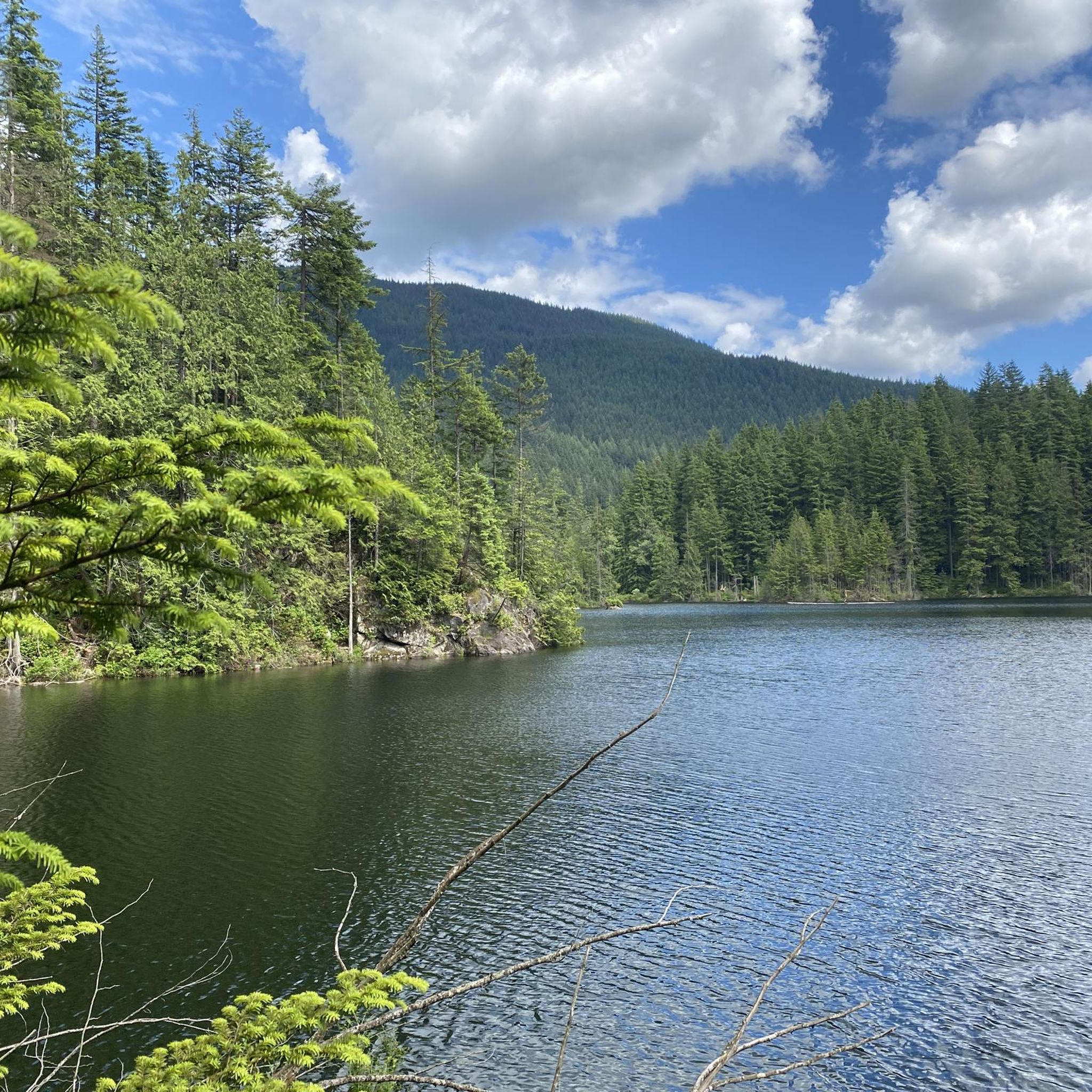
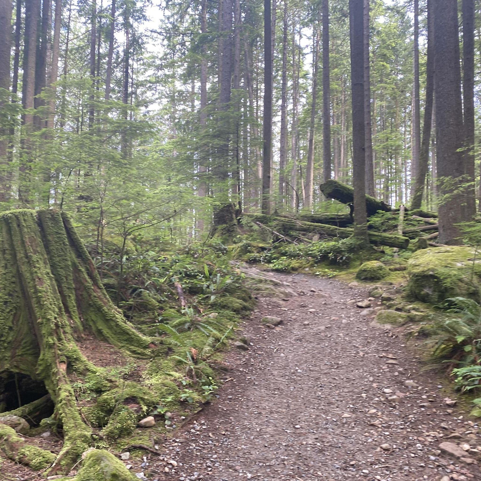
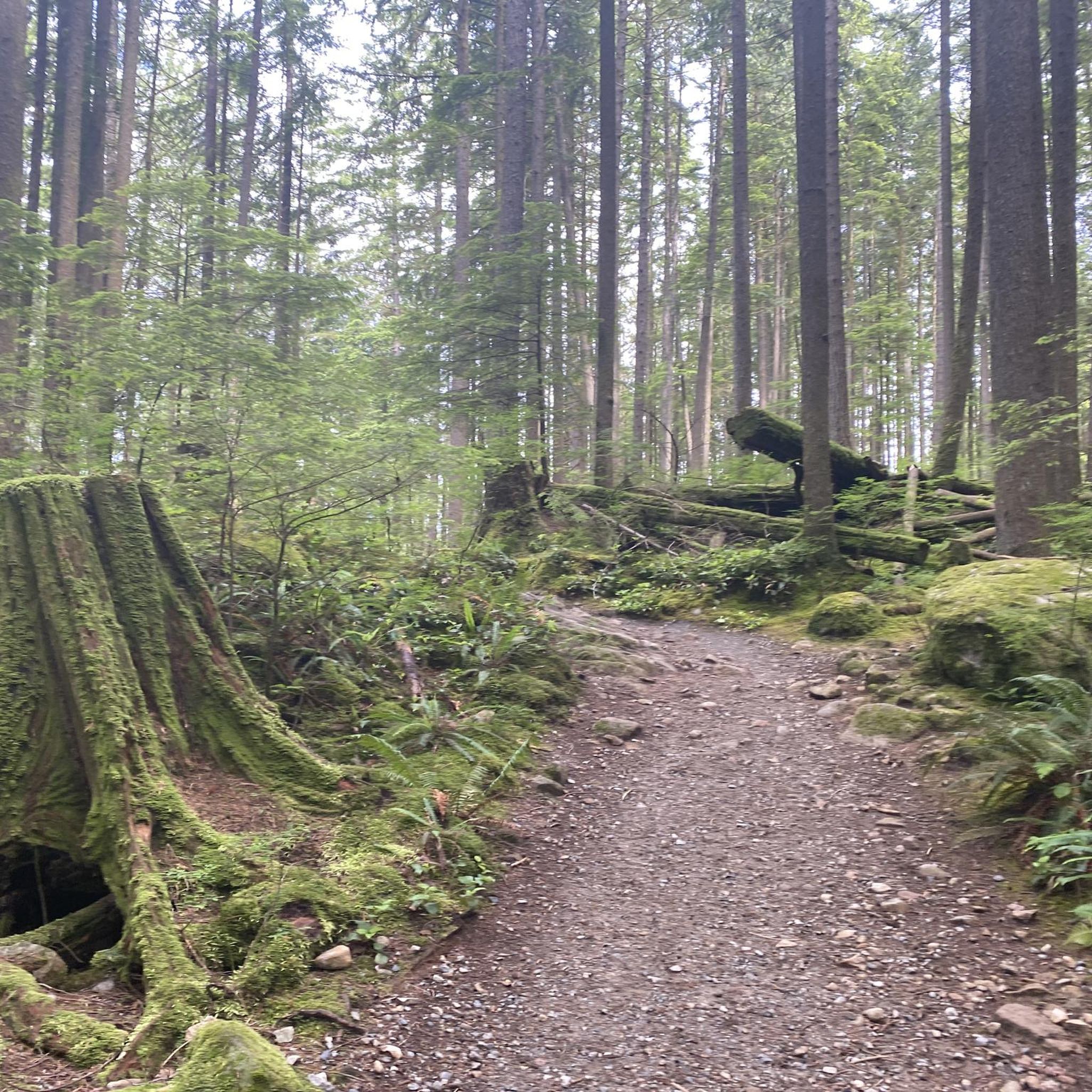
Gravel biking in Coquitlam Watershed offers diverse terrain, from flat paths along waterways to routes with significant elevation gain. The region is characterized by the Coquitlam River and its floodplains, extensive forested areas, and views of distant mountains. Riders can find a mix of gravel and paved sections, catering to various skill levels. This area provides a natural setting for outdoor activities, with trails winding through parks and along riverbanks.
Best gravel bike trails in Coquitlam Watershed
- The most popular gravel bike trail is View of Mount Baker – Hyde Creek Salmon Hatchery loop from Lafarge Lake–Douglas, a 23.4 miles (37.6 km) trail that takes 1 hour 54 minutes to complete. This route offers views of Mount Baker and passes by the Hyde Creek Salmon Hatchery.
- Another top favourite among local gravel bikers is Pitt River Bridge – Pitt River Dike Trail loop from Lafarge Lake–Douglas, a moderate 32.1 miles (51.6 km) path. This route follows the Pitt River Dike Trail, providing scenic views along the river.
- Local gravel bikers also love the Coquitlam River Park – Hyde Creek Salmon Hatchery loop from Lafarge Lake–Douglas, a 13.2 miles (21.3 km) trail leading through Coquitlam River Park, often completed in about 1 hour 42 minutes.
- Gravel biking in Coquitlam Watershed is defined by river floodplains, dense forested areas, and varied elevation changes. The network offers options for different ability levels, from easy riverside paths to more challenging routes.
- The routes in Coquitlam Watershed are highly rated by the komoot community with an average score of 4.5 stars from over 60 reviews. More than 200 gravel bikers have used komoot to explore Coquitlam Watershed's varied terrain.
Last updated: July 3, 2026
4.3
(44)
125
riders
Moderate gravel ride. Good fitness required. Mostly paved surfaces. Suitable for all skill levels.
5.0
(2)
29
riders
51.4km
02:38
140m
130m
Moderate gravel ride. Good fitness required. Mostly paved surfaces. Suitable for all skill levels.

Sign up for free
4.3
(6)
10
riders
22.9km
01:08
40m
40m
Easy gravel ride. Great for any fitness level. Mostly paved surfaces. Suitable for all skill levels.
3.0
(1)
6
riders
Easy gravel ride. Great for any fitness level. Mostly paved surfaces. Suitable for all skill levels.
5.0
(1)
17
riders
Easy gravel ride. Great for any fitness level. Mostly paved surfaces. Suitable for all skill levels.
Get access to more routes and recommendations from other explorers.
Sign up for free
Already have an account?
Our route recommendations are based on thousands of hikes, rides, and runs completed by other people on komoot.
Start today with a free account
Your next adventure awaits.
Login or Signup
Tips from the Community

This section of the Trans Canada Trail follows the wooded banks of the Coquitlam River through Coquitlam. The mostly gravel path runs through forested river habitat, offering a quiet stretch of trail where the sound of the river accompanies much of the walk. It’s a multi-use route popular with hikers, runners, and cyclists, and several bridges and viewpoints along the way provide good views over the river as it flows through the valley.
0
0

This beautiful river is a major tributary of the Fraser River that flows south from the Garibaldi Ranges, through Pitt Lake, before joining the Fraser River near Port Coquitlam. The lower stretches of the river are tidal, and the surrounding wetlands are home to a rich diversity of wildlife. The river also holds cultural significance for the Kwantlen First Nation, serving as a natural corridor that connects the coastal region with the interior of the province.
0
0
The Traboulay PoCo Trail is a beautiful multiuse 25.3-kilometer loop surrounding Port Coquitlam that winds through diverse landscapes including forest, marsh, riverfront, and urban areas, with fantastic views of the Pitt and Coquitlam Rivers along with abundant wildlife. The trail is mostly flat and well-maintained, with a mix of gravel and paved sections, and is an ideal location popular with walkers, runners, cyclists and families.
0
0

Dedicated in 2019 by the City of Port Coquitlam in recognition of Michael Forrest's contributions to the community and his service on City Council from 2000 to 2018 A third generation Fort Coquitlam resident, Michael has "cherished this view of the Fraser River his whole life, The rivers that were his playground as a child became his workplace as an -lt. Michael continues to be active in the community and can be seen regularly on the water,
0
0


Here you have a great view of the Coquitlam River, which is also the salmon spawning area.
0
0

Operated by volunteers. Usually open to the public on Saturday mornings.
0
0
The Pitt River Bridge is a cable-stayed bridge that spans the Pitt River between Port Coquitlam and Pitt Meadows in British Columbia, Canada.
0
0
Frequently Asked Questions
How many gravel bike trails are available in the Coquitlam Watershed area?
The Coquitlam Watershed region offers a network of 10 gravel bike trails, catering to various skill levels. Over 200 gravel bikers have used komoot to explore this area, highlighting its appeal for outdoor enthusiasts.
What kind of terrain can I expect on gravel bike trails in the Coquitlam Watershed?
You'll find a diverse range of terrain, from flat, well-maintained gravel paths along rivers to more challenging routes with significant elevation gains. Trails often wind through dense forested areas, offering views of distant mountains and waterways like the Coquitlam River. Many routes combine both gravel and paved sections.
Are there any easy gravel bike trails suitable for beginners or families?
Yes, there are several easy routes perfect for beginners or families. For instance, the Coquitlam River Park – Hyde Creek Salmon Hatchery loop from Lafarge Lake–Douglas is a 13.2-mile (21.3 km) trail that leads through Coquitlam River Park and is generally completed in about 1 hour 42 minutes. This area is known for its gentle riverside paths.
Are there any challenging gravel bike routes for experienced riders?
For more experienced riders seeking a challenge, the region offers routes with significant elevation changes. An example is the Port Moody Heron Rookery – Buntzen Lake Beach loop from Inlet Centre, which covers 30.9 miles (49.7 km) with over 500 meters of elevation gain, taking you near picturesque Buntzen Lake.
What are some notable natural features or viewpoints along the gravel bike trails?
Many trails offer scenic views and natural attractions. You can enjoy sweeping views of inlets and distant mountains, including Mount Baker, on routes like the View of Mount Baker – Hyde Creek Salmon Hatchery loop from Lafarge Lake–Douglas. The region also features the Coquitlam River, dense forests with old-growth trees, and picturesque lakes like Buntzen Lake.
Are there any circular gravel bike routes in the Coquitlam Watershed area?
Yes, many of the gravel bike trails in the Coquitlam Watershed are designed as loops, allowing you to start and end at the same point. Examples include the Pitt River Bridge – Pitt River Dike Trail loop from Lafarge Lake–Douglas and the PoCo Trail – Trans Canada Trail – Coquitlam loop from Lafarge Lake–Douglas, which offers a significant loop through the city and parks.
What is the best time of year for gravel biking in Coquitlam Watershed?
The Coquitlam Watershed area is enjoyable for gravel biking throughout much of the year. Spring and fall offer pleasant temperatures and vibrant scenery. While the Coquitlam River's flow changes seasonally, providing different experiences, summer generally offers gentler conditions. Winter rides are possible, but be prepared for potentially dynamic high river flows and cooler, wetter conditions.
What do other gravel bikers enjoy most about the Coquitlam Watershed?
The Coquitlam Watershed is highly rated by the komoot community, with an average score of 4.5 stars from over 60 reviews. Riders often praise the diverse terrain, the mix of gravel and paved sections, and the natural setting that winds through parks and along riverbanks, offering options for all ability levels.
Are there any specific wildlife viewing opportunities along the trails?
The region is home to various wildlife. The Coquitlam River and its side channels are important habitats for Pacific salmonids, particularly chum and coho salmon. While less common, black bears may also be encountered in parks like Coquitlam River Park, adding a wilderness element to your ride.
Is public transport or parking available near the gravel bike trailheads?
While specific parking and public transport details for each trailhead vary, many routes, such as those starting from Lafarge Lake–Douglas, are accessible within the broader Coquitlam area, which typically offers public transport connections and designated parking areas. It's advisable to check specific route starting points for detailed access information.
Most popular routes in Coquitlam Watershed

Get inspired with the komoot mobile app


Explore more
Browse the best Gravel rides in other regions.
