The best cycling routes in Coquitlam Watershed
4.4
(164)
1,061
riders
34
rides
Touring cycling routes in Coquitlam Watershed traverse a landscape characterized by its proximity to urban areas while offering access to natural features. The region includes parks, greenways, and areas around creeks and waterways. Terrain varies from relatively flat paths along water bodies to more undulating sections near residential areas and hills like Eagle Ridge.
Best touring cycling routes in Coquitlam Watershed
- The most popular touring cycling route is Port Moody Heron Rookery – Hoy Creek Salmon Hatchery loop from Coquitlam, a 15.4 miles (24.8 km) trail that takes 1 hour 49 minutes to complete. This route connects natural habitats with urban areas.
- Another top favourite among local touring cyclists is Hoy Creek Salmon Hatchery – Goody's Convenience loop from Bert Flinn Park, a moderate 8.3 miles (13.3 km) path. This trail offers a mix of parkland and local amenities.
- Local touring cyclists also love the Goody's Restaurant loop from Eagle Ridge, a 10.6 miles (17.1 km) trail leading through varied terrain, often completed in about 1 hour 23 minutes.
- Touring cycling in Coquitlam Watershed is defined by its network of trails connecting parks, creeks, and residential areas. The network offers options for different ability levels, from easy rides to more advanced touring bike trails.
- The routes in Coquitlam Watershed are highly rated by the komoot community with an average score of 4.4 stars from over 150 reviews. More than 1000 touring cyclists have used komoot to explore Coquitlam Watershed's varied terrain.
Last updated: July 5, 2026
3
riders
12.6km
00:59
300m
300m
Moderate bike ride. Good fitness required. Mostly paved surfaces. Suitable for all skill levels.
4.5
(2)
4
riders
17.7km
01:26
520m
530m
Hard bike ride. Very good fitness required. Mostly paved surfaces. Suitable for all skill levels.

Sign up for free
12
riders
81.0km
05:34
1,300m
1,300m
Hard bike ride. Very good fitness required. Mostly paved surfaces. Suitable for all skill levels.
4.8
(4)
54
riders
Easy bike ride. Great for any fitness level. Mostly paved surfaces. Suitable for all skill levels.
4.0
(4)
26
riders
59.6km
04:45
150m
150m
Moderate bike ride. Good fitness required. Mostly paved surfaces. Suitable for all skill levels.
Get access to more routes and recommendations from other explorers.
Sign up for free
Already have an account?
Our route recommendations are based on thousands of hikes, rides, and runs completed by other people on komoot.
Start today with a free account
Your next adventure awaits.
Login or Signup
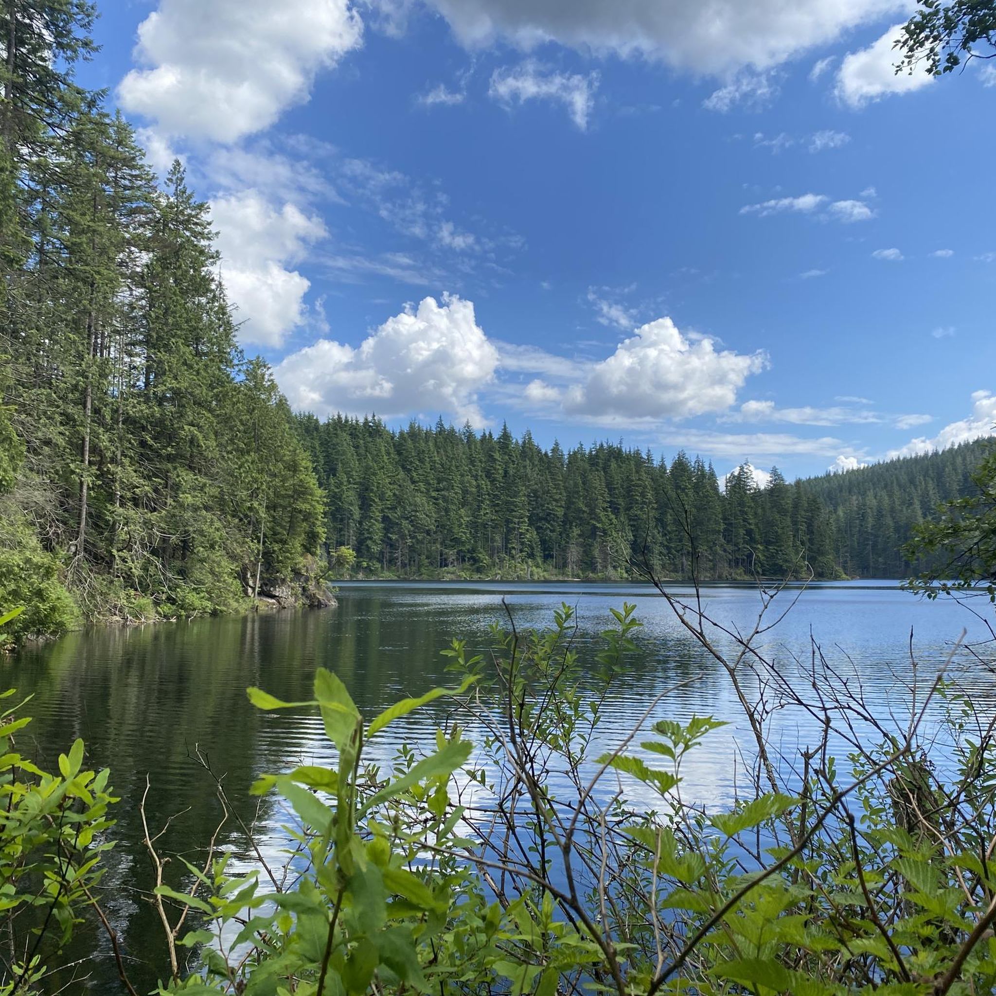
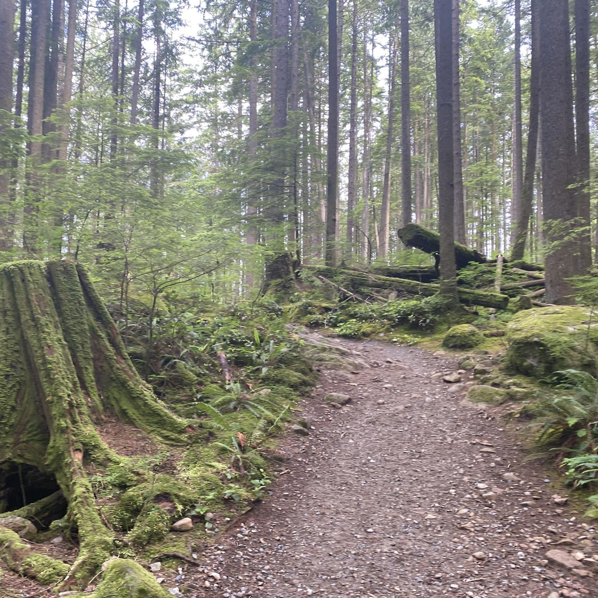
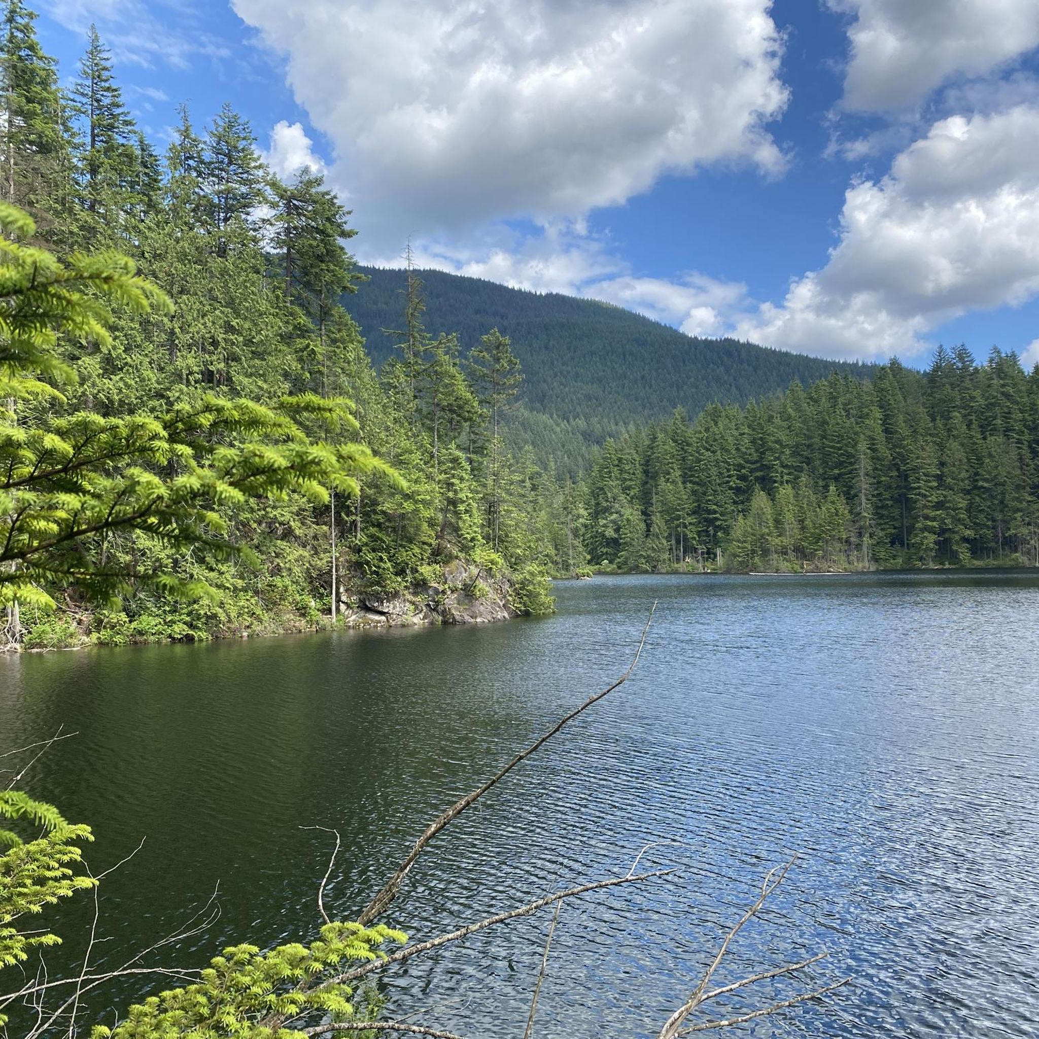

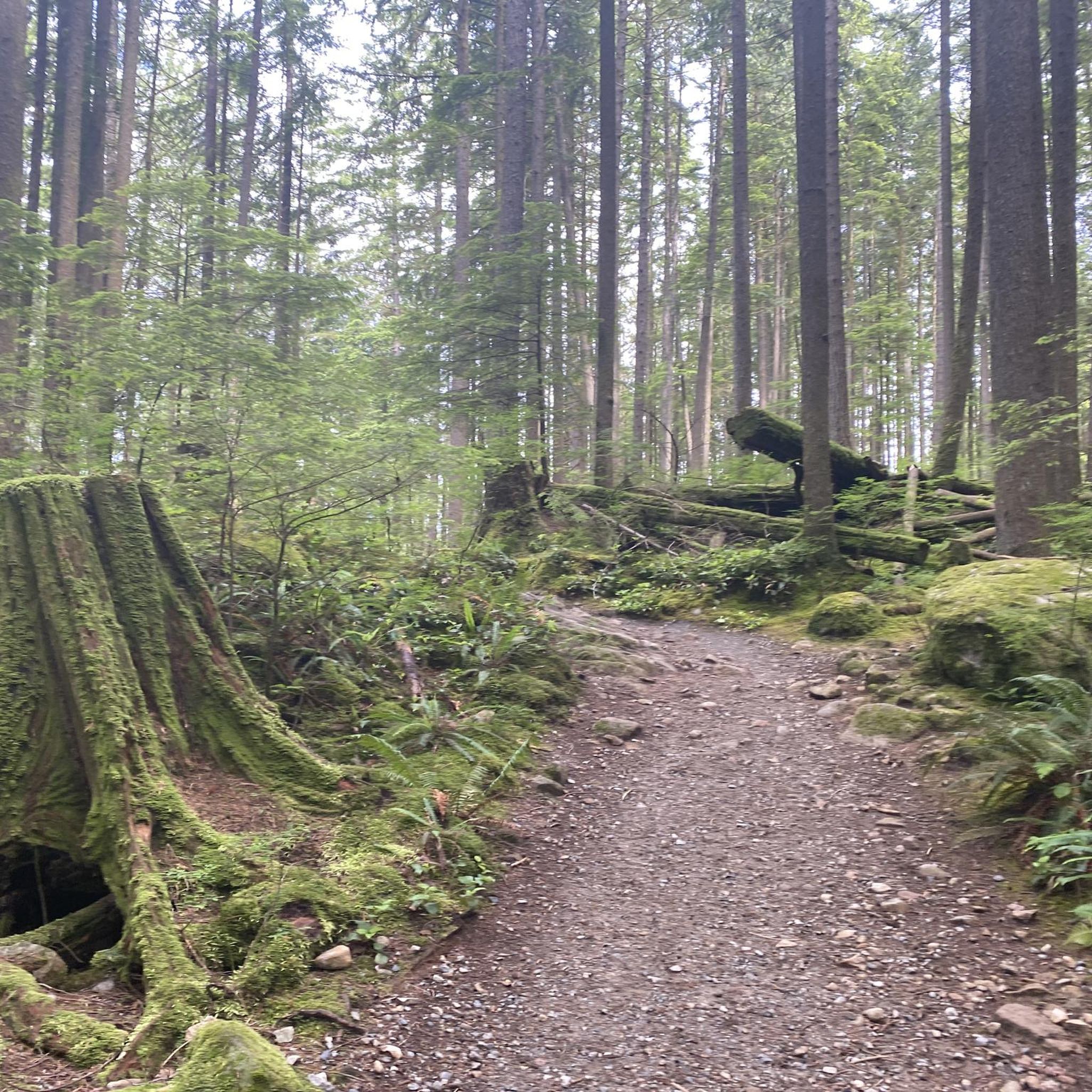
Tips from the Community

You can walk down from the parking lot to a lookout point that peers between the treetops in the direction of Port Moody. The lookout is right along the road but separated from traffic by barricading.
0
0
Also known as the Harry Jerome Sports Centre, you can play volleyball here and the indoor cycling track has an incredible banked wooden oval. If it's open, the velodrome is well worth a step inside to see the cycling track if nothing else.
0
0

This wide, gravel trail winds along West Noons Creek and between a couple of neighbourhoods. It's a popular multi-use trail so expect to share the path with hikers, trails runners, and mountain bikers. There are some small mountain bike features built on the side of the trail, so be sure to keep an eye out for fast moving bikers when approaching them.
0
0

This section of the Trans Canada Trail follows the wooded banks of the Coquitlam River through Coquitlam. The mostly gravel path runs through forested river habitat, offering a quiet stretch of trail where the sound of the river accompanies much of the walk. It’s a multi-use route popular with hikers, runners, and cyclists, and several bridges and viewpoints along the way provide good views over the river as it flows through the valley.
0
0

The Traboulay PoCo Trail is a beautiful multiuse 25.3-kilometer loop surrounding Port Coquitlam that winds through diverse landscapes including forest, marsh, riverfront, and urban areas, with fantastic views of the Pitt and Coquitlam Rivers along with abundant wildlife. The trail is mostly flat and well-maintained, with a mix of gravel and paved sections, and is an ideal location popular with walkers, runners, cyclists and families.
0
0

On the east side of the bridge’s northern end, near the base of the bridge is a memorial to honor 27 workers who lost their lives on June 17, 1958, when a section of the original Second Narrows Bridge collapsed during construction.
0
0

A nice monument to workers who lost their lives.
0
0
Frequently Asked Questions
How many touring cycling routes are available in Coquitlam Watershed?
The Coquitlam Watershed offers a diverse network of over 35 touring cycling routes. These routes cater to various skill levels, with options ranging from easy, family-friendly rides to more challenging excursions.
What are the difficulty levels of touring cycling routes in Coquitlam Watershed?
Routes in the Coquitlam Watershed are categorized by difficulty. You'll find approximately 15 easy routes, 13 moderate routes, and 11 difficult routes. For a challenging ride, consider the Goody's Restaurant loop from Eagle Ridge, which features significant elevation changes.
Are there any family-friendly touring cycling routes in the Coquitlam Watershed?
Yes, the Coquitlam Watershed has several family-friendly options, particularly among its easy routes. These often follow flatter paths along waterways and through parks, providing a pleasant experience for all ages. Look for routes with lower elevation gain and shorter distances.
Are there circular touring cycling routes in Coquitlam Watershed?
Many of the touring cycling routes in Coquitlam Watershed are designed as loops, allowing you to start and end at the same point. A popular example is the Port Moody Heron Rookery – Hoy Creek Salmon Hatchery loop from Coquitlam, which offers a comprehensive tour of natural and urban areas.
What is the best time of year to go touring cycling in Coquitlam Watershed?
The Coquitlam Watershed is enjoyable for touring cycling for much of the year. Spring and fall offer pleasant temperatures and vibrant scenery. Summer is also popular, though some routes may be busier. Winter cycling is possible, but be prepared for cooler temperatures and potentially wet conditions, especially on unpaved sections.
What kind of terrain can I expect on touring cycling routes in Coquitlam Watershed?
The terrain in Coquitlam Watershed is varied. You'll encounter relatively flat paths along creeks and greenways, as well as more undulating sections near residential areas and hills like Eagle Ridge. Routes often combine paved sections with well-maintained gravel paths, traversing parks and connecting urban fringes with natural spaces.
What do other touring cyclists enjoy most about touring cycling in Coquitlam Watershed?
The Coquitlam Watershed is highly rated by the komoot community, with an average score of 4.4 stars from over 150 reviews. Cyclists often praise the region's ability to connect natural habitats with urban amenities, offering a diverse experience that includes parks, greenways, and scenic waterways.
Are there any long-distance touring cycling routes in the Coquitlam Watershed?
Yes, for those seeking longer rides, the Coquitlam Watershed offers several extended routes. For instance, the Hoy Creek Salmon Hatchery – Frances–Union Bike Route loop from Lafarge Lake–Douglas covers over 60 kilometers, providing a substantial touring experience.
Can I access touring cycling routes in Coquitlam Watershed using public transport?
Many routes in the Coquitlam Watershed are accessible via public transport, particularly those starting or passing through urban centers like Coquitlam and Port Moody. Check local transit schedules and bike-on-bus/train policies for the most convenient access points.
Are there any amenities like cafes or shops along the touring cycling routes?
Given the region's proximity to urban areas, many routes in the Coquitlam Watershed pass near or through residential zones where you can find cafes, convenience stores, and other amenities. For example, the Hoy Creek Salmon Hatchery – Goody's Convenience loop from Bert Flinn Park is known for its mix of parkland and local amenities.
What kind of wildlife might I encounter while cycling in Coquitlam Watershed?
The Coquitlam Watershed is home to various wildlife, especially in areas around creeks, greenways, and parks. You might spot birds, including herons near rookeries, and other small mammals. Always maintain a respectful distance and avoid disturbing natural habitats.
Where can I park my car to access touring cycling routes in Coquitlam Watershed?
Parking is generally available at various parks and community centers that serve as trailheads for the touring cycling routes. Look for designated parking areas near popular starting points like Bert Flinn Park or Lafarge Lake–Douglas, which often provide convenient access to the trail network.
Most popular routes in Coquitlam Watershed

Get inspired with the komoot mobile app


Explore more
Browse the best Cycling routes in other regions.
