The best running trails in Coquitlam Watershed
3.8
(4)
1,212
runners
78
runs
Jogging in Coquitlam Watershed offers a diverse range of routes through varied terrain. The region is characterized by extensive forests, prominent lakes, and undulating hills, providing a natural setting for running. Trails often feature views of water bodies and dense woodlands, with some routes incorporating significant elevation changes. This area provides a mix of paths suitable for different fitness levels.
Best jogging routes in Coquitlam Watershed
- The most popular jogging route is Buntzen Lake Suspension Bridge – Buntzen Lake loop from Buntzen Lake Recreation Area, a 22.2 miles (35.7 km) trail that takes 5 hours 9 minutes to complete. This route features a suspension bridge and extensive lake views.
- Another top favourite among local runners is Buntzen Lake – Floating Bridge loop from Bunzten Lake Recreation Area, a difficult 9.8 miles (15.8 km) path. This trail offers significant elevation gain and views of Buntzen Lake.
- Local runners also love the Lafarge Lake loop from Coquitlam, a 3.5 miles (5.6 km) trail leading through parkland around Lafarge Lake, often completed in about 34 minutes.
- Jogging in Coquitlam Watershed is defined by its lakes, dense woodlands, and rolling hills. The network offers options for different ability levels, from easy lakeside paths to challenging uphill running routes.
- The routes in Coquitlam Watershed are highly rated by the komoot community with an average score of 3.8 stars from 4 reviews. More than 1200 runners have used komoot to explore Coquitlam Watershed's varied terrain.
Last updated: July 5, 2026
87
runners
35.9km
05:12
1,210m
1,210m
Hard run. Very good fitness required. Sure-footedness, sturdy shoes and alpine experience required.
41
runners
15.7km
02:33
660m
660m
Hard run. Very good fitness required. Sure-footedness, sturdy shoes and alpine experience required.

Sign up for free
14
runners
8.45km
01:34
480m
480m
Hard run. Very good fitness required. Sure-footedness, sturdy shoes and alpine experience required.
10
runners
12.5km
01:21
210m
220m
Moderate run. Good fitness required. Mostly paved surfaces. Suitable for all skill levels.
9
runners
9.74km
01:04
190m
190m
Moderate run. Good fitness required. Mostly paved surfaces. Suitable for all skill levels.
Get access to more routes and recommendations from other explorers.
Sign up for free
Already have an account?
Our route recommendations are based on thousands of hikes, rides, and runs completed by other people on komoot.
Start today with a free account
Your next adventure awaits.
Login or Signup

Tips from the Community

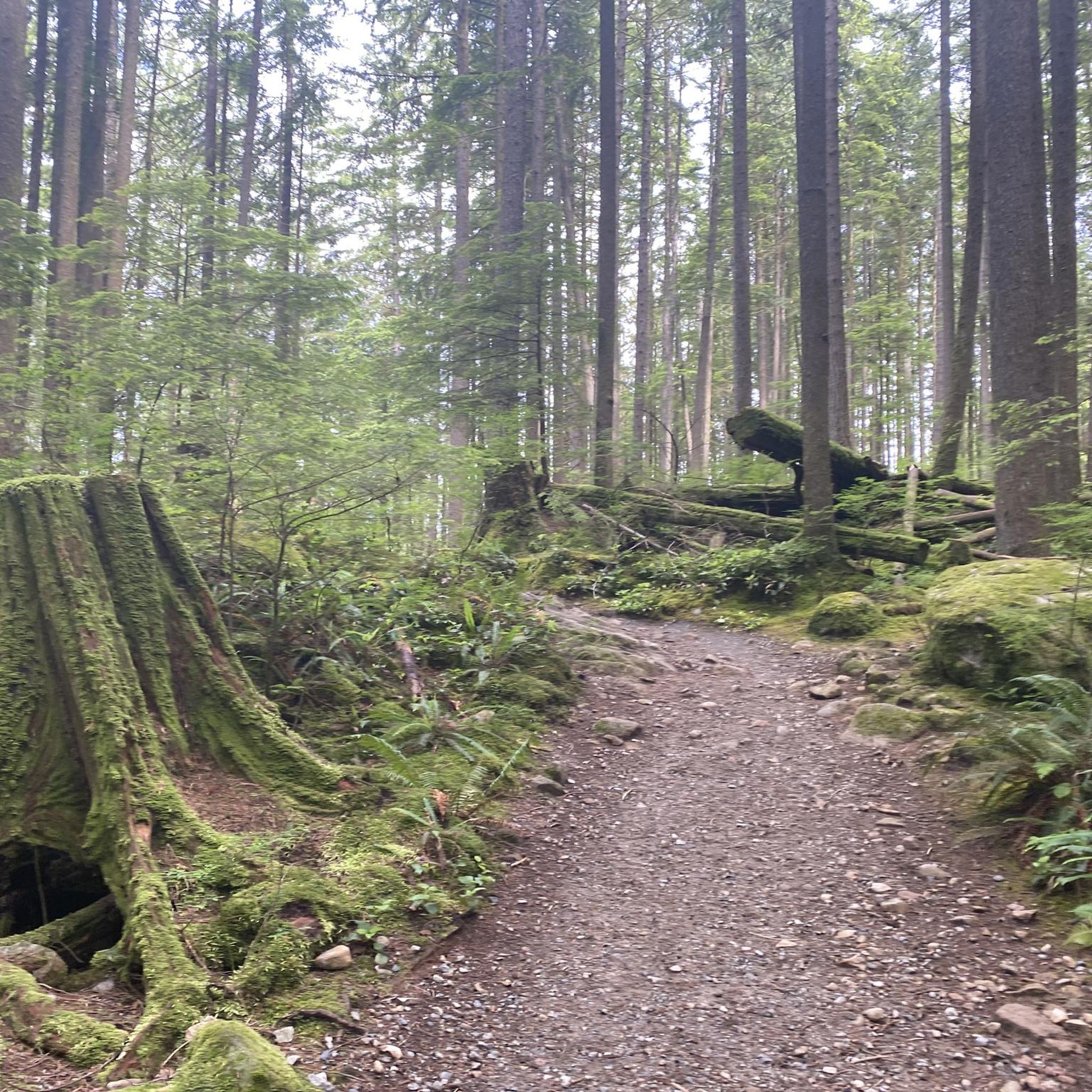
There is an easy loop trail around the shore of the lake, which connects to nearby trails ascending Sugar Mountain and the hills to the west.
1
0
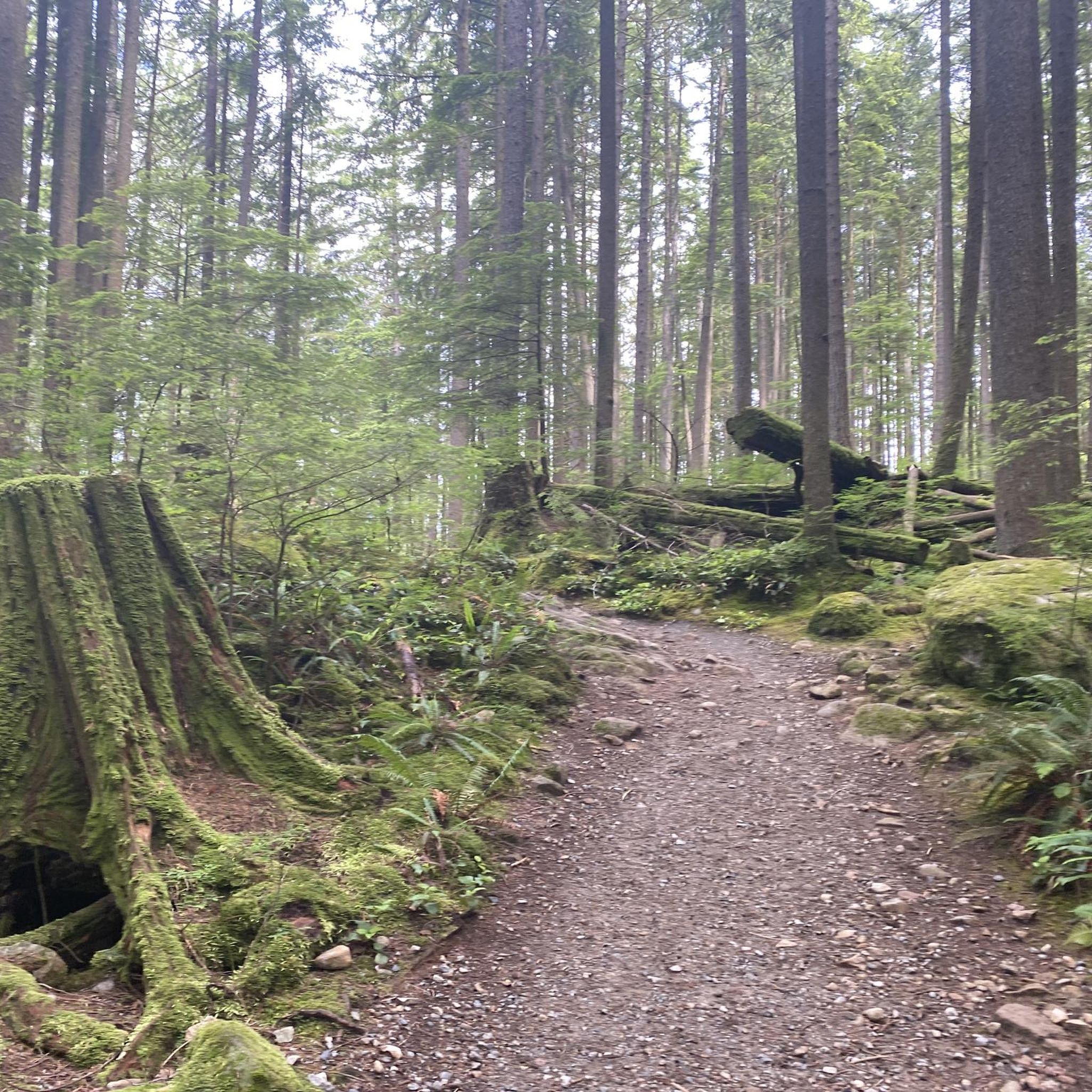
The boardwalk follows the water's edge around the eastern side of the lake, turning into a crushed gravel path as you make your way to the opposite shore.
0
0

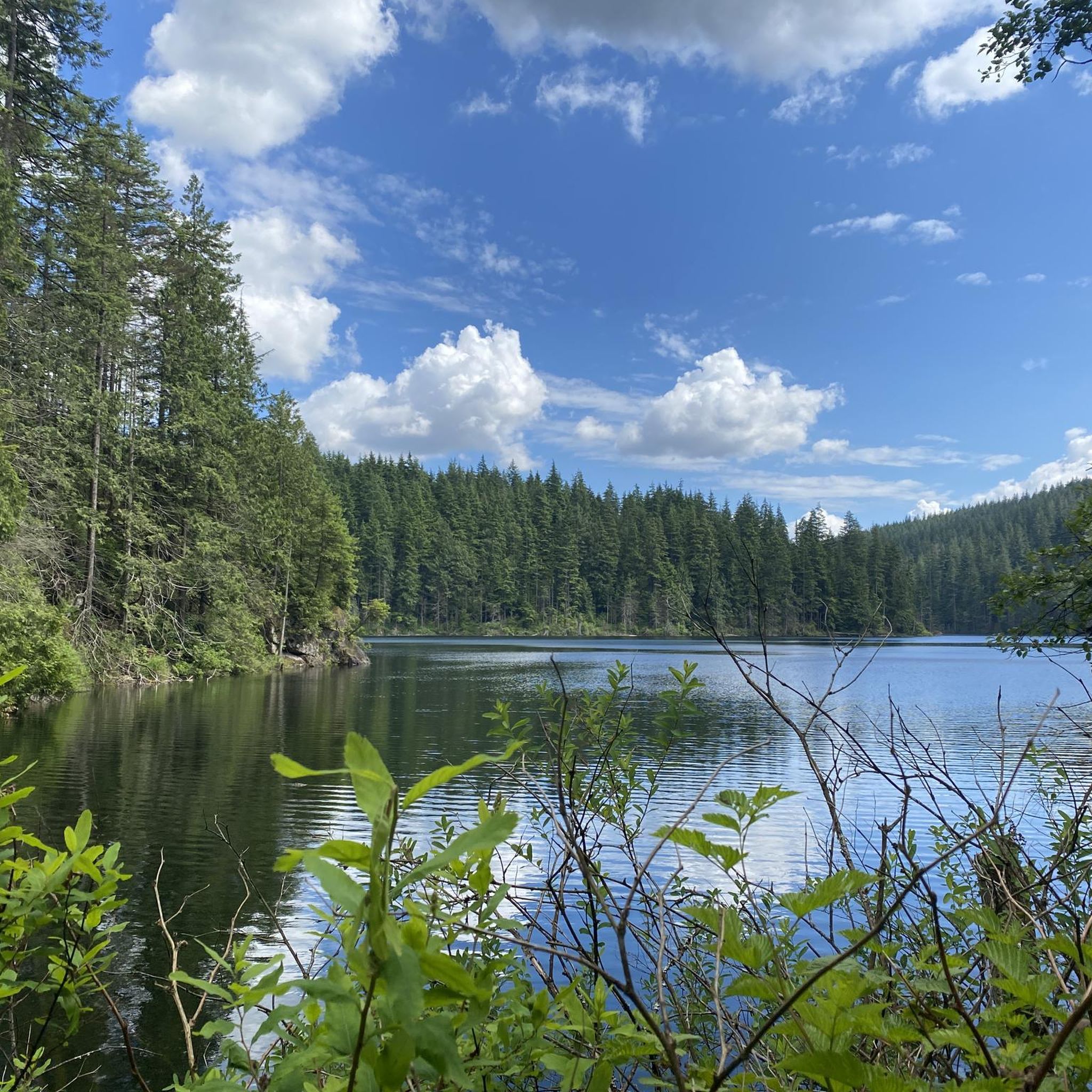
Buntzen Lake is a picturesque lake surrounded by towering fir and hemlock trees with hiking trails tracing along the shoreline offering grand lake and mountain views.
0
0

Bramble Park is a quiet neighborhood green space surrounded by forest and residential trails that connect to nearby Burke Mountain paths. The park includes open grassy areas, a playground, and sports courts that make it popular with local families. With its mix of natural and recreational spaces, it’s a lovely community spot for both relaxation and outdoor activities.
0
0

https://www.youtube.com/watch?v=s0my8pzbByk A trail of approximately 2 miles (3.2 km) circles the lake, suggesting a diameter of close to 0.6 miles (1 km). White Pine Beach, located at the northern end of the lake, is a sandy beach popular for swimming and sunbathing. During the summer, the beach fills up quickly, and it is common for authorities to close access once the parking lot reaches capacity. At the southern end of the lake, a floating bridge allows visitors to cross the water, fish, or simply enjoy the scenic views.
0
0


This is a volunteer operated hatchery to further education about salmon in the community.
0
0
Frequently Asked Questions
How many running routes are available in Coquitlam Watershed?
Coquitlam Watershed offers a wide selection of running routes, with over 80 different options to explore. These routes vary in difficulty and length, providing choices for all fitness levels.
What is the typical difficulty level of running trails in Coquitlam Watershed?
The running trails in Coquitlam Watershed cater to a range of abilities. While there are a few easy routes, the majority are classified as moderate (over 60 routes), and about 25 routes are considered difficult, featuring significant elevation changes and challenging terrain.
Are there any beginner-friendly jogging routes in the Coquitlam Watershed?
Yes, for those new to jogging or looking for a gentler experience, Coquitlam Watershed has a few easy routes. These typically feature less elevation gain and smoother paths, perfect for a relaxed run amidst nature.
Are there any challenging running trails for experienced runners?
Absolutely. Experienced runners seeking a challenge will find about 25 difficult routes in Coquitlam Watershed. Trails like Cima Amanecer (Sunrise Hill) – Vista #10 loop from Anmore offer significant elevation gain and panoramic vistas, providing a strenuous workout with rewarding views.
Can I find loop trails for jogging in Coquitlam Watershed?
Yes, many of the running routes in Coquitlam Watershed are loops, allowing you to start and finish at the same point. A popular example is the Bridge Over the Lake loop from Anmore, which takes you through forested areas and across a scenic bridge.
What kind of scenery can I expect on the running routes?
The Coquitlam Watershed is characterized by its extensive forests, prominent lakes, and undulating hills. Runners can expect views of water bodies, dense woodlands, and from higher points, panoramic vistas. Some routes also feature unique elements like a suspension bridge, as seen on the Buntzen Lake Suspension Bridge – Buntzen Lake loop from Bunzten Lake Recreation Area.
Is parking available for accessing the jogging trails?
Parking availability varies by trailhead. Many popular access points, such as the Buntzen Lake Recreation Area, offer designated parking facilities. It's advisable to check specific route details for parking information before your visit, especially during peak times.
What do other runners say about the trails in Coquitlam Watershed?
The running routes in Coquitlam Watershed are highly regarded by the komoot community, holding an average rating of 4.1 stars from over 5 reviews. More than 1300 runners have explored these trails, often praising the diverse terrain, beautiful lake views, and the immersive experience of running through dense woodlands.
Are there any running routes that are particularly good for spotting wildlife?
While specific wildlife sightings cannot be guaranteed, the extensive forests and natural habitats of Coquitlam Watershed provide opportunities to observe local fauna. Routes like the Heron Habitat loop from Coquitlam are named for their potential to spot birds and other wildlife in their natural environment.
What are the typical lengths of running routes in Coquitlam Watershed?
Running routes in Coquitlam Watershed vary significantly in length. You can find shorter loops, such as the Bridge Over the Lake loop from Anmore at 4.8 miles (7.7 km), up to much longer and more challenging trails like the Buntzen Lake Suspension Bridge – Buntzen Lake loop from Bunzten Lake Recreation Area, which spans over 22 miles (35.7 km).
Is Coquitlam Watershed suitable for winter jogging?
Winter jogging in Coquitlam Watershed is possible, but conditions can vary. Lower elevation trails might remain accessible, while higher or more exposed routes could be affected by snow and ice. Always check local weather and trail conditions before heading out, and dress appropriately for cold and potentially slippery surfaces.
Are there any running routes near Port Moody?
Yes, there are running options accessible from nearby areas. For instance, the Running loop from Port Moody offers a moderate 12.1 km (7.5 miles) route, providing a convenient option for those starting their run from Port Moody.
Most popular routes in Coquitlam Watershed

Get inspired with the komoot mobile app


Explore more
Browse the best Running Trails & Routes in other regions.
