The best gravel rides in Kaldárhraun Og Gjárnar
5.0
(1)
116
riders
5
rides
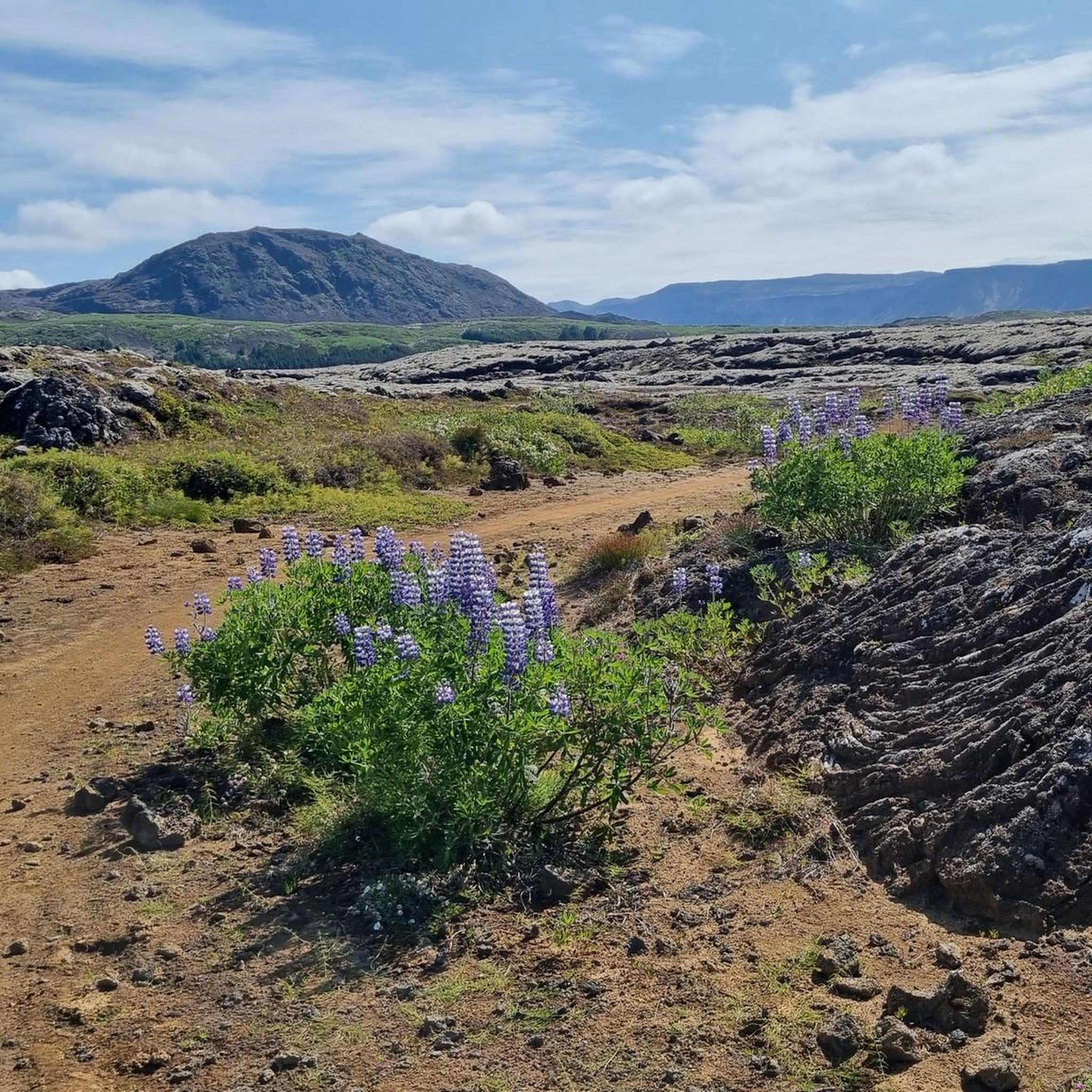
Gravel biking in Kaldárhraun Og Gjárnar offers routes through a protected natural monument in Hafnarfjörður, Iceland. The region is characterized by significant geological formations, including pahoehoe lava fields and ancient lava channels originating from the Búrfell volcano. The terrain features naturally formed paths and old roads like Kaldárstígur, providing varied unpaved surfaces for gravel cyclists. This landscape presents a rugged, volcanic environment for gravel biking.
Best gravel bike trails in Kaldárhraun Og Gjárnar
- The most popular gravel bike trail is…
Last updated: October 6, 2026
9
riders
17.8km
01:00
190m
190m
Moderate gravel ride. Good fitness required. Mostly paved surfaces. Suitable for all skill levels.
2
riders
15.8km
00:59
130m
130m
Easy gravel ride. Great for any fitness level. Mostly paved surfaces. Suitable for all skill levels.

65
riders
40.9km
02:45
350m
350m
Moderate gravel ride. Good fitness required. Mostly paved surfaces. Suitable for all skill levels.
27
riders
Moderate gravel ride. Good fitness required. Mostly paved surfaces. Suitable for all skill levels.
5.0
(1)
11
riders
25.8km
01:41
190m
190m
Moderate gravel ride. Good fitness required. Mostly paved surfaces. Suitable for all skill levels.
Our route recommendations are based on thousands of hikes, rides, and runs completed by other people on komoot.
Start today with a free account
Your next adventure awaits.
Tips from the Community

It's a nice and easy walk to get here. Recommend.
0
0

As of August 18, 2025: Iceland experienced its twelfth volcanic eruption in just over four years. On the sparsely populated Reykjanes Peninsula, southwest of Reykjavik, the earth opened up again on Wednesday, July 16. Since Tuesday, August 5, no more lava has been escaping from the eruption fissure located approximately seven kilometers northeast of Grindavik. Volcanologists believe it is highly likely that the eruption has ended for the time being. The temporarily closed campsite in the town of Grindavik is now freely accessible again.
1
0
Really impressive in the old lava fields
1
0

Excellent cycling path, allows gaining a lot of speed on the downhills.
0
0

The shipwreck is clearly visible from the lookout point. It's not recommended to climb down to avoid damaging the coastline.
3
0

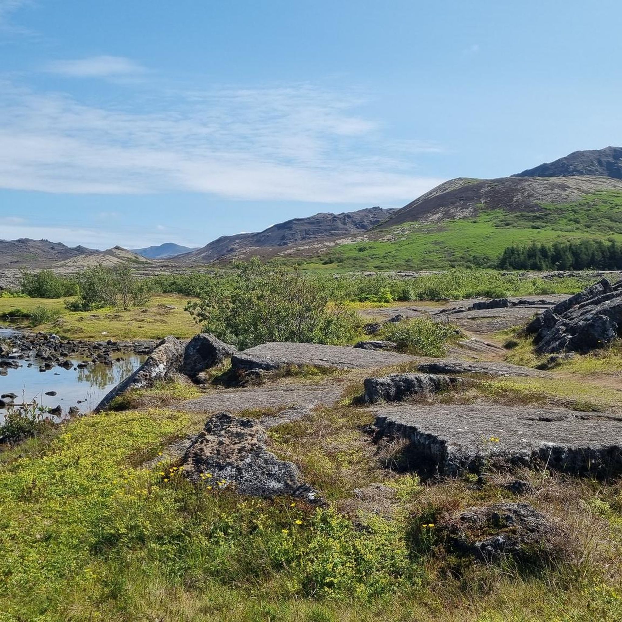
The fissure is surrounded by ancient lava flows that have cooled and solidified, forming a rugged, rocky landscape. Despite the volcanic terrain, the area is home to a surprising amount of vegetation adapted to lava soil, as well as birds and other animals typical of Iceland.
2
0
It is a unique geological feature located near Reykjavik in Iceland. It is a canyon formed by a volcanic fissure in the Hafnarfjörður region on the Reykjanes Peninsula. It is a fascinating place for both its geology and natural beauty. Near Búrfellsgjá is the Búrfell crater, which is an impressive volcanic feature in itself. This crater is almost perfectly shaped and offers a closer look at the volcanic activity that formed the region.
2
0

The reservoir no longer exists. The water has been drained and there are no plans to rebuild it.
1
0
Frequently Asked Questions
How many gravel bike trails are available in Kaldárhraun Og Gjárnar?
Kaldárhraun Og Gjárnar offers a selection of 8 gravel bike routes, catering to various preferences and skill levels. The majority of these are considered moderate, with some easier options available.
What makes gravel biking in Kaldárhraun Og Gjárnar a unique experience?
Gravel biking here is unique due to the region's distinctive volcanic landscapes. You'll ride through ancient pahoehoe lava fields, past significant geological formations like cave formations, and along old roads such as Kaldárstígur. This provides a rugged, wild, and visually stimulating adventure.
What are the typical distances and durations for gravel bike routes in this area?
The gravel bike routes in Kaldárhraun Og Gjárnar vary in length and duration. For example, the Picnic location at Miðhöfði – Hvaleyrarvatn Lake loop from Ásland is about 17.8 km (11.0 miles) and takes around 1 hour 28 minutes. Longer routes, like the View of Elliðavatn – Forest Path loop from Hádegishólar, stretch to 40.9 km (25.4 miles) and can take over 2 hours 45 minutes.
Are there any family-friendly gravel biking options in Kaldárhraun Og Gjárnar?
Yes, the area includes easily accessible paths suitable for various skill levels, making it possible to find family-friendly options. While all listed routes are moderate, their varied terrain and scenic views can be enjoyed by families looking for an outdoor adventure.
Are the gravel bike routes in Kaldárhraun Og Gjárnar typically circular?
Yes, all the gravel bike routes highlighted in Kaldárhraun Og Gjárnar are designed as loops. This allows you to start and finish at the same point, making logistics simpler. Examples include the Forest Path – Búrfellsgjá Lava Fissure loop from Kopavogur and the Guðmundarlundur Park – Búrfellsgjá Lava Fissure loop from Hádegishólar.
What natural features or landmarks can I expect to see while gravel biking?
You'll encounter a rich array of natural features, including pristine pahoehoe lava fields and ancient cave formations. Routes often offer views of prominent peaks like Helgafell and Búrfell, and pass by scenic bodies of water such as Hvaleyrarvatn Lake and Elliðavatn. The Forest Path – Búrfellsgjá Lava Fissure loop from Kopavogur specifically takes you past the Búrfellsgjá Lava Fissure.
What kind of terrain will I encounter on the gravel bike trails?
The terrain is diverse, reflecting the region's volcanic nature. You can expect to ride on varied surfaces, including sections of uncracked pahoehoe lava fields, old roads like Kaldárstígur, and through forest paths. This mix provides an engaging challenge for gravel bikers.
What do other gravel bikers enjoy most about gravel biking in Kaldárhraun Og Gjárnar?
The komoot community highly rates the gravel biking experience in Kaldárhraun Og Gjárnar, with an average score of 4.0 stars. Reviewers often praise the unique volcanic landscapes, the sense of rugged nature, and the diverse terrain that makes for an exciting ride.
Is there public transport access to Kaldárhraun Og Gjárnar for gravel bikers?
Kaldárhraun Og Gjárnar is located near Hafnarfjörður, which is part of the Capital Region. While specific public transport routes directly to trailheads for bikes aren't detailed, the area's accessibility suggests that local bus services in Hafnarfjörður could provide connections to the vicinity, from which you might cycle to the trails.
Are there any cafes or places to eat near the gravel bike trails?
While the immediate natural monument area is focused on preserving its wild nature, being close to Hafnarfjörður means there are various cafes, restaurants, and amenities available in the nearby town for pre- or post-ride refreshments.
What is the best time of year for gravel biking in Kaldárhraun Og Gjárnar?
The region is generally suitable for outdoor activities, including cycling, during the warmer months when paths are clear of snow and ice. However, Iceland's weather can be unpredictable, so checking local conditions before your ride is always recommended. Winter gravel biking is possible but requires appropriate gear and awareness of potentially challenging conditions.
Are there any waterfalls accessible by gravel bike in the area?
The broader Kaldárhraun Og Gjárnar area is known for its hiking trails that feature picturesque waterfalls, such as those along the Elliðaár Dam – Kermóafoss loop. While these are primarily hiking routes, some may be accessible or visible from gravel bike trails, or you might combine a ride with a short hike to reach them.
Most popular routes in Kaldárhraun Og Gjárnar

Get inspired with the komoot mobile app


