The best running trails in Kaldárhraun Og Gjárnar
4.9
(25)
3,518
runners
179
runs
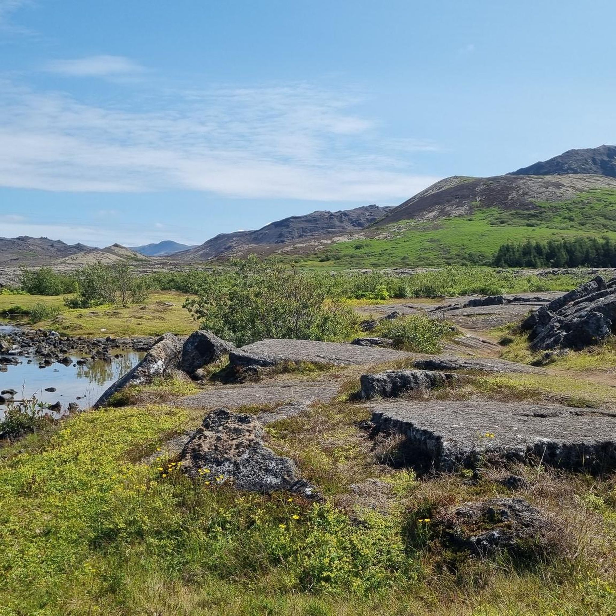
Jogging in Kaldárhraun Og Gjárnar offers routes through a landscape shaped by ancient lava flows and volcanic activity. The region is characterized by its unique geological features, including rugged lava fields and distinct hills. Running routes here often traverse varied terrain, providing opportunities to explore the natural formations and open spaces. The area's elevation changes are generally moderate, making it accessible for different fitness levels.
Best jogging routes in Kaldárhraun Og Gjárnar
- The most popular jogging route is Helgafell Summit…
Last updated: July 1, 2026
47
runners
10.0km
01:23
260m
260m
Moderate run. Good fitness required. Mostly paved surfaces. Suitable for all skill levels.
20
runners
10.4km
01:16
100m
100m
Moderate run. Good fitness required. Mostly paved surfaces. Suitable for all skill levels.

Sign up for free
5.0
(1)
8
runners
10.7km
01:19
180m
180m
Moderate run. Good fitness required. Mostly paved surfaces. Suitable for all skill levels.
5
runners
Hard run. Very good fitness required. Mostly paved surfaces. Suitable for all skill levels.
14
runners
7.19km
00:52
80m
80m
Moderate run. Good fitness required. Mostly paved surfaces. Suitable for all skill levels.
Get access to more routes and recommendations from other explorers.
Sign up for free
Already have an account?
Our route recommendations are based on thousands of hikes, rides, and runs completed by other people on komoot.
Start today with a free account
Your next adventure awaits.
Login or Signup
Tips from the Community

As of August 18, 2025: Iceland experienced its twelfth volcanic eruption in just over four years. On the sparsely populated Reykjanes Peninsula, southwest of Reykjavik, the earth opened up again on Wednesday, July 16. Since Tuesday, August 5, no more lava has been escaping from the eruption fissure located approximately seven kilometers northeast of Grindavik. Volcanologists believe it is highly likely that the eruption has ended for the time being. The temporarily closed campsite in the town of Grindavik is now freely accessible again.
1
0
Really impressive in the old lava fields
1
0

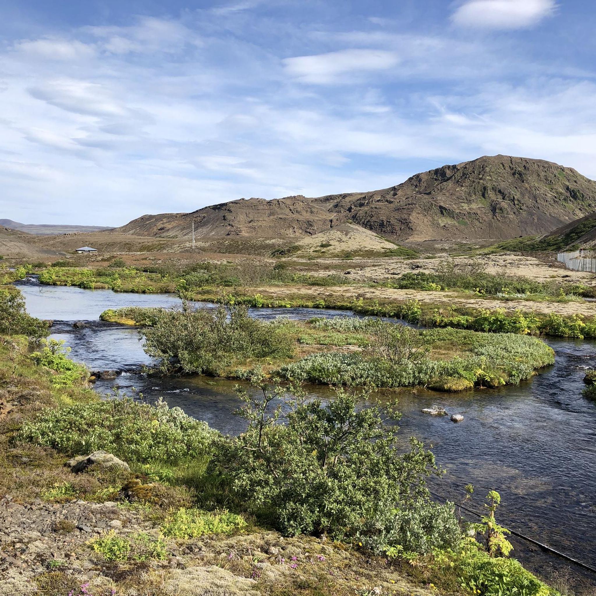
The fissure is surrounded by ancient lava flows that have cooled and solidified, forming a rugged, rocky landscape. Despite the volcanic terrain, the area is home to a surprising amount of vegetation adapted to lava soil, as well as birds and other animals typical of Iceland.
2
0
It is a unique geological feature located near Reykjavik in Iceland. It is a canyon formed by a volcanic fissure in the Hafnarfjörður region on the Reykjanes Peninsula. It is a fascinating place for both its geology and natural beauty. Near Búrfellsgjá is the Búrfell crater, which is an impressive volcanic feature in itself. This crater is almost perfectly shaped and offers a closer look at the volcanic activity that formed the region.
2
0

Nestled in the picturesque town of Hafnarfjörður, Iceland, lies the tranquil Hvaleyrarvatn, a serene lake that enchants visitors with its pristine beauty. Surrounded by rolling hills and lush greenery, this hidden gem offers a peaceful retreat from the hustle and bustle of everyday life. The crystal-clear waters of Hvaleyrarvatn mirror the ever-changing skies above, creating a breathtaking reflection that amplifies the natural splendor. Visitors can explore the lake's shores, meandering along peaceful trails that lead to secluded spots for picnics or quiet contemplation. Hvaleyrarvatn's idyllic setting makes it a perfect haven for nature lovers and a sanctuary for those seeking solace amidst Iceland's awe-inspiring landscapes.
0
0


A very fascinating landscape that is worth a visit.
4
0

If the weather is good, you have an excellent view over the capital city of Iceland as well as the Reykjanes peninsula.
1
0
Frequently Asked Questions
What are the difficulty levels of running routes in Kaldárhraun Og Gjárnar?
Kaldárhraun Og Gjárnar offers a variety of running routes suitable for different fitness levels. You'll find approximately 22 easy routes, 136 moderate routes, and 29 difficult routes. The terrain often features lava fields and volcanic hills, with elevation changes that are generally moderate.
What is the typical length of running trails in Kaldárhraun Og Gjárnar?
The running trails in Kaldárhraun Og Gjárnar vary in length. For example, the Kaldá loop is about 3.4 miles (5.5 km), while routes like the Helgafell Summit loop extend to around 6.2 miles (10 km). Many routes fall within this range, offering options for shorter jogs or longer runs.
Is parking available near the running trails in Kaldárhraun Og Gjárnar?
Yes, parking is generally available at common trailheads and access points around Kaldárhraun Og Gjárnar. As it's a natural area, designated parking spots are usually provided to accommodate visitors exploring the lava fields and trails.
Can I reach the jogging routes in Kaldárhraun Og Gjárnar by public transport?
Access to the running routes in Kaldárhraun Og Gjárnar primarily relies on private transportation. Public transport options directly to the trailheads are limited due to the region's natural and less developed character. It's advisable to plan for car access.
Are there family-friendly running routes in Kaldárhraun Og Gjárnar?
Yes, Kaldárhraun Og Gjárnar has several easier routes that are suitable for families looking for a less strenuous jog or walk. These trails often have more gentle inclines and well-defined paths through the unique volcanic landscape. Look for routes categorized as 'easy' in the komoot app.
What is the best time of year for jogging in Kaldárhraun Og Gjárnar?
The best time for jogging in Kaldárhraun Og Gjárnar is typically during the warmer months, from late spring to early autumn (May to September). During this period, the weather is milder, and the trails are generally free of snow and ice, offering better conditions for running.
What should I wear for jogging in Kaldárhraun Og Gjárnar?
Given the often unpredictable Icelandic weather, it's recommended to wear layers, even in summer. Opt for moisture-wicking clothing, a windproof and waterproof outer shell, and sturdy trail running shoes with good grip, especially for navigating the lava fields. A hat and gloves can also be useful.
Are there any circular running routes in Kaldárhraun Og Gjárnar?
Yes, many of the running routes in Kaldárhraun Og Gjárnar are circular, allowing you to start and finish at the same point. Examples include the Kaldá – Búrfell loop and the Kaldá – Helgafell loop, which offer varied scenery without retracing your steps.
What geological features can I see along the jogging routes?
The jogging routes in Kaldárhraun Og Gjárnar are defined by their unique geological features, primarily ancient lava fields and volcanic formations. You'll encounter rugged lava landscapes, distinct hills like Búrfell and Helgafell, and potentially fissures or small caves, showcasing the region's volcanic history.
What do other runners enjoy the most about jogging in Kaldárhraun Og Gjárnar?
The running routes in Kaldárhraun Og Gjárnar are highly rated by the komoot community, with an average score of 4.9 stars from over 20 reviews. Reviewers often praise the unique volcanic scenery, the sense of solitude, and the well-maintained paths that allow for an immersive experience in nature.
Are there any advanced running routes for experienced runners?
Yes, for experienced runners seeking a challenge, Kaldárhraun Og Gjárnar offers routes with more significant elevation gain and varied terrain. There are approximately 29 routes categorized as 'difficult' that will test your endurance and provide a more intense workout amidst the dramatic landscapes.
Can I find routes that offer views of specific landmarks or natural sights?
Absolutely. Many routes are designed to showcase the region's natural beauty. For instance, the Helgafell Summit loop takes you to the top of Helgafell, offering panoramic views of the surrounding lava fields and beyond. Other routes, like the Kaldá – Húsfell loop, pass by notable hills and features.
Most popular routes in Kaldárhraun Og Gjárnar

Get inspired with the komoot mobile app


