The best walks and hikes in Kaldárhraun Og Gjárnar
4.5
(119)
2,134
hikers
15
hikes
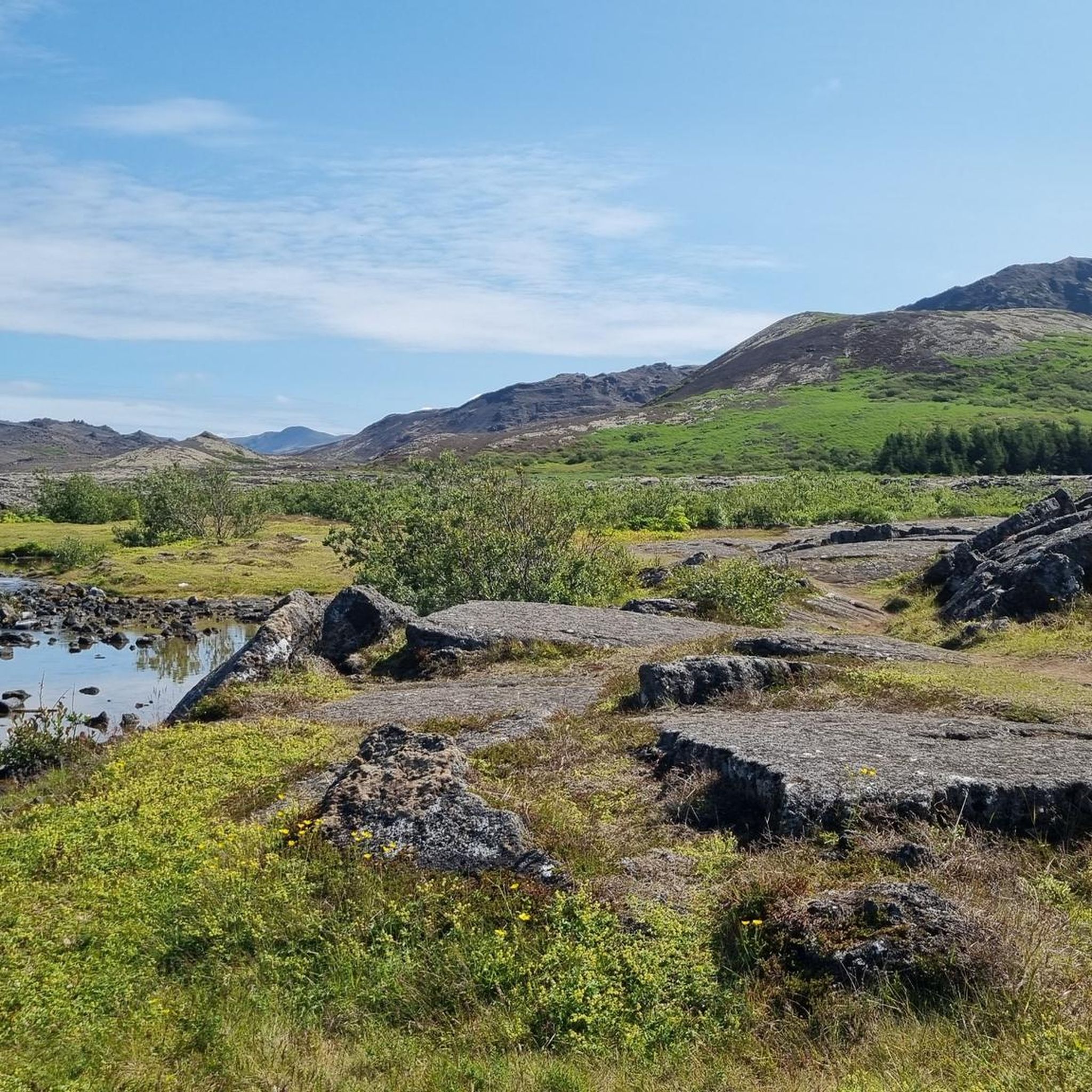
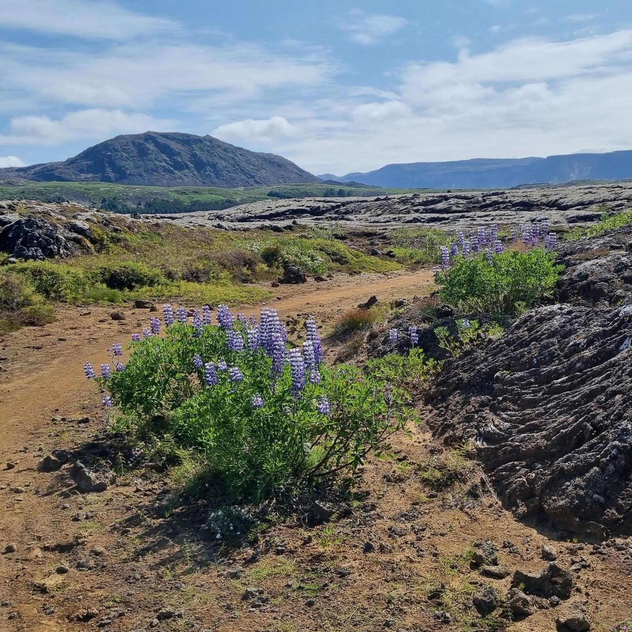
Hiking in Kaldárhraun Og Gjárnar offers exploration of a distinctive volcanic landscape in Hafnarfjörður, Iceland. This nature reserve is characterized by well-preserved pahoehoe lava formations, which are smooth, rope-like surfaces. The area also features geological fissures and volcanic peaks, including the prominent Helgafell and Búrfell. Trails traverse this rugged environment, providing access to its unique geological structures and natural beauty.
Best hiking trails in Kaldárhraun Og Gjárnar
- The most popular hiking route is Helgafell – Helgafell Summit (Reykjanesfólkvangur) loop from…
Last updated: October 4, 2026
4.7
(15)
173
hikers
Moderate hike. Good fitness required. Easily-accessible paths. Suitable for all skill levels.
5.0
(2)
25
hikers
Easy hike. Great for any fitness level. Easily-accessible paths. Suitable for all skill levels.

12
hikers
Easy hike. Great for any fitness level. Easily-accessible paths. Suitable for all skill levels.
2
hikers
Moderate hike. Good fitness required. Easily-accessible paths. Suitable for all skill levels.
2.0
(1)
4
hikers
Moderate hike. Good fitness required. Easily-accessible paths. Suitable for all skill levels.
Get access to more routes and recommendations from other explorers.
Already have an account?
Our route recommendations are based on thousands of hikes, rides, and runs completed by other people on komoot.
Start today with a free account
Your next adventure awaits.
Tips from the Community

Very beautiful place, green oasis in the lava desert. Cool cave.
0
0


Beautiful hike or run. whichever you do, you wont be sorry - it is gorgeous.
3
0
This is a great starting point to explore Reykjanesfólkvangur and it's endless moss fields. Climb the crater to enjoy to the beauty of Icelandic landscapes. Run down the Volcano lava tunnel and more...
2
1

The ascent to Búrfell crater start here. Easy for hikers, but climbing with a bicycle without putting a foot down is a challenge!
0
0

This is a great place to start for a walk in almost any direction. So many options from here.
4
1
There are several ways to reach the summit. Coming from the parking lot, it's worth taking the more direct, more exciting route and taking one of the other descent options.
0
0
Frequently Asked Questions
How many hiking trails are there in Kaldárhraun Og Gjárnar?
Kaldárhraun Og Gjárnar offers over 15 hiking trails, providing a range of options to explore its unique volcanic landscape. These trails cater to various fitness levels, from easy walks to more moderate routes.
What makes the landscape of Kaldárhraun Og Gjárnar unique for hiking?
The area is renowned for its distinctive volcanic landscape, featuring well-preserved pahoehoe lava formations with their smooth, rope-like surfaces. You'll also encounter intriguing geological fissures, often containing cave formations, and prominent volcanic peaks like Helgafell and Búrfell, all contributing to an otherworldly hiking experience.
Are there any family-friendly hiking options in Kaldárhraun Og Gjárnar?
Yes, Kaldárhraun Og Gjárnar includes several easy paths suitable for families. These routes allow you to experience the unique volcanic scenery without requiring extensive hiking experience. For example, the Reykjanesfólkvangur Trailhead – Helgafell loop is an easy option.
Can I bring my dog on the trails in Kaldárhraun Og Gjárnar?
While the guide does not specify dog-friendly trails, it is generally advisable to keep dogs on a leash in protected natural areas like Kaldárhraun Og Gjárnar to protect the delicate ecosystem and wildlife. Always check local regulations before heading out with your pet.
Are there any circular hiking routes available?
Yes, many of the trails in Kaldárhraun Og Gjárnar are designed as loops, allowing you to start and end at the same point. Examples include the popular Helgafell – Helgafell Summit loop and the Búrfellsgjá Crater – Búrfellsgjá Lava Fissure loop.
What kind of geological features can I expect to see while hiking?
Hikers will encounter impressive geological features, including extensive pahoehoe lava fields, which are among the best-preserved in the region. The area is also characterized by Gjárnar (fissures), which are geological rifts, some containing fascinating cave formations within the lava channels, particularly around the Búrfell volcano system.
Are there any waterfalls along the hiking trails in Kaldárhraun Og Gjárnar?
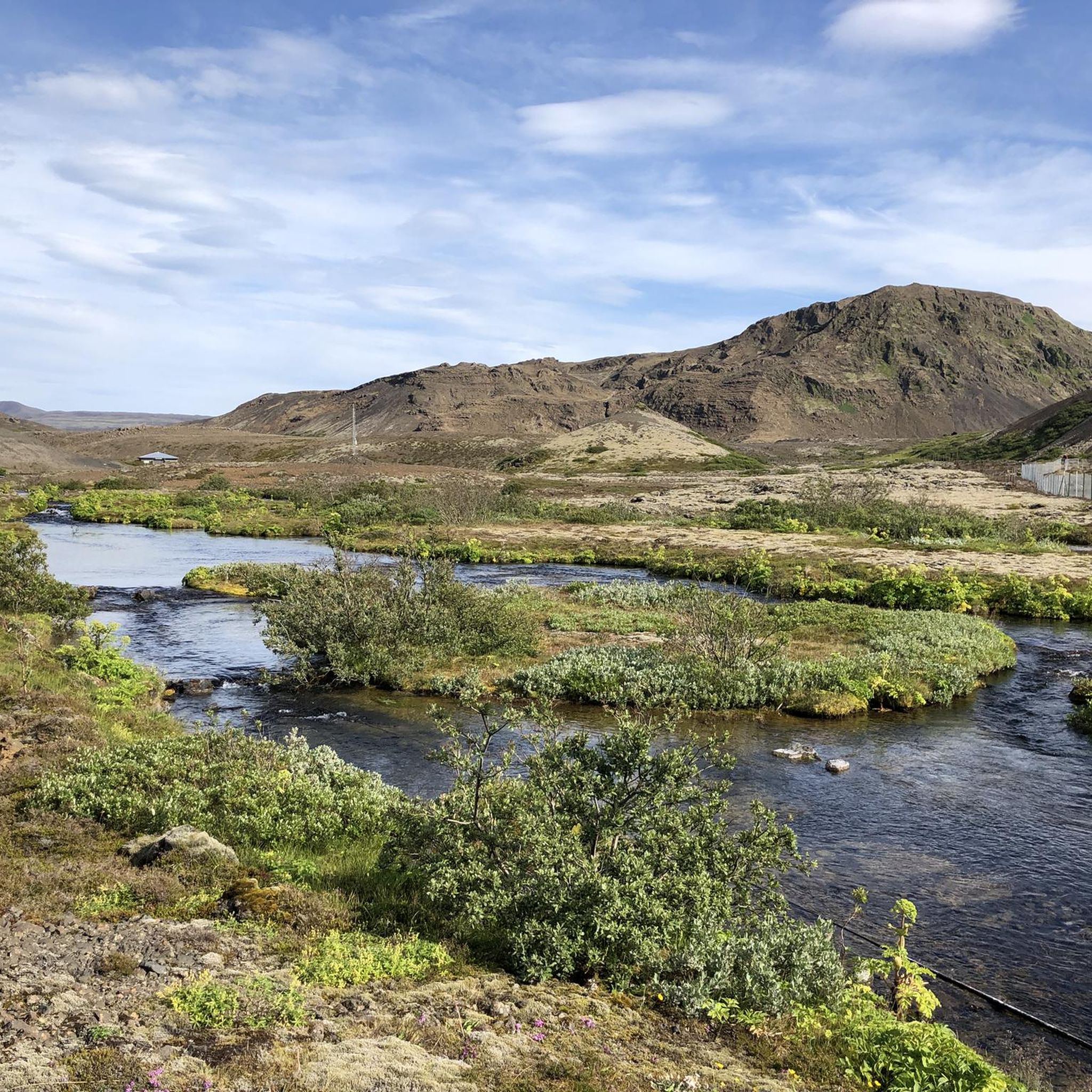
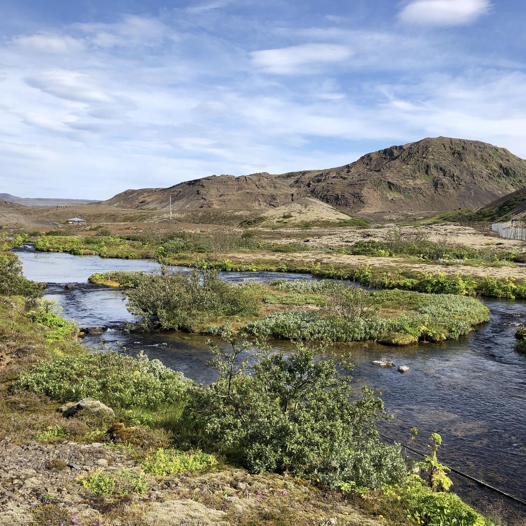
The region offers hiking trails that feature eye-catching cascades and serene streams, adding to the scenic beauty. While specific named waterfalls are not detailed in the guide, the presence of these water features enhances the natural appeal of the volcanic landscape.
What is the best time of year to go hiking in Kaldárhraun Og Gjárnar?
The best time for hiking in Kaldárhraun Og Gjárnar is generally during the warmer months, from late spring to early autumn (May to September), when the weather is milder and daylight hours are longer. However, the unique landscape can be explored year-round, with winter offering a different, often snow-covered, experience for well-prepared hikers.
How can I get to the hiking trails in Kaldárhraun Og Gjárnar by public transport?
Kaldárhraun Og Gjárnar is located near Hafnarfjörður. While direct public transport to specific trailheads might be limited, local bus services can get you to Hafnarfjörður, from where you might need to arrange further transport or walk to the starting points. Checking local bus schedules for routes connecting to the area is recommended.
Is there parking available at the trailheads?
Yes, parking is generally available near the main trailheads for Kaldárhraun Og Gjárnar, making it accessible for those traveling by car. Specific parking details can often be found on local maps or by checking the starting points of individual routes.
What are the typical difficulty levels of hikes in this area?
The trails in Kaldárhraun Og Gjárnar range from easy paths suitable for beginners and families to moderate routes that require a good level of fitness and sure-footedness. There are no trails classified as difficult, making it accessible for a wide range of hikers.
What should I wear or bring for a hike in Kaldárhraun Og Gjárnar?
Given the varied terrain and Icelandic weather, it's advisable to wear layers, waterproof and windproof outer clothing, and sturdy hiking boots. Bring plenty of water, snacks, a map or GPS device, and be prepared for sudden weather changes, even in summer.
What do other hikers say about the trails in Kaldárhraun Og Gjárnar?
The trails in Kaldárhraun Og Gjárnar are highly rated by the komoot community, with an average score of 4.5 stars from over 90 reviews. Hikers often praise the unique volcanic scenery, the well-preserved lava formations, and the opportunity to explore geological wonders like the Búrfellsgjá lava channel.
Are there options for longer, more challenging hikes?
Yes, for those seeking a longer and more challenging experience, routes like the Helgafell Summit – Helgafell loop offer a moderate challenge, covering a greater distance and elevation gain. These routes provide an immersive experience into the rugged volcanic terrain.
Are there any nearby attractions or activities besides hiking?
Beyond hiking, the broader Reykjanes peninsula, where Kaldárhraun Og Gjárnar is located, offers a range of outdoor activities. These include horse riding, cycling, cave exploring, and ATV tours. For more information on activities in the region, you can visit visitreykjanes.is.
Most popular routes in Kaldárhraun Og Gjárnar

Get inspired with the komoot mobile app


