The best gravel rides in Parco Dell’Alto Martesana
4.3
(410)
3,089
riders
104
rides
Gravel biking in Parco Dell’Alto Martesana offers routes through a landscape characterized by cultivated fields, natural corridors, and small wooded areas. The terrain features mostly flat, paved routes along the historic Naviglio Martesana canal, alongside unpaved segments suitable for gravel riding. The park includes the WWF Natural Oasis of Martesana, a re-naturalized former quarry, adding to its diverse natural features. This area provides low elevation changes, making it accessible for various skill levels.
Best gravel bike trails in Parco Dell’Alto…
Last updated: October 9, 2026
5.0
(2)
40
riders
Hard gravel ride. Very good fitness required. Mostly paved surfaces. Suitable for all skill levels.
8
riders
Moderate gravel ride. Good fitness required. Mostly paved surfaces. Suitable for all skill levels.

4.6
(12)
84
riders
67.3km
04:21
150m
150m
Moderate gravel ride. Good fitness required. Mostly paved surfaces. Suitable for all skill levels.
4.4
(25)
171
riders
Moderate gravel ride. Good fitness required. Mostly paved surfaces. Suitable for all skill levels.
4.1
(15)
115
riders
47.1km
02:38
250m
250m
Moderate gravel ride. Good fitness required. Mostly paved surfaces. Suitable for all skill levels.
Get access to more routes and recommendations from other explorers.
Already have an account?
Our route recommendations are based on thousands of hikes, rides, and runs completed by other people on komoot.
Start today with a free account
Your next adventure awaits.
Tips from the Community

Trails and single tracks on the way there, immersed in nature.
0
0

proceed with caution and possibly on foot
0
0

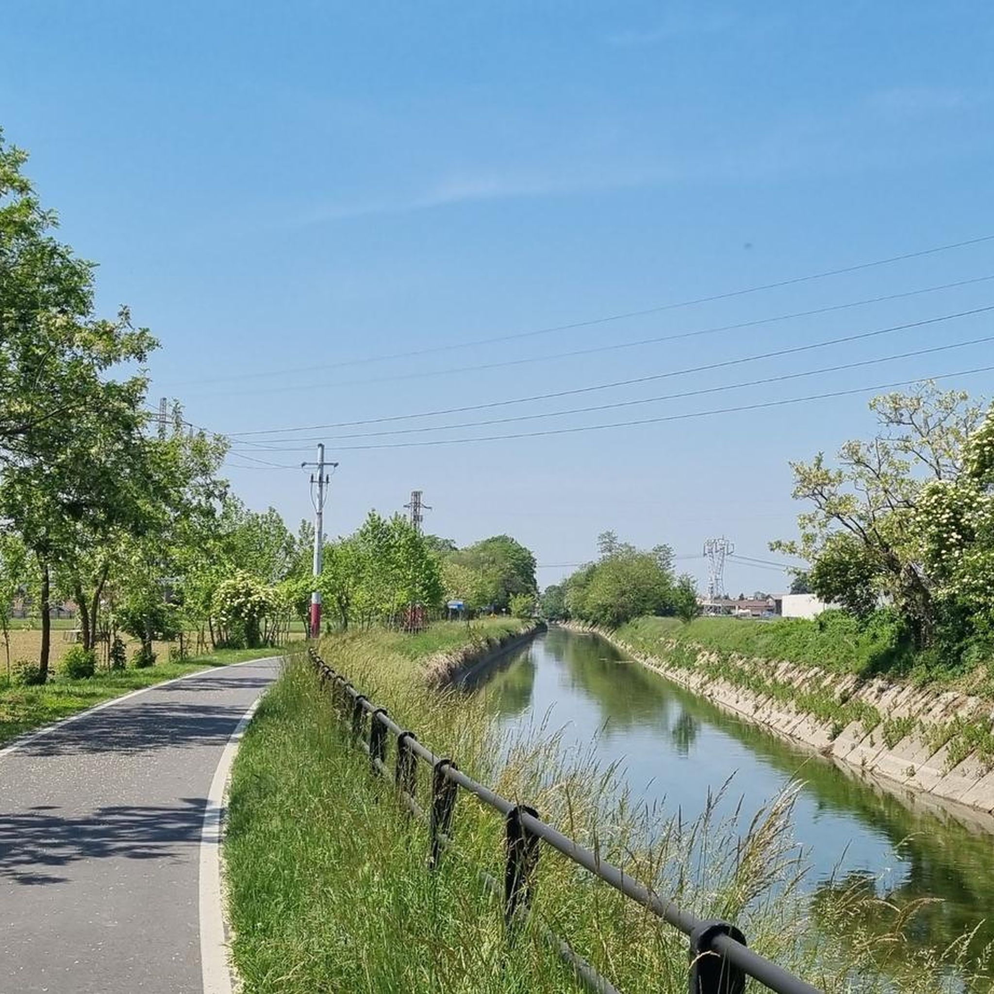
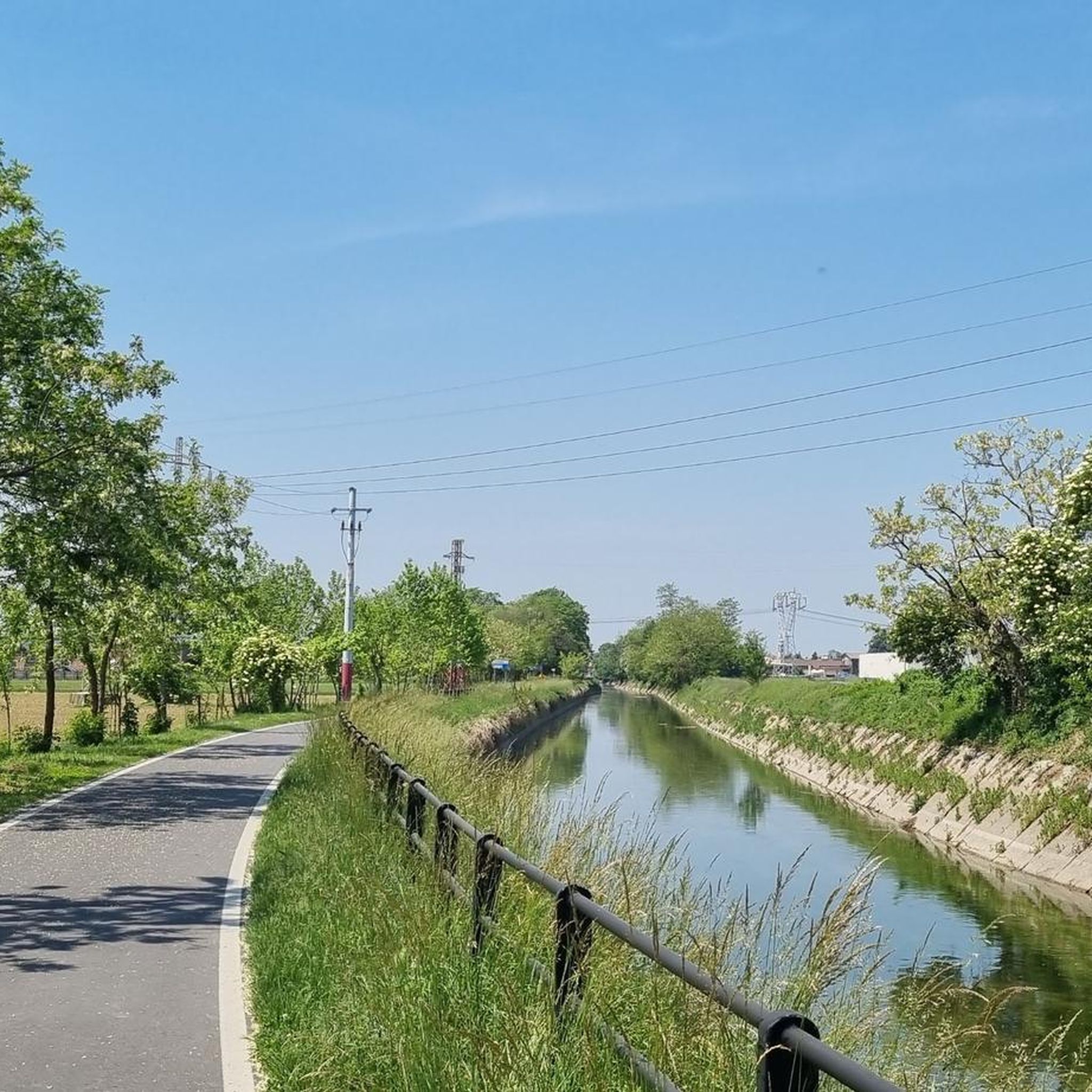
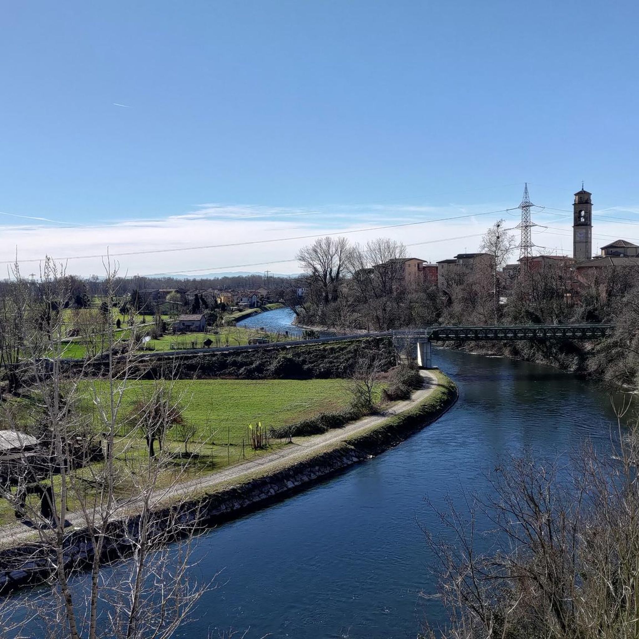
The Muzza Canal, also known as Canale della Muzza, originates near the Castle of Cassano d’Adda, where it draws water from the Adda river. After a journey of about 39 km, it flows back into the Adda near Castiglione. Considered an important hydraulic engineering work at a European level, the Muzza Canal is among the oldest in Europe, with about 800 years of history, and is the largest in Northern Italy. Crossing the landscapes of the Po Valley, the canal contributes to the irrigation of the surrounding lands of the Lodi area and preserves precious patches of woodland vegetation, which characterize the Lombard territory. An ideal place to explore the beauty of nature and discover the agricultural history of the region!
0
0
The Muzza Canal, also known as Canale della Muzza, originates near the Castle of Cassano d’Adda, where it draws water from the Adda River. After a course of about 39 km, it flows back into the Adda near Castiglione. Considered an important hydraulic engineering work at a European level, the Muzza Canal is among the oldest in Europe, with about 800 years of history, and is the largest in Northern Italy. Crossing the landscapes of the Po Valley, the canal contributes to the irrigation of the surrounding lands of the Lodi area and preserves precious patches of woodland vegetation, which characterize the Lombard territory. An ideal place to explore the beauty of nature and discover the agricultural history of the region!
1
0
The Muzza Canal, also known as Canale della Muzza, originates near the Castle of Cassano d’Adda, where it draws water from the Adda river. After a journey of about 39 km, it flows back into the Adda near Castiglione
0
0
The Muzza Canal, also known as Canale della Muzza, originates near the Castello di Cassano d’Adda, where it draws water from the Adda river. After a course of about 39 km, it flows back into the Adda near Castiglione. Considered an important hydraulic engineering work at a European level, the Muzza Canal is among the oldest in Europe, with about 800 years of history, and is the largest in Northern Italy. Crossing the landscapes of the Po Valley, the canal contributes to the irrigation of the surrounding lands of the Lodi area and preserves precious patches of woodland vegetation, which characterize the Lombard territory. An ideal place to explore the beauty of nature and discover the agricultural history of the region!
1
0
The Muzza Canal, also known as Canale della Muzza, originates near the Castle of Cassano d’Adda, where it draws water from the Adda River. After a journey of about 39 km, it flows back into the Adda near Castiglione. Considered an important hydraulic engineering work at a European level, the Muzza Canal is among the oldest in Europe, with about 800 years of history, and is the largest in Northern Italy. Crossing the landscapes of the Po Valley, the canal contributes to the irrigation of the surrounding lands of the Lodi area and preserves precious patches of woodland vegetation, which characterize the Lombardy region. An ideal place to explore the beauty of nature and discover the agricultural history of the region!
0
0

The Canale della Muzza is an important hydraulic work from the 12th-13th century that branches off the Adda river in Cassano d'Adda and extends for about 39 km to Castiglione d'Adda. It is one of the oldest and largest irrigation canals in Europe, fundamental for Lodi's agriculture, now also flanked by cycle paths.
1
0
Frequently Asked Questions
How many gravel bike trails are available in Parco Dell’Alto Martesana?
Parco Dell’Alto Martesana offers a wide selection of gravel biking routes, with over 130 trails to explore. These range from easy, flat paths to more challenging loops through varied terrain.
Are there easy gravel bike trails in Parco Dell’Alto Martesana suitable for beginners or families?
Yes, the region is well-suited for beginners and families, with 23 easy routes available. Many of these follow the historic canals, offering flat and consistent gravel surfaces. A great option is the Martesana Canal Gravel Loop, which is 15.5 miles (25 km) and relatively flat.
Are there more challenging gravel trails for experienced riders in Parco Dell’Alto Martesana?
For experienced riders seeking a challenge, Parco Dell’Alto Martesana features 46 difficult gravel trails. These routes often include varied park landscapes and longer distances, such as the Parco Dell’Alto Martesana Perimeter Trail, which covers 21.7 miles (35 km).
What kind of terrain can I expect on gravel bike trails in Parco Dell’Alto Martesana?
The terrain in Parco Dell’Alto Martesana is diverse, characterized by woodlands, open fields, and waterways. You'll find a mix of flat paths along canals, mixed gravel and dirt surfaces through forested sections, and routes with gentle inclines. The topography generally features low elevation changes, making it accessible for various skill levels.
What do other gravel bikers enjoy most about the trails in Parco Dell’Alto Martesana?
The trails in Parco Dell’Alto Martesana are highly rated by the komoot community, with an average score of 4.4 stars from over 260 reviews. Riders frequently praise the scenic canal paths, the tranquility of the wooded sections, and the well-maintained gravel surfaces that make for enjoyable rides.
Are there any circular gravel bike routes in Parco Dell’Alto Martesana?
Yes, many of the gravel routes in Parco Dell’Alto Martesana are designed as loops, allowing you to start and finish at the same point. The Martesana Canal Gravel Loop is a popular example, offering a complete circuit along the canal.
What are some scenic viewpoints or interesting landmarks along the gravel bike trails?
Along the gravel bike trails, you can discover several points of interest. Consider exploring the Naviglio Martesana Cycle Path for picturesque canal views, or the Gravel Path Along the Villoresi Canal. For a historical landmark, the Santa Maria delle Grazie al Monasterolo is also accessible.
What is the best time of year for gravel biking in Parco Dell’Alto Martesana?
While specific weather conditions can vary, spring and autumn generally offer the most pleasant temperatures for gravel biking in Parco Dell’Alto Martesana. These seasons provide comfortable riding conditions with less heat than summer and fewer potential disruptions from winter weather.
Are there any hidden gem gravel trails in Parco Dell’Alto Martesana?
Beyond the well-known routes, the park offers quieter sections that feel like hidden gems. The Woodland Explorer Gravel Route, for instance, winds through forested areas, providing a more secluded experience away from busier paths.
How long does it typically take to complete a gravel bike trail in Parco Dell’Alto Martesana?
The duration varies greatly depending on the trail length and your pace. For example, the Martesana Canal Gravel Loop typically takes about 1 hour 30 minutes, while the longer Parco Dell’Alto Martesana Perimeter Trail can take around 2 hours 15 minutes.
Where can I find parking for gravel biking in Parco Dell’Alto Martesana?
Parking availability varies by specific trailhead. Many access points to the canal paths and park entrances offer designated parking areas. It's advisable to check the starting point of your chosen route on komoot for detailed parking information.
Most popular routes in Parco Dell’Alto Martesana
Most popular attractions in Parco Dell’Alto Martesana

Get inspired with the komoot mobile app


Explore more
Browse the best Gravel rides in other regions.
