The best gravel rides in Geschützter Landschaftsteil Rellstal Und Lünerseegebiet
4.4
(40)
321
riders
17
rides
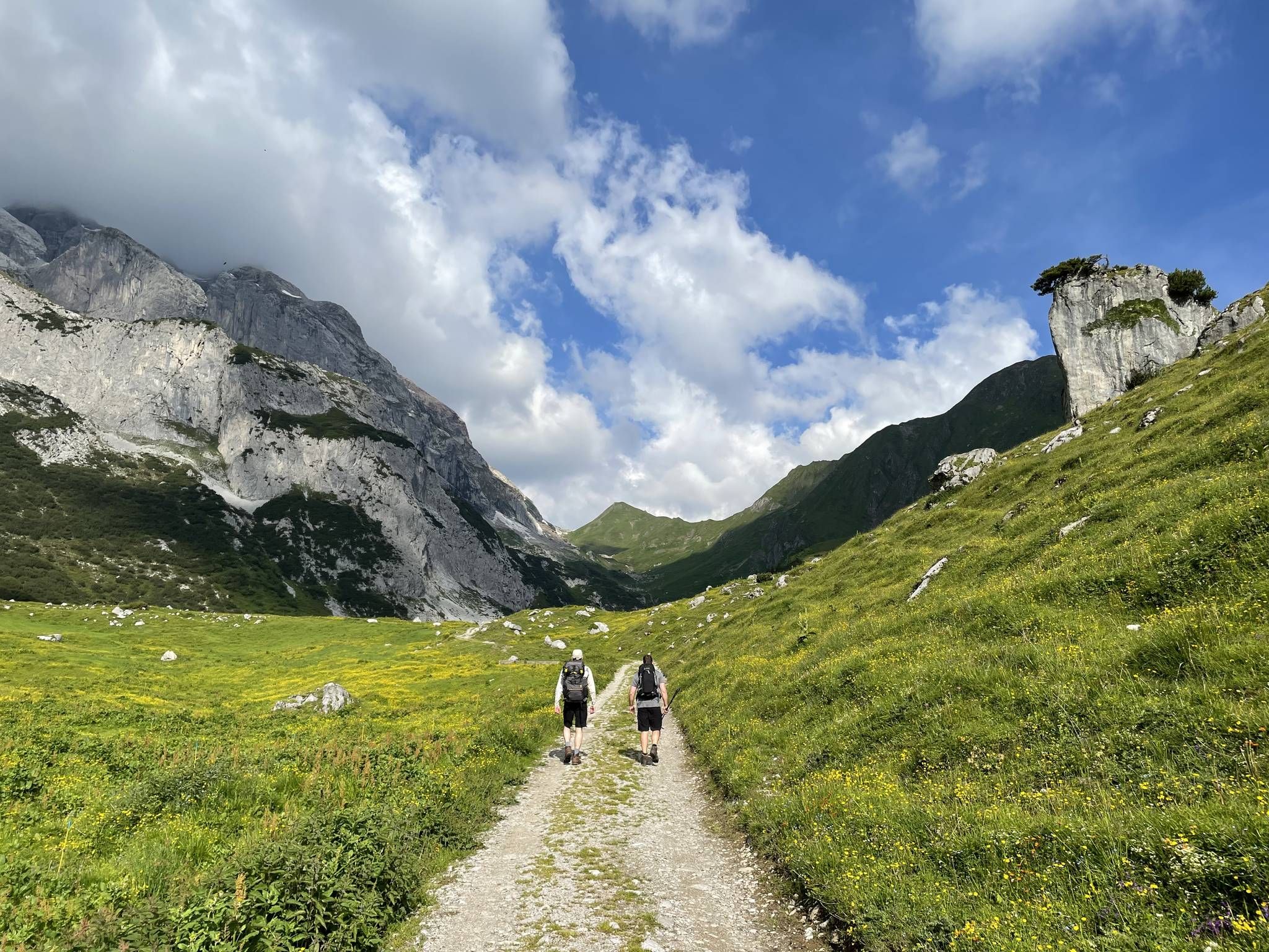
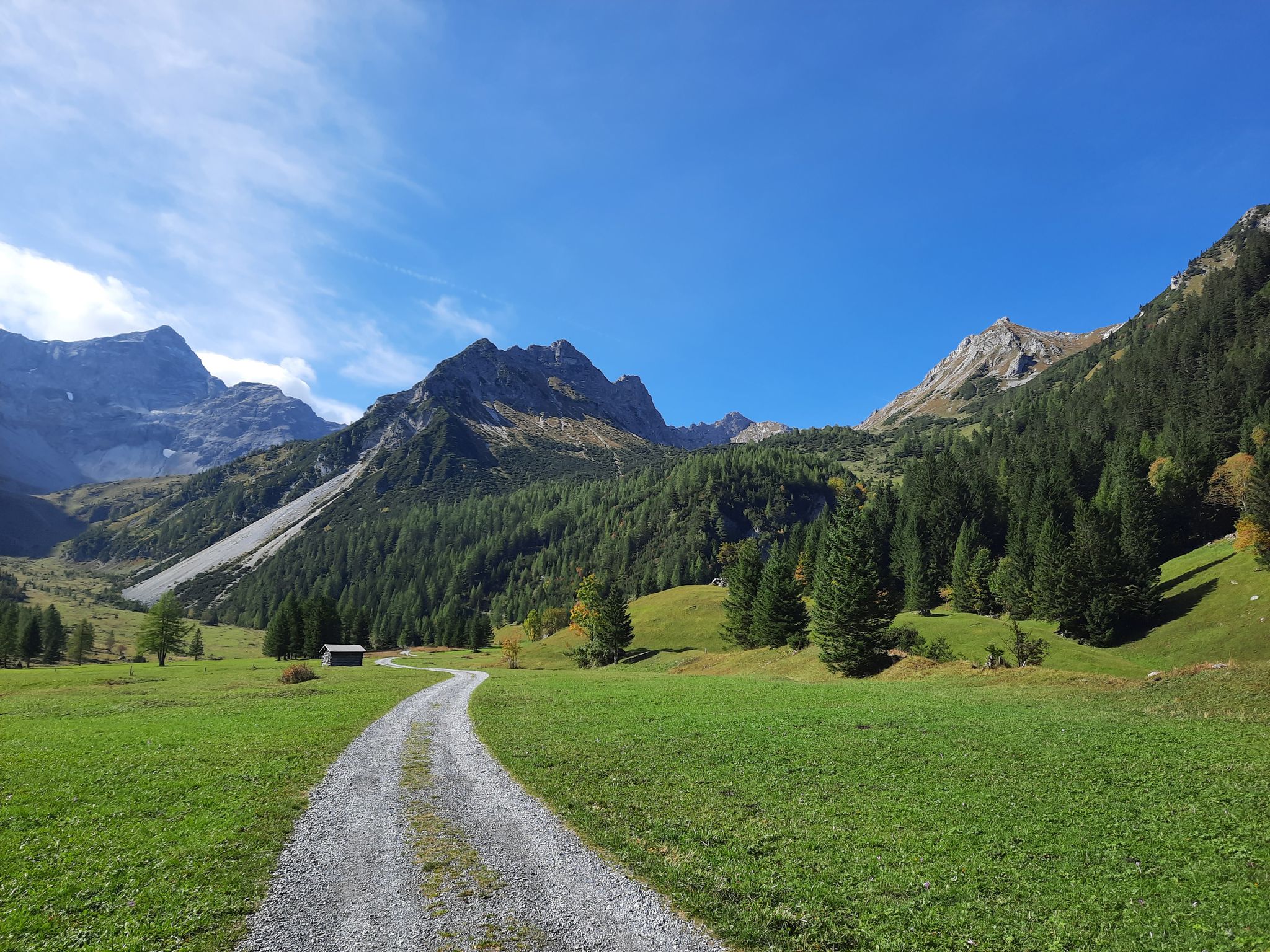
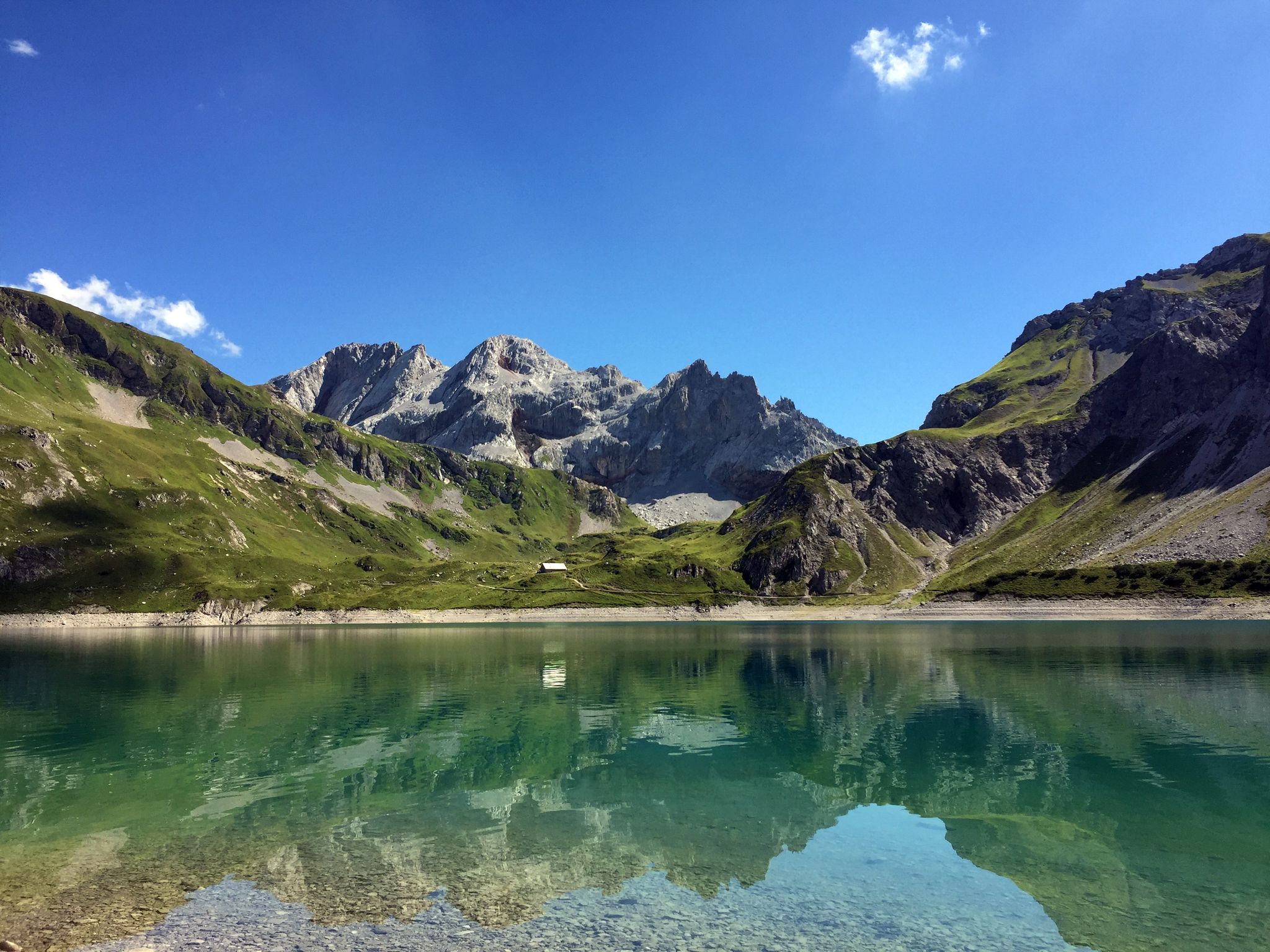
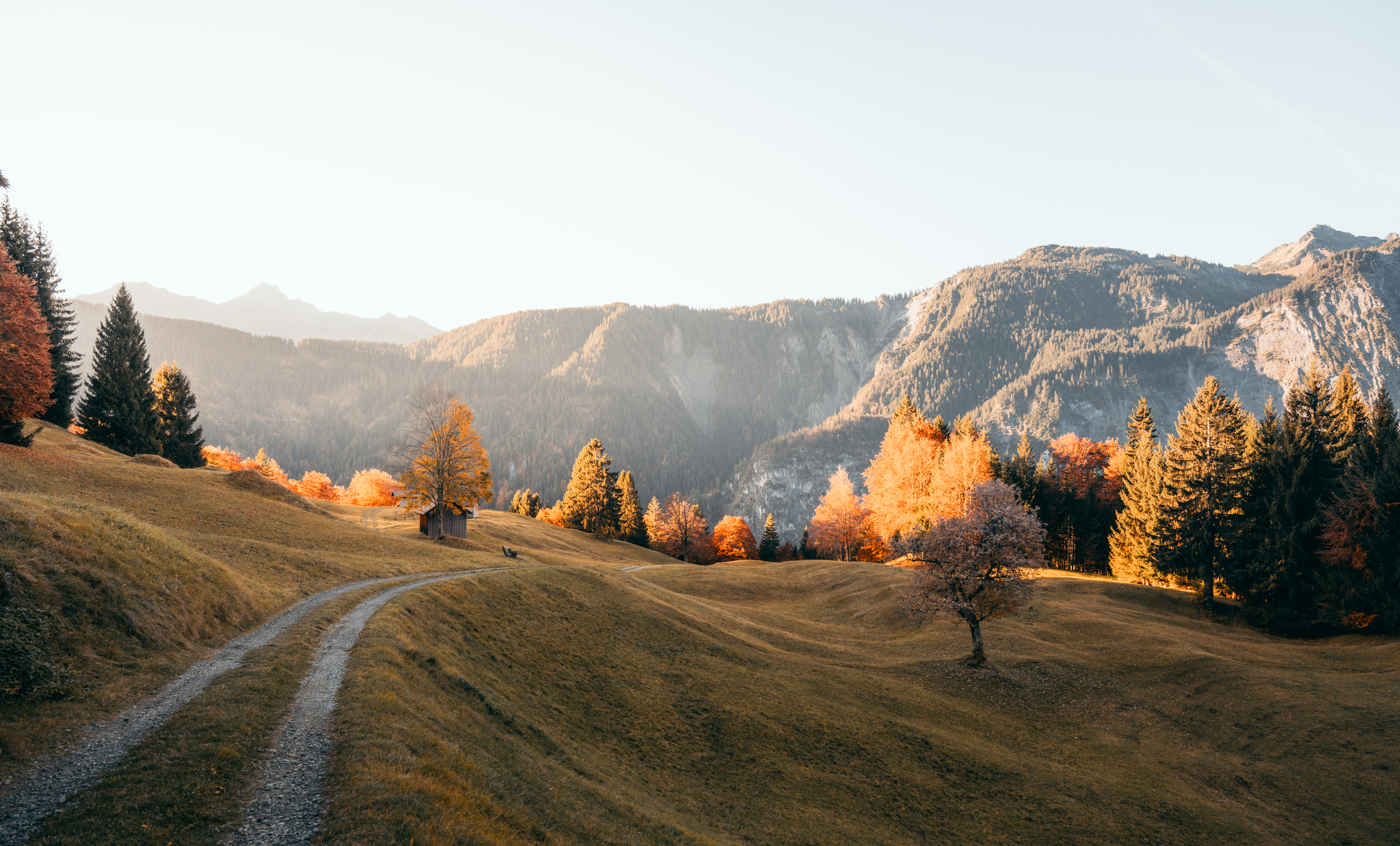
Gravel biking in Geschützter Landschaftsteil Rellstal Und Lünerseegebiet offers diverse terrain within the Rätikon mountain range, characterized by rugged rock formations, alpine meadows, and valleys like the Rellstal. The region features a mix of forest paths, alpine tracks, and gravel roads, providing varied surfaces for cycling. The landscape includes the Lünersee reservoir and numerous mountain streams, with challenging ascents and scenic trails throughout.
Best gravel bike trails in Geschützter Landschaftsteil Rellstal Und Lünerseegebiet
- The most popular gravel bike trail is…
Last updated: August 27, 2026
5.0
(1)
26
riders
28.5km
02:30
1,010m
1,010m
Hard gravel ride. Very good fitness required. Mostly paved surfaces. Suitable for all skill levels.
2.0
(1)
12
riders
57.3km
05:35
1,590m
1,590m
Hard gravel ride. Very good fitness required. Mostly paved surfaces. Suitable for all skill levels.

Sign up for free
4.8
(5)
27
riders
40.9km
02:56
380m
380m
Moderate gravel ride. Good fitness required. Mostly paved surfaces. Suitable for all skill levels.
5.0
(3)
25
riders
34.2km
03:11
1,300m
1,300m
Hard gravel ride. Very good fitness required. Mostly paved surfaces. Suitable for all skill levels.
4.6
(5)
29
riders
31km
01:43
140m
140m
Easy gravel ride. Great for any fitness level. Mostly paved surfaces. Suitable for all skill levels.
Get access to more routes and recommendations from other explorers.
Sign up for free
Already have an account?
Our route recommendations are based on thousands of hikes, rides, and runs completed by other people on komoot.
Start today with a free account
Your next adventure awaits.
Login or Signup
Popular around Geschützter Landschaftsteil Rellstal Und Lünerseegebiet
Montafon Hut-to-Hut Hiking Trail – 13 days in Western Austria
Autumn magic in Brandnertal – 6 hikes for the golden season
Mighty mountains and historic cities – hiking in Austria
Alpenmosaik Montafon - The Montafoner Hüttenrunde
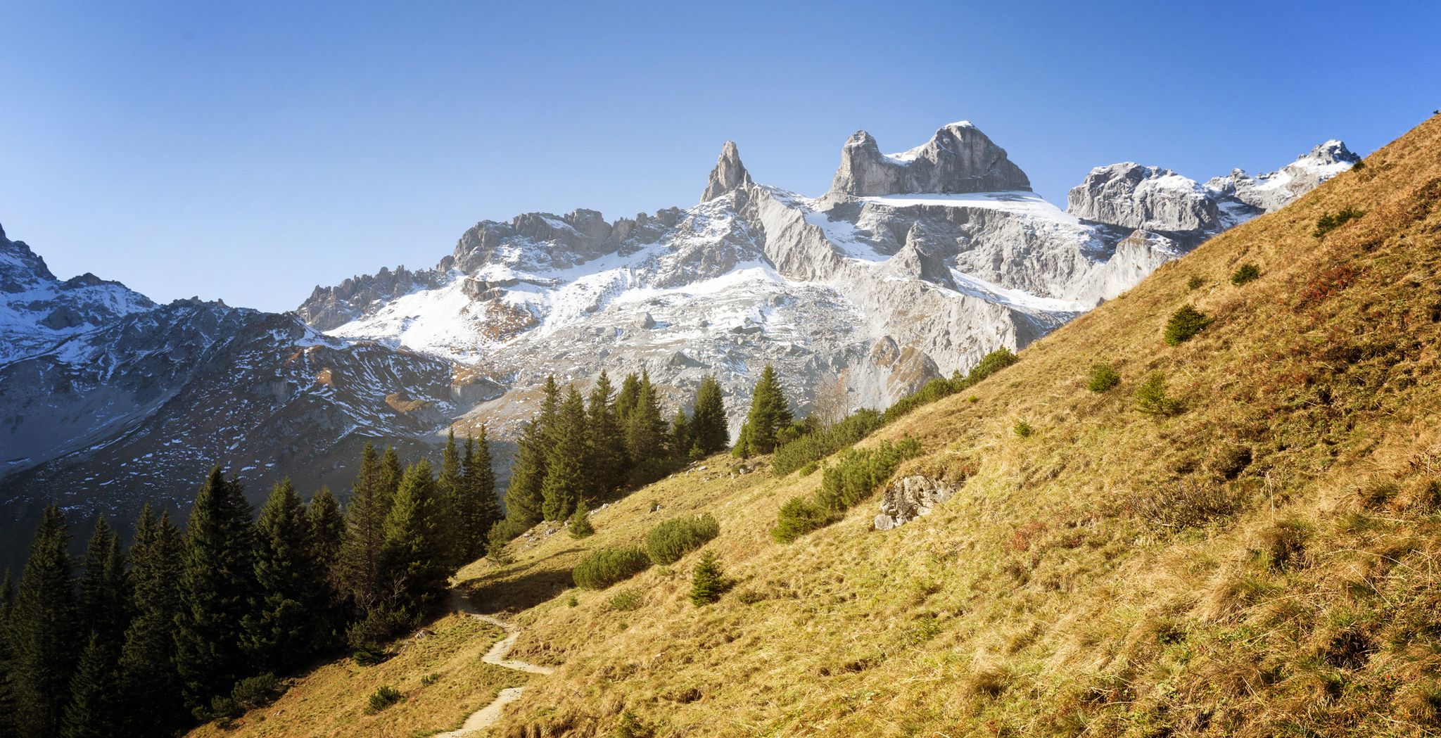
Alpine Mosaic Montafon — Austria’s Rätikon adventure area
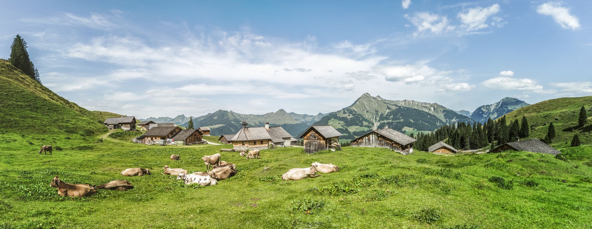
Fun on every path – alpine hiking in Austria’s Vorarlberg

An alpine adventure – from east to west through Austria
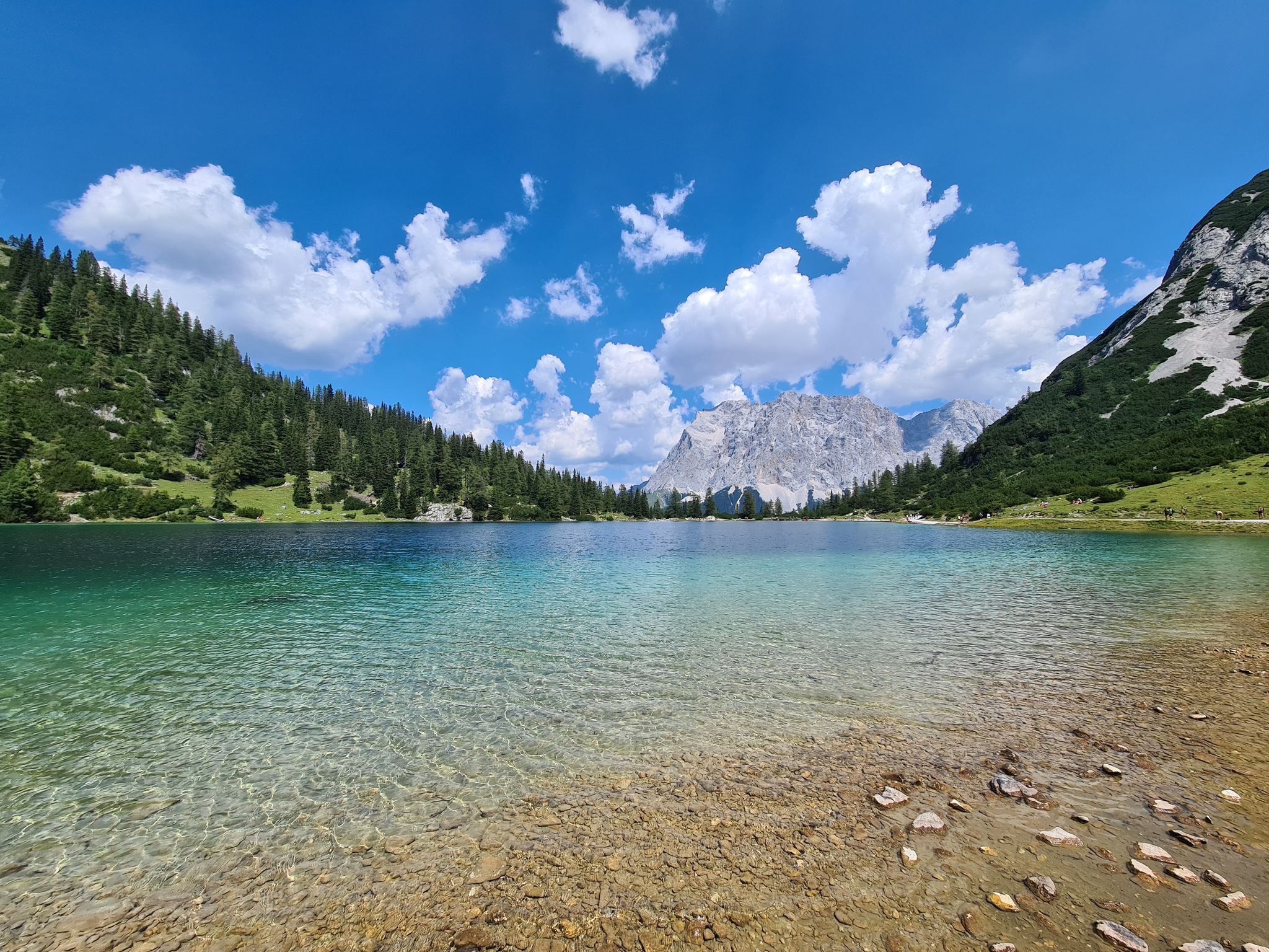
The most wonderful Alpine lakes
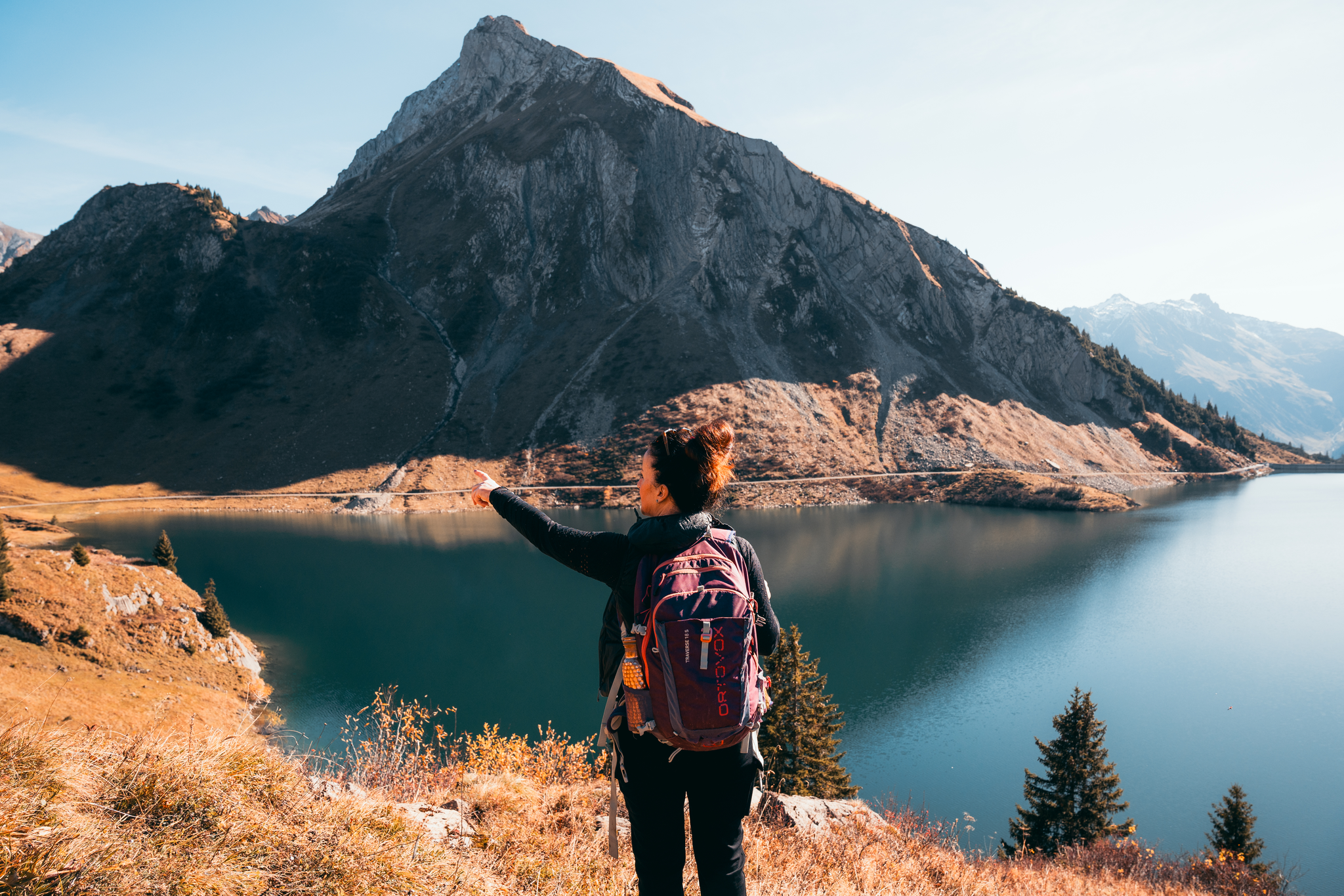
Alpine Herbstwanderungen – Wenn die Berge über Bludenz golden werden
Leicht durch den Herbst - Wandern rund um Bludenz
Other adventures in Geschützter Landschaftsteil Rellstal Und Lünerseegebiet


Tips from the Community

A nice quiet spot with a good mountain backdrop.
0
0

On 18.06.2013, the wooden bridge over the Kleine Ill was completed with the utmost care and craftsmanship, a work that impressively keeps the centuries-old art of timber construction alive. Under the expert guidance of their teachers, the students of HTL Rankweil planned and built this masterpiece on behalf of Stadtwerke Feldkirch. The last roof panel was carefully nailed on last Monday and the safety scaffolding was professionally removed. For the young timber construction experts, this project was far more than just a school assignment: it was a living experience, combining traditional craftsmanship with modern technology. The bridge now stands not only as a functional crossing over the Kleine Ill, but also as a symbol of the connection between past and future in timber construction. A proud testament to craftsmanship precision and architectural elegance in harmony with nature.
2
0


The Neolithic stone circles on the Tschengla plateau are considered part of a huge calendar complex dating from 5000 to 1900 BC. The orientation of the stone circles shows parallels to other prehistoric structures in Europe.
9
0
The Neolithic stone circles on the Tschengla plateau are considered part of a huge calendar complex dating from 5000 to 1900 BC. The orientation of the stone circles shows parallels to other prehistoric structures in Europe.
9
0

The stone circles discovered on Bürserberg are considered to be cult sites of our ancestors. Their astronomical orientation indicates a Neolithic calendar system.
3
0

beautiful cycle path from Brand towards Bürs, alternatively only the road remains
0
0

many possibilities to include trails!
0
0
Frequently Asked Questions
What kind of terrain can I expect on gravel bike trails in Geschützter Landschaftsteil Rellstal Und Lünerseegebiet?
The region offers a diverse mix of terrain, from challenging ascents and rugged rock formations in the Rätikon mountain range to picturesque alpine meadows and valleys like the Rellstal. You'll encounter forest paths, alpine tracks, and gravel roads, providing varied surfaces for your ride. Some routes may even require pushing your bike on particularly difficult unpaved segments.
How many gravel bike trails are available in Geschützter Landschaftsteil Rellstal Und Lünerseegebiet?
There are nearly 30 gravel bike trails available in Geschützter Landschaftsteil Rellstal Und Lünerseegebiet. These routes cater to a range of abilities, from moderate to difficult, ensuring there's something for every gravel biker.
Are there any family-friendly gravel biking options in the region?
While many routes in the region are rated as difficult due to significant elevation gain and varied alpine terrain, there are some options suitable for families or those seeking a less strenuous ride. Look for routes with 'moderate' difficulty ratings, which typically feature less extreme climbs and more accessible paths. The diverse landscape ensures scenic views even on easier sections.
What are some notable natural attractions or viewpoints along the gravel bike routes?
The region is rich in natural beauty. You can experience the stunning turquoise waters of the Lünersee, often considered one of the most beautiful places, or enjoy panoramic views from the Lünerkrinne. The majestic Rätikon mountain range provides dramatic backdrops, and valleys like the Rellstal and Zalimtal offer untouched nature with clear mountain streams and flowering meadows.
Where can I find places to rest or eat along the trails?
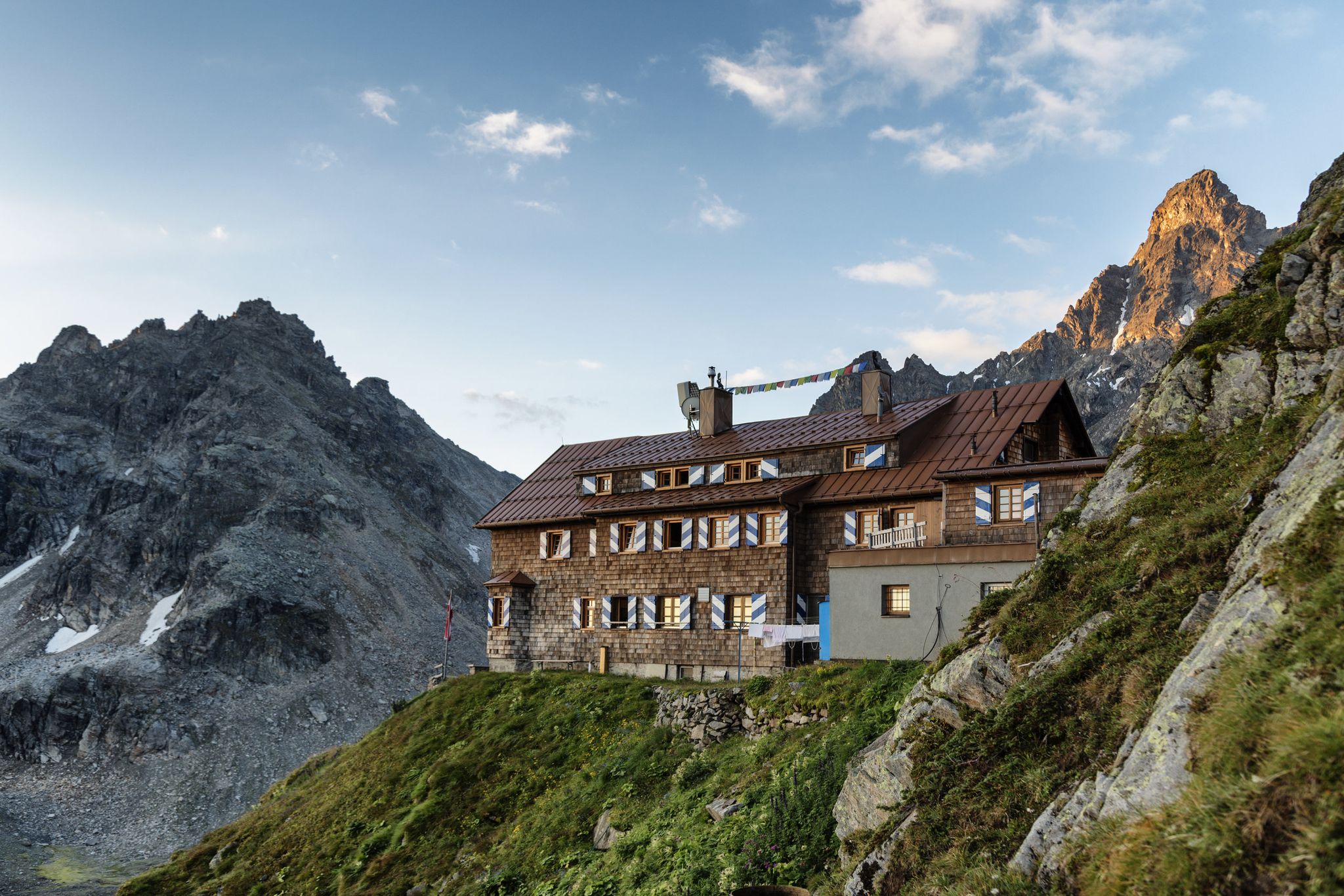
Several mountain huts provide excellent resting points and culinary experiences. The Douglass Hut at Lake Lünersee offers a large panoramic terrace with fantastic views. Other options include the Totalp Hut, known for its natural surroundings, and the Heinrich-Hüter-Hütte, beautifully situated at the foot of the Zimba peak.
What is the best time of year for gravel biking in Geschützter Landschaftsteil Rellstal Und Lünerseegebiet?
The warmer months, typically from late spring to early autumn, are ideal for gravel biking in this alpine region. During this time, the alpine meadows are in bloom, and the weather is generally more stable. Winter conditions can bring snow and ice, making many trails impassable or requiring specialized equipment and experience.
Are there any circular gravel bike routes in the area?
Yes, many of the gravel bike routes in Geschützter Landschaftsteil Rellstal Und Lünerseegebiet are designed as loops, allowing you to start and end at the same point. For example, the Tschoy Ride Trail – Alte Statt Trail loop from Brand and the View of Kops Reservoir – Kops Reservoir loop from St. Anton im Montafon are popular circular options.
What do other gravel bikers enjoy most about the trails here?
The area is highly rated by the komoot community, with an average score of 4.4 stars from over 50 reviews. Riders often praise the stunning alpine landscapes, the diverse terrain that keeps rides interesting, and the breathtaking natural attractions like the Lünersee. The challenging ascents and scenic trails are frequently highlighted as key attractions.
Are there any routes that offer views of the Brandnertal Valley?
Yes, the View of the Brandnertal Valley – View of Bürs and Bludenz loop from Bludenz Brunnenfeld is a popular trail that leads through the Brandnertal Valley, offering scenic vistas of the valley itself, as well as Bürs and Bludenz.
Can I find routes with significant elevation gain for a challenging ride?
Absolutely. Geschützter Landschaftsteil Rellstal Und Lünerseegebiet is known for its challenging ascents. Routes like the Brandnertal Gravel Tour feature over 1500 meters of elevation gain, providing a demanding experience for advanced gravel bikers.
Is public transport available to access the gravel biking trails?
The region has a well-developed infrastructure, and while specific public transport links directly to every trailhead might vary, many starting points are accessible. It's advisable to check local bus schedules or regional transport options for the Brandnertal and Montafon valleys, which serve as gateways to the protected landscape.
Are there any routes that pass by large reservoirs?
Yes, the View of Kops Reservoir – Kops Reservoir loop from St. Anton im Montafon is an extensive route that offers impressive views of the Kops Reservoir and covers a wide range of mountain landscapes.
Most popular routes in Geschützter Landschaftsteil Rellstal Und Lünerseegebiet
Most popular attractions in Geschützter Landschaftsteil Rellstal Und Lünerseegebiet

Get inspired with the komoot mobile app


Explore more
Browse the best Gravel rides in other regions.
