Easy hikes and walks in Geschützter Landschaftsteil Rellstal Und Lünerseegebiet
4.6
(15106)
84,074
hikers
898
hikes
Easy hiking trails in Geschützter Landschaftsteil Rellstal Und Lünerseegebiet navigate a landscape characterized by alpine terrain, including the prominent Lünersee mountain lake and the Rellstal valley. The region features diverse natural elements such as spruce forests, mountain pines, and rugged cliffs, particularly around the Schesaplana. Elevations range from valley floors to higher alpine pastures, offering varied gradients for hikers.
Best easy hiking trails in Geschützter Landschaftsteil Rellstal Und Lünerseegebiet
- The most popular easy hiking route is View of the Lünersee…
Last updated: July 14, 2026
4.3
(3)
63
hikers
2.80km
00:46
40m
40m
Easy hike. Great for any fitness level. Easily-accessible paths. Suitable for all skill levels.
4.4
(19)
89
hikers
6.25km
01:47
140m
140m
Easy hike. Great for any fitness level. Easily-accessible paths. Suitable for all skill levels.

Sign up for free
4.6
(18)
170
hikers
Easy hike. Great for any fitness level. Easily-accessible paths. Suitable for all skill levels.
4.4
(7)
42
hikers
Easy hike. Great for any fitness level. Easily-accessible paths. Suitable for all skill levels.
4.7
(13)
118
hikers
3.95km
01:10
110m
110m
Easy hike. Great for any fitness level. Easily-accessible paths. Suitable for all skill levels.
Get access to more routes and recommendations from other explorers.
Sign up for free
Already have an account?
Our route recommendations are based on thousands of hikes, rides, and runs completed by other people on komoot.
Start today with a free account
Your next adventure awaits.
Login or Signup
Popular around Geschützter Landschaftsteil Rellstal Und Lünerseegebiet
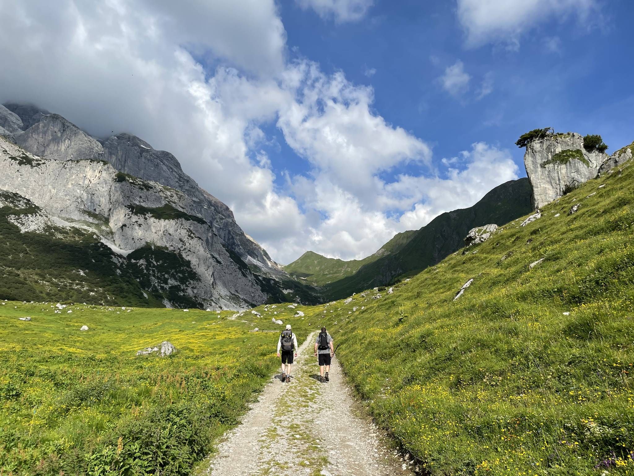
Montafon Hut-to-Hut Hiking Trail – 13 days in Western Austria
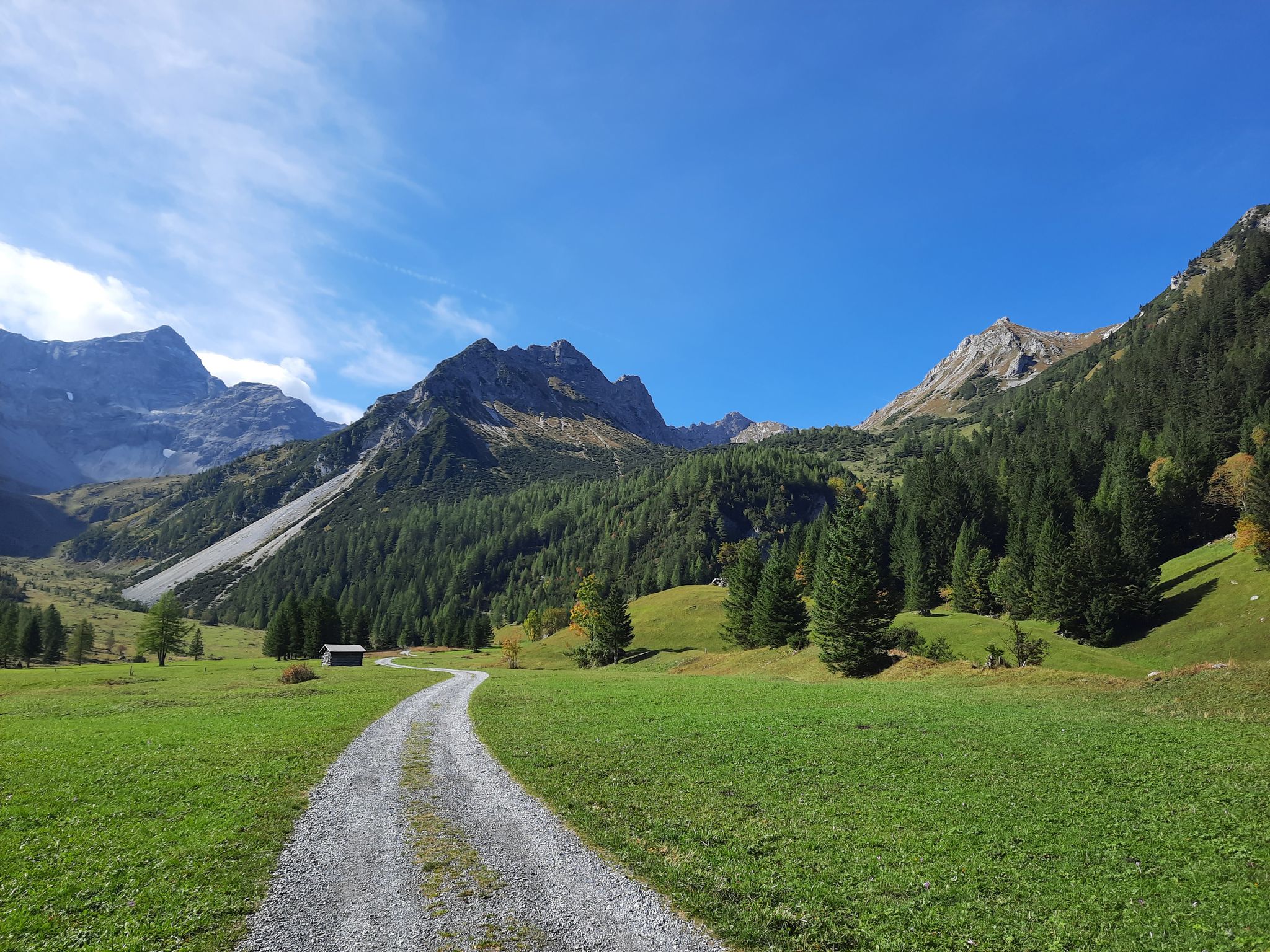
Autumn magic in Brandnertal – 6 hikes for the golden season
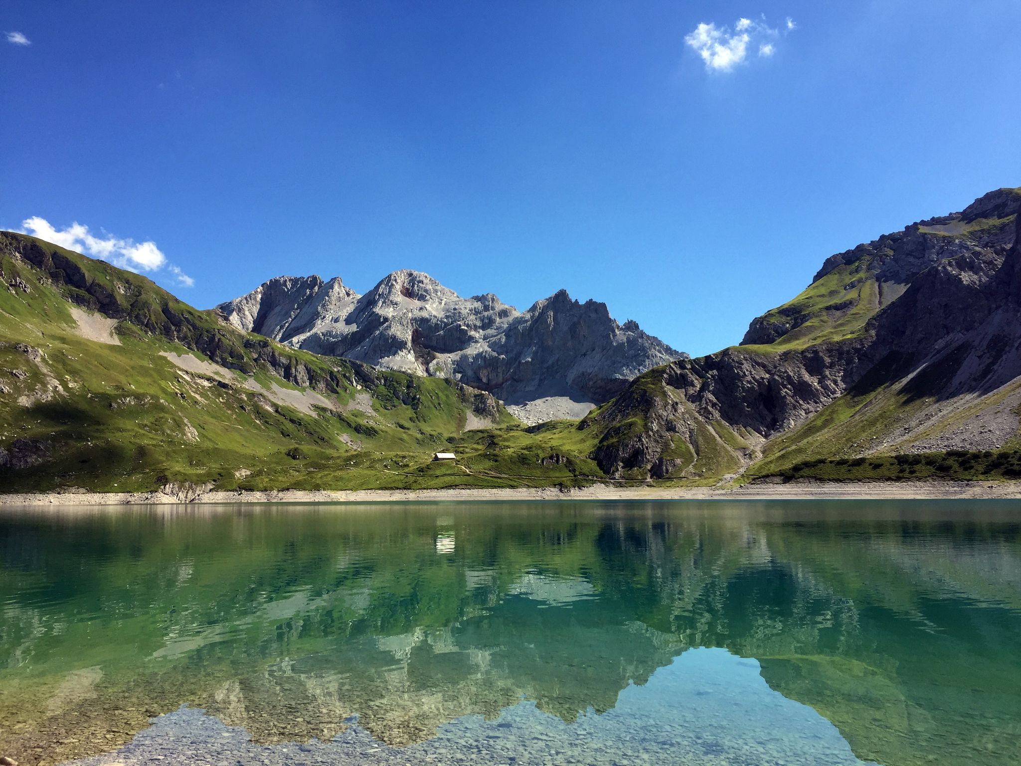
Mighty mountains and historic cities – hiking in Austria
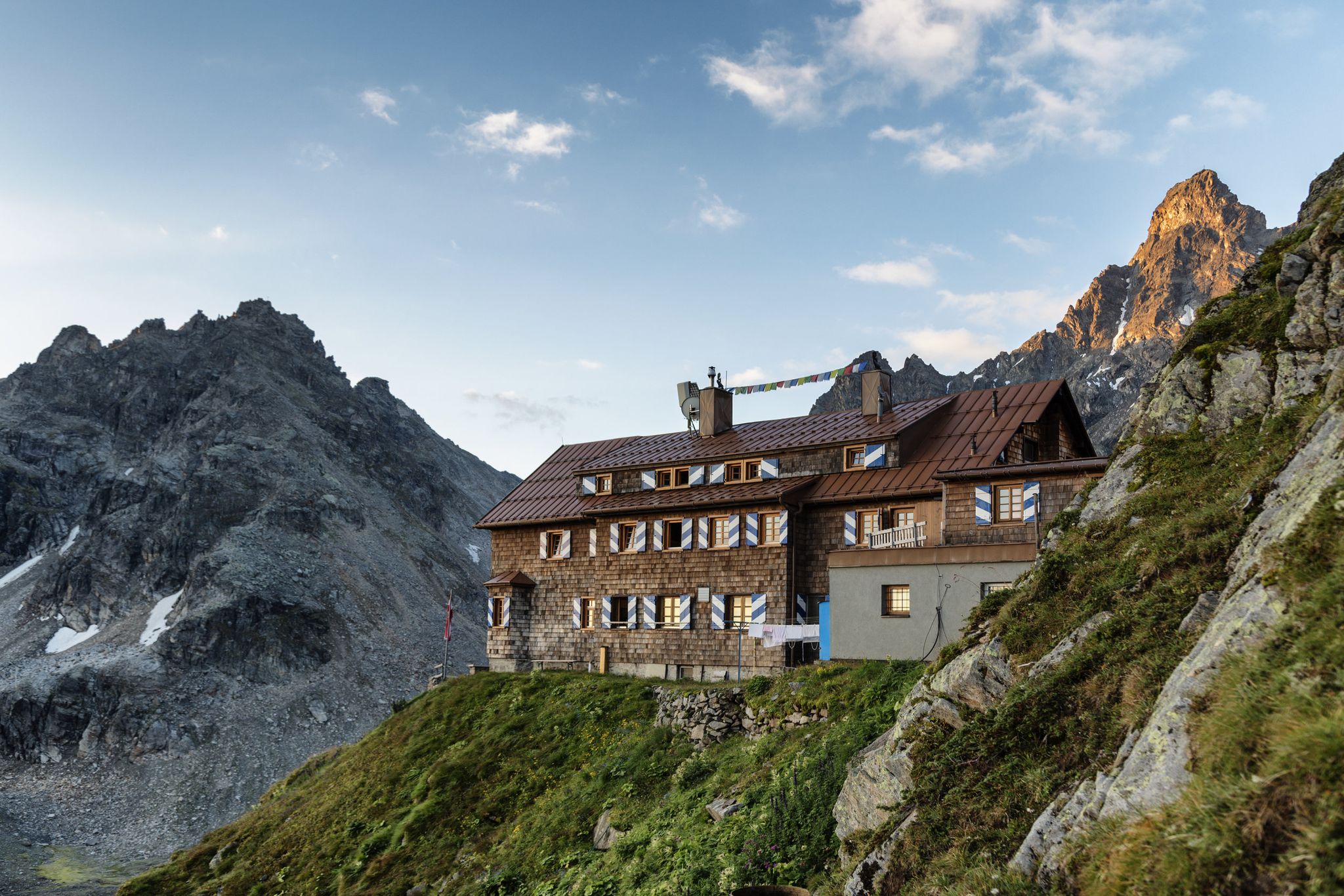
Alpenmosaik Montafon - The Montafoner Hüttenrunde
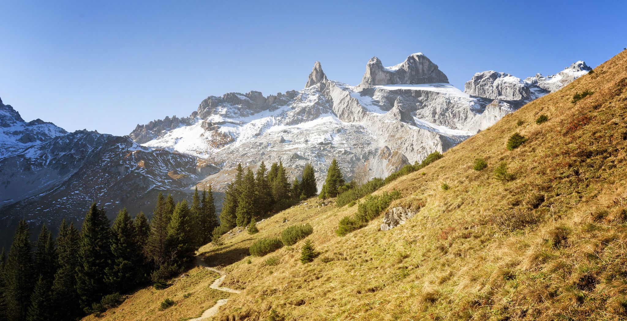
Alpine Mosaic Montafon — Austria’s Rätikon adventure area
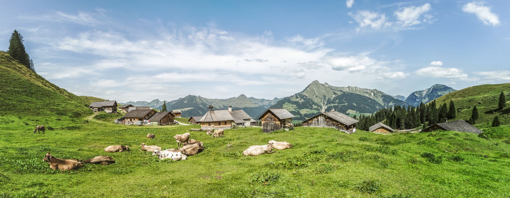
Fun on every path – alpine hiking in Austria’s Vorarlberg

An alpine adventure – from east to west through Austria
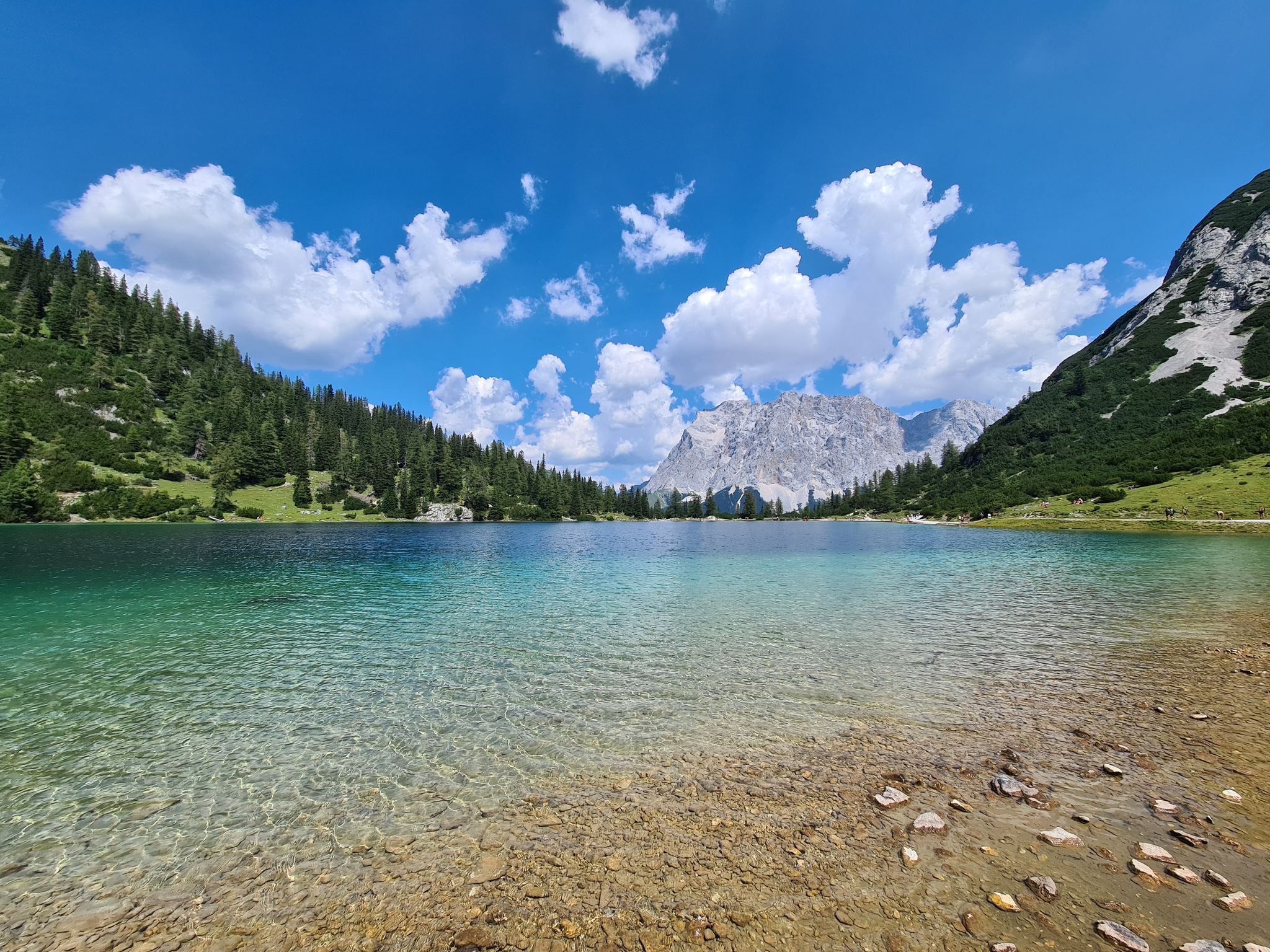
The most wonderful Alpine lakes
Other adventures in Geschützter Landschaftsteil Rellstal Und Lünerseegebiet


Tips from the Community

Situated at an altitude of 1,970 meters at the end of the Brandnertal, Lake Lünersee offers an unparalleled alpine backdrop. The deep blue water is surrounded by the rugged limestone peaks of the Rätikon Mountains, with the Schesaplana (2,965 m) standing as a proud guardian in the background.
0
0

Beautiful winter walk. Return by ski bus.
1
0

Old mystical tree with bench near the Alvierbach stream.
0
0

Photo spot frame #bergemitwow
9
0
There are several benches scattered around, great for relaxing.
8
1

About 100m to the right of the mountain station is a small, historic-looking building, which hikers often refer to as the “old customs house”.
8
0
The Lünersee, an old mountain lake transformed into a reservoir by a dam, is one of the largest lakes in the Austrian province of Vorarlberg. It is located in the municipality of Vandans. Its pumped-storage power plant, the Lünerseewerk, with an initial capacity of 225 MW, was for a long time the most powerful pumped-storage power plant in the world. Source: https://de.m.wikipedia.org/wiki/L%C3%BCnersee
8
1

A bench at the lake is so cute
1
1
Frequently Asked Questions
How many easy hiking trails are available in Geschützter Landschaftsteil Rellstal Und Lünerseegebiet?
There are over 300 easy hiking routes in Geschützter Landschaftsteil Rellstal Und Lünerseegebiet, offering a wide range of options for leisurely walks and family-friendly excursions.
Are there any easy circular routes around Lünersee?
Yes, the region is famous for its stunning View of the Lünersee – Lake Lüner loop from Lünersee. This easy 1.4-mile (2.2 km) trail takes about 36 minutes to complete and offers breathtaking views of the turquoise-blue waters of the Lünersee, set against the rugged cliffs of the Schesaplana.
Can I find easy trails that feature waterfalls?
Absolutely. Consider the Glingabrunn Waterfalls – View towards Lünersee loop from Brand. This easy 3-mile (4.9 km) route allows you to experience the Glingabrunn Waterfalls and offers views towards the iconic Lünersee.
What kind of natural features can I expect on easy hikes in the Rellstal valley?
The Rellstal valley offers a tranquil hiking experience through picturesque spruce forests and landscapes dotted with mountain pines. You'll enjoy classic alpine pasture scenery with views of peaks like Zimba and other Rätikon mountains. Trails here are generally less strenuous, providing a peaceful immersion in nature.
Are there any easy routes suitable for families with children?
Many easy trails in the region are family-friendly. The circular path around the Lünersee is particularly popular, offering relatively flat terrain and stunning views. Routes like the Brand in the Brandnertal – Kneipp Water Treading Pool loop from Brand, a 1.5-mile (2.5 km) trail, also provide a pleasant experience for all ages.
What do other hikers say about the easy trails in Geschützter Landschaftsteil Rellstal Und Lünerseegebiet?
The easy trails in this region are highly rated by the komoot community, with an average score of 4.5 stars from over 3,400 reviews. Hikers often praise the stunning alpine scenery, the well-maintained paths, and the accessibility of routes around the Lünersee and in the Rellstal valley.
Are there any mountain huts or places to rest along the easy trails?
Yes, the region is well-equipped with mountain huts. Near the Lünersee, you'll find the Douglass Hut at Lake Lünersee, offering fantastic panoramic views. In the Rellstal, the Heinrich Hueter Hut provides a welcome break. These huts typically offer food, drink, and a place to rest.
What is the best time of year for easy hikes in Geschützter Landschaftsteil Rellstal Und Lünerseegebiet?
The best time for easy hikes is generally from late spring through early autumn (May to October). During these months, the weather is milder, trails are clear of snow, and the alpine flora is in bloom. The Lünersee area is particularly beautiful in summer and early autumn.
How can I access the Rellstal valley for hiking, especially without a car?
The Rellstal valley is accessible by a dedicated hiking bus during peak season, making it convenient to reach trailheads without a car. This allows you to enjoy the tranquil spruce forests and mountain pines of the valley with ease.
Are there any easy routes that include interesting bridges or unique structures?
Yes, the Wooden Bridge Over the Alvier – Brand in the Brandnertal loop from Brand is an excellent choice. This easy 3.9-mile (6.3 km) path features a charming wooden bridge over the Alvier river and takes you through the scenic Brandnertal.
What are some notable viewpoints or landmarks I might encounter on easy trails?
On easy trails, you'll often encounter stunning views of the Lünersee, especially from its south shore (Lünersee South Shore). The majestic Schesaplana Summit, though a challenging ascent itself, provides a dramatic backdrop to many easier routes around the lake and in the Rellstal valley.
Most popular routes in Geschützter Landschaftsteil Rellstal Und Lünerseegebiet
Most popular attractions in Geschützter Landschaftsteil Rellstal Und Lünerseegebiet

Get inspired with the komoot mobile app


Explore more
Browse the best Hikes in other regions.
