The best gravel rides in Untere Allerniederung Bei Boye
4.4
(261)
685
riders
85
rides
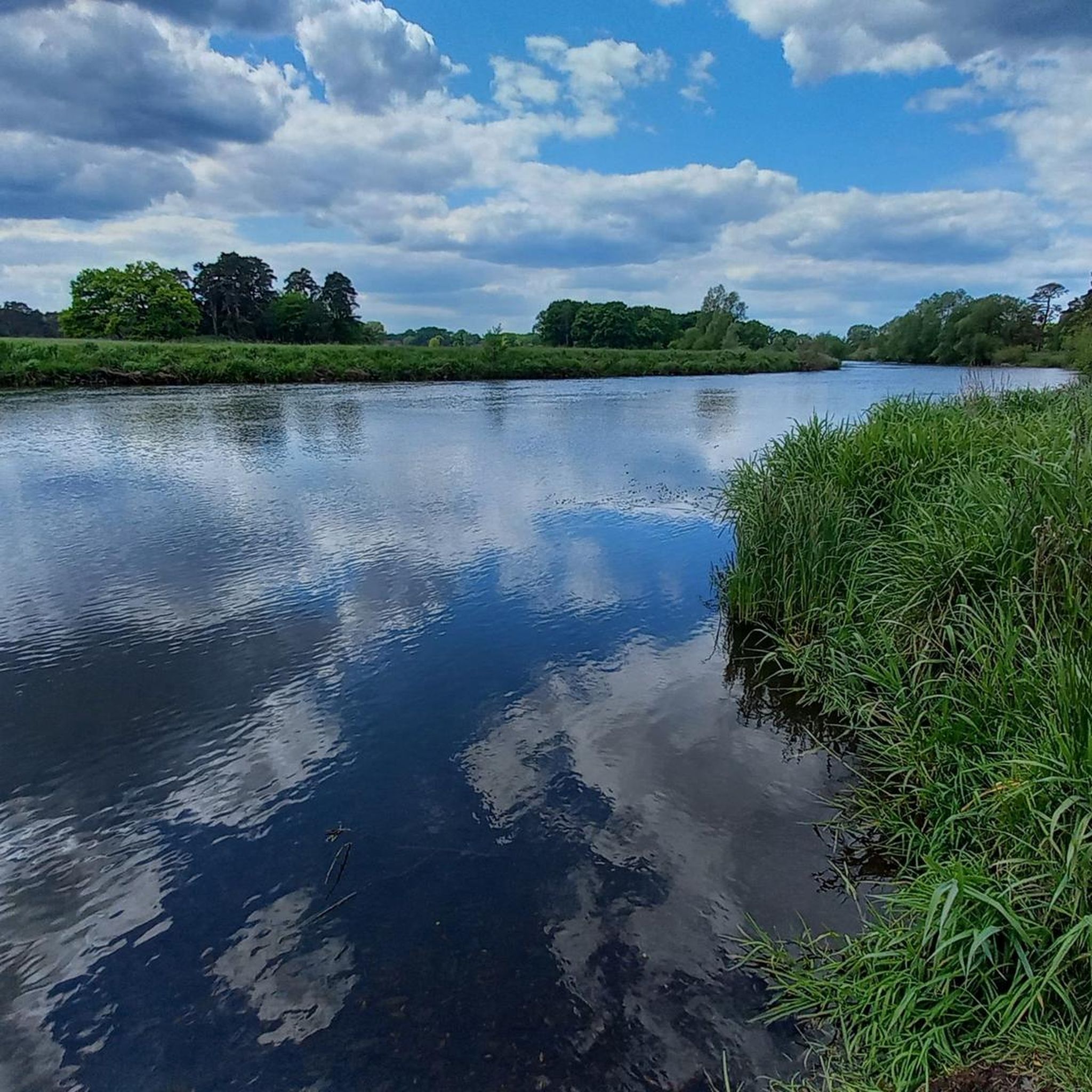
Gravel biking in Untere Allerniederung Bei Boye features routes through the lowlands of the Aller river, characterized by flat terrain, riverside paths, and agricultural landscapes. The region is defined by its diverse natural landscapes, including wet grasslands, distinct dune areas, and alluvial forests. These gravel bike trails provide opportunities for extended rides with minimal elevation changes across varied surfaces. As a nature reserve, the area offers an undisturbed and immersive experience in nature.
Best gravel bike trails in Untere Allerniederung…
Last updated: July 3, 2026
4.8
(38)
46
riders
41.7km
02:29
70m
70m
Moderate gravel ride. Good fitness required. Mostly paved surfaces. Suitable for all skill levels.
4.4
(16)
44
riders
57.3km
03:12
140m
140m
Moderate gravel ride. Good fitness required. Mostly paved surfaces. Suitable for all skill levels.

Sign up for free
4.4
(10)
30
riders
32.7km
01:50
40m
40m
Easy gravel ride. Great for any fitness level. Mostly paved surfaces. Suitable for all skill levels.
4.5
(19)
67
riders
Easy gravel ride. Great for any fitness level. Mostly paved surfaces. Suitable for all skill levels.
4.9
(17)
19
riders
54.4km
03:05
80m
80m
Moderate gravel ride. Good fitness required. Mostly paved surfaces. Suitable for all skill levels.
Get access to more routes and recommendations from other explorers.
Sign up for free
Already have an account?
Our route recommendations are based on thousands of hikes, rides, and runs completed by other people on komoot.
Start today with a free account
Your next adventure awaits.
Login or Signup
Tips from the Community

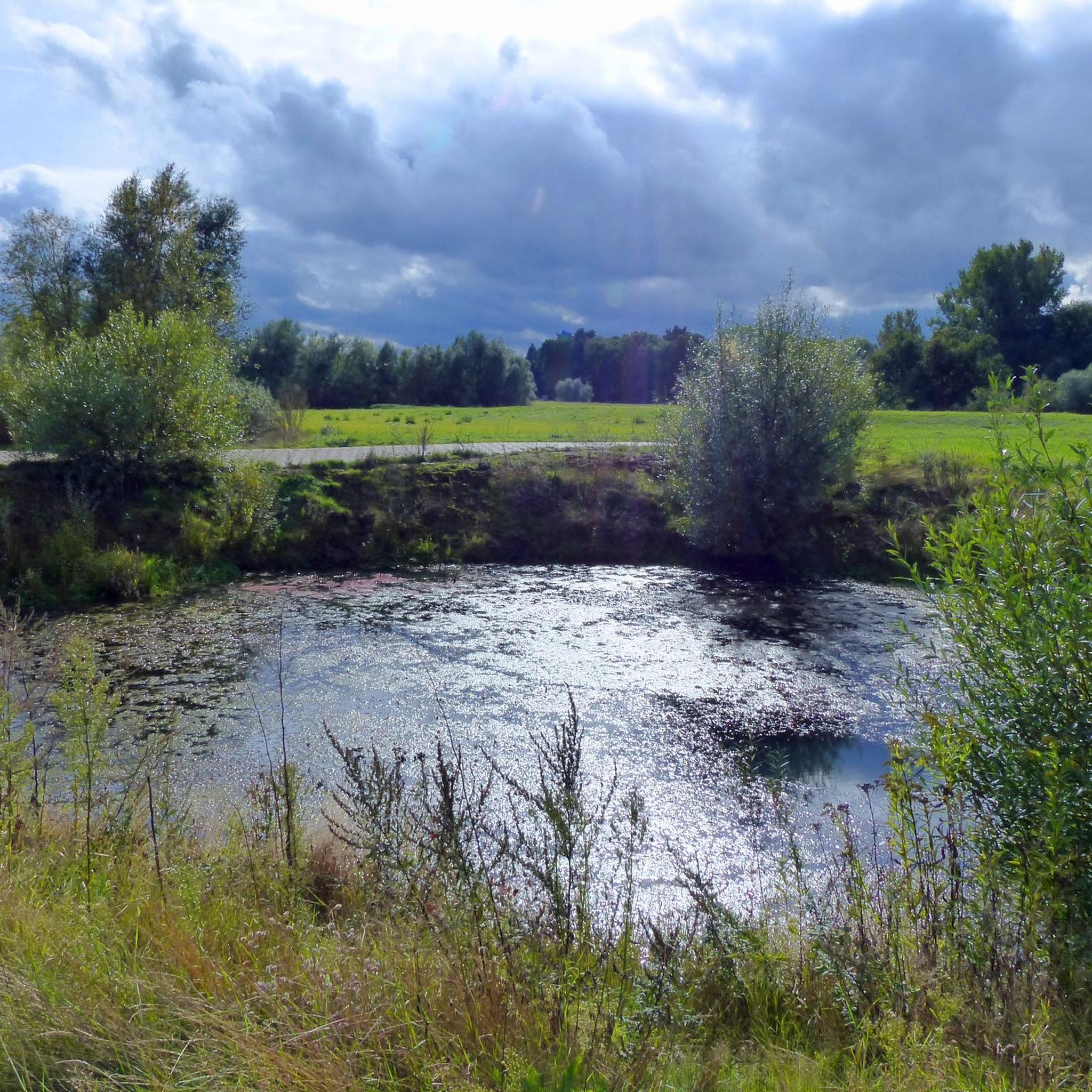
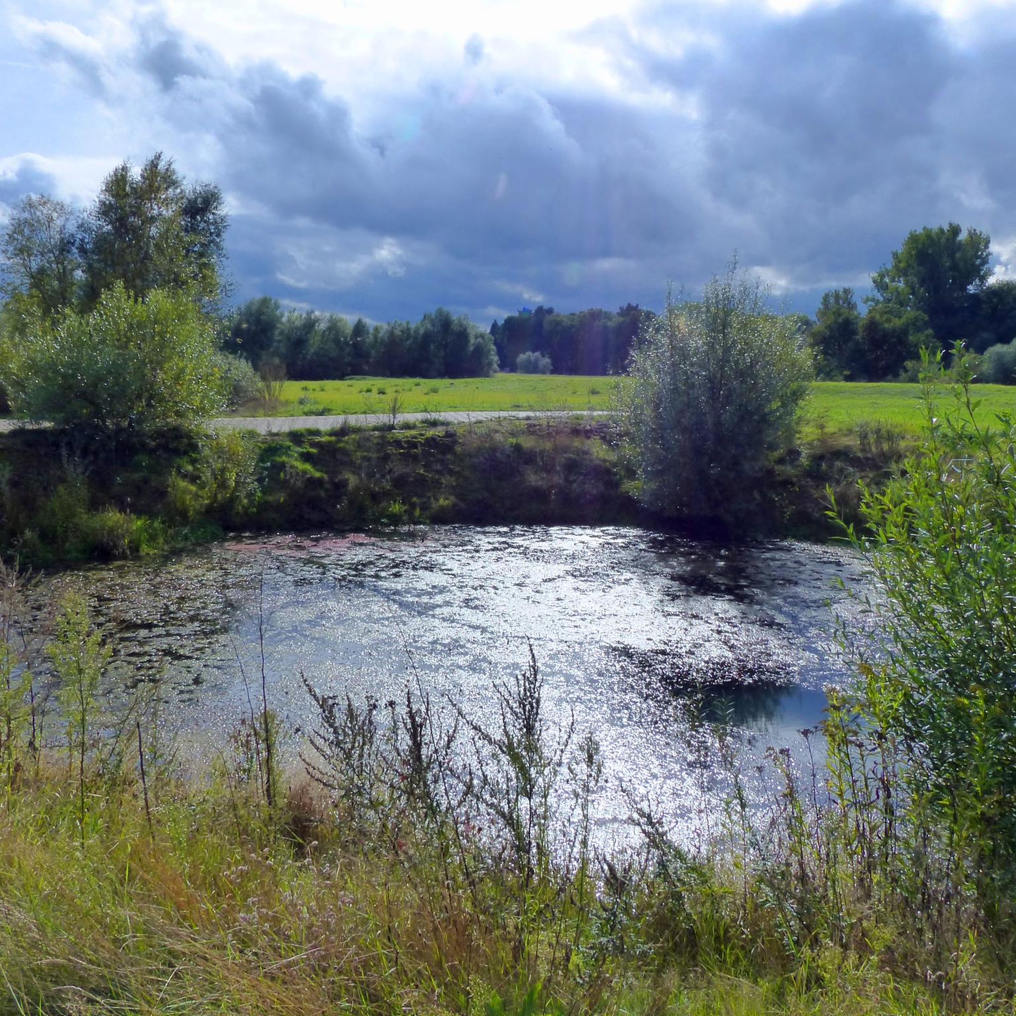
The Angelbecksteich is surrounded on one side by a pretty heathland... A magnificent sight, especially during the flowering season.
1
0

The Oldendorf gravel pits are a scenic area, ideal for cycling and nature observation. Formed by gravel mining, lakes and wetlands have formed here, which today provide habitat for numerous bird species and other animals. The paths around the ponds are easily accessible and invite you to take a relaxing bike ride. The diverse flora and fauna can be enjoyed, especially in spring and autumn.
0
0

It can be crossed without any problems, of course, just pay attention to the traffic lights.
1
0

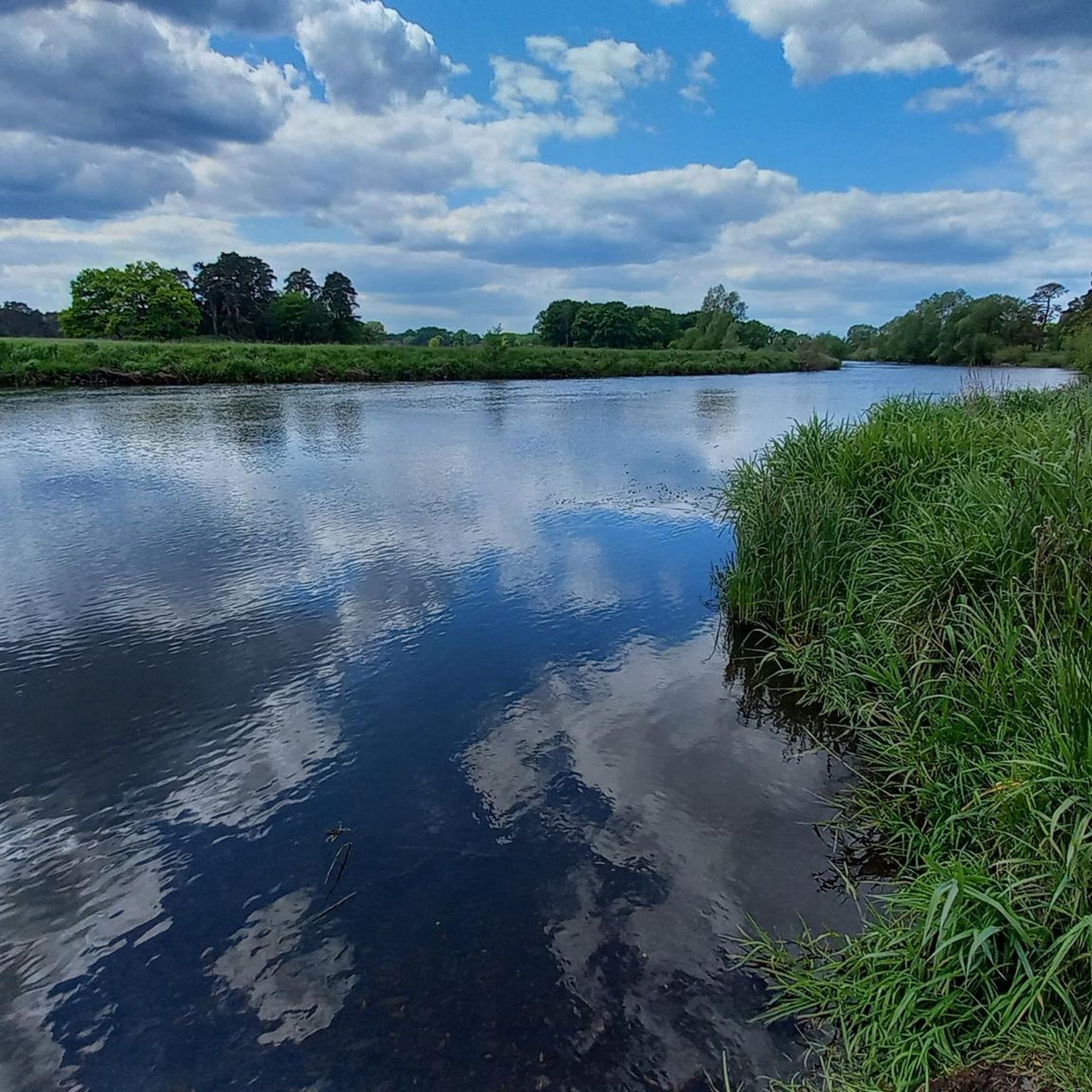
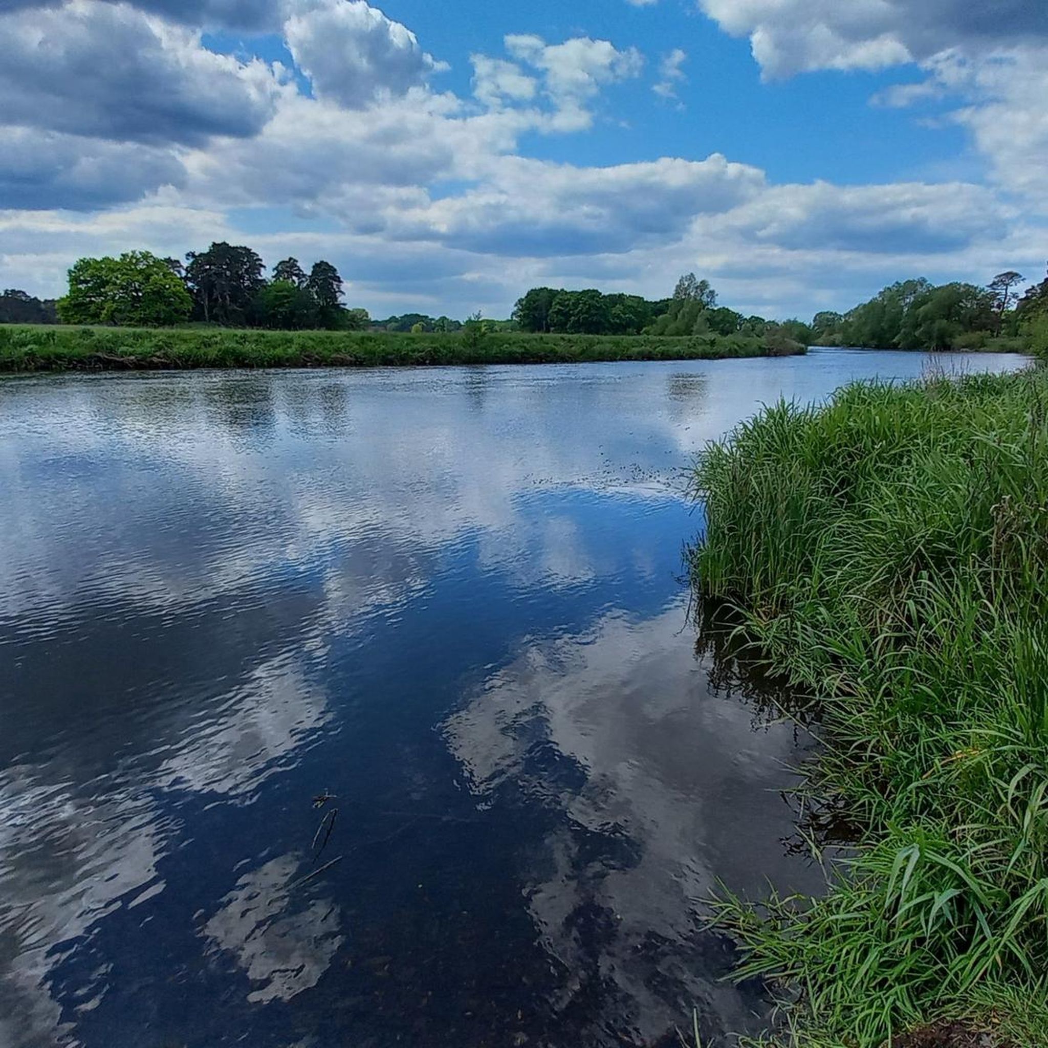
From here you have a wonderful view of the Aller in both directions.
0
0

Beautiful path, no obstacles, a very pleasant ride
0
0

Beautiful historic farm with museum
2
0
The Bannetze Lock on the Aller River is a historically significant lock dating from the early 20th century and is one of the few remaining lock systems along the Aller. It is still technically functional and has been self-operated since 1999 – recreational boats can pass through it independently at the push of a button. The lock is freely accessible and located directly on the Aller Cycle Path, making it a popular stop for cyclists. Information panels on site provide insights into the history and operation of the lock, which remains a striking technical monument in a natural setting.
5
0

wonderful memories (SB) 📸
0
0
Frequently Asked Questions
How many gravel bike trails are available in Untere Allerniederung Bei Boye?
There are over 115 gravel bike trails available in Untere Allerniederung Bei Boye, offering a wide range of options for different skill levels and preferences.
Are there easy gravel bike trails suitable for beginners in Untere Allerniederung Bei Boye?
Yes, the region offers a good selection of easy gravel bike trails. Approximately 44 routes are classified as easy, perfect for beginners or those looking for a relaxed ride. An example is the View of the River Aller – Aller Cycle Path near Oldau loop from Celle, which is an easy 31.7 km route.
Can I find longer distance gravel cycling routes in the region?
Absolutely. For those seeking longer rides, Untere Allerniederung Bei Boye has numerous options. About 52 routes are classified as moderate, with some extending over 50 km. The Eversen Mill Pond – Picnic Area at Angelbeck Pond loop from Celle is a moderate 57.2 km trail, and the Allerwehr Bannetze – Aller Cycle Path near Oldau loop from Celle covers 54.4 km.
What is the best time of year to go gravel biking in Untere Allerniederung Bei Boye?
The best time for gravel biking in Untere Allerniederung Bei Boye is typically from spring to autumn (April to October). During these months, the weather is generally mild, and the trails are in good condition. The flat terrain and riverside paths are particularly enjoyable when the landscape is green and vibrant.
What are the typical trail conditions like in Untere Allerniederung Bei Boye?
The gravel trails in Untere Allerniederung Bei Boye are characterized by flat terrain, often following riverside paths and agricultural landscapes. You can expect a mix of well-maintained gravel paths, paved sections, and sometimes singletrack along canals, as seen on the Singletrack Along the Canal – Allerrandweg loop from Celle. The region's low elevation means minimal climbing.
Are there family-friendly gravel biking options in Untere Allerniederung Bei Boye?
Yes, many of the easy and flat routes are suitable for families. The gentle gradients and scenic riverside paths make for a pleasant experience for all ages. Look for routes classified as 'easy' for the most family-friendly options.
Are there circular gravel bike routes available?
Yes, the majority of the gravel bike routes in Untere Allerniederung Bei Boye are designed as loops, allowing you to start and end at the same point. This is convenient for parking and planning your ride. Examples include the Celle Castle Moat – Pfennig Bridge, Celle loop from Allerniederung bei Klein Hehlen und Celle and the Eversen Mill Pond – Picnic Area at Angelbeck Pond loop from Celle.
What kind of scenery or viewpoints can I expect on these gravel bike routes?
The routes offer picturesque views of the Aller river lowlands, open meadows, and quiet country lanes. You'll often ride alongside waterways, through agricultural fields, and past charming villages. Highlights include the Aller Cycle Path in the Lower Aller Floodplain near Boye and the Wood pasture Lower Aller Lowlands near Boye.
What are some interesting places to explore or landmarks near the gravel trails?
Along the trails, you can explore natural and cultural highlights. The Aller Cycle Path itself is a point of interest, as is the Wood pasture Lower Aller Lowlands near Boye. You might also encounter the Tree Trail in the Alleraue or the serene Aller Meadow, offering peaceful spots to pause.
What do other gravel bikers enjoy most about the trails in Untere Allerniederung Bei Boye?
The area is highly rated by the komoot community, with an average score of 4.5 stars from over 250 reviews. Reviewers often praise the flat, scenic routes along the Aller river, the peaceful rural landscapes, and the well-maintained paths that make for enjoyable and accessible gravel biking.
Where can I find parking for gravel bike trails in Untere Allerniederung Bei Boye?
Parking is generally available in and around the starting points of many routes, particularly in towns like Celle or smaller villages. Since many routes are loops, you can often find public parking near the suggested start/end points. Specific parking information is usually detailed on individual route pages on komoot.
Is public transport available to access the gravel trails in Untere Allerniederung Bei Boye?
Yes, public transport can be used to reach the region. Celle, a central hub for many of these routes, is accessible by train. From there, local buses or short rides can connect you to various trailheads. It's advisable to check local public transport schedules for specific connections to your chosen starting point.
Most popular routes in Untere Allerniederung Bei Boye
Most popular attractions in Untere Allerniederung Bei Boye

Get inspired with the komoot mobile app


Explore more
Browse the best Gravel rides in other regions.
