The best walks and hikes in Untere Allerniederung Bei Boye
4.5
(2842)
12,011
hikers
18
hikes
Hiking in Untere Allerniederung Bei Boye offers routes through a nature reserve characterized by the Aller River and its dynamic floodplain. The landscape features a mosaic of meadows, wetlands, and woodlands, with virtually no elevation gain. It includes soft- and hardwood riparian forests, as well as dune areas with dry grasslands and heathlands. This protected area provides a setting for exploring riverine ecosystems and forested paths.
Best hiking trails in Untere Allerniederung Bei Boye
- The most popular hiking route is Köllner's Country House – Rest Area by the Aller loop from Untere Allerniederung bei Boye, a 2.5 miles (4.1 km) trail that takes 1 hour 2 minutes to complete. This easy route features minimal elevation gain along the Aller.
- Another top favourite among local hikers is Caroline Mathilde Arbor loop from Untere Allerniederung bei Boye, an easy 1.8 miles (2.9 km) path. This trail leads through varied riverine landscapes and forests.
- Local hikers also love the Aller Meadow – Waldsee Klein Hehlen loop from Untere Allerniederung bei Boye, a 2.4 miles (3.9 km) trail leading through meadows and by the Waldsee, often completed in about 59 minutes.
- Hiking in Untere Allerniederung Bei Boye is defined by river floodplains, riparian forests, and dune areas. The network of routes offers options for different ability levels.
- The routes in Untere Allerniederung Bei Boye are highly rated by the komoot community with an average score of 4.5 stars from more than 2,700 reviews. More than 12,000 hikers have used komoot to explore Untere Allerniederung Bei Boye's varied terrain.
Last updated: July 10, 2026
4.8
(14)
41
hikers
Easy hike. Great for any fitness level. Easily-accessible paths. Suitable for all skill levels.
4.6
(7)
22
hikers
Easy hike. Great for any fitness level. Easily-accessible paths. Suitable for all skill levels.

Sign up for free
26
hikers
5.36km
01:21
10m
10m
Easy hike. Great for any fitness level. Easily-accessible paths. Suitable for all skill levels.
3.9
(7)
16
hikers
Moderate hike. Good fitness required. Easily-accessible paths. Suitable for all skill levels.
5.0
(2)
14
hikers
Moderate hike. Good fitness required. Easily-accessible paths. Suitable for all skill levels.
Get access to more routes and recommendations from other explorers.
Sign up for free
Already have an account?
Our route recommendations are based on thousands of hikes, rides, and runs completed by other people on komoot.
Start today with a free account
Your next adventure awaits.
Login or Signup

Tips from the Community

On the roadside there are some imposing historical oaks
1
0
Bank in the shade of the trees... but the view is not very impressive...
1
0

A beautiful orchard directly on the Aller River. Orchard meadows characterize the landscape, preserving fruit varieties and biodiversity.
0
0
A beautiful bench, already somewhat covered in moss, invites you to take a break.
0
0
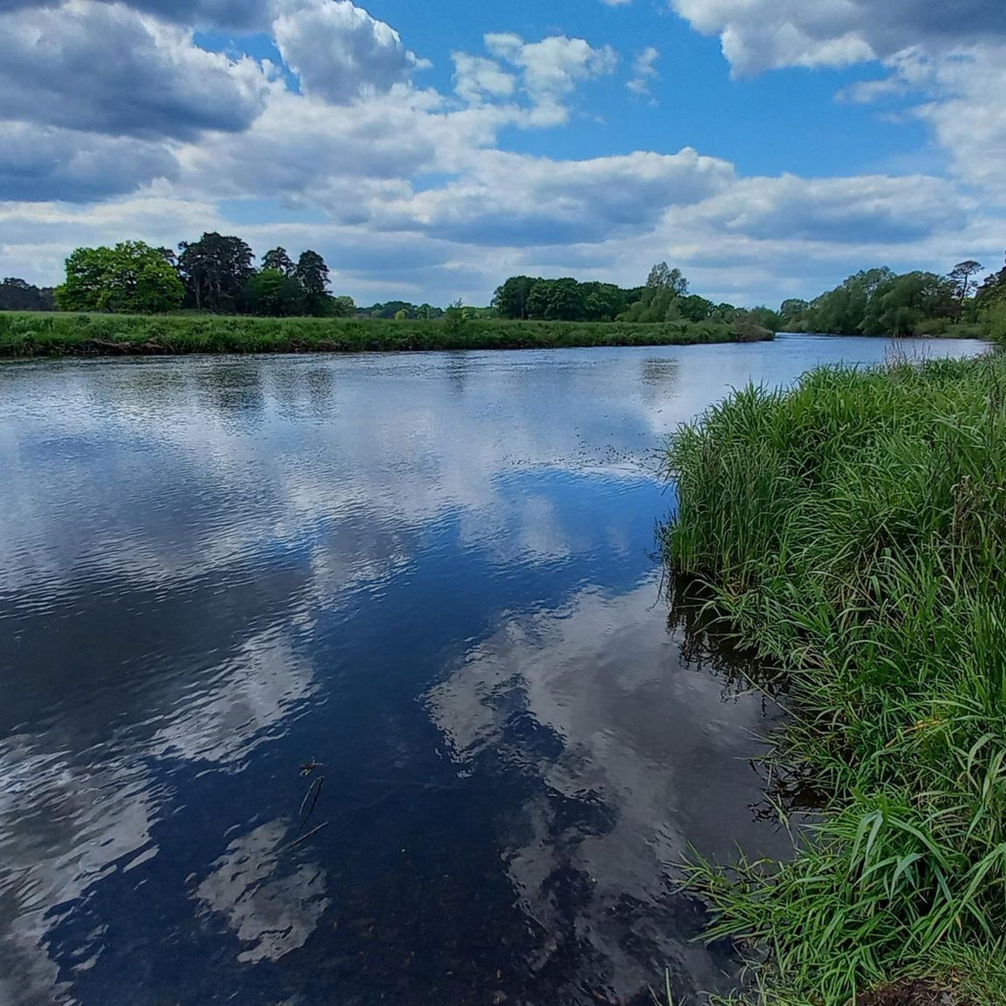
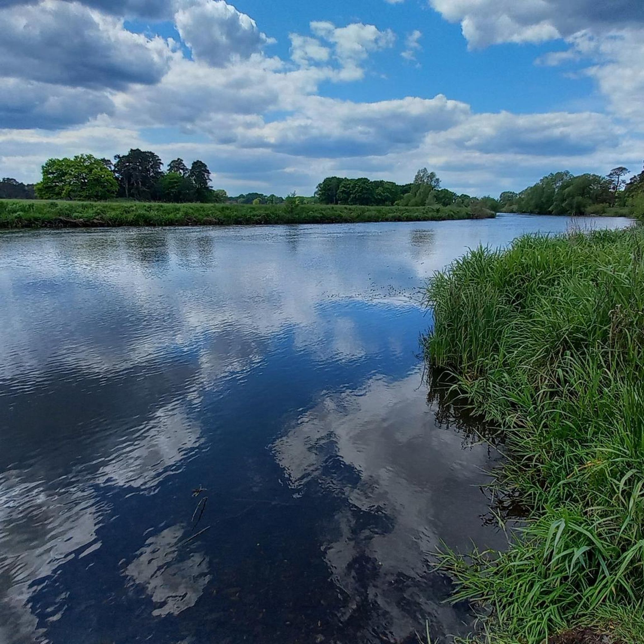
Here you can catch a lovely view of the Aller.
0
0

The memorial stone in Boye commemorates the first documented mention of the village in 1235 under the name "Boie". It is clearly visible at an intersection, directly in the old center of today's Celle district. The historical significance dates back to a land sale by Hermann von Meinersen to Duchess Agnes, who donated the area to Wienhausen Monastery. For centuries, Boye was assigned to the Groß Hehlen parish and was incorporated into Celle in 1968 as part of the regional reform. Benches in the immediate vicinity invite cyclists to take a short break - especially for those who are on cycling tours through the southern Celle region.
1
0

The bench is amazing, during the summer it's in the shade most of the time, during the winter it's a nice place to soak up sun when it's a clear day.
0
0
Really nice place to make a break and chill out a bit.
0
0
Frequently Asked Questions
How many hiking trails are available in Untere Allerniederung Bei Boye?
The Untere Allerniederung Bei Boye region offers a wide selection of hiking routes, with over 860 trails recorded on komoot. This includes more than 610 easy routes, 230 moderate trails, and a few more challenging options, ensuring there's something for every hiker.
What kind of terrain can I expect on hikes in Untere Allerniederung Bei Boye?
The terrain in Untere Allerniederung Bei Boye is quite diverse, shaped by the Aller River and its dynamic floodplain. You'll encounter moist grasslands, soft-wood and hard-wood riparian forests, and sections of the Neustädter Holz with oak and beech. There are also unique dune areas featuring dry grasslands and heathlands, providing varied landscapes for exploration.
Are there any family-friendly hiking options in Untere Allerniederung Bei Boye?
Yes, the region is well-suited for family outings. Many trails are relatively flat and easy, making them ideal for all ages. For example, the Caroline Mathilde Arbor loop from Untere Allerniederung bei Boye is a shorter, easy route perfect for a leisurely family walk.
Can I bring my dog on the hiking trails in Untere Allerniederung Bei Boye?
Most trails in Untere Allerniederung Bei Boye are dog-friendly, allowing you to enjoy the natural beauty with your canine companion. However, as it is a nature reserve, it's important to keep your dog on a leash to protect local wildlife and respect other hikers. Always check local signage for any specific restrictions.
What natural features or landmarks can I see while hiking here?
Hikers can discover a variety of natural features and points of interest. The area is defined by the Aller River and its floodplains, riparian forests, and unique dune landscapes. You might also encounter the Wood pasture Lower Aller Lowlands near Boye, where Scottish Highland cattle graze, or explore the Tree Trail in the Alleraue.
What is the best time of year to hike in Untere Allerniederung Bei Boye?
Spring and autumn are particularly beautiful for hiking in Untere Allerniederung Bei Boye. In spring, the floodplains come alive with fresh greenery and bird activity, while autumn offers stunning foliage in the riparian forests. Summer is also pleasant, though some areas might be more prone to flooding after heavy rains, especially near the Aller River.
Are there circular hiking routes available?
Yes, many of the trails in Untere Allerniederung Bei Boye are circular, offering convenient starting and ending points. A popular circular option is the Rest Area by the Aller – Sandy Path Through the Forest loop from Untere Allerniederung bei Boye, which provides a varied experience through forests and along the river.
What kind of wildlife might I spot during a hike?
The diverse ecosystem of Untere Allerniederung Bei Boye supports a rich array of wildlife. Keep an eye out for otters and beavers along the Aller River. Birdwatchers might spot kingfishers, grey herons, and cormorants, especially in the adjacent landscape protection area. The forests are also home to various bat species.
What do other hikers say about the trails in Untere Allerniederung Bei Boye?
The hiking trails in Untere Allerniederung Bei Boye are highly regarded by the komoot community, holding an average rating of 4.5 stars from over 2,700 reviews. Hikers frequently praise the peaceful riverine landscapes, the well-maintained paths through diverse forests, and the opportunities for nature observation.
Are there any easy routes for beginners or those looking for a relaxed walk?
Absolutely. The majority of trails in Untere Allerniederung Bei Boye are classified as easy, making them perfect for beginners or those seeking a gentle stroll. The Waldsee Klein Hehlen – Aller Meadow loop from Untere Allerniederung bei Boye is an easy 4.3-mile route that takes you through meadows and past the Waldsee, offering a relaxing experience.
How can I reach the hiking areas in Untere Allerniederung Bei Boye by public transport?
While specific public transport connections directly to every trailhead might vary, the region is generally accessible. It's advisable to check local bus schedules to nearby towns like Celle, and then plan your route to the nature reserve. Some trailheads might be a short walk or taxi ride from the nearest public transport stop.
Is there parking available near the trailheads?
Yes, parking facilities are typically available at common starting points for hikes within and around Untere Allerniederung Bei Boye. These are often located near popular access points or villages bordering the nature reserve. Look for designated parking areas to ensure you're not obstructing local traffic or private property.
Most popular routes in Untere Allerniederung Bei Boye
Most popular attractions in Untere Allerniederung Bei Boye

Get inspired with the komoot mobile app


Explore more
Browse the best Hikes in other regions.
