Körbaer Teich Und Niederungslandschaft Am Schweinitzer Fließ
Körbaer Teich Und Niederungslandschaft Am Schweinitzer Fließ
The best gravel rides in Körbaer Teich Und Niederungslandschaft Am Schweinitzer Fließ
9
riders
3
rides
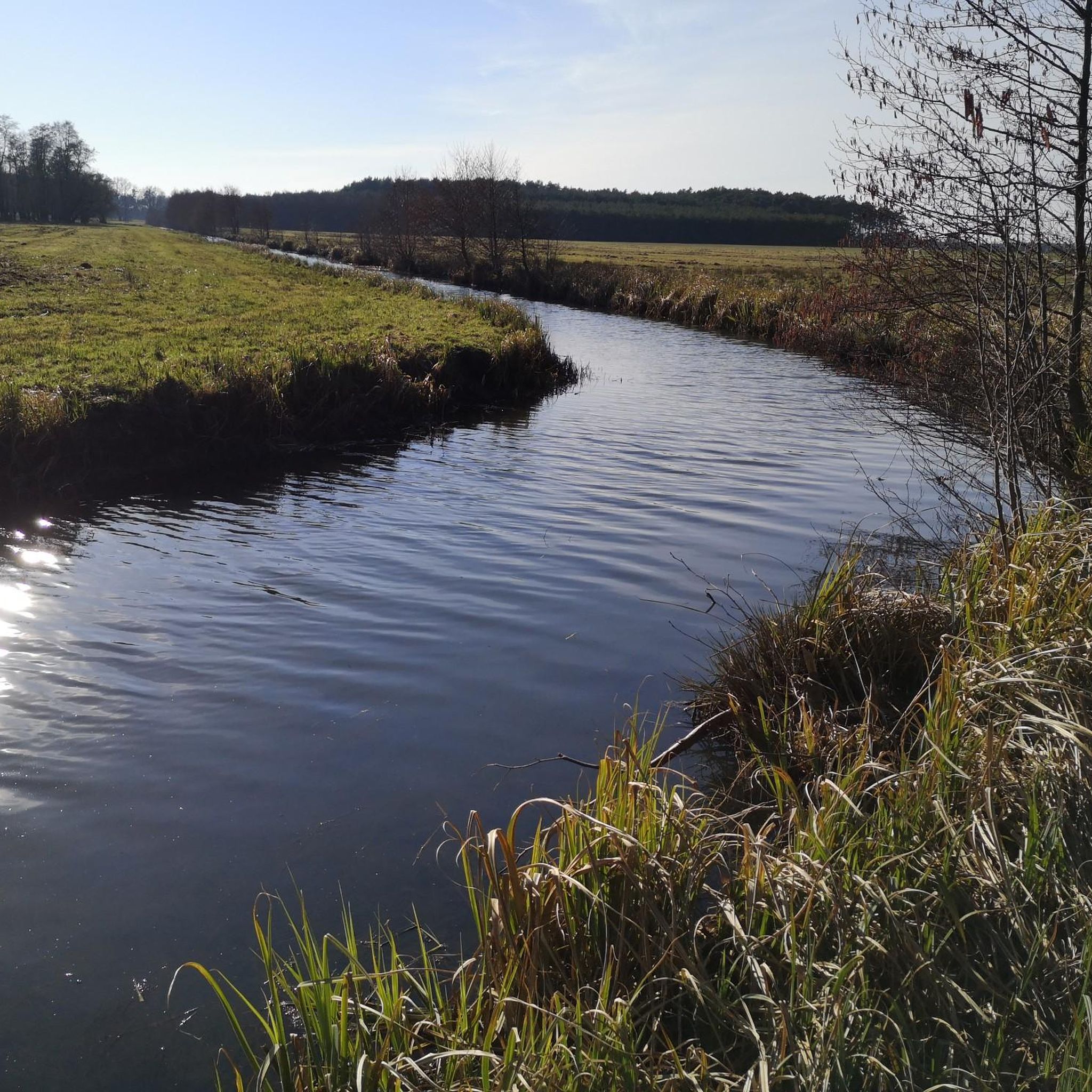
Gravel biking in Körbaer Teich Und Niederungslandschaft Am Schweinitzer Fließ offers routes through a lowland landscape characterized by the Schweinitzer Fließ stream and the Körbaer Teich pond. The region features open fields, agricultural areas, and sections of mixed woodland. The terrain is generally flat to gently rolling, providing accessible gravel paths suitable for various skill levels.
Best gravel bike trails in Körbaer Teich Und Niederungslandschaft Am Schweinitzer Fließ
- The most popular gravel bike trail is Dahme Castle Ruins – Dahme…
Last updated: July 3, 2026
3
riders
57.9km
03:55
290m
290m
Moderate gravel ride. Good fitness required. Mostly paved surfaces. Suitable for all skill levels.
2
riders
61.8km
04:06
350m
350m
Moderate gravel ride. Good fitness required. Mostly paved surfaces. Suitable for all skill levels.

Sign up for free
2
riders
50.4km
03:19
230m
230m
Moderate gravel ride. Good fitness required. Mostly paved surfaces. Suitable for all skill levels.
Our route recommendations are based on thousands of hikes, rides, and runs completed by other people on komoot.
Start today with a free account
Your next adventure awaits.
Login or Signup
Popular around Körbaer Teich Und Niederungslandschaft Am Schweinitzer Fließ
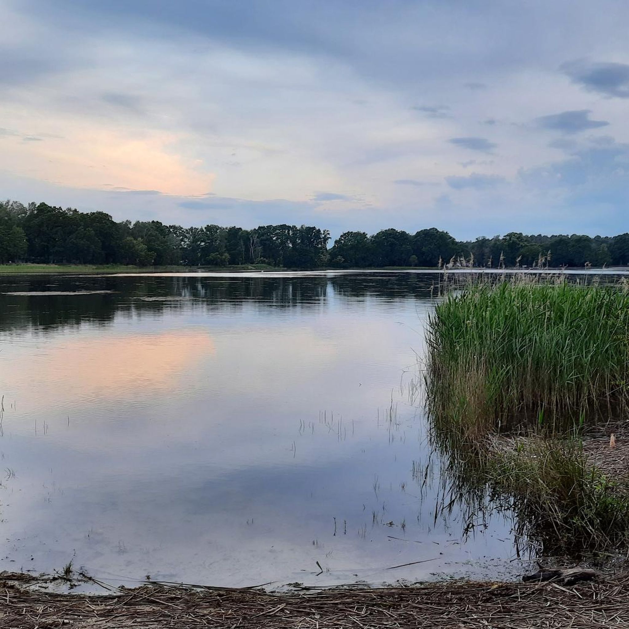
Road Cycling Routes in Körbaer Teich Und Niederungslandschaft Am Schweinitzer Fließ
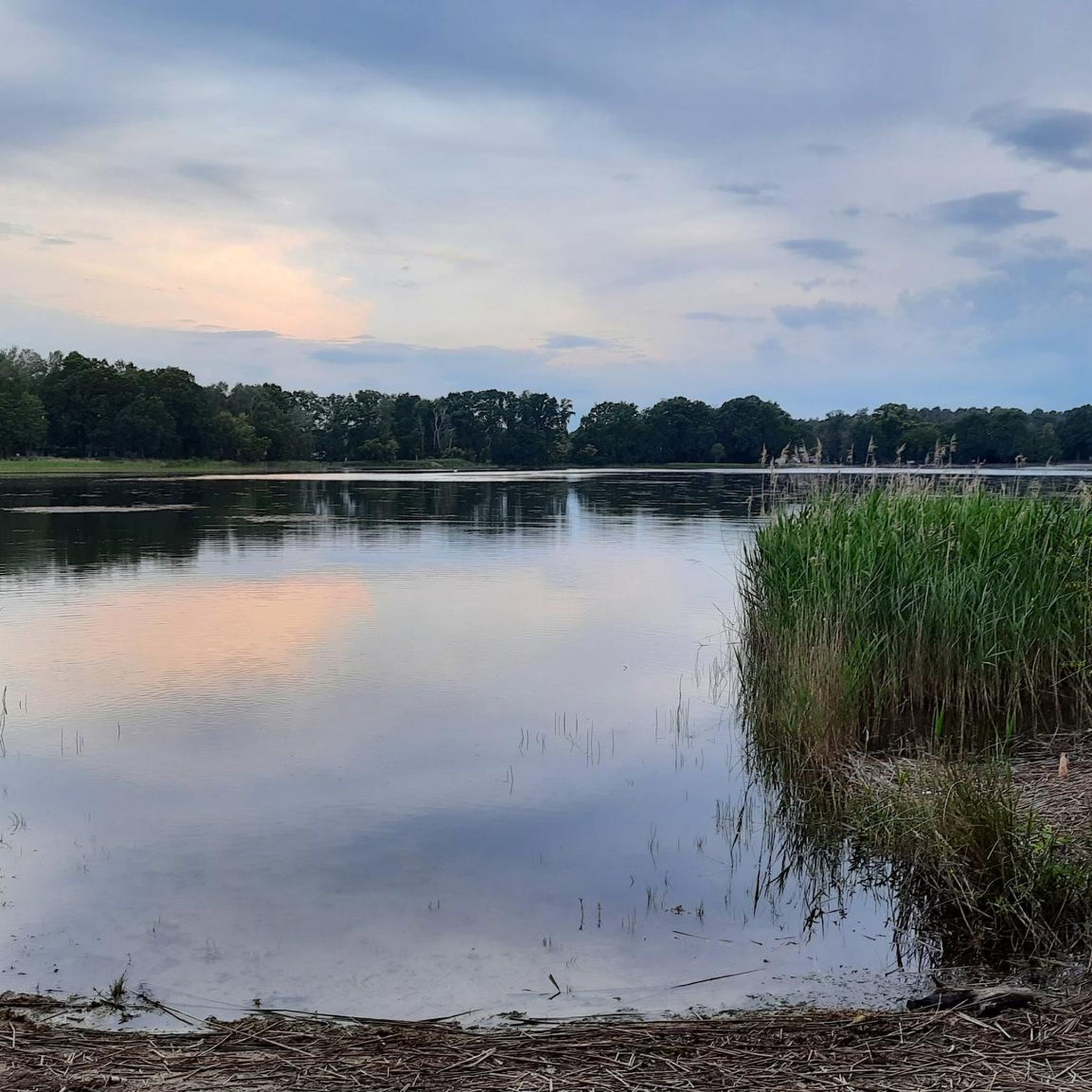
Cycling in Körbaer Teich Und Niederungslandschaft Am Schweinitzer Fließ
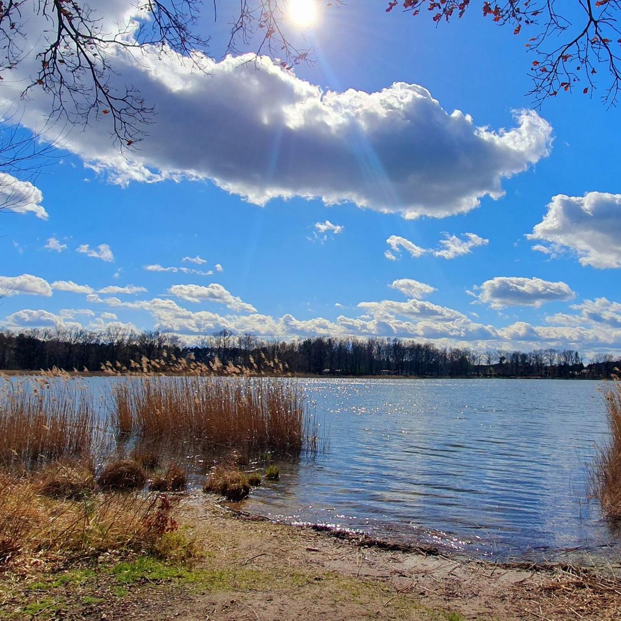
Hiking in Körbaer Teich Und Niederungslandschaft Am Schweinitzer Fließ
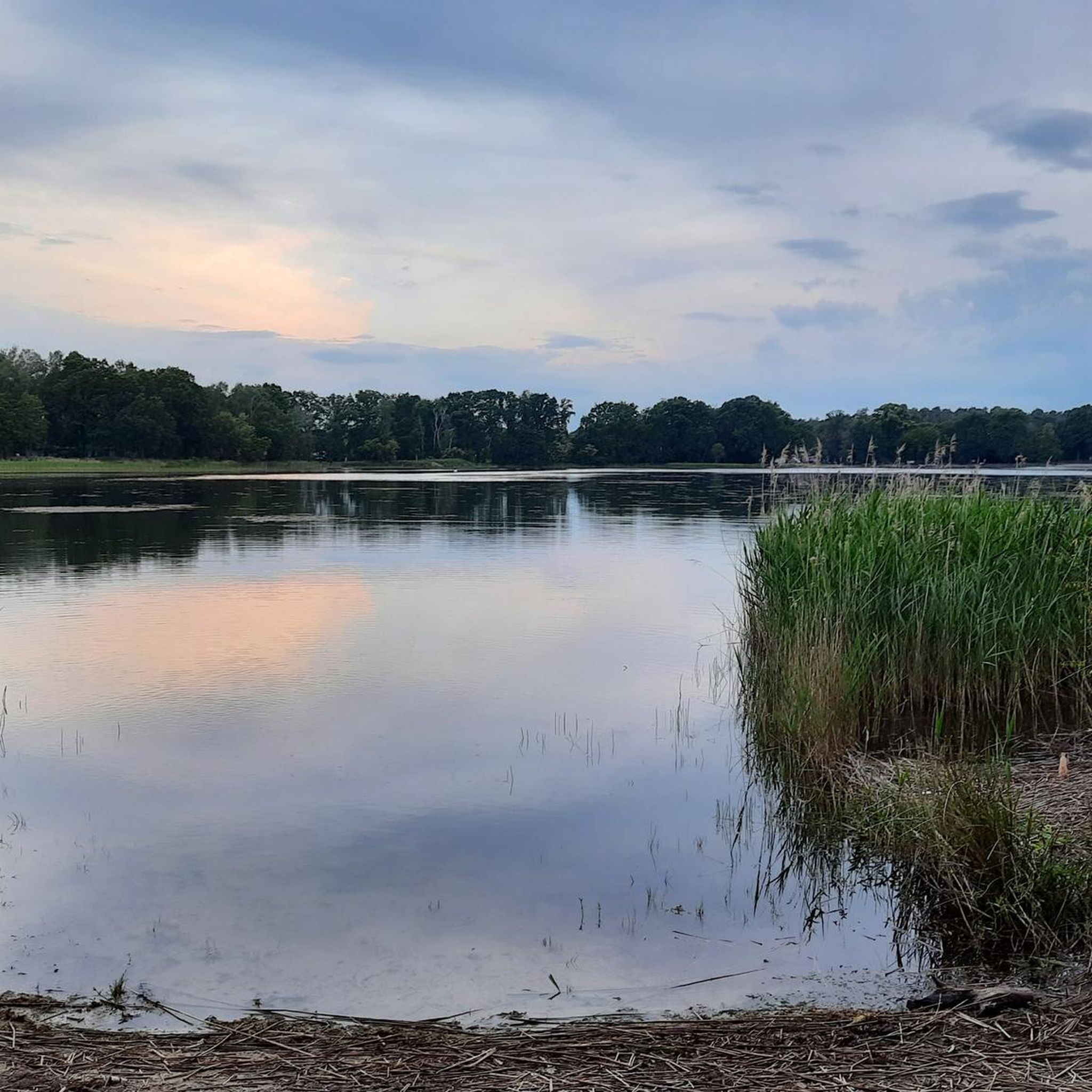
MTB Trails in Körbaer Teich Und Niederungslandschaft Am Schweinitzer Fließ
Running Trails in Körbaer Teich Und Niederungslandschaft Am Schweinitzer Fließ
Tips from the Community

When I was here, the spring carried no water. That makes one sad and humble at the same time. A shame how we treat our environment.
0
0

Unfortunately, no water is flowing from the spring anymore.
0
0

Nestled in the heart of the Lower Lusatian Ridge Nature Park lies the Höllberghof – a three-sided farm built from wood, clay, straw, and reeds, faithfully based on a historical model. The complex is complemented by a barn, a cottager's house, and a bakehouse. As an open-air museum and event venue, the farm offers fascinating insights into the lives of past generations, combining rural traditions with modern environmental education. www.höllberghof.com
0
0

You can now stay overnight here. Highly recommended, quiet and comfortable, very lovingly furnished.
0
0

A beautiful building, one would not expect in such a small town.
1
0
The granary is located near the ruins of the baroque castle. The granary was built in 1724 and is a listed building.
0
0
Apparently the restoration was aborted.
1
0

A small, sweet castle park with lots to discover: lake with island, playground, animals, waterfall. Open: April-September 7 a.m. to 9 p.m. October-March 7 a.m. to 7.30 p.m.
0
0
Frequently Asked Questions
What is the general difficulty level of gravel bike trails in Körbaer Teich Und Niederungslandschaft Am Schweinitzer Fließ?
The gravel bike trails in this region are generally considered moderate. The terrain is mostly flat to gently rolling, making the paths accessible for a good range of skill levels. There are no routes classified as easy or difficult, focusing on a balanced experience.
Are there any family-friendly gravel biking options in the area?
Yes, the region's generally flat to gently rolling terrain makes it suitable for families. While specific 'family-friendly' designations aren't given, the moderate difficulty of routes like the Dahme Castle Ruins – Dahme Town Hall loop from Dahme/Mark, which is 50.9 km, offers a manageable distance through open countryside and small towns that can be enjoyed by active families.
What kind of scenery can I expect along the gravel bike routes?
You can expect a diverse lowland landscape characterized by the Schweinitzer Fließ stream and the Körbaer Teich pond. Routes often traverse open fields, agricultural areas, and sections of mixed woodland, providing a varied and scenic backdrop for your ride.
Are there any circular gravel bike routes available?
Yes, all the featured gravel bike routes in the region are loops. For example, you can explore the local landscape on the Dahme Castle Ruins – Dahme (Mark) Castle Park loop from Dahme/Mark, which is 57.9 km, or the 62.0 km Walddrehna Church – Dahme Castle Ruins loop from Dahme/Mark.
What are the typical lengths of gravel bike routes in Körbaer Teich Und Niederungslandschaft Am Schweinitzer Fließ?
The gravel bike routes in this area typically range from around 50 to 60 kilometers. For instance, the Dahme Castle Ruins – Dahme Town Hall loop from Dahme/Mark is 50.9 km, while the Walddrehna Church – Dahme Castle Ruins loop from Dahme/Mark extends to 62.0 km.
What attractions or points of interest can I see while gravel biking?
Along the gravel bike trails, you can discover several points of interest. Notable attractions include the serene Körbaer Teich, the historic Bärwalde Castle Ruins, and various cycle paths like the Körba–Lebusa Forest Road. There's also a Rest Area at the Bergfried Tower, Park Bärwalde for a break.
Is there public transport access near the gravel bike trails?
While the guide focuses on the trails themselves, the region is rural. For specific public transport options to reach the starting points of routes, it's advisable to check local bus or train schedules for towns like Dahme/Mark, which is a common starting point for many tours.
Are there any cafes or places to eat near the gravel bike trails?
The routes often pass through or near small towns and villages, such as Dahme/Mark. These locations typically offer local cafes or eateries where you can refuel. It's a good idea to check opening hours in advance, especially during off-peak seasons.
What is the best time of year for gravel biking in Körbaer Teich Und Niederungslandschaft Am Schweinitzer Fließ?
Spring, summer, and early autumn generally offer the most pleasant conditions for gravel biking in this lowland region. The weather is typically milder, and the natural landscape is at its most vibrant. Always check the local weather forecast before heading out.
What do other gravel bikers enjoy most about the trails here?
Komoot users appreciate the varied scenery through rural areas, open countryside, and mixed woodlands. The presence of historical sites like the Dahme Castle Ruins and the accessible, moderate terrain are frequently highlighted as enjoyable aspects of gravel biking in the region.
How many gravel bike trails are available in Körbaer Teich Und Niederungslandschaft Am Schweinitzer Fließ?
There are several gravel bike routes available in Körbaer Teich Und Niederungslandschaft Am Schweinitzer Fließ, with at least three highly-rated options showcased in this guide, all offering a moderate challenge.
Most popular routes in Körbaer Teich Und Niederungslandschaft Am Schweinitzer Fließ
Most popular attractions in Körbaer Teich Und Niederungslandschaft Am Schweinitzer Fließ

Get inspired with the komoot mobile app


Explore more
Browse the best Gravel rides in other regions.
