Körbaer Teich Und Niederungslandschaft Am Schweinitzer Fließ
Körbaer Teich Und Niederungslandschaft Am Schweinitzer Fließ
The best walks and hikes in Körbaer Teich Und Niederungslandschaft Am Schweinitzer Fließ
4.3
(113)
499
hikers
84
hikes
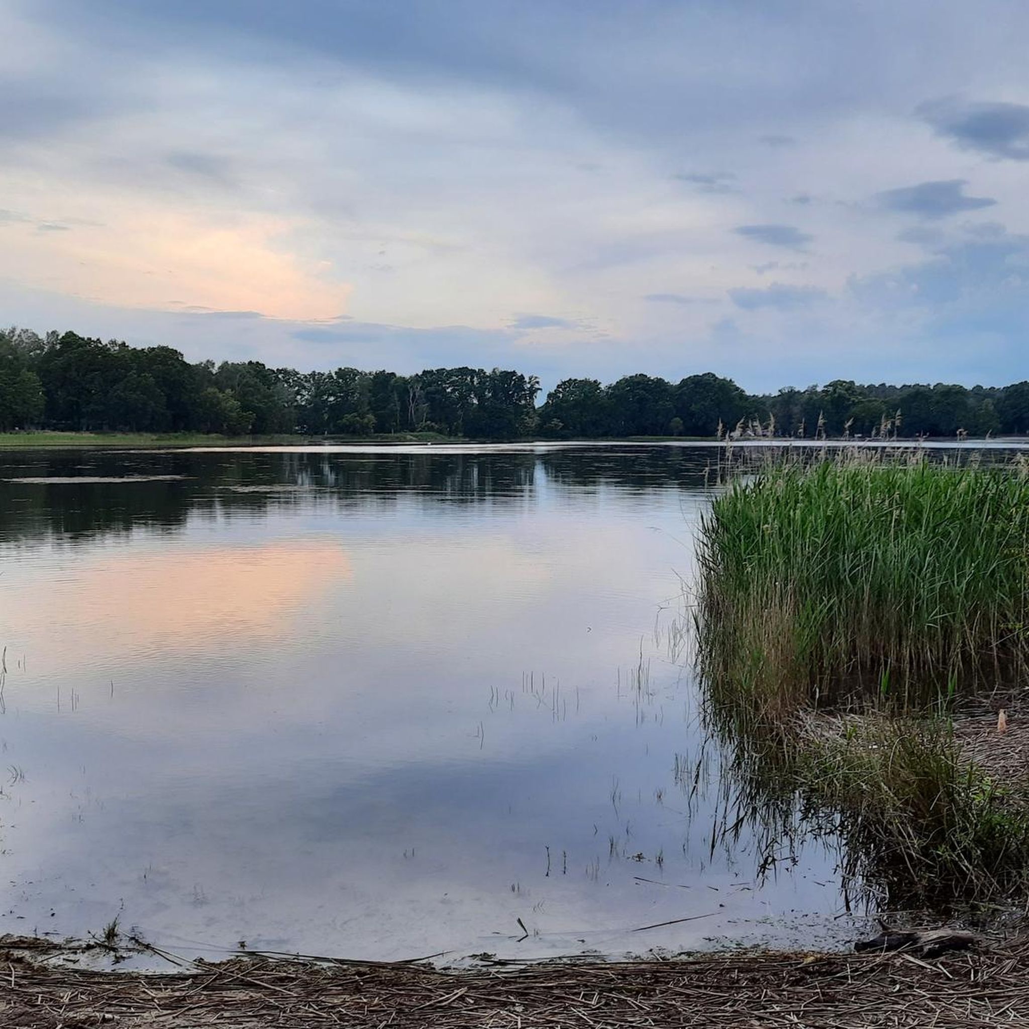
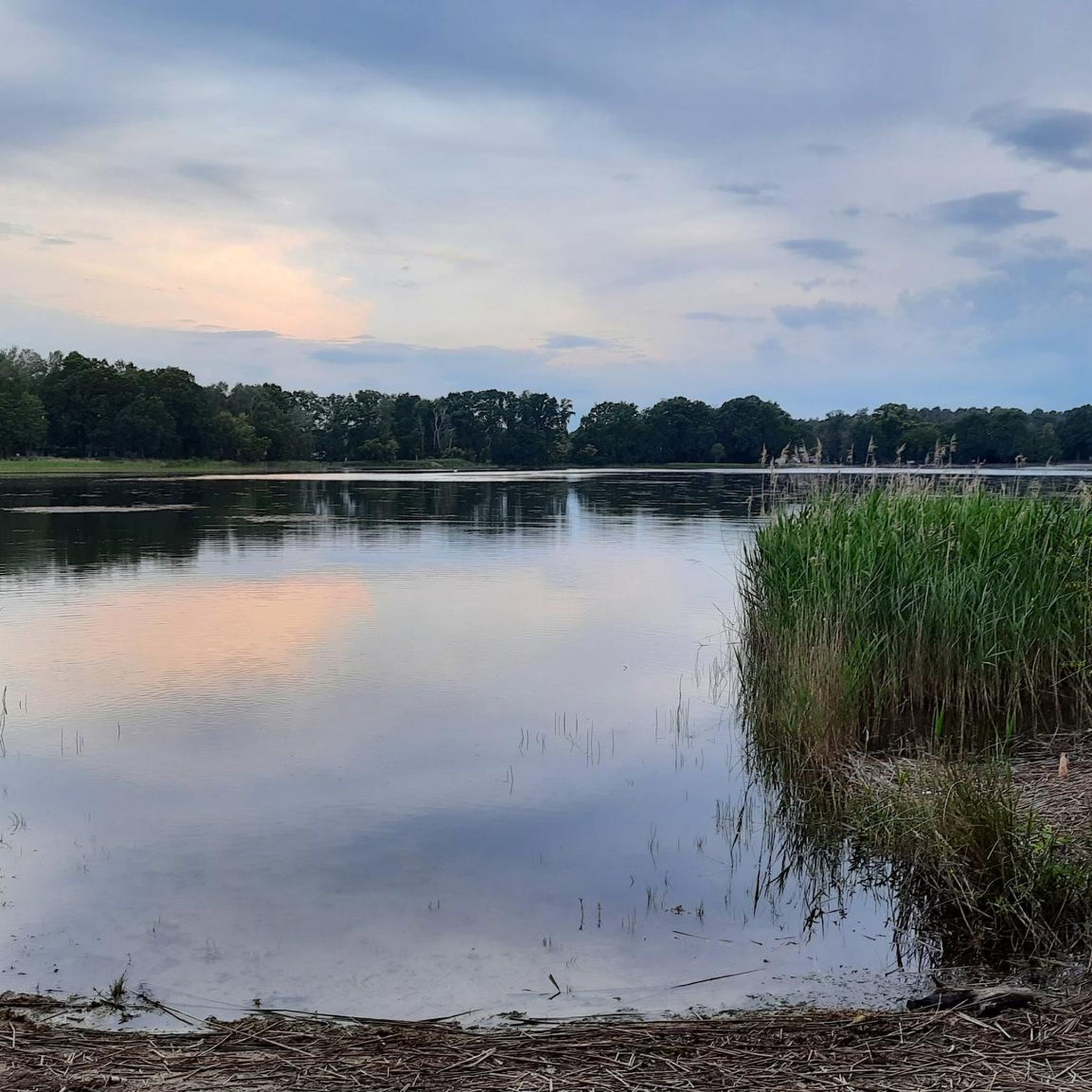
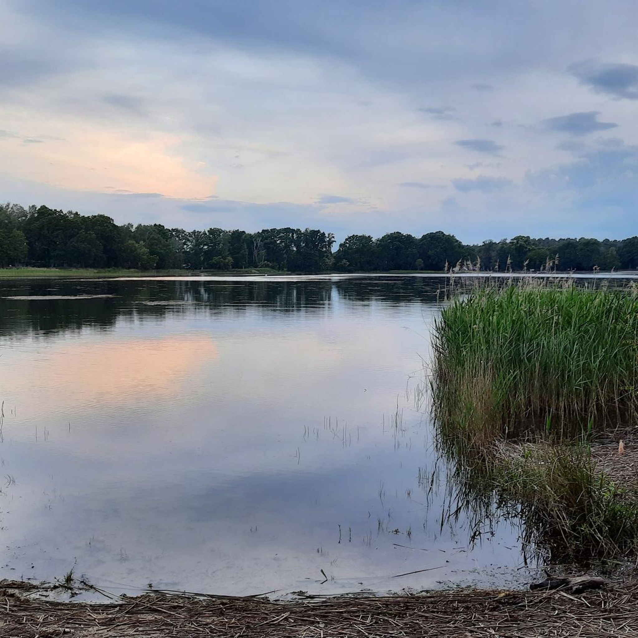
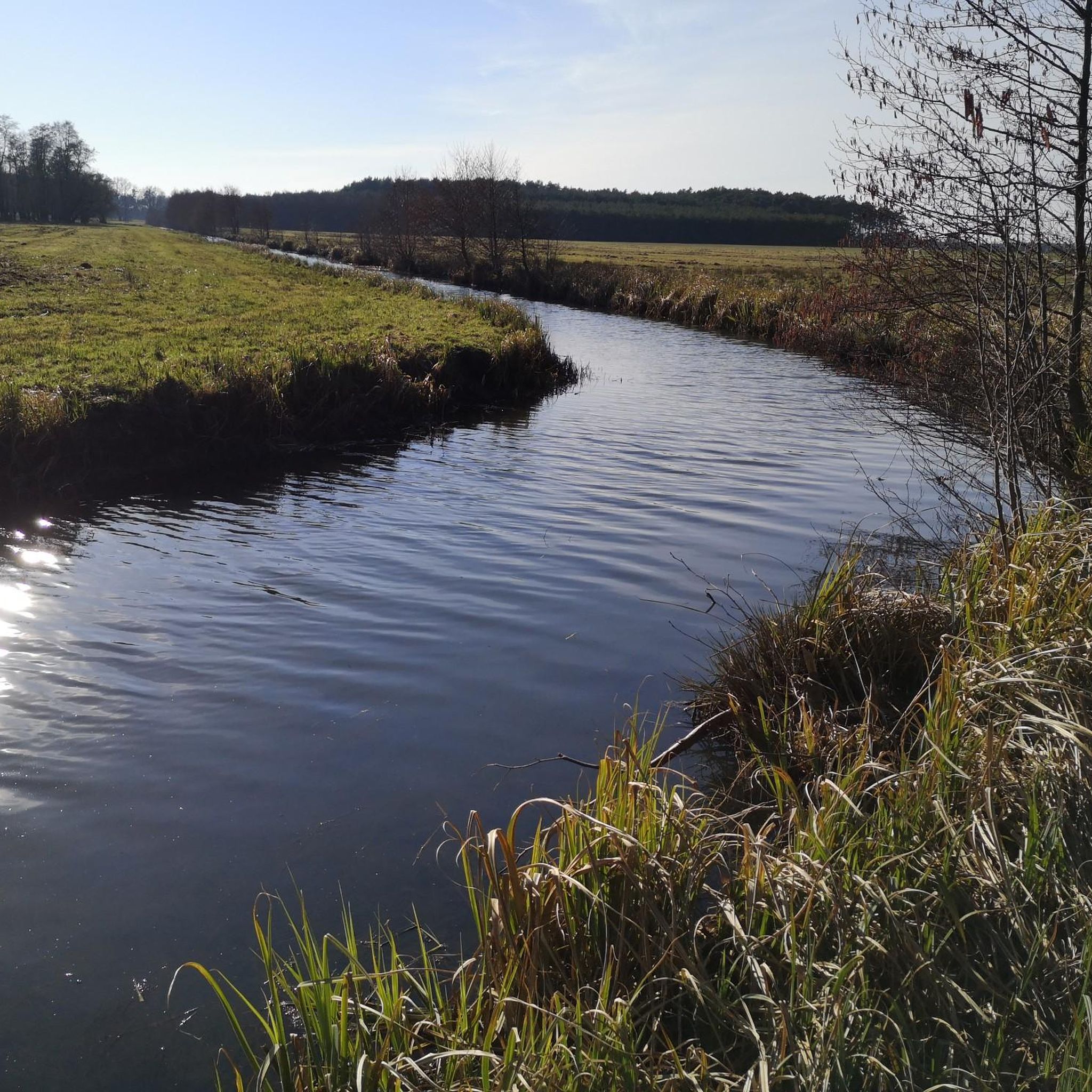
Hiking trails in Körbaer Teich Und Niederungslandschaft Am Schweinitzer Fließ traverse a lowland landscape characterized by the prominent Körbaer Teich and the Schweinitz Stream. The region's hydrological conditions create distinctive natural features, including spring-fed wetland areas and temporary small bodies of water. This area is designated as a protected zone (FFH-Gebiet), preserving its ecological significance. The terrain offers varied environments for outdoor exploration.
Best hiking trails in Körbaer Teich Und Niederungslandschaft Am Schweinitzer Fließ
- The most popular hiking route is…
Last updated: July 10, 2026
4.6
(19)
93
hikers
Easy hike. Great for any fitness level. Easily-accessible paths. Suitable for all skill levels.
4.7
(22)
101
hikers
2.99km
00:46
10m
10m
Easy hike. Great for any fitness level. Easily-accessible paths. Suitable for all skill levels.

Sign up for free
4.3
(3)
6
hikers
14.7km
03:47
70m
70m
Moderate hike. Good fitness required. Easily-accessible paths. Suitable for all skill levels.
5.0
(1)
6
hikers
8.90km
02:16
30m
30m
Moderate hike. Good fitness required. Easily-accessible paths. Suitable for all skill levels.
2
hikers
10.7km
02:46
60m
60m
Moderate hike. Good fitness required. Easily-accessible paths. Suitable for all skill levels.
Get access to more routes and recommendations from other explorers.
Sign up for free
Already have an account?
Our route recommendations are based on thousands of hikes, rides, and runs completed by other people on komoot.
Start today with a free account
Your next adventure awaits.
Login or Signup
Popular around Körbaer Teich Und Niederungslandschaft Am Schweinitzer Fließ
Road Cycling Routes in Körbaer Teich Und Niederungslandschaft Am Schweinitzer Fließ
Cycling in Körbaer Teich Und Niederungslandschaft Am Schweinitzer Fließ
MTB Trails in Körbaer Teich Und Niederungslandschaft Am Schweinitzer Fließ
Running Trails in Körbaer Teich Und Niederungslandschaft Am Schweinitzer Fließ
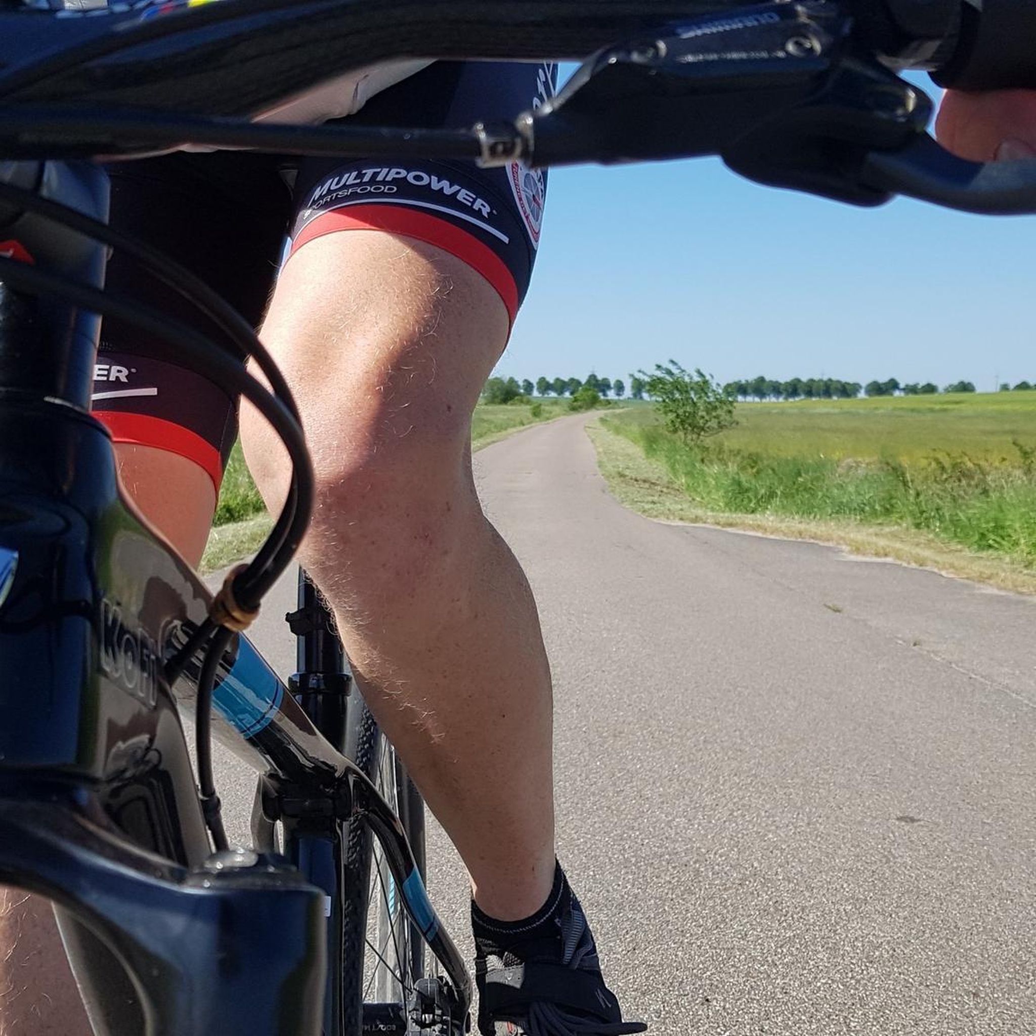
Gravel biking in Körbaer Teich Und Niederungslandschaft Am Schweinitzer Fließ
Tips from the Community

When I was here, the spring carried no water. That makes one sad and humble at the same time. A shame how we treat our environment.
0
0

Unfortunately, no water is flowing from the spring anymore.
0
0

In March 2024 I saw water emerging from the spring again after at least 6 dry years.
0
0
The tower doesn't look straight. At the bottom it is crooked, then it was built vertically. Did it sag during construction?
0
0


Small jetty at the Körbaer pond
0
0

Unfortunately, you can't see much of the Dahme spring, because when we were there, no water was flowing. Only now and then a few puddles are visible in the course of the river. But here it is wonderfully quiet and relaxing.
0
0
A good resting place in the middle of the forest not far from the source of the Dahme with covered seating and information about the Dahme cycle path
0
0
Frequently Asked Questions
How many hiking trails are available in Körbaer Teich Und Niederungslandschaft Am Schweinitzer Fließ?
There are over 80 hiking routes in Körbaer Teich Und Niederungslandschaft Am Schweinitzer Fließ. These trails cater to various fitness levels, from easy walks to more challenging routes.
What is the general difficulty level of hikes in this region?
The majority of hikes in Körbaer Teich Und Niederungslandschaft Am Schweinitzer Fließ are either easy or moderate. Approximately 40 routes are considered easy, 46 are moderate, and a few are more difficult, ensuring options for all experience levels.
What do other hikers say about the trails in Körbaer Teich Und Niederungslandschaft Am Schweinitzer Fließ?
The trails are highly rated by the komoot community, with an average score of 4.3 stars from over 100 reviews. Hikers often praise the diverse natural features, the tranquil atmosphere around the Körbaer Teich, and the well-established paths.
Are there circular hiking routes in Körbaer Teich Und Niederungslandschaft Am Schweinitzer Fließ?
Yes, many tours in the area are designed as circular routes, often starting and ending at convenient points like Bollensdorf. An example is the Körbaer Teich loop from Bollensdorf, which is a moderate 8.9 km trail.
What kind of natural landscapes can I expect to see while hiking here?
The region is characterized by its lowlands ('Niederungslandschaft') and the prominent Körbaer Teich, fed by the Schweinitzer Fließ. You'll encounter diverse environments including spring-fed wetland areas, temporary small bodies of water, and rich flora and fauna, all within a designated protected zone (FFH-Gebiet).
Are there any interesting landmarks or attractions along the hiking trails?
Yes, the primary attraction is the unspoiled natural environment itself, with the Körbaer Teich as a focal point. Other nearby points of interest include the Bärwalde Castle Ruins and the Rest Area at the Bergfried Tower, Park Bärwalde.
Are the trails suitable for families with children?
Many trails are suitable for families, especially the easier options with well-trodden paths. For instance, the Körbaer Pond – Körbaer Teich loop from Bollensdorf is an easy 2.7 km path featuring views of the pond and surrounding lowlands, ideal for a family outing.
Can I bring my dog on the hiking trails?
As a designated protected zone (FFH-Gebiet), specific rules regarding dogs may apply to ensure the preservation of local flora and fauna. It is generally recommended to keep dogs on a leash to protect wildlife and respect other hikers.
Where can I park my car when visiting the hiking trails?
Many circular routes, such as those starting from Bollensdorf, offer convenient parking options. It's advisable to check specific trailheads for designated parking areas before your visit.
What is a good moderate hike to experience the area's features?
For a moderate experience, consider the Café Mathias – Körbaer Teich loop from Bollensdorf. This 10 km trail leads through the lowland landscape around Körbaer Teich and typically takes about 2 hours 33 minutes to complete.
Are there any longer, more challenging routes for experienced hikers?
While most routes are easy to moderate, there are options for longer excursions. The Körbaer Teich – Dahme Spring loop from Bollensdorf is a moderate 14.7 km trail with more significant elevation changes, suitable for those seeking a longer hike.
What is the best time of year to hike in Körbaer Teich Und Niederungslandschaft Am Schweinitzer Fließ?
The area is appealing throughout much of the year. Spring and autumn offer pleasant temperatures and vibrant natural colors, while summer provides lush greenery. The diverse hydrological features can be particularly interesting to observe during wetter seasons.
Most popular routes in Körbaer Teich Und Niederungslandschaft Am Schweinitzer Fließ
Most popular attractions in Körbaer Teich Und Niederungslandschaft Am Schweinitzer Fließ

Get inspired with the komoot mobile app


Explore more
Browse the best Hikes in other regions.
