Körbaer Teich Und Niederungslandschaft Am Schweinitzer Fließ
Körbaer Teich Und Niederungslandschaft Am Schweinitzer Fließ
The best MTB trails in Körbaer Teich Und Niederungslandschaft Am Schweinitzer Fließ
3.9
(7)
47
riders
24
rides
Mountain bike trails in Körbaer Teich Und Niederungslandschaft Am Schweinitzer Fließ traverse a diverse lowland landscape. The region features Körbaer Teich, the largest body of water in the Elbe-Elster district, alongside the Schweinitzer Fließ stream, indicating wetlands and riverine ecosystems. Deciduous forests, lakes, and varied topography provide a scenic backdrop for outdoor pursuits. This area offers a mix of terrain suitable for mountain biking, from mostly paved paths to routes with off-road conditions.
Best mountain bike trails in Körbaer Teich…
Last updated: July 10, 2026
4.5
(4)
18
riders
Moderate mountain bike ride. Good fitness required. Suitable for all skill levels.
9
riders
Easy mountain bike ride. Great for any fitness level. Suitable for all skill levels.

Sign up for free
5.0
(1)
5
riders
43.5km
02:24
180m
180m
Moderate mountain bike ride. Good fitness required. Suitable for all skill levels.
1.0
(1)
5
riders
Easy mountain bike ride. Great for any fitness level. Suitable for all skill levels.
62.2km
04:19
390m
390m
Moderate mountain bike ride. Good fitness required. Suitable for all skill levels.
Get access to more routes and recommendations from other explorers.
Sign up for free
Already have an account?
Our route recommendations are based on thousands of hikes, rides, and runs completed by other people on komoot.
Start today with a free account
Your next adventure awaits.
Login or Signup
Popular around Körbaer Teich Und Niederungslandschaft Am Schweinitzer Fließ
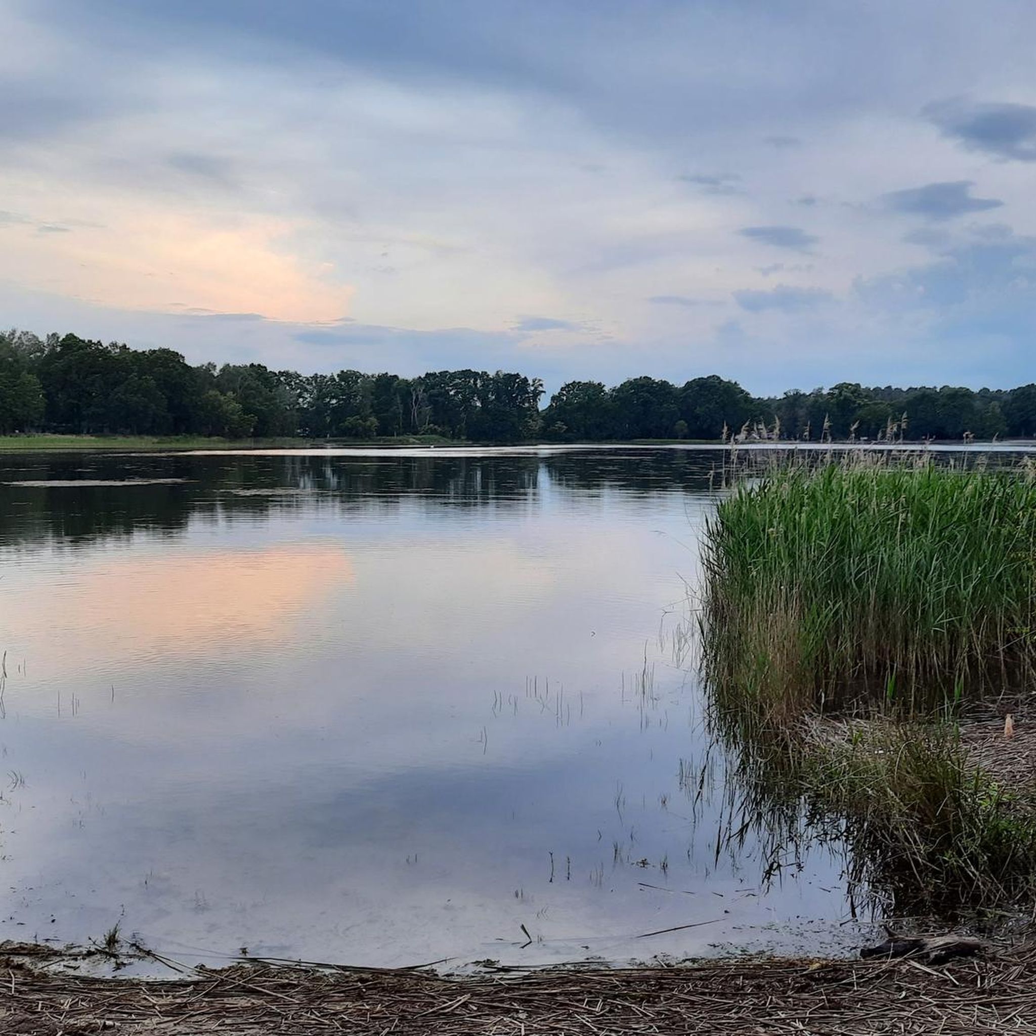
Road Cycling Routes in Körbaer Teich Und Niederungslandschaft Am Schweinitzer Fließ
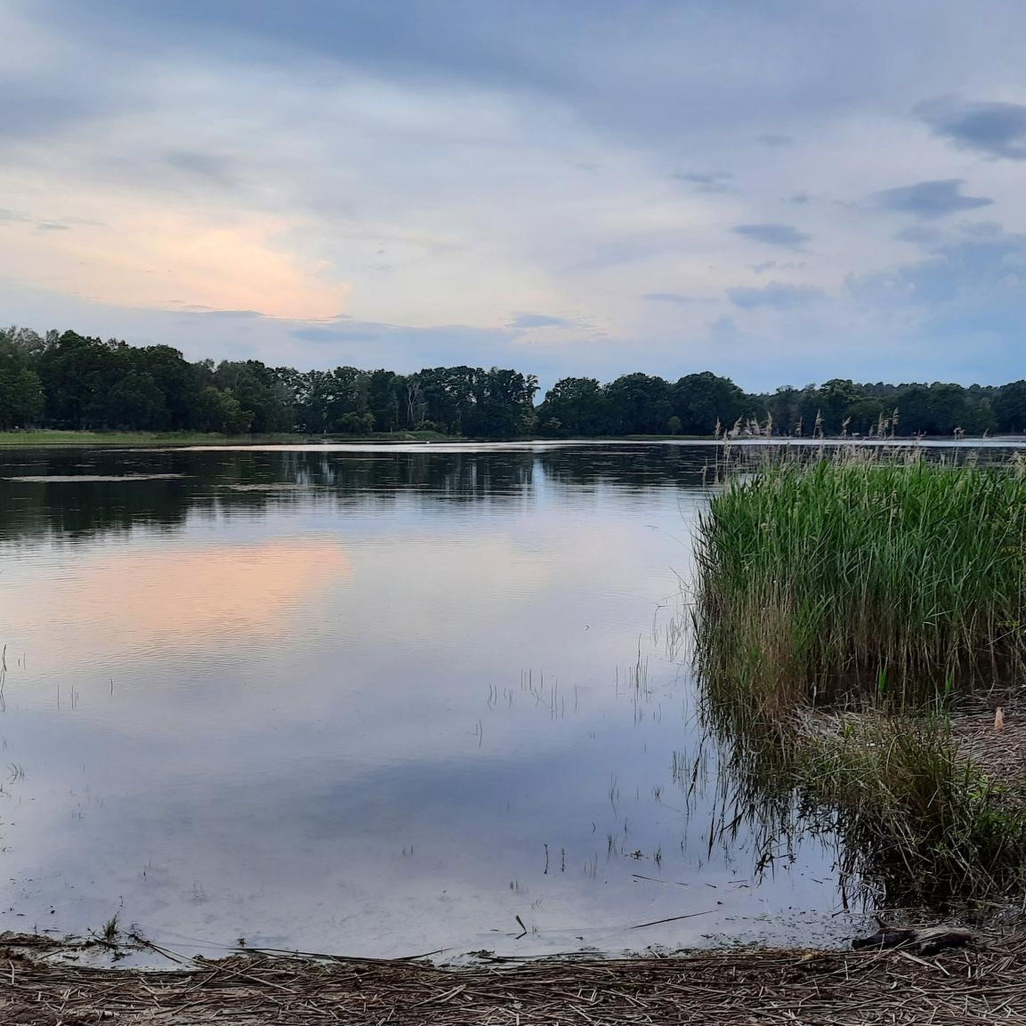
Cycling in Körbaer Teich Und Niederungslandschaft Am Schweinitzer Fließ
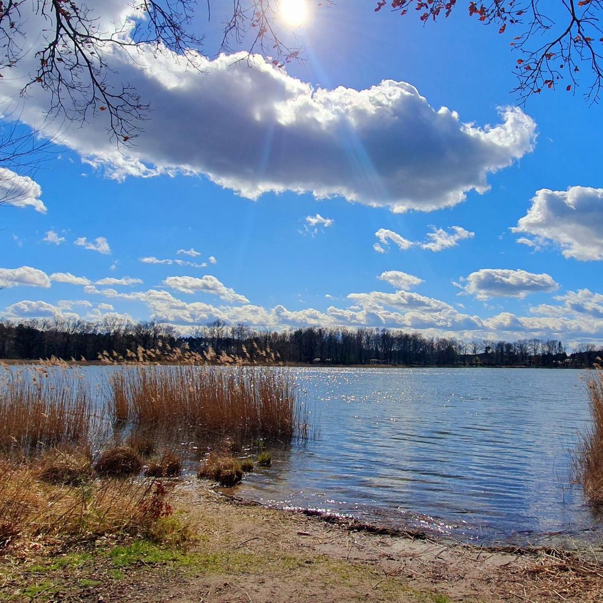
Hiking in Körbaer Teich Und Niederungslandschaft Am Schweinitzer Fließ
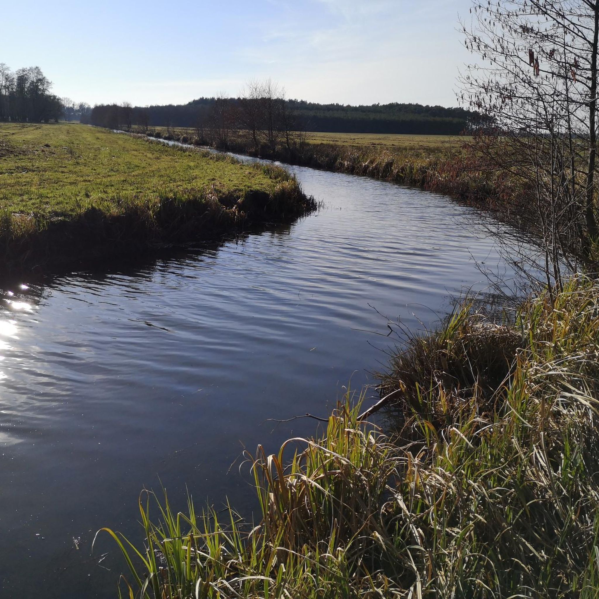
Running Trails in Körbaer Teich Und Niederungslandschaft Am Schweinitzer Fließ
Gravel biking in Körbaer Teich Und Niederungslandschaft Am Schweinitzer Fließ
Tips from the Community

When I was here, the spring carried no water. That makes one sad and humble at the same time. A shame how we treat our environment.
0
0

The usual resting places of the Flämig-Skate are simply always top.
0
0

Unfortunately, no water is flowing from the spring anymore.
0
0

Very quiet location and not so crowded.
0
0


You can now stay overnight here. Highly recommended, quiet and comfortable, very lovingly furnished.
0
0

There are all kinds of soft ice cream here. Sundaes like Red Wonder (with red fruit compote) or Swedish boots with apple sauce. Highly recommended. From the RK7 or RK6 you only have to take a short detour up the B102 to the east (be careful, the footpath is accessible, but only in safe driving mode). On the opposite side of the street there is the ice cream garden, i.e. more tables and a playground. https://www.birnbaums-eiscafe.de/
2
0
Frequently Asked Questions
How many mountain bike trails are available in Körbaer Teich Und Niederungslandschaft Am Schweinitzer Fließ?
The region offers a diverse selection of over 20 mountain bike trails. These routes cater to various skill levels, including 8 easy, 14 moderate, and 2 difficult options.
What is the typical terrain like for mountain biking in this region?
The terrain is characterized by a lowland landscape, featuring the large Körbaer Teich, the Schweinitzer Fließ stream, and extensive deciduous forests. You'll find a mix of mostly paved paths and off-road sections, some with loose ground, providing varied conditions suitable for mountain biking.
What do other mountain bikers say about the trails here?
The mountain bike trails in Körbaer Teich Und Niederungslandschaft Am Schweinitzer Fließ are highly rated by the komoot community, with an average score of 3.9 stars from over 5 reviews. More than 40 mountain bikers have explored the varied terrain, often praising the scenic beauty and diverse routes.
Are there mountain bike trails suitable for beginners?
Yes, there are several easy mountain bike trails perfect for beginners. One such route is the Körbaer Teich – Holländer Windmill in Kolpien loop from Dahme/Mark, an easy 13.0-mile (21.0 km) path that circles the Körbaer Teich, offering gentle riding and scenic views.
Are there any challenging routes for experienced mountain bikers?
While the region primarily features easy to moderate trails, there are 2 routes classified as difficult for those seeking more of a challenge. These routes will test your skills with more demanding terrain and longer distances.
Are there family-friendly mountain bike routes?
Many of the easy and moderate routes are suitable for families, especially those with some cycling experience. The lowland landscape and well-maintained paths make for enjoyable rides. Consider routes that stick to the less technical sections around Körbaer Teich for a pleasant family outing.
Are there circular mountain bike routes in the area?
Yes, many of the mountain bike routes in the region are designed as loops, allowing you to start and end at the same point. For example, the Bockwindmill Falkenberg – Imperial Post Office loop from Dahme/Mark is a 27.0-mile (43.5 km) circular trail that takes you through varied terrain.
What natural features or attractions can I see while mountain biking?
You can explore a variety of natural features and attractions. The prominent Körbaer Teich itself is a highlight, being the largest body of water in the Elbe-Elster district. You might also encounter the Bärwalde Castle Ruins or enjoy the scenic Körba–Lebusa Forest Road.
What is the best season for mountain biking in Körbaer Teich Und Niederungslandschaft Am Schweinitzer Fließ?
The region is generally pleasant for mountain biking from spring through autumn. Spring offers fresh greenery, while autumn provides beautiful foliage. Summer is also suitable, but be mindful of warmer temperatures. The lowland nature of the landscape means trails are less affected by snow and ice than mountainous regions.
What kind of wildlife might I encounter while mountain biking?
The diverse natural environment, including wetlands, forests, and the Schweinitzer Fließ stream, supports a variety of wildlife. Keep an eye out for birds like white-tailed eagles, cranes, and kingfishers. You might also spot otters and beavers near the water bodies.
Where can I find parking for mountain biking near Körbaer Teich?
Parking is generally available in and around the towns and villages bordering the region, such as Dahme/Mark, which serves as a common starting point for many routes. Specific parking areas are often indicated near trailheads or popular attractions like the Rest Area at the Bergfried Tower, Park Bärwalde.
Are there less crowded mountain bike trails in the Niederungslandschaft Am Schweinitzer Fließ area?
While popular routes can see more activity, the extensive network of trails means you can often find quieter paths, especially on weekdays or by exploring some of the less-trafficked sections away from the main attractions. The Imperial Post Office – Dahme Spring loop from Dahme/Mark is a longer route that might offer more solitude.
Most popular routes in Körbaer Teich Und Niederungslandschaft Am Schweinitzer Fließ
Most popular attractions in Körbaer Teich Und Niederungslandschaft Am Schweinitzer Fließ

Get inspired with the komoot mobile app


Explore more
Browse the best MTB trails in other regions.
