The best gravel rides in Søndre Håøya Naturreservat
4.0
(1)
19
riders
6
rides
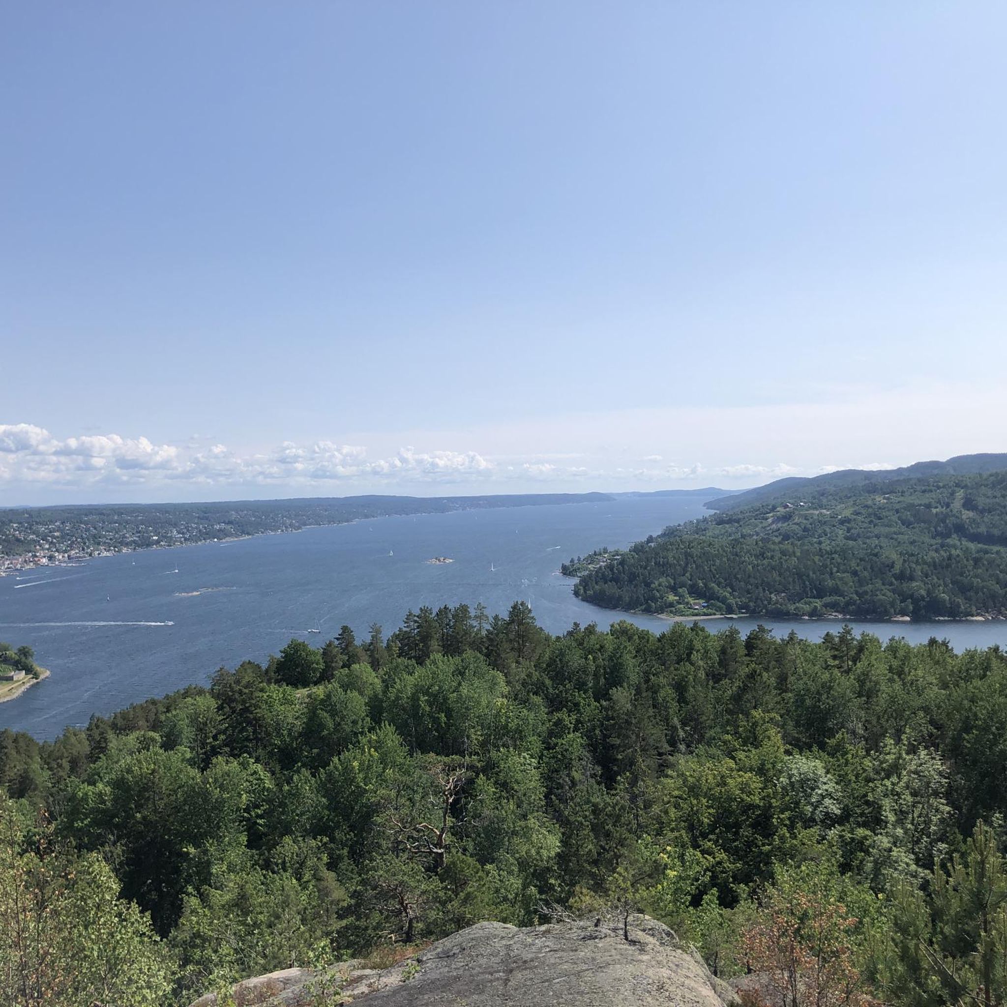
Gravel biking in Søndre Håøya Naturreservat offers diverse terrain, from varied forest types to areas of bare rock and marshlands. The island's topography includes elevated sections, with its highest point reaching 229 meters above sea level, providing potential for climbs and viewpoints. Historical military roads, such as the Batteriveien, present suitable surfaces for gravel bikes, complementing the natural paths and forest tracks. This combination of natural features and historical infrastructure creates a varied landscape for gravel biking.
Best gravel bike…
Last updated: July 2, 2026
1
riders
12.5km
00:50
140m
140m
Easy gravel ride. Great for any fitness level. Mostly paved surfaces. Suitable for all skill levels.
4
riders
Hard gravel ride. Very good fitness required. Mostly paved surfaces. Suitable for all skill levels.

Sign up for free
2
riders
30.5km
02:13
590m
590m
Hard gravel ride. Very good fitness required. Mostly paved surfaces. Suitable for all skill levels.
4.0
(1)
5
riders
51.5km
03:23
620m
620m
Hard gravel ride. Very good fitness required. Mostly paved surfaces. Suitable for all skill levels.
6
riders
83.4km
05:16
890m
890m
Hard gravel ride. Very good fitness required. Mostly paved surfaces. Suitable for all skill levels.
Our route recommendations are based on thousands of hikes, rides, and runs completed by other people on komoot.
Start today with a free account
Your next adventure awaits.
Login or Signup
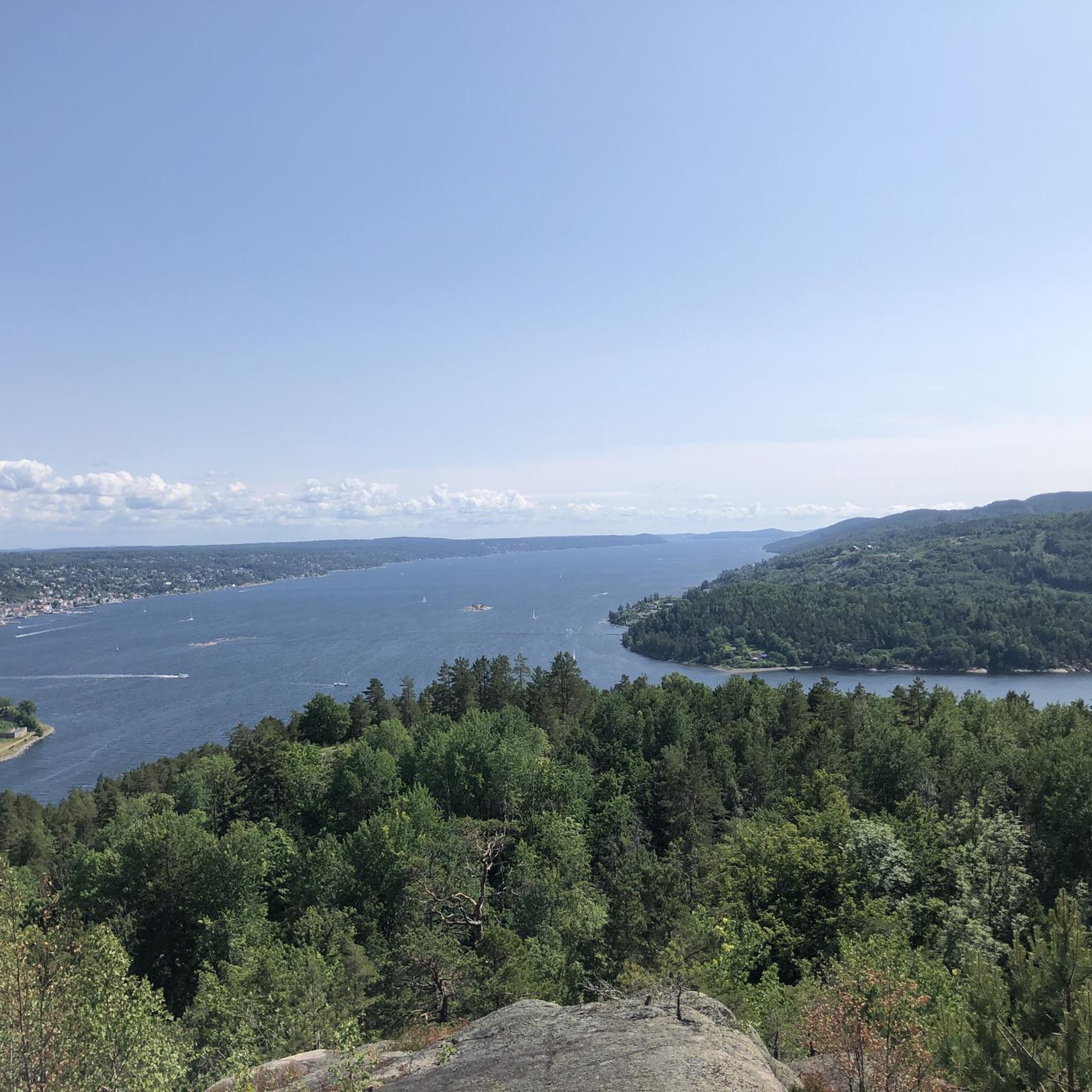
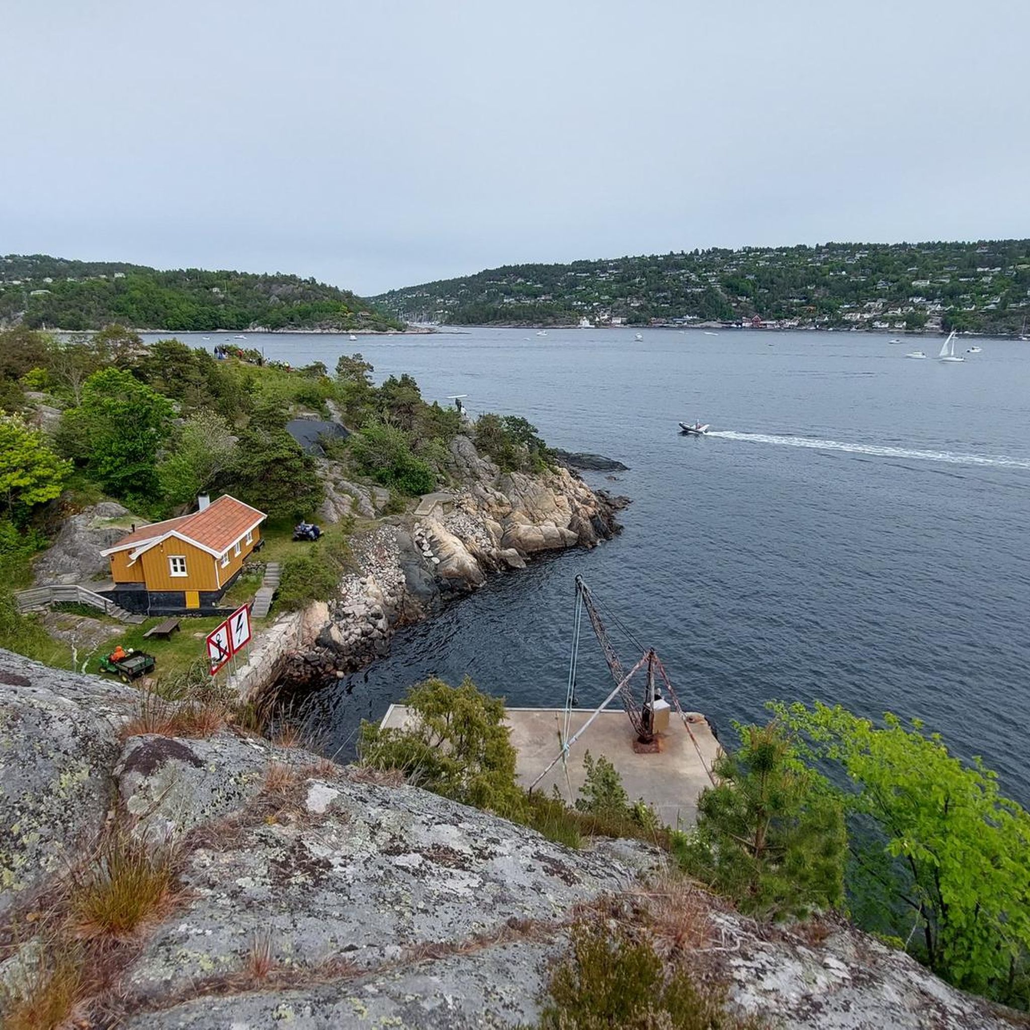
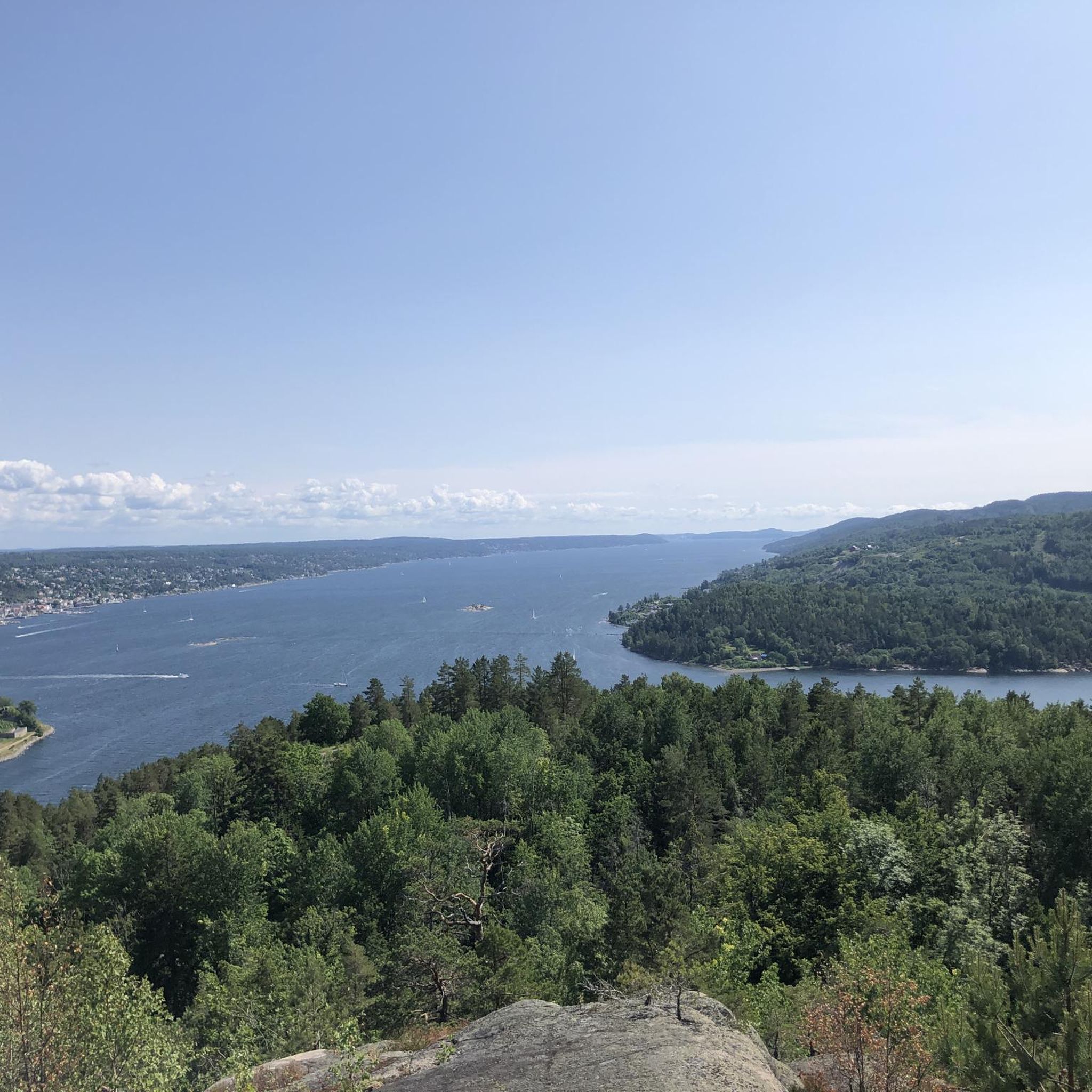
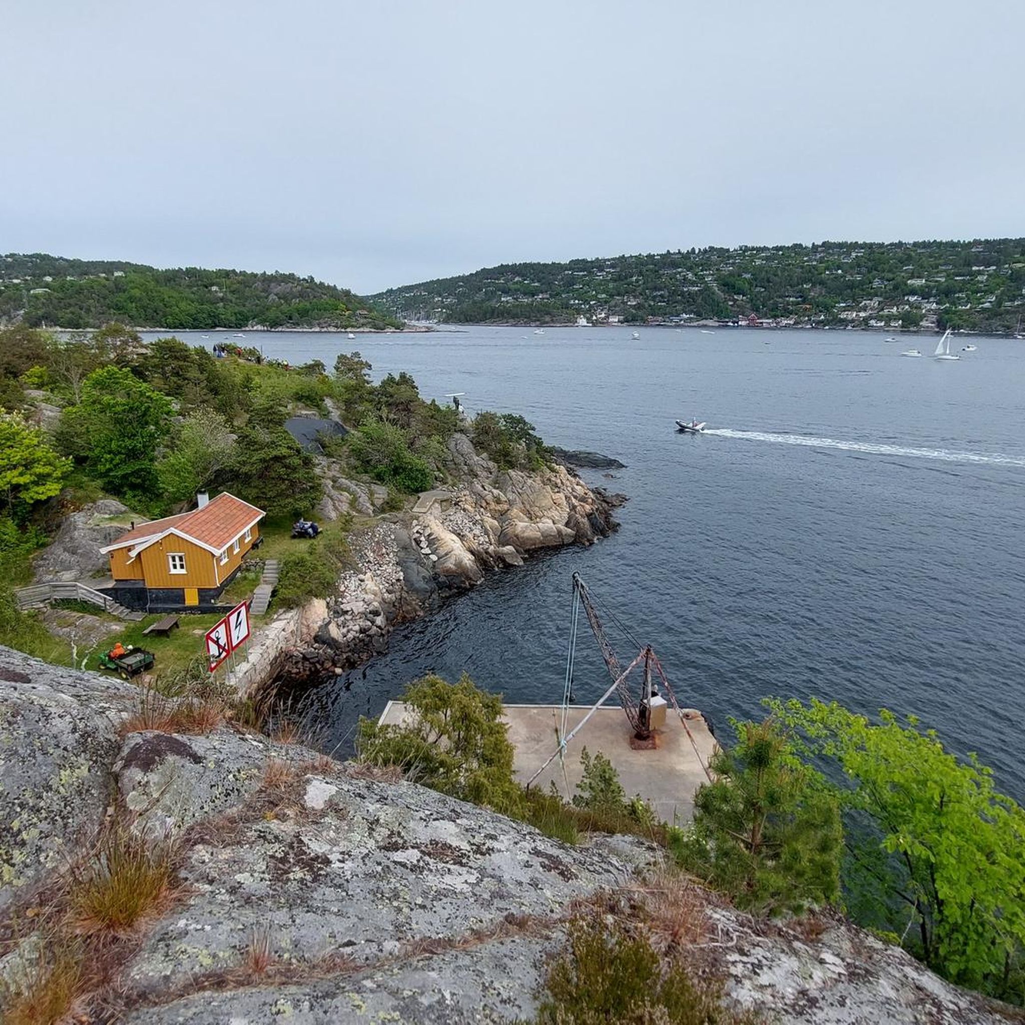
Tips from the Community

Askjumskogen near Ås is a peaceful forest with well-marked, easy trails. The short circular routes are ideal for relaxed walks and can be reached quickly from the town of Ås.
0
0


The fresh tarmac now has some big holes (27.4.25). Beware as you come down the the last steep hill going north.
1
0

Lovely little café – highly recommended! The homemade pizzas are great, and if the weather turns, there are books and games to keep you entertained while you wait
0
0

It's a great ride. And be sure to stop at the end of the bridge and walk down to the Hølen Cafe. I highly recommend the Interrail pizza there.
0
0

Nice place by the sea. Shops and boat harbour.
0
0
Very nice park with picnic tables and beach.
0
0
Frequently Asked Questions
How many gravel bike trails are available in Søndre Håøya Naturreservat?
There are 6 gravel bike routes recorded in Søndre Håøya Naturreservat on komoot. These routes offer a variety of experiences, from easier loops to more challenging, longer rides.
What kind of terrain can I expect on gravel bike trails in Søndre Håøya Naturreservat?
The terrain in Søndre Håøya Naturreservat is quite diverse. You'll encounter varied forest types, including dense spruce, pine, and ancient oak groves, along with areas of bare rock and marshlands. Historical military roads, such as the approximately three-meter-wide Batteriveien, provide suitable gravel surfaces, complementing natural paths and forest tracks.
What is the overall difficulty of gravel biking in Søndre Håøya Naturreservat?
The routes in Søndre Håøya Naturreservat cater to various skill levels. While there is one easy route, the majority (5 out of 6) are rated as difficult, featuring significant elevation changes and longer distances. For example, the Sætre waterfront and marina – Stikkvannet loop from Sundbyholmene naturreservat is a challenging 43.4-mile path with over 1100 meters of elevation gain.
Are there any good viewpoints along the gravel routes?
Yes, Søndre Håøya is known for its elevated sections. The island's highest point, Varden, reaches 229 meters above sea level and offers fantastic panoramic views of the Oslofjord. Many routes will provide glimpses of the fjord and the island's diverse landscapes.
Are there historical sites or landmarks to see while gravel biking?
Absolutely. A significant historical attraction is the Batteriveien, an impressive military road built between 1891 and 1917. This zig-zagging road leads to former cannon batteries and military installations, offering a unique historical context to your ride. The island also has mentions of 14th-century herb gardens.
How do I get to Søndre Håøya Naturreservat?
Søndre Håøya is an island in the inner Oslofjord. Access is primarily by ferry. For current timetables and departure points, it's best to check with local public transport providers or ferry services. You can find more information about visiting the island at visitoslofjorden.no.
Is there parking available for gravel bikers near Søndre Håøya Naturreservat?
As Søndre Håøya is an island, direct parking on the island is not typically available for visitors. You would generally park on the mainland at a ferry departure point. Specific parking options would depend on your chosen ferry terminal.
What is the best time of year to go gravel biking in Søndre Håøya Naturreservat?
The warmer months, from late spring to early autumn, generally offer the best conditions for gravel biking in Søndre Håøya Naturreservat. During this period, the weather is milder, and the trails are less likely to be affected by snow or ice, allowing you to fully appreciate the island's rich biodiversity and natural beauty.
Are there any family-friendly gravel biking options?
For families or those looking for an easier introduction, the Dameng Jordet loop from Fagerstrand is an easy 7.8-mile (12.5 km) route. It offers an accessible way to experience the island's varied terrain without extensive climbs.
Can I bring my dog on the gravel trails?
Søndre Håøya is a nature reserve, so rules regarding dogs are in place to protect wildlife. While dogs are generally allowed on trails, they must be kept on a leash at all times. Always check local regulations before your visit to ensure compliance with current rules for nature reserves.
Are there any circular gravel bike routes?
Yes, many of the gravel routes in Søndre Håøya Naturreservat are designed as loops. Examples include the Forest Pathway loop from Båtstø, which is 18.9 miles (30.4 km) and takes you through forested areas, and the Dameng Jordet loop from Fagerstrand.
What do other gravel bikers say about the trails in Søndre Håøya Naturreservat?
The gravel biking routes in Søndre Håøya Naturreservat are highly rated by the komoot community, with an average score of 4.0 stars. Users often praise the diverse natural environment, the tranquil setting, and the unique experience of cycling through a living forest museum with historical elements.
Are there any longer, more challenging gravel routes for experienced riders?
For experienced riders seeking a significant challenge, the Ås Church – Old railway bridge loop from Kroksrud is an extensive 84.5-mile (136 km) route with nearly 900 meters of elevation gain. This difficult trail explores a broader area beyond the immediate island, offering a full day's adventure.
Most popular routes in Søndre Håøya Naturreservat

Get inspired with the komoot mobile app


Explore more
Browse the best Gravel rides in other regions.
