The best gravel rides in Toohey Forest
5.0
(1)
31
riders
3
rides
Gravel biking in Toohey Forest offers a network of trails within a significant urban bushland reserve in Brisbane. The region is characterized by eucalypt forests, open woodlands, and undulating terrain, providing a natural setting for off-road cycling. These trails often feature dirt and gravel surfaces, with some sections including hills and varied gradients. The forest floor features sandstone and quartzite outcrops, offering diverse terrain for gravel cyclists.
Best gravel bike trails in Toohey Forest
- The most popular gravel bike trail…
Last updated: July 2, 2026
9
riders
70.8km
04:51
1,320m
1,320m
Hard gravel ride. Very good fitness required. Mostly paved surfaces. Suitable for all skill levels.
5.0
(1)
11
riders
29.1km
02:09
520m
520m
Hard gravel ride. Very good fitness required. Mostly paved surfaces. Suitable for all skill levels.

Sign up for free
6
riders
54.2km
03:43
770m
770m
Hard gravel ride. Very good fitness required. You may need to push your bike for some segments of this route.
5
riders
19.6km
01:41
200m
200m
Moderate gravel ride. Good fitness required. Mostly paved surfaces. Suitable for all skill levels.
Our route recommendations are based on thousands of hikes, rides, and runs completed by other people on komoot.
Start today with a free account
Your next adventure awaits.
Login or Signup

Tips from the Community

The picnic area has lots of shaded seating, and sprawls out across the street from the trailhead. There is parking and a restroom by the trail map as you start the track.
0
0
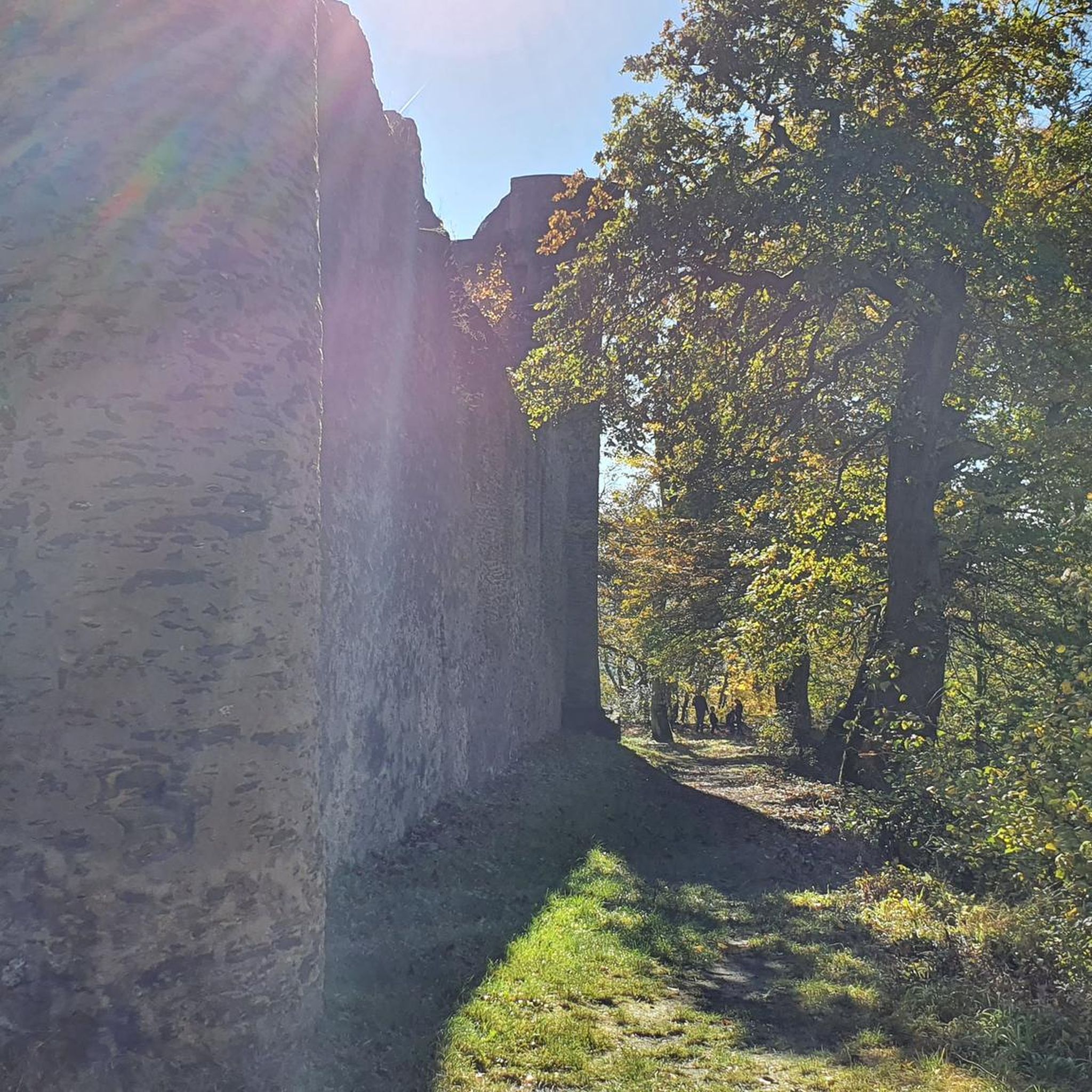
The Powerful Owl takes you on an elevated dirt track through the heart of the park. The path is wide and easy to follow, and is a great connector to the network of trails that spiderwebs out from it.
0
0

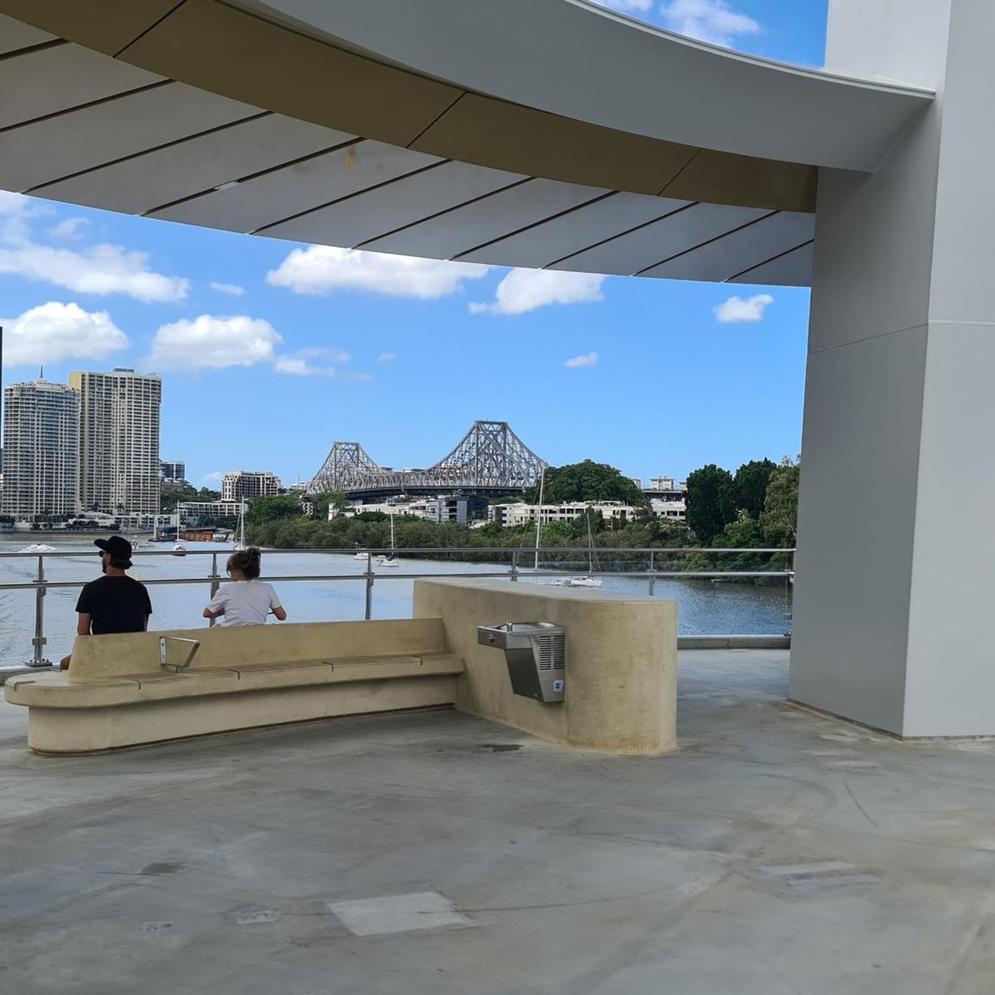
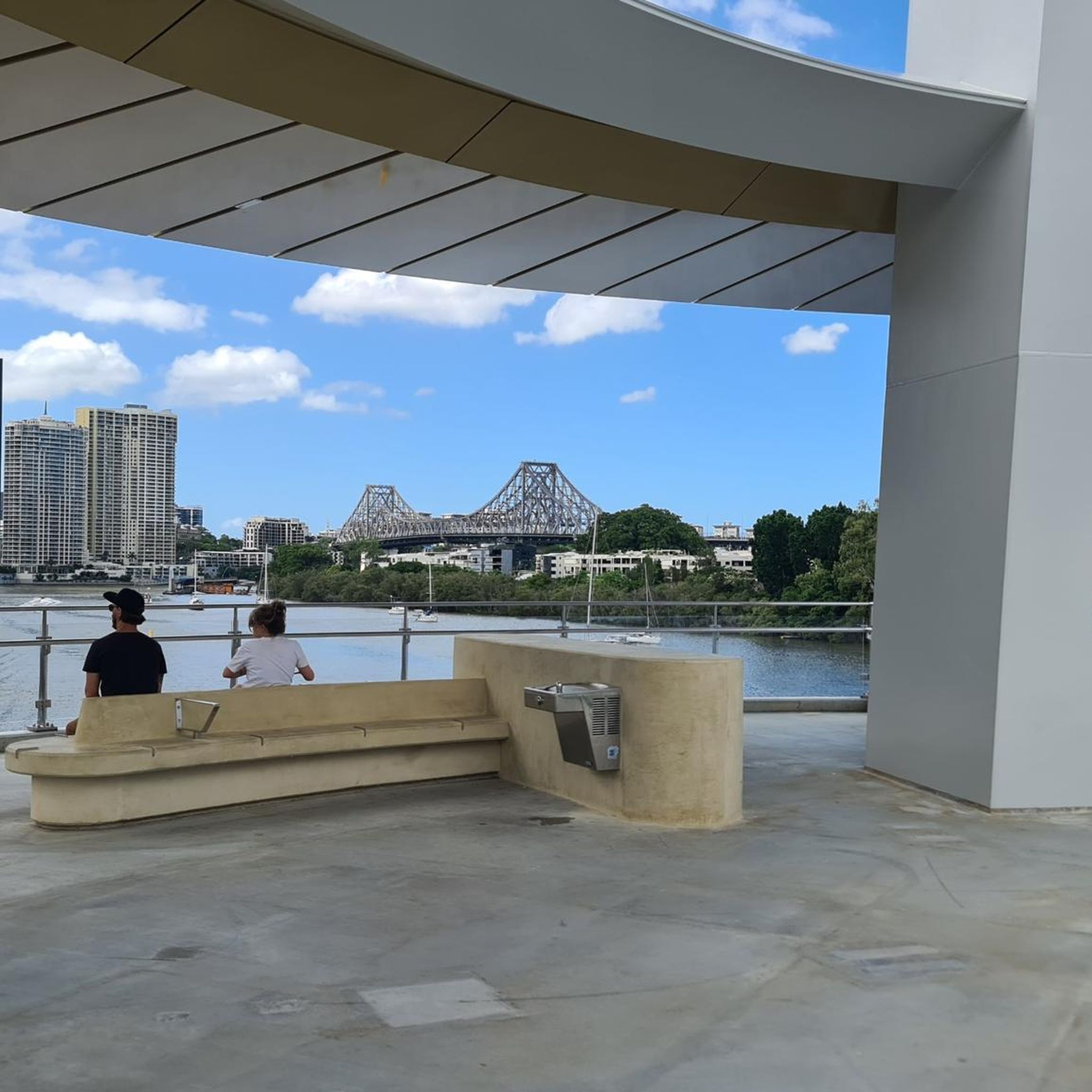
The Brisbane River, known traditionally as Maiwar by the Turrbal people, is the main waterway running through Brisbane before emptying into Moreton Bay. The river is a tidal estuary through much of the city, giving it the wide, brown, winding appearance that led locals to nickname it the “Brown Snake.” Its curves shape many of Brisbane’s neighbourhoods and riverside parks, with ferries, bridges, and walking paths following the water through the city.
0
0

Mt Coot-tha Reserve is a large natural area on the western edge of Brisbane known for its bushland, scenic lookouts, and popular attractions, including the Brisbane Botanic Gardens and summit precinct. There is an extensive network of walking and cycling tracks in the reserve that wind through dry eucalypt forest and pockets of subtropical vegetation, connecting key areas across the mountain. With shaded bushland, abundant wildlife, and occasional views of the city, it offers plenty of options for outdoor recreation to immerse yourself in nature.
0
0
The Pinnacle Track winds along the slopes of Mount Coot-tha, climbing through dry eucalyptus forests and leading to several viewpoints within the reserve. There are beautiful views of Brisbane and the surrounding bushland as it approaches the Pinnacle area and is often used as a connection to longer circuits and junctions within the extensive trail network of Mount Coot-tha Reserve.
0
0

We’re grippy runners or hiking boots because the track is shaley
0
0

Frequently Asked Questions
What is the general difficulty level of gravel bike trails in Toohey Forest?
Gravel biking in Toohey Forest is primarily suited for experienced riders. All routes currently listed are rated as difficult, featuring significant elevation gain and varied terrain.
Are there any beginner-friendly gravel bike routes in Toohey Forest?
Currently, all gravel bike routes listed in Toohey Forest are rated as difficult. Riders new to gravel biking or seeking easier paths may find the terrain challenging due to undulating sections and varied gradients.
What are the typical distances and durations for gravel bike rides in Toohey Forest?
The gravel bike trails in Toohey Forest vary significantly in length and time. For example, the Rocket Frog Trail, Gap Creek – Pinnacle Trail – 14% Incline loop from Toowong is a substantial 44.0 miles (70.8 km) route, typically taking around 4 hours 51 minutes. Shorter options like the Indooroopilly Bridge – Jindalee Route loop from Chelmer cover 18.3 miles (29.5 km) and can be completed in about 2 hours 30 minutes.
Are there any circular gravel bike routes available in Toohey Forest?
Yes, many of the gravel bike trails in Toohey Forest are designed as loops, offering a convenient way to start and finish at the same point. Examples include the Goodwill Bridge – Kurilpa Bridge loop from South Brisbane and the Jack Pesch Bridge – Mount Coot-tha Lookout loop from Oxley.
What is the best time of year to go gravel biking in Toohey Forest?
The best time for gravel biking in Toohey Forest is generally during the cooler, drier months of autumn (March to May) and spring (September to November). Summers can be hot and humid, while heavy rainfall in the wet season (December to February) can make trails muddy and less enjoyable.
Is Toohey Forest suitable for family-friendly gravel biking?
Given that all listed gravel bike routes in Toohey Forest are rated as difficult, they may not be ideal for families with young children or those seeking very easy, flat rides. The terrain includes undulating sections and varied gradients better suited for more experienced riders.
What are the parking options for accessing gravel bike trails in Toohey Forest?
Toohey Forest, being an urban bushland reserve, has several access points with parking available. Common starting points often include car parks near Griffith University (Nathan Campus) or local streets bordering the reserve. Always check local signage for parking restrictions.
Can I reach the Toohey Forest gravel trails using public transport?
Yes, Toohey Forest is well-serviced by public transport, particularly buses that connect to Griffith University's Nathan Campus, which is a major entry point to the forest. This allows for convenient access to various trailheads without needing a car.
Are there any cafes or facilities near the gravel bike trails in Toohey Forest?
While Toohey Forest itself is a natural reserve, its urban location means there are cafes, shops, and other facilities available in the surrounding suburbs, particularly near Griffith University and in areas like Nathan, Salisbury, and Holland Park West. These are easily accessible before or after your ride.
What do other gravel bikers enjoy most about Toohey Forest?
The komoot community highly rates Toohey Forest, with an average score of 5.0 stars. Riders often praise the diverse environment, including eucalypt forests and open woodlands, and the challenging undulating terrain that provides a rewarding off-road cycling experience within an urban setting.
What kind of terrain can I expect on the gravel bike trails in Toohey Forest?
The gravel bike trails in Toohey Forest feature a mix of dirt and gravel surfaces, characteristic of eucalypt forests and open woodlands. You can expect undulating terrain with varied gradients, including some significant climbs and descents, making for a dynamic ride.
Most popular routes in Toohey Forest

Get inspired with the komoot mobile app


Explore more
Browse the best Gravel rides in other regions.
