The best cycling routes in Toohey Forest
4.5
(294)
3,515
riders
83
rides
Touring cycling in Toohey Forest offers routes through a significant natural bushland area within Brisbane. The terrain is characterized by eucalypt forests, gentle hills, and creek lines, providing a mix of paved and unpaved paths suitable for various cycling styles. The forest's elevation changes are generally mild, making it accessible for many touring cyclists. This urban green space provides a natural setting for cycling within the city.
Best touring cycling routes in Toohey Forest
- The most popular touring cycling route is Velo 1 Construction Site – Goodwill Bridge loop from Holland Park, a 13.6 miles (21.9 km) trail that takes 1 hour 18 minutes to complete, connecting urban areas with natural parkland.
- Another top favourite among local touring cyclists is Kangaroo Point Green Bridge – Goodwill Bridge loop from Holland Park, an easy 14.4 miles (23.1 km) path, offering views of the city skyline and Brisbane River.
- Local touring cyclists also love the Velo 1 Construction Site loop from Greenslopes, a 4.8 miles (7.8 km) trail leading through urban green spaces and local bushland, often completed in about 28 minutes.
- Touring cycling in Toohey Forest is defined by eucalypt forests, gentle hills, and creek lines. The network offers options for easy, moderate, and difficult routes, catering to different ability levels.
- The routes in Toohey Forest are highly rated by the komoot community with an average score of 4.5 stars from more than 300 reviews. More than 4000 touring cyclists have used komoot to explore Toohey Forest's varied terrain.
Last updated: July 2, 2026
4.5
(6)
112
riders
20.4km
01:14
120m
120m
Easy bike ride. Great for any fitness level. Mostly paved surfaces. Suitable for all skill levels.
5.0
(5)
90
riders
Easy bike ride. Great for any fitness level. Mostly paved surfaces. Suitable for all skill levels.

Sign up for free
4.4
(5)
68
riders
93.6km
05:35
460m
460m
Hard bike ride. Very good fitness required. Mostly paved surfaces. Suitable for all skill levels.
4.7
(3)
20
riders
113km
06:55
970m
970m
Hard bike ride. Very good fitness required. Mostly paved surfaces. Suitable for all skill levels.
8
riders
Easy bike ride. Great for any fitness level. Mostly paved surfaces. Suitable for all skill levels.
Get access to more routes and recommendations from other explorers.
Sign up for free
Already have an account?
Our route recommendations are based on thousands of hikes, rides, and runs completed by other people on komoot.
Start today with a free account
Your next adventure awaits.
Login or Signup

Tips from the Community

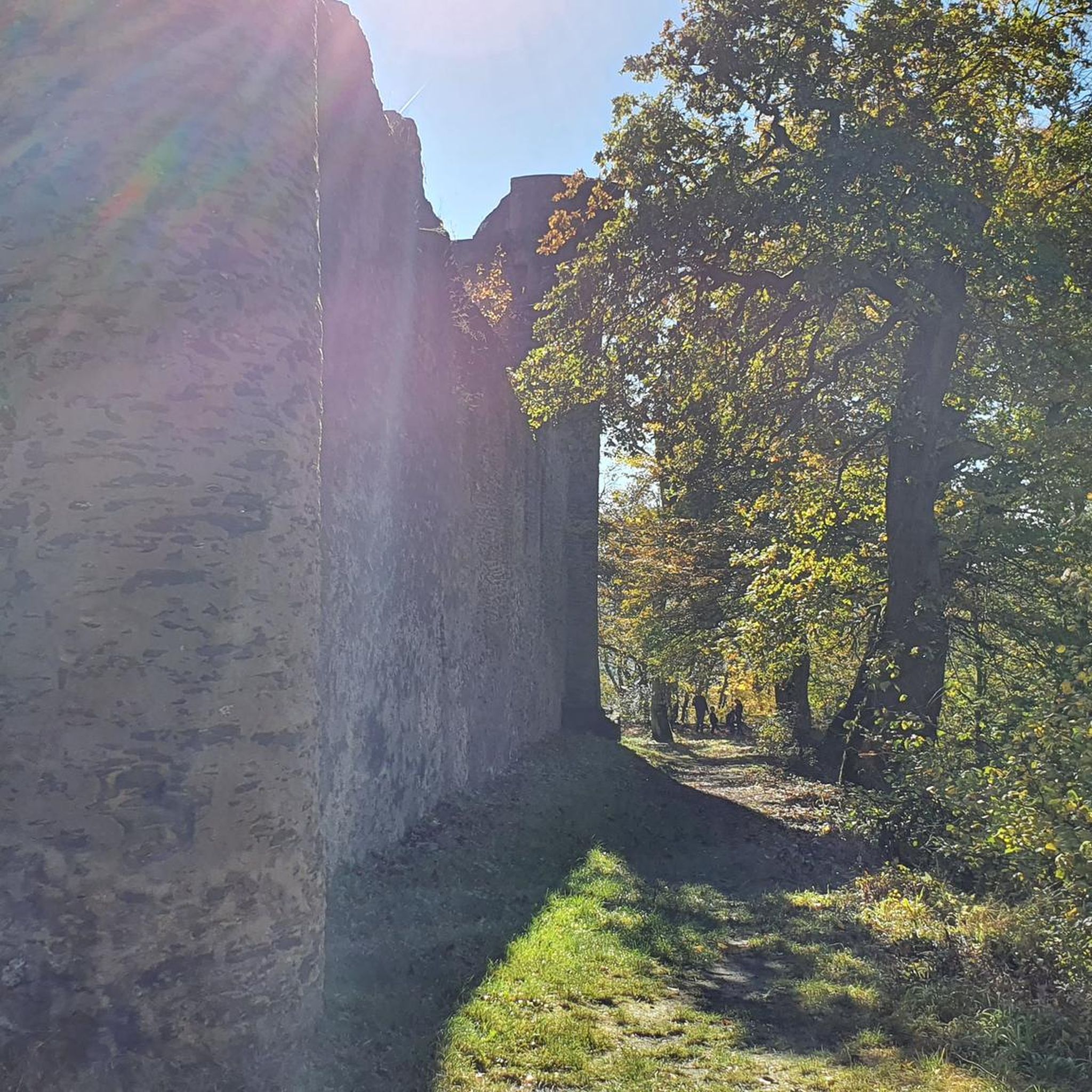
This lookout sits on one of the highest points on Brisbane’s south side, with wide views across the city and surrounding suburbs. On clear days, the view extends beyond the urban area toward Moreton Bay and distant ranges. The summit is easily accessible by road or walking tracks, with open viewing areas, picnic spaces, and a café nearby. It’s a popular spot, especially around sunset, when visibility and lighting shift across the skyline.
0
0

The South East Freeway Bikeway is a shared walking and cycling route along the Pacific Motorway corridor. The mostly sealed path provides a direct route between the southern suburbs and the city, popular with both commuters and recreational users. It connects with other paths, such as the Norman Creek Bikeway and local parkland trails along the route, making it ideal for spending the day exploring the area free from traffic.
0
0
This viewpoint looks across the Brisbane River toward the modern towers that define the city’s central business district, along with landmarks including the Story Bridge and South Bank. The skyline rises in clean lines of glass and steel, often reflected in the water, with green riverbank parklands softening the urban edge. It’s a popular place to pause for photos, especially in the evening, when the changing light makes the buildings glow across the river.
0
0
Kangaroo Point Bikeway is a riverside shared path that runs along the Brisbane River at Kangaroo Point, linking the Story Bridge area with South Bank and the city’s broader cycling network. The paved route follows the waterfront, offering continuous views of the river and Brisbane’s skyline, and is a popular route with cyclists and walkers as a scenic connection between several inner-city parks and riverfront attractions.
0
0

The Kangaroo Point Green Bridge is a pedestrian-only bridge spanning the Brisbane River. This new bridge links the city center with Kangaroo Point and was completed at the end of 2024. Part of the city's "Green Bridges" project, designed to reduce car use and, as a bonus, offers super-scenic views of the skyline, cliffs, and river.
1
0
Newstead Park is a waterfront park with some interesting historical stops. In the middle of the park, the Newstead House, built in 1845, is the oldest surviving home in the area and is now a museum. For a nature-based historical stop, check out the Old Fig Tree, which has a plaque explaining its massive size and age. This is a great stop on the Lores Bonney Riverwalk, with public restrooms and plenty of places to take a break on the grass and soak up the sun.
1
0
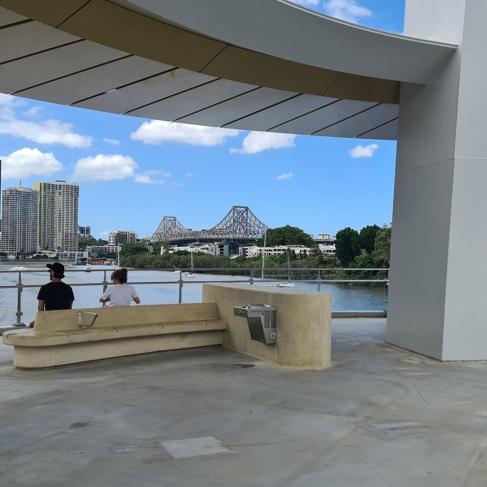
Goodwill Bridge is a pedestrian and cycle bridge spanning the Brisbane River between South Bank and Gardens Point. From the centre of the bridge, you get open views along the river toward the city skyline, with high-rise towers reflecting off the water below. The bridge sits slightly elevated above river level, giving you a clear view of boats passing beneath and the CBD rising beyond. It’s a popular crossing, so keep left and stay aware of cyclists as you pause to take in the view.
0
0
Brisbane City Botanic Gardens is a heritage riverside park established in 1855 at the edge of the CBD, known for its mature trees, ornamental plantings, and mangrove boardwalks. Meandering paths connect lawns, ponds, and historic features, creating a shaded, peaceful stretch along the Riverwalk loop. Its location by the river serves as an important floodplain, emphasising the city's historical ties to the Brisbane River.
0
0
Frequently Asked Questions
What kind of terrain can I expect when touring cycling in Toohey Forest?
Toohey Forest offers a diverse landscape for touring cyclists, characterized by eucalypt forests, gentle hills, and creek lines. You'll find a mix of both paved and unpaved paths, with generally mild elevation changes, making it accessible for various cycling styles within this urban green space.
How many touring cycling routes are available in Toohey Forest?
There are over 90 touring cycling routes available in Toohey Forest. These routes cater to different skill levels, with options ranging from easy to difficult.
Are there easy touring cycling routes suitable for beginners or families in Toohey Forest?
Yes, Toohey Forest has 25 easy touring cycling routes, perfect for beginners or families. An excellent option is the Velo 1 Construction Site loop from Greenslopes, which is 7.8 km long and takes about 28 minutes to complete, leading through urban green spaces and local bushland.
What are the options for more advanced touring cyclists in Toohey Forest?
For experienced touring cyclists seeking a challenge, Toohey Forest offers 24 difficult routes. One such route is the Newstead Park – Goodwill Bridge loop from Rocklea, which spans 86.7 km and typically takes over 5 hours to complete.
Are there any circular touring cycling routes in Toohey Forest?
Many of the touring cycling routes in Toohey Forest are loops, offering convenient circular journeys. For example, the popular Velo 1 Construction Site – Goodwill Bridge loop from Holland Park is a 21.9 km route that connects urban areas with natural parkland.
What do other touring cyclists say about their experience in Toohey Forest?
The touring cycling routes in Toohey Forest are highly rated by the komoot community, with an average score of 4.5 stars from over 300 reviews. Cyclists often praise the accessibility of natural bushland within the city and the variety of paths available.
What is the best season for touring cycling in Toohey Forest?
Brisbane generally has a subtropical climate. The cooler, drier months from April to October are typically ideal for touring cycling in Toohey Forest, offering more comfortable temperatures and less humidity compared to the summer months.
Are there any viewpoints or scenic spots along the touring cycling routes?
While Toohey Forest is primarily known for its bushland and creek lines, some routes offer glimpses of the city skyline and Brisbane River. The Kangaroo Point Green Bridge – Goodwill Bridge loop from Holland Park, for instance, provides scenic views as it follows the river.
Is public transport accessible near the touring cycling routes in Toohey Forest?
Toohey Forest is an urban green space within Brisbane, making it relatively accessible by public transport. Various bus routes service the areas surrounding the forest, allowing cyclists to reach different starting points for their rides.
Are there cafes or places to eat near the touring cycling routes in Toohey Forest?
As Toohey Forest is located within Brisbane, there are numerous cafes and eateries in the surrounding suburbs like Holland Park, Greenslopes, and Fairfield. You'll find options for refreshments before or after your ride just a short distance from the forest's edges.
What kind of wildlife might I encounter while cycling in Toohey Forest?
Toohey Forest is home to diverse wildlife, including various bird species, wallabies, and possums. Cyclists might spot these animals, especially during quieter times of the day. Remember to observe wildlife from a distance and avoid disturbing their natural habitat.
What are the typical distances and durations for touring cycling routes in Toohey Forest?
Route distances in Toohey Forest vary significantly. Easy routes like the Velo 1 Construction Site loop from Greenslopes are around 7.8 km and take under 30 minutes, while more challenging routes such as the Goodwill Bridge – Velo 1 Construction Site loop from Fairfield can extend to 141.5 km and require over 8 hours to complete.
Most popular routes in Toohey Forest

Get inspired with the komoot mobile app


Explore more
Browse the best Cycling routes in other regions.
