The best gravel rides around Mountain Ash East
4.3
(11)
136
riders
16
rides
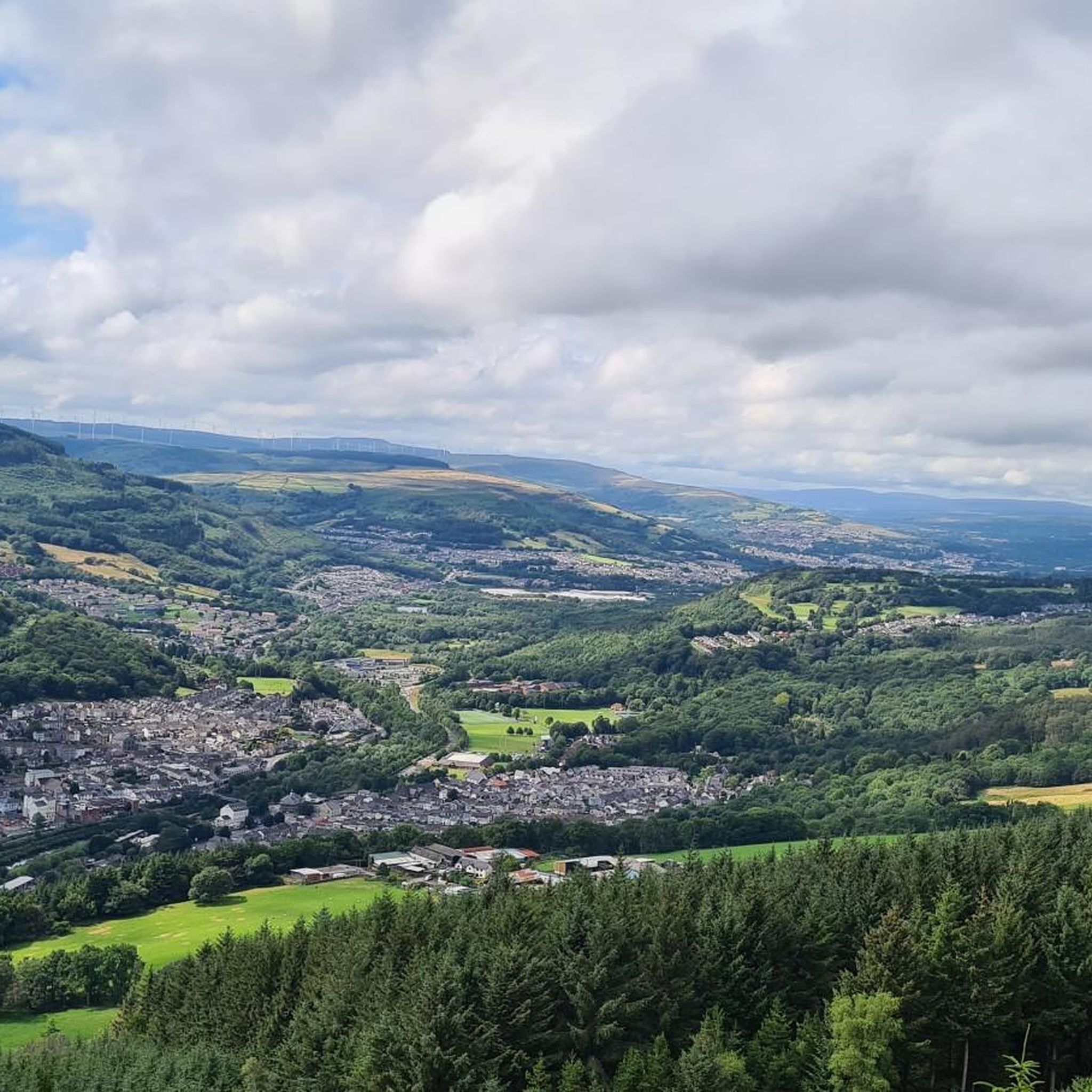
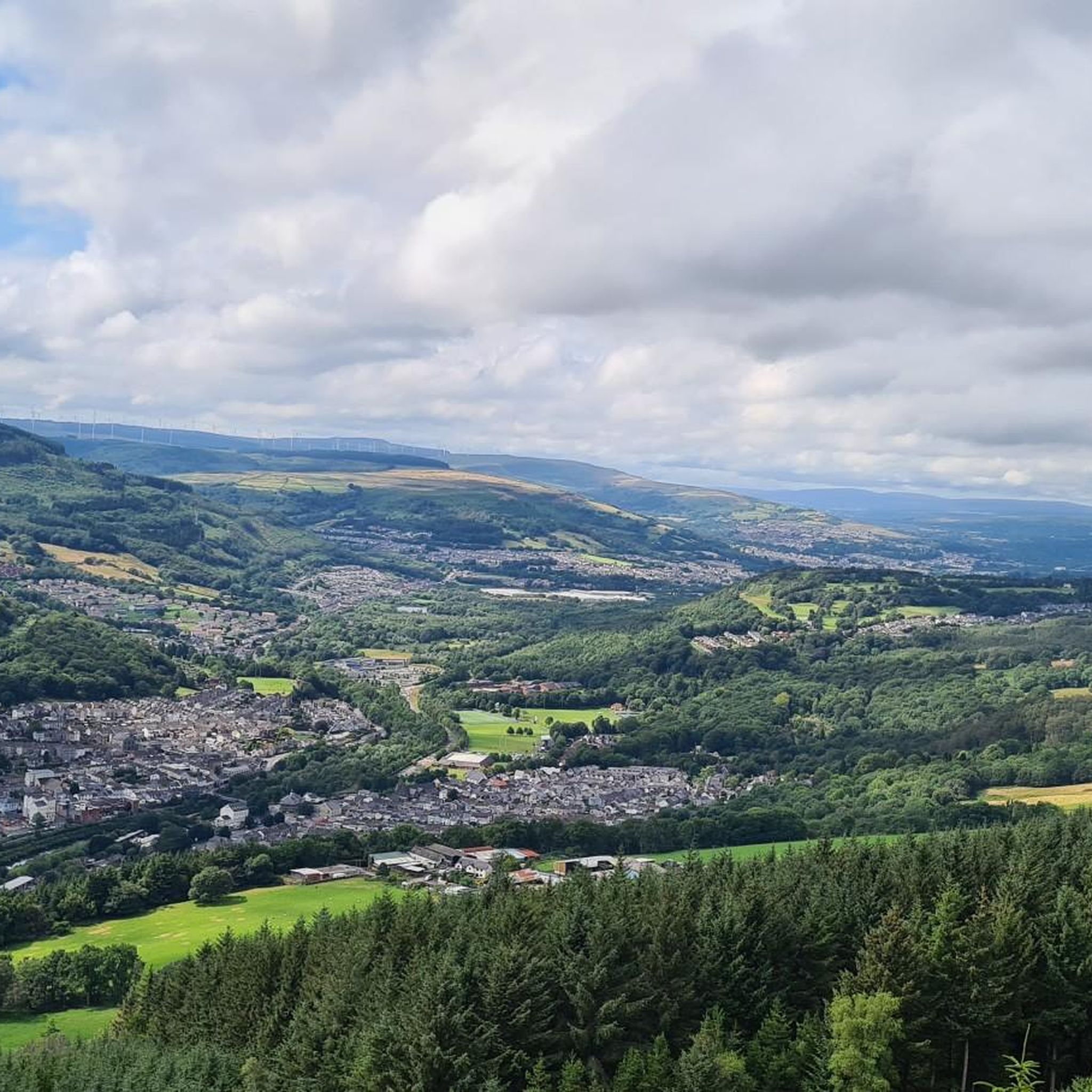
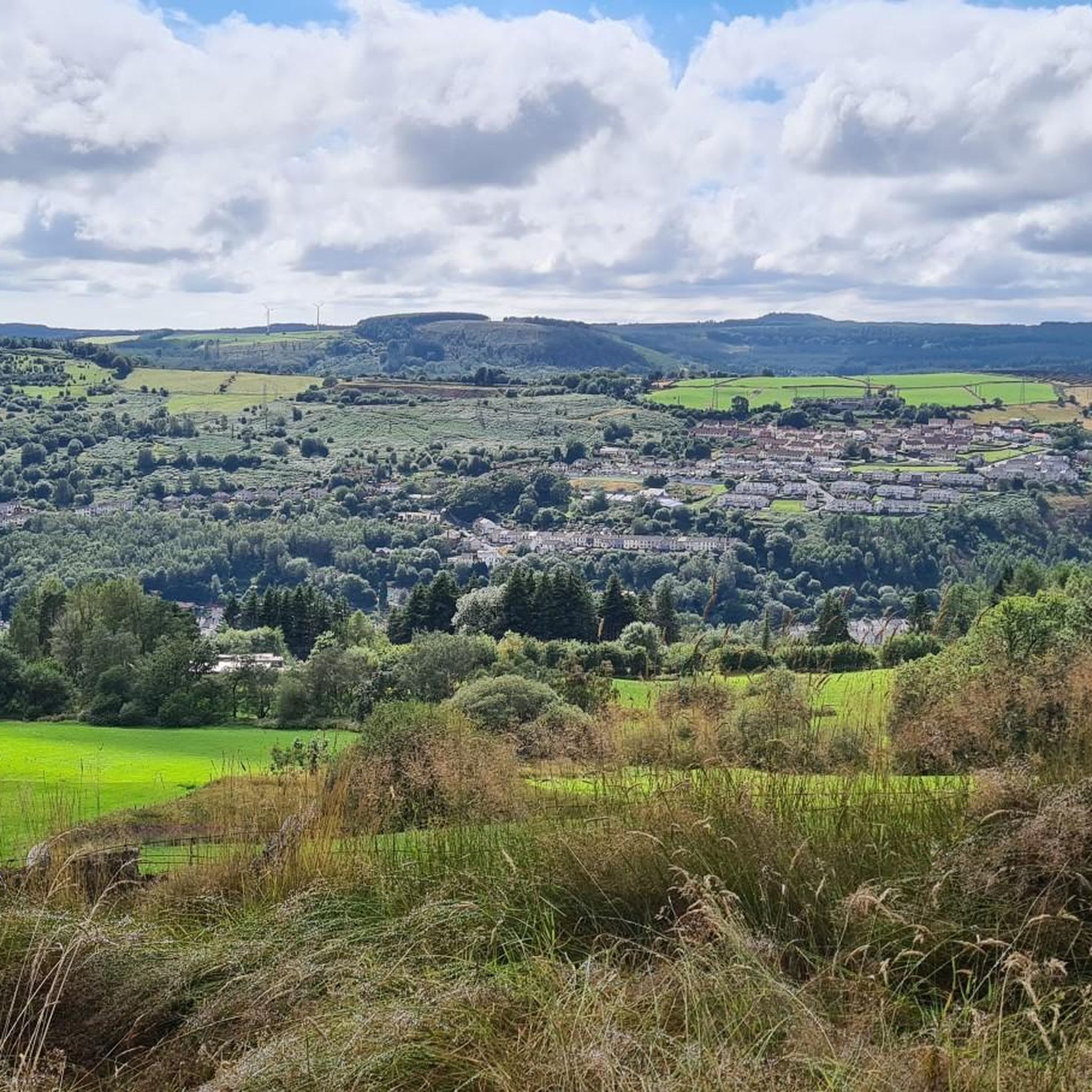
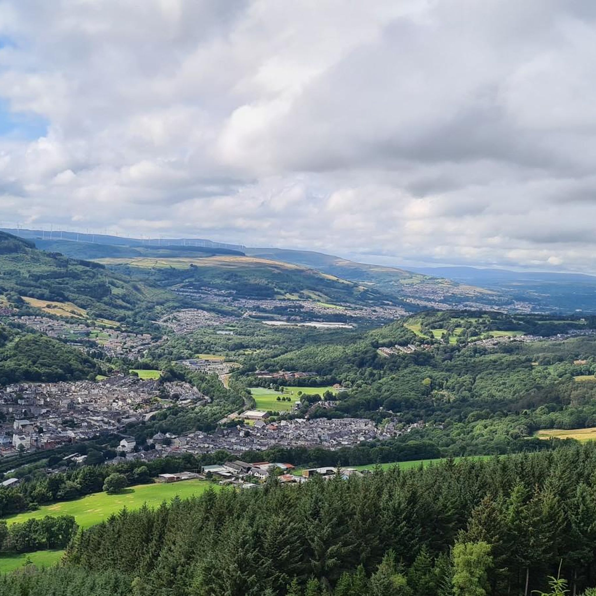
Gravel biking around Mountain Ash East is characterized by its diverse landscapes, including mountainous terrain, dense forests, and significant river valleys. The region features prominent natural features such as Rhigos Mountain, St Gwynno Forest, and the River Taff. Riders can explore a network of trails that often incorporate reservoirs like Talybont and Pontsticill, providing varied scenery and challenging ascents.
Best gravel bike trails around Mountain Ash East
- The most popular gravel bike trail is Talybont Reservoir – Pontsticill Reservoir loop…
Last updated: July 3, 2026
5.0
(1)
44
riders
57.8km
03:35
910m
910m
Hard gravel ride. Very good fitness required. Mostly paved surfaces. Suitable for all skill levels.
4.5
(2)
14
riders
Hard gravel ride. Very good fitness required. Mostly paved surfaces. Suitable for all skill levels.

Sign up for free
4.0
(2)
16
riders
Moderate gravel ride. Good fitness required. Mostly paved surfaces. Suitable for all skill levels.
4.0
(2)
9
riders
43.1km
02:47
630m
630m
Hard gravel ride. Very good fitness required. Mostly paved surfaces. Suitable for all skill levels.
11
riders
47.4km
03:34
970m
970m
Hard gravel ride. Very good fitness required. Mostly paved surfaces. Suitable for all skill levels.
Get access to more routes and recommendations from other explorers.
Sign up for free
Already have an account?
Our route recommendations are based on thousands of hikes, rides, and runs completed by other people on komoot.
Start today with a free account
Your next adventure awaits.
Login or Signup
Tips from the Community

Pentwyn Reservoir is the smaller sister to Pontsticill Reservoir, both being separated by a causeway going towards the old Dolygaer outdoor centre. It is a very popular spot with fishermen and outdoor enthusiasts alike. The reservoir is used daily for a mix of watersports such as paddle boarding, kayaking, canoeing and raft building. It is in a beautiful setting, and you have great views north towards Pen y Fan and nice walks nearby.
0
0

lovely . ( no phone signal ) bring yourself a drink and enjoy the view
1
0


Great place great view right next door to the zip world and the Afan mountain bike trails.
0
0

the lower reservoir has a nice flat road next to it, a welcome relief after the lumpy roads that lead to it from either direction.
0
0

Great views and a very large plug hole at the end of the Dam
0
0
Great fun on soft loose gravel. Steep decent on the loose or down the concrete acces path.
0
0

A wooden drawbridge carried the road over the canal and was replaced by a fixed bridge after navigation on the canal ceased in the 1930s. Before the canal reopened to boats in 1970, a steel drawbridge with an electric operating mechanism was installed. There are four other drawbridges along the canal to the west. They are for farmers to access fields and are less elaborate than the one at Talybont. Drawbridges saved the canal company the expense of building stone bridges over the canal at these locations.
0
0
Frequently Asked Questions
How many gravel bike trails are available in Mountain Ash East?
Mountain Ash East offers nearly 20 gravel bike trails, providing a diverse range of options for riders. While most routes are considered difficult, there are a few moderate trails available for those seeking a less challenging experience.
What kind of terrain can I expect on gravel bike trails in Mountain Ash East?
You'll encounter a varied landscape, from mountainous terrain and dense forests to significant river valleys like the Taff and Cynon. Trails often incorporate scenic reservoirs such as Talybont and Pontsticill. Expect a mix of mostly paved sections, hard gravel roads, and even some fire roads, with some routes requiring good fitness and advanced skills.
Are there any family-friendly gravel biking options in Mountain Ash East?
While many routes in Mountain Ash East are challenging, the region does offer sections of the Taff Trail which are generally more accessible and can be suitable for families. These sections often feature unpaved paths and preserve industrial archaeological history, making for an interesting ride. Always check individual route details for suitability.
What are some notable natural features or landmarks I might see along the gravel trails?
The trails often pass through picturesque environments. You can expect to see significant natural features like the Talybont and Pontsticill Reservoirs, and ride through areas like St Gwynno Forest. For specific points of interest, consider exploring highlights such as the Taff Trail Tramroad Section or the Talybont Reservoir to Merthyr Tydfil – Taff Trail (NCR 8).
What do other gravel bikers enjoy most about the trails in Mountain Ash East?
The gravel biking routes in Mountain Ash East are highly rated by the komoot community, with an average score of 4.3 stars. Riders often praise the diverse landscapes, the challenging ascents, and the scenic views, particularly around the reservoirs and from mountain fire roads.
Are there any circular gravel bike routes in the area?
Yes, there are several circular routes available. A popular option is the Pontsticill Reservoir – Pontsticill Reservoir loop from Cefn-coed-y-cymmer, which is a moderate 30.3 km trail. Another challenging circular route is the Rhigos Mountain Fire Roads – View of Treherbert Basin loop from Ton Pentre, offering great views.
When is the best time of year for gravel biking in Mountain Ash East?
The region offers enjoyable riding throughout much of the year. Spring and autumn typically provide pleasant temperatures and vibrant scenery. While winter riding is possible, some unpaved sections, like the Taff Trail Tramroad, can become muddy, so checking trail conditions beforehand is advisable.
Are there any routes that offer significant elevation gain for a challenging ride?
Absolutely. Many routes in Mountain Ash East feature significant elevation gains. For instance, the Talybont Reservoir – Pontsticill Reservoir loop from Merthyr Tydfil involves over 800 meters of climbing. Another challenging option is the Blaen-y-Glyn Climb – Taf Fechan Forest gravel track loop from Merthyr Tydfil, which includes a substantial climb through the forest.
Can I bring my dog on the gravel biking trails?
Many outdoor trails in the UK, including gravel paths, are dog-friendly, especially if dogs are kept under control. However, specific rules can vary by land ownership (e.g., forest parks, reservoir areas). It's always best to check local signage or specific route details for any restrictions regarding dogs, particularly around livestock or nature reserves.
Are there places to eat or stay near the gravel biking routes?
Mountain Ash East and its surrounding towns offer various amenities. You'll find cafes, pubs, and accommodation options in nearby communities like Merthyr Tydfil, Ton Pentre, and Abercynon. The Mountain Ash Circular Walk, for example, starts from the George Inn pub, indicating local establishments are available.
What are the options for parking when accessing gravel bike trails in Mountain Ash East?
Parking is generally available in the towns and villages that serve as starting points for many of the routes, such as Merthyr Tydfil, Ton Pentre, and Cefn-coed-y-cymmer. For specific trailheads, it's recommended to check the route details on komoot for designated parking areas or nearby public car parks.
Is public transport an option to reach the gravel biking routes?
Yes, public transport can be used to access some of the gravel biking routes. The Taff Trail, for instance, offers an easy route into Cardiff and connects various towns in the region, which are served by public transport. Checking local bus and train schedules for towns like Merthyr Tydfil and Abercynon would be a good starting point.
Most popular attractions around Mountain Ash East

Get inspired with the komoot mobile app


Explore more
Browse the best Gravel rides in other regions.
