The best gravel rides around Pen-Y-Bont-Fawr
5.0
(1)
9
riders
3
rides
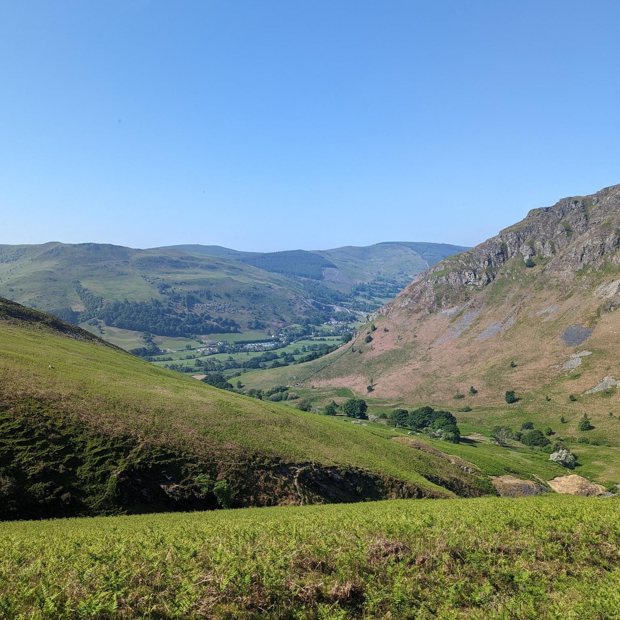
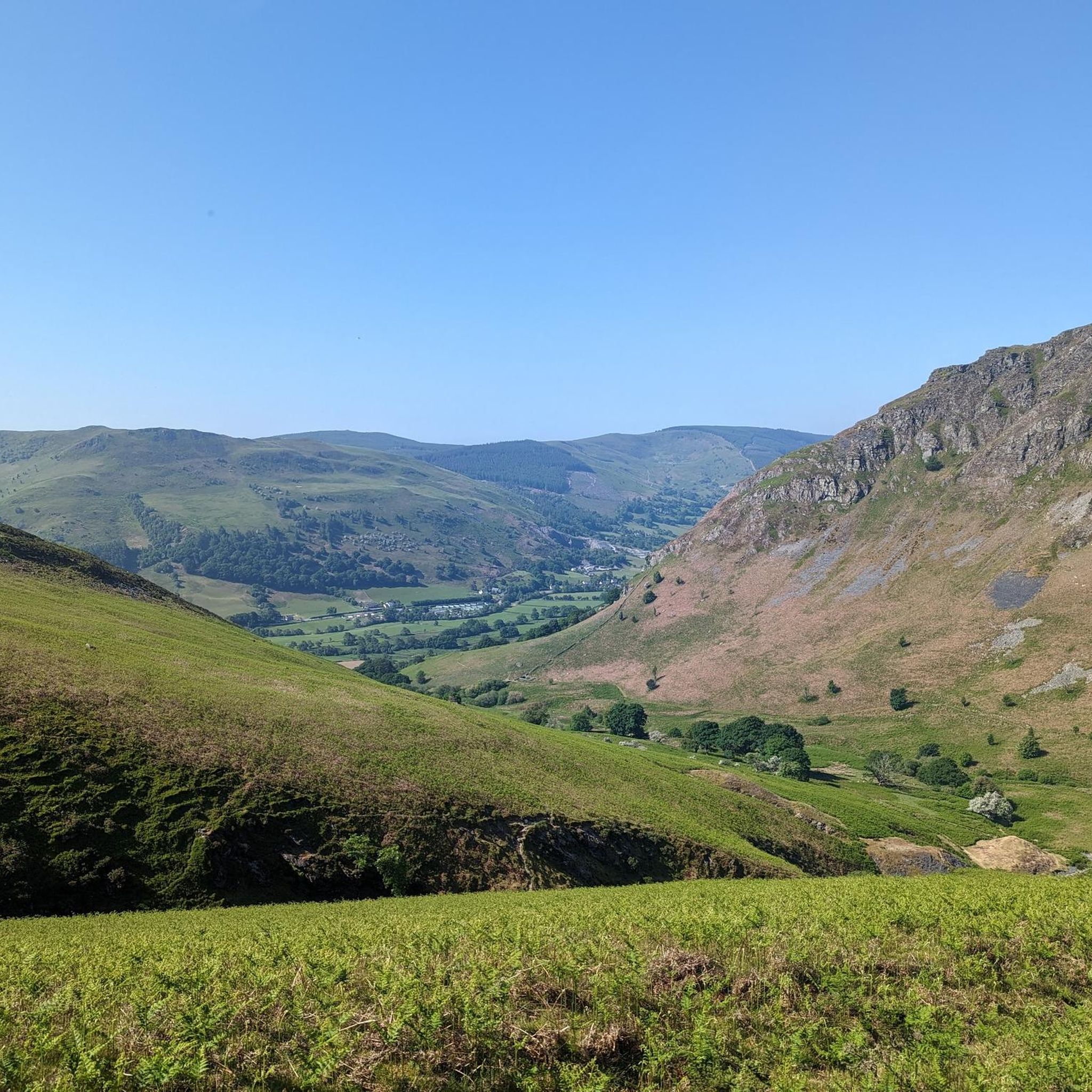
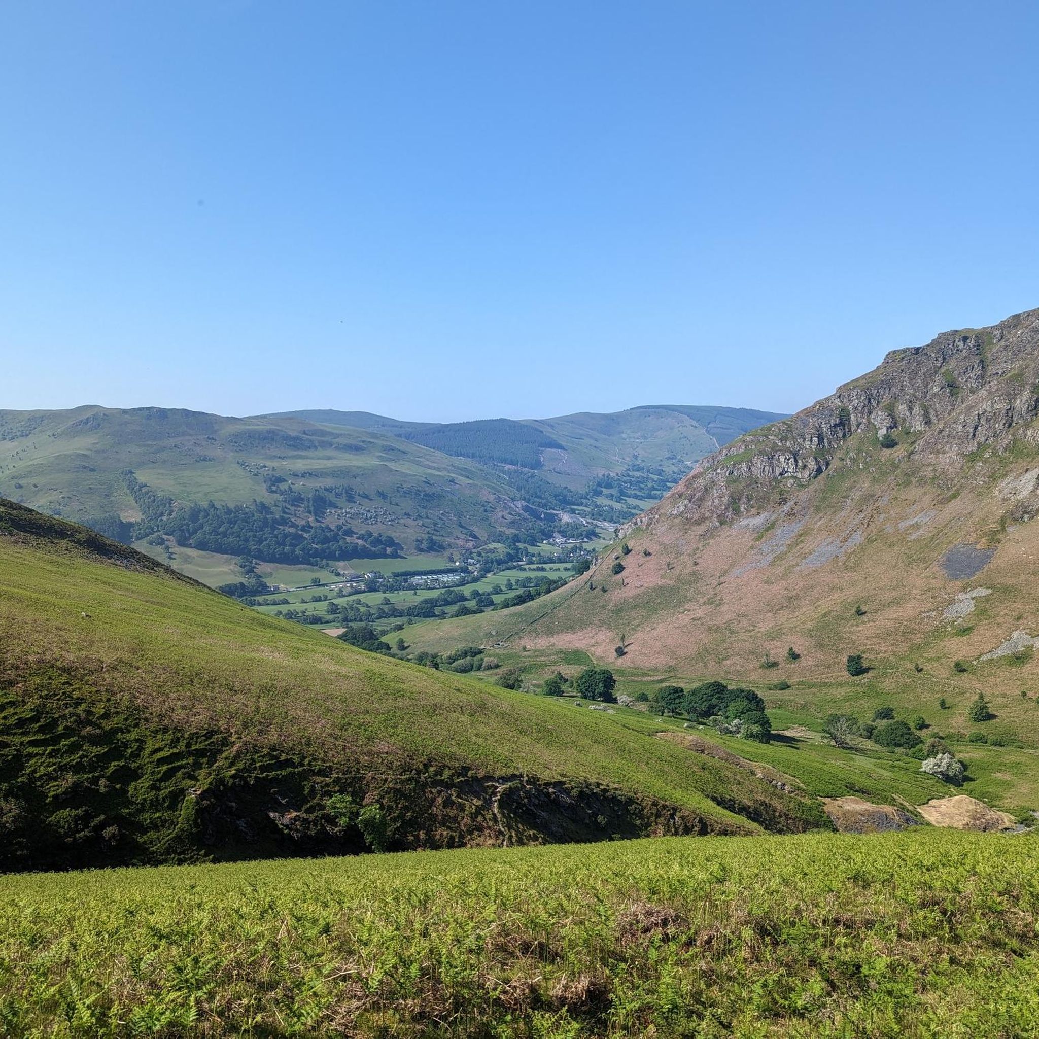
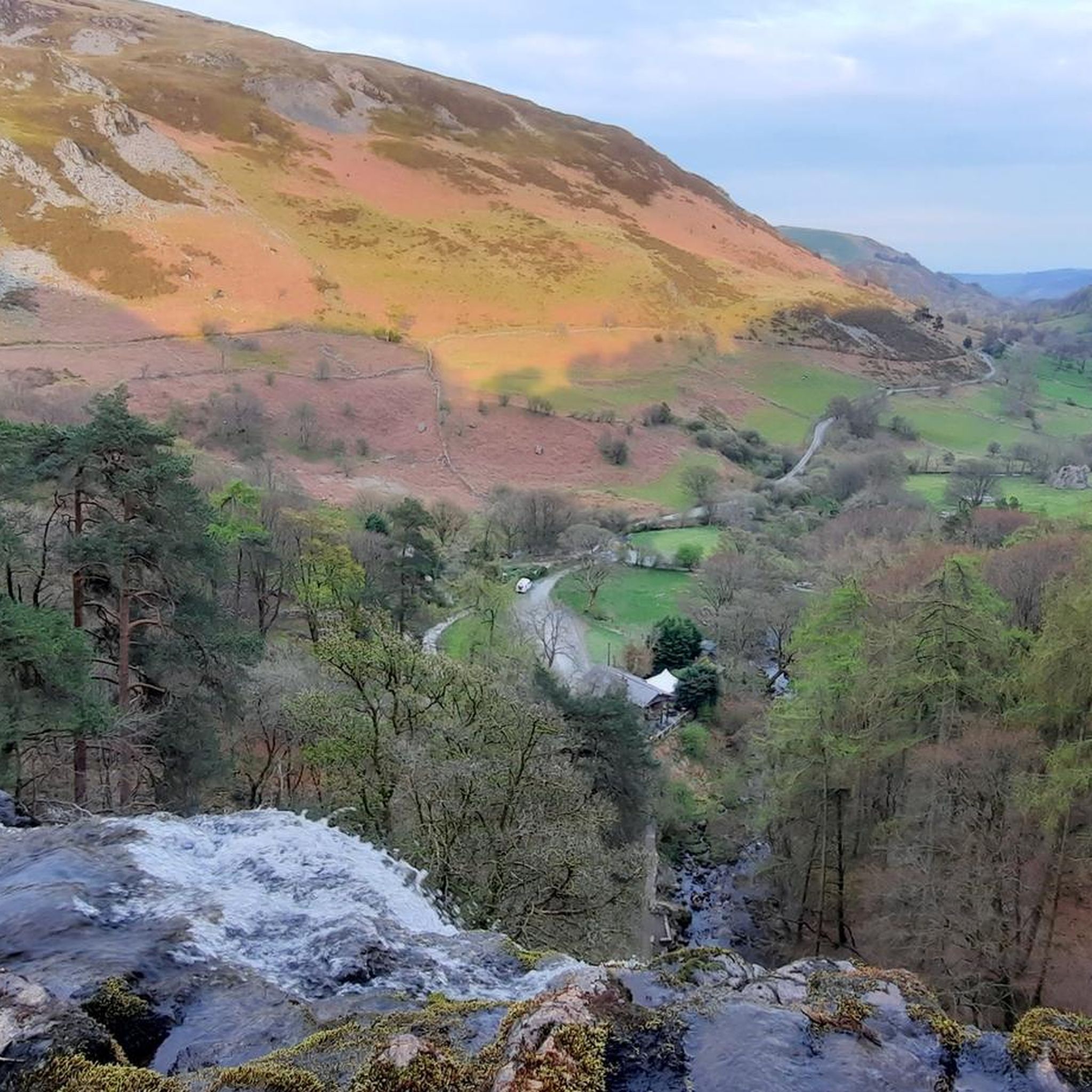
Gravel biking around Pen-Y-Bont-Fawr offers challenging routes through a landscape characterized by rolling hills, deep valleys, and significant elevation changes. The region features a mix of open moorland, forested sections, and routes around large water bodies like Lake Vyrnwy. These gravel bike trails near Pen-Y-Bont-Fawr often include sustained climbs and descents, providing a demanding experience for riders.
Best gravel bike trails around Pen-Y-Bont-Fawr
- The most popular gravel bike trail is Lake Vyrnwy Straining Tower – Wayfarer Eastern Approach loop from…
Last updated: July 2, 2026
2
riders
81.5km
05:55
1,640m
1,640m
Hard gravel ride. Very good fitness required. Mostly paved surfaces. Suitable for all skill levels.
1
riders
81.3km
06:31
1,920m
1,920m
Hard gravel ride. Very good fitness required. Mostly paved surfaces. Suitable for all skill levels.

Sign up for free
2
riders
48.8km
03:56
1,020m
1,020m
Hard gravel ride. Very good fitness required. Mostly paved surfaces. Suitable for all skill levels.
3
riders
49.4km
03:51
1,140m
1,140m
Hard gravel ride. Very good fitness required. Mostly paved surfaces. Suitable for all skill levels.
5.0
(1)
1
riders
44.8km
03:18
960m
960m
Hard gravel ride. Very good fitness required. Mostly paved surfaces. Suitable for all skill levels.
Our route recommendations are based on thousands of hikes, rides, and runs completed by other people on komoot.
Start today with a free account
Your next adventure awaits.
Login or Signup
Tips from the Community

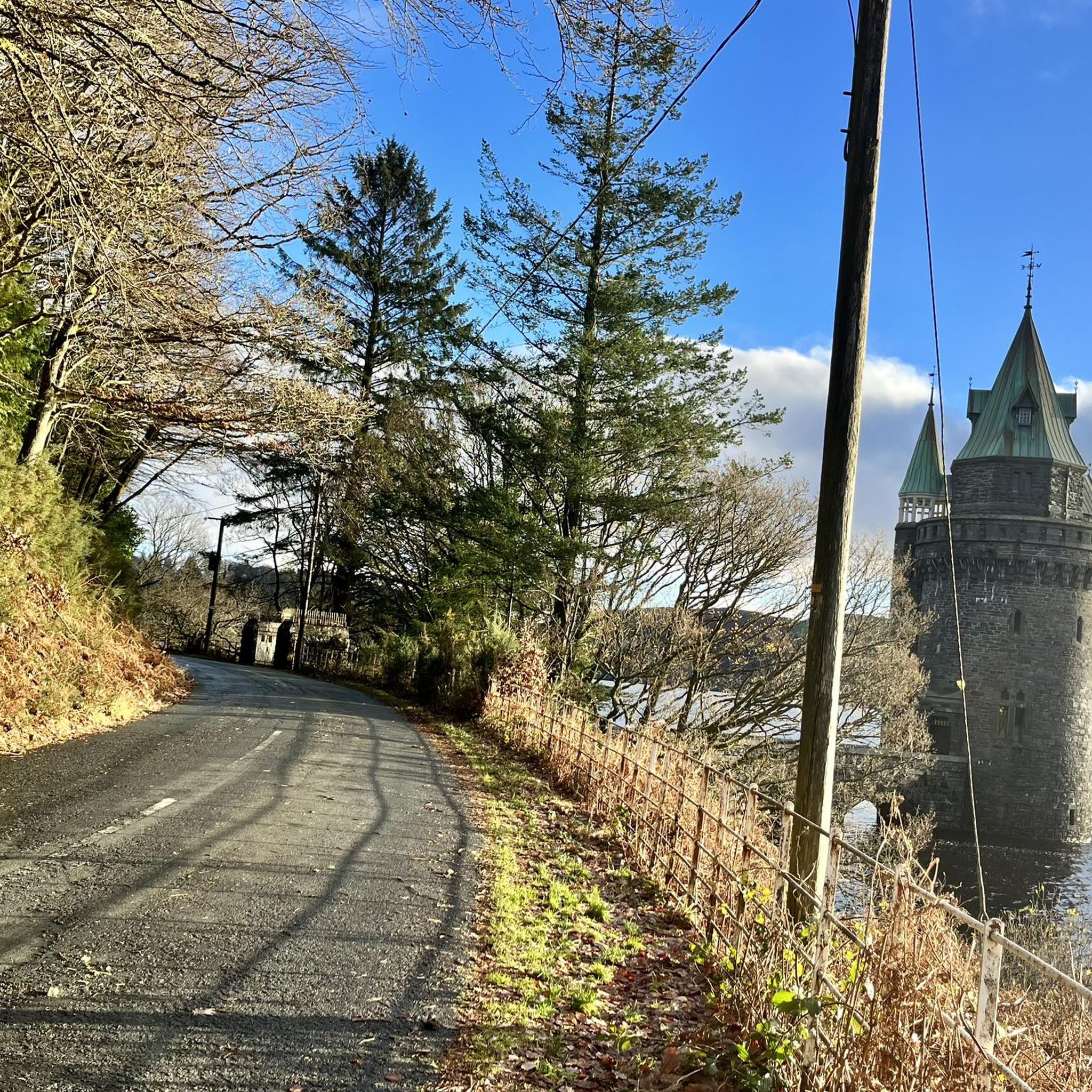
Lake Vyrnwys straining tower! Lovely place and gives it that fairy tale vibe. One of my special places is Vyrnwy.
0
0


Gorgeous area. Be aware the road/trail on the south side (including access to/from Llanymawddwy) are currently closed due to damage from storm Darragh. See https://www.hdcymru.co.uk/our-visitor-sites/lake-vyrnwy/storm-darragh/ for more details.
0
0


The track from the East is broken but doable on a gravel bike - I had to push the last few hundred metres. Awkward terrain - large stones - and plenty of puddles - but a fabulous day on 2 wheels!
0
0

There is a little cafe above the main car park for a coffee and cake after the "gift shop" labelled walks. As usual, Komoot makes the walk easier than using signposts - remember to download to the phone app. Kayaking/canoeing around the lake is only possible for about half of it due to a protected bird sanctuary.
0
0

The Straining Tower at Lake Vyrnwy is an intake tower built to extract water from the lake. The tower stands on the north shore of Lake Vyrnwy, near the village of Llanwddyn, in Powys, Wales. The Lake Vyrnwy dam project was designed to provide a water supply to the city of Liverpool and work on the dam began in 1881. On its completion 11 years later, the lake was the largest reservoir in Europe and water was drawn from it into the straining tower and carried to Liverpool on a 110km-long aqueduct. The engineers for the project were Thomas Hawksley and George Frederick Deacon, although the straining tower was entirely Deacon's design. The tower is constructed in a Gothic Revival style, purportedly based on the tower of the castle at Chillon, Switzerland. It draws heavily on the contemporaneous work of William Burges, whose Cardiff Castle and Castell Coch are clear influences. The straining tower is a Grade I listed building.
3
0
Absolutely fantastic views road surface is great climbs take care over cattle grid. A wonderful experience.
4
0
Frequently Asked Questions
What is the general difficulty level of gravel biking trails around Pen-Y-Bont-Fawr?
Gravel biking around Pen-Y-Bont-Fawr is characterized by challenging routes. All the listed trails are rated as difficult, featuring extensive climbs, significant elevation changes, and rugged terrain, making them best suited for experienced riders.
Are there any particularly long gravel bike routes for experienced riders?
Yes, for those seeking a longer challenge, the Lake Vyrnwy and Dam – Lake Vyrnwy Dam loop from Lake Vyrnwy is a demanding 81.3 km (50.5 miles) route with nearly 2000 meters of elevation gain. Another substantial option is the Lake Vyrnwy Straining Tower – Wayfarer Eastern Approach loop from Llanarmon Dyffryn Ceiriog, covering 81.2 km (50.4 miles).
Are there any gravel bike trails suitable for beginners in Pen-Y-Bont-Fawr?
The gravel biking routes in Pen-Y-Bont-Fawr are generally considered difficult, featuring significant elevation and challenging terrain. There are no routes specifically categorized as easy or moderate in this guide, so beginners may find these trails quite demanding.
What kind of terrain can I expect on the gravel bike trails in this region?
You can expect a varied landscape of rolling hills, deep valleys, open moorland, and forested sections. Many routes also feature sections around large water bodies like Lake Vyrnwy. The terrain often includes sustained climbs and descents on gravel paths.
What are some notable viewpoints or landmarks along the gravel bike routes?
Many routes offer panoramic views over the surrounding hills, especially around Lake Vyrnwy. While riding, you might encounter natural landmarks such as Cadair Berwyn Summit or the Moel Sych Summit Cairn. The Lake Vyrnwy Dam is also a prominent man-made feature on some routes.
Are there any circular gravel bike routes available?
Yes, all the gravel bike routes highlighted in this guide are circular loops. For example, the Lake Vyrnwy and Dam – Lake Vyrnwy loop from Llanwddyn offers a scenic 47.9 km (29.8 miles) ride around the lake, returning to your starting point.
What do other gravel bikers enjoy the most about gravel biking in Pen-Y-Bont-Fawr?
The komoot community frequently praises the challenging climbs, the remote and expansive valleys, and the stunning views, particularly around Lake Vyrnwy. Riders appreciate the demanding nature of the routes and the opportunity to explore varied terrain.
Can I find any waterfalls near the gravel biking trails?
Yes, the region is home to several beautiful waterfalls. Pistyll Rhaeadr, one of the highest waterfalls in Wales, is a significant highlight. You can also find Rhiwargor Waterfall and Nant y Maes Waterfall in the vicinity.
How many gravel bike trails are covered in this guide for Pen-Y-Bont-Fawr?
This guide features 5 distinct gravel bike trails around Pen-Y-Bont-Fawr, all of which are rated as difficult and offer a challenging experience for riders.
Is there a particularly challenging route that includes a notable pass?
Absolutely. The Wayfarer Memorial Pass – Wayfarer Eastern Approach loop from Llangynog is a difficult 52.1 km (32.4 miles) path that traverses rugged terrain and includes a significant pass, offering substantial elevation gain and a memorable ride.
Are there options for advanced gravel routes near Pen-Y-Bont-Fawr?
Yes, the entire network of routes around Pen-Y-Bont-Fawr is designed for advanced gravel bikers. All trails in this guide are rated as difficult, providing sustained climbs, significant elevation, and rugged terrain suitable for experienced riders seeking a challenge.
Most popular attractions around Pen-Y-Bont-Fawr

Get inspired with the komoot mobile app


Explore more
Browse the best Gravel rides in other regions.
