The best walks and hikes around Pen-Y-Bont-Fawr
4.4
(217)
1,903
hikers
67
hikes
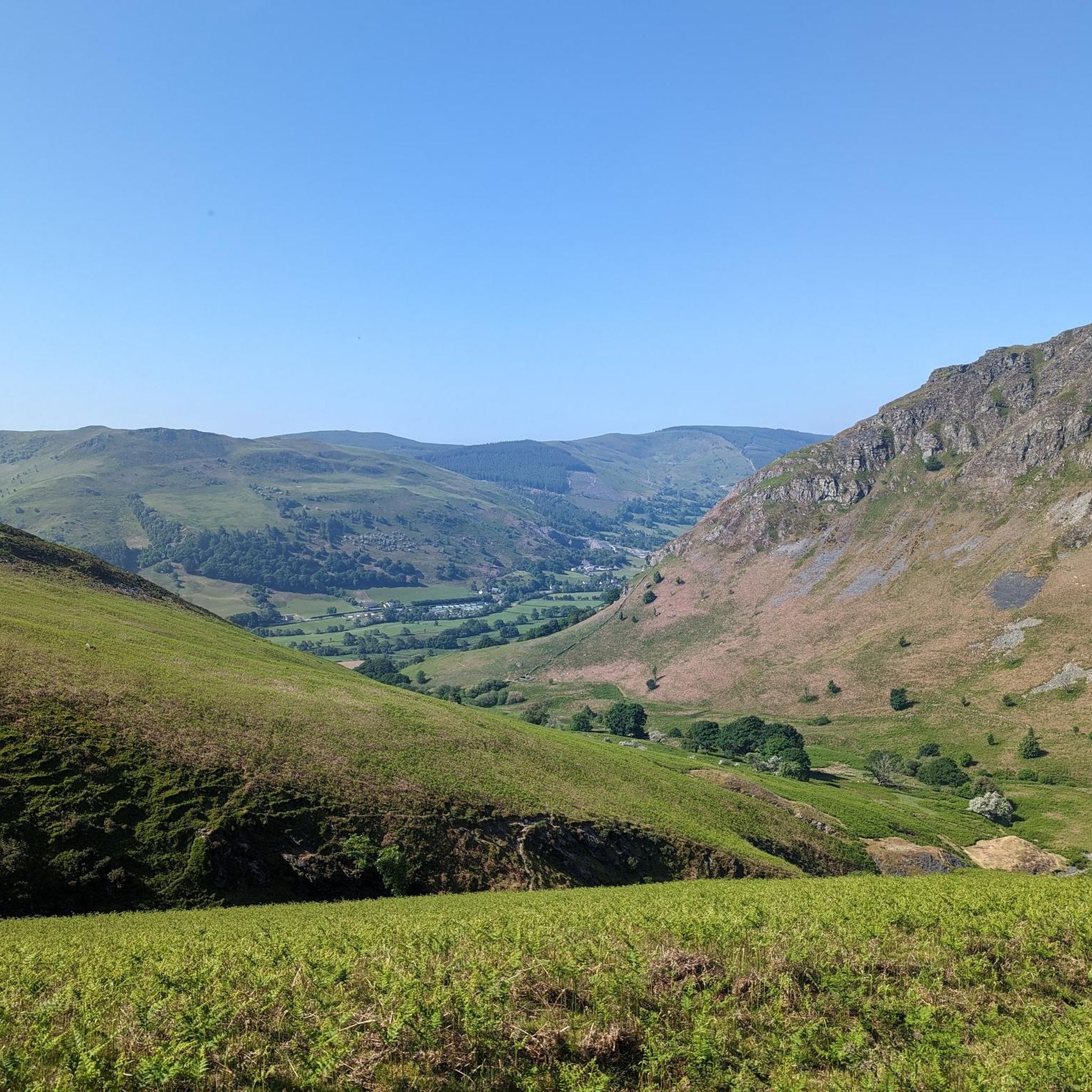
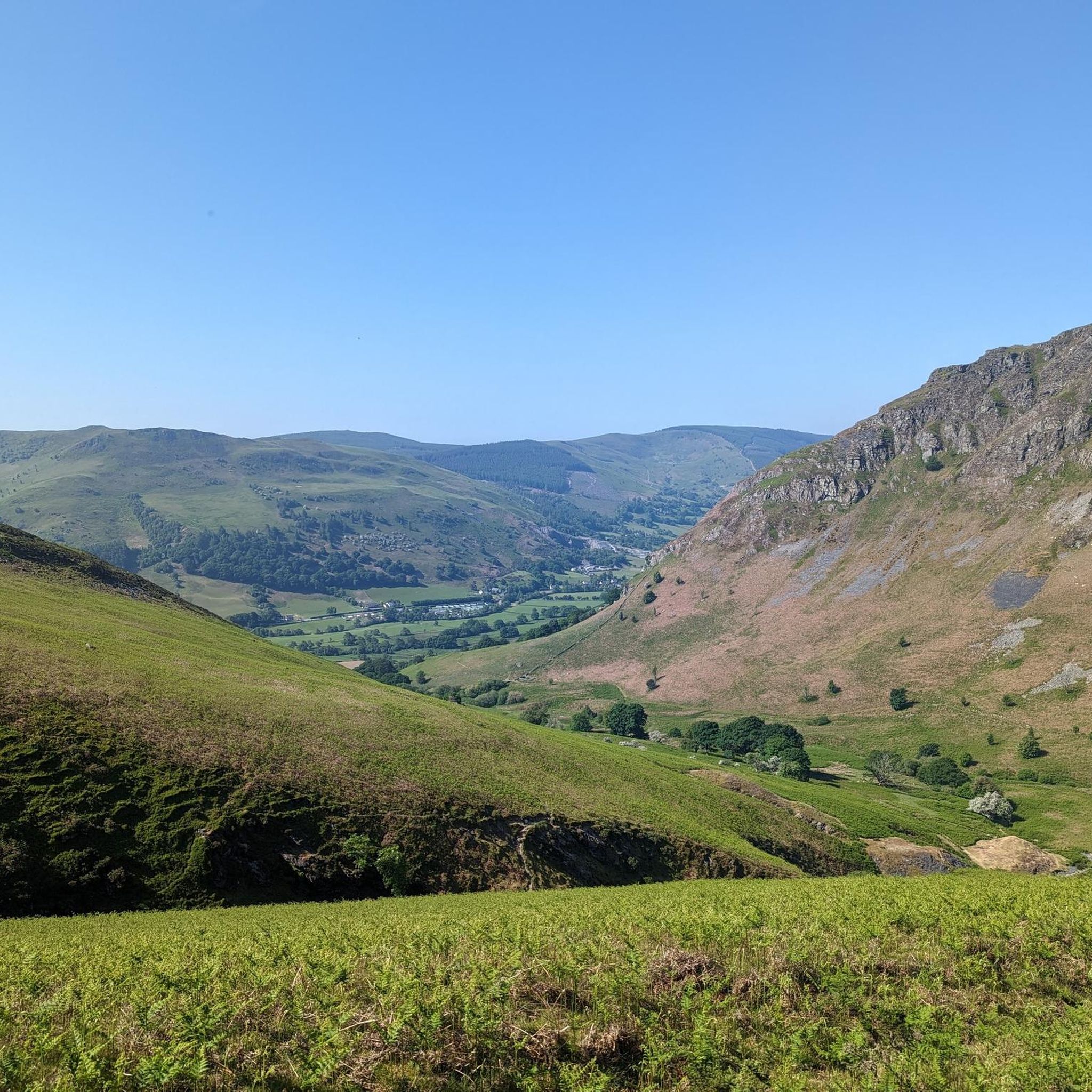
Hikes around Pen-y-bont-fawr explore the upper Tanat Valley and the surrounding Berwyn mountains. The region is characterized by rolling upland landscapes, steep-sided river valleys, and prominent natural features like the Pistyll Rhaeadr waterfall. The network of trails offers a mix of gentle riverside paths and more demanding routes with significant elevation gain into the mountains.
Best hiking trails around Pen-Y-Bont-Fawr
- The most popular hiking route is the Cadair Berwyn Summit – Pistyll Rhaeadr loop from Llangynog, a 11.7 mile…
Last updated: June 26, 2026
4.7
(13)
68
hikers
12.4km
04:19
640m
640m
Moderate hike. Good fitness required. Easily-accessible paths. Suitable for all skill levels.
4.7
(6)
29
hikers
18.8km
06:57
1,100m
1,100m
Hard hike. Very good fitness required. Mostly accessible paths. Sure-footedness required.

Sign up for free
5.0
(2)
29
hikers
13.5km
03:40
200m
200m
Moderate hike. Good fitness required. Easily-accessible paths. Suitable for all skill levels.
4.0
(1)
24
hikers
9.91km
02:35
70m
70m
Moderate hike. Good fitness required. Easily-accessible paths. Suitable for all skill levels.
4.5
(2)
14
hikers
4.20km
01:18
160m
160m
Easy hike. Great for any fitness level. Easily-accessible paths. Suitable for all skill levels.
Get access to more routes and recommendations from other explorers.
Sign up for free
Already have an account?
Our route recommendations are based on thousands of hikes, rides, and runs completed by other people on komoot.
Start today with a free account
Your next adventure awaits.
Login or Signup

Tips from the Community

Very difficult to get over - especially after the rain. Can’t easily cross.
0
0


Great place for a rest stop lovely views, can get busy
1
1
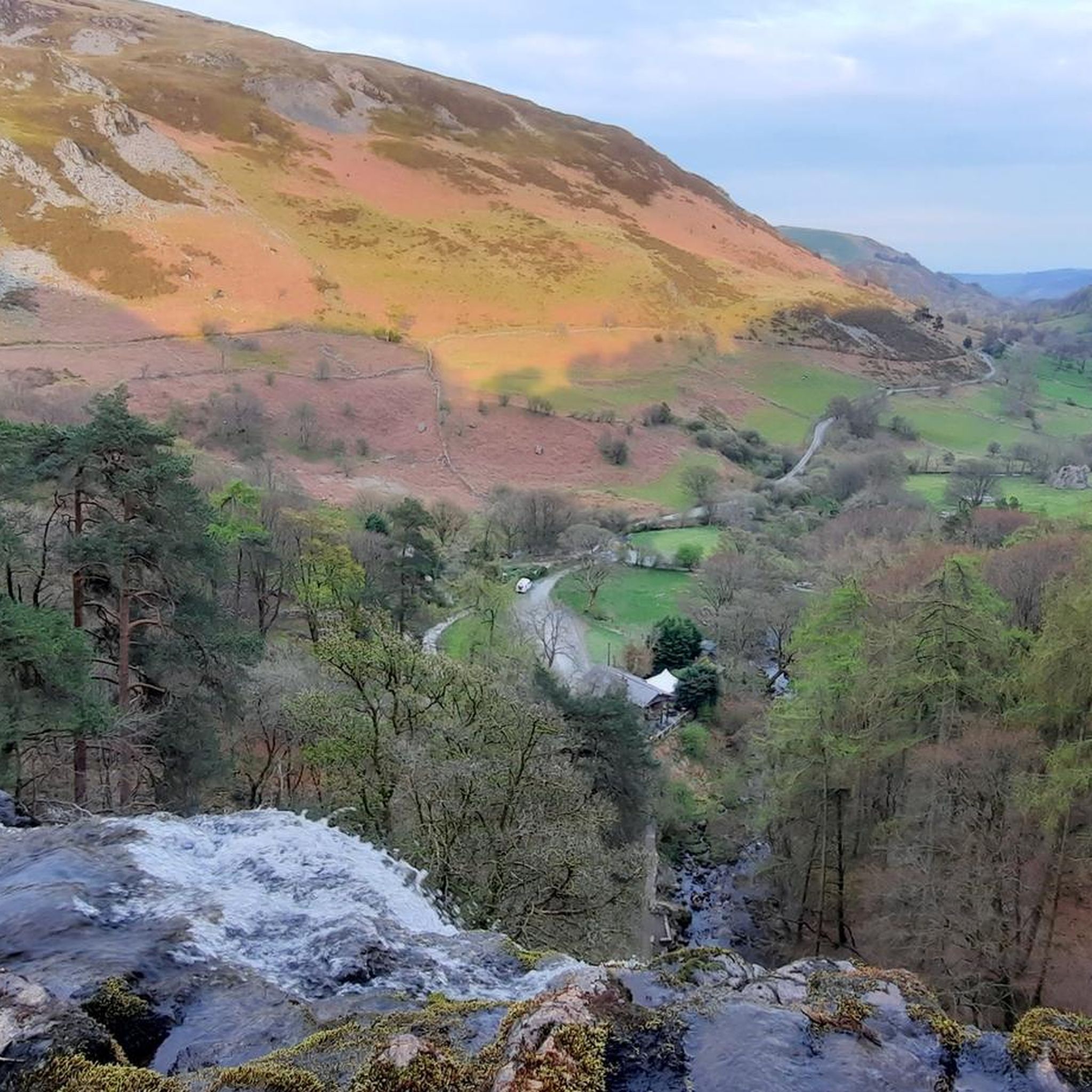
Fantastic views of the waterfall and various walks around this area
0
2
Frequently Asked Questions
Are there any easy, family-friendly walks in the Pen-Y-Bont-Fawr area?
Yes, the region offers several gentle options suitable for families. For a shorter outing, the Deep Cave loop from Llangynog is an easy 2.6-mile (4.2 km) walk that still provides a sense of the local landscape. The area around Lake Vyrnwy also features many accessible, well-maintained paths perfect for all ages, including the popular Giants of Vyrnwy Trail.
What are the best walks for seeing the Pistyll Rhaeadr waterfall?
To get a great view of the waterfall, you can take the The Cafe – Pistyll Rhaeadr loop from Llanrhaeadr-ym-Mochnant. This moderate trail takes you through the valley and offers fantastic perspectives of the falls. For those just wanting to see the waterfall without a long hike, there is a car park and a popular tearoom located right at its base.
Are there many circular walks starting near Pen-Y-Bont-Fawr?
The area is excellent for circular hikes, meaning you can start and end in the same place without retracing your steps. Many trails are designed this way, including challenging mountain circuits and more gentle valley loops. A great example is the St Melangell's Church loop from Llangynog, a moderate 6-mile (9.6 km) route that explores the area's history and scenery.
Can I take my dog on the trails around Pen-Y-Bont-Fawr?
Dogs are welcome on most public footpaths in the area, but be aware that you will be walking through farmland with livestock. It is essential to keep your dog on a lead, especially during lambing season (typically spring). The Berwyn mountains offer wide-open spaces, but always be mindful of ground-nesting birds and follow local signage.
What is the most challenging hike in the region?
For experienced hikers seeking a challenge, the trek to the summit of Cadair Berwyn is the most demanding. The Cadair Berwyn Summit – Pistyll Rhaeadr loop from Llangynog is a difficult 11.7-mile (18.8 km) route with over 1,000 meters of elevation gain, rewarding you with panoramic views from the highest point in the Berwyn Range.
Where can I park for hikes in the area?
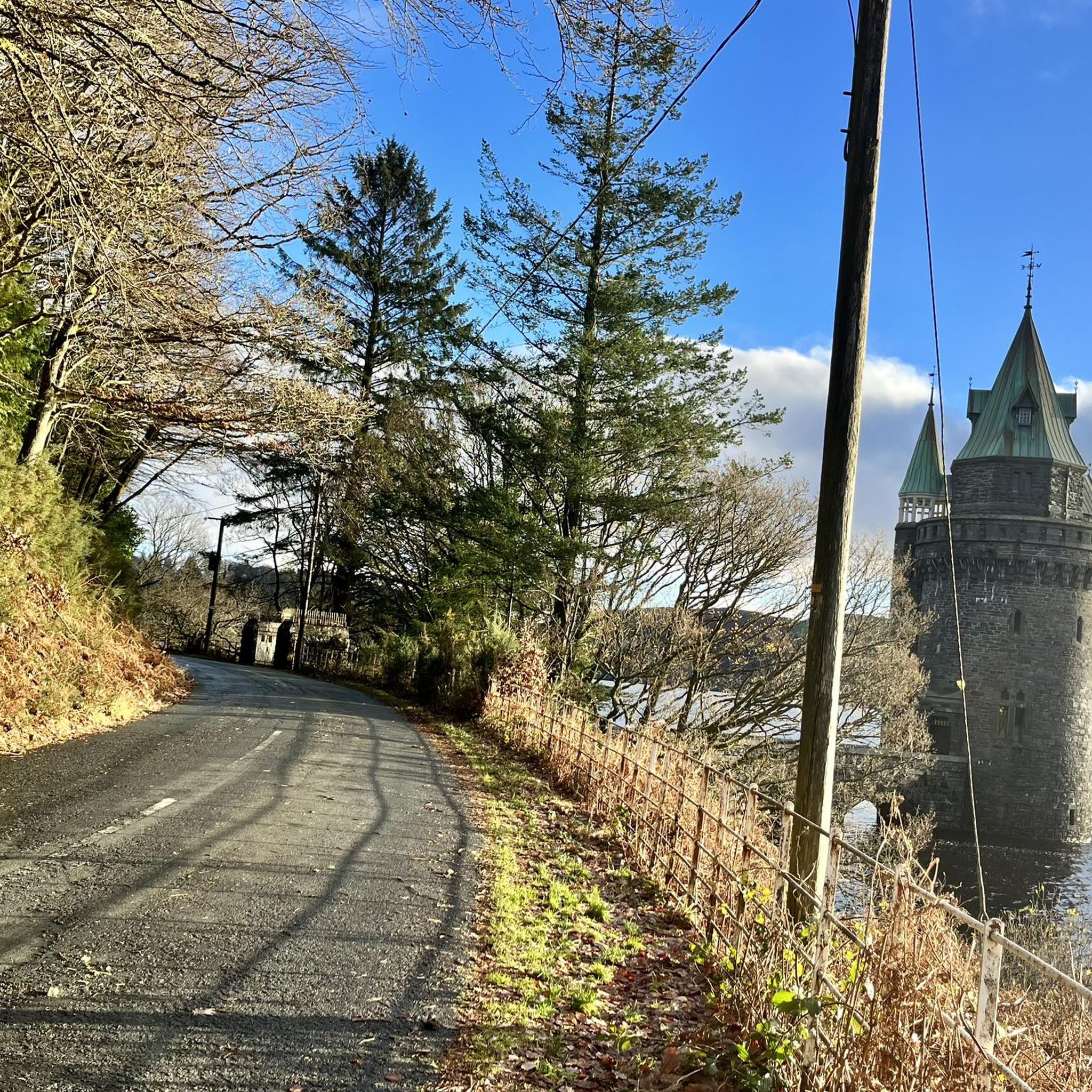
Parking availability varies by trail. For hikes starting in villages like Llangynog or Pen-Y-Bont-Fawr, there is usually on-street parking, but please park considerately. For popular attractions like Pistyll Rhaeadr, there is a dedicated pay-and-display car park. Many walks around Lake Vyrnwy also start from designated car parks.
Are there any pubs or cafes to visit after a hike?
Yes, the villages in the Tanat Valley offer welcoming spots to relax. Pen-Y-Bont-Fawr has a local pub, and nearby Llanrhaeadr-ym-Mochnant also has options. For a unique experience, the highly-regarded tearoom at the base of the Pistyll Rhaeadr waterfall is a popular choice for a post-hike refreshment.
What kind of scenery can I expect on a hike around Pen-Y-Bont-Fawr?
The landscape is defined by the rolling, heather-clad hills of the Berwyn mountains, which offer a sense of solitude and wildness. You'll also find steep-sided river valleys, dense woodlands, and dramatic natural features. The region's most famous landmark is Pistyll Rhaeadr, one of the UK's tallest single-drop waterfalls.
How many hiking trails are available around Pen-Y-Bont-Fawr?
There are over 60 curated hiking routes to explore in the Pen-Y-Bont-Fawr area. These range from 25 easy walks suitable for a casual afternoon to over a dozen difficult mountain treks for seasoned hikers, ensuring there's a trail for every fitness level.
What do other hikers say about the trails in Pen-Y-Bont-Fawr?
The area is highly rated by the komoot community. Hikers often praise the stunning views across the Berwyns, the tranquility of the trails compared to busier parks, and the mix of challenging ascents and gentle valley walks. The routes featuring the Pistyll Rhaeadr waterfall are particularly popular.
Can I get to the trailheads using public transport?
Public transport options are limited in this rural part of Wales. Bus services connect some of the larger villages, but they can be infrequent. Reaching most trailheads, especially those in more remote parts of the Berwyn mountains or at Lake Vyrnwy, is most conveniently done by car.
Most popular attractions around Pen-Y-Bont-Fawr

Get inspired with the komoot mobile app


Explore more
Browse the best Hikes in other regions.
