The best gravel rides around Lowick
4.8
(44)
355
riders
12
rides
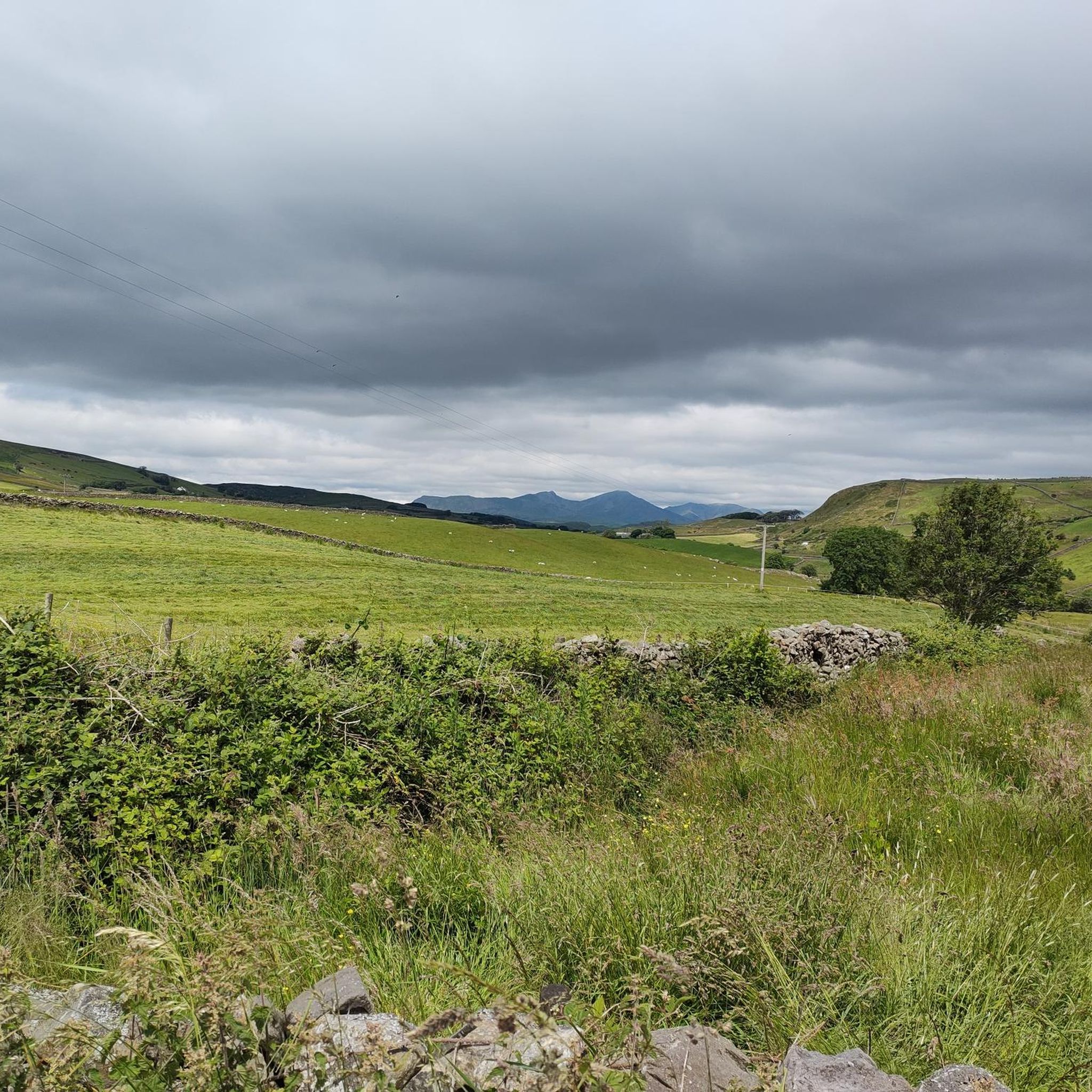
Gravel biking around Lowick offers a diverse landscape for riders, characterized by varied terrain suitable for off-road cycling. The region features a mix of rolling hills, woodlands, and open paths, providing both challenging climbs and scenic stretches. Riders can expect routes that navigate through rural settings, often with significant elevation changes. This area is well-suited for those seeking a robust gravel biking experience.
Best gravel bike trails around Lowick
- The most popular gravel bike trail is Elterwater Cycling Routes –…
Last updated: October 6, 2026
4.8
(19)
123
riders
47.8km
03:07
800m
800m
Hard gravel ride. Very good fitness required. Mostly paved surfaces. Suitable for all skill levels.
4.8
(14)
112
riders
30.7km
02:03
500m
500m
Hard gravel ride. Very good fitness required. Mostly paved surfaces. Suitable for all skill levels.

5.0
(3)
66
riders
52.9km
03:27
910m
910m
Hard gravel ride. Very good fitness required. You may need to push your bike for some segments of this route.
4.5
(4)
10
riders
18.1km
01:20
300m
300m
Hard gravel ride. Good fitness required. You may need to push your bike for some segments of this route.
10
riders
44.7km
02:48
650m
650m
Hard gravel ride. Very good fitness required. Mostly paved surfaces. Suitable for all skill levels.
Get access to more routes and recommendations from other explorers.
Already have an account?
Our route recommendations are based on thousands of hikes, rides, and runs completed by other people on komoot.
Start today with a free account
Your next adventure awaits.
Tips from the Community

Coniston is located at the northern end of the third largest lake in the Lake District: Coniston Water. Steam yacht cruises are offered on this lake. Coniston is said to be derived from the Old Norse words Konigs Tun or king's settlement. That king is said to have been Thorstein, a Viking who gave his name to Thurstinii Watra, the old name of Coniston Water. (Wikipedia)
5
0
Little Langdale Tarn lies at the foot of the Wrynose Pass and although there is no public access, it is easily visible from the road or from the public bridleway along the southern shore. (Visit Cumbria)
9
0
In Elterwater and its surroundings, it is good for cycling. There are cycle routes through the village, including to Ambleside and Coniston.
9
0
Blea Tarn, a small mountain lake in a valley between Little Langdale and Great Langdale, offers a wide variety of photographic opportunities.
7
0

Stunning area to cycle in, can get very busy in high season though
0
0

There is a cafe about 1m down the track. This would add two miles to any walk!
0
0
Large car park - which can be paid for with card. You will need your card.
0
0

It’s a hard ride up if you’re not used to it, but it’s worth it to THUNDER down the other side 👍🤣
0
0
Frequently Asked Questions
How many gravel bike trails are there in Lowick?
Lowick offers a robust selection of 16 gravel bike trails. These routes cater to various skill levels, with 3 moderate and 13 difficult options available for exploration.
What kind of terrain can I expect on Lowick's gravel bike trails?
The terrain around Lowick is diverse, featuring a mix of rolling hills, woodlands, and open paths. You'll encounter varied surfaces and significant elevation changes, providing a challenging and scenic gravel biking experience.
What are the difficulty levels of gravel bike trails in Lowick?
Lowick's gravel bike trails are primarily geared towards experienced riders, with 13 routes classified as difficult. There are also 3 moderate trails available for those seeking a slightly less strenuous ride.
What do other gravel bikers enjoy most about Lowick?
The komoot community highly rates gravel biking in Lowick, with an average score of 4.7 stars from over 36 reviews. Riders often praise the varied terrain, expansive views, and the challenging nature of the routes.
Are there any circular gravel bike routes in Lowick?
Yes, many of the gravel bike routes in Lowick are circular. For example, the View of Lake Windermere – Wray Castle loop from Staveley-in-Cartmel is a great option, offering a scenic circular ride.
What can I see along the gravel bike trails in Lowick?
Many routes offer stunning natural sights. You can find viewpoints like Gummer's How and Carron Crag, or enjoy views of Coniston Water and Lake Windermere on various trails.
Are there any longer gravel bike routes in Lowick with significant elevation?
Absolutely. For a longer ride with substantial climbing, consider the Coniston Village – View of Little Langdale Tarn loop from Satterthwaite. This difficult route spans 32.5 miles (52.3 km) and features nearly 900 meters of elevation gain.
Where can I find parking for gravel biking in Lowick?
Many routes start from areas like Satterthwaite, which typically offer parking facilities. For specific trailheads and parking information, it's best to check the individual route details on komoot before you set off.
Are there any cafe stops or pubs near Lowick's gravel routes?
While specific cafe stops are not detailed for every route, the region around Lowick, including nearby villages like Cartmel, often has local pubs and cafes where you can refuel. The Cartmel Village and Stream is a charming spot to explore.
What is the best time of year for gravel biking in Lowick?
The varied terrain of Lowick can be enjoyed throughout much of the year. Spring and autumn often offer pleasant temperatures and vibrant scenery. During winter, conditions can be more challenging due to potential mud or ice, so checking local weather and trail conditions is advisable.
Are there family-friendly gravel bike routes in Lowick?
While many routes are rated difficult, some sections or shorter loops might be suitable for families with older, more experienced children. For example, the Grizedale Tarn – Grizedale Car Park loop from Satterthwaite is a shorter, albeit still difficult, option that could be considered for adventurous families.
Can I find any less-known or 'hidden gem' gravel trails in Lowick?
Lowick's network of trails offers many opportunities to discover quieter paths. While specific 'hidden gems' aren't explicitly named, exploring the less-trafficked routes on komoot, beyond the most popular ones, can lead you to serene and beautiful areas.
Most popular attractions around Lowick

Get inspired with the komoot mobile app


Explore more
Browse the best Gravel rides in other regions.
