The best gravel rides in Heinrichsthaler Forst
4.7
(39)
216
riders
65
rides
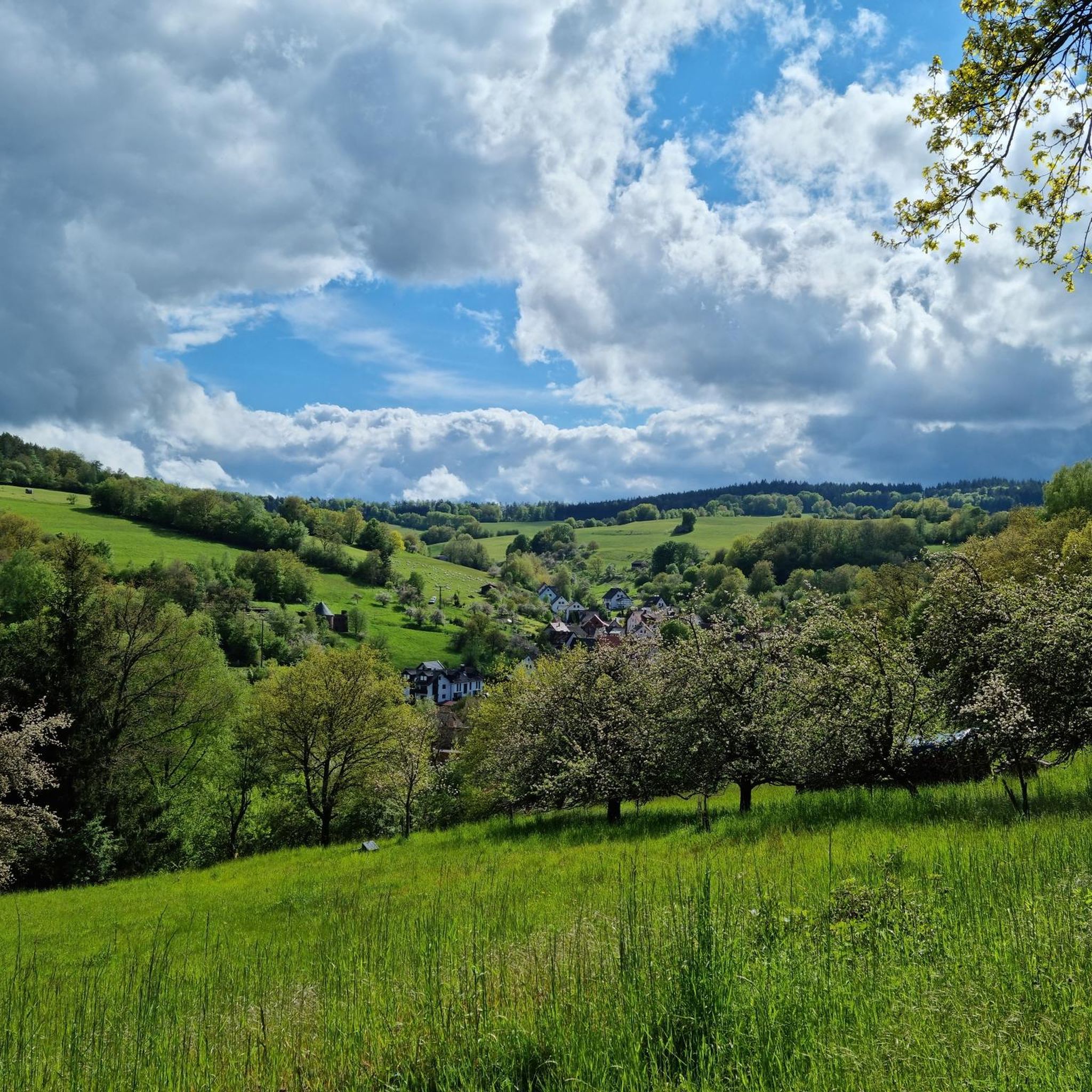
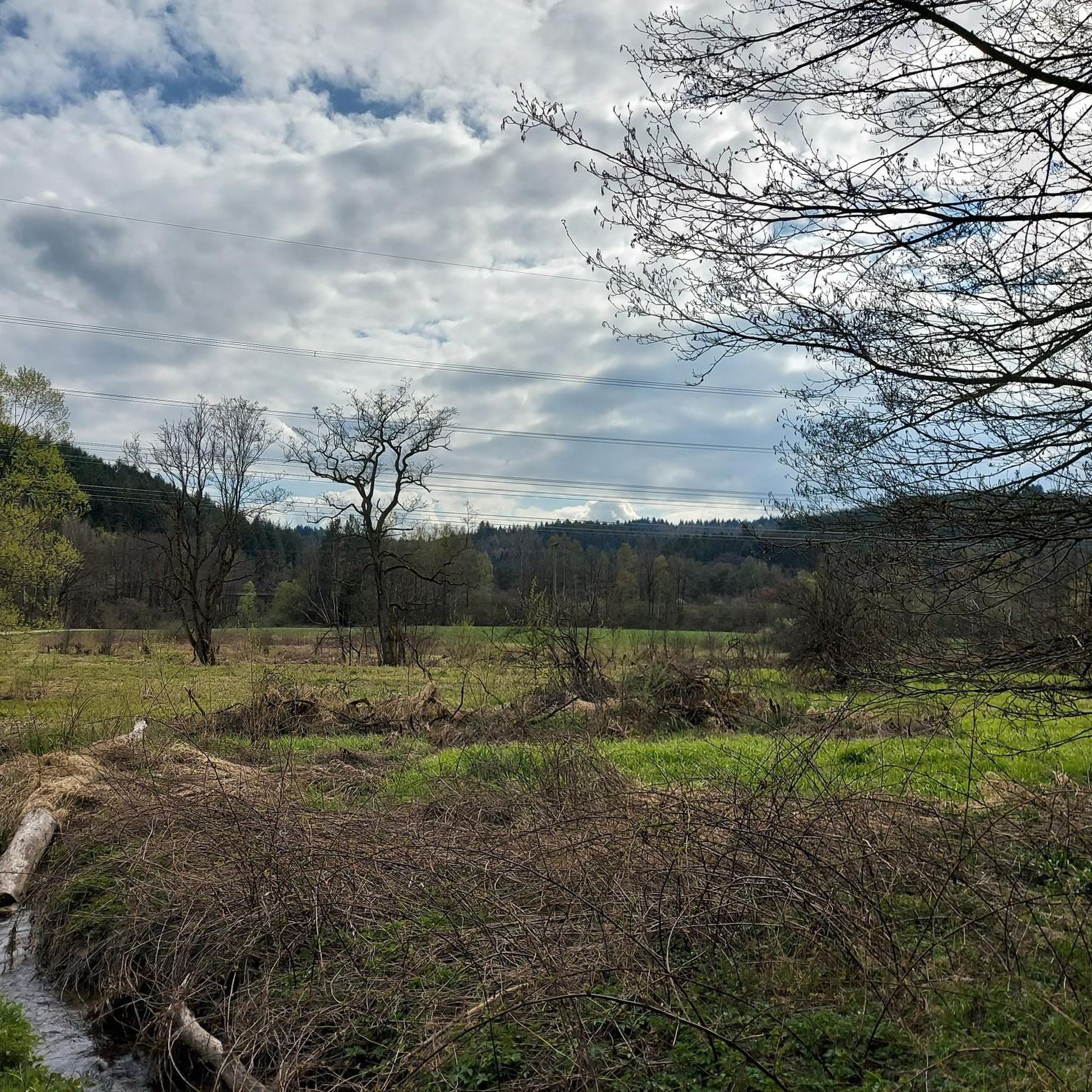
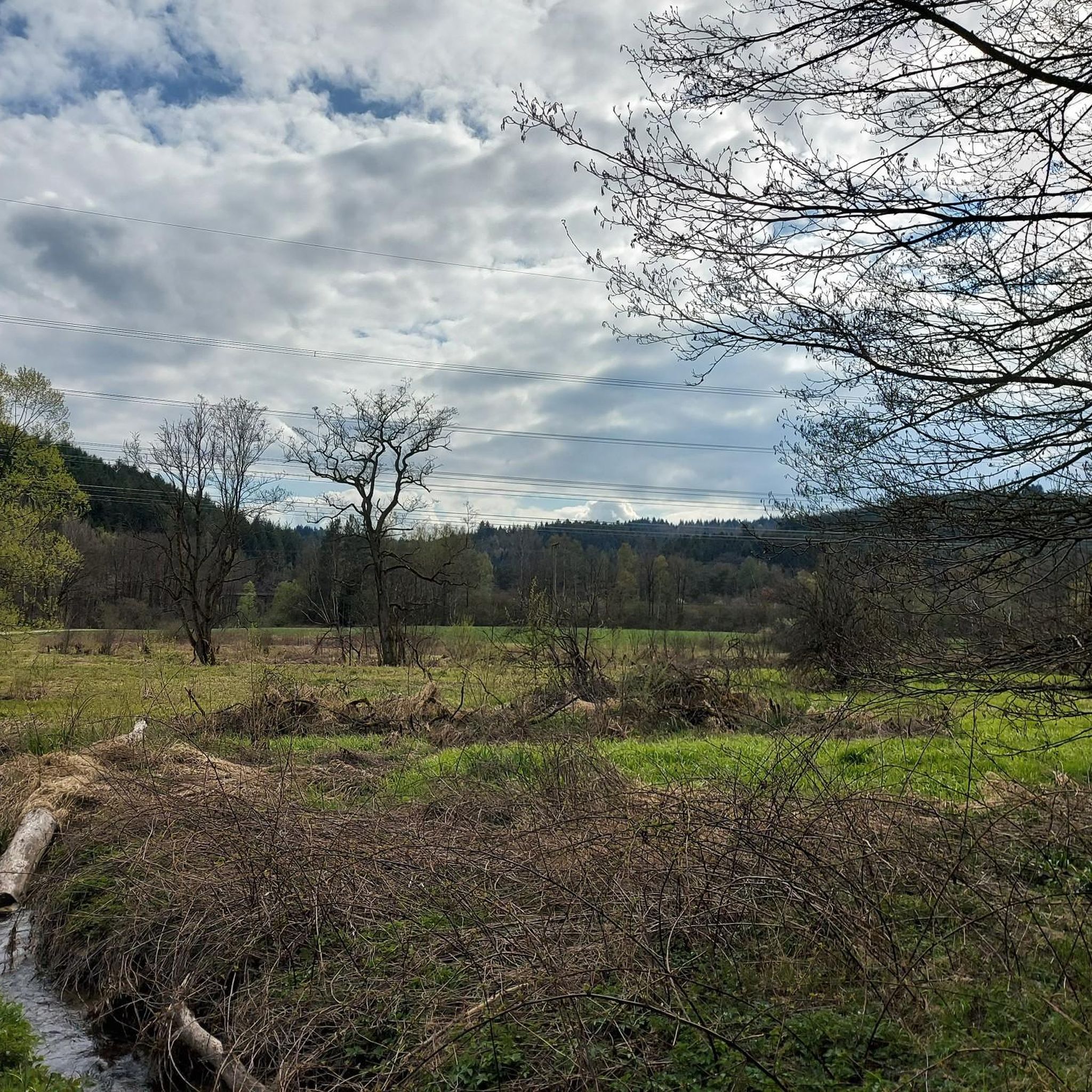
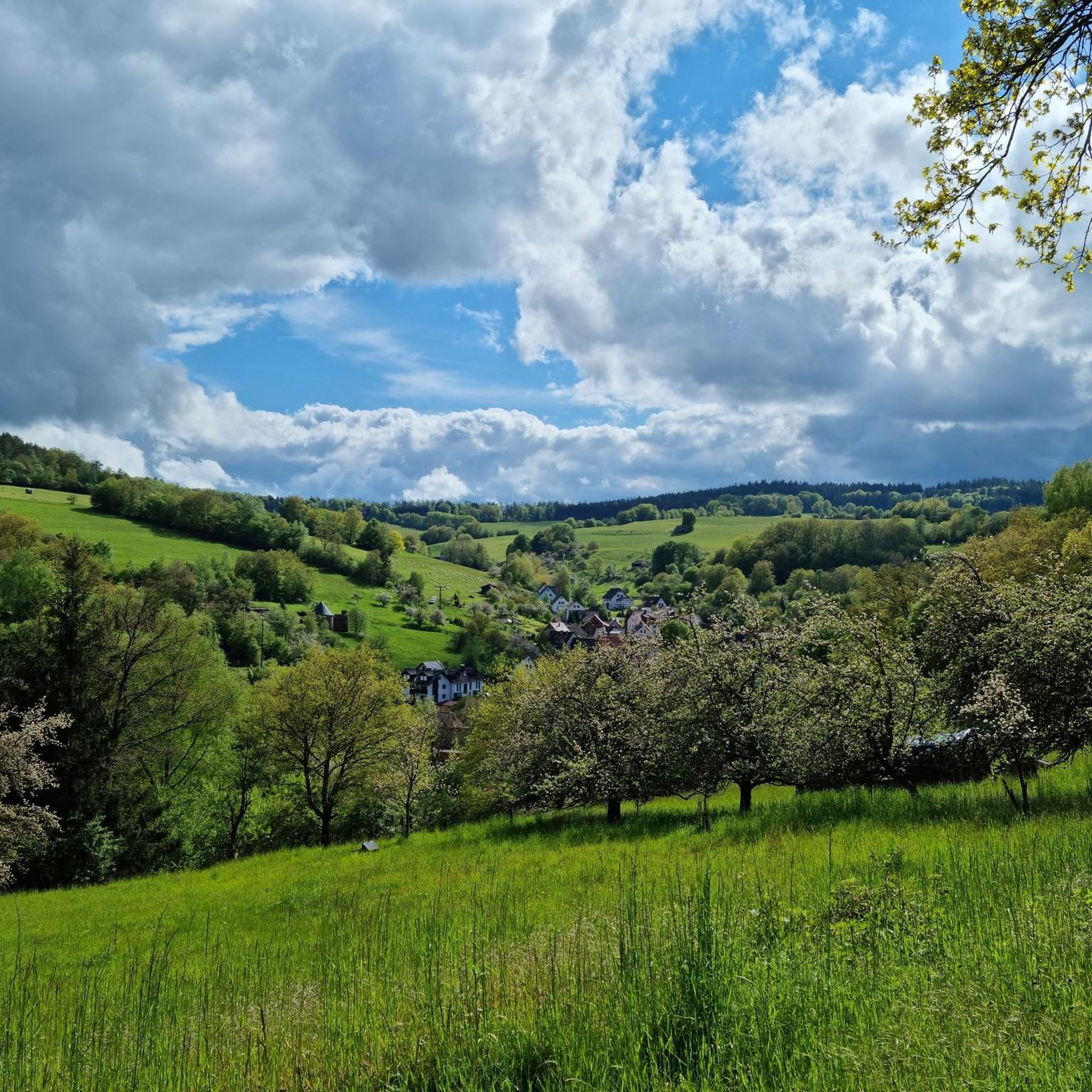
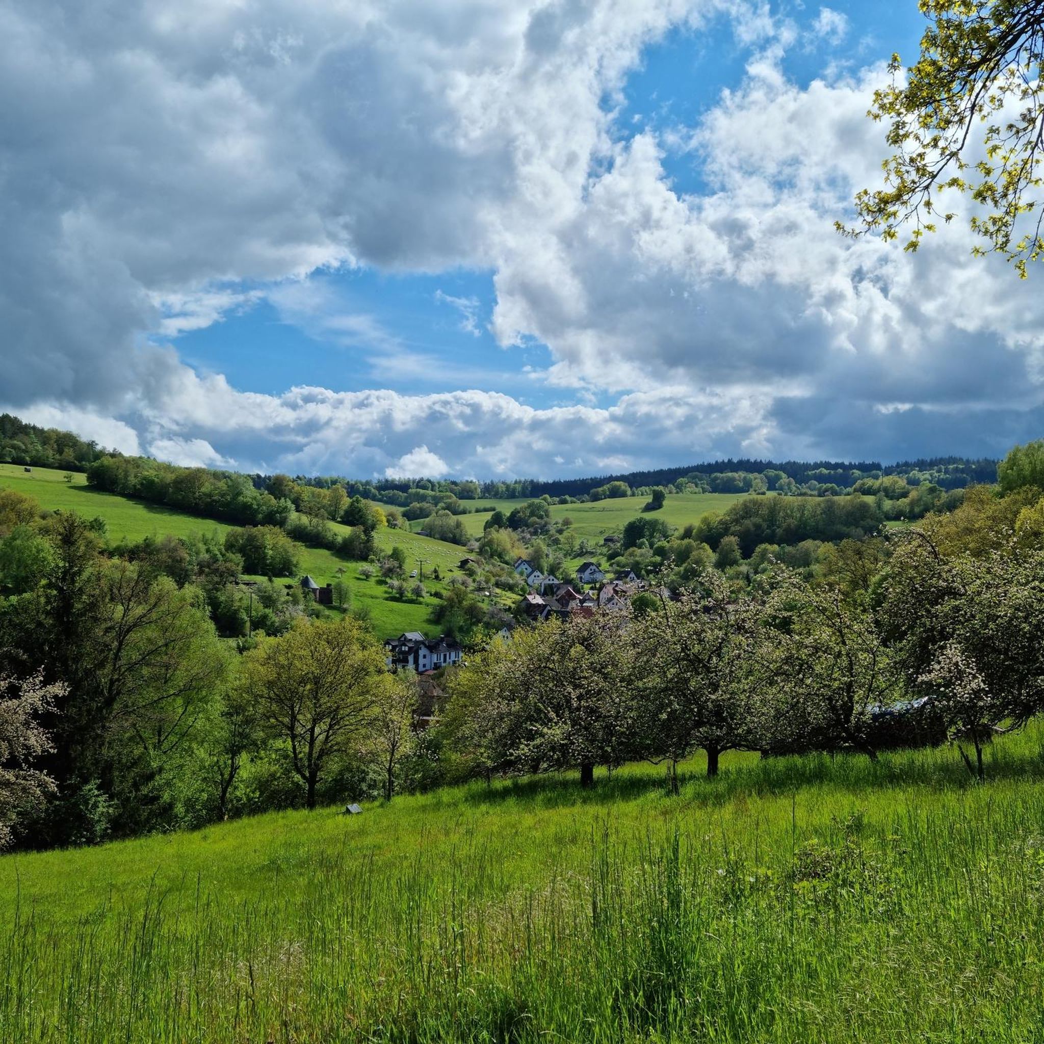
Gravel biking in Heinrichsthaler Forst is characterized by its dense, mixed forests and varied topography. The region features rolling hills and steep valleys, with elevations ranging from 243 meters in the Lohrbach valley to 520 meters at the Spindelberg. Many routes include unpaved segments that contribute to a dynamic gravel biking experience.
Best gravel bike trails in Heinrichsthaler Forst
- The most popular gravel bike trail is Ruhm Mill, Wiesthal – Aubach Valley loop from Wiesthal, a 29.8 miles (47.9 km) difficult trail that takes about 3 hours 43 minutes to complete. This route navigates through the forested landscape and varied terrain of the Spessart.
- Another top favourite among local gravel bikers is Forsthaus Aurora – Neustädter Tor Crossroads loop from Wiesthal, a difficult 26.4 miles (42.5 km) path. It offers significant elevation changes and views of the surrounding natural environment.
- Local gravel bikers also love the View of Lohr am Main – Kneipp basin in the Aubach loop from Neuhütten, a 20.3 miles (32.6 km) trail leading through varied forest and valley landscapes, often completed in about 2 hours 20 minutes.
- Gravel biking in Heinrichsthaler Forst is defined by dense, mixed forests, rolling hills, and steep valleys. The network offers options for different ability levels, from easier excursions to more challenging rides.
- The routes in Heinrichsthaler Forst are highly rated by the komoot community with an average score of 4.4 stars from over 50 reviews. More than 350 gravel bikers have used komoot to explore Heinrichsthaler Forst's varied terrain.
Last updated: June 29, 2026
4.3
(7)
12
riders
40.6km
02:23
360m
360m
Hard gravel ride. Good fitness required. You may need to push your bike for some segments of this route.
7
riders
Hard gravel ride. Very good fitness required. Mostly paved surfaces. Suitable for all skill levels.

Sign up for free
5.0
(1)
7
riders
Hard gravel ride. Very good fitness required. You may need to push your bike for some segments of this route.
4.8
(5)
15
riders
Hard gravel ride. Very good fitness required. Mostly paved surfaces. Suitable for all skill levels.
5.0
(2)
9
riders
Hard gravel ride. Very good fitness required. Mostly paved surfaces. Suitable for all skill levels.
Get access to more routes and recommendations from other explorers.
Sign up for free
Already have an account?
Our route recommendations are based on thousands of hikes, rides, and runs completed by other people on komoot.
Start today with a free account
Your next adventure awaits.
Login or Signup

Other adventures in Heinrichsthaler Forst

Tips from the Community

Large wetland, where water buffalo will soon be grazing.
0
0


Beautiful water treading facility in Kleinkahl
0
0
Here is a small village square.
0
0

Especially in the height of summer, it is very pleasant and refreshing to stop here for a rest.
1
0
In winter, it's a good place to drive up to the Englishman's.
0
0

Heinrichsthal is a municipality in the Lower Franconian district of Aschaffenburg and a member of the Heigenbrücken administrative community. It is the highest municipality in the entire Spessart and the smallest municipality in the Aschaffenburg district. The municipality is located in the Bavarian Lower Main region at the upper end of the Lohrbach Valley. The highest point in the municipality is the peak of Schindershöh at 522 m above sea level (location), and the lowest is at the Lohrbach stream near Unterlohrgrund at 313 m above sea level (location). The Kahltal-Spessart cycle path runs through the village. In 1636, the name of the master of a glassworks located in this region first appeared: Heinrich Fleckenstein of the glassworks in Wollersbuch. Another master glassworks owner, Jacob Fleckenstein, is also mentioned in 1639. In 1647, Heinrich Fleckenstein's glassworks was located in the Lohrgrund, but it burned down for less than 34 weeks. An account book from 1652 reveals that Heinrich and Jacob were brothers. In 1664, the two place names "Heinrichs grundt and Jacobs thael" first appeared as location designations. The latter became the present-day village of Jakobsthal. A new stage in the village's history began in 1678, when Heinrichsthal was first mentioned as a village. The first taxes had to be paid for seven houses and ten head of cattle. Heinrich Fleckenstein's initials were incorporated into the Heinrichsthal coat of arms. Source: Wikipedia
1
0
The History Systematic meadow irrigation to increase hay and forage yields has been documented in the Spessart since 1453 and was still widespread in the stream valleys until the mid-20th century. The first mention of dam irrigation on the Wöhrde can be found in a document from 1663. Source: Information board at the site
1
0
Frequently Asked Questions
How many gravel bike trails are available in Heinrichsthaler Forst?
Heinrichsthaler Forst offers nearly 90 gravel biking routes. These range from easy excursions suitable for beginners to more challenging rides for experienced cyclists, ensuring a diverse experience for all skill levels.
What is the general terrain like for gravel biking in Heinrichsthaler Forst?
The terrain in Heinrichsthaler Forst is characterized by dense, mixed forests, rolling hills, and steep valleys. You'll encounter significant elevation changes, with the highest point at Spindelberg (520 meters) and the lowest in the Lohrbach valley (243 meters). Many routes include unpaved segments, providing a true gravel biking experience.
Are there any easy gravel bike trails for beginners or families?
While many routes are rated difficult, there are a few easier options available. The komoot community has identified 2 easy routes and 23 moderate routes, which can be a good starting point for beginners or families looking for a less strenuous ride. These routes often navigate through the varied forest and valley landscapes.
What kind of natural features or landmarks can I expect to see along the trails?
Heinrichsthaler Forst is rich in natural beauty and points of interest. You can explore areas like the Spessartwiesen Nature Reserve, the scenic Aubachtal Valley, and the tranquil Marian Grotto in the Bächlesgrund. The Bächlesgrund Nature Trail also offers insights into the local flora and fauna.
What do other gravel bikers enjoy most about Heinrichsthaler Forst?
The komoot community highly rates gravel biking in Heinrichsthaler Forst, with an average score of 4.4 stars from over 50 reviews. Riders frequently praise the diverse forested landscapes, the challenging yet rewarding elevation changes, and the well-maintained network of trails that cater to various skill levels.
Are there any longer gravel routes for experienced riders seeking a challenge?
Yes, Heinrichsthaler Forst offers several challenging routes for experienced riders. For instance, the View of Frammersbach – Wetland in the Spessart Nature Park loop from Heinrichsthal is a difficult 57 km route with significant elevation changes, perfect for a longer, demanding ride.
Can I find circular gravel bike routes in the area?
Many of the gravel bike routes in Heinrichsthaler Forst are designed as loops, allowing you to start and end at the same point. An example is the Heinrichsthal Telecommunications Tower – Forest Inn "Zum Engländer" loop from Heinrichsthal, which covers approximately 46 km.
Are there places to eat or rest near the gravel trails?
Yes, you can find options for refreshments and rest. The Fischereihütte Inn Beer Garden and the Habichsthal Fisherman's Hut are popular spots where you can take a break and enjoy a meal or a drink after your ride.
What is the best time of year to go gravel biking in Heinrichsthaler Forst?
The dense forests of Heinrichsthaler Forst offer pleasant riding conditions through much of the year. Spring and autumn provide vibrant colors and comfortable temperatures, while summer offers lush greenery. Winter riding is possible, but some unpaved segments might be more challenging due to weather conditions.
Are there any specific attractions or cultural sites along the routes?
Beyond natural beauty, the region features points of interest such as the Habichsthal Village Mill, which offers a glimpse into local heritage. The Patrona Bavariae Schutzhütte, mentioned in regional research, also serves as a cultural and natural monument, providing a place for reflection.
What is the typical difficulty level of gravel bike trails in Heinrichsthaler Forst?
The majority of gravel bike trails in Heinrichsthaler Forst are rated as difficult, with 63 out of 88 routes falling into this category. These trails often feature significant elevation changes and unpaved sections that require good fitness and technical skill. However, there are also moderate and easy options available.
Most popular routes in Heinrichsthaler Forst
Most popular attractions in Heinrichsthaler Forst

Get inspired with the komoot mobile app


Explore more
Browse the best Gravel rides in other regions.
