The best walks and hikes in Heinrichsthaler Forst
4.6
(6696)
23,483
hikers
20
hikes
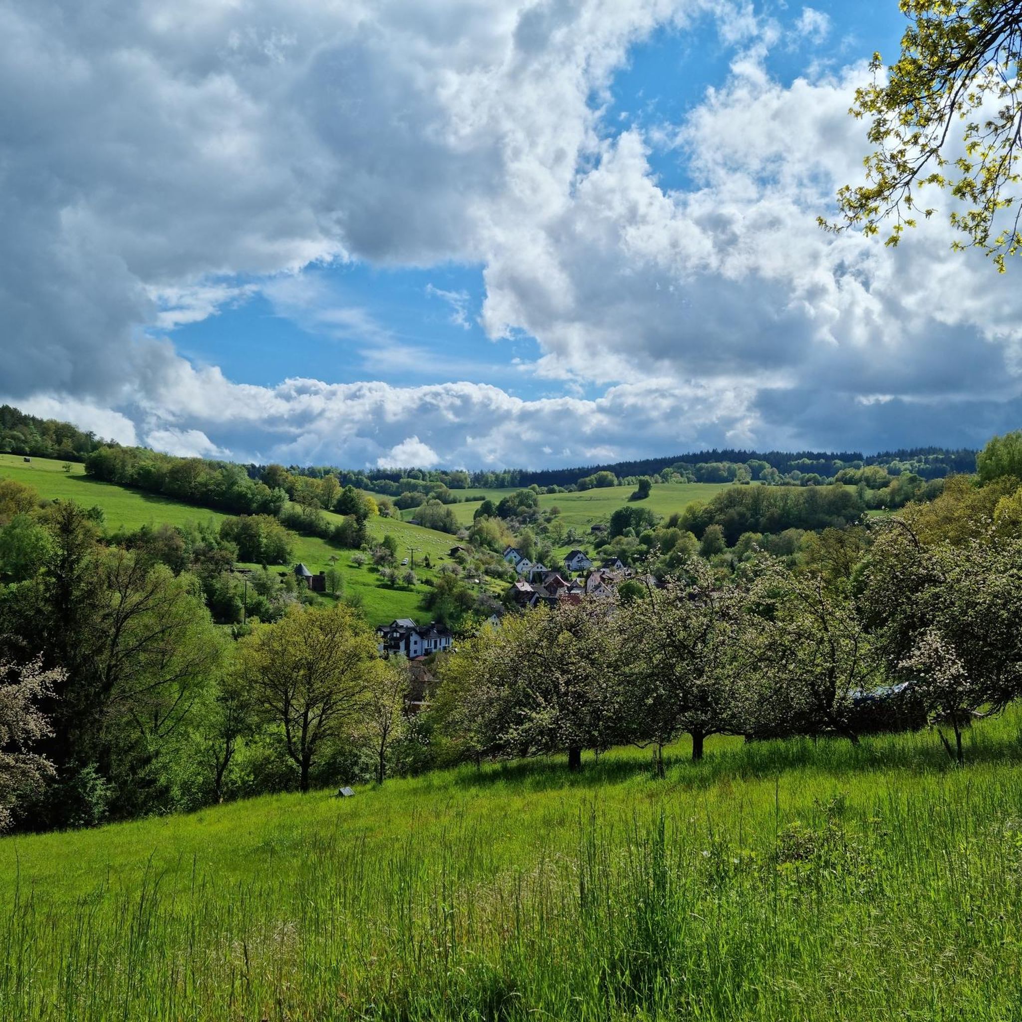
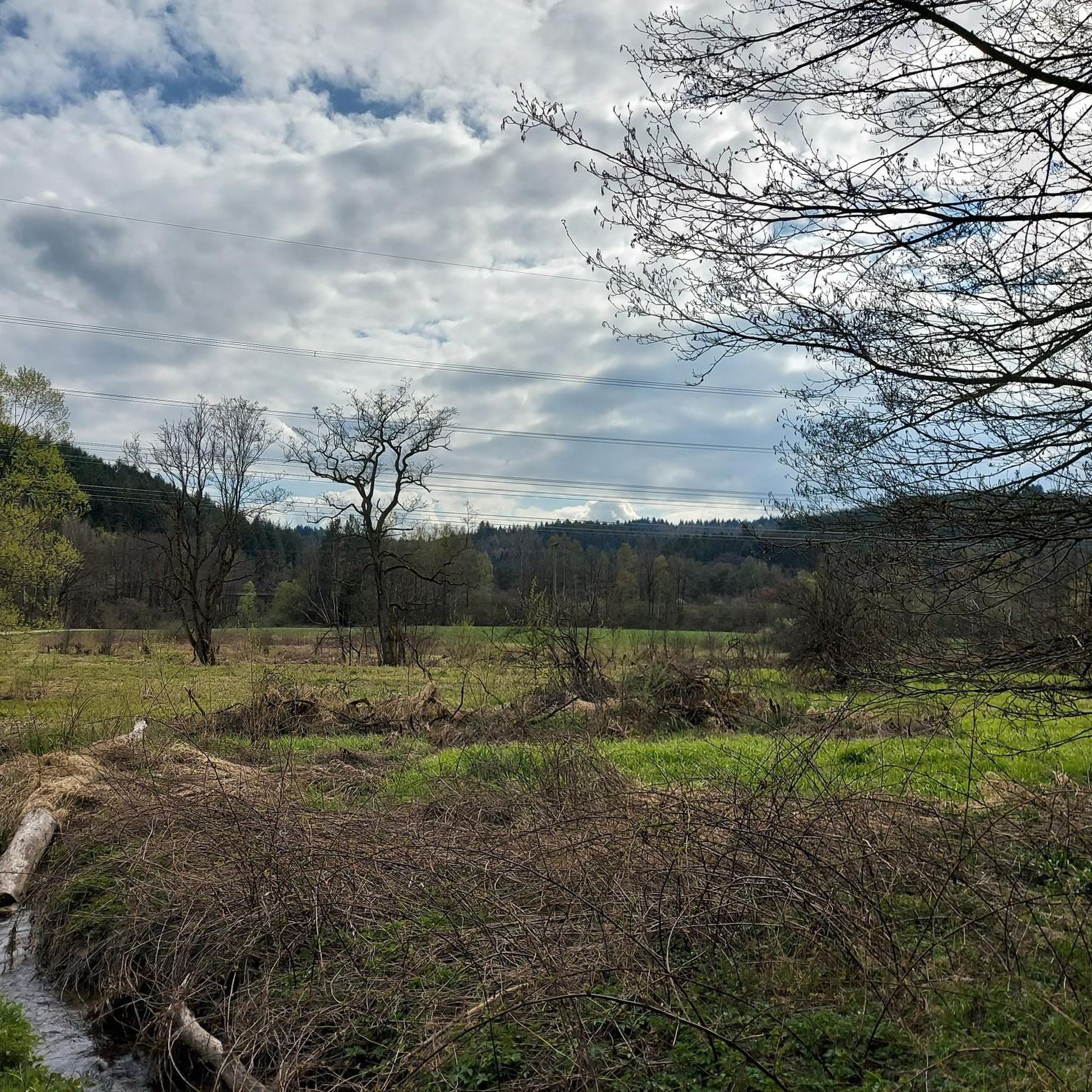
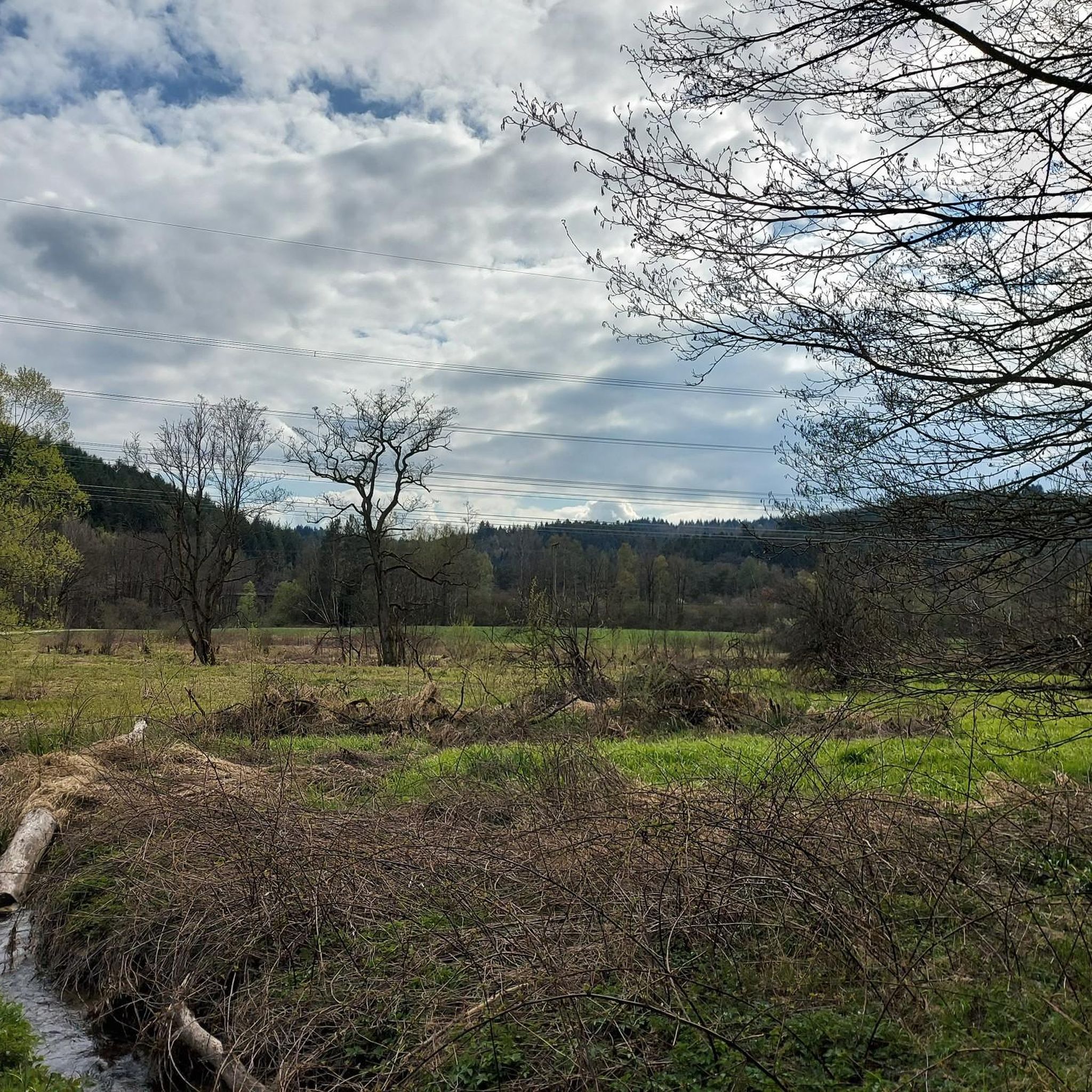
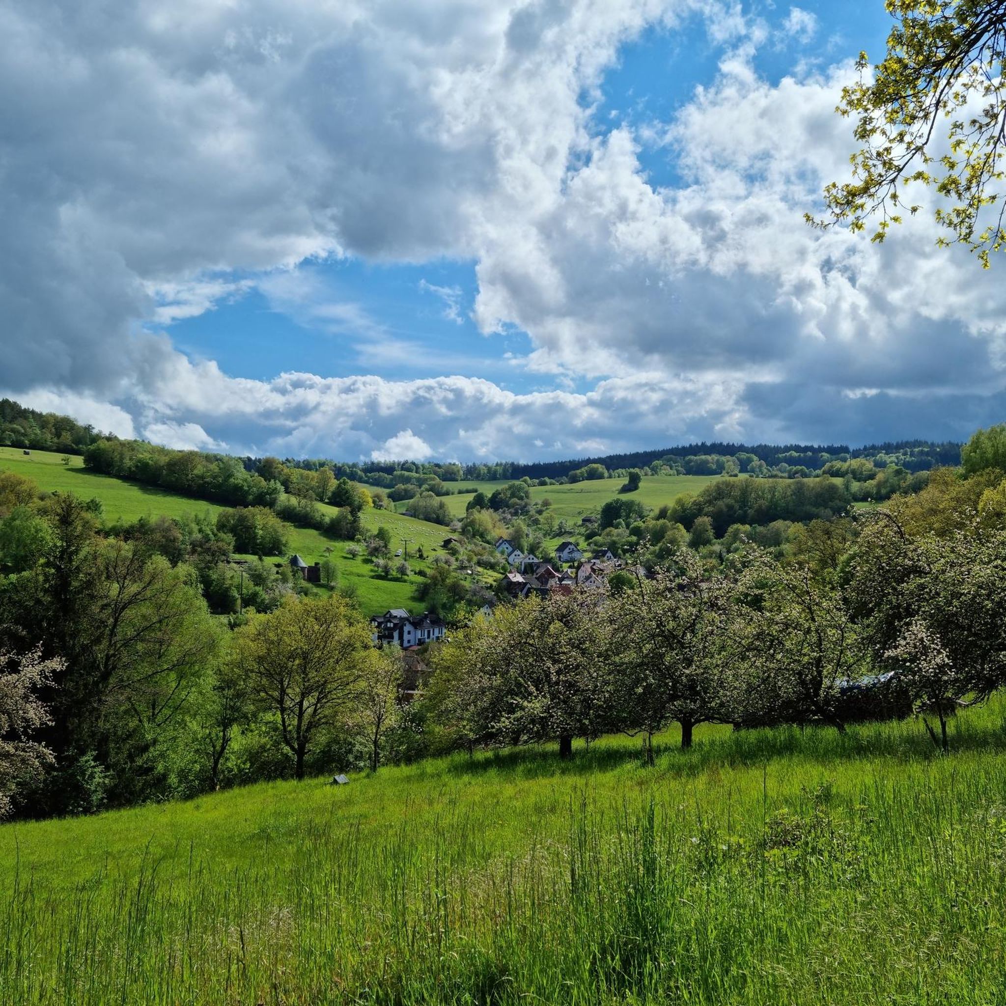
Hiking in Heinrichsthaler Forst offers immersion in a completely forested region within the Bavarian Spessart. This area is characterized by dense woodlands and varied topography, with elevations ranging from 243 meters in the Lohrbach valley to 520 meters at the Spindelberg. Part of the Spessart Nature Park, it includes sections of the Naturschutzgebiet Spessartwiesen, providing diverse natural habitats for exploration. The landscape features extensive forest trails and natural attractions suitable for outdoor activities.
Best hiking trails in Heinrichsthaler Forst
- The…
Last updated: July 1, 2026
4.6
(8)
28
hikers
5.85km
01:36
90m
90m
Easy hike. Great for any fitness level. Easily-accessible paths. Suitable for all skill levels.
4.9
(10)
54
hikers
8.35km
02:18
130m
130m
Moderate hike. Good fitness required. Easily-accessible paths. Suitable for all skill levels.

Sign up for free
4.6
(10)
29
hikers
Easy hike. Great for any fitness level. Easily-accessible paths. Suitable for all skill levels.
4.9
(12)
38
hikers
6.63km
01:49
100m
100m
Easy hike. Great for any fitness level. Easily-accessible paths. Suitable for all skill levels.
5.0
(2)
16
hikers
Easy hike. Great for any fitness level. Easily-accessible paths. Suitable for all skill levels.
Get access to more routes and recommendations from other explorers.
Sign up for free
Already have an account?
Our route recommendations are based on thousands of hikes, rides, and runs completed by other people on komoot.
Start today with a free account
Your next adventure awaits.
Login or Signup

Other adventures in Heinrichsthaler Forst

Tips from the Community

A beautiful piece of nature.
0
0

In the Aubachtal valley, too, several lilies of the valley bloom in spring.
1
0
The water playground in the Spessart Nature Park offers a variety of options for both small and slightly older children.
1
0
It is one of several small bridges or footbridges that cross the Aubach stream. The bridge at the Aubach lakes is currently closed.
1
0
The "Seven Grottoes Trail" is a very popular 🥾 hiking trail. It begins and ends in Heigenbrücken.
1
0
The old and very mighty linden tree stands directly next to the Catholic parish church in the middle of Habichsthal.
1
0
A new "fall protection system" has been installed on the old stone bridge over the Aubach stream.
1
0
Here, both big and small “courageous” people can move in “higher spheres”.
1
0
Frequently Asked Questions
How many hiking trails are available in Heinrichsthaler Forst?
Heinrichsthaler Forst offers over 20 hiking routes, providing a range of options from easy walks to more moderate trails through its extensive woodlands.
Are there easy hiking trails suitable for beginners or families?
Yes, Heinrichsthaler Forst has 14 easy routes perfect for beginners or families. An example is the Habichsthal Village Mill – Between two axes loop from Habichsthal, which is a gentle 5.8 km trail through forested surroundings.
What kind of terrain can I expect on the hiking trails?
The terrain in Heinrichsthaler Forst is characterized by dense woodlands and varied topography. Elevations range from 243 meters in the Lohrbach valley to 520 meters at the Spindelberg, offering a mix of ascents and descents on forest paths.
Are there any circular hiking routes in Heinrichsthaler Forst?
Yes, many routes in Heinrichsthaler Forst are circular. For instance, the Middle Aubachsee – Between two axes loop from Habichsthal is a moderate 8.3 km circular path featuring varied terrain around the Aubachsee.
What natural attractions or landmarks can I see while hiking?
While hiking, you can explore natural features such as the Spessartwiesen Nature Reserve – Habichsthal and the Aubachtal Valley. Some trails also pass by cultural highlights like the Marian Grotto in the Bächlesgrund.
Are the hiking trails in Heinrichsthaler Forst dog-friendly?
Most trails in Heinrichsthaler Forst are suitable for dogs, allowing you to enjoy the extensive forested landscape with your canine companion. Always keep dogs on a leash, especially near wildlife or other hikers.
What do other hikers say about the trails in Heinrichsthaler Forst?
The routes in Heinrichsthaler Forst are highly rated by the komoot community, with an average score of 4.9 stars from over 60 reviews. Hikers often praise the deep immersion in nature and the well-maintained forest paths.
Is there parking available near the trailheads?
Yes, parking is generally available at various entry points to the Heinrichsthaler Forst, particularly near villages like Habichsthal and Heigenbrücken, which serve as common starting points for hikes.
Can I reach Heinrichsthaler Forst by public transport?
Public transport options to the villages surrounding Heinrichsthaler Forst, such as Heigenbrücken or Habichsthal, are available. From these villages, you can access many of the hiking trails directly.
Are there any places to eat or drink near the hiking routes?
Yes, you can find places like the Fischereihütte Inn Beer Garden or the Habichsthal Fisherman's Hut near some of the trails, offering refreshments after your hike.
What is the best time of year to go hiking in Heinrichsthaler Forst?
Heinrichsthaler Forst is beautiful year-round, but spring and autumn offer particularly pleasant conditions with mild temperatures and vibrant foliage. Summer provides lush green forests, while winter can offer serene snowy landscapes, though some paths might be less accessible.
Are there any longer, more challenging hikes available?
While many routes are easy to moderate, the varied topography with its highest point at Spindelberg (520m) allows for longer, more challenging combinations. You can link several routes to create extended hikes requiring good physical condition and sure-footedness.
Most popular routes in Heinrichsthaler Forst
Most popular attractions in Heinrichsthaler Forst

Get inspired with the komoot mobile app


Explore more
Browse the best Hikes in other regions.
