The best gravel rides in Upper Puntledge River Woodlands
4.6
(8)
60
riders
5
rides
Gravel bike trails in Upper Puntledge River Woodlands offer a comprehensive network of multi-use routes, many originally designed for mountain biking. The region is characterized by the majestic Puntledge River, diverse second-growth forests with towering conifers, and unique ecological sites like the Puntledge Bog. Riders can navigate a mix of easy, flat sections and more challenging routes with significant elevation changes, often utilizing designated trails and private logging roads.
Best gravel bike trails in Upper Puntledge River Woodlands
- The most…
Last updated: July 3, 2026
4.7
(6)
23
riders
59.6km
03:56
510m
510m
Hard gravel ride. Very good fitness required. Mostly paved surfaces. Suitable for all skill levels.
7
riders
86.9km
06:31
1,000m
1,000m
Hard gravel ride. Very good fitness required. Mostly paved surfaces. Suitable for all skill levels.

Sign up for free
5
riders
52.4km
03:50
530m
530m
Hard gravel ride. Very good fitness required. Mostly paved surfaces. Suitable for all skill levels.
5.0
(1)
6
riders
24.2km
01:34
180m
180m
Moderate gravel ride. Good fitness required. Mostly paved surfaces. Suitable for all skill levels.
3
riders
39.3km
02:49
680m
680m
Hard gravel ride. Very good fitness required. Mostly paved surfaces. Suitable for all skill levels.
Our route recommendations are based on thousands of hikes, rides, and runs completed by other people on komoot.
Start today with a free account
Your next adventure awaits.
Login or Signup
Tips from the Community

The Hazy Pale and the IPA are among the best on the island
0
0
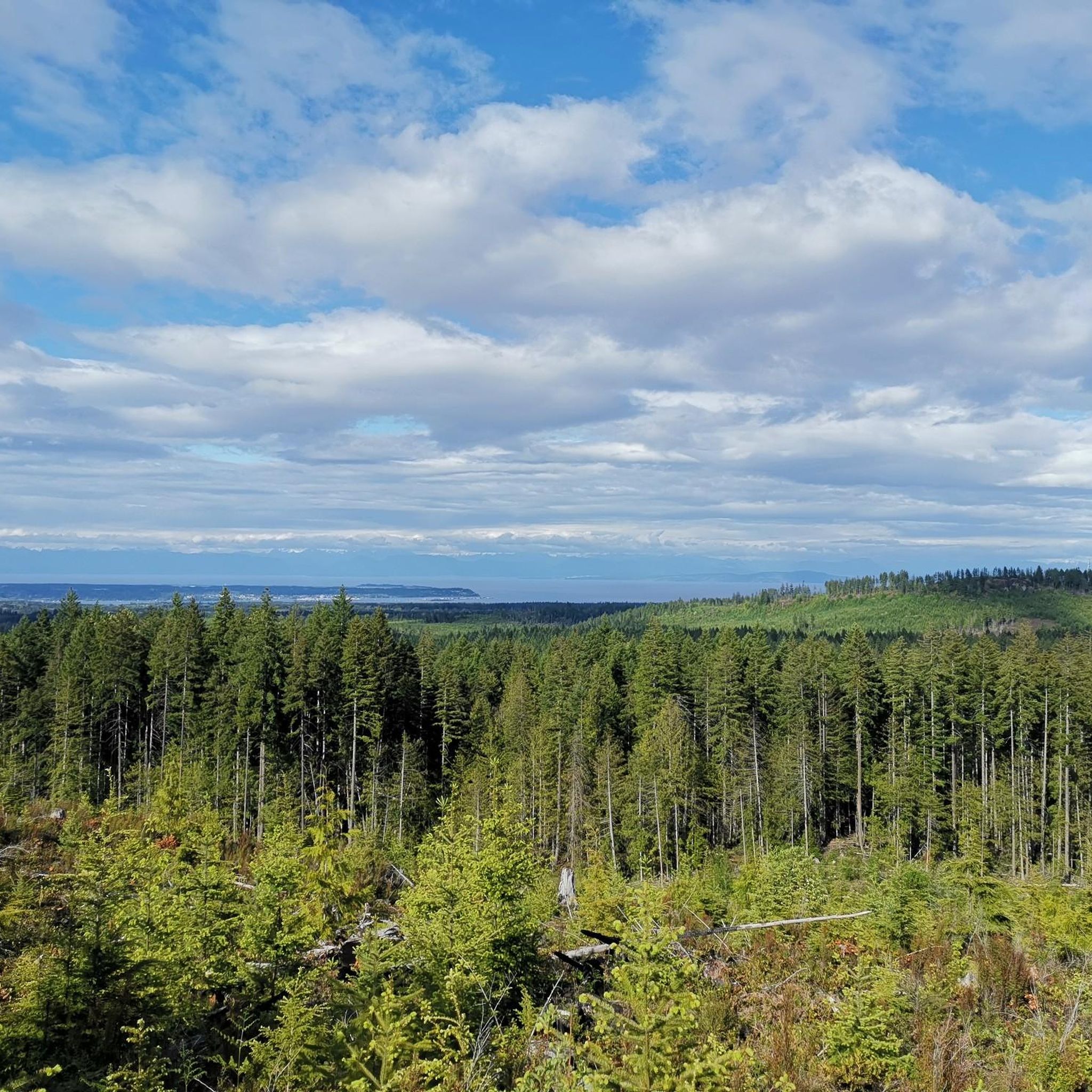
This is an active logging road...be aware, listen, and be prepared for a lot of dust if it's the dry season
0
0

There are a bunch of seaplanes and other small aircraft that are usually parked along the fence opposite the Riverway Path. You can check them out as you pass by.
0
0
This path takes you through Courtenay's urban area, partially sheltered on either side by strips of greenery, between downtown and the riverfront. You share the path with cyclists, but the trail is paved and divided to ease multi-use traffic.
0
0

Cumberland Community Forest stretches more than 500 acres, and is mostly second-growth coastal forest with a web of well-maintained trails. These trails are open to hiking, mountain biking, trail running.
0
0

You can also grab a coffee and take it down to one of the picnic tables along Marine Drive. A great place to look across towards Comox Marina and Goosespit.
0
0

Cool little airport that has some interesting aircraft to check out.
0
0
Frequently Asked Questions
How many gravel bike trails are available in Upper Puntledge River Woodlands?
There are 6 gravel bike routes available in the Upper Puntledge River Woodlands. These trails offer a mix of experiences, with 2 routes rated as moderate and 4 as difficult, catering to various skill levels.
What is the overall difficulty level of gravel biking in this region?
The Upper Puntledge River Woodlands offers a range of gravel biking difficulties. You'll find a mix of moderate and difficult routes. Many trails, originally designed for mountain biking, feature varied terrain with both easy, flat sections and more challenging parts with significant elevation changes. For example, the Duncan Bay Mainline – One Spot Trailhead loop from Courtenay is a difficult route with over 3,280 feet (1,000 meters) of elevation gain.
Are there any family-friendly or beginner-suitable gravel bike routes?
While many routes in the Upper Puntledge River Woodlands are rated moderate to difficult, the extensive network includes sections suitable for varying skill levels. For a less strenuous option, consider the One Spot Trailhead – Courtenay Airpark loop from Courtenay, which is rated moderate and covers 24.3 miles (39.1 km) with less elevation gain compared to other routes.
What kind of scenery and natural features can I expect to see along the gravel bike trails?
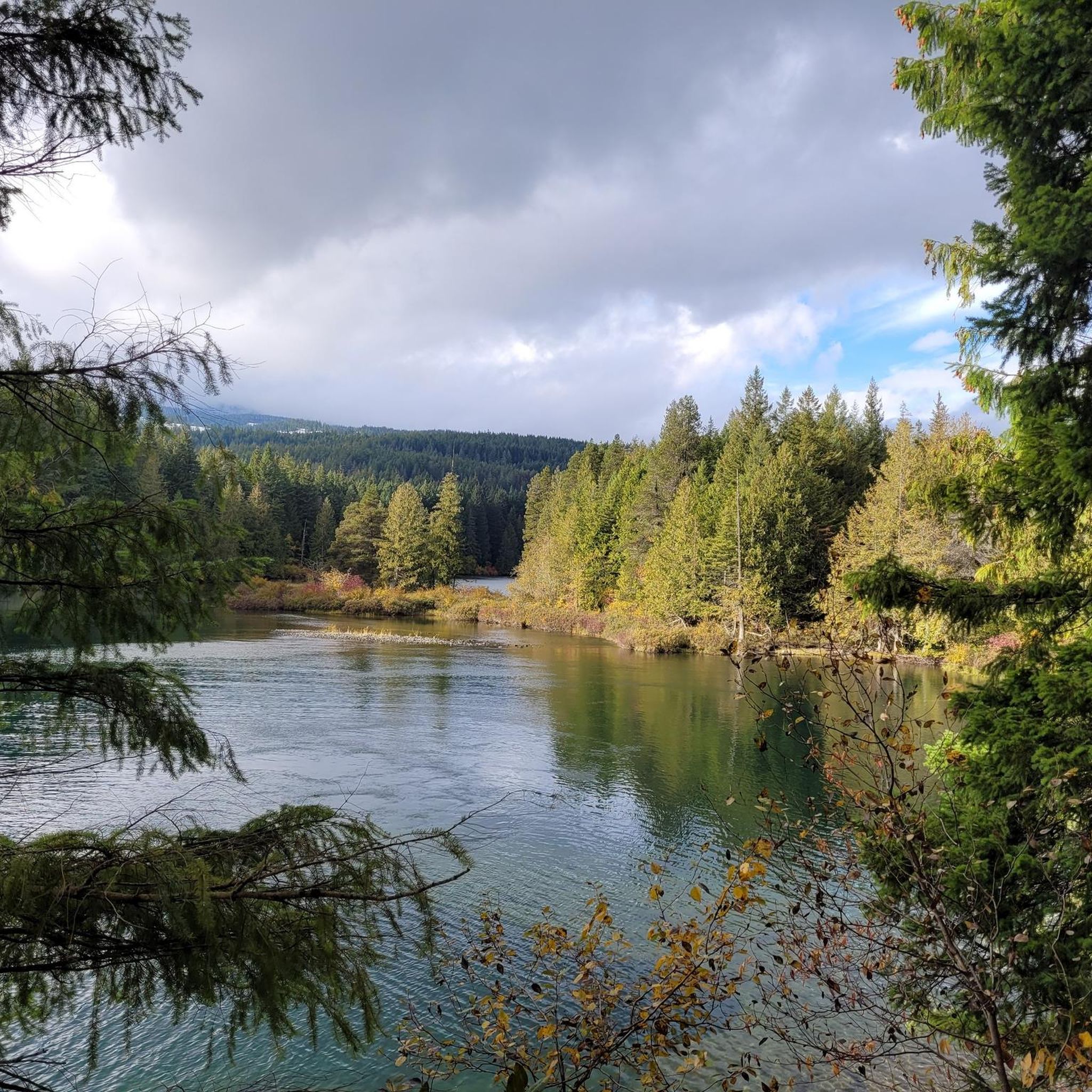
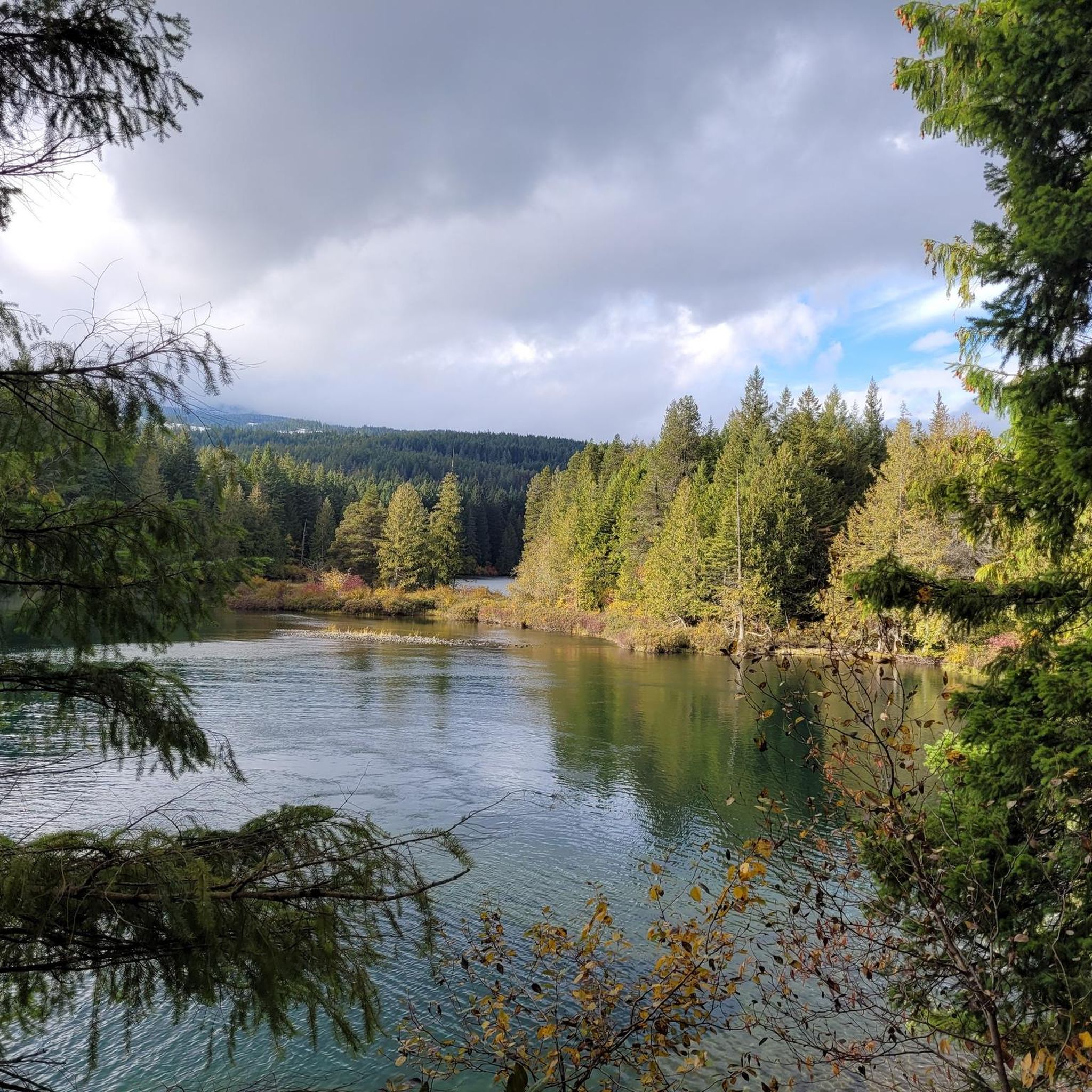
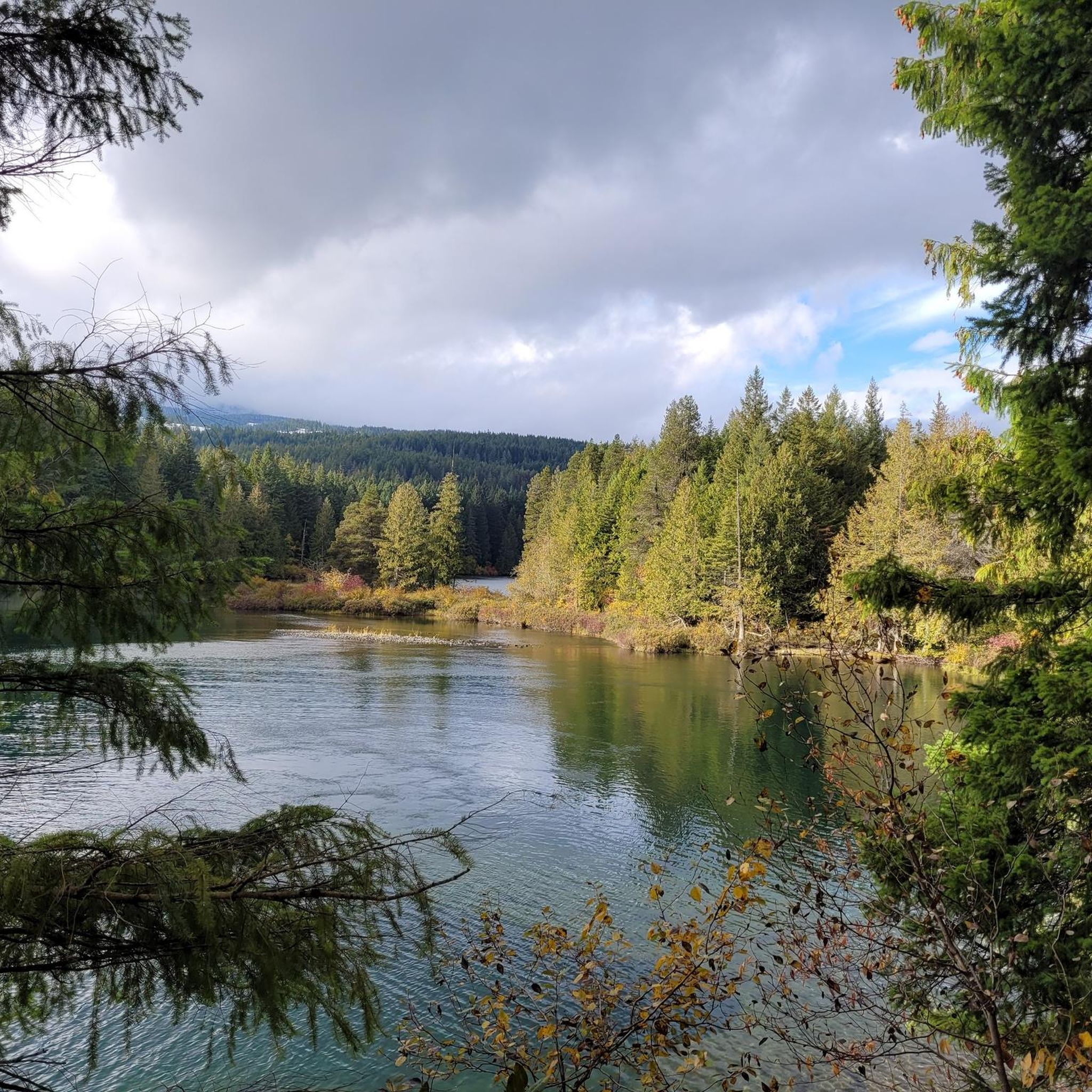
Gravel biking in the Upper Puntledge River Woodlands offers diverse scenery. You'll ride through mature, second-growth forests with towering conifers and vibrant undergrowth. The majestic Puntledge River is a central highlight, providing stunning views. You might also encounter unique ecological sites like the Puntledge Bog, accessible via a boardwalk, which features stunted pines and specialized plants. The One Spot Trailhead – Medicine Bowls Trail loop from Courtenay, for instance, leads through beautiful forested areas.
Are there any loop trails for gravel biking in the Upper Puntledge River Woodlands?
Yes, many of the gravel bike routes in the Upper Puntledge River Woodlands are designed as loops, allowing you to start and end at the same point. Examples include the challenging Courtenay Airpark – Cumberland Brewing Co. loop from Cumberland and the Courtenay Airpark – One Spot Trailhead loop from Courtenay, both offering substantial rides through the region's varied terrain.
What is the best time of year for gravel biking in this area?
The Upper Puntledge River Woodlands is enjoyable for gravel biking across multiple seasons. Spring brings spectacular wildflower blooms, while summer offers pleasant conditions for longer rides. Autumn is ideal for observing the salmon spawning runs at Nymph Falls. The region's extensive trail system can be explored for much of the year, though conditions may vary with weather.
Is the Upper Puntledge River Recreation Area dog-friendly for gravel biking?
The Upper Puntledge River Woodlands is generally considered dog-friendly, with many multi-use trails. However, it's always recommended to keep dogs on a leash, especially given the presence of wildlife such as bears, cougars, and deer. Please ensure you follow local regulations and practice Leave No Trace principles.
Where can I park to access the gravel bike trails?
A key recreational hub with ample parking is the Comox Lake Dam Picnic Area. This location provides direct access to the extensive trail system, making it a convenient starting point for your gravel biking adventures in the Upper Puntledge River Woodlands.
Are there any cafes or places to eat near the gravel bike trails?
While the immediate trailheads are more natural, the nearby towns of Cumberland and Courtenay offer various cafes, pubs, and accommodation options. These towns are excellent places to refuel before or after your ride, providing a range of choices for food and drinks.
What do other gravel bikers enjoy most about the Upper Puntledge River Woodlands?
The area is highly rated by the komoot community, with an average score of 4.6 stars from over 8 reviews. Reviewers often praise the comprehensive network of multi-use trails, the scenic beauty of the Puntledge River, and the diverse forest environments. Many appreciate the variety of routes, from moderate excursions to more challenging, longer rides.
Can I reach the Upper Puntledge River Recreation Area by public transport?
Public transport options are available to reach the general Comox Valley area. For specific access to the Upper Puntledge River Recreation Area and the Comox Lake Dam, it's advisable to check the latest routes and schedules for Comox Valley Transit, as services to more remote recreational areas can be limited.
Most popular routes in Upper Puntledge River Woodlands

Get inspired with the komoot mobile app


Explore more
Browse the best Gravel rides in other regions.
