The best gravel rides in Dunkelsteinerwald
4.4
(45)
274
riders
34
rides
Gravel biking in Dunkelsteinerwald offers a diverse landscape characterized by hilly terrain and extensive forested areas, with elevations reaching up to 700 meters. The region features a mix of low-traffic roads and trails that transition from dense forests in the core to flatter areas with vineyards and fruit orchards in the northeast. This varied topography provides alternating ascents and descents, making it suitable for a range of gravel biking experiences. Grand views over the Danube valley and the foothills of the Alps are common along many routes.
Best gravel bike trails in Dunkelsteinerwald
- The most popular gravel bike trail is Spitz on the Danube – Wachau Vineyards Route loop from Bergern im Dunkelsteinerwald, a 23.9 miles (38.5 km) trail that takes 2 hours 34 minutes to complete. This route navigates through the scenic Wachau vineyards and offers views of the Danube.
- Another top favourite among local gravel bikers is Danube Valley in the Wachau – Wachau Vineyards Route loop from Gansbach, a difficult 44.9 miles (72.4 km) path. This route features significant elevation gain through the Danube Valley and Wachau vineyards.
- Local gravel bikers also love the Red Gate – Vineyards Near St. Michael loop from Spitz a.d. Donau, a 13.2 miles (21.2 km) trail leading through vineyards and forested areas, often completed in about 1 hour 34 minutes.
- Gravel biking in Dunkelsteinerwald is defined by hilly forested landscapes, Danube valley views, and historical sites. The extensive network offers options for both challenging climbs and more leisurely rides.
- The routes in Dunkelsteinerwald are highly rated by the komoot community with an average score of 4.5 stars from over 20 reviews. More than 190 gravel bikers have used komoot to explore Dunkelsteinerwald's varied terrain.
Last updated: October 6, 2026
4.7
(12)
79
riders
Hard gravel ride. Very good fitness required. Mostly paved surfaces. Suitable for all skill levels.
4.8
(5)
23
riders
72.9km
04:34
860m
850m
Hard gravel ride. Very good fitness required. Mostly paved surfaces. Suitable for all skill levels.

3.0
(1)
8
riders
21.1km
01:34
560m
560m
Hard gravel ride. Very good fitness required. Mostly paved surfaces. Suitable for all skill levels.
4.8
(9)
68
riders
Hard gravel ride. Very good fitness required. You may need to push your bike for some segments of this route.
4.3
(3)
13
riders
40.5km
02:48
650m
650m
Hard gravel ride. Very good fitness required. Mostly paved surfaces. Suitable for all skill levels.
Get access to more routes and recommendations from other explorers.
Already have an account?
Our route recommendations are based on thousands of hikes, rides, and runs completed by other people on komoot.
Start today with a free account
Your next adventure awaits.

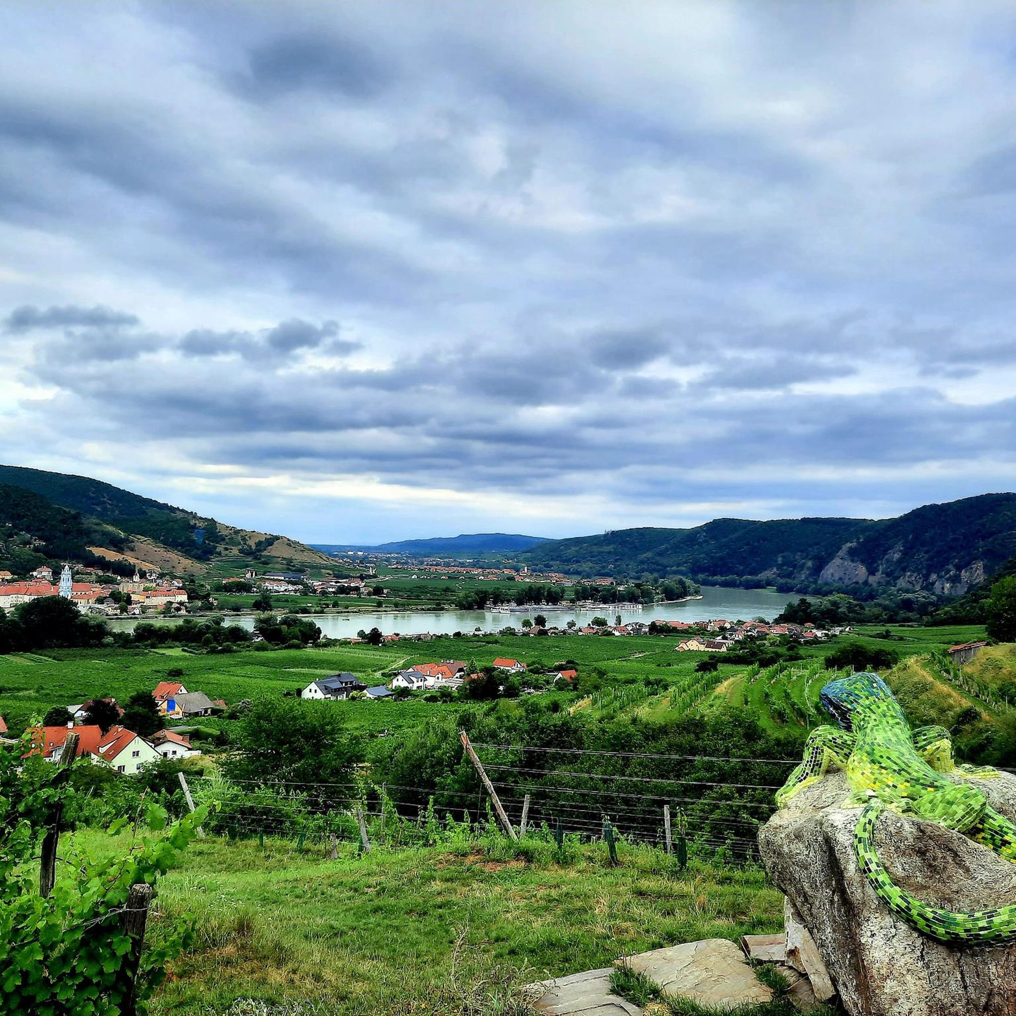
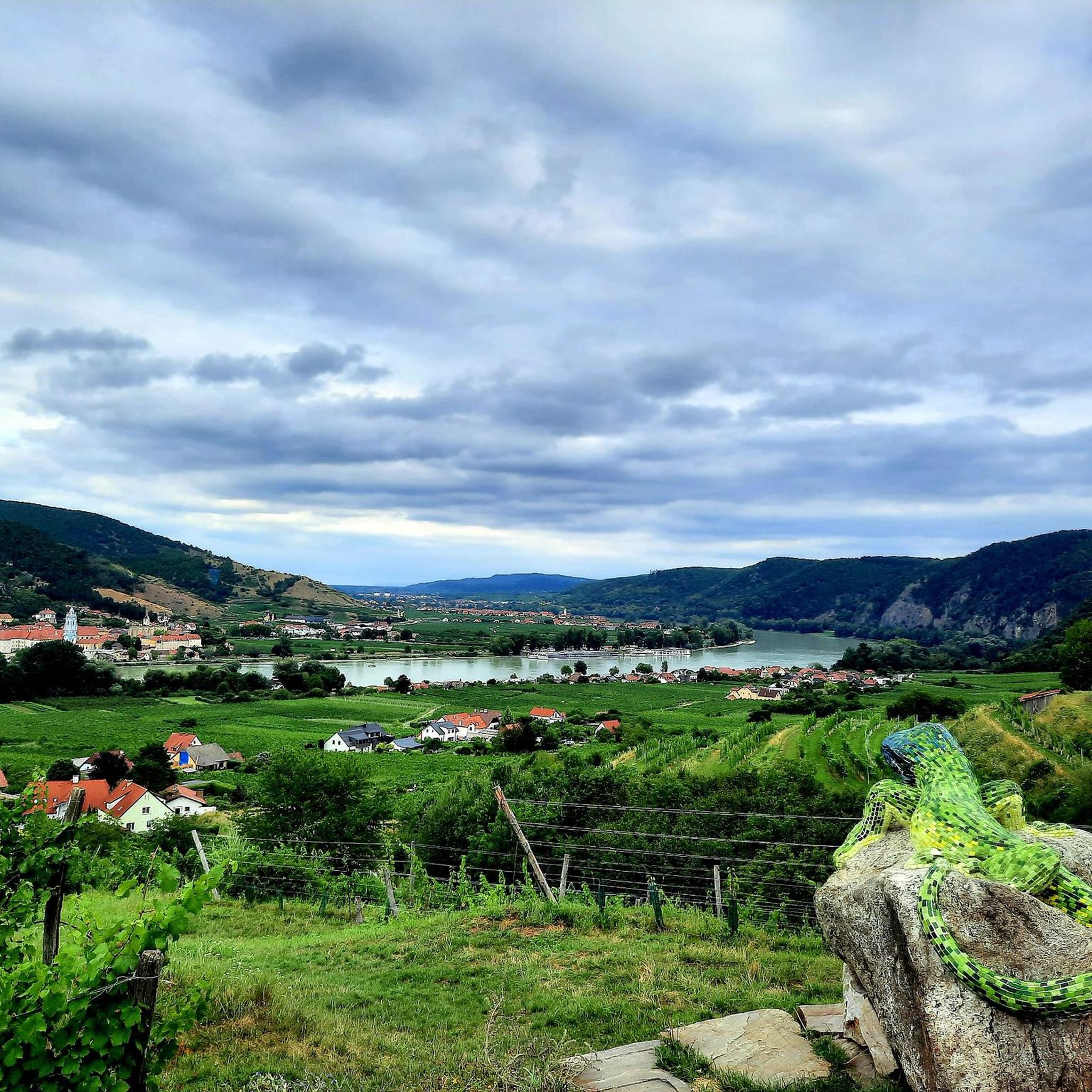
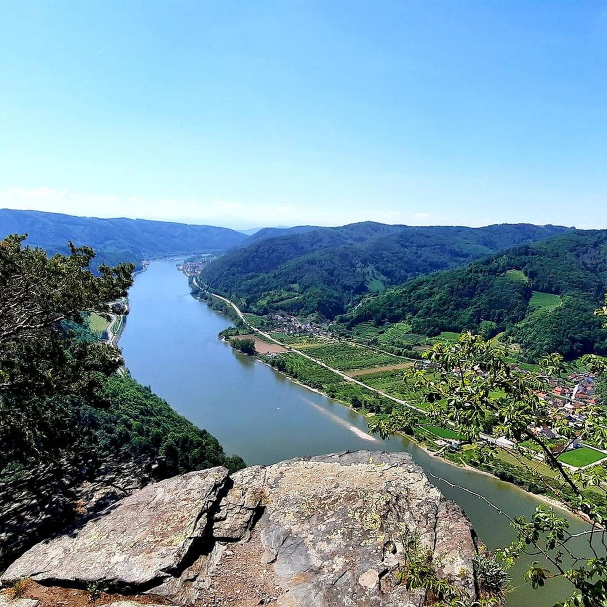
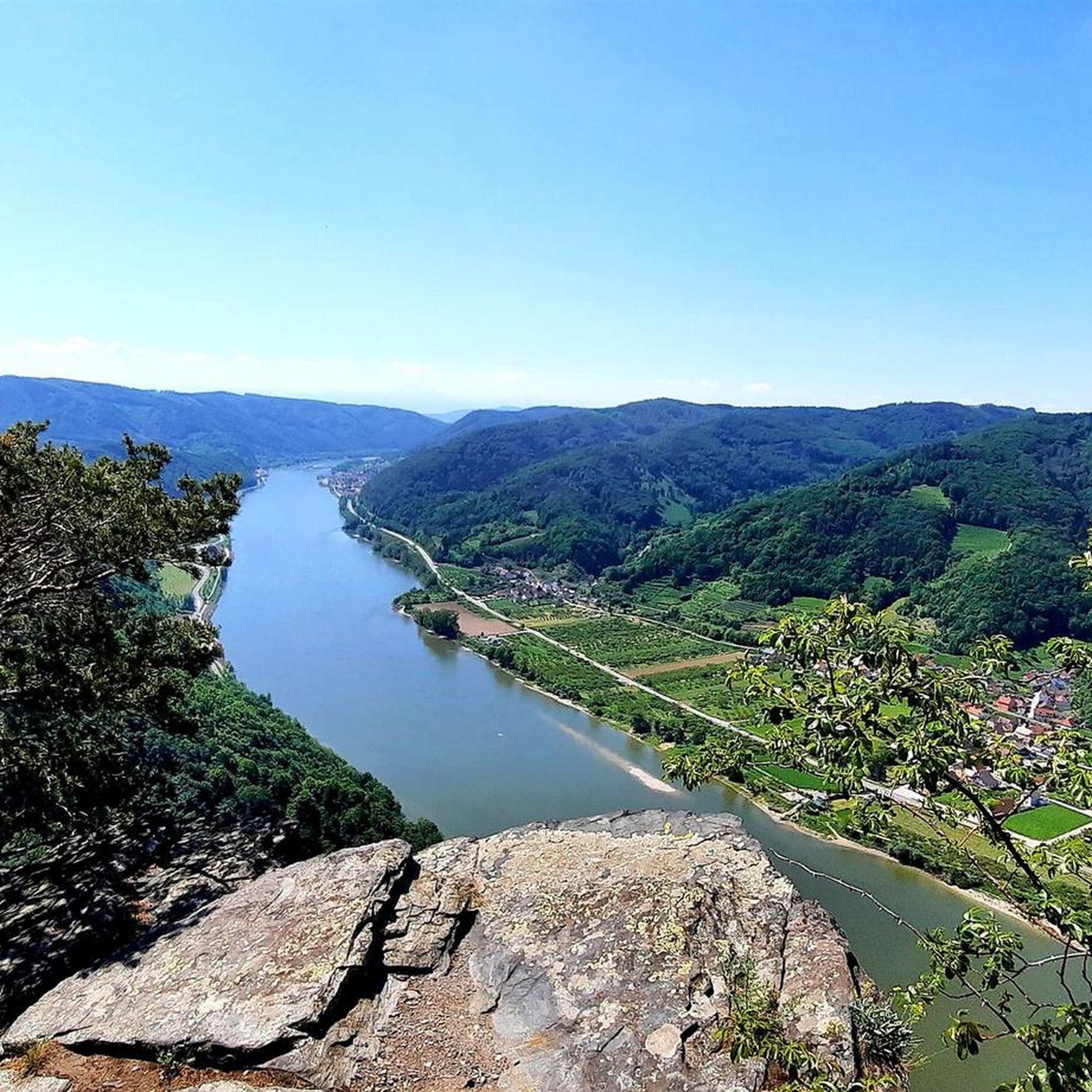
Other adventures in Dunkelsteinerwald

Tips from the Community

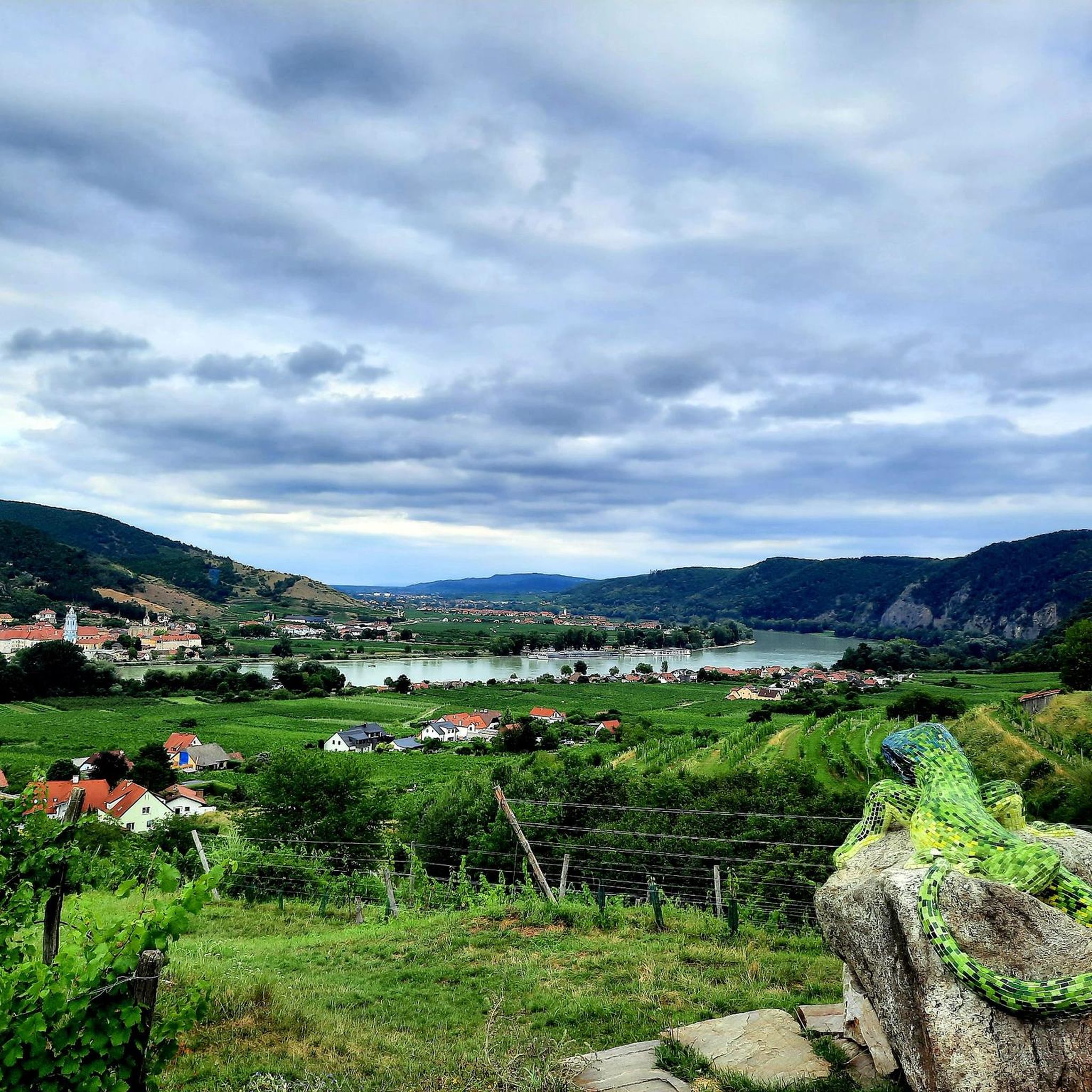
Always beautiful, the view over the Danube to Dürnstein. Especially in the evening sun 🌞.
0
0

beautiful church on the main square of Spitz
0
0
The Parish Church of Spitz, dedicated to Saint Mauritius, is a significant religious and cultural landmark of the region. This impressive church invites visitors to discover its magnificent architecture and rich history. Dedicated to Saint Mauritius, the Parish Church radiates an atmosphere of tranquility and spirituality, that has impressed visitors for centuries.
0
0

The culturally interested traveler will not encounter it unexpectedly, the Benedictine Abbey, mostly known by the name STIFT MELK – and under the patronage of the two apostle princes – whose official designation is „Abbatia SS. App. Petri et Pauli apud Melk“. It is not only significant in a religious respect, but even an essential part of the cultural landscape of Wachau, ennobled by UNESCO with the special predicate „World Heritage“. A documentation within the framework of the television series »Schätze der Welt – Erbe der Menschheit« reports: „A landmark of the Wachau and actually the staging of this landscape is the Stift Melk. The core of the Melk monastery complex is the library, with 85,000 volumes and 1200 manuscripts, one of the largest in the world. It is the ideological headquarters of Benedictinism. Here everything is stored that can be described as the foundation of the Western spirit.“ The fifteen-minute contribution about this highlight, awarded by UNESCO with the predicate „World Heritage“, is available in the ARD media library via the following link =>> https://www.ardmediathek.de/video/schaetze-der-welt/die-wachau-oesterreich-folge-282/swr/Y3JpZDovL3N3ci5kZS82ODcyNjk0
0
0
In 1163, a Romanesque wooden chapel stood in the place, which was consecrated to the patron of the Niederalteich monastery. The present-day church is a significant work of the late Gothic period and rises with its mighty west tower on the present-day church square.
0
0
The parish church of Spitz, consecrated to Saint Mauritius, is a significant religious and cultural landmark of the region. This impressive church invites visitors to discover its magnificent architecture and rich history. Dedicated to Saint Mauritius, the parish church radiates an atmosphere of peace and spirituality that has impressed visitors for centuries.
0
0
Rollfähre Spitz-Arnsdorf The Rollfähre connects the villages of Spitz and Arnsdorf by water. The ferry, consisting of two interconnected hulls, has a load capacity of 20 t (bridge load on its own 10 t) and transports both people and vehicles. The loading deck substructure is made of steel, while the superstructures are made of wood. The catamaran design ensures good stability. The ferry is held by a 485 m long cable, which is stretched across the Danube and anchored to the banks in strong towers. The ferry and cable are connected by a so-called yaw rope. No expensive energy is required for propulsion; only the river current of the Danube is utilized. The Rollfähre has a four-person crew, working in pairs. Since 2004, an art object by the Icelandic artist Olafur Eliasson has been installed on the ferry.
0
0

Beautiful play of light on the green (!) Danube.
0
0
Frequently Asked Questions
How many gravel bike trails are available in Dunkelsteinerwald?
There are over 80 gravel bike trails in the Dunkelsteinerwald region, offering a wide range of experiences from moderate to difficult. You'll find 3 easy routes, 31 moderate routes, and 52 difficult routes, ensuring options for various skill levels.
What is the general difficulty level of gravel biking in Dunkelsteinerwald?
The Dunkelsteinerwald region is characterized by a hilly landscape with elevations up to 700 meters, leading to many routes featuring 'alternating ups and downs'. While there are some easier options, the majority of gravel trails are rated as moderate to difficult, often requiring good fitness and advanced riding techniques. For example, the Danube Valley in the Wachau – View of Melk Abbey loop from Paudorf is a challenging 86.6-mile (139.3 km) route with over 3,400 feet (1055 m) of elevation gain.
Are there any family-friendly gravel bike trails in Dunkelsteinerwald?
While many routes in Dunkelsteinerwald are challenging, the region's edges offer flatter sections that are more suitable for families and leisure riders. Look for routes with lower elevation gain and shorter distances. For example, the Spitz on the Danube – Wachau Vineyards Route loop from Bergern im Dunkelsteinerwald, while rated difficult, is a popular 23.9-mile (38.5 km) loop that navigates scenic vineyards and offers beautiful views, which might be manageable for active families.
What kind of natural features and viewpoints can I expect along the gravel routes?
The Dunkelsteinerwald offers a compelling mix of natural beauty. You'll encounter extensive forested areas, small fields, and grand views over the Danube valley and the foothills of the Alps. The region is also known for its wild roses. For spectacular panoramic views, consider visiting the Seekopf Observation Tower (671 m) or the Ferdinandwarte lookout tower at Oberbergern.
Are there historical landmarks or attractions along the gravel bike trails?
Yes, the Dunkelsteinerwald is rich in history. You can explore medieval castle ruins such as Hohenegg Castle Ruins and Aggstein Castle Ruins, both offering magnificent views. The region also features numerous churches and monasteries, including the impressive Baroque church in Maria Langegg. The Spitz–Arnsdorf Cable Ferry – View of Göttweig Abbey loop from Schloss Rossatz route, for instance, leads through the Danube Valley with views of prominent abbeys.
What do other gravel bikers enjoy most about the Dunkelsteinerwald trails?
The Dunkelsteinerwald trails are highly rated by the komoot community, with an average score of 4.6 stars from over 90 reviews. Riders often praise the diverse landscapes, the 'alternating ups and downs' on low-traffic roads, and the stunning views over the Danube valley. The region's quiet, mystical forest areas also contribute to a unique cycling experience.
Are there any circular gravel bike routes in Dunkelsteinerwald?
Yes, many of the gravel bike routes in Dunkelsteinerwald are designed as loops, allowing you to start and end at the same point. Examples include the Spitz on the Danube – Wachau Vineyards Route loop from Bergern im Dunkelsteinerwald and the St. Lorenz Ferry Terminal – View of Weissenkirchen loop from Dürnstein. These circular routes make planning your ride more convenient.
What is the best time of year for gravel biking in Dunkelsteinerwald?
The varied topography of Dunkelsteinerwald makes it enjoyable across multiple seasons. Spring and autumn offer pleasant temperatures and vibrant scenery, with the wild roses blooming in warmer months. While specific winter conditions can vary, the extensive trail network means that some routes may still be accessible, though conditions like snow or ice should be considered.
Are there options for parking near the gravel bike trails?
Yes, as a popular outdoor destination, various starting points for gravel bike routes in Dunkelsteinerwald offer parking facilities. Many routes begin near towns or villages like Bergern im Dunkelsteinerwald, Dürnstein, or Schloss Rossatz, where you can typically find designated parking areas. It's always a good idea to check the specific route details on komoot for recommended starting points and parking information.
Can I access the Dunkelsteinerwald gravel trails using public transport?
The Dunkelsteinerwald region is situated in the triangle between St. Pölten, Krems, and Melk, and borders the Wachau and Danube Valley, which are well-connected by public transport. The region also connects to the Danube Cycle Path at Schönbühel-Aggsbach, which is accessible via public transport. While direct access to every trail might require some planning, you can often reach towns near trailheads by bus or train, and then cycle to your starting point.
Are there any cafes or places to eat near the gravel bike routes?
Given the region's popularity and its proximity to the Wachau and Danube Valley, you'll find various cafes, restaurants, and traditional taverns (Heurigen) in the towns and villages scattered throughout and around Dunkelsteinerwald. These establishments offer opportunities to refuel and relax during or after your ride. Specific options will depend on the route you choose, but places like Dürnstein, Spitz, and Maria Langegg are good starting points for finding refreshments.
Are there any less-known or 'hidden gem' gravel routes in the area?
The 'mystical forest area' of Dunkelsteinerwald, with its dense, untouched nature, offers many opportunities to discover quieter paths away from the most popular spots. While specific 'hidden gems' are often best found through local exploration, routes that delve deeper into the core forested areas, away from the Danube, tend to be less frequented. The komoot community often shares insights on such trails, so checking individual tour comments can be helpful.
Most popular routes in Dunkelsteinerwald
Most popular attractions in Dunkelsteinerwald

Get inspired with the komoot mobile app


Explore more
Browse the best Gravel rides in other regions.
