The best cycling routes in Dunkelsteinerwald
4.6
(9670)
62,887
riders
12
rides
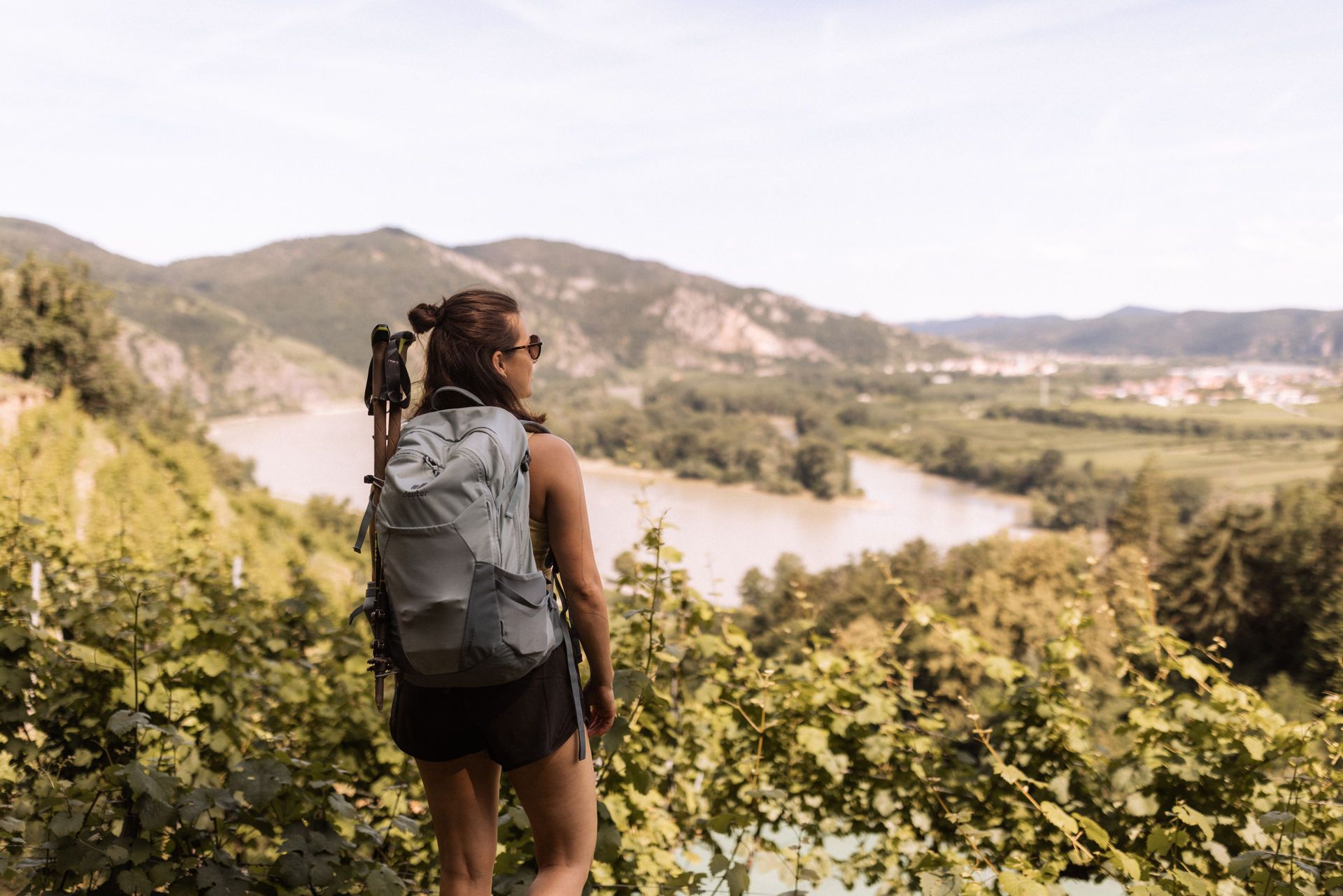
Touring cycling in Dunkelsteinerwald offers a diverse landscape south of the Danube in Lower Austria. The region features predominantly hilly terrain with elevations up to 700 meters, characterized by dense forests and expansive fields. Cyclists can experience panoramic views over the Danube valley and the foothills of the Alps, with routes often traversing quiet roads and asphalted paths.
Best touring cycling routes in Dunkelsteinerwald
- The most popular touring cycling route is Dürnstein City Gate – Spitz on the Danube loop from Weißenkirchen in der Wachau, a 26.3 miles (42.4 km) trail that takes 3 hours 0 minutes to complete. This route offers challenging climbs and views of the Danube.
- Another top favourite among local touring cyclists is Spitz on the Danube – Wachau Vineyards Route loop from Rossatz-Arnsdorf, a moderate 13.6 miles (22.0 km) path. This trail winds through vineyards and offers scenic views of the Wachau cultural landscape.
- Local touring cyclists also love the Aggsbach Charterhouse – Schönbühel Castle loop from Schönbühel-Aggsbach, a 23.9 miles (38.4 km) trail leading through historical sites and the Danube valley, often completed in about 2 hours 25 minutes.
- Touring cycling in Dunkelsteinerwald is defined by hilly terrain, dense forests, and views of the Danube valley. The extensive network of routes offers options for different ability levels, from easy paths to more challenging climbs.
- The routes in Dunkelsteinerwald are highly rated by the komoot community with an average score of 4.6 stars from over 6000 reviews. More than 46000 touring cyclists have used komoot to explore Dunkelsteinerwald's varied terrain.
Last updated: October 5, 2026
4.8
(542)
3,259
riders
Hard bike ride. Very good fitness required. Mostly paved surfaces. Suitable for all skill levels.
4.8
(20)
200
riders
21.9km
01:41
430m
430m
Moderate bike ride. Good fitness required. Mostly paved surfaces. Suitable for all skill levels.

4.9
(10)
67
riders
38.4km
02:25
330m
330m
Moderate bike ride. Good fitness required. Mostly paved surfaces. Suitable for all skill levels.
5.0
(1)
67
riders
Easy bike ride. Great for any fitness level. Mostly paved surfaces. Suitable for all skill levels.
4.6
(8)
42
riders
Easy bike ride. Great for any fitness level. Mostly paved surfaces. Suitable for all skill levels.
Get access to more routes and recommendations from other explorers.
Already have an account?
Our route recommendations are based on thousands of hikes, rides, and runs completed by other people on komoot.
Start today with a free account
Your next adventure awaits.
Popular around Dunkelsteinerwald

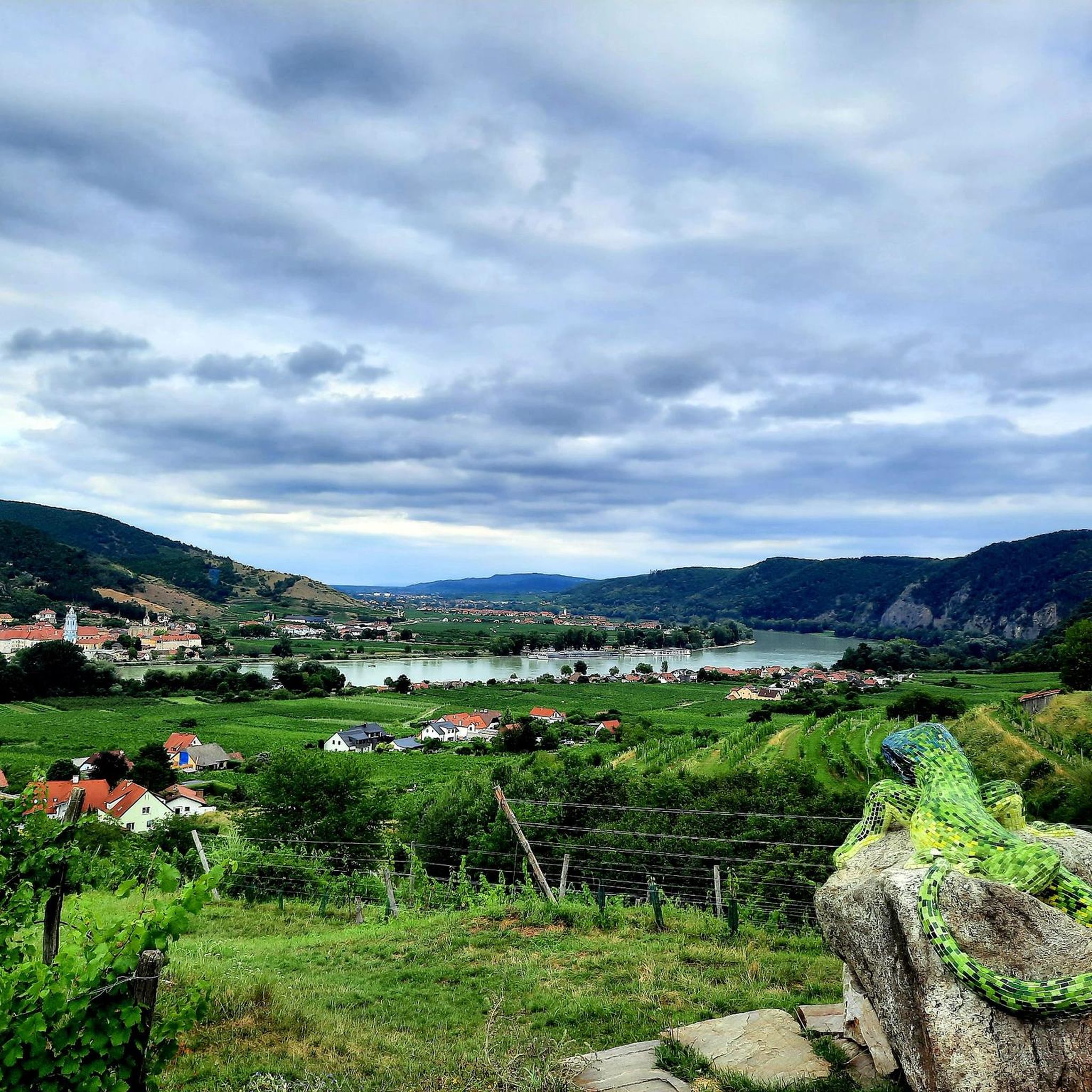
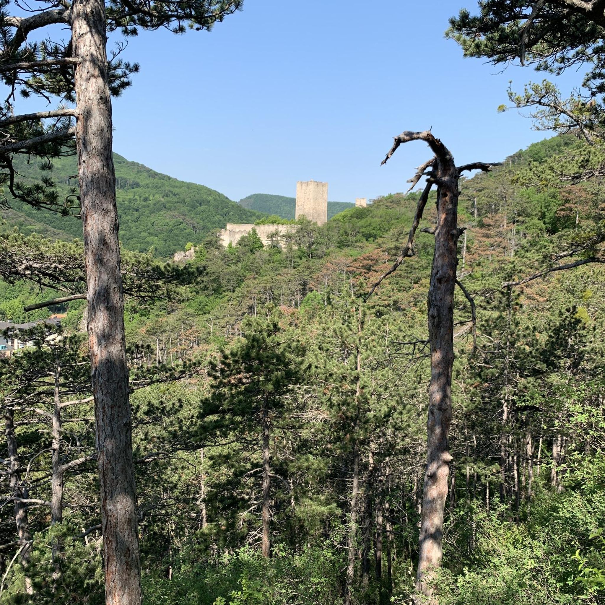
Other adventures in Dunkelsteinerwald

Tips from the Community

nice connection to the other bank of the Danube
0
0

Rollfähre Spitz-Arnsdorf The Rollfähre connects the villages of Spitz and Arnsdorf by water. The ferry, consisting of two interconnected ship hulls, has a load capacity of 20 t (bridge load alone 10 t) and transports both people and motor vehicles. The loading deck substructure is made of steel, while the superstructures are made of wood. The catamaran design ensures good stability. The ferry is held by a 485 m long cable, which is stretched across the Danube and anchored to the banks in strong towers. The ferry and the cable are connected by a so-called yaw rope. No expensive energy is required for propulsion; only the river current of the Danube is utilized. The Rollfähre has a four-person crew, working in pairs. Since 2004, an art object by the Icelandic artist Olafur Eliasson has been installed on the ferry.
0
0
Rollfähre Spitz-Arnsdorf The Rollfähre connects the villages of Spitz and Arnsdorf by water. The ferry, consisting of two interconnected hulls, has a load capacity of 20 t (bridge load on its own 10 t) and transports both people and vehicles. The loading deck substructure is made of steel, while the superstructures are made of wood. The catamaran design ensures good stability. The ferry is held by a 485 m long cable, which is stretched across the Danube and anchored to the banks in strong towers. The ferry and cable are connected by a so-called yaw rope. No expensive energy is required for propulsion; only the river current of the Danube is utilized. The Rollfähre has a four-person crew, working in pairs. Since 2004, an art object by the Icelandic artist Olafur Eliasson has been installed on the ferry.
0
0

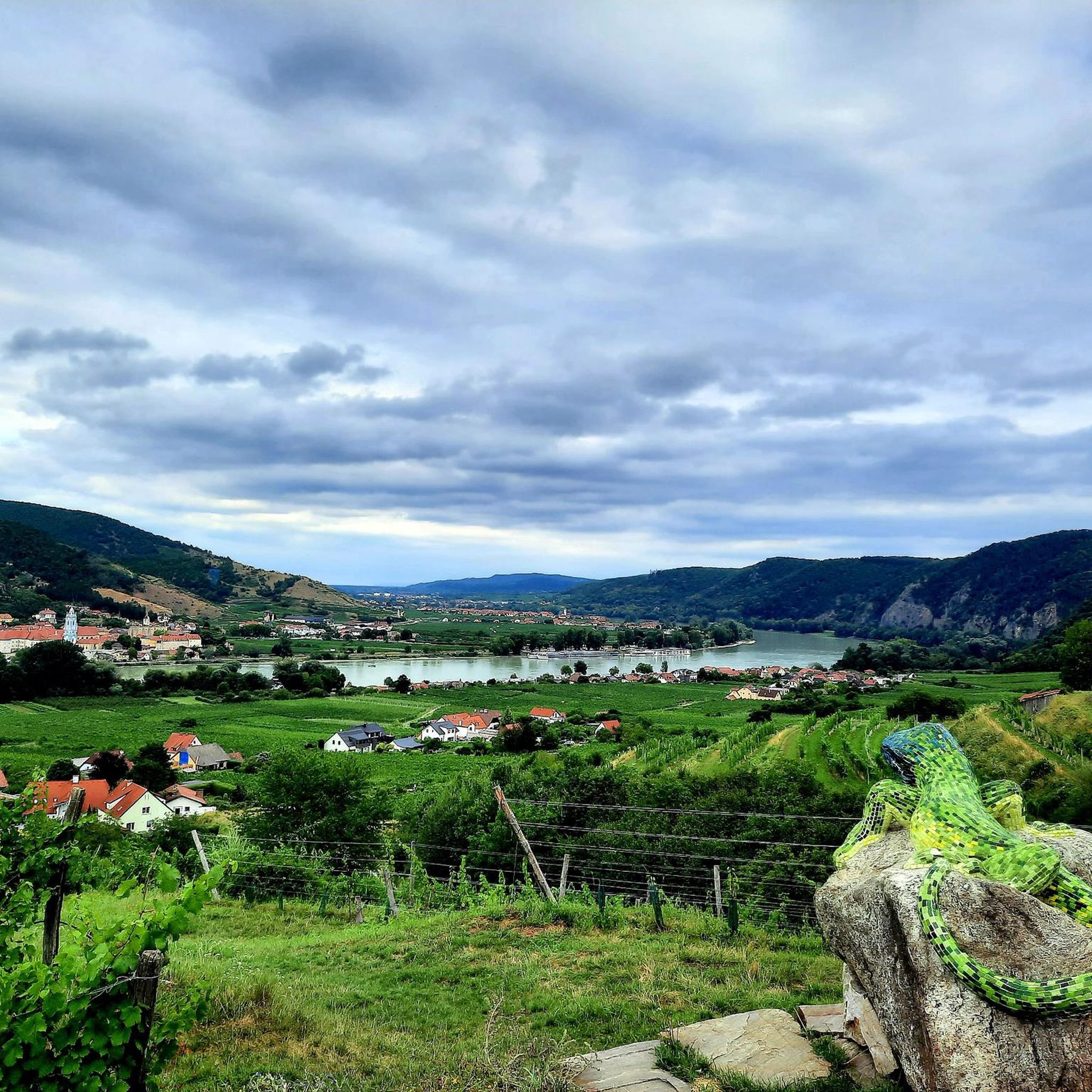
Beautiful play of light on the green (!) Danube.
0
0

Right at the landing stage of the Weißenkirchen car ferry, the monumental nose is not immediately noticeable. One is left astonished and wonders about the different nostrils, hoping that the buried giant continues to sleep.
0
0
Imposing, sturdy building directly on the riverbank. Unusual at first glance, very interesting and worth seeing.
1
0
Dürnstein is a small old town with many tourists.
0
0
A very interesting building, privately owned since 1970. The monastery was founded as early as 1380. Visitors can explore the Carthusian Museum and the church.
0
0
Frequently Asked Questions
How many touring cycling routes are available in Dunkelsteinerwald?
Dunkelsteinerwald offers a diverse network of touring cycling routes. You can find 16 distinct routes, ranging from easy to difficult, ensuring options for various skill levels.
What kind of terrain can I expect on touring cycling routes in Dunkelsteinerwald?
The region is characterized by predominantly hilly terrain, with elevations reaching up to 700 meters. You'll encounter dense forests, expansive fields, and quiet roads, with some routes featuring challenging climbs. The landscape also offers stunning views over the Danube valley and the foothills of the Alps.
Are there any easy or family-friendly touring cycling routes in Dunkelsteinerwald?
Yes, there are several easier routes suitable for families and recreational cyclists. For instance, the Wachau Nose Sculpture – View of Weissenkirchen loop from Weißenkirchen in der Wachau is an easy 10.6 km path. The region also connects to sections of the Danube Cycle Path, which offers comfortable cycling with minimal elevation changes.
What are some notable landmarks or viewpoints I can visit along the cycling routes?
You can explore several historical and scenic points of interest. The Aggstein Castle Ruins offer spectacular views of the Wachau, while the Hohenegg Castle Ruins provide vistas into the foothills of the Alps. The Baroque pilgrimage church in Maria Langegg and the Aggsbach Charterhouse are also significant historical sites.
Are there any circular touring cycling routes in Dunkelsteinerwald?
Yes, many routes in Dunkelsteinerwald are designed as loops. A popular option is the Spitz on the Danube – Wachau Vineyards Route loop from Rossatz-Arnsdorf, which is a moderate 22 km path winding through vineyards. Another is the Aggsbach Charterhouse – Schönbühel Castle loop from Schönbühel-Aggsbach, a 38.4 km trail through historical sites.
What is the best time of year to go touring cycling in Dunkelsteinerwald?
The region is beautiful from spring through autumn. From May to mid-July, you can enjoy the blooming wild roses, which are a characteristic feature of the area. The extensive wooded areas also provide shade during warmer months, making it pleasant for cycling.
Where can I find refreshments or places to rest along the cycling routes?
Dunkelsteinerwald offers numerous opportunities for rest and refreshment. You'll find cozy country inns and traditional 'Heurigen' (wine taverns) scattered throughout the region, especially in charming villages like Spitz on the Danube, perfect for a break.
How long do touring cycling routes in Dunkelsteinerwald typically take to complete?
Route durations vary depending on length and difficulty. For example, the Dürnstein City Gate – Spitz on the Danube loop from Weißenkirchen in der Wachau, a challenging 42.4 km route, typically takes around 3 hours. Shorter, easier routes like the Spitz on the Danube – Vineyards Near St. Michael loop from Weißenkirchen in der Wachau (12.7 km) can be completed in under an hour.
What do other cyclists say about touring cycling in Dunkelsteinerwald?
The touring cycling routes in Dunkelsteinerwald are highly rated by the komoot community, with an average score of 4.6 stars from over 6,000 reviews. Cyclists often praise the diverse landscapes, the panoramic views over the Danube, and the well-maintained paths through forests and vineyards.
Can I reach the cycling routes in Dunkelsteinerwald by public transport?
Yes, the Dunkelsteinerwald region is accessible, and some routes connect to areas served by public transport, particularly along the Danube. The Danube Cycle Path, which touches the region at Schönbühel-Aggsbach, is well-integrated with public transport options, including train stations in nearby towns.
Are there options for more challenging touring cycling routes?
Absolutely. For ambitious cyclists, the hilly terrain provides challenging climbs rewarded with magnificent panoramic views. The Dürnstein City Gate – Spitz on the Danube loop from Weißenkirchen in der Wachau is classified as a difficult route, featuring significant elevation changes over its 42.4 km length.
What natural features can I expect to see while cycling in Dunkelsteinerwald?
You'll experience a rich variety of natural beauty, including dense, mystical forests, expansive fields, and the unique 'rosehip pleasure region' with over 12 native kinds of wild roses. The Gurhofgraben nature reserve, part of the Wachau conservation area, features forests, vineyards, rock, and loess landscapes.
Are there any routes that offer views of the Danube valley?
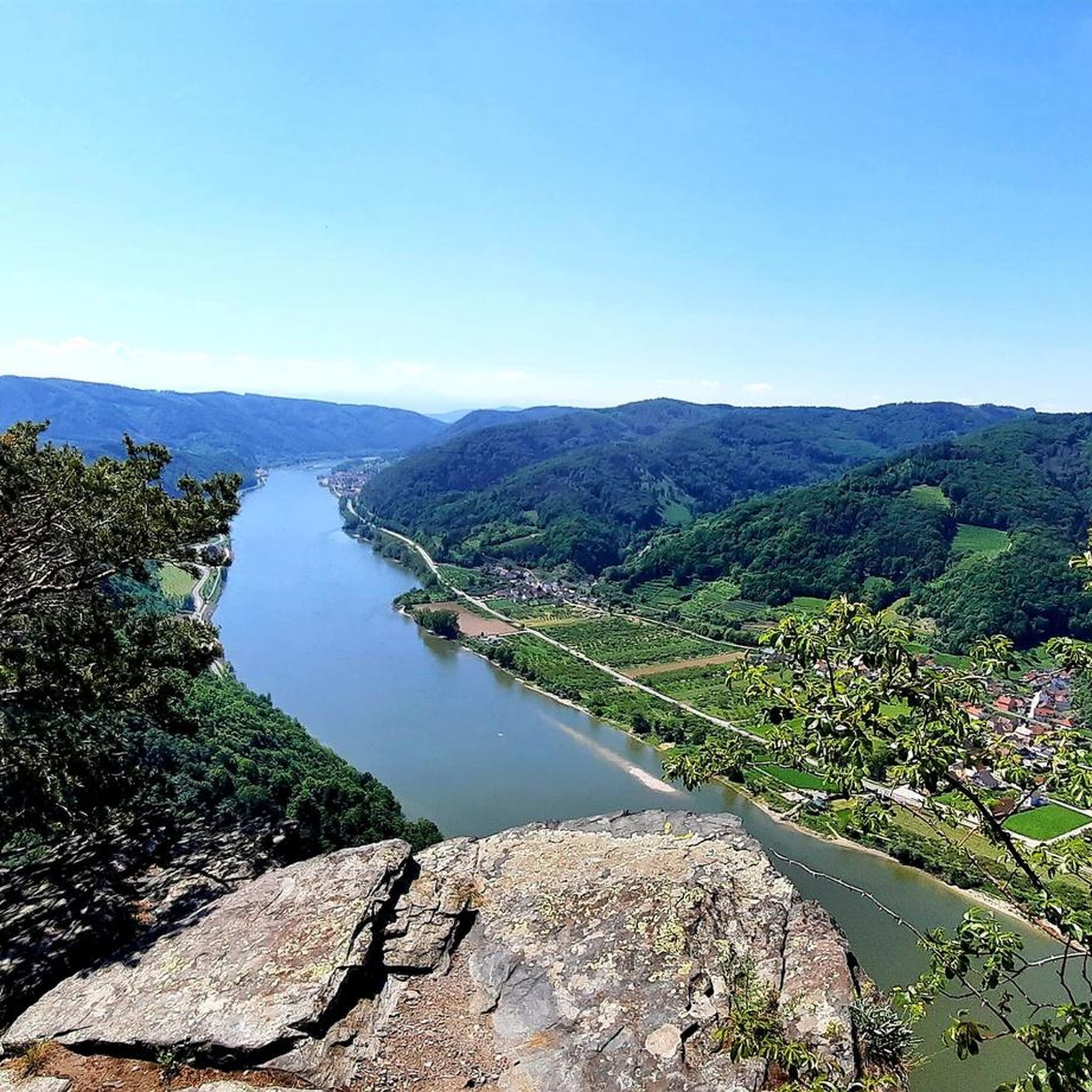
Many routes in Dunkelsteinerwald provide stunning views of the Danube valley and the Wachau cultural landscape. Due to its proximity to the river, especially between Melk and Mautern, cyclists can enjoy grand panoramas from various points, including near the medieval Aggstein Castle ruins.
Most popular routes in Dunkelsteinerwald
Most popular attractions in Dunkelsteinerwald

Get inspired with the komoot mobile app


Explore more
Browse the best Cycling routes in other regions.
