The best gravel rides around Bailey'S Crossroads
67
riders
8
rides
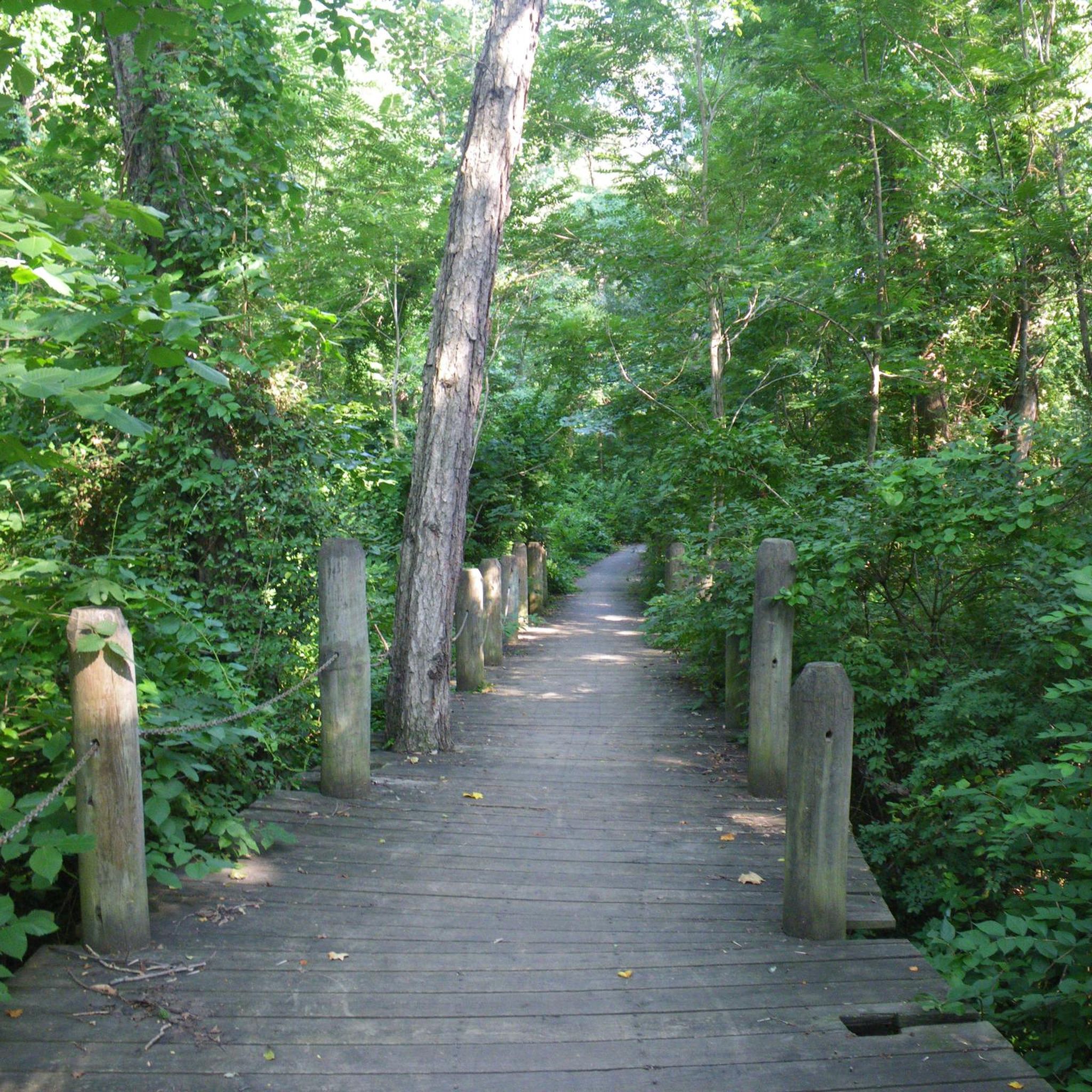
Gravel biking around Bailey'S Crossroads serves as a gateway to the diverse terrain of Northern Virginia. The region features a mix of unpaved roads, rolling hills, and scenic routes through riverine environments. Riders can expect varied surfaces, including gravel and dirt, often traversing natural paths within local parks and connecting to broader regional trail systems. The area provides access to an extensive network of trails suitable for gravel biking, including sections of the Holmes Run Trail with stonedust surfaces.
Best…
Last updated: October 3, 2026
16
riders
Hard gravel ride. Very good fitness required. Mostly paved surfaces. Suitable for all skill levels.
13
riders
Moderate gravel ride. Good fitness required. Mostly paved surfaces. Suitable for all skill levels.

4
riders
Hard gravel ride. Very good fitness required. Mostly paved surfaces. Suitable for all skill levels.
9
riders
21.8km
01:32
120m
120m
Easy gravel ride. Great for any fitness level. Mostly paved surfaces. Suitable for all skill levels.
7
riders
Easy gravel ride. Great for any fitness level. Mostly paved surfaces. Suitable for all skill levels.
Get access to more routes and recommendations from other explorers.
Already have an account?
Our route recommendations are based on thousands of hikes, rides, and runs completed by other people on komoot.
Start today with a free account
Your next adventure awaits.
Tips from the Community


Great bike shop, coffee, and after ride refreshment. Beer and Wine.
0
0

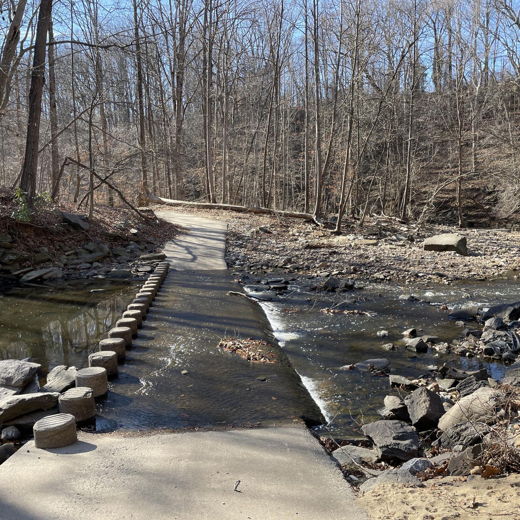
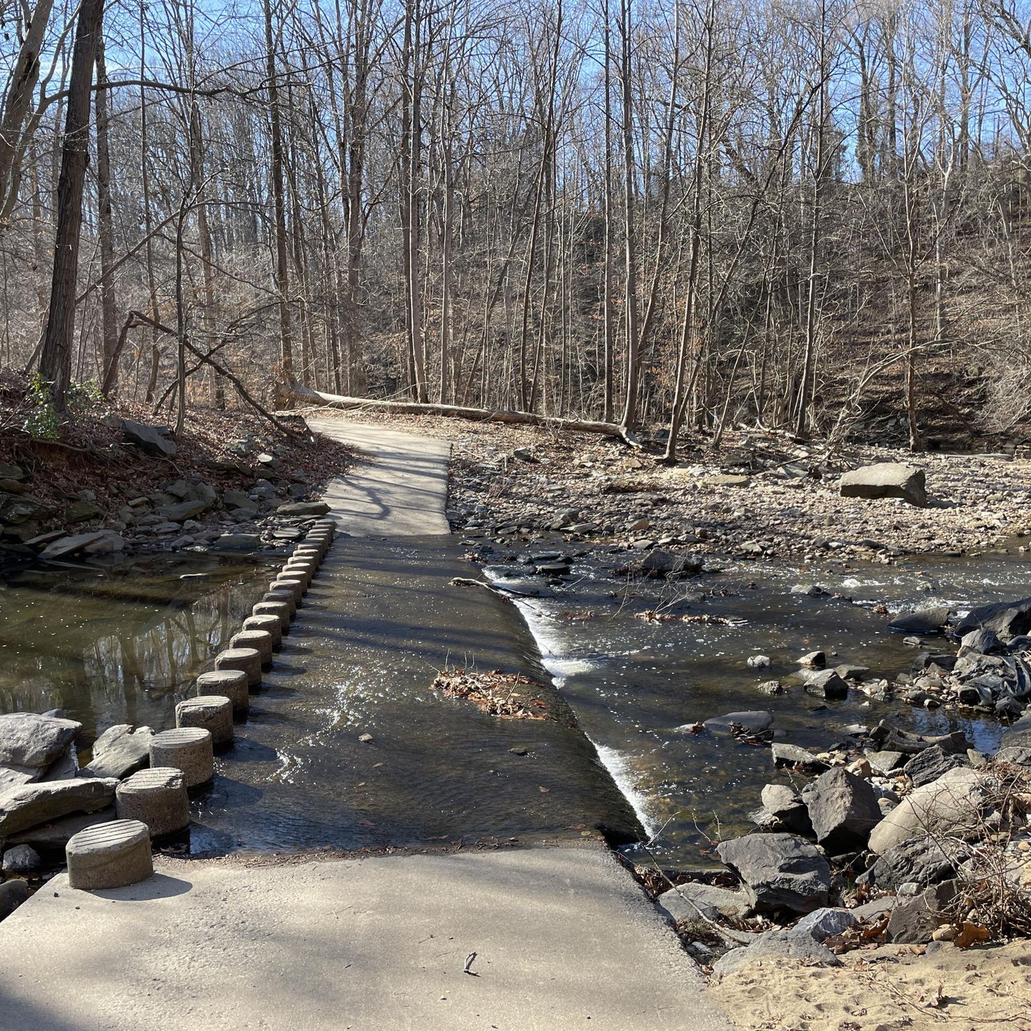
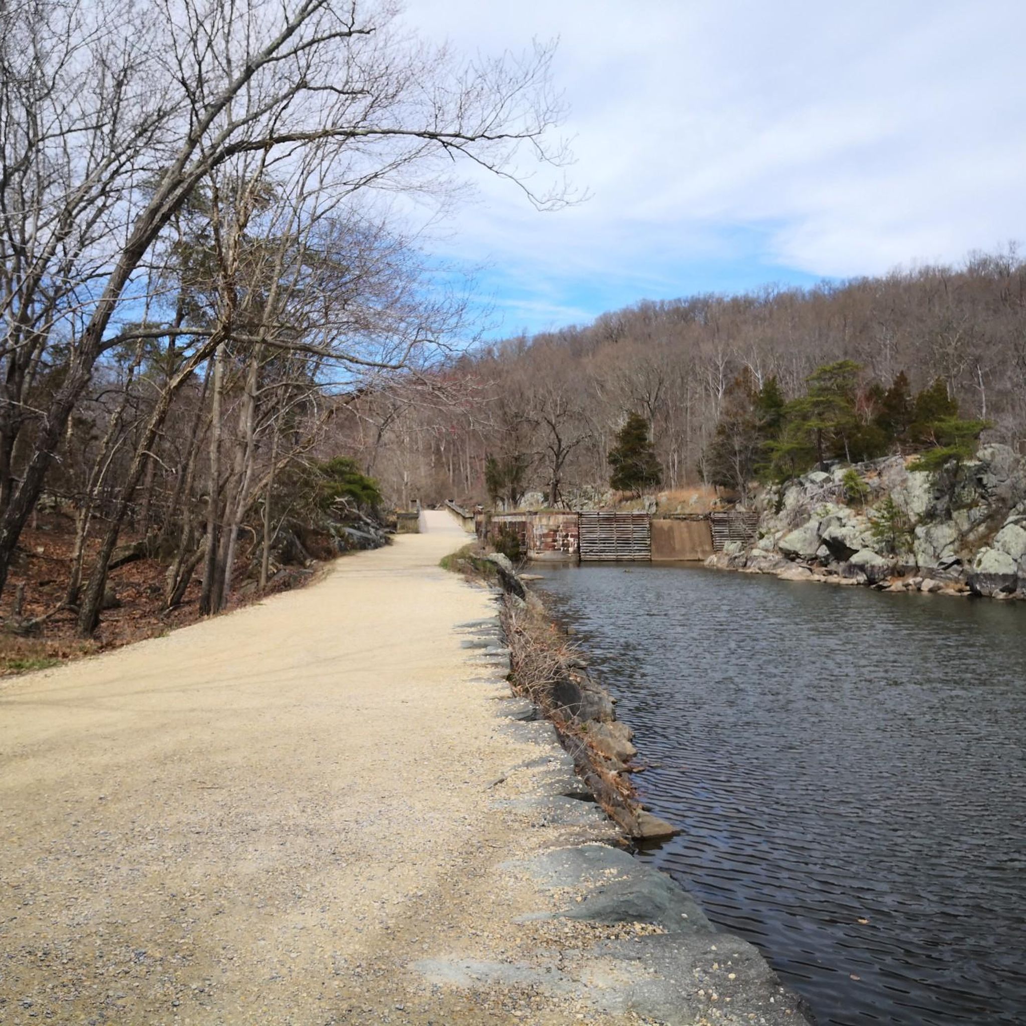
The creek’s banks are often lined with a mix of mature trees, and some interesting rock formations along the water's edge, worn smooth by years of flowing water.
0
0

Bike shop with service area, beer, bathrooms, energy supplies and bike pumps!
0
0
Great place for coffee and food. Usually have free water available by the W&OD trail if you need rehydration on route!
0
0
Great cycle shop with coffee, beer, snacks, energy bars,restrooms and super helpful staff. They have bike pumps available as well as a fully functioning bike servicing shop.
0
0

The Mount Vernon Trail is a beautiful 18-mile paved multi-use trail. It runs from Mount Vernon to Theodore Roosevelt Island. This stretch runs through Daingerfield Island and has great views of the Potomac River.
0
0
Frequently Asked Questions
How many gravel bike trails are available around Bailey's Crossroads?
There are over 10 gravel bike trails available around Bailey's Crossroads, offering a variety of experiences for different skill levels.
What kind of terrain can I expect on gravel bike trails near Bailey's Crossroads?
The region around Bailey's Crossroads, particularly Northern Virginia, offers diverse terrain. You can expect a mix of unpaved roads, dirt paths, and some challenging climbs, often traversing historic areas with stone walls, countryside views, and riverine environments. Routes may include sections along the Potomac River or through rolling hills.
Are there gravel bike trails suitable for beginners or families?
Yes, there are options for various skill levels. For beginners or families, you can find easy routes like the Potomac River – Crossing Over the C&O Canal loop from Foggy Bottom–GWU, which is 11.4 miles (18.4 km) long. While the guide lists 5 easy tours, always check the route details for specific family-friendly features.
What are some scenic highlights or landmarks I might see along the gravel bike trails?
Many routes offer scenic views along the Potomac River, especially those utilizing the C&O Canal. While riding, you might pass by significant landmarks such as the World War II Memorial or the Korean War Veterans Memorial, particularly on routes closer to Washington D.C. The region also features natural beauty like the Japanese Cherry Trees and various lakes such as Tidal Basin and Lake Accotink.
Are there any circular gravel bike routes available?
Yes, many of the gravel bike routes around Bailey's Crossroads are designed as loops. For example, the Francis Scott Key Bridge – Horseshoe Bend at Great Falls loop from East Falls Church is a popular circular route, as is the Crossing Over the C&O Canal – Francis Scott Key Bridge loop from Glover Park.
What do other gravel bikers enjoy most about the trails in this area?
The gravel biking routes around Bailey's Crossroads are highly rated by the komoot community, with an average score of 4.9 stars from over 8 reviews. Riders often praise the varied terrain, scenic riverine environments, and the extensive network of trails that connect to areas like the C&O Canal and the Washington & Old Dominion Trail.
Can I bring my dog on the gravel bike trails?
While many trails in the broader Northern Virginia area are dog-friendly, it's essential to check specific regulations for each route or park. Trails like the C&O Canal Towpath generally allow leashed dogs, but always confirm local rules before heading out.
What is the best time of year for gravel biking around Bailey's Crossroads?
Spring and fall generally offer the most pleasant conditions for gravel biking in Northern Virginia, with mild temperatures and beautiful scenery. Summer can be hot and humid, while winter may bring colder temperatures and potential for snow or ice, affecting trail conditions. Always check the weather forecast before your ride.
Are there any challenging gravel bike routes for experienced riders?
Yes, experienced riders can find more challenging options. The W&OD Trail — Leesburg section – Green Lizard Cycling, Herndon loop from East Falls Church is a difficult 71.5 miles (115.0 km) path with significant elevation gain, utilizing the Washington & Old Dominion Trail and connecting to Loudoun County's varied surfaces.
Where can I find parking for gravel bike trails near Bailey's Crossroads?
Parking availability varies by trailhead. For routes accessing the C&O Canal or W&OD Trail, there are often designated parking areas at various access points. For example, routes starting from East Falls Church or Glover Park typically have nearby parking options. It's recommended to check the specific tour details on komoot for parking information related to your chosen route.
Are there any amenities like cafes or restrooms along the gravel bike routes?
Many routes, especially those that pass through or near towns like Herndon or Leesburg, or along popular trails like the W&OD and C&O Canal, will have access to amenities such as cafes, restaurants, and restrooms. It's a good idea to plan your route and check for available services beforehand, especially on longer rides.
How do trail conditions change after rain?
After rain, unpaved gravel and dirt sections of trails can become muddy, soft, or slippery. Some areas, particularly those in riverine environments or with poor drainage, might be impassable. It's always best to allow trails to dry out for a day or two after significant rainfall to ensure a safer and more enjoyable ride.
Most popular attractions around Bailey'S Crossroads

Get inspired with the komoot mobile app


Explore more
Browse the best Gravel rides in other regions.
