The best cycling routes around Bailey'S Crossroads
4.5
(629)
5,633
riders
184
rides
Touring cycling around Bailey'S Crossroads, Virginia, offers access to a network of regional trails and local parks. The area is characterized by a mix of urban environments, green spaces, and stream valleys, providing varied cycling experiences. The terrain generally features gentle slopes and flat paths, suitable for a range of abilities, with rolling hills present in the broader region. It serves as a gateway to extensive paved multi-use trails and connections to natural features like the Holmes Run Stream Valley.
…Last updated: October 5, 2026
4.6
(5)
81
riders
26.7km
01:36
170m
170m
Moderate bike ride. Good fitness required. Mostly paved surfaces. Suitable for all skill levels.
5.0
(1)
45
riders
Easy bike ride. Great for any fitness level. Mostly paved surfaces. Suitable for all skill levels.

3.0
(1)
26
riders
Moderate bike ride. Good fitness required. Mostly paved surfaces. Suitable for all skill levels.
4.0
(4)
41
riders
20.7km
01:13
90m
90m
Easy bike ride. Great for any fitness level. Mostly paved surfaces. Suitable for all skill levels.
3.0
(1)
20
riders
8.34km
00:30
50m
50m
Easy bike ride. Great for any fitness level. Mostly paved surfaces. Suitable for all skill levels.
Get access to more routes and recommendations from other explorers.
Already have an account?
Our route recommendations are based on thousands of hikes, rides, and runs completed by other people on komoot.
Start today with a free account
Your next adventure awaits.

Tips from the Community

The Mount Vernon Trail is a beautiful 18-mile paved multi-use trail. It runs from Mount Vernon to Theodore Roosevelt Island. This stretch runs through Daingerfield Island and has great views of the Potomac River.
0
0

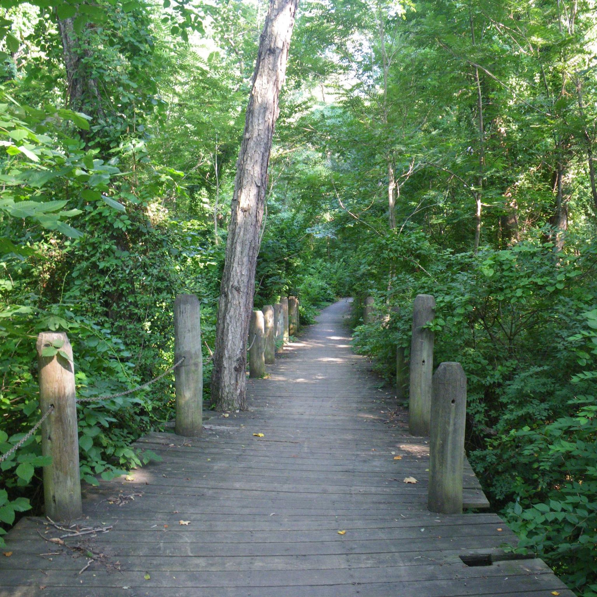
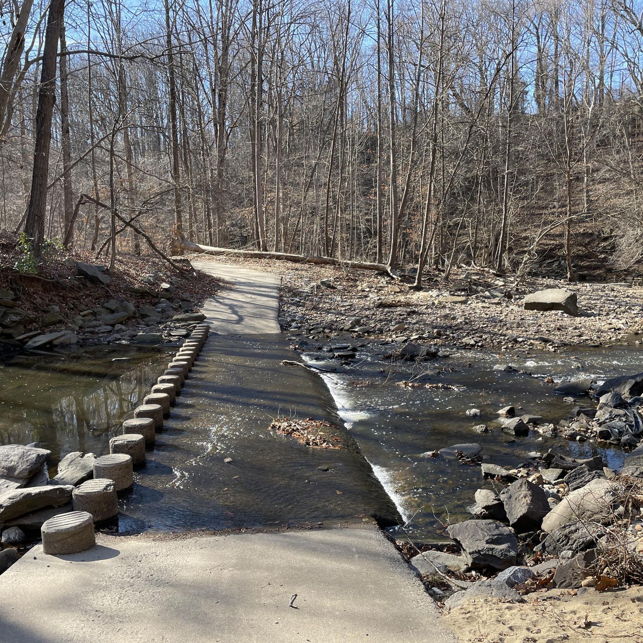
This small park is tucked into a wooded stream valley, just steps away from the urban bustle. Roll in on shaded trails, listen to the burbling creek, and pause on a bench for a calm moment away from traffic. You’ll find water fountains, playgrounds, picnic areas, and a small garden—perfect for a quick reset mid-ride.
0
0
West End Park sits right off the W&OD—an easy spot to roll in, catch some shade, and take a quick break. The path has a few root bumps, so slow down and enjoy the greenery. There’s also a water fountain where you can refill before getting back on the trail.
1
0

Founders Park is a great park on the banks of the Potomac River. There are some gravel walking paths that wind through the park.
0
0

The Bluemont Caboose, now housed on a specially built rail bed behind the Bluemont Community Center, is a historical bit of the Washington and Old Dominion Railroad's (W&OD) legacy. Once a key transportation corridor in Northern Virginia, the W&OD connected Alexandria to Bluemont at the Blue Ridge Mountains' base. The railway provided a boost in regional development, agriculture, and tourism from 1859 until its closure in 1968. After the railroad tracks were removed, much of the route was transformed into rail trails. The Bluemont Citizens Association, in collaboration with the county Department of Parks and Recreation, restored the caboose into a museum showcasing railroad memorabilia and community history.
0
0

Gravelly Point Park is overseen by the Nation Park Service as it lies within the George Washington Memorial Parkway. This unique location gives visitors an amazing opportunity to see planes taking off and landing at Ronald Reagan Washington National Airport. There is also an excellent view of the Washington Monument on the other side of the Potomac.
1
0
The Roaches Run Waterfowl Sanctuary is a nature reserve that is home to many different types of birds and waterfowl. It is a popular spot to try to see osprey, green heron, and mallards. The Mount Vernon Trail runs along the perimeter of the reserve.
0
0
Frequently Asked Questions
How many touring cycling routes are available around Bailey's Crossroads?
There are over 160 touring cycling routes around Bailey's Crossroads, offering a wide range of options for different skill levels and preferences. This includes more than 100 easy routes, 57 moderate routes, and a few more challenging options.
What kind of terrain can I expect on touring cycling routes in Bailey's Crossroads?
The terrain around Bailey's Crossroads generally features gentle slopes and flat paths, making it suitable for a range of abilities. Many routes utilize extensive paved trail networks, such as the W&OD Trail and Mount Vernon Trail, which are known for their smooth surfaces. Some regional connections, like parts of the Holmes Run Trail or the Cross County Trail, may include unpaved sections or stone dust, offering a more varied experience.
Are there any easy touring cycling routes suitable for beginners or families?
Yes, Bailey's Crossroads offers over 100 easy touring cycling routes. A great option for a pleasant ride through local parks and suburban areas is the Bluemont Caboose – Bon Air Park loop from Agudas Achim Synagogue, which is 14.3 miles (23.0 km) long. Another easy route leading through urban green spaces is the Bluemont Caboose – Crossman Park loop from Foreign Service Institute, covering 9.2 miles (14.7 km).
Can I find any circular touring cycling routes in the area?
Yes, many of the touring cycling routes around Bailey's Crossroads are designed as loops, allowing you to start and end at the same point. A popular example is the Custis, Washington-Old Dominion, and Mount Vernon Trail Loop, which is a 20.6-mile (33.2 km) route connecting several major regional trails. Another excellent loop is the Bluemont Caboose – Four Mile Run Trail loop from Sunset Manor, covering 15.1 miles (24.3 km).
What are some notable landmarks or natural features I can see along the touring cycling routes?
Touring cycling routes around Bailey's Crossroads provide access to various natural features and significant landmarks. You can explore the scenic Holmes Run Stream Valley, which offers opportunities to enjoy nature. For those venturing further on connected trails, you might encounter iconic Washington D.C. landmarks such as the Lincoln Memorial, the World War II Memorial, or even the Washington Monument. Additionally, several parks like Spring Lane Park and Skyline Park offer lush greenery and tranquil settings.
Are there options for longer-distance touring cycling from Bailey's Crossroads?
Absolutely. Bailey's Crossroads serves as an excellent starting point for longer touring cycling adventures due to its connectivity to extensive regional trail systems. The 45-mile paved Washington & Old Dominion (W&OD) Trail and the 18-mile paved Mount Vernon Trail are easily accessible, allowing for extended rides through diverse landscapes, from urban areas to countryside and along the Potomac River.
What do other touring cyclists say about the routes in Bailey's Crossroads?
The touring cycling routes around Bailey's Crossroads are highly rated by the komoot community, with an average score of 4.5 stars from over 400 reviews. Cyclists often praise the extensive paved trail networks, the diverse scenery ranging from urban green spaces to stream valleys, and the excellent connectivity to major regional routes like the W&OD and Mount Vernon Trails.
Are the touring cycling routes around Bailey's Crossroads suitable for dogs?
Many multi-use trails in the Northern Virginia area, including those accessible from Bailey's Crossroads, are dog-friendly, provided dogs are kept on a leash. It's always best to check specific trail regulations before heading out. Local parks like Spring Lane Park and Skyline Park also offer green spaces where leashed dogs are generally welcome.
Where can I find parking for touring cycling routes in Bailey's Crossroads?
Parking is generally available at various access points along the major regional trails connected to Bailey's Crossroads. Many local parks, such as Spring Lane Park and Skyline Park, also offer parking facilities. For specific routes, it's advisable to check the route details on komoot, as many tours include information about nearby parking options.
What is the best time of year for touring cycling in Bailey's Crossroads?
Spring and fall generally offer the most pleasant conditions for touring cycling in Bailey's Crossroads, with mild temperatures and beautiful foliage. Summer can be hot and humid, while winter can bring colder temperatures and occasional snow or ice, though many paved trails remain accessible. Always check the weather forecast before your ride.
Can I access these touring cycling routes using public transport?
Bailey's Crossroads is part of a well-connected region, and many public transport options, including bus services, can provide access to areas near the trailheads. The Fairfax County government is actively working to improve pedestrian and bicycle access in the corridor, which includes enhancing connectivity to public transport hubs. Check local transit schedules and bike-on-bus policies for the most up-to-date information.
Are there any routes that connect to historical sites?
Yes, the regional trail network accessible from Bailey's Crossroads offers connections to significant historical sites. The Mount Vernon Trail, for instance, runs alongside the Potomac River and links to historical sites like George Washington's Mount Vernon Estate and Old Town Alexandria, providing a rich historical context to your ride.
Most popular attractions around Bailey'S Crossroads

Get inspired with the komoot mobile app


Explore more
Browse the best Cycling routes in other regions.
