The best road cycling routes around Bailey'S Crossroads
4.2
(144)
7,629
riders
181
rides
Road cycling around Bailey'S Crossroads offers a mix of urban and parkland routes, characterized by waterfront paths and green spaces. The terrain generally features gentle hills and moderate elevation gains, making it accessible for various skill levels. The area benefits from its proximity to major regional trails like the Washington & Old Dominion Trail and the Mount Vernon Trail. These routes provide diverse settings for road cyclists seeking both leisurely rides and more challenging distances.
Best road cycling routes around…
Last updated: August 11, 2026
4.5
(4)
442
riders
Moderate road ride. Good fitness required. Mostly well-paved surfaces and easy to ride.
21
riders
18.0km
00:48
130m
130m
Easy road ride. Great for any fitness level. Mostly well-paved surfaces and easy to ride.

Sign up for free
53
riders
18.9km
00:51
90m
90m
Easy road ride. Great for any fitness level. Mostly well-paved surfaces and easy to ride.
20
riders
64.9km
02:56
610m
610m
Moderate road ride. Good fitness required. Mostly well-paved surfaces and easy to ride.
42
riders
Easy road ride. Great for any fitness level. Mostly well-paved surfaces and easy to ride.
Get access to more routes and recommendations from other explorers.
Sign up for free
Already have an account?
Our route recommendations are based on thousands of hikes, rides, and runs completed by other people on komoot.
Start today with a free account
Your next adventure awaits.
Login or Signup
Tips from the Community

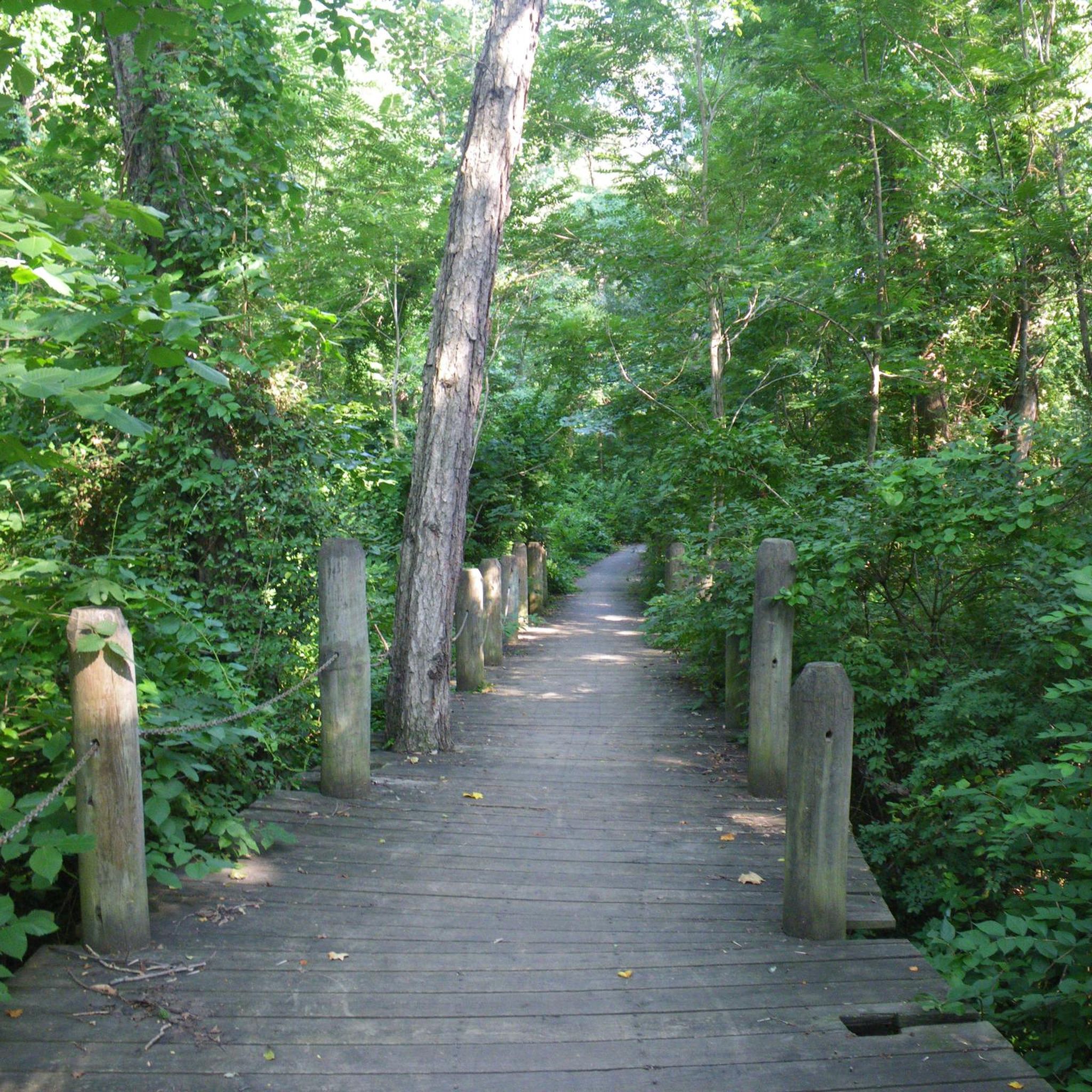
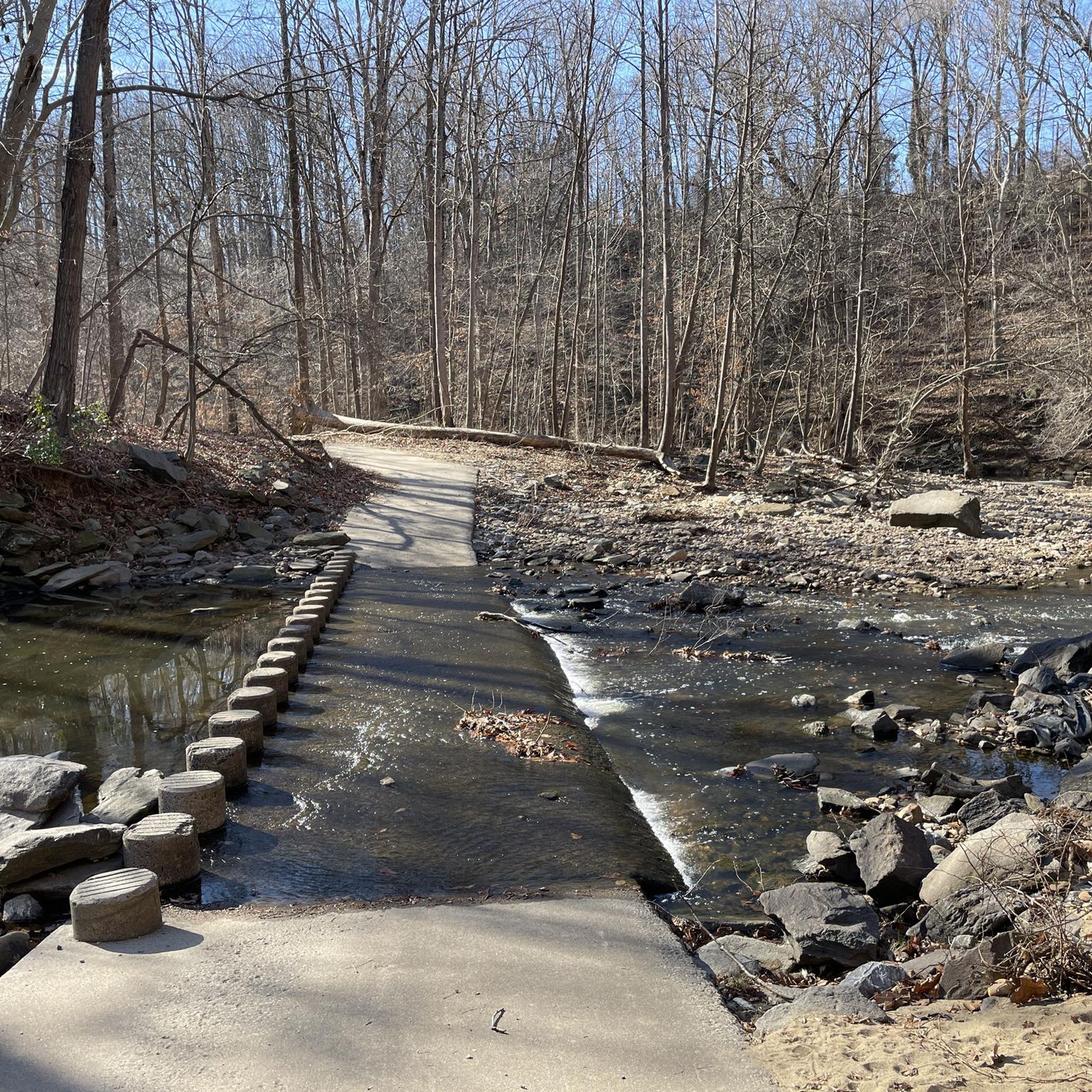
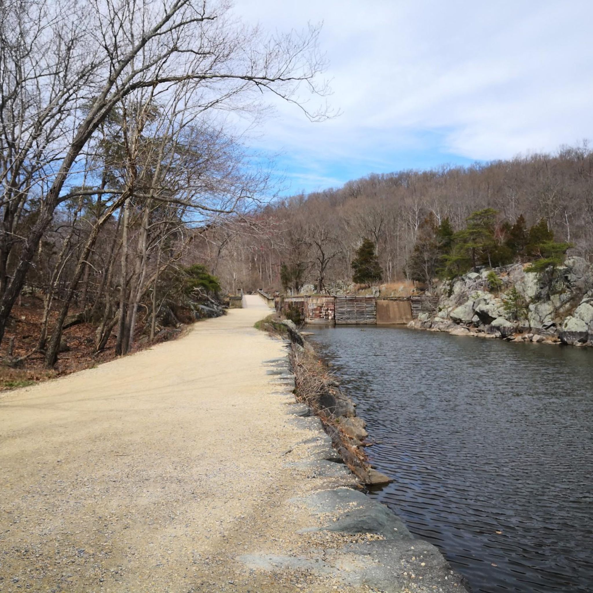
Gorgeous remote road and best access route to Riverbend Regional Park that does not pass through Great Falls NP. Be aware, in May 2026 there is resurfacing underway so half the road is rough-surfaced and uneven. Slow speed and caution recommended.
0
0


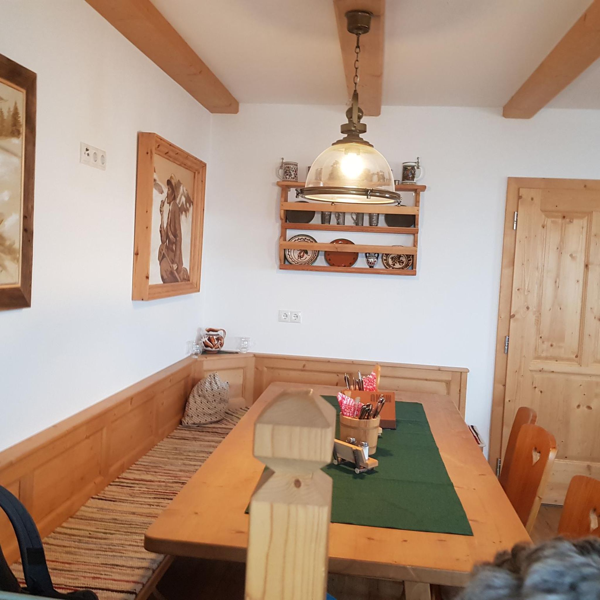
Great bike shop, coffee, and after ride refreshment. Beer and Wine.
0
0

Bike shop with service area, beer, bathrooms, energy supplies and bike pumps!
0
0
Great place for coffee and food. Usually have free water available by the W&OD trail if you need rehydration on route!
0
0
Great cycle shop with coffee, beer, snacks, energy bars,restrooms and super helpful staff. They have bike pumps available as well as a fully functioning bike servicing shop.
0
0

The Mount Vernon Trail is a beautiful 18-mile paved multi-use trail. It runs from Mount Vernon to Theodore Roosevelt Island. This stretch runs through Daingerfield Island and has great views of the Potomac River.
0
0
Frequently Asked Questions
How many road cycling routes are available around Bailey's Crossroads?
There are over 200 road cycling routes around Bailey's Crossroads, offering a diverse range of options for all skill levels. This includes 97 easy routes, 101 moderate routes, and a few more challenging options.
Are there road cycling routes suitable for beginners or families in Bailey's Crossroads?
Yes, Bailey's Crossroads is very welcoming for beginners and families, with nearly half of its routes classified as easy. Consider the Thomas Jefferson Memorial – Tidal Basin loop from Ballston–MU, an easy 16.8-mile path featuring iconic landmarks and waterfront views, or the Waterfront Park – Oronoco Bay Park loop from Agudas Achim Synagogue, which is 17.0 miles and leads through pleasant urban green spaces.
What is the typical elevation gain on road cycling routes in this area?
The terrain around Bailey's Crossroads generally features gentle hills and moderate elevation gains, making it accessible for various skill levels. For example, the easy Thomas Jefferson Memorial – Tidal Basin loop from Ballston–MU has an elevation gain of 122 meters, while the moderate Beach Drive in Rock Creek Park – Mount Zion Cemetery loop from Ballston–MU involves about 330 meters of ascent.
What kind of scenery can I expect on road cycling routes near Bailey's Crossroads?
Road cycling around Bailey's Crossroads offers a mix of urban and parkland scenery. You'll find routes winding through green spaces like Rock Creek Park, along waterfront paths by the Potomac River, and past iconic landmarks in Washington D.C. The region provides diverse settings for both leisurely rides and more challenging distances.
Are there any notable landmarks or attractions to see along the road cycling routes?
Many routes pass by significant landmarks. For instance, the Thomas Jefferson Memorial – Tidal Basin loop from Ballston–MU takes you past the World War II Memorial and the Lincoln Memorial. Other nearby attractions include the Washington Monument and the White House, which are often accessible from routes in the wider area.
What do other road cyclists say about the routes in Bailey's Crossroads?
The road cycling routes in Bailey's Crossroads are highly rated by the komoot community, with an average score of 4.4 stars from over 160 reviews. More than 9,000 road cyclists have used komoot to explore the varied terrain, often praising the scenic views and well-maintained paths through parks and along the waterfront.
Are there any longer or more challenging road cycling routes for experienced riders?
While the area is known for its accessible routes, there are options for more experienced riders. The Beach Drive in Rock Creek Park – Mount Zion Cemetery loop from Ballston–MU is a moderate 32.0-mile (51.5 km) trail that winds through Rock Creek Park, offering varied terrain and scenic views, taking approximately 2 hours 22 minutes to complete.
How long do road cycling routes typically take to complete?
Route durations vary significantly based on length and difficulty. Easy routes like the Four Mile Run Park loop from Agudas Achim Synagogue (16.9 km) can be completed in under an hour, while longer, moderate routes such as the Beach Drive in Rock Creek Park – Mount Zion Cemetery loop from Ballston–MU (51.5 km) typically take over two hours.
Is public transport available to access road cycling trailheads?
Given Bailey's Crossroads' proximity to Washington D.C. and its surrounding urban areas, many trailheads are accessible via public transport, particularly metro and bus services. Routes often start near metro stations like Ballston–MU, making it convenient to reach the starting points without a car.
Are there good options for parking near road cycling routes?
Parking availability varies by trailhead. Many urban parks and starting points for routes, especially those closer to D.C., offer designated parking areas. It's advisable to check specific route details on komoot for parking information related to your chosen starting point.
What is the best time of year for road cycling in Bailey's Crossroads?
Spring and fall generally offer the most pleasant conditions for road cycling in Bailey's Crossroads, with mild temperatures and beautiful foliage. Summer can be hot and humid, while winter can bring cold temperatures and occasional snow or ice, though many routes remain rideable on clear days.
Are there any less-known or 'hidden gem' road cycling routes in the area?
While many routes are popular, exploring paths slightly off the main thoroughfares can reveal quieter experiences. Routes like the Bluemont Caboose – Four Mile Run Trail loop from Signature Theatre offer a pleasant ride through local parks and along trails that might feel a bit more secluded than the busiest waterfront paths.
Most popular attractions around Bailey'S Crossroads

Get inspired with the komoot mobile app


Explore more
Browse the best Road cycling routes in other regions.
