The best gravel rides around Tamalpais-Homestead Valley
4.5
(21)
470
riders
33
rides
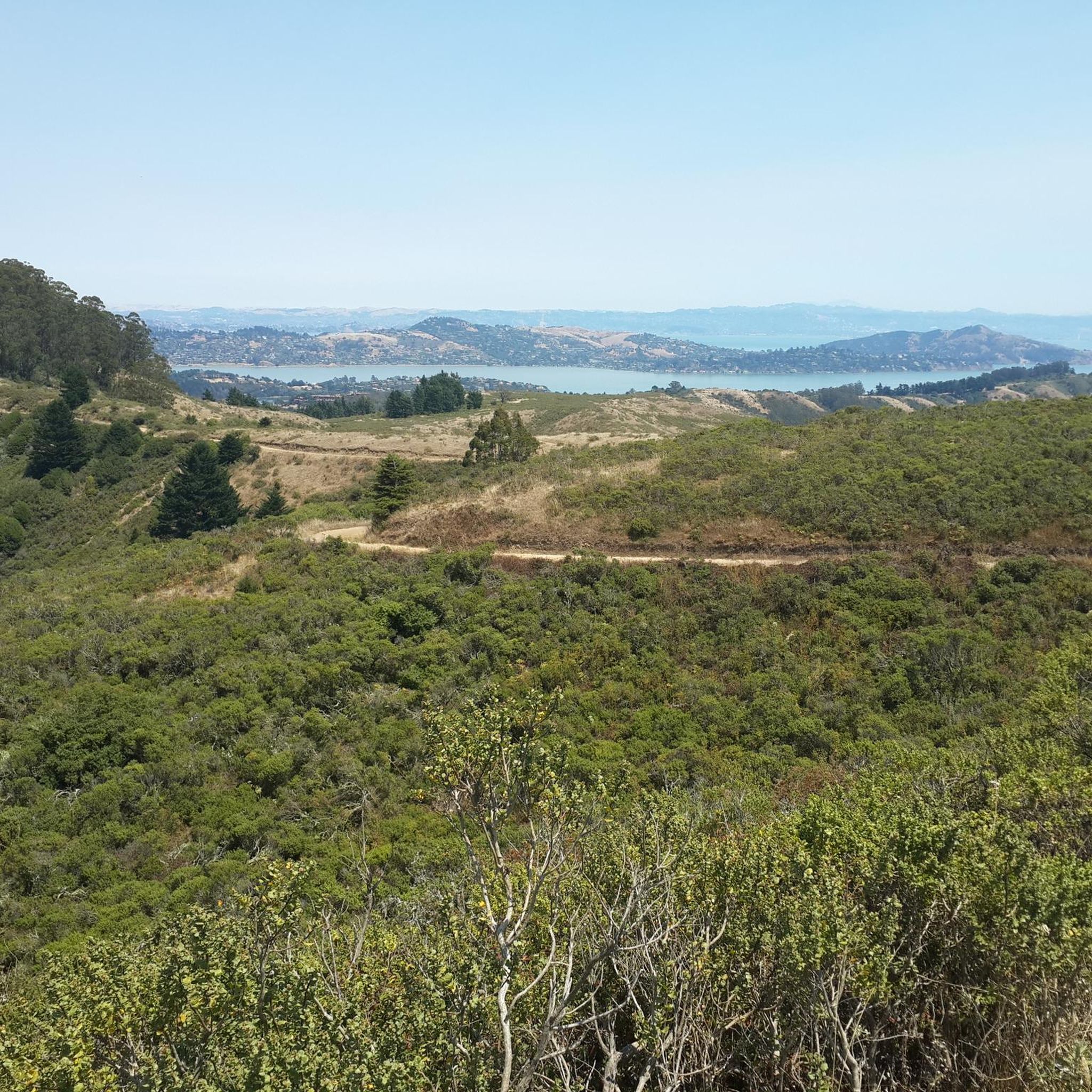
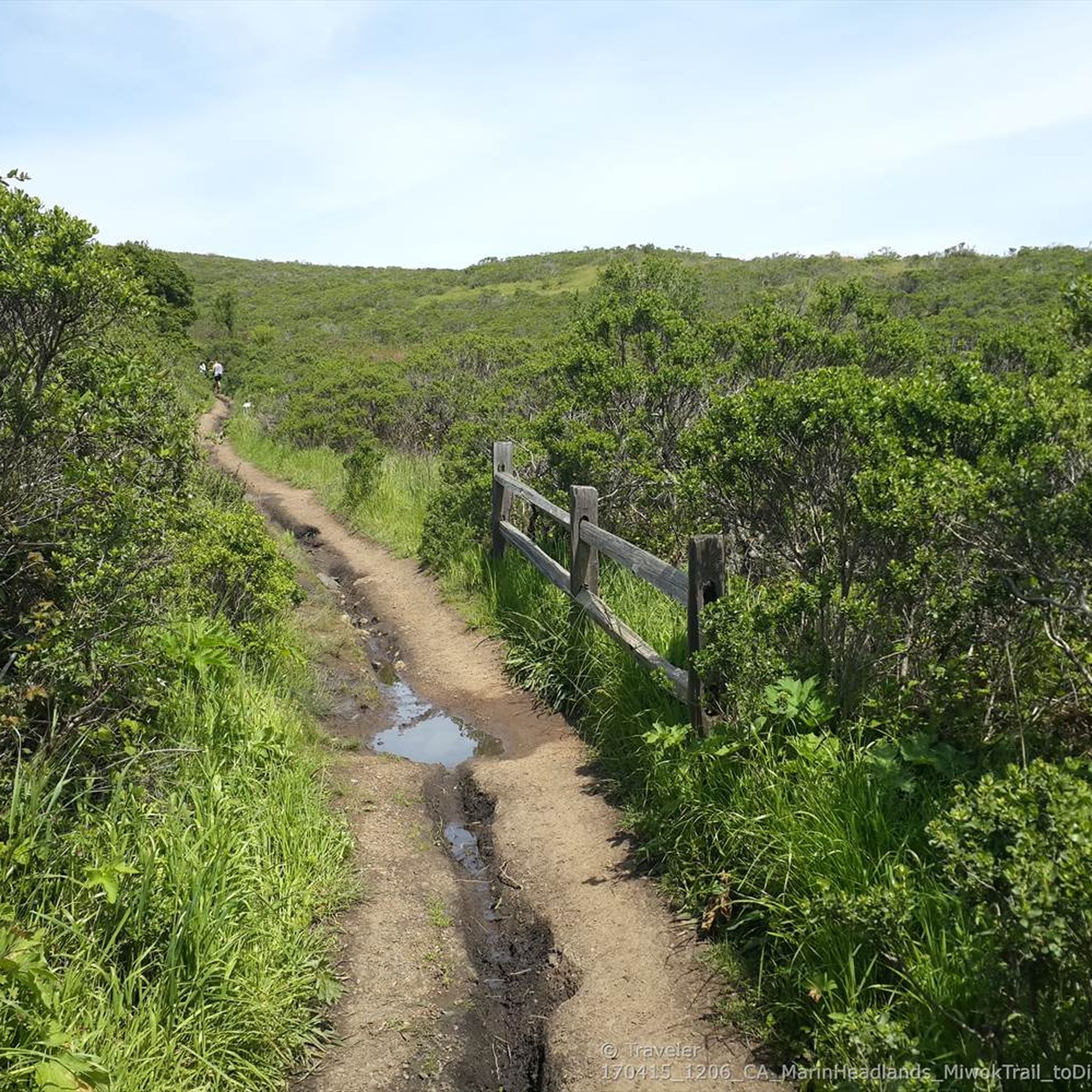
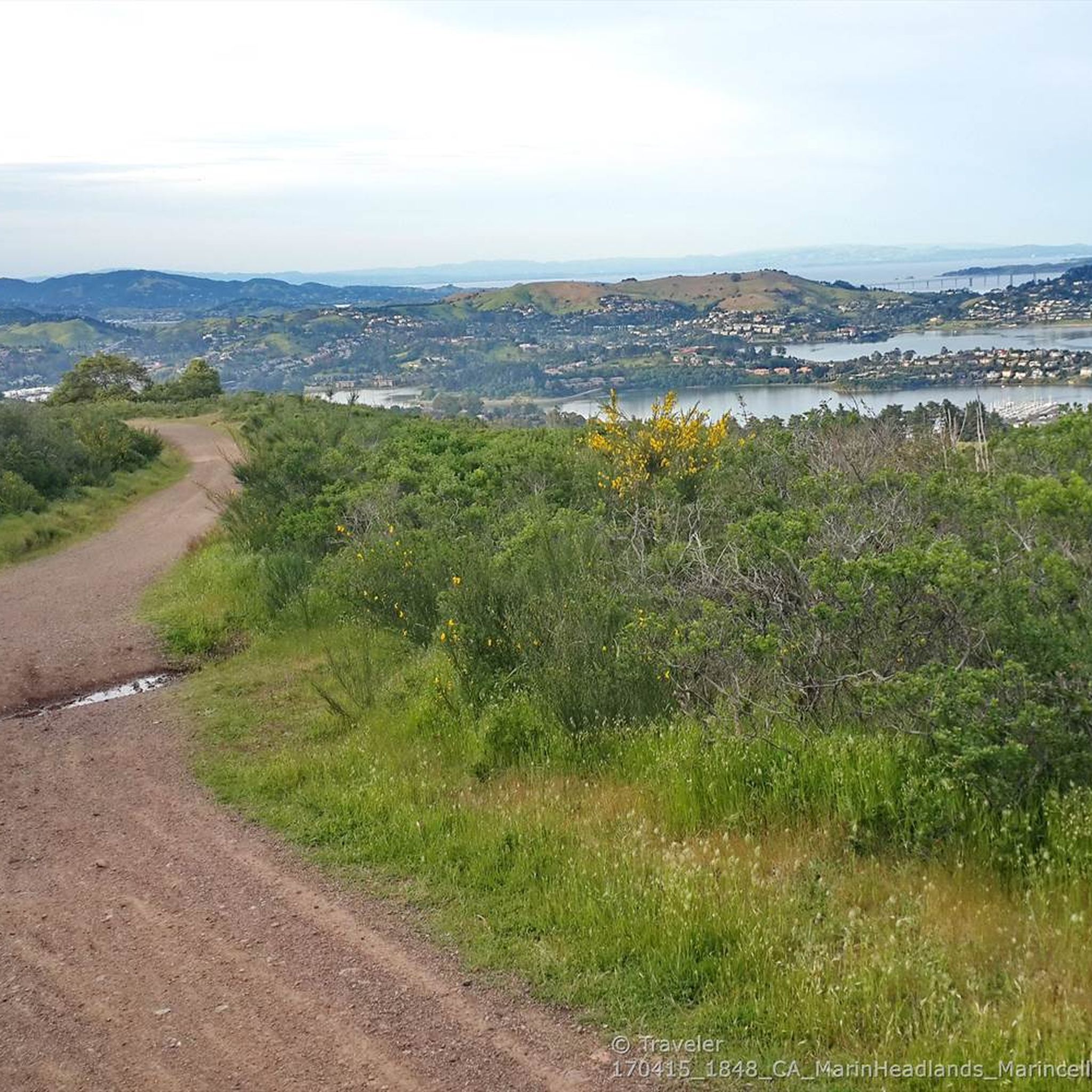
Gravel biking around Tamalpais-Homestead Valley is characterized by diverse terrain within Marin County, California. The region features the slopes of Mount Tamalpais, offering varied landscapes from rolling hills to redwood forests and coastal vistas. Extensive networks of fire roads provide numerous gravel biking opportunities. The area's ecosystems include mixed evergreen forests, grasslands, and riparian zones.
Best gravel bike trails around Tamalpais-Homestead Valley
- The most popular gravel bike trail is Pantoll Road loop from Mill Valley, a 21.5 miles (34.6 km) trail that takes 3 hours 34 minutes to complete. This route features significant elevation gain through varied terrain.
- Another top favourite among local gravel bikers is Railroad Grade Fire Road loop from Mill Valley, a difficult 15.2 miles (24.5 km) path. This route follows the historic Old Railroad Grade on Mount Tamalpais, offering a steady ascent with scenic views.
- Local gravel bikers also love the Old Mine Trail (lower) – Coast View Trail loop from Tamalpais-Homestead Valley, a 23.6 miles (38.1 km) trail leading through redwood forests and coastal viewpoints, often completed in about 4 hours 9 minutes.
- Gravel biking around Tamalpais-Homestead Valley is defined by the slopes of Mount Tamalpais, ancient redwood forests, and extensive fire road networks. The region offers routes for various ability levels, from challenging climbs to scenic loops.
- The routes in Tamalpais-Homestead Valley are highly rated by the komoot community with an average score of 4.5 stars from over 20 reviews. More than 500 gravel bikers have used komoot to explore Tamalpais-Homestead Valley's varied terrain.
Last updated: July 1, 2026
4.8
(6)
73
riders
47.4km
04:21
1,270m
1,270m
Hard gravel ride. Very good fitness required. Mostly paved surfaces. Suitable for all skill levels.
4.5
(2)
13
riders
27.8km
02:53
890m
890m
Hard gravel ride. Very good fitness required. Mostly paved surfaces. Suitable for all skill levels.

Sign up for free
5.0
(3)
76
riders
35.0km
03:01
930m
930m
Hard gravel ride. Very good fitness required. Mostly paved surfaces. Suitable for all skill levels.
15
riders
45.7km
03:59
1,180m
1,180m
The Phoenix Lake – Fish Gulch trail junction loop from Mill Valley offers a demanding yet incredibly scenic gravel biking adventure. You'll wind through diverse landscapes, from the cool shade of redwood forests to sun-drenched oak woodlands and open grasslands, with the promise of sweeping views of the Pacific Ocean and Golden Gate Bridge from higher points near Mount Tamalpais. This route is a true test of endurance, featuring steep and loose sections that demand very good fitness and bike handling skills.
Planning your ride requires a bit of foresight; while much of the loop is prime for gravel biking, be aware that the immediate trails around Phoenix Lake itself may not allow bikes. Parking is generally available in Mill Valley, but it's always wise to arrive early, especially on weekends, to secure a spot. Given the route's length and elevation, pack ample water and snacks, and consider starting early to make the most of the daylight.
This loop is a standout in the Mill Valley area, celebrated by local gravel bikers for its challenging terrain and the opportunity to combine dirt climbs with rewarding road descents. It showcases the region's extensive trail network and significant elevation gains, making it a prime destination for those looking to push their limits and experience the natural beauty of Marin County.
38
riders
63.5km
04:25
1,160m
1,160m
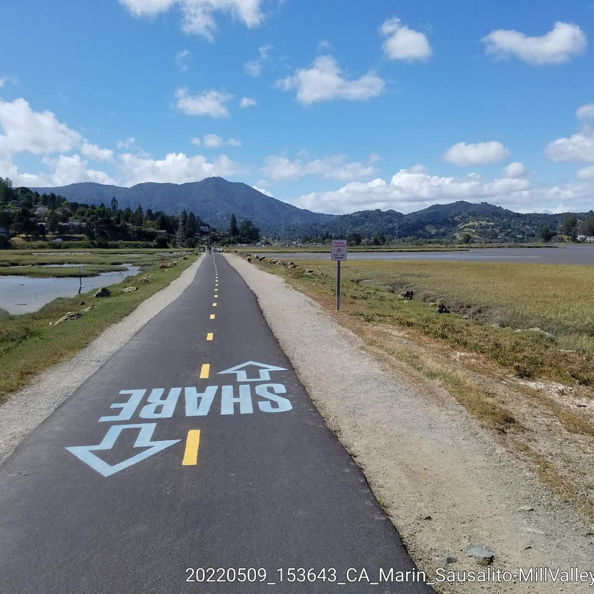
This Sausalito — Mill Valley Path – Alpine Dam loop from Marin City offers a varied cycling experience, blending flat paved multi-use paths with challenging road climbs and opportunities for gravel sections. You'll start with picturesque views of Richardson Bay and Mount Tamalpais from the Mill Valley-Sausalito Multiuse Pathway before ascending into the Mount Tam Watershed, where redwood forests and lakes provide a dramatic backdrop. The route culminates with panoramic vistas of the Pacific Ocean and San Francisco Bay from Ridgecrest, making it a truly iconic Marin County ride.
Rated as "difficult," this 39.5-mile (63.5 km) route involves a substantial 3794 feet (1156 metres) of elevation gain, typically taking around 4 hours and 24 minutes to complete. While the initial pathway is easy, the Alpine Dam loop introduces significant climbing, with steep and twisty sections that demand good fitness. Consider an early start to enjoy quieter roads, especially around Alpine Lake, and ensure you're prepared for a sustained effort.
Known as a "crown jewel" of Marin County cycling, this loop is celebrated for its diverse landscapes and stunning viewpoints. It offers excellent potential for gravel biking enthusiasts to integrate nearby fire roads and trails around Mount Tamalpais for an even greater mixed-surface challenge. The route also traces a former railroad corridor, connecting you to the rich history and natural beauty of the region.
Get access to more routes and recommendations from other explorers.
Sign up for free
Already have an account?
Our route recommendations are based on thousands of hikes, rides, and runs completed by other people on komoot.
Start today with a free account
Your next adventure awaits.
Login or Signup

Tips from the Community


Constructed in 1917 this dam forms Alpine Lake, which sites between Kent and Bon Tempe Lakes. The road across the top of the dam make it a great place to ride on a loop around the lake.
0
0
This lake was formed by the building of Alpine Dam in 1917. It sits between Kent Lake and Bon Tempe Lake, and is popular for a variety of outdoor activities.
0
0


From easiest to hardest climbs out of phoenix lake from this junction: -Shaver Grade, easy grade, longer, shaded and pretty -Eldridge Grade, medium, good length and can connect you to mt tam east peak -Fish Grade fire road, very steep, we hiked the bikes
1
0

Sausalito is a nice place to see (the skyline of) San Francisco from. But there is also a lot of tourism here and if you think you can eat cheaper here, you are unfortunately on the wrong track :-).
1
1

I've been coming here for 11 years. It's always my first contact with the ocean after landing at SFA. The smell of eucalyptus and the salt-soaked air
0
0
Frequently Asked Questions
What is the general difficulty level of gravel biking trails in Tamalpais-Homestead Valley?
Gravel biking in Tamalpais-Homestead Valley primarily features challenging routes. Out of 45 available tours, 33 are classified as difficult, and 12 as moderate. Riders should expect significant elevation gains and varied terrain, often on fire roads.
Are there any beginner-friendly gravel routes in the area?
While many routes are rated difficult, the historic Old Railroad Grade on Mount Tamalpais is often considered more accessible. It offers a wide and evenly graded ascent, making it a good option for those looking for a less technical ride, even with road bike tires. You can experience a portion of it on the Railroad Grade Fire Road loop from Mill Valley.
How many gravel bike trails are available in Tamalpais-Homestead Valley?
There are over 45 gravel bike trails available in Tamalpais-Homestead Valley, offering a wide range of options for exploration. These routes are highly rated by the komoot community, with an average score of 4.6 stars.
What kind of terrain can I expect on gravel bike trails around Mount Tamalpais?
The terrain around Mount Tamalpais is incredibly diverse. You'll encounter everything from rolling hills to dense redwood forests and stunning coastal vistas. Many routes utilize extensive networks of fire roads, which are ideal for gravel biking, alongside mixed evergreen forests, grasslands, and riparian zones.
Are there any notable viewpoints or landmarks along the gravel bike routes?
Absolutely. Mount Tamalpais itself offers breathtaking 360-degree views from its East Peak Summit. Along routes, you might pass the historic West Point Inn, a popular stop for cyclists. Trails also offer spectacular coastal views, especially from overlooks like Battery Spencer, providing sweeping views of the Golden Gate Bridge and the Pacific Ocean. The Old Mine Trail (lower) 🌲 – Coast View Trail loop from Tamalpais-Homestead Valley is known for its coastal viewpoints.
Can I find routes that pass by waterfalls or lakes?
Yes, the region features several beautiful natural water features. While gravel biking, you might encounter areas near Laurel Dell Falls or Carson Falls. For lakes, the Phoenix Lake – Fish Gulch trail junction loop from Mill Valley is a great option.
What is the best time of year for gravel biking in Tamalpais-Homestead Valley?
Thanks to its Mediterranean climate, characterized by warm, dry summers and mild, wet winters, Tamalpais-Homestead Valley is suitable for gravel biking year-round. However, spring and fall offer particularly pleasant temperatures and vibrant scenery. Winter rides are also possible, but be prepared for potentially wet conditions on trails.
Are there any loop gravel bike trails available?
Yes, many of the popular gravel routes in Tamalpais-Homestead Valley are designed as loops. Examples include the Pantoll Road loop from Mill Valley, the Railroad Grade Fire Road loop from Mill Valley, and the Bothin Marsh Preserve – Pantoll Road loop from Tamalpais-Homestead Valley.
What do other gravel bikers enjoy the most about gravel biking in Tamalpais-Homestead Valley?
The area is highly rated by the komoot community, with an average score of 4.6 stars from over 10 reviews. Reviewers often praise the diverse terrain, from redwood forests to coastal views, and the extensive network of fire roads that provide excellent gravel biking opportunities. The challenging climbs and rewarding panoramas are frequently highlighted.
Is public transport an option for accessing gravel trails in Tamalpais-Homestead Valley?
While specific public transport options directly to trailheads can vary, Marin County Transit provides bus services throughout the region. It's advisable to check local bus schedules and routes to see which lines might get you closest to your desired starting point. Some routes may require a short ride or walk to reach the trails.
Are there cafes or places to stop for refreshments near the gravel trails?
Yes, you'll find options for refreshments. The historic West Point Inn, accessible only by trail on Mount Tamalpais, is a popular and unique stop for cyclists. Additionally, the nearby towns like Mill Valley offer various cafes and eateries where you can refuel before or after your ride.
Are there any family-friendly gravel bike trails in Tamalpais-Homestead Valley?
While many routes feature significant elevation and are rated difficult, the more evenly graded sections of fire roads, such as parts of the Old Railroad Grade, can be suitable for families with older children or those comfortable with longer distances. Always check the specific route details for elevation and distance to ensure it matches your family's ability.
Most popular routes around Tamalpais-Homestead Valley
Most popular attractions around Tamalpais-Homestead Valley

Get inspired with the komoot mobile app


Explore more
Browse the best Gravel rides in other regions.
