The best cycling routes around Tamalpais-Homestead Valley
4.7
(378)
6,721
riders
20
rides
Touring cycling around Tamalpais-Homestead Valley offers diverse terrain, from coastal bluffs and rolling hills to redwood groves and mountain ascents. The region is characterized by prominent natural features such as Mount Tamalpais, providing significant elevation changes and panoramic views. Cyclists can explore a network of routes that traverse varied landscapes, including bay views and wetlands, offering a range of experiences.
Best touring cycling routes around Tamalpais-Homestead Valley
- The most popular touring cycling route is Marin Coastal Bike Route, a…
Last updated: August 31, 2026
71
riders
35.7km
02:44
890m
890m
Hard bike ride. Very good fitness required. Mostly paved surfaces. Suitable for all skill levels.
5.0
(3)
144
riders
Hard bike ride. Very good fitness required. Mostly paved surfaces. Suitable for all skill levels.

Sign up for free
27
riders
Moderate bike ride. Good fitness required. Mostly paved surfaces. Suitable for all skill levels.
25
riders
21.5km
01:32
420m
430m
Moderate bike ride. Good fitness required. Mostly paved surfaces. Suitable for all skill levels.
5.0
(1)
19
riders
Hard bike ride. Very good fitness required. Mostly paved surfaces. Suitable for all skill levels.
Get access to more routes and recommendations from other explorers.
Sign up for free
Already have an account?
Our route recommendations are based on thousands of hikes, rides, and runs completed by other people on komoot.
Start today with a free account
Your next adventure awaits.
Login or Signup

Tips from the Community

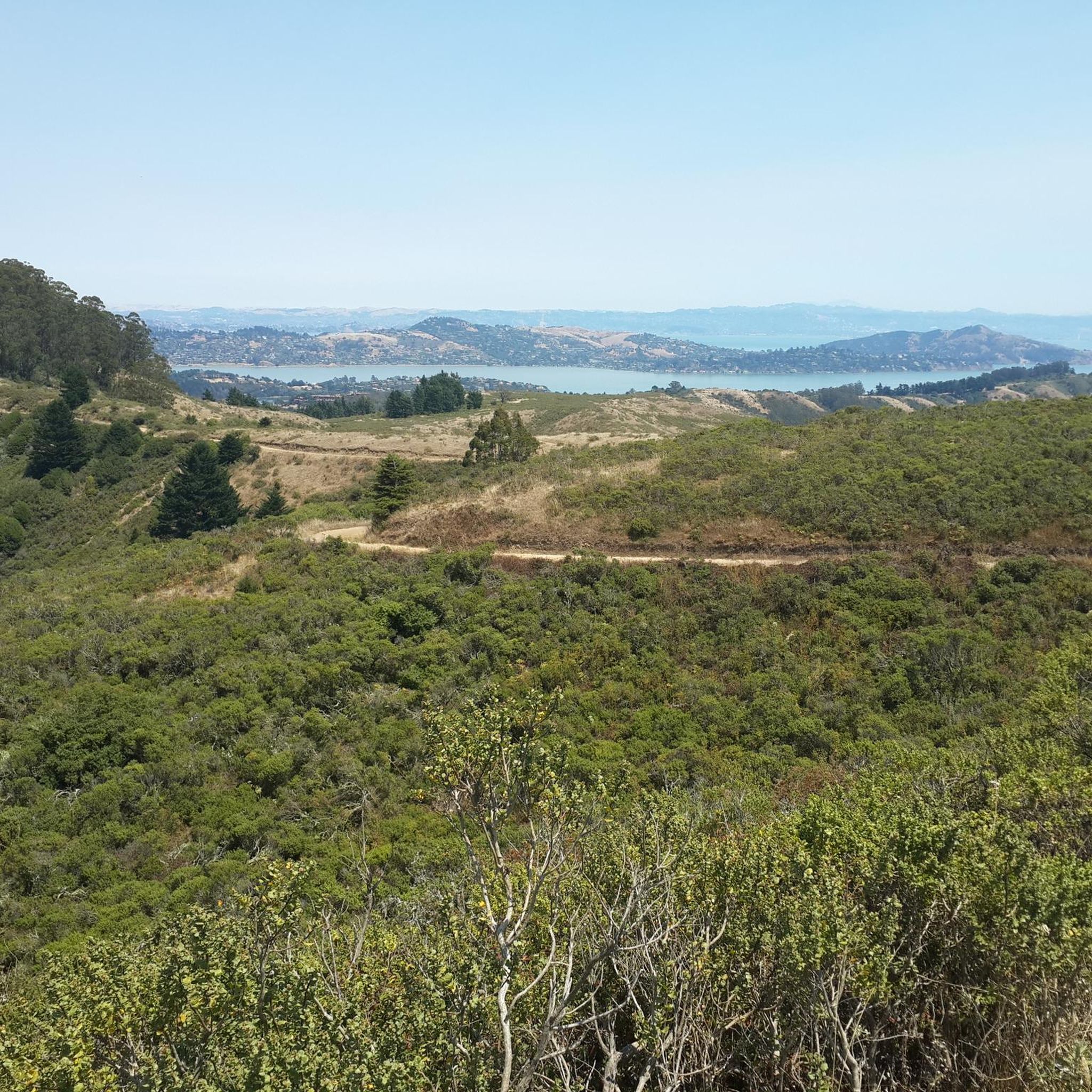
Climbing up Mount Tamalpais, you'll find many great spots for admiring the scenery, but this one particularly struck me because, almost immersed in nature, you can see the city skyline in the distance. I found it so moving that I stopped my bike and stood there contemplating the landscape for a few minutes. The climb is a bit steep, but it's definitely worth it!
0
0

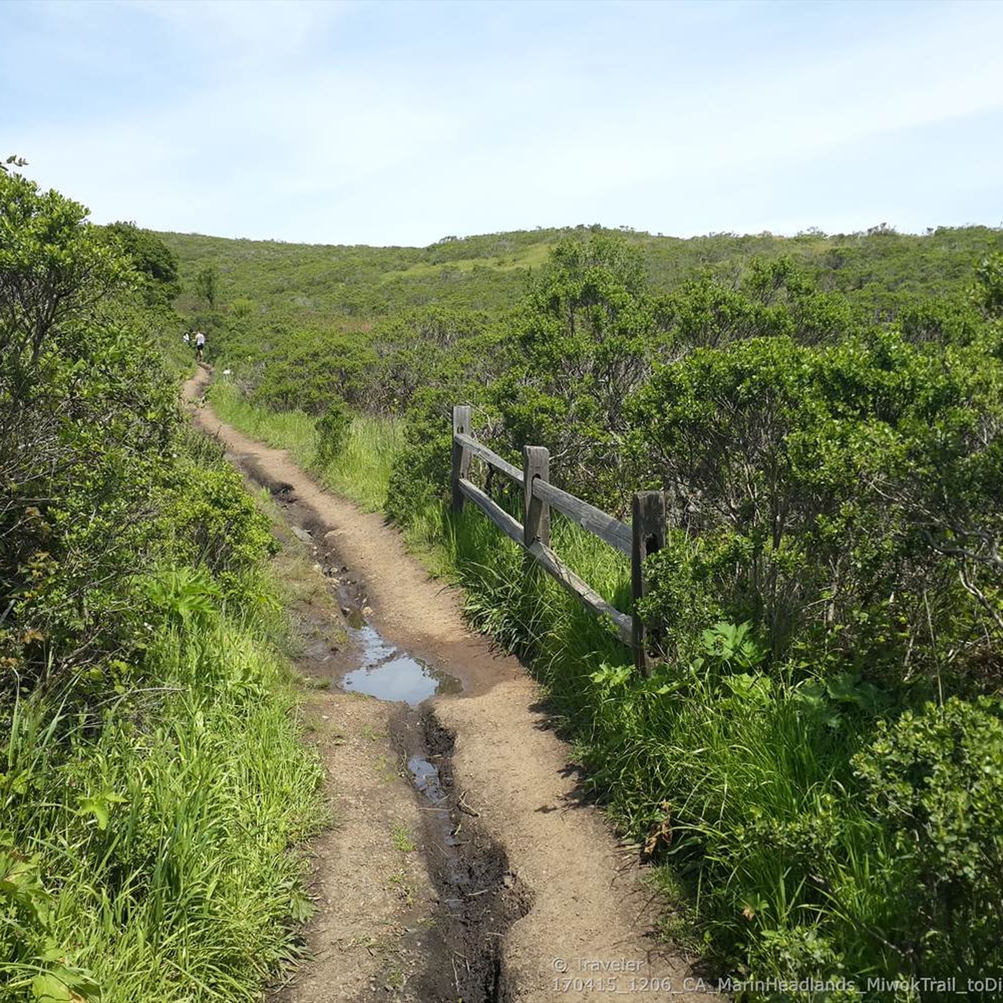
Nice downhill trail, more suitable for mountain bikes.
0
0

the typical boat houses north of San Francisco
1
0

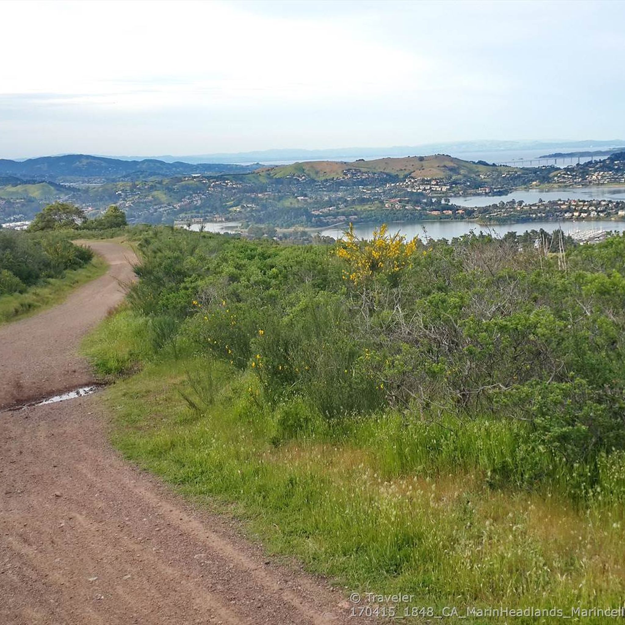
Good vantage point.
0
0

Mount Tam East Peak offers some of the most majestic views north of the bay. From this vantage point, you can see all of Marin, along with Point Reyes to the north and Oakland and San Francisco to the south. The stunning panoramic vistas make the journey well worth the effort. There are restrooms and picnic tables, ideal for a snack or lunch while you capture some incredible photos.
0
0

Sausalito’s floating homes form a lively and unique community of over 400 houseboats anchored in Richardson Bay, just north of San Francisco. Originally emerging in the late 19th century as simple fishing huts and weekend getaways, these structures transformed over time into a refuge for artists, writers, and free spirits. After World War II, many abandoned materials from shipyards were repurposed to create imaginative residences, reflecting a deeply creative and unconventional way of life. Crafted from reclaimed wood, former ferries, and even repurposed streetcars, these homes became icons of counterculture living. During the 1970s, locals fiercely defended their alternative lifestyle in the "Houseboat Wars," a pivotal movement that safeguarded their place in Sausalito’s history. Today, these floating dwellings blend architectural eccentricity with bohemian charm, providing a relaxed, water-based way of life that thrives on creativity and strong community bonds.
0
0


Fern Creek Trail is an excellent trail – scenic views, technical underfoot, loose at times, mind your head on low branches. Close to the bottom there have been caribou land slips and tree falls over the years that have meant the trail is rerouted up and over ever so slightly. Absolutely adore this trail.
0
0
Frequently Asked Questions
How many touring cycling routes are available in Tamalpais-Homestead Valley?
This guide features 13 touring cycling routes around Tamalpais-Homestead Valley, offering a diverse range of experiences. The broader region, however, boasts over 69 options for cyclists.
Are there any easy touring cycling routes suitable for beginners or families?
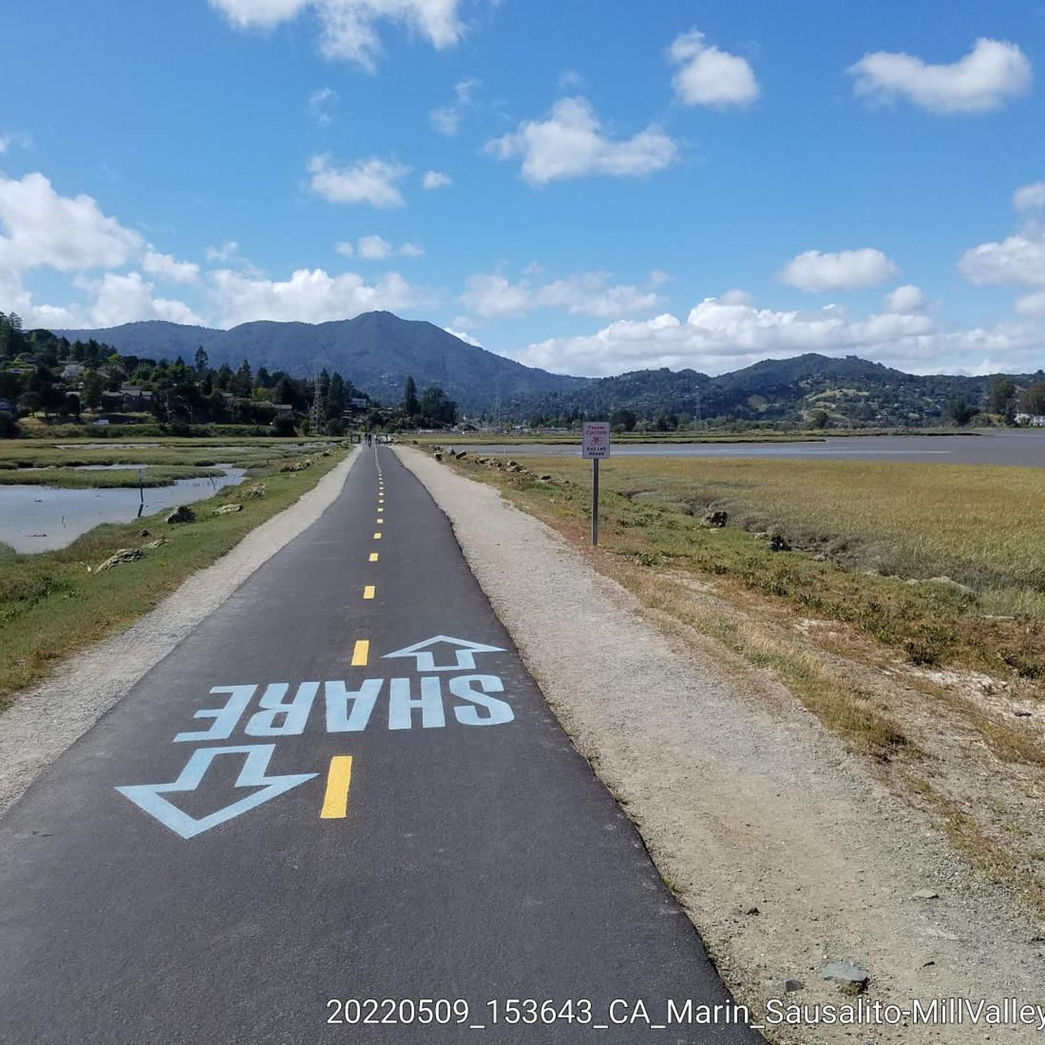
Yes, there are 2 easy touring cycling routes in this guide. A great option is the Miwok Trail – Tennessee Valley Trailhead loop from Tamalpais-Homestead Valley, which is 7.8 miles (12.6 km) long and features minimal elevation gain, making it ideal for a relaxed ride. The Mill Valley-Sausalito Pathway is also a flat, paved multi-use path perfect for all abilities, offering scenic bay views.
What are the most challenging touring cycling routes in the area?
For those seeking a challenge, 7 of the routes in this guide are rated as difficult. The Tennessee Valley Trailhead – Coastal Trail loop from Tamalpais-Homestead Valley is a demanding 24.9 miles (40.1 km) path with over 1,100 meters of elevation gain, exploring scenic coastal areas. Another difficult option is the Marin Coastal Bike Route, a 22.2 miles (35.7 km) trail with extensive coastal views and significant climbs.
What kind of natural features and landscapes can I expect to see on these routes?
Touring cycling routes in Tamalpais-Homestead Valley offer a stunning variety of landscapes. You'll encounter dramatic coastal bluffs, rolling hills, and tranquil redwood groves. Many routes provide breathtaking views of San Francisco, the San Francisco Bay, and the Pacific Ocean, especially from the slopes of Mount Tamalpais. You can also expect to ride through wetlands with diverse birdlife and areas bursting with wildflowers in spring.
Are there any notable landmarks or attractions along the touring cycling routes?
Yes, the region is rich in landmarks. While cycling, you might catch glimpses of the iconic Golden Gate Bridge. The Marin Headlands feature historical sites like old bunkers and missile control sites. Mount Tamalpais itself offers a visitor center and a historic train museum at its summit. For those interested in waterfalls, the area around Mount Tamalpais also features highlights like Laurel Dell Falls and Carson Falls.
What is the best time of year for touring cycling in Tamalpais-Homestead Valley?
The region generally offers pleasant cycling conditions year-round. Spring is particularly beautiful with hillsides adorned with wildflowers like California poppies and lupines. The weather is typically mild, making it enjoyable for touring cycling. However, coastal areas can experience fog, especially in summer mornings, so it's always good to check local forecasts.
Are there any circular touring cycling routes available?
Yes, many routes in the area are designed as loops, allowing you to start and end at the same point. Examples from this guide include the challenging Tennessee Valley Trailhead – Coastal Trail loop from Tamalpais-Homestead Valley and the Pelican Inn 🐧 – Coyote Ridge Trail loop from Mill Valley, which takes you through varied terrain.
What do other touring cyclists enjoy most about cycling in Tamalpais-Homestead Valley?
The area is highly rated by the komoot community, with an average score of 4.7 stars from over 170 reviews. Reviewers often praise the diverse terrain, from coastal paths to mountain ascents, and the breathtaking panoramic views of the San Francisco Bay and Pacific Ocean. The well-maintained trails and the opportunity to explore redwood groves are also frequently highlighted.
Is public transport accessible for reaching touring cycling routes?
Yes, public transport options are available. For example, the Camino Alto summit viewpoint – Larkspur Ferry Terminal loop from Mill Valley starts near the Larkspur Ferry Terminal, providing a convenient connection for those coming from San Francisco or other Bay Area locations via ferry services.
Are there options for food and drink near the touring cycling routes?
Yes, towns like Mill Valley and Sausalito, which are often starting or ending points for routes, offer a variety of cafes, restaurants, and shops where you can refuel. The Pelican Inn 🐧 – Coyote Ridge Trail loop from Mill Valley even features the Pelican Inn, a notable stop along the way.
Can I bring my dog on the touring cycling routes?
While many trails in the region are dog-friendly, specific regulations can vary by park or trail section. For example, the Golden Gate National Recreation Area, which encompasses parts of the Marin Headlands, has specific rules regarding dogs. It's always best to check the local park or trail regulations for the specific route you plan to ride to ensure it's dog-friendly and to understand leash requirements.
What is the typical duration of touring cycling routes in Tamalpais-Homestead Valley?
The duration of routes varies significantly based on distance and difficulty. For instance, an easy route like the Miwok Trail – Tennessee Valley Trailhead loop from Tamalpais-Homestead Valley can be completed in about 1 hour, while more challenging routes such as the Tennessee Valley Trailhead – Coastal Trail loop from Tamalpais-Homestead Valley can take over 4 hours to complete.
Most popular routes around Tamalpais-Homestead Valley
Most popular attractions around Tamalpais-Homestead Valley

Get inspired with the komoot mobile app


Explore more
Browse the best Cycling routes in other regions.
