The best MTB trails around Tamalpais-Homestead Valley
4.6
(228)
1,858
riders
11
rides
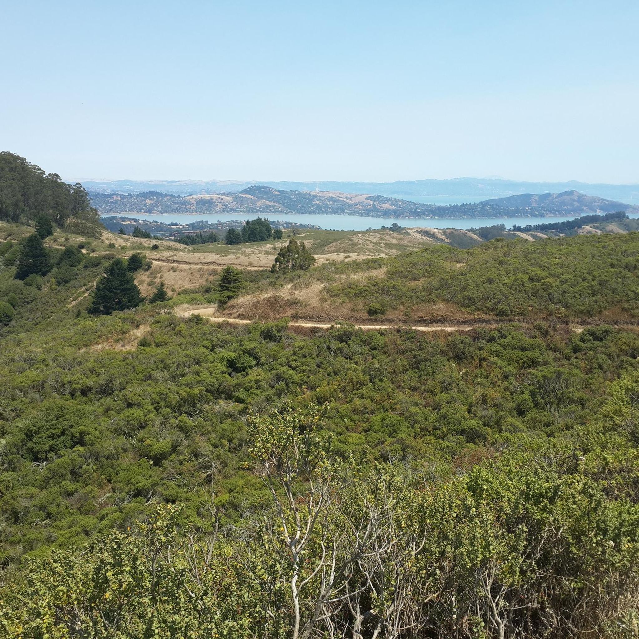
Mountain biking around Tamalpais-Homestead Valley offers diverse terrain within Marin County, California, a region often considered the birthplace of the sport. The landscape features the prominent Mount Tamalpais, with its rolling hills, redwood forests, and chaparral. Riders can experience coastal vistas overlooking the Pacific Ocean and San Francisco Bay, alongside varied ecosystems.
Best mountain bike trails around Tamalpais-Homestead Valley
- The most popular mountain bike trail is Miwok, Coastal, and Dias Ridge Loop, a 11.0 miles (17.6 km) route that takes about 2 hours to complete. This moderate trail offers diverse terrain with panoramic Pacific Ocean views.
- Another top favourite among local mountain bikers is Tennessee Valley/Muir Beach loop, a difficult 20.2 miles (32.4 km) path. This longer route features significant elevation gain through varied landscapes.
- Local mountain bikers also love the Marincello, Bobcat, Miwok and Old Springs Loop, a 7.2 miles (11.5 km) trail leading through hills and forests, often completed in about 1 hour 20 minutes.
- Mountain biking around Tamalpais-Homestead Valley is defined by redwood forests, coastal paths, and rolling hills. The network offers options for different ability levels, from moderate loops to more challenging routes.
- The routes in Tamalpais-Homestead Valley are highly rated by the komoot community with an average score of 4.77 stars from over 113 reviews. More than 1000 mountain bikers have used komoot to explore Tamalpais-Homestead Valley's varied terrain.
Last updated: August 31, 2026
4.7
(6)
48
riders
17.6km
01:59
570m
570m
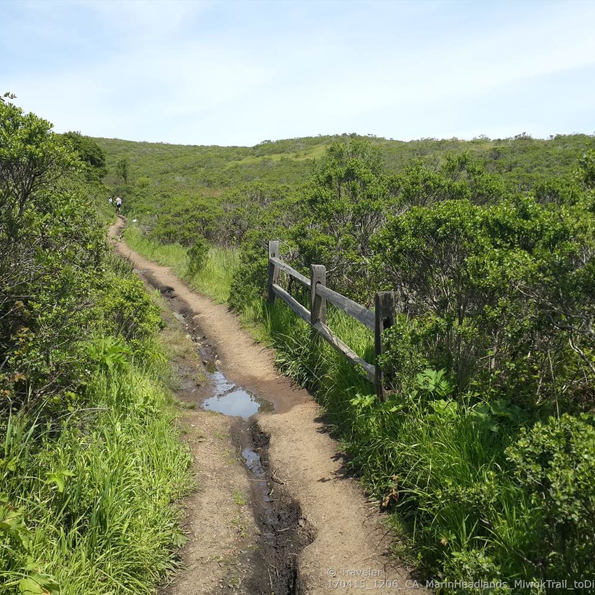
The Miwok, Coastal, and Dias Ridge Loop delivers a comprehensive mountain biking experience, weaving through open grasslands, chaparral, and dense eucalyptus groves. You'll be treated to spectacular ocean views, especially along the Dias Ridge Trail, which offers sweeping vistas of Muir Beach and the Pacific. The route combines challenging technical singletrack on the Miwok Trail with smoother, wider paths, providing a constantly changing backdrop of the Marin Headlands.
This moderate 10.9-mile (17.6 km) loop involves a substantial 1877 feet (572 metres) of elevation gain, typically taking just under two hours. While the Miwok Trail features technical climbs with deep ruts and steep grades, the Dias Ridge Trail offers more forgiving, wide singletrack with nice switchbacks. It's best suited for intermediate riders looking for a good workout and diverse terrain, rather than beginners.
Beyond the riding, the trail passes through Mount Tamalpais State Park and Golden Gate National Recreation Area lands, offering chances to see local wildlife and wildflowers in season. The Dias Ridge Trail, built on former dairy ranch land, descends towards Muir Beach, providing a potential rest stop. This loop stands out in Marin County for its significant proportion of singletrack and consistent, breathtaking ocean vistas.
5.0
(2)
38
riders
32.4km
03:26
970m
970m
The Tennessee Valley/Muir Beach loop offers a truly diverse mountain biking experience, taking you from the valley floor to coastal ridges with stunning ocean vistas. You'll navigate a mix of singletrack and fire roads, passing by the unique Green Gulch Zen Center Farm and enjoying views of Mt. Tamalpais and Muir Beach. Expect varied terrain, from flowy sections to rocky, technical stretches, all set against the dramatic backdrop of the Marin Headlands.
This is a difficult 20.2-mile (32.4 km) mountain bike route with a substantial 3196 feet (974 metres) of elevation gain, typically taking around 3 hours and 26 minutes to complete. The climbs are steep and challenging, particularly on trails like Miwok and Middle Green Gulch, but the panoramic views from the Coastal View Trail make the effort well worth it. Plan your visit between March and May to catch the vibrant wildflowers.
What makes this loop stand out is its combination of incredibly diverse landscapes and a challenging, engaging ride. You'll experience the transition from lush valleys to open grasslands and dramatic coastal scrub, with the chance to spot wildlife like red-tailed hawks and coyotes. The blend of demanding climbs and fun, jumpy descents against a backdrop of iconic Pacific Ocean views makes this a standout mountain biking destination.

Sign up for free
28
riders
11.5km
01:20
400m
400m
The Marincello, Bobcat, Miwok and Old Springs Loop offers a dynamic mountain biking experience through the Marin Headlands, blending challenging climbs with thrilling descents. You'll traverse well-maintained fire roads and technical singletrack, all while soaking in incredible viewpoints of the Pacific Ocean, Golden Gate Bridge, and surrounding North Bay landscape. The route provides a fantastic mix of terrain, from the gradual ascent of Marincello to the rutted sections of Miwok and the unique features of Old Springs, making for an engaging ride.
This moderate 7.2-mile (11.5 km) loop involves 1305 feet (398 metres) of elevation gain and typically takes about 1 hour and 19 minutes. The trailhead is conveniently located at the Tennessee Valley parking lot, though it can fill up quickly on weekends. Be aware that the Old Springs Trail is undergoing maintenance until early August 2026, which might affect the full loop. This route is best suited for strong beginners or intermediate riders looking for a varied challenge.
What makes this loop stand out among popular trails in Marin County is its blend of accessibility and technical sections, offering something for many skill levels. The Marincello Trail itself has an interesting history, being a repurposed access road from an abandoned development, which explains its consistent grade. Remember to share the trail respectfully with hikers and horses, slowing down when passing.
5.0
(1)
37
riders
Moderate mountain bike ride. Good fitness required. Suitable for all skill levels.
22
riders
Moderate mountain bike ride. Good fitness required. Suitable for all skill levels.
Get access to more routes and recommendations from other explorers.
Sign up for free
Already have an account?
Our route recommendations are based on thousands of hikes, rides, and runs completed by other people on komoot.
Start today with a free account
Your next adventure awaits.
Login or Signup


Tips from the Community

the typical boat houses north of San Francisco
1
0

Active horse barn maintained in the protected national recreation area and reminder of the military and also ranching history of the headlands.
0
0
Northern start of the gravel trail climbing gradually south-east across the last ridge before reaching the Golden Gate
0
0

Sausalito’s floating homes form a lively and unique community of over 400 houseboats anchored in Richardson Bay, just north of San Francisco. Originally emerging in the late 19th century as simple fishing huts and weekend getaways, these structures transformed over time into a refuge for artists, writers, and free spirits. After World War II, many abandoned materials from shipyards were repurposed to create imaginative residences, reflecting a deeply creative and unconventional way of life. Crafted from reclaimed wood, former ferries, and even repurposed streetcars, these homes became icons of counterculture living. During the 1970s, locals fiercely defended their alternative lifestyle in the "Houseboat Wars," a pivotal movement that safeguarded their place in Sausalito’s history. Today, these floating dwellings blend architectural eccentricity with bohemian charm, providing a relaxed, water-based way of life that thrives on creativity and strong community bonds.
0
0
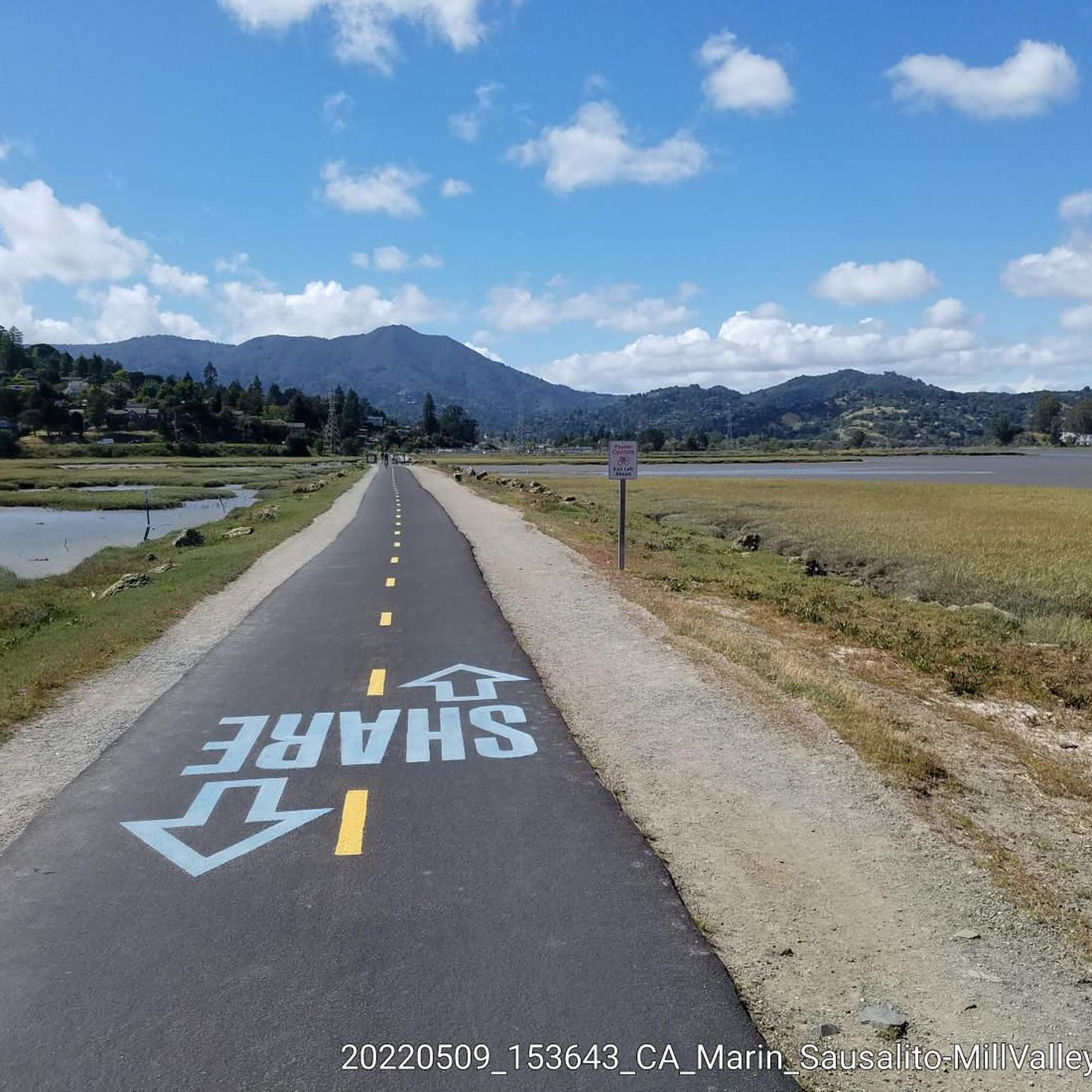
If you're riding into Sausalito from San Francisco then you'll be coming in via Alexander Avenue. You'll be treated to great views across the water, and the classic Bay Area homes built along the cliffside.
0
0


Today we visited this beautiful fishing village by tandem.
0
0

The Sausalito houseboat community is full of architectural gems and repurposed old working boats, and each is wonderfully unique. Bikes are not allowed on the dock, so you must park your bike to get a closer look; however, remember to be respectful when visiting, as these are residential homes, and you are close to someone's living space.
0
0
Frequently Asked Questions
How many mountain bike trails are available in Tamalpais-Homestead Valley?
Tamalpais-Homestead Valley offers a diverse network of mountain bike trails. There are 14 routes available, catering to various skill levels, including 2 easy, 10 moderate, and 2 difficult trails.
What kind of terrain can I expect on the mountain bike trails?
The terrain is highly varied, ranging from rolling hills and redwood forests to chaparral and coastal vistas. You'll encounter fire roads, single-track paths, and trails with panoramic views of the Pacific Ocean and San Francisco Bay. The area is known for its diverse ecosystems, including open grasslands, oak-covered knolls, and dense stands of Douglas-fir.
What is the best time of year for mountain biking in Tamalpais-Homestead Valley?
The region experiences a Mediterranean climate with warm, dry summers and mild, wet winters, making it suitable for year-round mountain biking. Spring offers vibrant wildflower displays, while the cooler, wetter months can bring waterfalls to life. Always check local trail conditions, especially after heavy rains.
Are there any easy mountain bike trails suitable for beginners or families?
Yes, there are 2 easy mountain bike routes in the area. For a family-friendly option, consider trails with less elevation gain and wider paths. The Dias Ridge Trail, for example, is described as an easy and fun wide single-track with switchbacks, suitable for a more relaxed ride.
Are there any challenging mountain bike routes for experienced riders?
For experienced riders seeking a challenge, there are 2 difficult routes available. A notable option is the Tennessee Valley/Muir Beach loop, which is 32.4 km long and features significant elevation gain through varied landscapes.
What natural features or landmarks can I see while mountain biking?
You can enjoy breathtaking views of the Pacific Ocean and San Francisco Bay, especially from higher points on Mount Tamalpais. Nearby attractions include the majestic redwood trees of Muir Woods National Monument and the scenic Marin Headlands. You might also spot the Golden Gate Bridge from certain viewpoints.
Are there any circular mountain bike routes in the area?
Many of the mountain bike trails in Tamalpais-Homestead Valley are designed as loops, offering a continuous riding experience without retracing your steps. An example is the Marincello, Bobcat, Miwok and Old Springs Loop, which is 11.5 km long and takes you through hills and forests.
What do other mountain bikers say about the trails in Tamalpais-Homestead Valley?
The mountain biking routes in Tamalpais-Homestead Valley are highly rated by the komoot community, with an average score of 4.77 stars from over 113 reviews. Riders often praise the diverse terrain, stunning coastal views, and the variety of trails catering to different skill levels.
Are dogs allowed on the mountain bike trails?
Policies regarding dogs can vary by specific trail and park regulations. It's always best to check the rules for the particular trail you plan to ride. For Mount Tamalpais State Park, you can find detailed information on their official website: California State Parks.
Are there any permits required for mountain biking in the region?
Generally, permits are not required for mountain biking on designated trails in Tamalpais-Homestead Valley, but it's always wise to verify with the specific park or land management agency for the area you plan to visit. For Mount Tamalpais State Park, you can consult their official website for any specific regulations.
Where can I find mountain bike trails with great viewpoints?
Many trails offer spectacular views. The Old Railroad Grade provides scenic climbs with excellent views of San Francisco, Sausalito, and the Bay. The Coastal View Trail is another option, perched high above the Pacific Ocean, offering amazing vistas. The Dias Ridge Trail – Muir Beach loop also features panoramic Pacific Ocean views.
Are there any waterfalls accessible by mountain bike trails?
During the rainy season, some areas around Mount Tamalpais can feature temporary waterfalls. While not directly on mountain bike trails, you might encounter them or find them accessible via short detours on foot during the wetter months.
Most popular routes around Tamalpais-Homestead Valley
Most popular attractions around Tamalpais-Homestead Valley

Get inspired with the komoot mobile app


Explore more
Browse the best MTB trails in other regions.
