The best gravel rides around Alum Rock
4.0
(1)
28
riders
6
rides
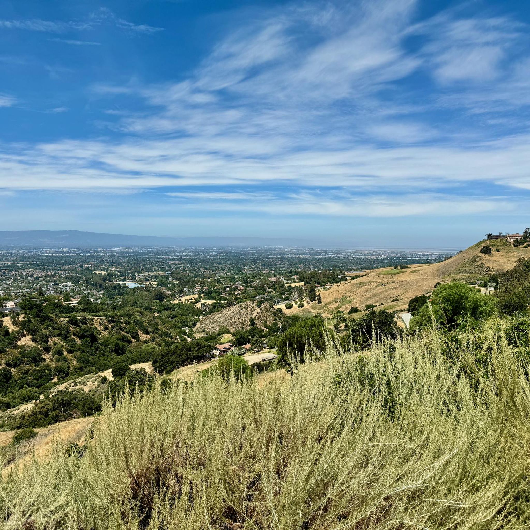
Gravel biking around Alum Rock offers a diverse landscape within the Diablo Range foothills, characterized by urban parkland, creek-side paths, and rolling foothills. The region features a canyon carved by Penitencia Creek, with varied vegetation ranging from oaks on upper ridges to sycamores and maples along the valley floor. Riders can expect a mix of terrains, including designated bike trails, dirt paths, and unpaved segments, with options for both flatter routes and challenging climbs. The park also contains unique geological…
Last updated: July 9, 2026
6
riders
34.7km
02:35
750m
760m
Hard gravel ride. Very good fitness required. Mostly paved surfaces. Suitable for all skill levels.
7
riders
11.8km
00:51
160m
160m
Moderate gravel ride. Good fitness required. Mostly paved surfaces. Suitable for all skill levels.

Sign up for free
4.0
(1)
4
riders
40.8km
03:09
940m
940m
Hard gravel ride. Very good fitness required. Mostly paved surfaces. Suitable for all skill levels.
3
riders
Hard gravel ride. Very good fitness required. Mostly paved surfaces. Suitable for all skill levels.
5
riders
60.6km
03:51
400m
400m
Moderate gravel ride. Good fitness required. Mostly paved surfaces. Suitable for all skill levels.
Our route recommendations are based on thousands of hikes, rides, and runs completed by other people on komoot.
Start today with a free account
Your next adventure awaits.
Login or Signup
Tips from the Community

Nestled in Fremont just north of San Jose, Old Mission San José, originally built by the Spanish in 1797, was painstakingly restored after decades of neglect. Visitors can step into history as they tour the original doors of the 1809 adobe church. Guided and self‑guided tours, the former being led by knowledgeable docents, bring the Rancho to life.
0
0

It's a great spot for enjoying nature close to the city. The park is well-known for its Penitencia Creek Trail, which stretches for about four miles. It offers a peaceful escape and a chance to connect with local wildlife and greenery.
0
0
When in season you will see a lot of beautiful oleander lining the road along this stretch.
0
0

Alum Rock Park, established in 1872, is one of California's oldest municipal parks, spanning 720 acres. Visitors can enjoy hiking, biking, horseback riding, and family picnicking with amenities like picnic tables, barbecue pits, restrooms, and a playground in the mid-canyon area. The park is wheelchair accessible and open daily from 8 a.m. to half an hour after sunset, a great spot to explore year-round.
0
0
Visitors to the Penitencia Creek Trail can view the water-filled Dr. Robert W. Gross Recharge Ponds. These ponds, part of a system designed to recharge underground aquifers, are crucial for maintaining healthy groundwater levels that supply nearly half of Santa Clara County's water. While the ponds support wildlife, their primary purpose is water filtration, and visitors are reminded not to introduce fish or animals into the ponds.
0
0
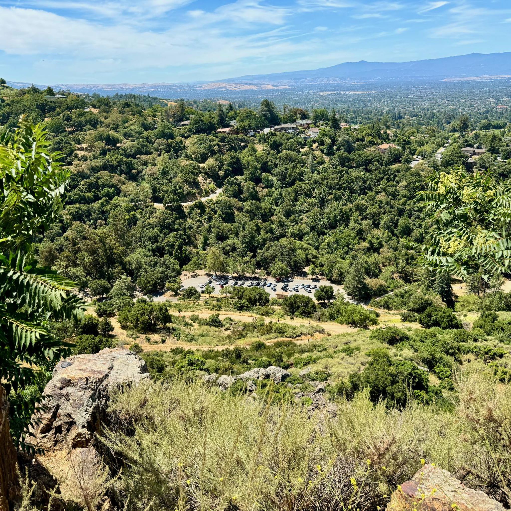
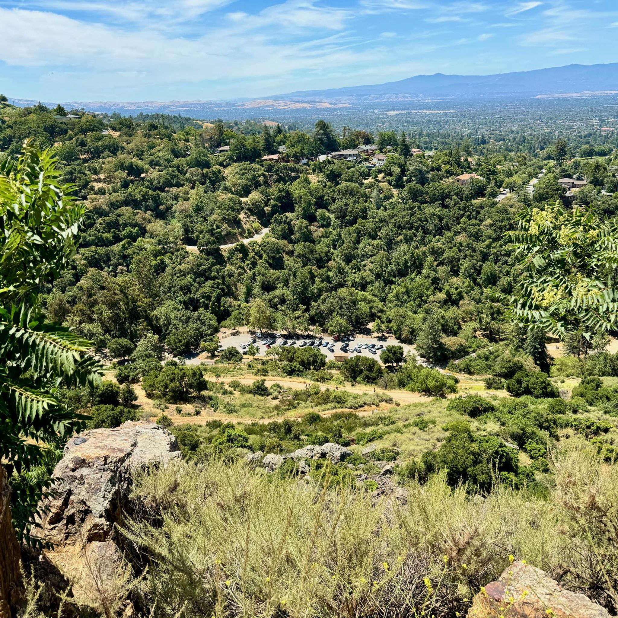
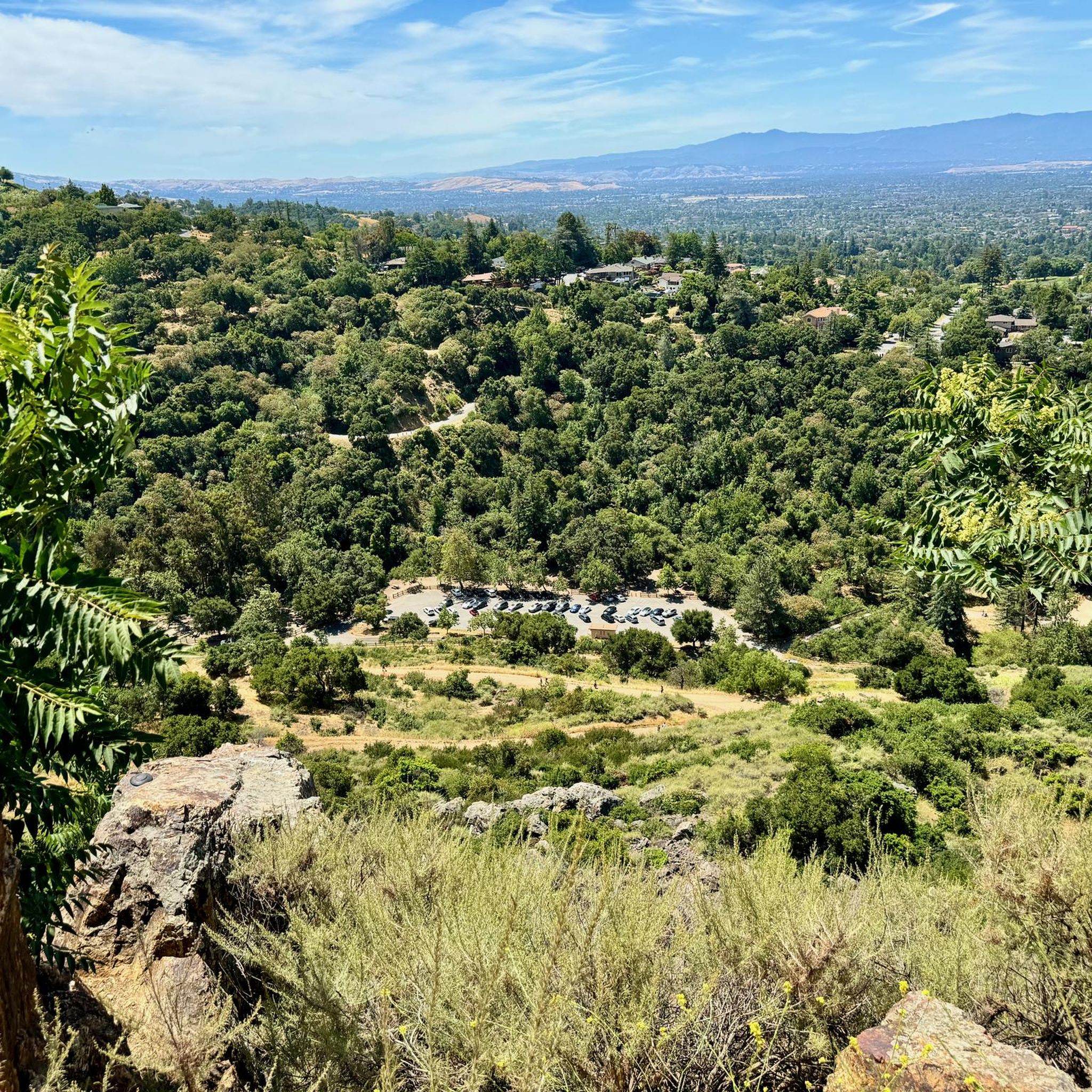
Located right by the parking area you can find some additional info before heading out on your ride.
0
0
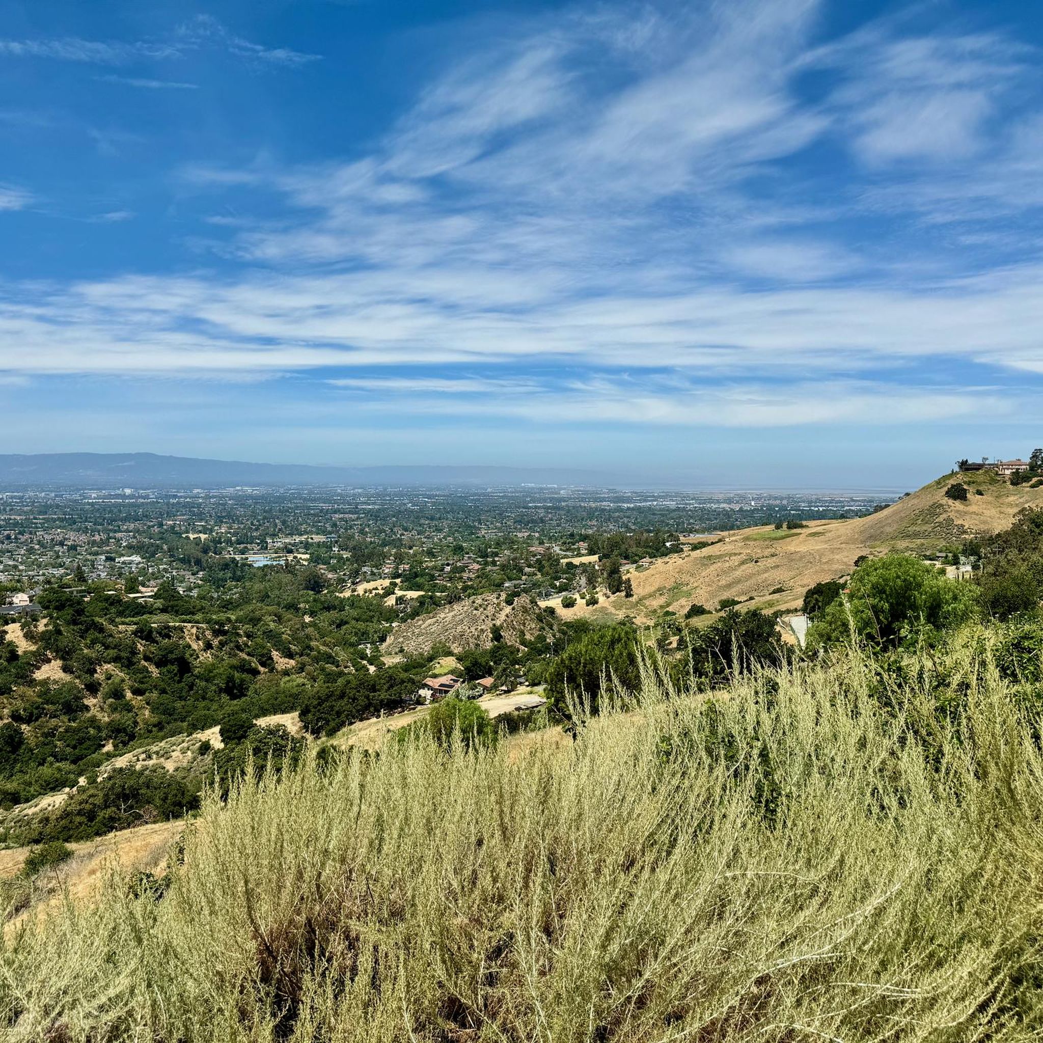
Nice gravel trail that winds its way through the park. Some sections follow long the water giving you some great views.
0
0

You can find free parking and restrooms by the side of the creek. From here you have the option of many different hilly but nontechnical trails up to Eagle Rock, Inspiration Point, Boccardo, or along the creek side.
0
0
Frequently Asked Questions
How many gravel bike trails are available around Alum Rock?
The Alum Rock area offers a good selection of gravel biking routes, with over 7 trails documented on komoot. These range in difficulty from moderate to difficult, providing options for various skill levels.
Are there any easy or beginner-friendly gravel bike routes in Alum Rock?
While the komoot data indicates routes are generally moderate to difficult, the region's mix of urban parkland and creek-side paths suggests that some sections might be suitable for beginners. For a moderate option, consider the Piedmont Ponds – Upper Penitencia Creek loop from Berryessa, which is 7.3 miles long and features varied terrain.
What are the typical distances and elevation gains for gravel biking in Alum Rock?
Gravel bike routes in Alum Rock vary significantly. You can find shorter, moderate rides like the Piedmont Ponds – Upper Penitencia Creek loop from Berryessa at 7.3 miles with 157 meters of elevation gain. For a more challenging experience, routes like the Climb with beautiful views – Piedmont Ponds loop from Berryessa stretch over 21.5 miles and include significant climbs of around 750 meters.
Are there any challenging gravel bike routes for experienced riders?
Yes, Alum Rock offers several challenging routes. The Climb with beautiful views – Piedmont Ponds loop from Berryessa is a difficult 21.5-mile trail with over 750 meters of elevation gain, known for its expansive views. Another demanding option is the Oleander Along Evans Road – Ohlone College loop from Milpitas, which covers 25.4 miles with over 930 meters of climbing.
What kind of terrain can I expect on Alum Rock's gravel trails?
The terrain around Alum Rock is quite diverse, featuring a mix of urban parkland, scenic creek-side paths, and rolling foothills. Riders will encounter varied surfaces, from relatively flat river trails to more challenging climbs on unpaved roads.
Are there any loop trails for gravel biking in the Alum Rock area?
Yes, many of the gravel bike routes in Alum Rock are designed as loops, allowing you to start and finish at the same point. Examples include the Guadalupe River Trail – Guadalupe River Trail loop from San Jose Diridon and the Moffett Federal Airfield – Stevens Creek bridge loop from San Jose Diridon.
What attractions or landmarks can I see along the gravel bike trails?
While gravel biking, you might encounter several points of interest. The Guadalupe River Trail, Park & Gardens is a notable highlight, and you can also find natural monuments like the Historic Mineral Springs Grotto within Alum Rock Park itself. For expansive views, look for the View of San Jose from Sierra Vista Open Space Preserve.
What do other gravel bikers enjoy most about Alum Rock?
The Alum Rock area is highly rated by the komoot community, with an average score of 4.0 stars. Riders often appreciate the diverse landscape, which provides access to natural spaces even within a more developed environment, and the variety of terrain from flat river trails to challenging climbs with rewarding views.
Is Alum Rock suitable for family-friendly gravel biking?
The region offers a mix of terrain. While some routes feature significant climbs, the presence of urban parkland and creek-side paths suggests that flatter, less technical sections could be suitable for families. It's advisable to check individual route details for difficulty and elevation before heading out with children.
Are there any gravel trails with cafe stops or refreshment options?
The guide does not specifically detail cafe stops along the trails. However, given the proximity to urban areas and the nature of some routes passing through parklands, you may find amenities or opportunities for refreshments near trailheads or in adjacent neighborhoods. Planning your route with a map that shows local businesses would be beneficial.
What is the best time of year to go gravel biking in Alum Rock?
Alum Rock generally enjoys a mild climate, making gravel biking enjoyable for much of the year. Spring and fall often offer the most pleasant temperatures. Summers can be warm, especially in exposed areas, so early morning rides are recommended. Winters are typically mild but can bring occasional rain, which might affect trail conditions.
Can I access Alum Rock gravel bike trails using public transport?
Some routes, such as the Guadalupe River Trail – Guadalupe River Trail loop from San Jose Diridon and the Moffett Federal Airfield – Stevens Creek bridge loop from San Jose Diridon, start from San Jose Diridon, which is a major public transport hub. This suggests that certain trailheads are accessible via public transit, particularly those originating from urban centers.
Most popular attractions around Alum Rock

Get inspired with the komoot mobile app


Explore more
Browse the best Gravel rides in other regions.
