The best running trails around Alum Rock
4.3
(11)
1,111
runners
97
runs
Jogging around Alum Rock offers a diverse landscape for runners, characterized by its creeks, woodlands, and varied elevation. The region features trails that wind alongside Penitencia Creek and through wooded areas, providing a mix of flat sections and gentle climbs. Alum Rock Park itself is known for its natural beauty, with routes that explore its unique geological formations and lush vegetation. These trails cater to different fitness levels, from easy, flat paths to more challenging routes with significant elevation gain.
Best jogging routes around Alum Rock
- The most popular jogging route is Penitencia Creek Trail, a 3.0 miles (4.9 km) trail that takes 35 minutes to complete. This route follows the scenic Penitencia Creek, offering a mostly flat and accessible running experience.
- Another top favourite among local runners is North Woodland Trail Loop, an easy 1.7 miles (2.8 km) path. This loop winds through a wooded area, providing a shaded and tranquil environment for a shorter run.
- Local runners also love the Alum Rock Park loop from Penitencia Creek, a 9.0 miles (14.4 km) trail leading through the heart of Alum Rock Park, often completed in about 1 hour 36 minutes.
- Jogging around Alum Rock is defined by creek-side paths, dense woodlands, and rolling hills. The network offers options for easy jogging routes as well as more challenging running trails.
- The routes in Alum Rock are highly rated by the komoot community with an average score of 4.0 stars from 8 reviews. More than 800 runners have used komoot to explore Alum Rock's varied terrain.
Last updated: August 18, 2026
1
runners
4.86km
00:36
80m
80m
Easy run. Great for any fitness level. Mostly paved surfaces. Suitable for all skill levels.
1
runners
2.78km
00:21
90m
90m
Easy run. Great for any fitness level. Mostly paved surfaces. Suitable for all skill levels.

Sign up for free
5.0
(2)
29
runners
12.6km
01:29
300m
300m
Moderate run. Good fitness required. Mostly paved surfaces. Suitable for all skill levels.
22
runners
14.6km
01:38
230m
230m
Moderate run. Good fitness required. Mostly paved surfaces. Suitable for all skill levels.
14
runners
13.3km
01:50
480m
480m
Hard run. Very good fitness required. Mostly paved surfaces. Suitable for all skill levels.
Get access to more routes and recommendations from other explorers.
Sign up for free
Already have an account?
Our route recommendations are based on thousands of hikes, rides, and runs completed by other people on komoot.
Start today with a free account
Your next adventure awaits.
Login or Signup
Tips from the Community


The Mineral Springs Grotto in Alum Rock Park tells the story of the area's geological history and abundance of natural mineral springs. Developed between 1891 and 1902, masons crafted intricate stone grottoes using native rock to protect the springs: sulfur, magnesia, iron, and carbonated soda springs. These springs once supported a thriving health resort, with waters believed to have medicinal properties. Today park visitors can explore the grottoes and interpretive panels along the Creek Trail to learn about the springs’ historical significance and the park’s transformation from an ancient ocean beach to the stunning canyon seen today. Unfortunately, soaking is not allowed these days.
0
0
Alum Rock Park, established in 1872, is one of California's oldest municipal parks, spanning 720 acres. Visitors can enjoy hiking, biking, horseback riding, and family picnicking with amenities like picnic tables, barbecue pits, restrooms, and a playground in the mid-canyon area. The park is wheelchair accessible and open daily from 8 a.m. to half an hour after sunset, a great spot to explore year-round.
0
0

It's really amazing that this stone bridge is still here. I understand it was originally built to easily get pack horses across the creek — and of course the people with them, too.
0
0
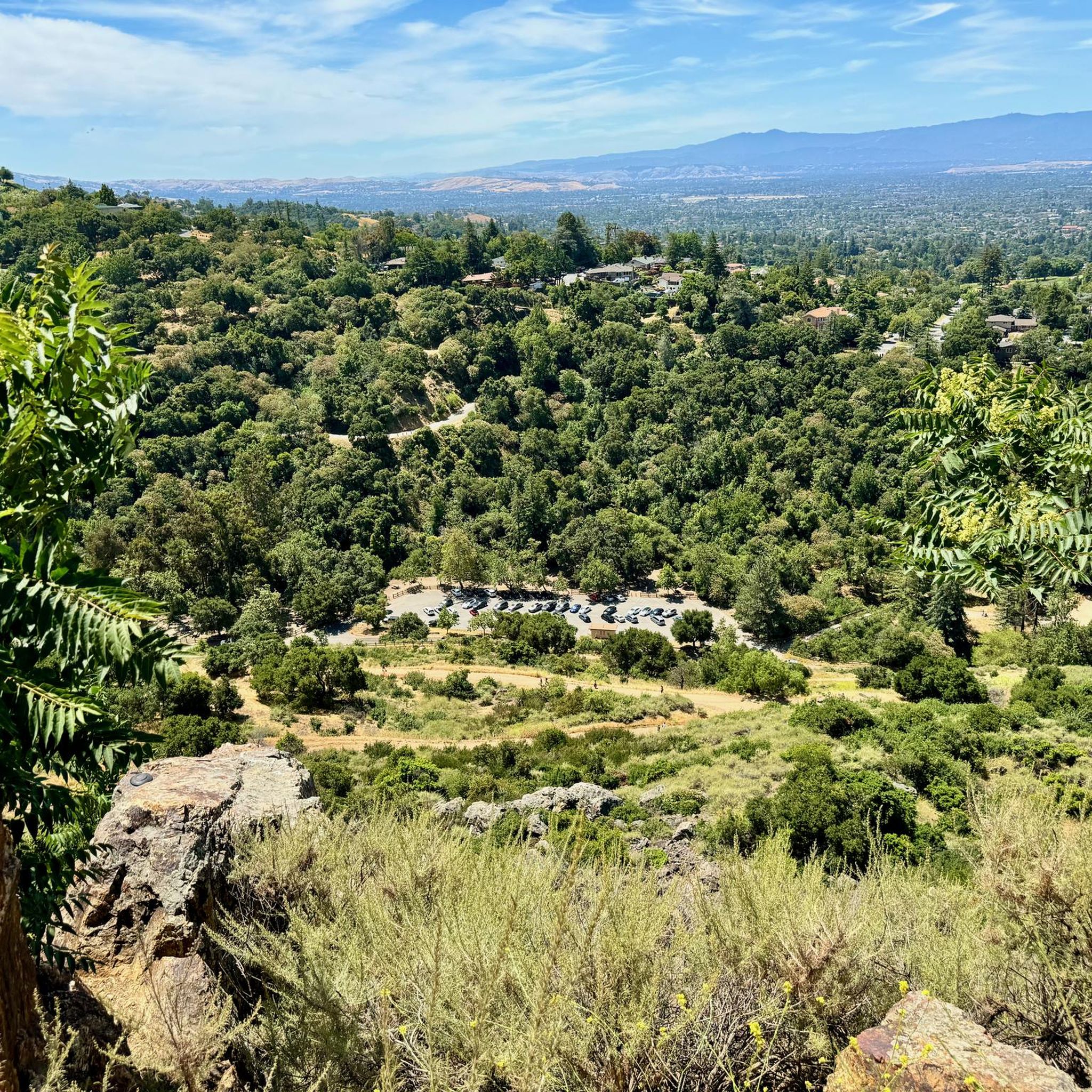
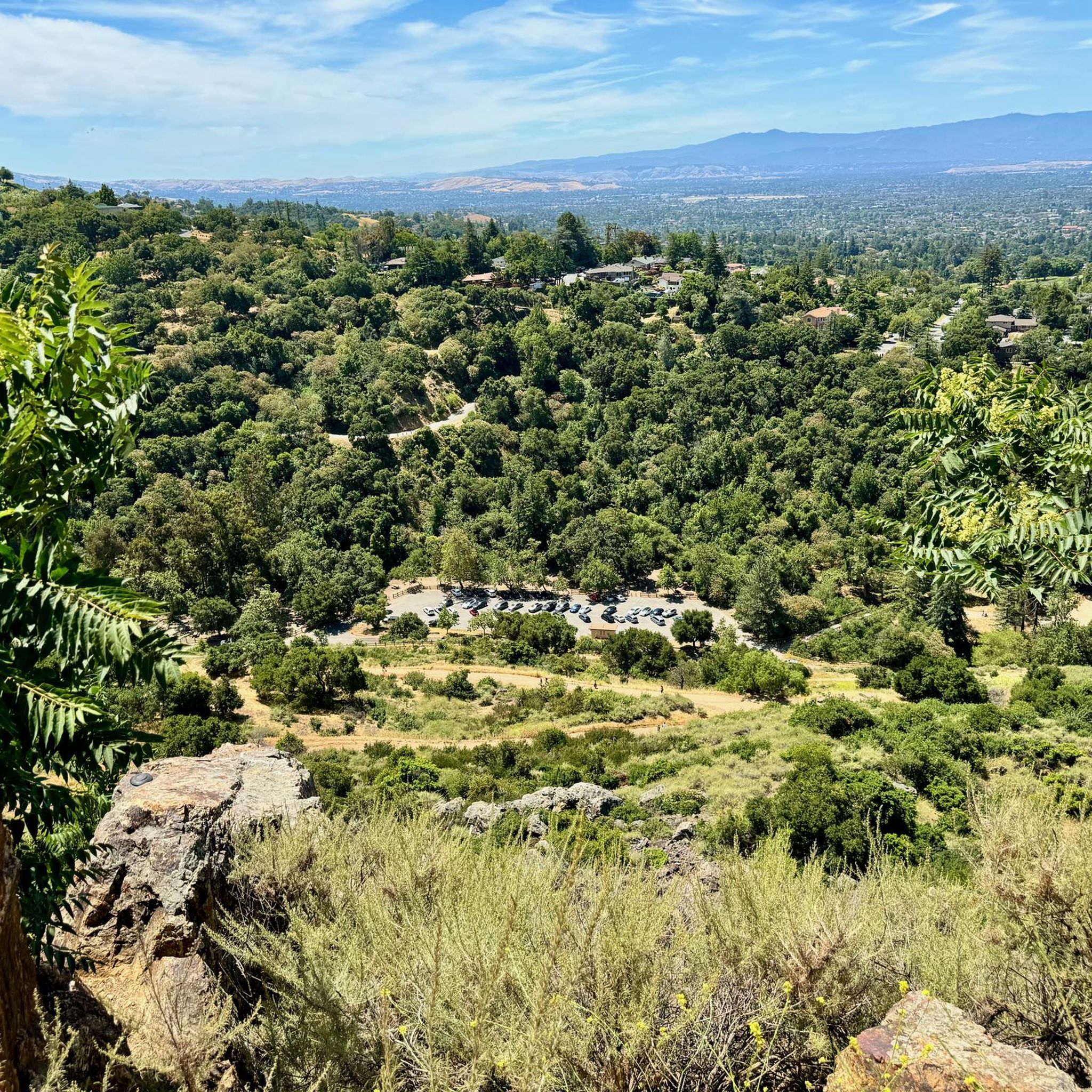
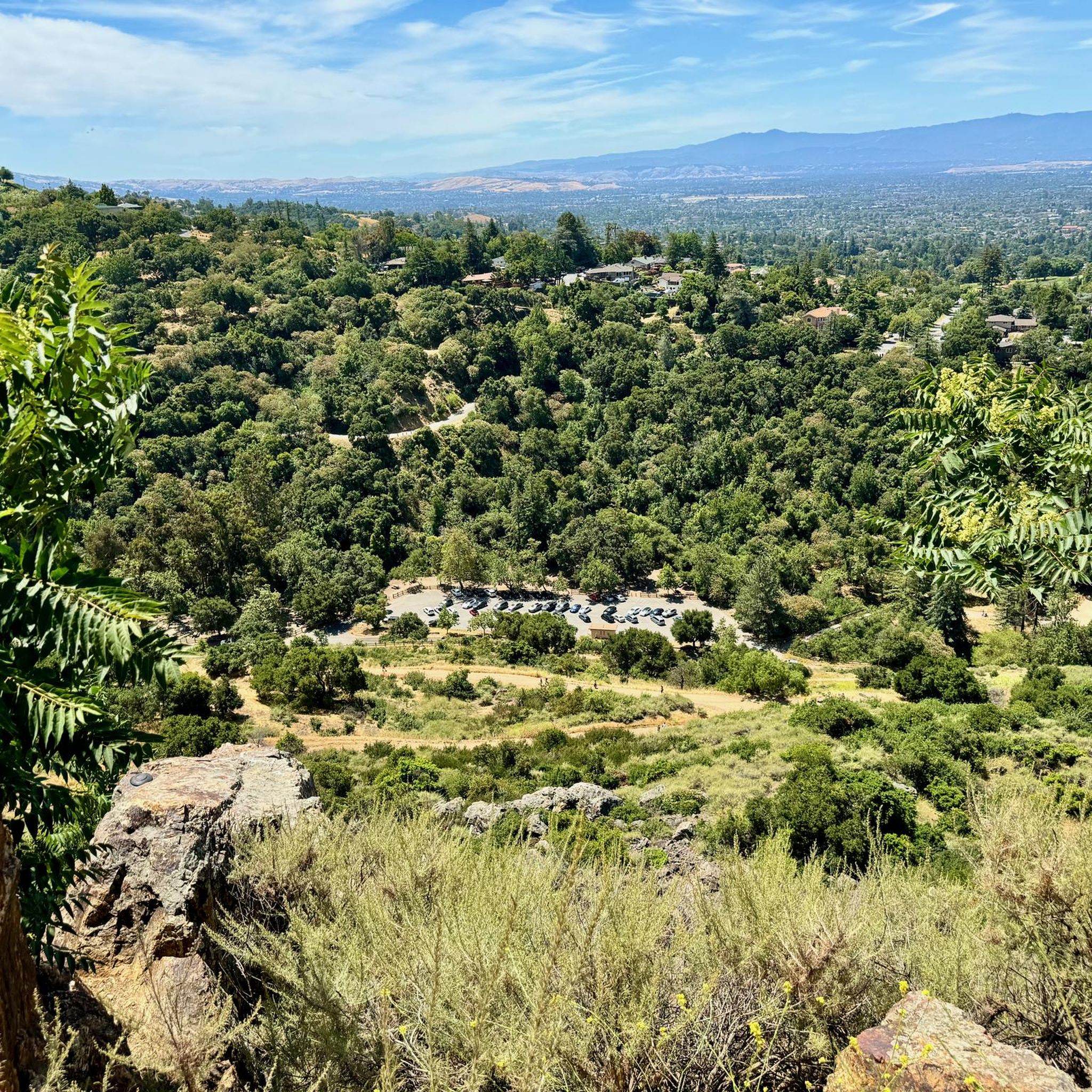
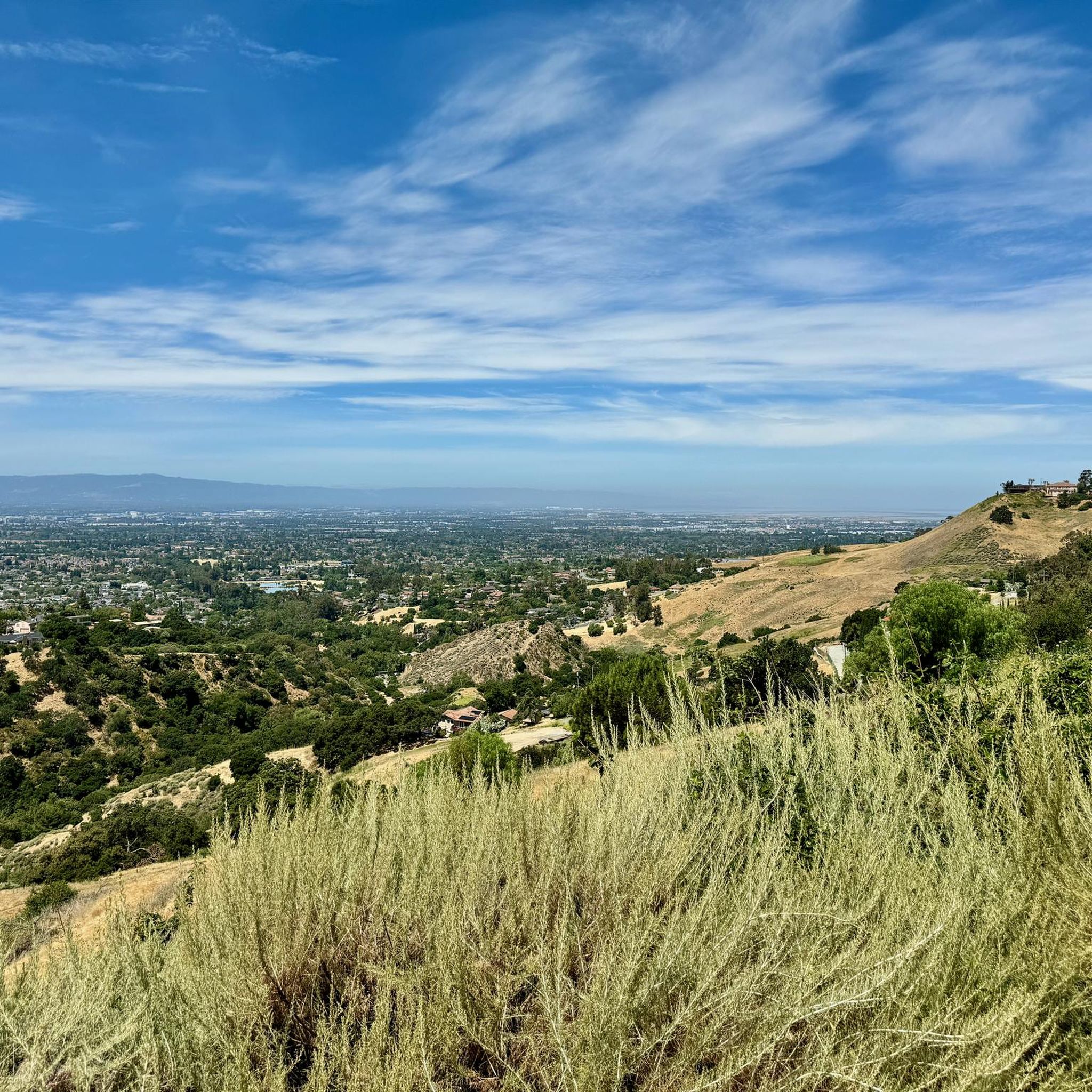
Inspiration Point in Alum Rock Park offers stunning views of San Jose and the Bay and is surrounded by mature native trees and shrubs. Since 2011, volunteers have been working to restore the area by removing invasive species through the "Weed & Walk" group. Shade can be found up here amongst the trees, and there is a wooden fence and wooden benches indicating the arrival of the Inspiration Point viewpoint.
0
0

You can find free parking and restrooms by the side of the creek. From here you have the option of many different hilly but nontechnical trails up to Eagle Rock, Inspiration Point, Boccardo, or along the creek side.
0
0

This trail can be ridden in either direction and plays out similarly no matter how you ride it. A short, switchbacky climb is rewarded with a fun twisty descent. If you need a rest after the climb there's a shady place to stop at the top of the hill.
0
0
Upper Penitencia Creek Trail runs through Alum Rock Park and connects to many of the area's trails. The trail itself is an easy gravel ride for beginners and kids, but many of the adjoining trails are more challenging.
0
0
Frequently Asked Questions
How many running routes are available in Alum Rock?
Alum Rock offers a comprehensive network of over 70 running routes. These trails cater to various preferences, from leisurely jogs along the creek to more challenging ascents through the hills.
Are there running routes for all skill levels in Alum Rock?
Yes, Alum Rock provides a diverse range of running experiences. You'll find 13 easy routes perfect for beginners or a relaxed pace, 42 moderate trails for those seeking a bit more challenge, and 15 difficult routes for experienced runners looking for significant elevation gain.
What kind of terrain can I expect on the jogging trails in Alum Rock?
The jogging trails in Alum Rock are characterized by a mix of creek-side paths, dense woodlands, and rolling hills. You'll encounter both flat sections and gentle climbs, with routes winding through areas featuring unique geological formations and lush vegetation.
Are there any easy, family-friendly running routes in Alum Rock?
Absolutely. For an easy and family-friendly option, consider the Penitencia Creek Trail. This 3.0-mile (4.9 km) route follows the scenic creek and is mostly flat, making it accessible for all ages and fitness levels.
Are there any circular running routes in Alum Rock?
Yes, Alum Rock features several circular running routes. A popular choice is the North Woodland Trail Loop, an easy 1.7-mile (2.8 km) path that winds through a shaded, tranquil wooded area. For a longer option, the Alum Rock Park loop from Penitencia Creek covers 9.0 miles (14.4 km).
What do other runners enjoy most about jogging in Alum Rock?
The running routes in Alum Rock are highly rated by the komoot community, with an average score of 4.0 stars from 8 reviews. Runners often praise the diverse landscape, from scenic creek-side paths to tranquil wooded areas, and the variety of trails suitable for different fitness levels.
Are dogs allowed on the running trails in Alum Rock?
Alum Rock Park generally allows dogs on leash on many of its trails. However, it's always best to check specific trail regulations or park signage before heading out, as rules can vary or change.
Are there any viewpoints or scenic spots along the running routes?
Yes, Alum Rock Park offers several scenic spots. For impressive vistas, consider routes that pass near Eagle Rock. You might also find routes with views of San Jose from higher elevations, such as those in the Sierra Vista Open Space Preserve nearby.
What are some interesting landmarks or attractions near the running trails?
While running, you can explore several interesting landmarks. Within Alum Rock Park, you might encounter the Historic Mineral Springs Grotto. Other nearby attractions include Lupe the Mammoth and the expansive Guadalupe River Trail, Park & Gardens.
Is there public transport access to Alum Rock Park for runners?
Yes, Alum Rock Park is accessible via public transport. Several VTA bus lines serve the area, with stops conveniently located near park entrances. It's advisable to check the latest VTA schedules and routes for the most current information.
Where can I find parking for the running trails in Alum Rock?
Alum Rock Park has designated parking areas available for visitors. The main entrance off Alum Rock Avenue provides access to several parking lots. There may be a small entrance fee for vehicles, so it's good to be prepared.
What is the best time of year to go running in Alum Rock?
Spring and fall are generally considered the best times for running in Alum Rock, offering mild temperatures and lush scenery. Spring brings wildflowers, while fall provides comfortable weather. Summer can be warm, especially midday, and winter can bring rain, though trails remain accessible.
Most popular attractions around Alum Rock

Get inspired with the komoot mobile app


Explore more
Browse the best Running Trails & Routes in other regions.
