The best gravel rides around Los Altos
4.8
(27)
252
riders
41
rides
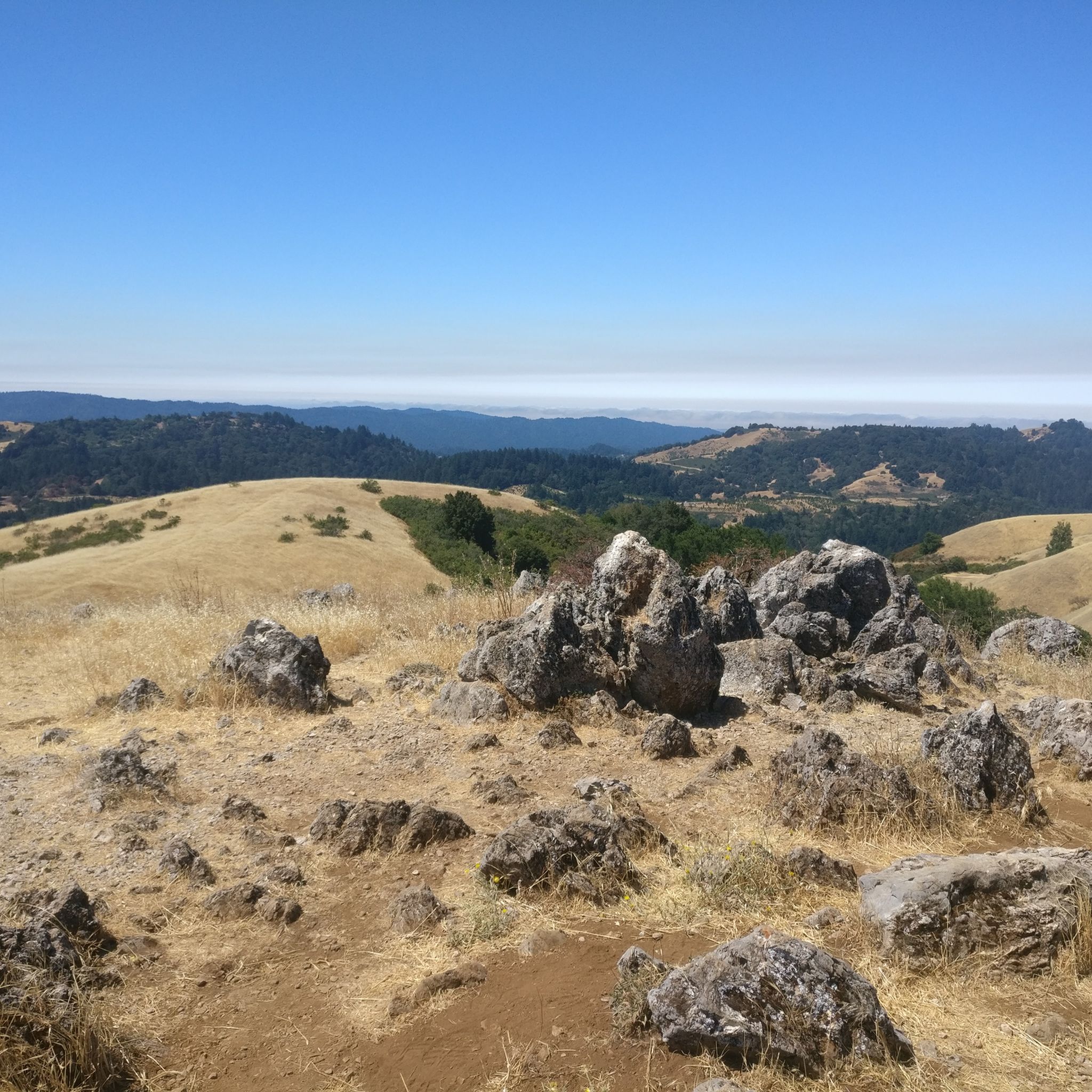
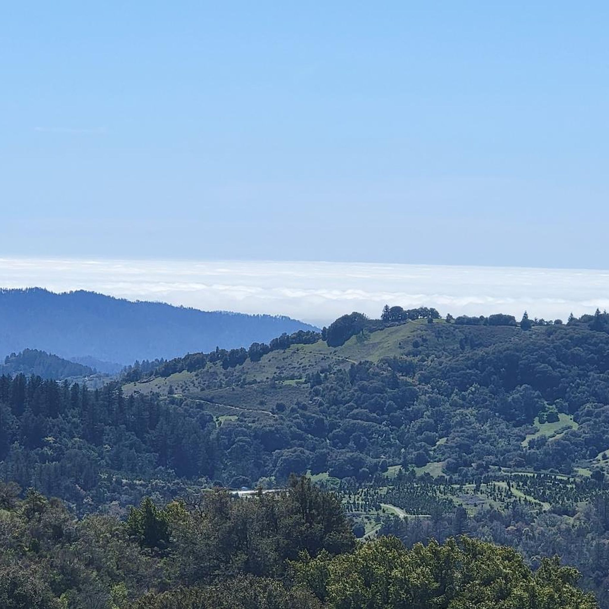
Gravel biking around Los Altos offers diverse terrain characterized by rolling hills, lush landscapes, and native oak trees. The region features a semi-rural ambiance with open spaces and creeks, providing a scenic backdrop for outdoor activities. Proximity to the Santa Cruz Mountains further enhances the variety of unpaved routes. These elements contribute to a peaceful and natural environment for gravel biking.
Best gravel bike trails around Los Altos
- The most popular gravel bike trail is Moffett Boulevard Bike Bridge –…
Last updated: August 23, 2026
5.0
(3)
21
riders
Easy gravel ride. Great for any fitness level. Mostly paved surfaces. Suitable for all skill levels.
4.3
(3)
12
riders
Moderate gravel ride. Good fitness required. Mostly paved surfaces. Suitable for all skill levels.

Sign up for free
5.0
(1)
21
riders
Easy gravel ride. Great for any fitness level. Mostly paved surfaces. Suitable for all skill levels.
5.0
(5)
37
riders
Moderate gravel ride. Good fitness required. Mostly paved surfaces. Suitable for all skill levels.
11
riders
Easy gravel ride. Great for any fitness level. Mostly paved surfaces. Suitable for all skill levels.
Get access to more routes and recommendations from other explorers.
Sign up for free
Already have an account?
Our route recommendations are based on thousands of hikes, rides, and runs completed by other people on komoot.
Start today with a free account
Your next adventure awaits.
Login or Signup
Tips from the Community


The San Francisco Bay Trail is a flat, paved trail that runs along the border of the bay. It is a great place for a run because it is traffic free and has great views.
0
0

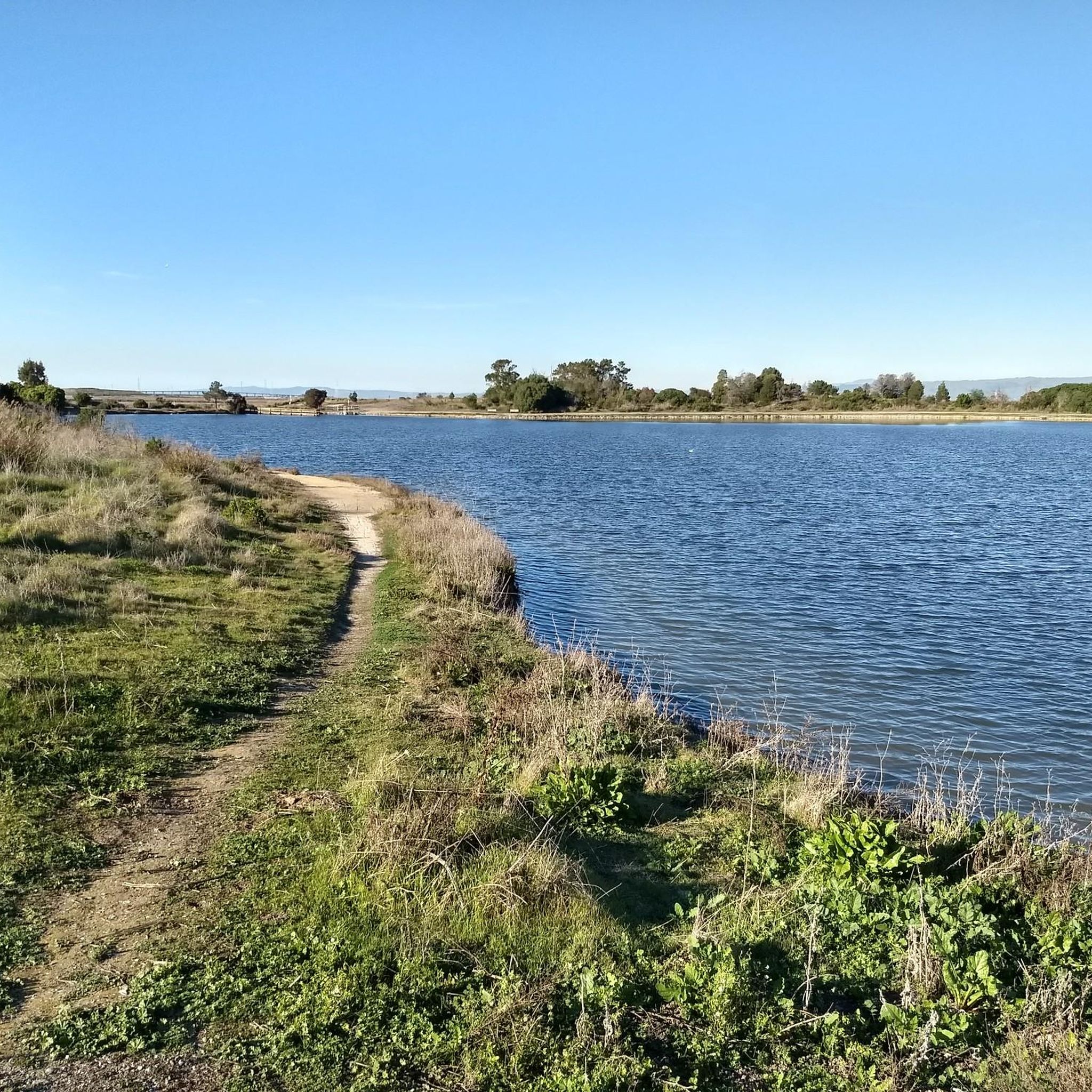
This spot is a fantastic place to view the many American White Pelicans and other birds on the island of Adobe Creek. A lovely bench is here, ideal for taking a quiet break and capturing some beautiful photos.
0
0
Nestled in Baylands Nature Preserve, Byxbee Park is beautiful, featuring an array of sculpted earth & conceptual art. The park has trails for cyclists and hikers, restrooms, drinking fountains, and lovely benches to relax and enjoy the scenery in a peaceful atmosphere.
0
0
The Donald M. Somers Water Pollution Control Plant, also called the Sunnyvale Water Treatment Center, is a wastewater treatment plant focused on making the water clean enough to be safely released into San Francisco Bay or used for non-drinking purposes. The plant produces about 300 million gallons of recycled water each year.
0
0

Ravenswood Preserve, a 376-acre wetland in the San Francisco Bay, is a great spot for birdwatching and family fun. Open from half an hour before sunrise to half an hour after sunset, it features a flat trail for walking and biking along the marsh levee. Migrating birds like sandpipers, avocets, and herons frequent the area, while the marshland are home to endangered species like the Ridgway's rail.
0
0
The SF Bay Trail crosses over the San Tomas Aquino Creek, offering an option to pass under Highway 237. This section of the trail provides a scenic route with multiple paths for cyclists and hikers to explore. San Tomas Aquino Creek, a 16.5-mile stream flowing from El Sereno mountain through several cities before reaching the Guadalupe Slough. This creek has played an important role in historical land grant boundaries in the 1850s. While it has seen habitat changes, native fish species, such as rainbow trout, persist in the creek, and in 1996, a large Chinook salmon was seen.
0
0
Frequently Asked Questions
What kind of terrain can I expect on gravel bike trails around Los Altos?
Gravel biking around Los Altos offers a diverse range of terrain. You'll encounter rolling hills, lush landscapes, and native oak trees, providing scenic backdrops. Routes can vary from mostly paved surfaces with broad dirt shoulders to more technical single-track portions with good climbs, especially in the adjacent Los Altos Hills. Some trails might feature bumps and varying elevation gains, catering to different skill levels.
Are there any challenging gravel routes for experienced riders in Los Altos?
Yes, Los Altos and the surrounding hills offer routes with notable elevation changes and some technical sections suitable for advanced riders. While some single-track portions are not overly technical, they provide good climbs and varied terrain to keep experienced gravel bikers engaged. For a longer, more challenging ride, consider the Stevens Creek bridge – San Francisco Bay Trail loop from Sunnyvale, which is rated as difficult and covers over 84 km.
Are there family-friendly gravel biking options in Los Altos?
Yes, there are accessible unpaved options suitable for families. The region includes trails described as 'Moderately popular green difficulty family friendly dirt/gravel road' within Los Altos. The comprehensive pathway system in Los Altos Hills also offers unpaved sections that are suitable for gravel bikes and provide a glimpse into the rural beauty of the area, often with less technical demands.
What are some scenic views or landmarks I can see along the gravel trails?
The gravel trails in Los Altos offer picturesque views of rolling hills, native oak trees, and lush preserves. You can find serene environments along creeks like Adobe Creek, Stevens Creek, and Permanente Creek. Notable viewpoints include Byrne Preserve Lookout and Descent toward the coast on Alpine. The San Francisco Bay Trail – Shoreline Lake loop from San Antonio, for example, leads through open baylands, offering unique coastal scenery.
What do other gravel bikers enjoy most about gravel biking in Los Altos?
The komoot community highly rates the gravel biking experience in Los Altos, with an average score of 4.6 stars from over 10 reviews. Riders often praise the diverse terrain, from easy paths to more challenging routes, and the peaceful, natural environment characterized by rolling hills and native oak trees. The variety of routes connecting waterways and exploring varied landscapes is also a highlight.
Are there any specific trails that connect to waterways or offer unique features?
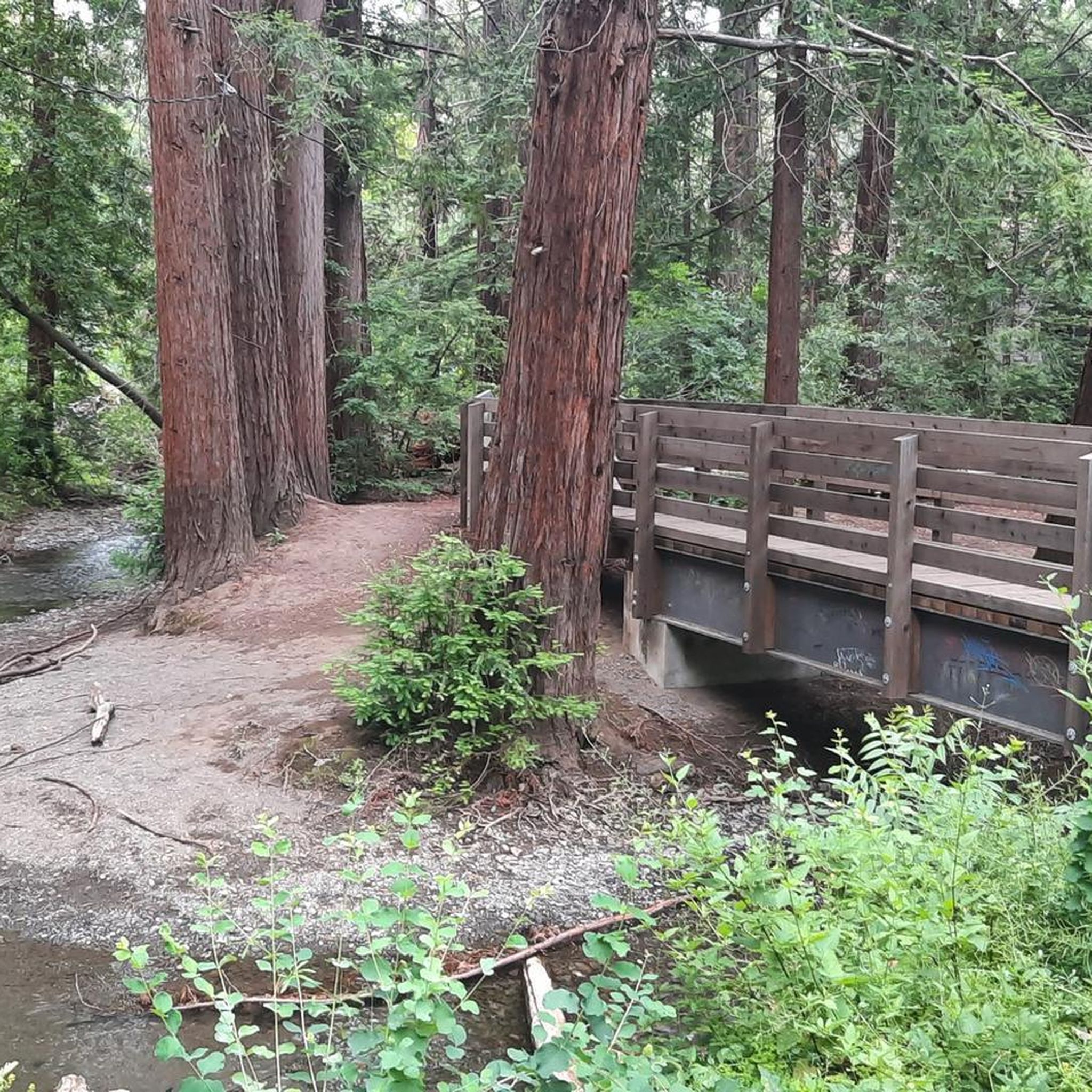
Yes, several routes connect to or feature local waterways. The Moffett Boulevard Bike Bridge – Stevens Creek bridge loop from Whisman connects key waterways and offers varied surfaces. You can also find creeks like Adobe Creek, Stevens Creek, and Permanente Creek traversing the area, with preserves like Redwood Grove offering tranquil settings along Adobe Creek.
What is the best time of year for gravel biking in Los Altos?
Los Altos generally offers pleasant conditions for gravel biking throughout much of the year. The region's mild climate means that while winter might bring some rain, many trails remain rideable. Spring and fall typically offer ideal temperatures and lush scenery. Summer can be warm, so early morning or late afternoon rides are often preferred.
Are there any open spaces or preserves that are particularly good for gravel biking?
Los Altos and Los Altos Hills feature several open spaces and preserves that are excellent for gravel biking. Areas like Byrne Preserve and Juan Prado Mesa Preserve in Los Altos Hills, which have pedestrian and equestrian trails, may also offer terrain suitable for gravel bikes. The semi-rural ambiance with large-lot zoning in Los Altos Hills contributes to open space preservation, providing many natural environments for riding.
Where can I find parking near gravel bike trails in Los Altos?
Many parks and trailheads in Los Altos and Los Altos Hills offer parking facilities. For example, Shoup Park and Grant Park provide parking and access to various paths. Specific parking information for individual routes can often be found on their respective komoot tour pages or by checking local city resources.
Are there any cafes or restaurants near the gravel biking routes?
Los Altos and its surrounding areas have a variety of cafes and restaurants where you can refuel. While specific establishments directly on every trail might be limited, the town centers of Los Altos and nearby communities offer numerous options for food and drink, often just a short ride from the trail networks.
Do I need any special permits to bike in the open space preserves around Los Altos?
Generally, many public trails and pathways in Los Altos and Los Altos Hills do not require special permits for cycling. However, for specific open space preserves, especially those managed by districts like the Midpeninsula Regional Open Space District, it's always advisable to check their official websites for any specific biking rules or permit requirements before you go.
Can I access gravel trails in Los Altos using public transport?
While Los Altos is primarily car-centric, some areas and trailheads may be accessible via public transport, particularly bus services that connect to nearby cities. Planning your route in advance and checking local transit schedules for stops near trail access points is recommended. The San Francisco Bay Trail – San Francisco Bay Trail loop from California Avenue, for instance, starts near a more urbanized area which might have better public transport links.
Most popular routes around Los Altos
Most popular attractions around Los Altos

Get inspired with the komoot mobile app


Explore more
Browse the best Gravel rides in other regions.
