The best running trails around Los Altos
4.7
(13)
916
runners
62
runs
Jogging routes around Los Altos offer diverse landscapes, from serene nature preserves to challenging hills and extensive trail systems. The region features well-maintained parks and pathways suitable for various fitness levels. Joggers can explore areas characterized by towering redwoods, winding creeks, and open spaces with panoramic views of the Santa Cruz Mountains. The topography includes both gentle paths and more rigorous routes with significant elevation changes.
Best jogging routes around Los Altos
- The most popular jogging route is Stephen E.…
Last updated: August 31, 2026
4.0
(2)
95
runners
14.5km
01:51
350m
350m
Hard run. Very good fitness required. Mostly paved surfaces. Suitable for all skill levels.
53
runners
23.7km
03:00
610m
610m
Hard run. Very good fitness required. Mostly paved surfaces. Suitable for all skill levels.

Sign up for free
5.0
(1)
172
runners
Hard run. Very good fitness required. Mostly paved surfaces. Suitable for all skill levels.
60
runners
17.0km
02:09
430m
430m
Hard run. Very good fitness required. Mostly paved surfaces. Suitable for all skill levels.
28
runners
8.98km
01:02
150m
150m
Moderate run. Good fitness required. Mostly paved surfaces. Suitable for all skill levels.
Get access to more routes and recommendations from other explorers.
Sign up for free
Already have an account?
Our route recommendations are based on thousands of hikes, rides, and runs completed by other people on komoot.
Start today with a free account
Your next adventure awaits.
Login or Signup

Tips from the Community

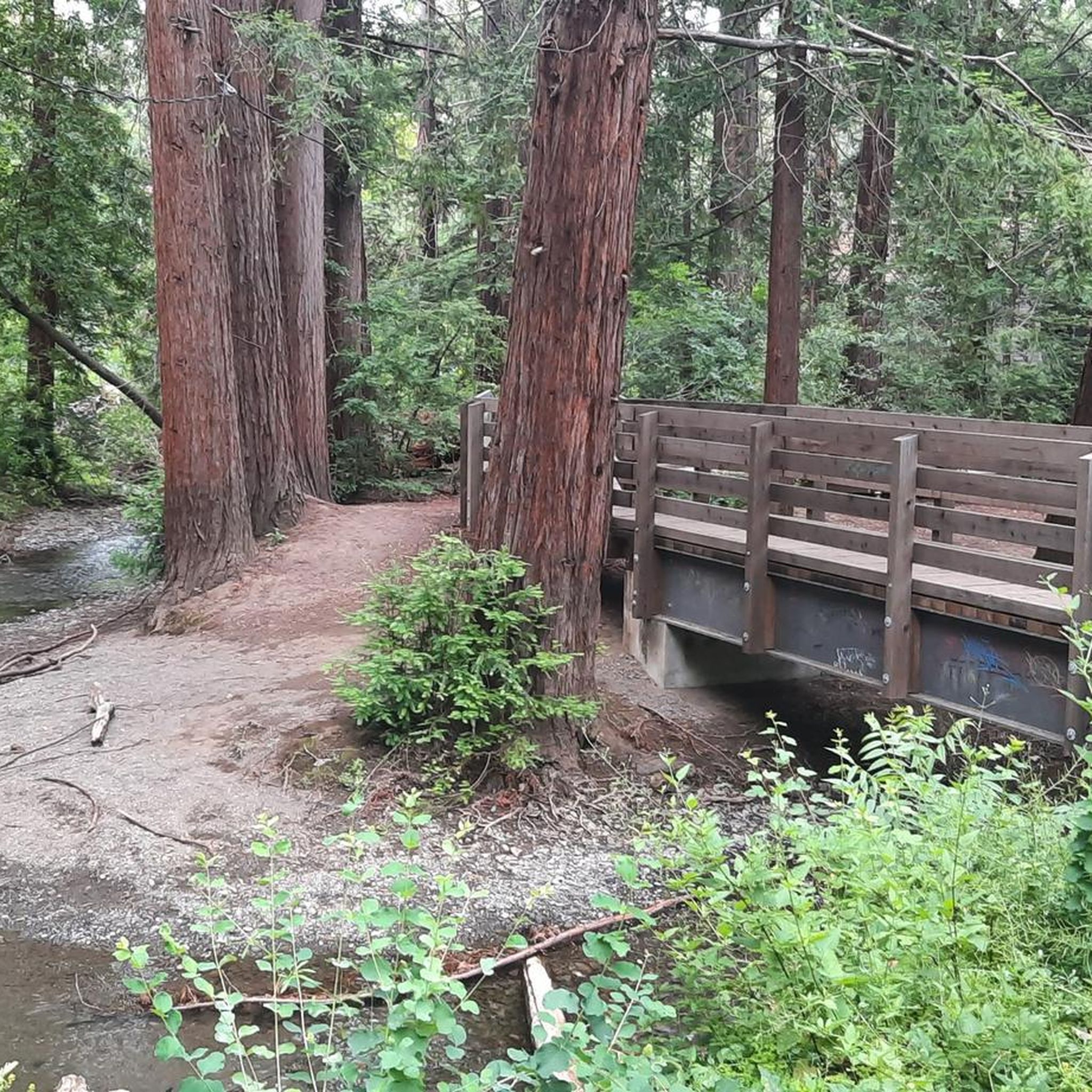
Rancho San Antonio County Park shares a boundary with Rancho San Antonio Open Space Preserve, which adds almost 4,000 acres of nature to the 289-acre park. The trails are well-kept and well-marked, but all bikes need to keep on paved-paths only.
0
0

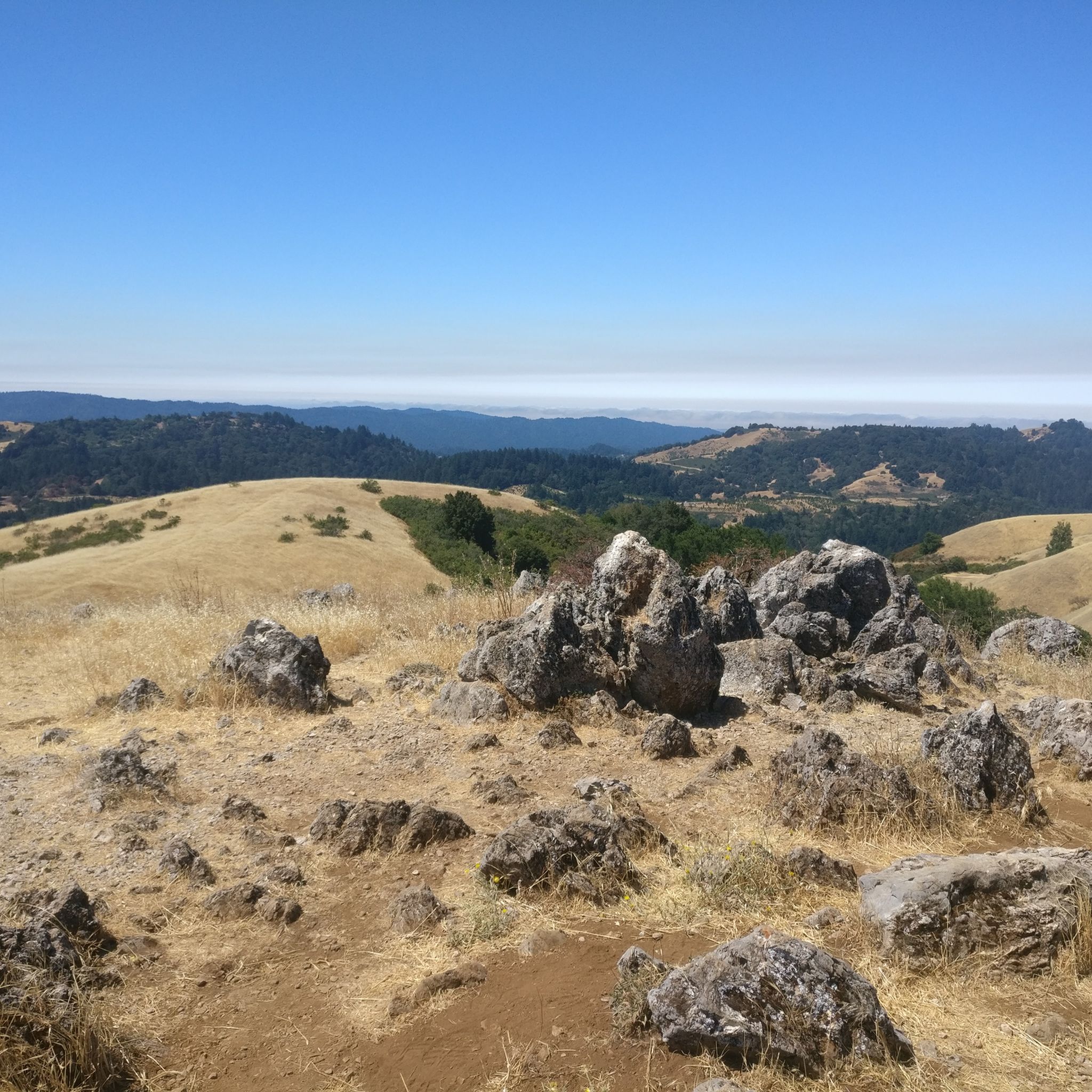
Quite steep on the south side but a really nice outlook over the south bay. Was a great little spot to stop in the shade in the afternoon and take in the view and the breeze
0
0

You can see great views from this spot along the High Meadow Trail. Views include the San Francisco Bay to the northwest and the opposing mountains to the east. There is a small bench to relax on and even enjoy a picnic.
0
0
You can see great views from this spot along the Upper High Meadows Trail. Views include the San Francisco Bay to the northwest and the opposing mountains to the east.
0
0
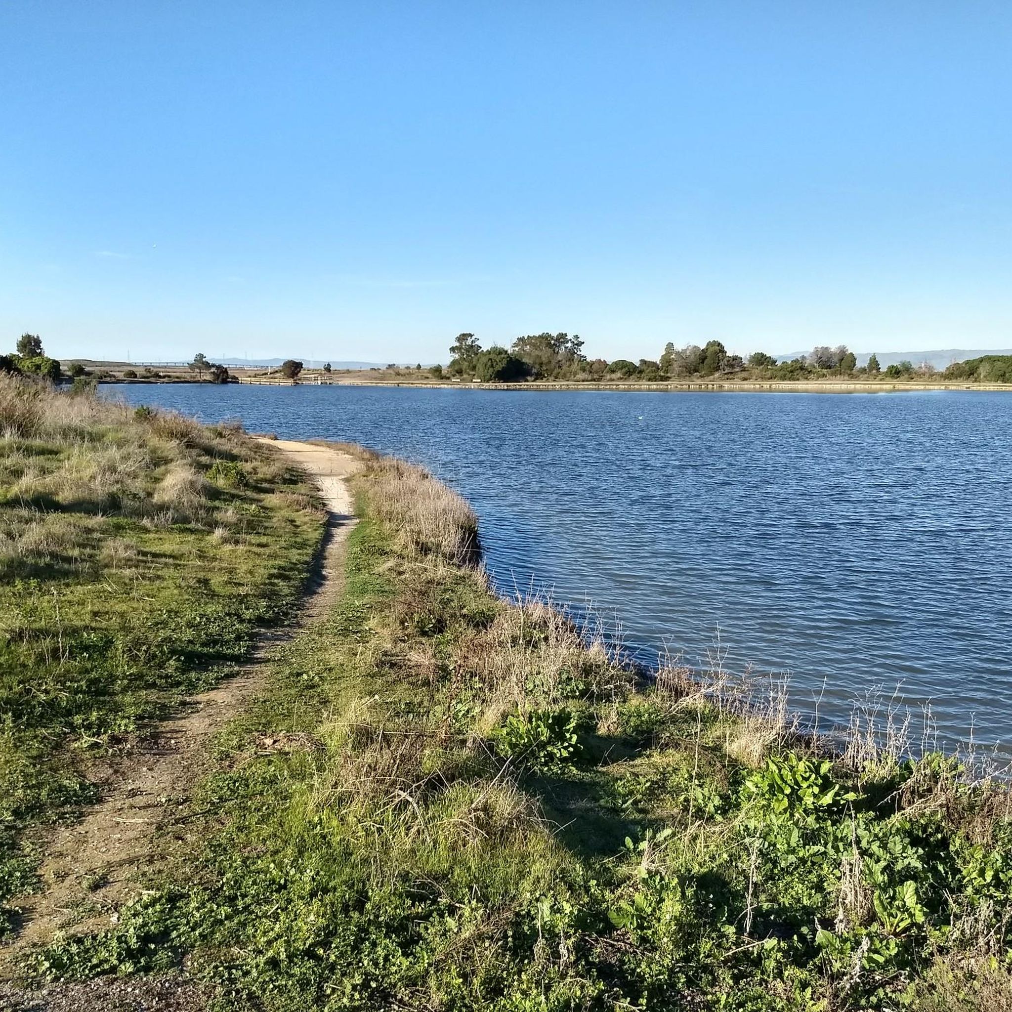
Rancho San Antonio County Park shares a boundary with Rancho San Antonio Open Space Preserve, which adds almost 4,000 acres of nature to the 289-acre park. The trails are well-kept and well-marked, and are generally pretty easy if you just stick close to the car. Some of the trails in the heart of the park have some hills and offer great views of the surrounding preserve and the city off in the distance.
0
0
Rancho San Antonio County Park shares a boundary with Rancho San Antonio Open Space Preserve, which adds almost 4,000 acres of nature to the 289-acre park. The trails are well-kept and well-marked and are generally pretty easy if you just stick close to the car. Some of the trails in the heart of the park have some hills and offer great views of the surrounding preserve and the city off in the distance.
0
0

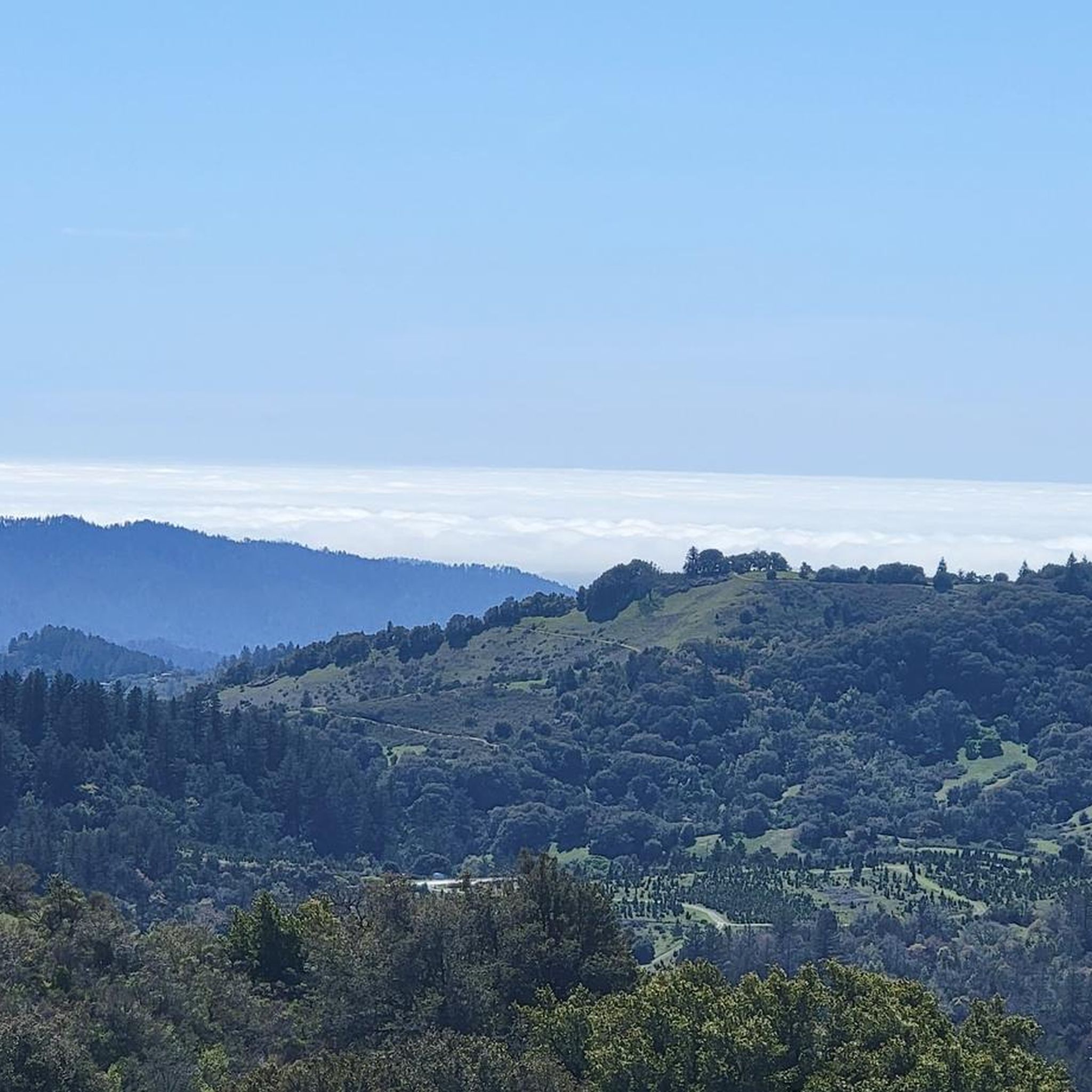
Cross under the power lines and see more great views.
0
0
Frequently Asked Questions
How many running routes are available in Los Altos?
Los Altos offers a wide selection of running routes, with over 45 options available for you to explore. These routes cater to various fitness levels, from easy jogs to challenging runs with significant elevation changes.
What kind of terrain and scenery can I expect on Los Altos running trails?
The running trails in Los Altos feature diverse landscapes. You'll find serene nature preserves like Rancho San Antonio, extensive trail systems, and challenging hills. Expect to see towering redwoods, winding creeks, and open spaces offering panoramic views of the Santa Cruz Mountains. The topography includes both gentle paths and more rigorous routes.
Are there easy jogging routes suitable for beginners in Los Altos?
Yes, Los Altos has several easy jogging routes perfect for beginners or those looking for a relaxed run. One such option is the Sleeper Park loop from Mountain View High School, which is 2.9 miles (4.7 km) long and has minimal elevation gain.
Where can I find challenging running routes with significant elevation in Los Altos?
For a more rigorous experience, Los Altos offers routes with challenging elevation gains. The PG&E, Black Mountain, Chamise and Rogue Valley Trail Loop is a difficult 14.7 miles (23.7 km) path featuring significant elevation gains and scenic views from Black Mountain. The area's hilly terrain, including peaks like Borel Hill, also provides demanding pathways.
Are there any notable landmarks or viewpoints along the running routes in Los Altos?
Absolutely! Many routes offer stunning views and pass by significant landmarks. For breathtaking vistas, consider routes that ascend to Black Mountain or Borel Hill, which provide panoramic views of the Bay Area and Santa Cruz Mountains. The Stephen E. Abbors and Upper Wildcat Canyon Loop also offers varied canyon scenery.
Are the jogging routes in Los Altos dog-friendly?
Many parks and trails in Los Altos are dog-friendly, but specific regulations can vary. Rancho San Antonio Preserve, for example, is a popular spot for outdoor activities, and generally allows dogs on leash on many trails. It's always best to check specific trail rules before heading out with your furry friend.
Are there family-friendly running routes or parks suitable for jogging with children?
Yes, Los Altos has several parks with paths suitable for family jogs. Shoup Park offers tranquil paths through wooded surroundings, while Grant Park and Heritage Oaks Park provide open spaces. Montclaire Park and Hillview Park also feature par course fitness trails that can be fun for families. For specific stroller-friendly options, look for paved paths within these parks.
Is parking available at the trailheads for running routes in Los Altos?
Yes, parking is generally available at the major trailheads and parks in Los Altos. For instance, Rancho San Antonio Preserve has dedicated parking areas. Many city parks like Shoup Park and Grant Park also offer parking facilities. It's advisable to check specific park or trailhead information for details on parking availability and any potential fees.
Can I reach the running trails in Los Altos by public transport?
While some areas of Los Altos are accessible by public transport, direct access to all trailheads might be limited. The Stevens Creek Trail connects Los Altos with surrounding areas and is often accessible via public transport hubs. For specific routes, it's recommended to check local bus schedules and connections to trail entry points.
What do other runners enjoy most about jogging in Los Altos?
The running experience in Los Altos is highly rated by the komoot community, with an average score of 4.3 stars from over 4 reviews. Runners frequently praise the diverse landscapes, from serene nature preserves to challenging hills, and the extensive, well-maintained trail systems. The variety of routes catering to different fitness levels and the scenic views are also often highlighted.
Are there circular running routes available in Los Altos?
Yes, many of the running routes in Los Altos are designed as loops, offering a convenient way to start and end your run at the same point. Examples include the Rancho San Antonio County Park loop and the PG&E, Black Mountain, Chamise and Rogue Valley Trail Loop, providing varied distances and difficulties in a circular format.
When is the best time of year to go running in Los Altos?
Los Altos offers a pleasant environment for running year-round, but spring and fall are particularly ideal. In spring, you can enjoy beautiful wildflowers, while fall brings comfortable temperatures and vibrant foliage. Summers are generally warm and dry, making early mornings or evenings preferable. Winters are mild, allowing for running, though some trails might be muddy after rain.
Are there any parks in Los Altos that offer fitness trails or specific jogging amenities?
Yes, several parks in Los Altos are well-suited for jogging and offer additional amenities. Hillview Park and Montclaire Park both feature par course fitness trails, providing varied terrain and exercise stations. Shoup Park offers tranquil paths, and Grant Park has large open spaces that can be utilized for running, alongside other sports facilities. You can find more information about local parks on the Los Altos city website.
Most popular routes around Los Altos
Most popular attractions around Los Altos

Get inspired with the komoot mobile app


Explore more
Browse the best Running Trails & Routes in other regions.
