The best road cycling routes around Los Altos
4.5
(546)
16,839
riders
19
rides
Road cycling around Los Altos features routes through rolling hills and lush landscapes, characteristic of Silicon Valley's natural beauty. The region is defined by its semi-rural atmosphere, with native oak trees and views towards the Santa Cruz Mountains. Road cyclists can find routes with varying distances and elevation gains across diverse terrain, including views of reservoirs and ridge lines. The area offers a mix of challenging hilly terrain and scenic vistas.
Best road cycling routes around Los Altos
- The most popular road cycling route is Junipero Serra Boulevard – Stanford Golf Course loop from Los Altos, a 14.2 miles (22.8 km) trail that takes 56 minutes to complete. This route offers easy riding with notable elevation changes.
- Another top favourite among local road cyclists is Adobe Creek – Altamont Road Vineyard loop from Los Altos, a moderate 17.9 miles (28.9 km) path. This route provides views of vineyards and the Santa Cruz Mountains.
- Local road cyclists also love the Junipero Serra Boulevard – Palo Alto-Los Altos Bike Path loop from Loyola Corners, a 22.4 miles (36.1 km) trail leading through varied suburban and natural landscapes, often completed in about 1 hour 36 minutes.
- Road cycling around Los Altos is defined by rolling hills, lush landscapes, and native oak trees. The network offers options for different ability levels, from easier loops to routes with significant climbs.
- The routes in Los Altos are highly rated by the komoot community with an average score of 4.7 stars from over 170 reviews. More than 5000 road cyclists have used komoot to explore Los Altos's varied terrain.
Last updated: September 1, 2026
5.0
(1)
93
riders
40.2km
02:07
670m
670m
Moderate road ride. Good fitness required. Mostly well-paved surfaces and easy to ride.
4.4
(5)
59
riders
Easy road ride. Great for any fitness level. Mostly well-paved surfaces and easy to ride.

Sign up for free
5.0
(2)
30
riders
23.9km
01:11
320m
320m
Moderate road ride. Good fitness required. Mostly well-paved surfaces and easy to ride.
4.0
(2)
48
riders
26.3km
01:24
330m
330m
Moderate road ride. Good fitness required. Some segments of this route may be unpaved and difficult to ride.
5.0
(1)
49
riders
Moderate road ride. Great for any fitness level. Some segments of this route may be unpaved and difficult to ride.
Get access to more routes and recommendations from other explorers.
Sign up for free
Already have an account?
Our route recommendations are based on thousands of hikes, rides, and runs completed by other people on komoot.
Start today with a free account
Your next adventure awaits.
Login or Signup
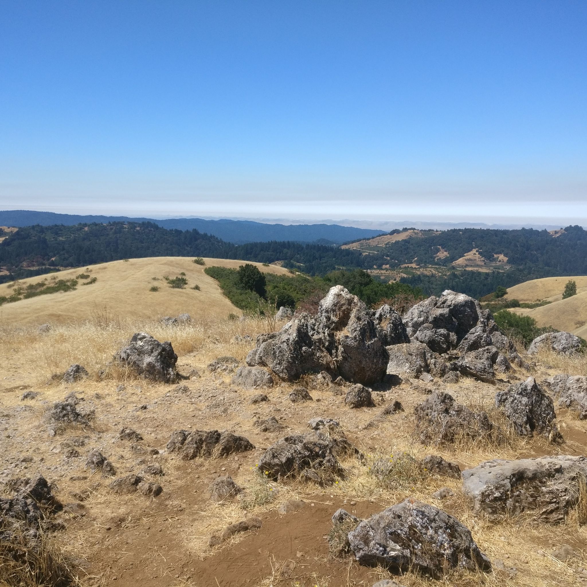
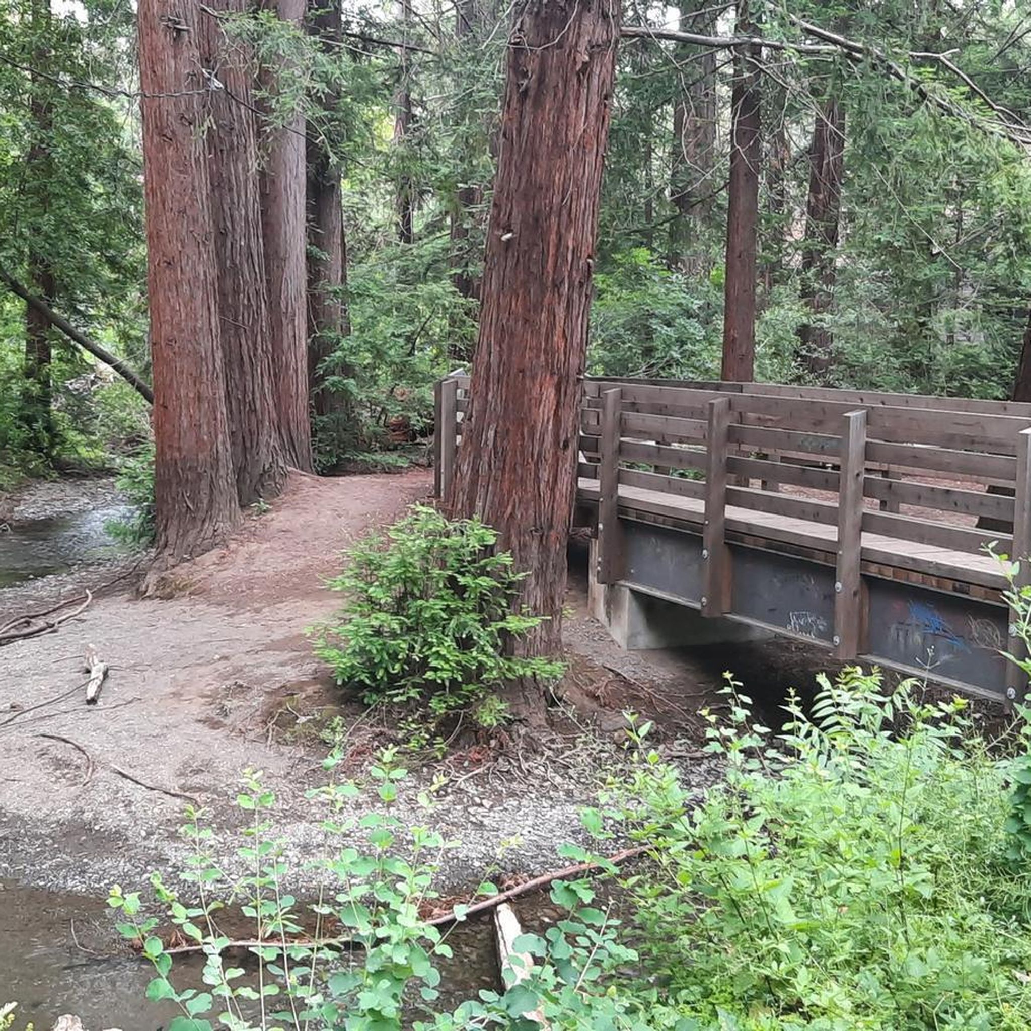
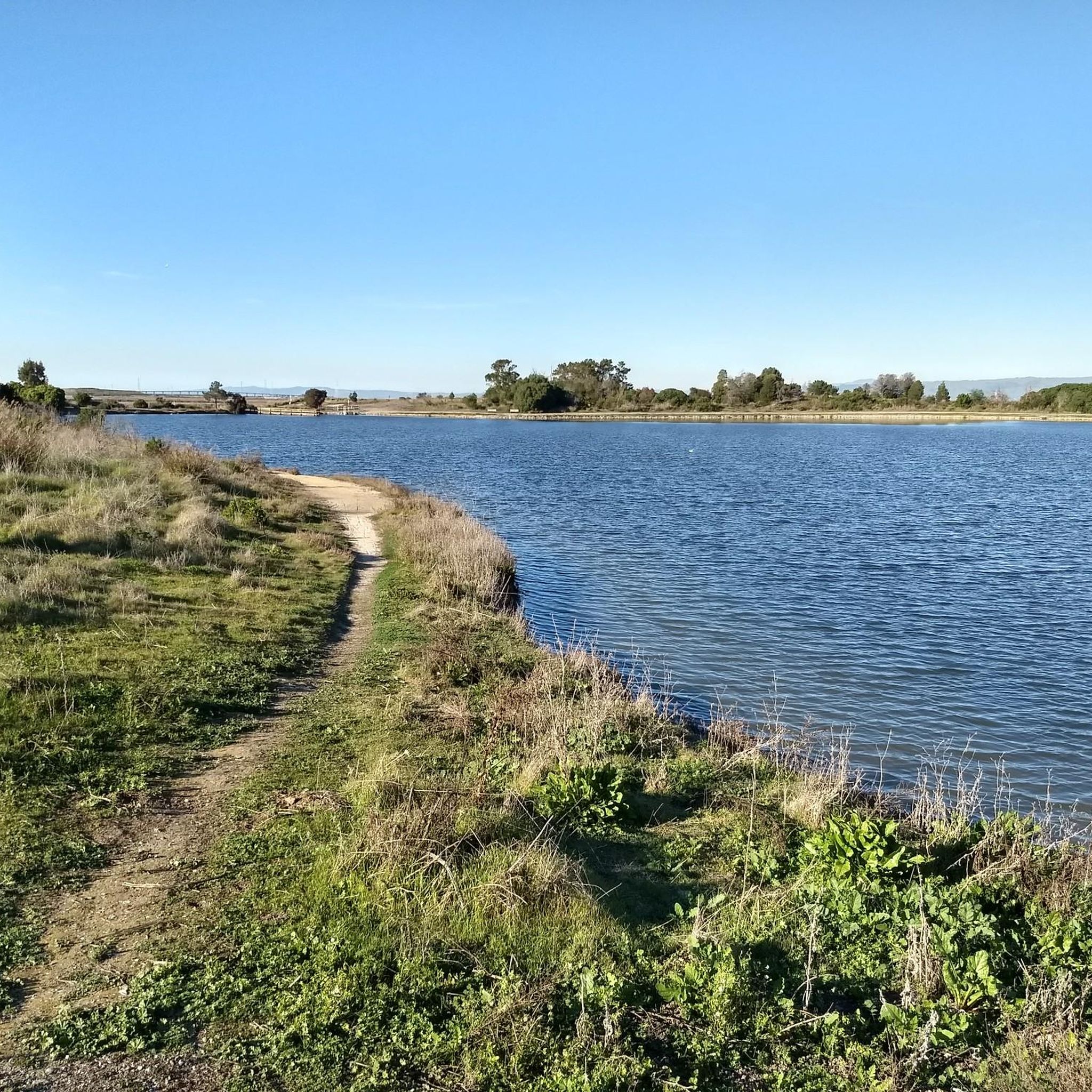
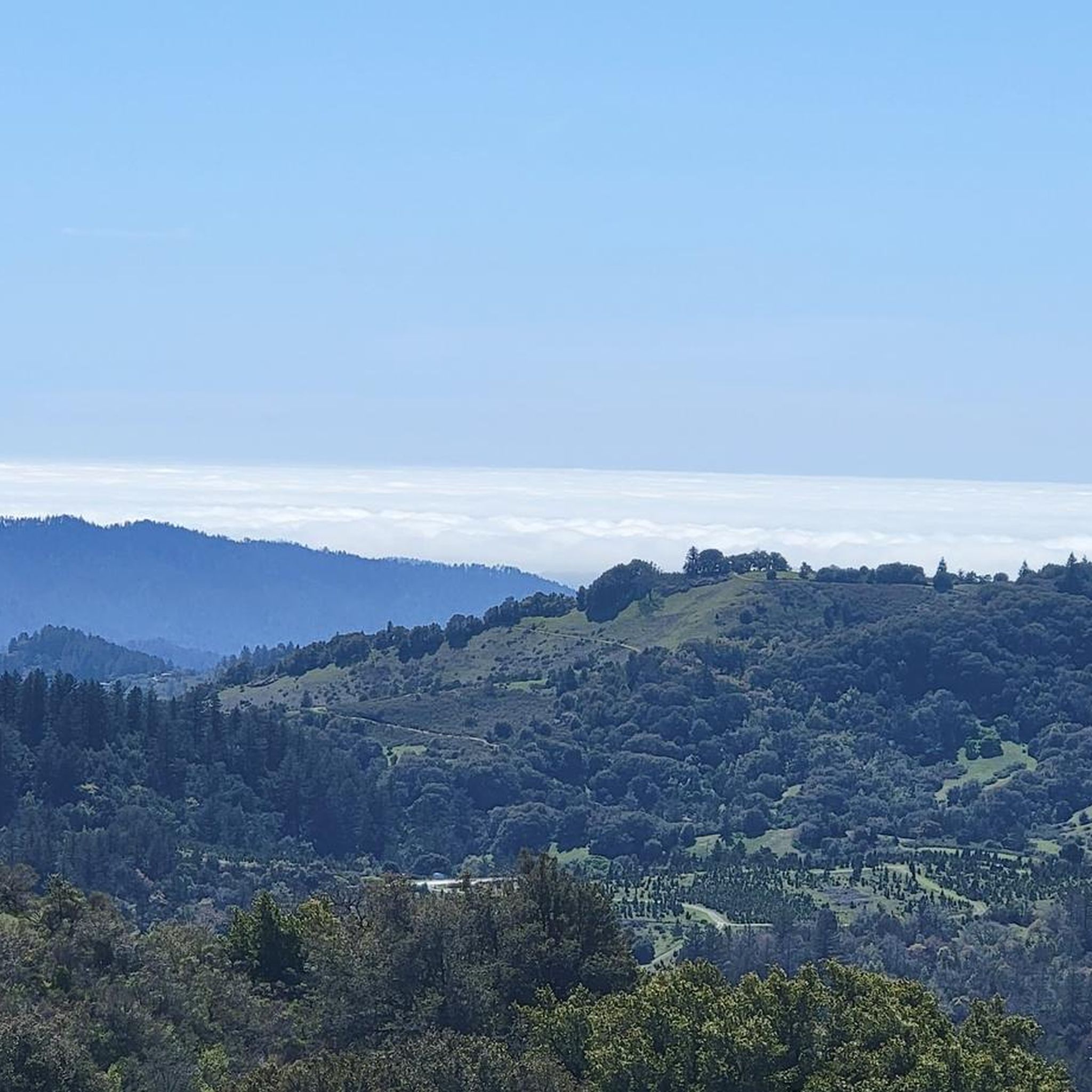

Tips from the Community

This scenic linear park, separating Los Altos from Los Altos Hills, offers a smooth, uninterrupted route ideal for a relaxing bike ride. Cyclists can enjoy its shaded paths, spot public art installations along the way, and pause at the gazebo or open grass field for a break with a view.
0
0
Downtown Los Altos is a charming six-block, pedestrian‑friendly village centered on Main and State Streets. The tree-lined streets are full of cafés, restaurants, and shops.
0
0

A sculpture made by Augustin Rodnin
0
0


The Palo Alto-Los Altos Bike and Pedestrian Path, also known as the Hetch Hetchy Trail, is a well-maintained multi-use route that connects Los Altos Avenue to Arastradero Road. It’s popular for biking, running, and hiking, offering scenic views and access to parks like Terman Park, Bol Park, and Barron Park Donkeys. The trail includes a mini library and is part of Henry M. Gunn High School's recommended walking routes.
1
0

Moody Road is a short route for cyclists connected to nearby trails or longer climbs like Page Mill Road. It offers a mix of rolling hills and quiet, scenic vibes. The last km is tough, but in the end it is always worth it.
0
0
Moody Road is a short route for cyclists connected to nearby trails or longer climbs like Page Mill Road. It offers a mix of rolling hills and quiet, scenic vibes. The last km is though, but in the end it is always worth it.
1
0
Page Mill Road is a classic route for cyclists looking for a challenge, with its steep climbs, sharp switchbacks, and stunning views of Silicon Valley. Starting near Palo Alto and climbing into the Santa Cruz Mountains, the ride tests your legs but rewards you with breathtaking scenery. Be prepared for varying gradients, especially in the lower sections, and pack plenty of water—the climb can be intense, especially on warmer days.
0
0
Frequently Asked Questions
What kind of terrain can I expect on road cycling routes in Los Altos?
Los Altos is known for its diverse and often hilly terrain, offering a mix of challenging ascents and scenic descents. You'll encounter rolling hills, lush landscapes, and native oak trees, particularly in Los Altos Hills. While most road cycling routes are paved, some areas might feature unpaved sections, especially in open space preserves.
Are there challenging climbs for experienced road cyclists in Los Altos?
Yes, Los Altos offers significant challenges for experienced road cyclists. The region is well-known for its hilly landscape with substantial elevation gains. Routes like the Alpine Road Loop (92.0 km with 1,830 meters elevation) and the Stevens Creek Reservoir – Skyline Boulevard loop (109 km with 2,280 meters elevation) are considered hard rides. You can also find steep ascents like Blandor Way, which averages a 13% gradient.
Are there easy road cycling routes suitable for beginners in Los Altos?
Yes, Los Altos caters to all fitness levels. There are several easy, mostly paved paths suitable for beginners or those looking for a more relaxed ride. These routes typically involve up to 2 hours of cycling with around 1,000 feet of elevation gain. An example of an easy route is the Junipero Serra Boulevard loop from Los Altos.
What scenic views or natural features can I expect on Los Altos road cycling routes?
Road cycling routes in Los Altos often feature picturesque views of natural attractions. You can enjoy vistas of the Stevens Creek Reservoir and Arastradero Lake. Many paths also offer expansive ridge views, particularly from areas like Skyline Boulevard, providing glimpses of the Santa Cruz Mountains and surrounding landscapes.
What attractions can I see along the road cycling routes in Los Altos?
While cycling in Los Altos, you might pass by notable features such as Junipero Serra Boulevard, a common thoroughfare for cyclists, and the Palo Alto-Los Altos Bike Path. The area is also bordered by several open space preserves, including Rancho San Antonio County Park, which serves as a frequent starting point for many loops.
Are there family-friendly road cycling options in Los Altos?
Yes, Los Altos offers options for families. There are designated kids' biking loops designed to keep younger cyclists on separate paths with less traffic. For a relatively flat, paved area where children can practice, the Gardner Bullis School is a good option. Some of the easier routes in the area can also be suitable for families with older children.
What do other road cyclists say about the routes in Los Altos?
The road cycling routes in Los Altos are highly regarded by the komoot community, with an average rating of 4.7 stars from over 170 reviews. Cyclists often praise the varied terrain, the beautiful scenery through rolling hills and lush landscapes, and the well-maintained paths that offer options for different ability levels.
How long are the road cycling routes around Los Altos?
The road cycling routes around Los Altos vary significantly in length. You can find shorter, easy loops like the Junipero Serra Boulevard – Arastradero Lake loop from Los Altos, which is about 26.4 km (16.4 miles). Longer, more challenging routes can extend over 100 km, such as the Stevens Creek Reservoir – Skyline Boulevard loop, offering options for rides lasting from under an hour to several hours.
Are there many loop road cycling routes in Los Altos?
Yes, the Los Altos area features numerous loop road cycling routes, making it convenient to start and end your ride in the same location. Many popular routes, such as the Altamont Road Vineyard – Elena Road Viewpoint loop from Rancho San Antonio County Park, are designed as loops, allowing you to experience diverse scenery without retracing your path.
What is the best time of year for road cycling in Los Altos?
Los Altos generally offers good road cycling conditions year-round due to its mild climate. However, the spring and fall months often provide the most pleasant temperatures for longer rides. While winter cycling is possible, some unpaved paths in Los Altos Hills might become more challenging due to wet conditions.
Are there places to stop for refreshments or amenities along the routes?
Yes, depending on the specific route, you can find various amenities. Los Altos and nearby towns offer cafes and shops where you can refuel. Some routes may pass by local establishments like Rossotti's Alpine Inn, providing opportunities for a break. It's always a good idea to plan your route and check for available stops beforehand.
Most popular routes around Los Altos
Most popular attractions around Los Altos

Get inspired with the komoot mobile app


Explore more
Browse the best Road cycling routes in other regions.
