The best gravel rides around Palo Alto
4.8
(34)
315
riders
49
rides
Gravel biking around Palo Alto offers diverse landscapes, from flat baylands to rolling hills and scenic preserves. The region features extensive trail networks, including smooth gravel paths along the San Francisco Bay and more challenging routes through oak woodlands and grasslands. This varied topography provides a range of terrains suitable for different levels of cyclists. The area's commitment to preserving open spaces contributes to a rich outdoor experience.
Best gravel bike trails around Palo Alto
- The most popular gravel bike…
Last updated: August 31, 2026
4.0
(1)
4
riders
29.7km
02:00
40m
40m
Easy gravel ride. Great for any fitness level. Mostly paved surfaces. Suitable for all skill levels.
4.6
(5)
26
riders
30.0km
01:53
350m
350m
Moderate gravel ride. Good fitness required. Mostly paved surfaces. Suitable for all skill levels.

Sign up for free
5.0
(1)
4
riders
Moderate gravel ride. Good fitness required. Mostly paved surfaces. Suitable for all skill levels.
5.0
(1)
21
riders
Easy gravel ride. Great for any fitness level. Mostly paved surfaces. Suitable for all skill levels.
5.0
(5)
37
riders
Moderate gravel ride. Good fitness required. Mostly paved surfaces. Suitable for all skill levels.
Get access to more routes and recommendations from other explorers.
Sign up for free
Already have an account?
Our route recommendations are based on thousands of hikes, rides, and runs completed by other people on komoot.
Start today with a free account
Your next adventure awaits.
Login or Signup

Other adventures around Palo Alto

Tips from the Community


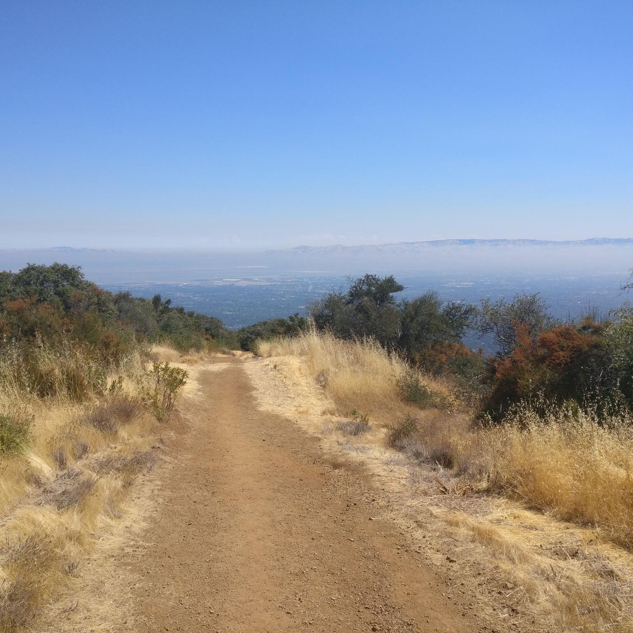
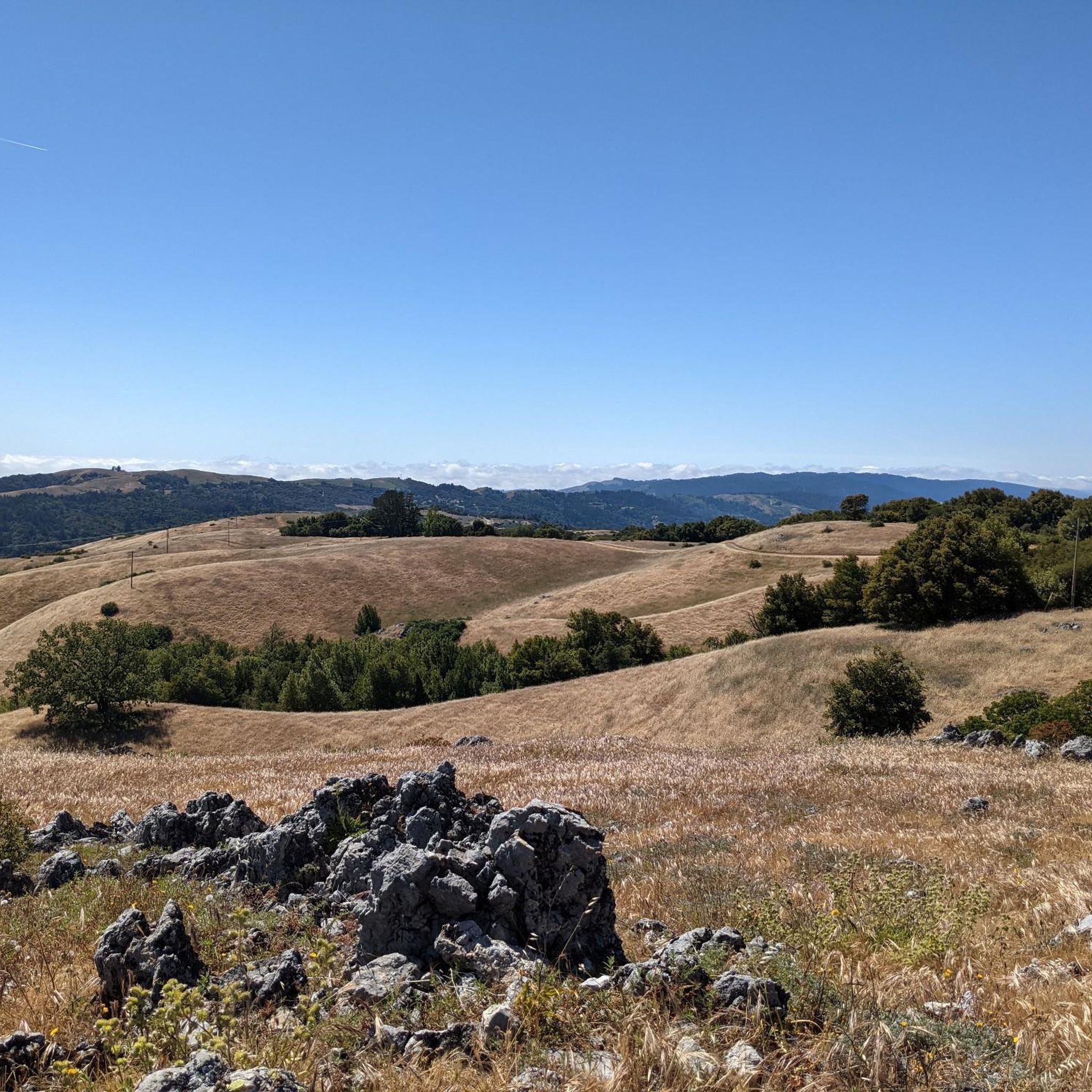
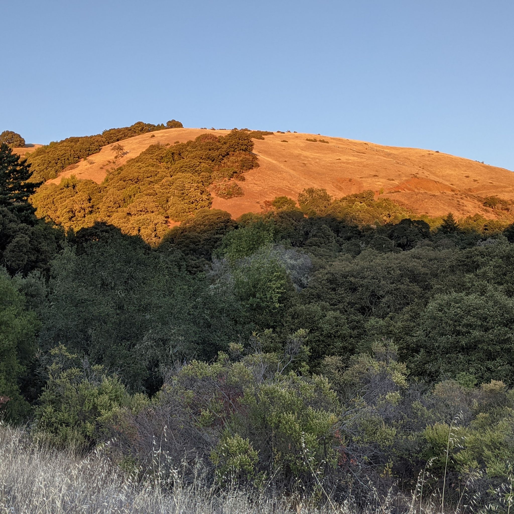
Enid Pearson-Arastradero Preserve offers rolling grasslands mixed with oak and evergreen trees. The trail system starts on pavement and transitions to packed dirt and gravel—great for bikes with wider tires or a solid gravel setup. Keep an eye out for deer, coyotes, and even bobcats, and take a moment to pause at one of the benches or by Arastradero Lake to enjoy the open views.
0
0

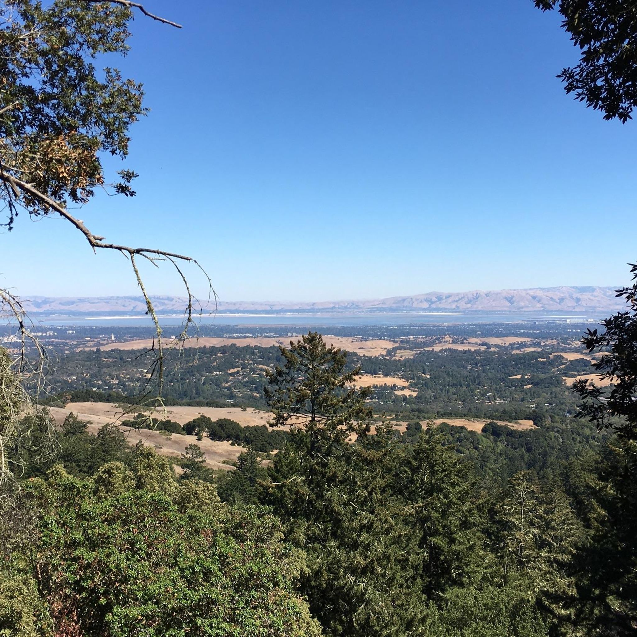
Just right off the picnic bench area lies a viewpoint of the Pearson-Arastradero Preserve. An open meadow offers views of the preserve and surrounding mountains. It's a nice shaded area for a break!
0
0
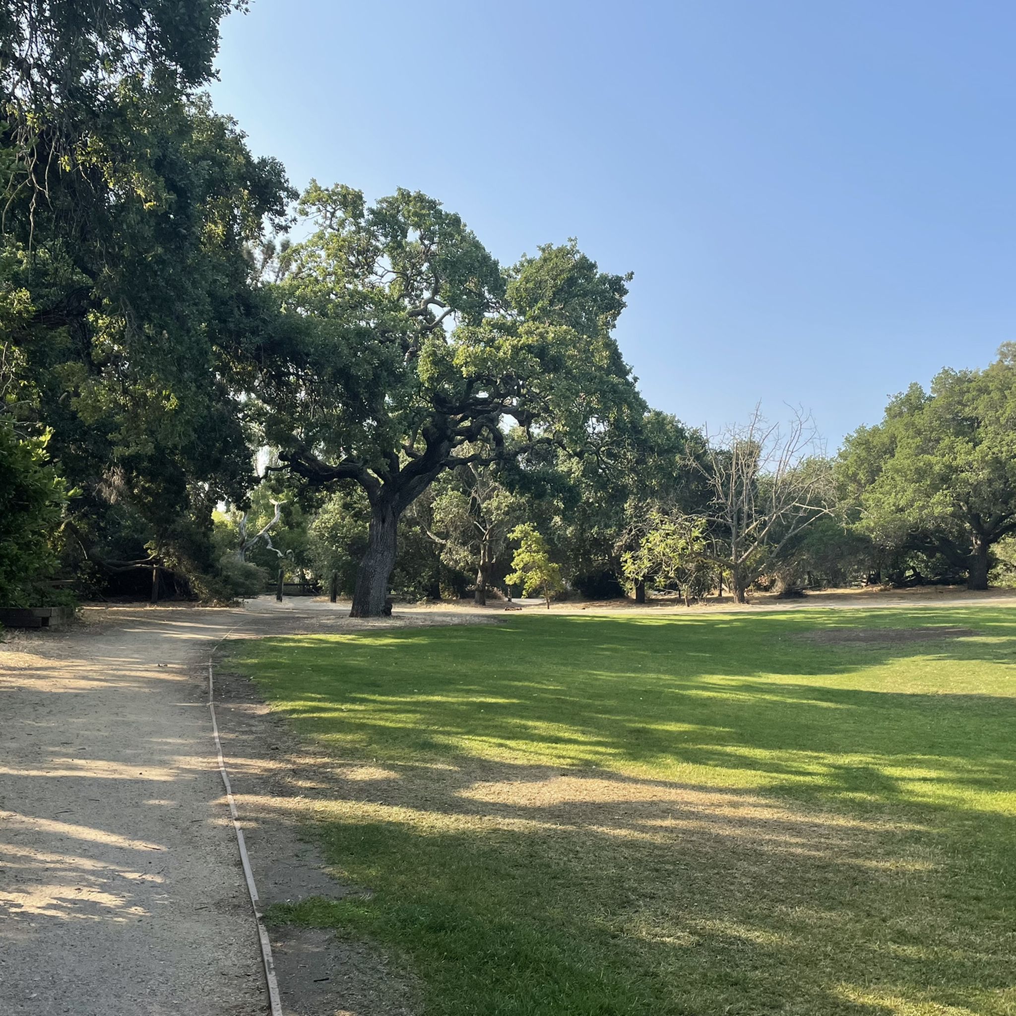
Here, the Steve's Creek Nature Trail and the Canyon Trail intersect. A lovely patch of grass surrounds the junction, making it an ideal spot for a break.
0
0

This winding side road is very lightly trafficked and carries you between Stanford and the Palo Alto hills with partial shade the entire way. On the east side of the road you will find Frenchman's Tower, and old brick landmark.
0
0

The San Francisco Bay Trail is a flat, paved trail that runs along the border of the bay. It is a great place for a run because it is traffic free and has great views.
0
0

Ravenswood is a multi-use trail that encircles a wetland on the edge of the San Francisco Bay. You are likely to encounter a high number of local and migratory bird species while exploring the area, and though noise can be an issue near the highway it gets much quieter the further out you go.
0
0
The San Francisco Bay Trail consists of over 350 miles of interconnected trails around the eponymous bay. This section, between the urban sprawl and evaporation bonds for salt mining, won't win any awards for its scenic views. However, it is a nice separate trail that allows you to ride away from road traffic.
0
0
Frequently Asked Questions
How many gravel bike trails are available around Palo Alto?
There are over 50 gravel bike trails around Palo Alto, offering a wide range of experiences. You'll find 7 easy routes, 25 moderate routes, and 21 more challenging options to explore.
What types of landscapes can I expect on gravel rides in Palo Alto?
Palo Alto's gravel routes traverse diverse landscapes, from the flat, scenic marshlands of the Palo Alto Baylands Nature Preserve to the rolling hills and oak woodlands of preserves like Pearson-Arastradero. You can enjoy bay views, open grasslands, and forested areas, with some routes offering panoramic vistas of the Bay Area.
Are there any easy or beginner-friendly gravel bike trails in the area?
Yes, Palo Alto offers several easy gravel routes perfect for beginners or those seeking a relaxed ride. The San Francisco Bay and Ravenswood Trail Loop is an excellent choice, providing smooth gravel paths, scenic bay views, and birdwatching opportunities. The Palo Alto Baylands Gravel Loop is also known for its smooth terrain suitable for most bikes.
What are some good options for moderate gravel biking challenges?
For moderate challenges, consider routes that venture into the foothills. The Arastradero Lake – Bowl Loop Jumps loop from California Avenue offers varied terrain through rolling grasslands and oak trees. Another great option is the San Francisco Bay Trail – Shoreline Lake loop from San Antonio, which combines baylands with slightly more varied sections.
Are there any family-friendly gravel biking routes in Palo Alto?
Absolutely. The flat, multi-use trails within the Palo Alto Baylands Nature Preserve are ideal for families. These smooth gravel paths are perfect for relaxed cycling and offer opportunities for birdwatching. Many of the easy routes are suitable for families looking for a pleasant outdoor experience.
What kind of scenic viewpoints can I find along the gravel routes?
Many routes offer beautiful scenic viewpoints. The Palo Alto Baylands provide expansive views of the San Francisco Bay. For more elevated vistas, areas like Foothills Nature Preserve offer spectacular panoramic views of the Bay Area. Even the paved Stanford Dish Loop, while not gravel, is popular for its tremendous views of the campus and Peninsula.
What do other gravel bikers enjoy most about riding in Palo Alto?
The gravel biking experience in Palo Alto is highly rated by the komoot community, with an average score of 4.6 stars from over 30 reviews. Riders often praise the diverse landscapes, from the peaceful baylands to the challenging hills, and the extensive network of trails that cater to all skill levels. The scenic beauty and variety of terrain are frequently highlighted.
Are there any notable landmarks or attractions near the gravel trails?
Yes, several interesting spots are close to the trails. You can find the historic Woodside Store, or explore natural features like San Tomas Aquino Creek. The San Francisco Bay Trail itself is a major attraction, connecting various natural areas.
Are there any lakes or water features accessible from the gravel routes?
Yes, you can find several lakes and water features. Arastradero Lake is a prominent feature within the Pearson-Arastradero Preserve, and the Stevens Creek Reservoir is also nearby. The Palo Alto Baylands Nature Preserve offers extensive marshlands and wetlands, providing a unique aquatic environment.
What is the best time of year for gravel biking in Palo Alto?
Palo Alto's climate is conducive to year-round exploration, making it a great destination for gravel biking in most seasons. The mild weather generally allows for comfortable riding, though conditions can vary. It's always a good idea to check local weather forecasts before heading out.
Are there many loop routes available for gravel biking?
Yes, many gravel routes in Palo Alto are designed as loops, allowing you to start and end at the same point. Examples include the San Francisco Bay Trail – Stevens Creek bridge loop from California Avenue and the White Oak Trail – Bella Vista Trail loop from Los Trancos Open Space Preserve, providing convenient circular journeys.
Where can I find parking for gravel bike trails in Palo Alto?
Parking is generally available at the entrances to many of the preserves and trailheads. For instance, routes starting from California Avenue or near the Palo Alto Baylands Nature Preserve often have designated parking areas. It's advisable to check specific route details for the most convenient parking options.
Most popular routes around Palo Alto
Most popular attractions around Palo Alto

Get inspired with the komoot mobile app


Explore more
Browse the best Gravel rides in other regions.
